
The official summer season is right in front of us, and in order to celebrate it, I decided to visit one of my favourite mountains of Greece, the Athamanika (or Tzoumerka).
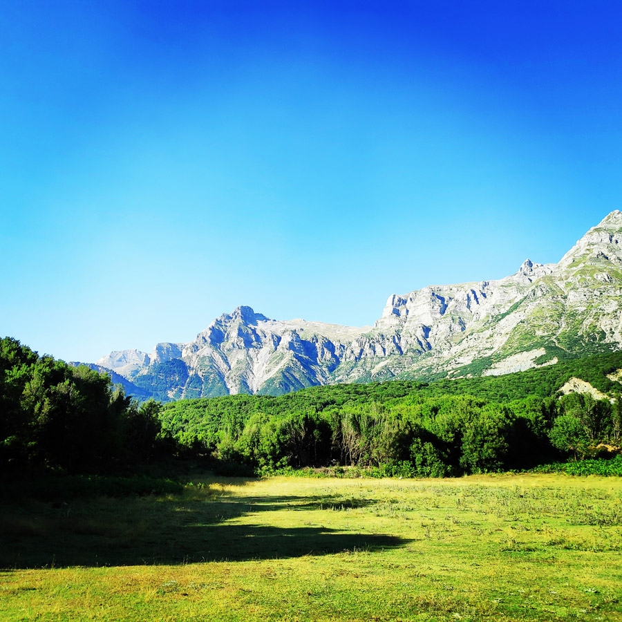
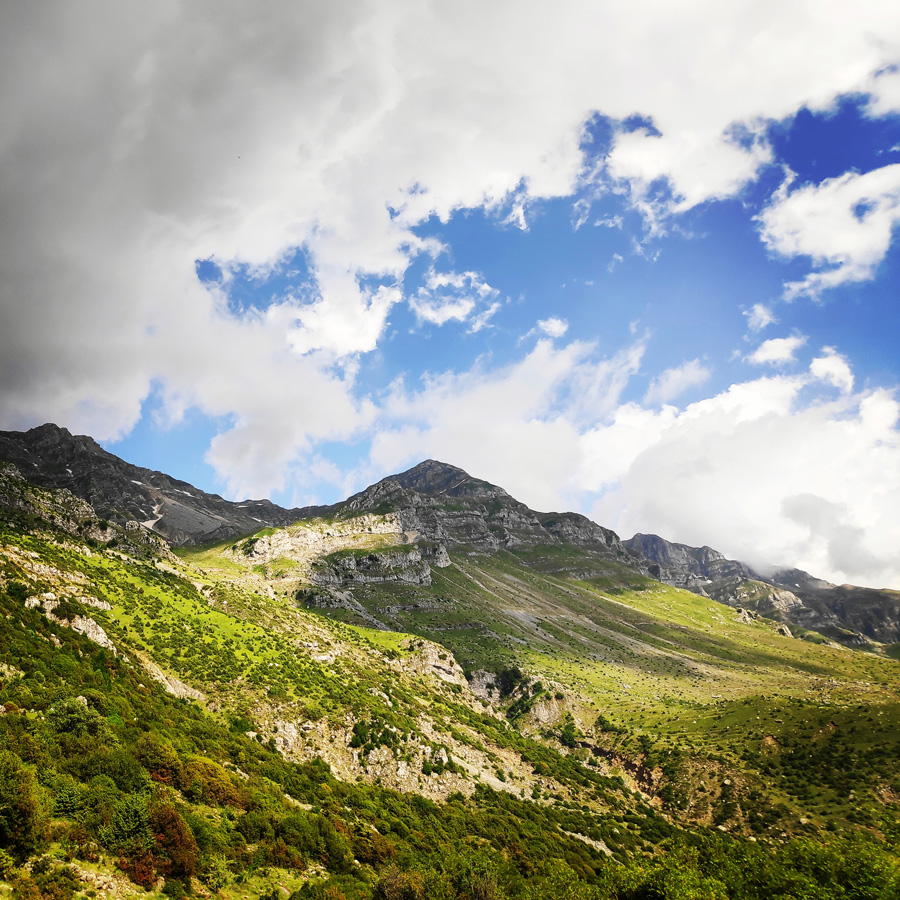
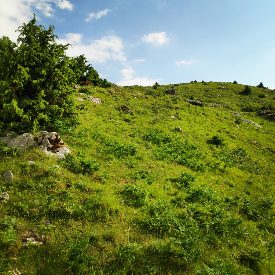
The cycle of seasons at Tzoumerka (Athamanika) follows its own calm rhythms. Words such as awe and admiration are not enough to describe the splendor of the nature.
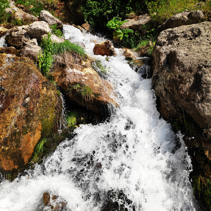
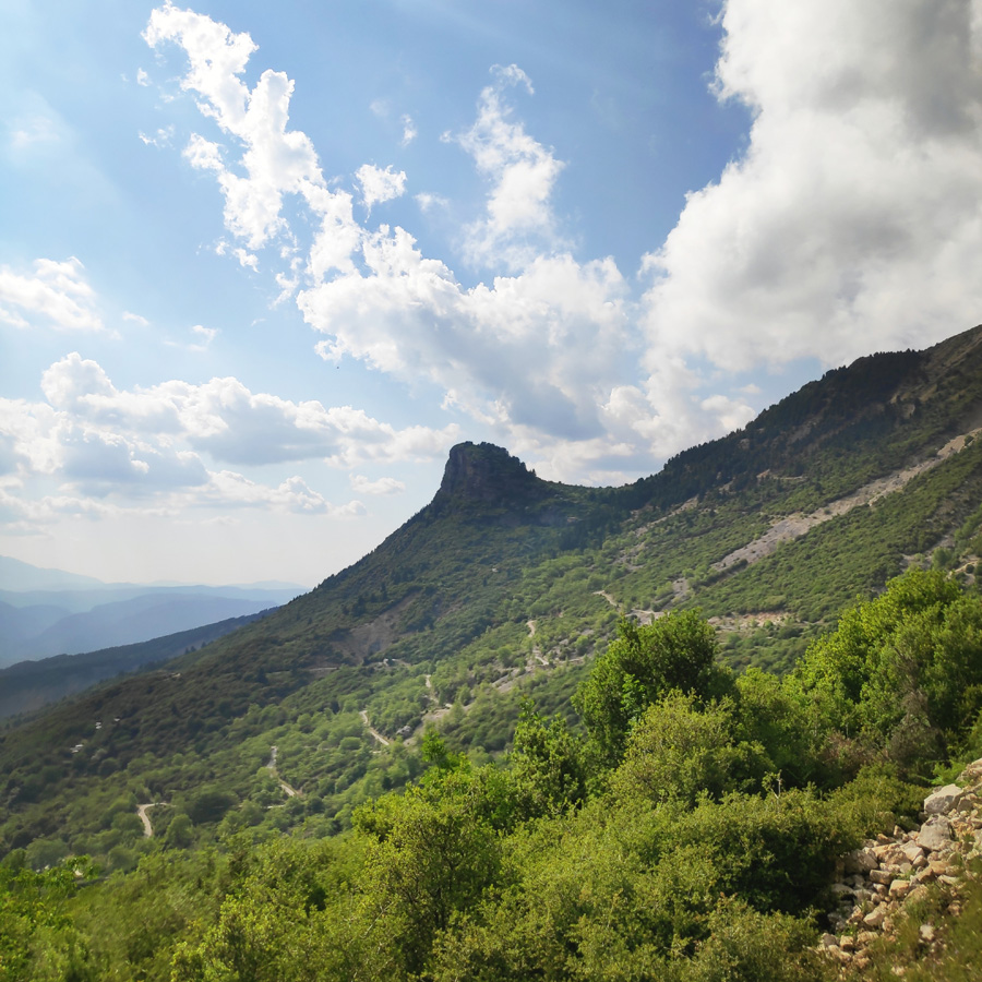
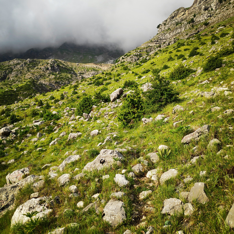
Here, time seems to hang still over the gorges, the vertical cliffs of the ravines and the snow-covered firs that climb the rocks up to the naked alpine zone. The abundant running water and impressive waterfalls justify the omnipresent dense flora and satisfy both the physical thirst as well as that of the sense of sight.
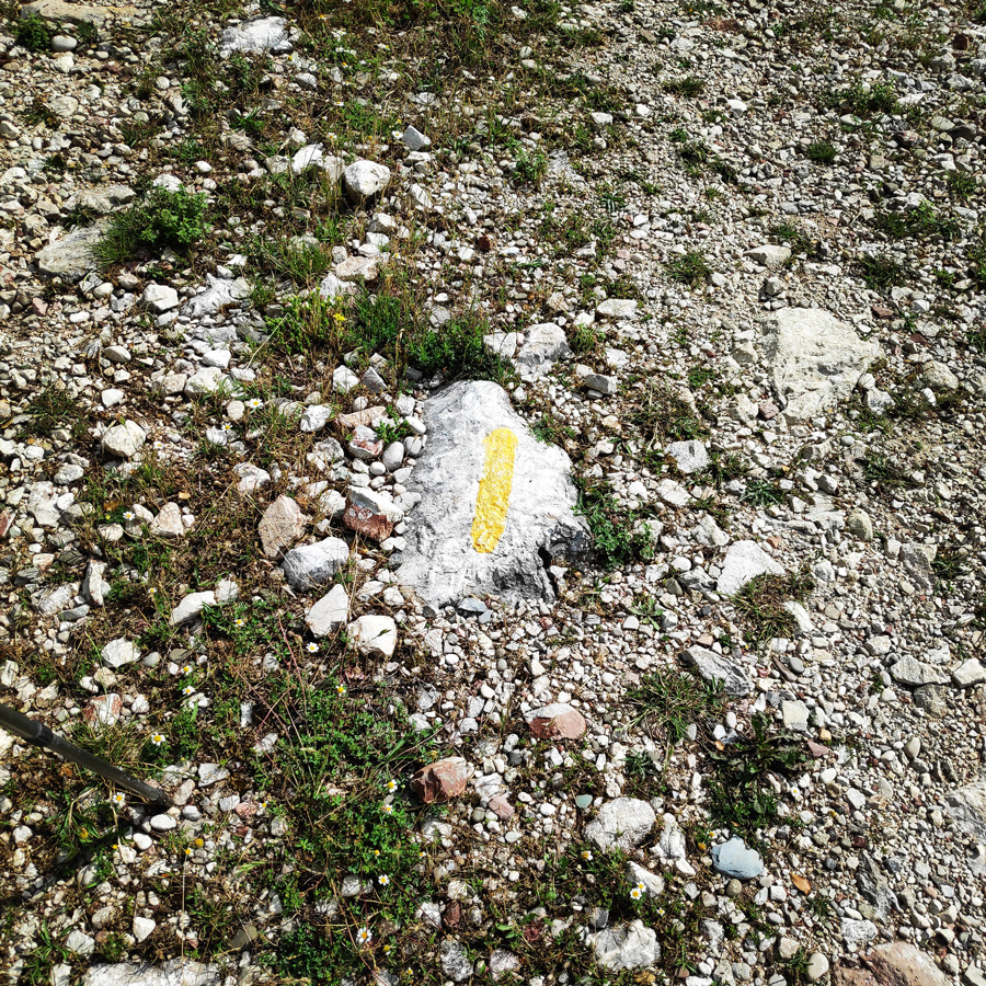
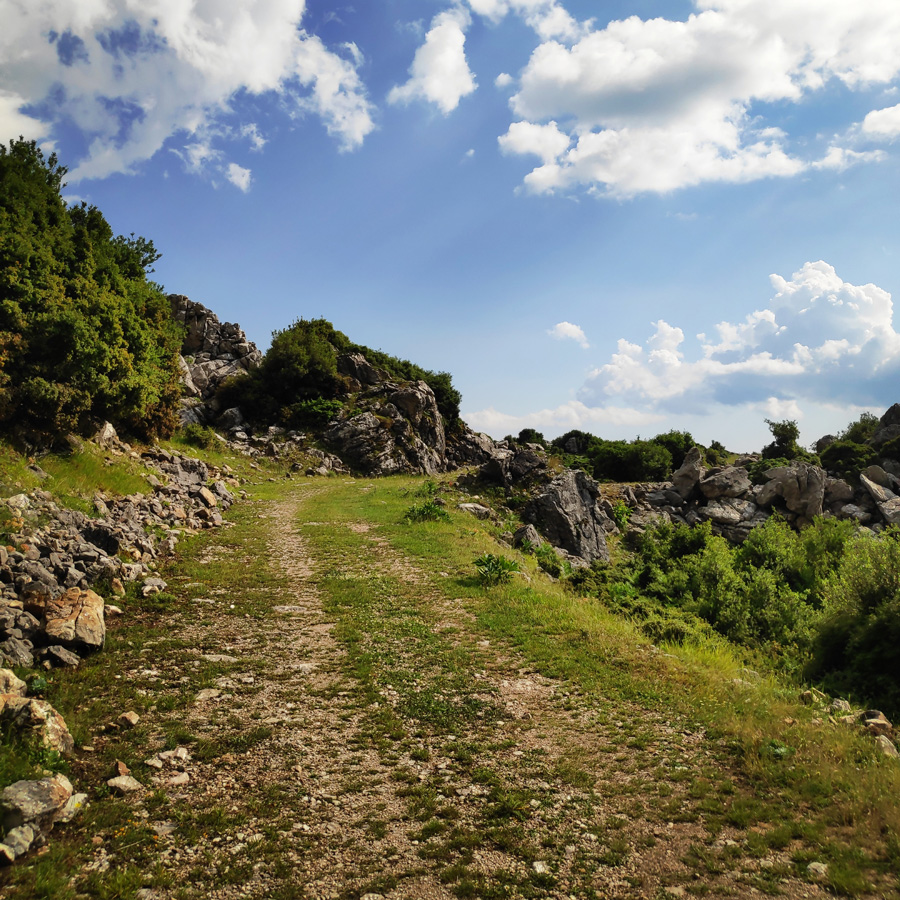
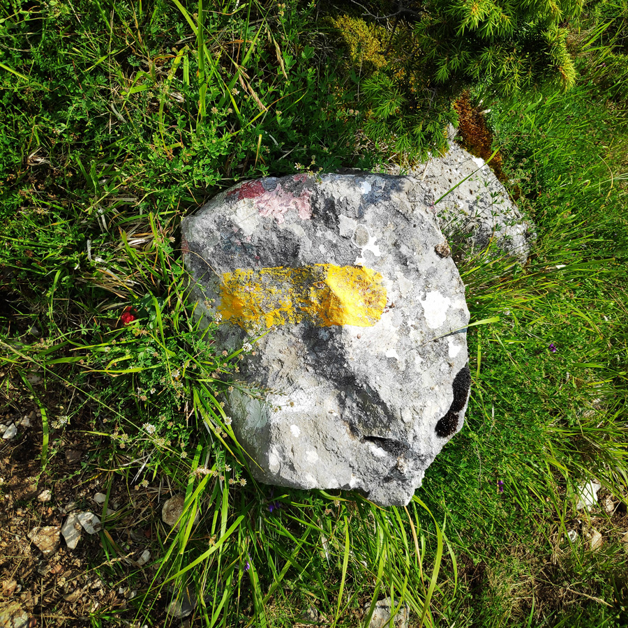
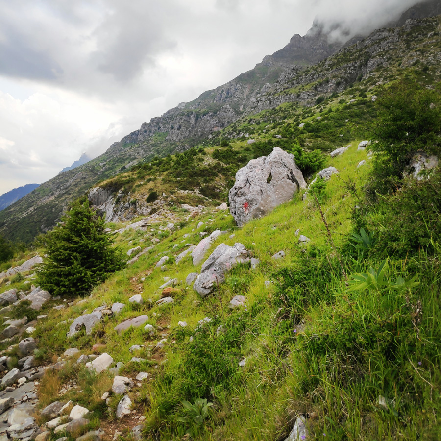
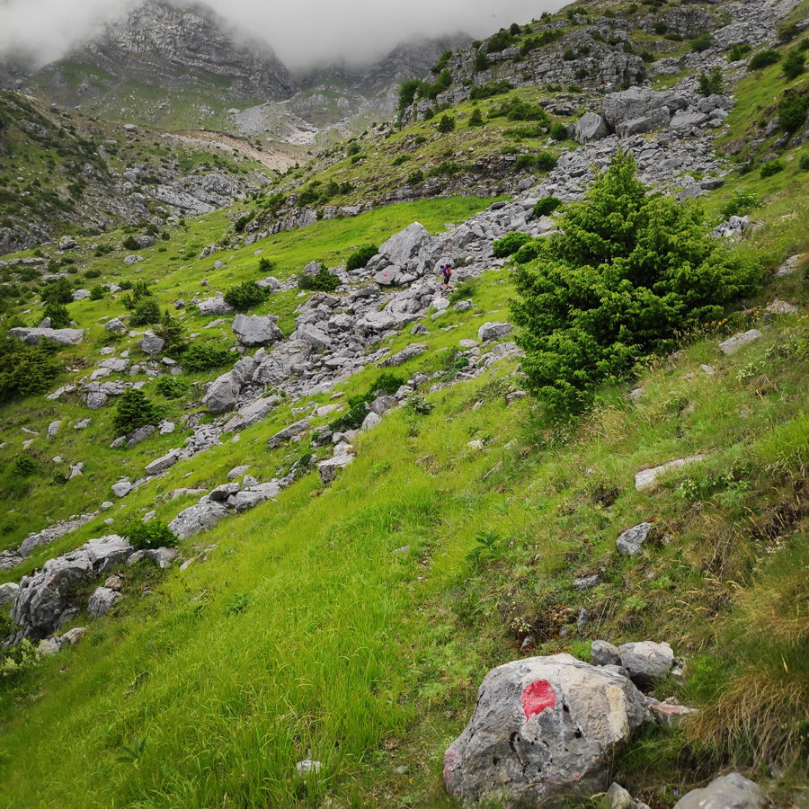
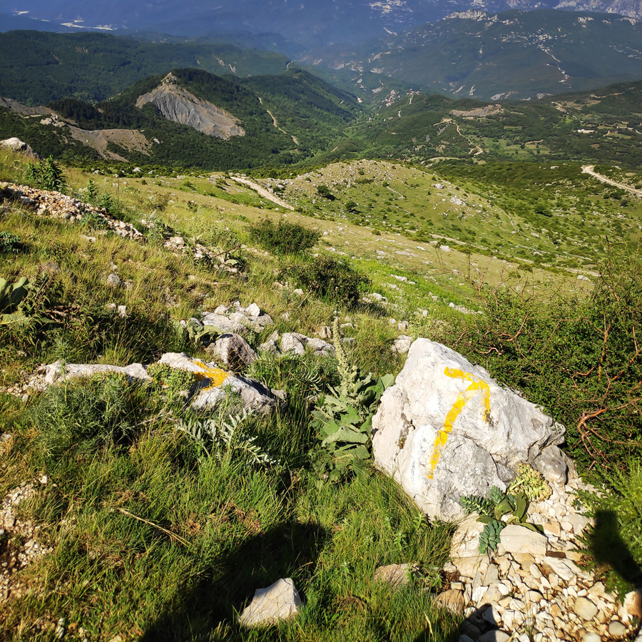
There are a lot of mapped hiking routes at Tzoumerka (Athamanika), with special markings, both for advanced and beginners in hiking.

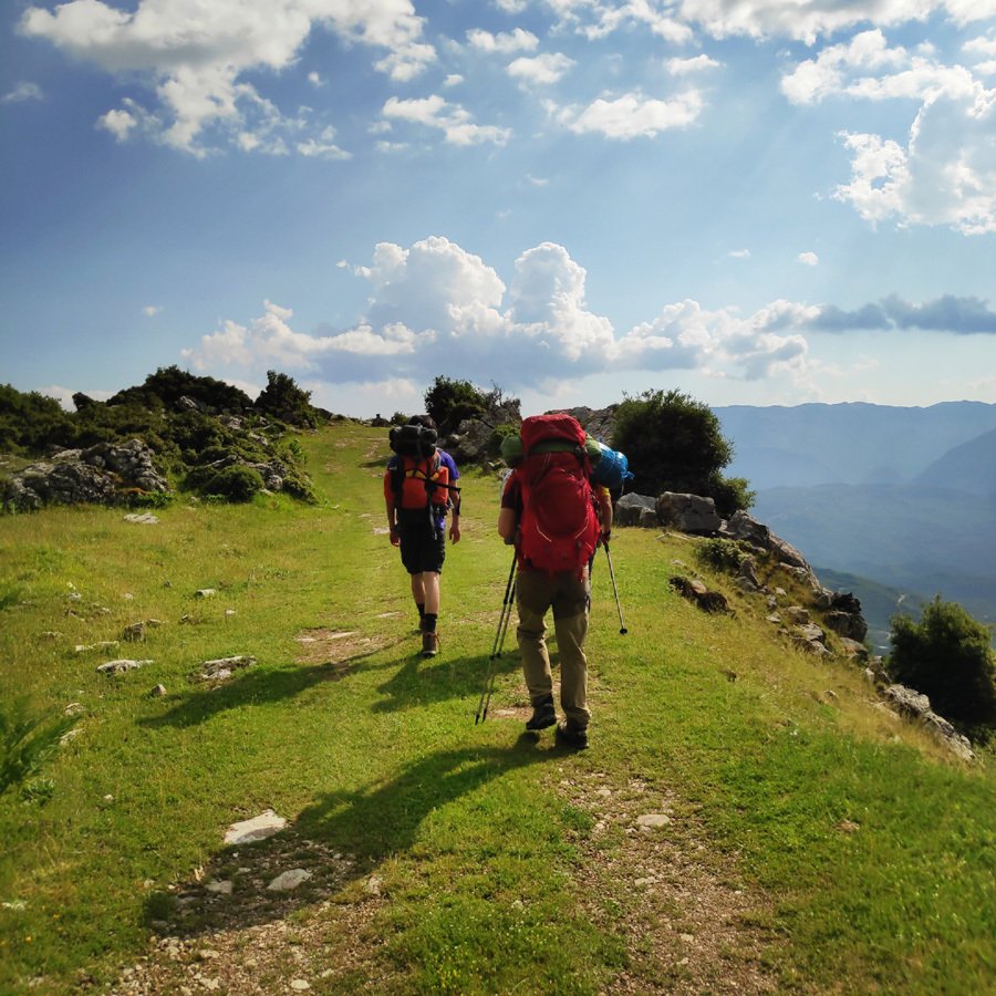
In previous visits in the area, I have tried some medium to difficult grade hiking and winter mountaineering routes, but this time, the mood was just to enjoy the nature with easy hikes. One of these hikes was to start from the twin waterfalls which are located in Kriopigi and via the Katarraktis refuge to end up in Faneromeni.
About Tzoumerka (Athamanika) Mountains
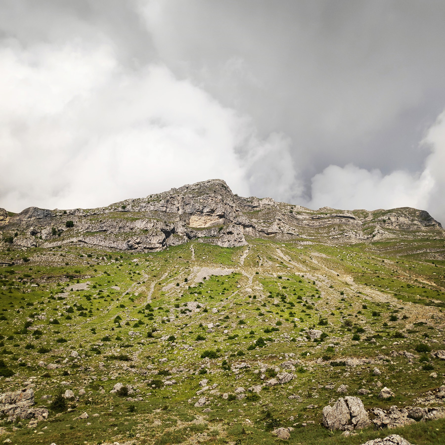
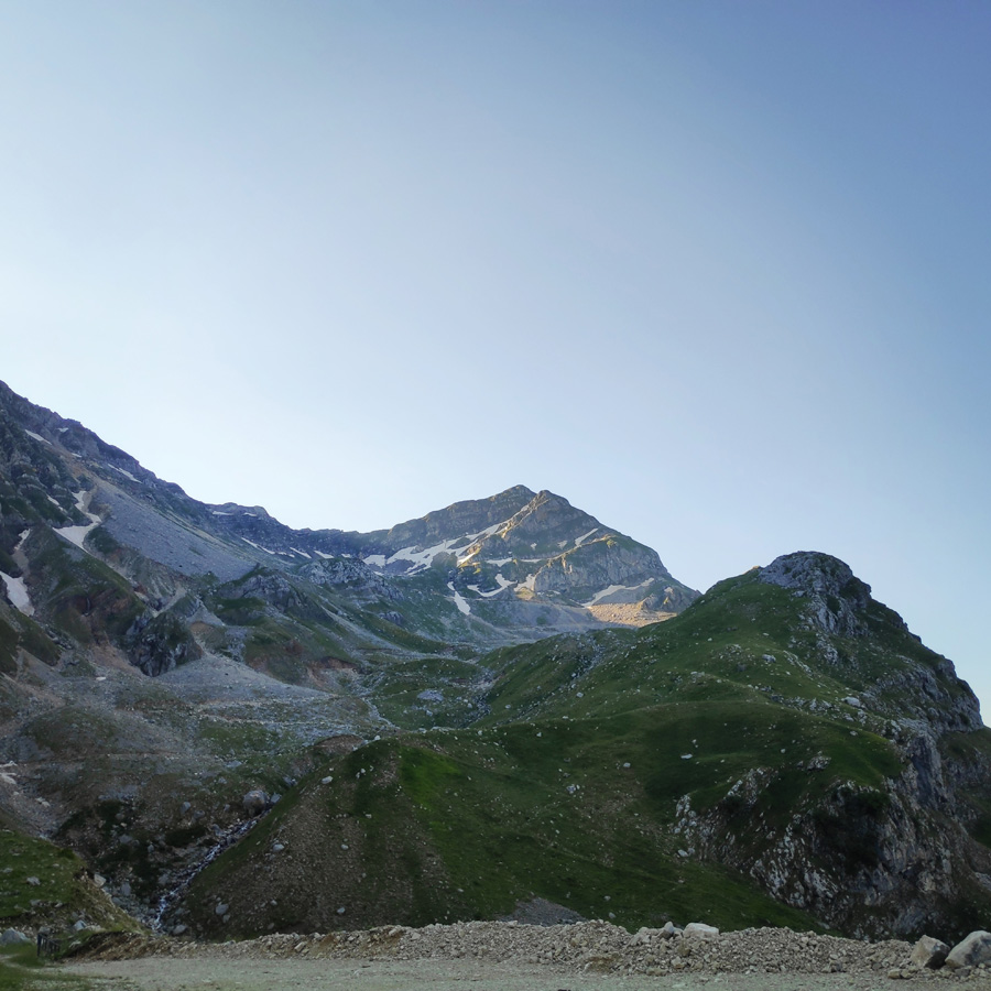
Tzoumerka together with the mountains Kakarditsa and Lakmos are the most important mountains of the region. Its peak, Katafidi, reaches at an altitude of 2393 meters. The steep slopes are its main characteristic that cover the biggest part of the western side. Its eastern side is mild and easier for hiking in winter. Like in the rest of Pindos, in Tzoumerka there are some of the biggest and most rare mammals of Greece.
If you are lucky you might see bears, wolves, elks and other smaller species. The mountain is full of oak and pinon trees while at some points there are cercis siliquastrum, wild cherry trees and plane trees.
See more hiking/mountaineering routes around this area:
- Winter Climb in Strogoula via Agrofylakas Couloir
- Hiking in Tzoumerka – Skala Stamati – Katafidi
- Hiking in Kefalovriso Waterfalls
- Syrrako – Kallarites
Support the journey — buy me a coffee
I share these articles and the climbing guidebooks because I love the outdoors, and they’ll always be free. If they’ve helped you, help me keep them coming. Click the button to support my work.

Athamanika mountains rise in-between the boundaries of the counties of Arta, Ioannina and Trikala. At the West the mountains are bounded by Aracthos river and at the East by Acheloos river. Geomorphologically, the region is divided into 2 sections: the northern section, belongs to Ioannina prefecture and hosts the highest peak (2469 meters) and the southern part belongs mainly to the prefecture of Arta.
Geologically, Athamanika Mountains are consisted mainly of limestones and flysch formations. This alternation of rocks combined with intense rainfall has resulted the development of an extensive groundwater with a presence of springs in many places. The most famous water spring is “Agathi“, near the village of Melisourgoi.
Explore all outdoor activities in a convenient list view here
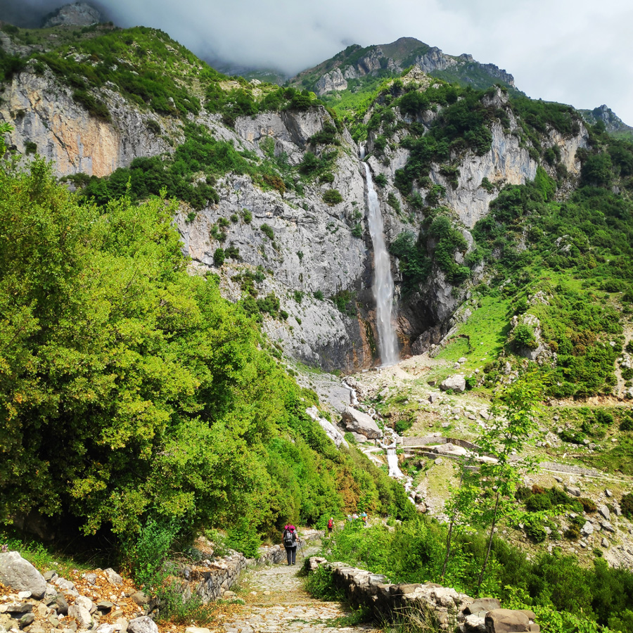
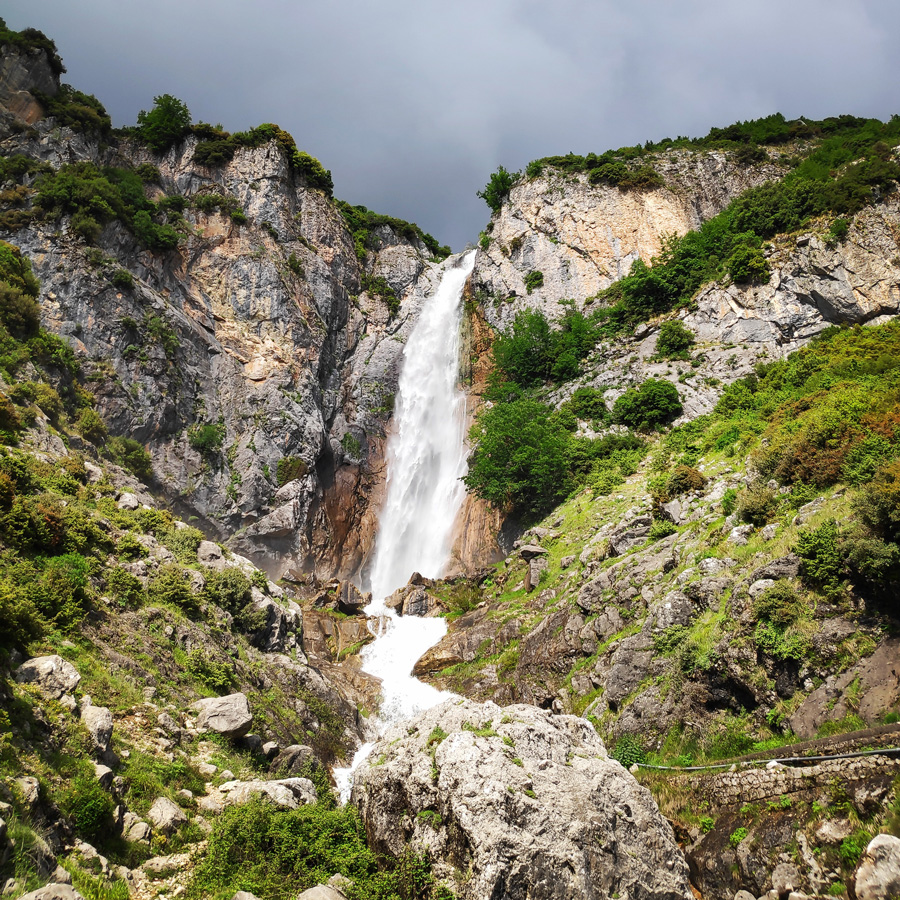
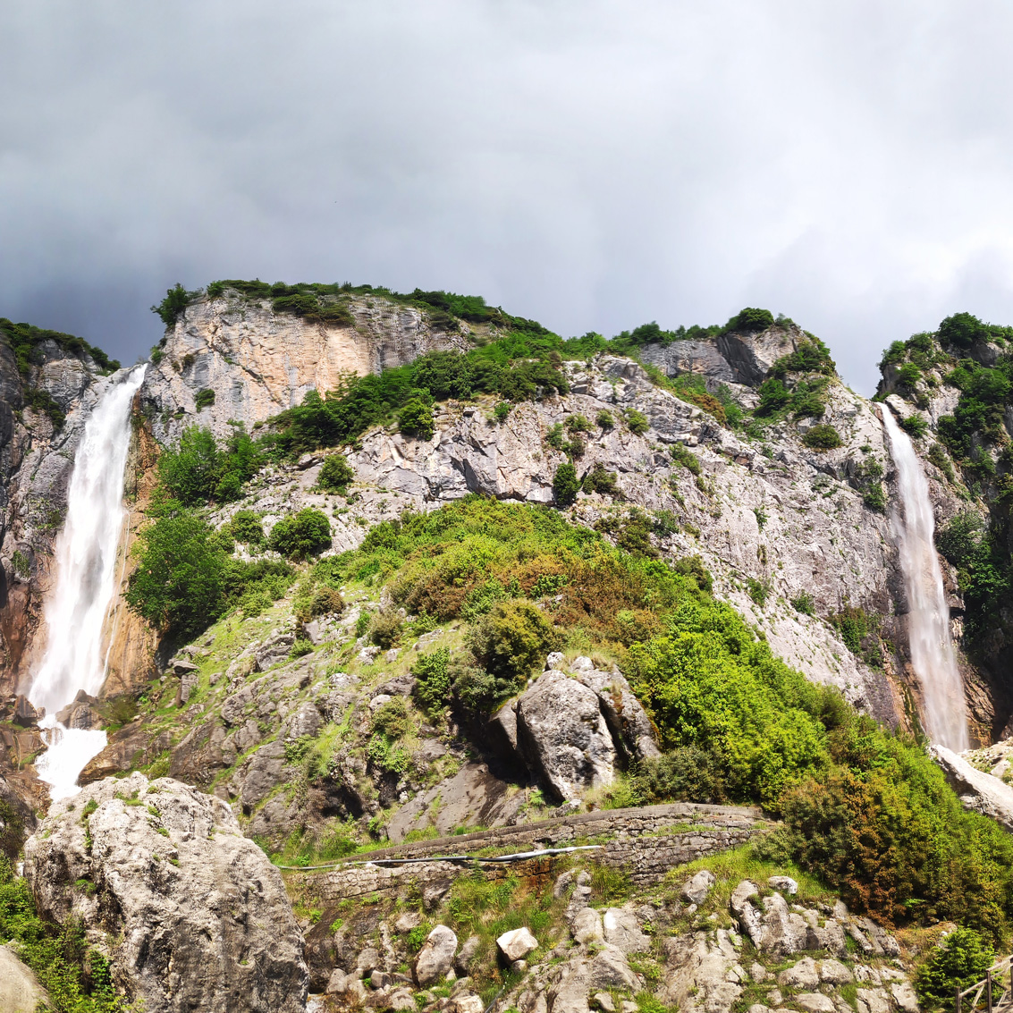
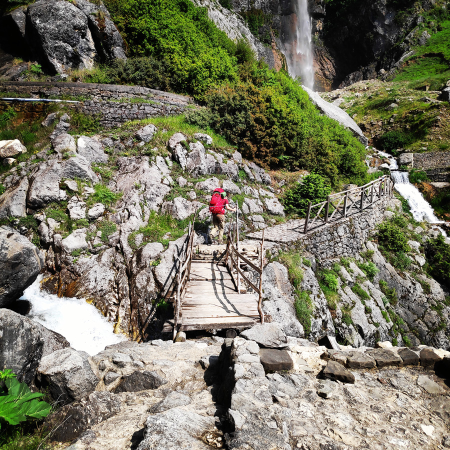
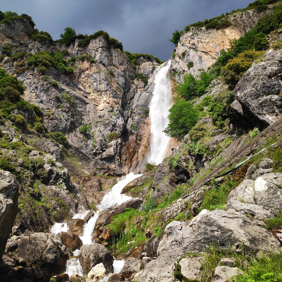
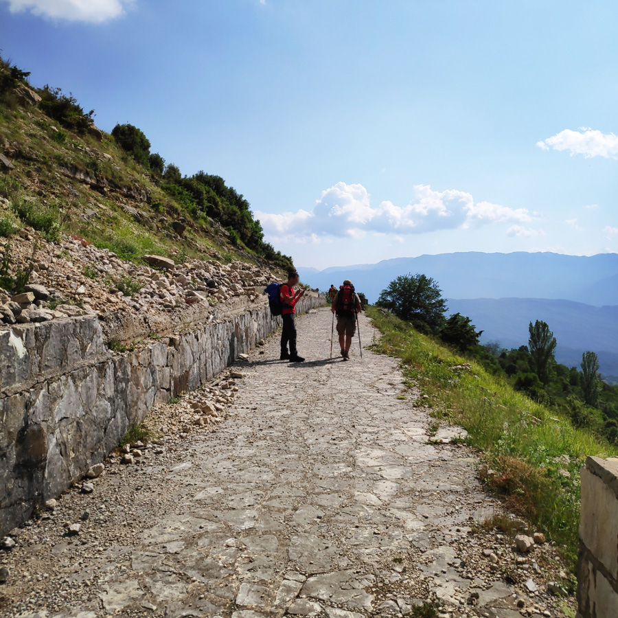
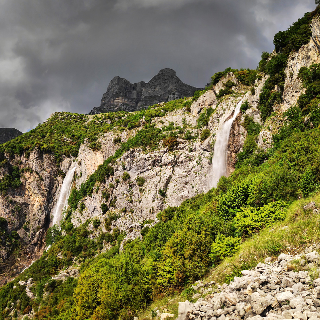
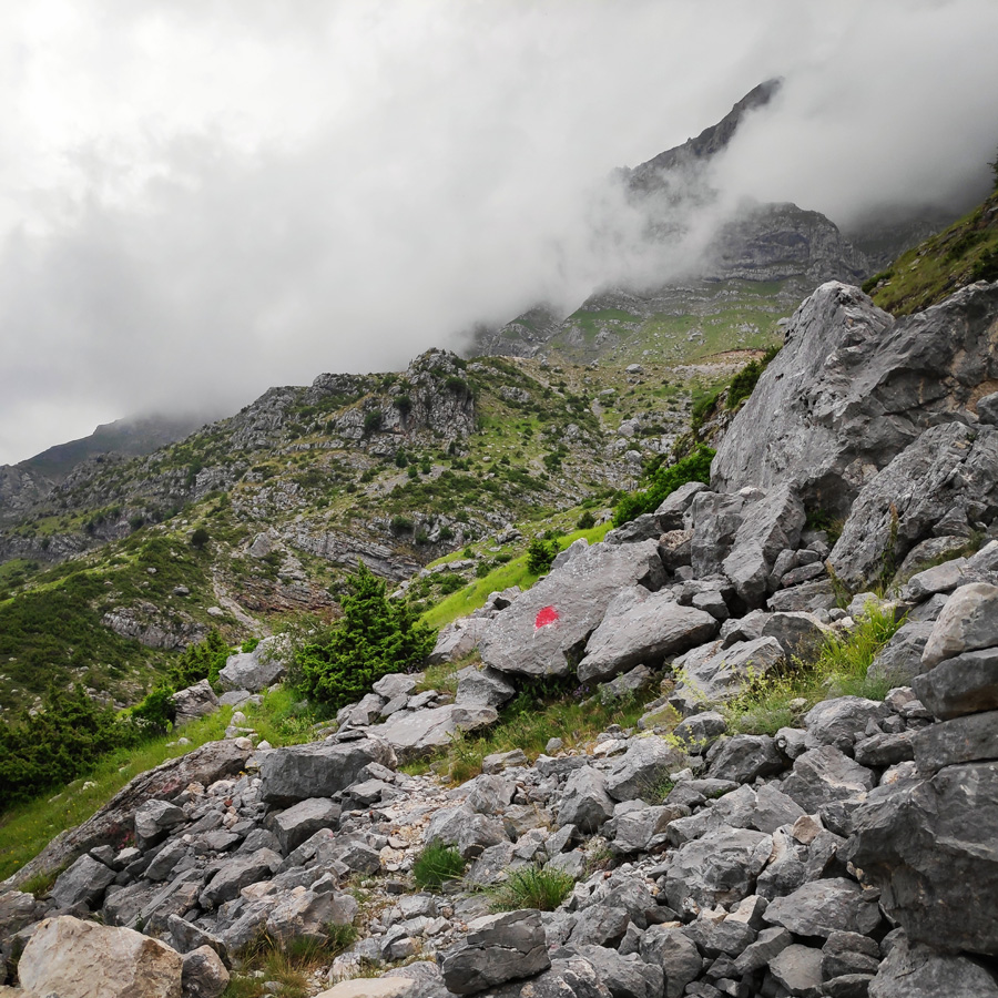
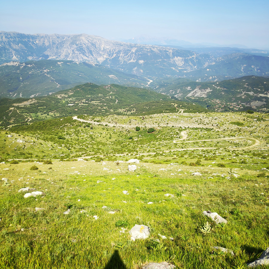
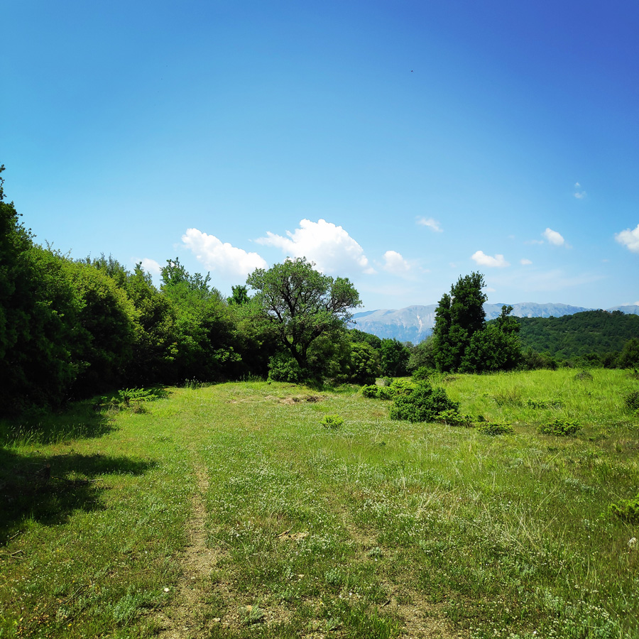
Katarraktis Twin Waterfalls – Aloni
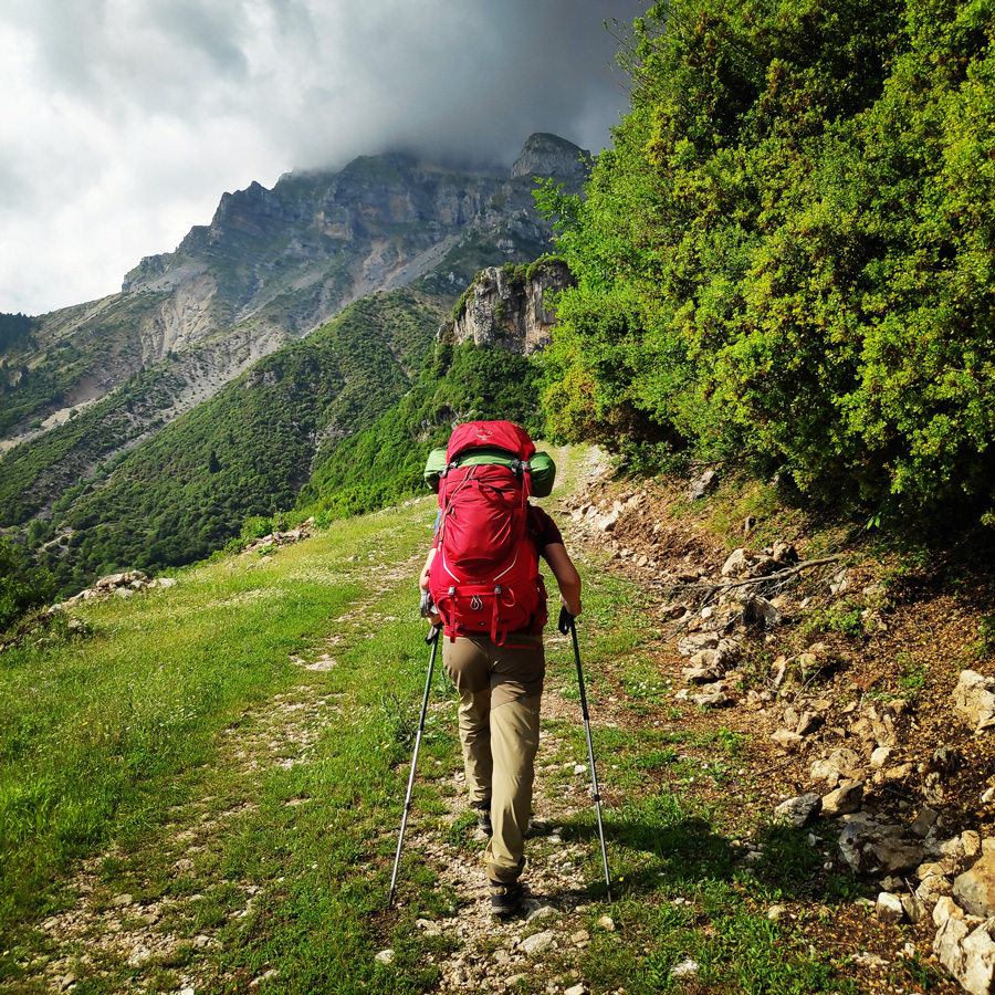
Katarraktis (meaning “waterfall” in Greek) is a village of Epirus in the prefecture of Arta, belongs to the Municipality of Central Tzoumerka. It is built at an altitude of 800 meters in Tzoumerka. It took its present name from the twin waterfalls located just a short distance from the village, near the settlement of Kriopigi.
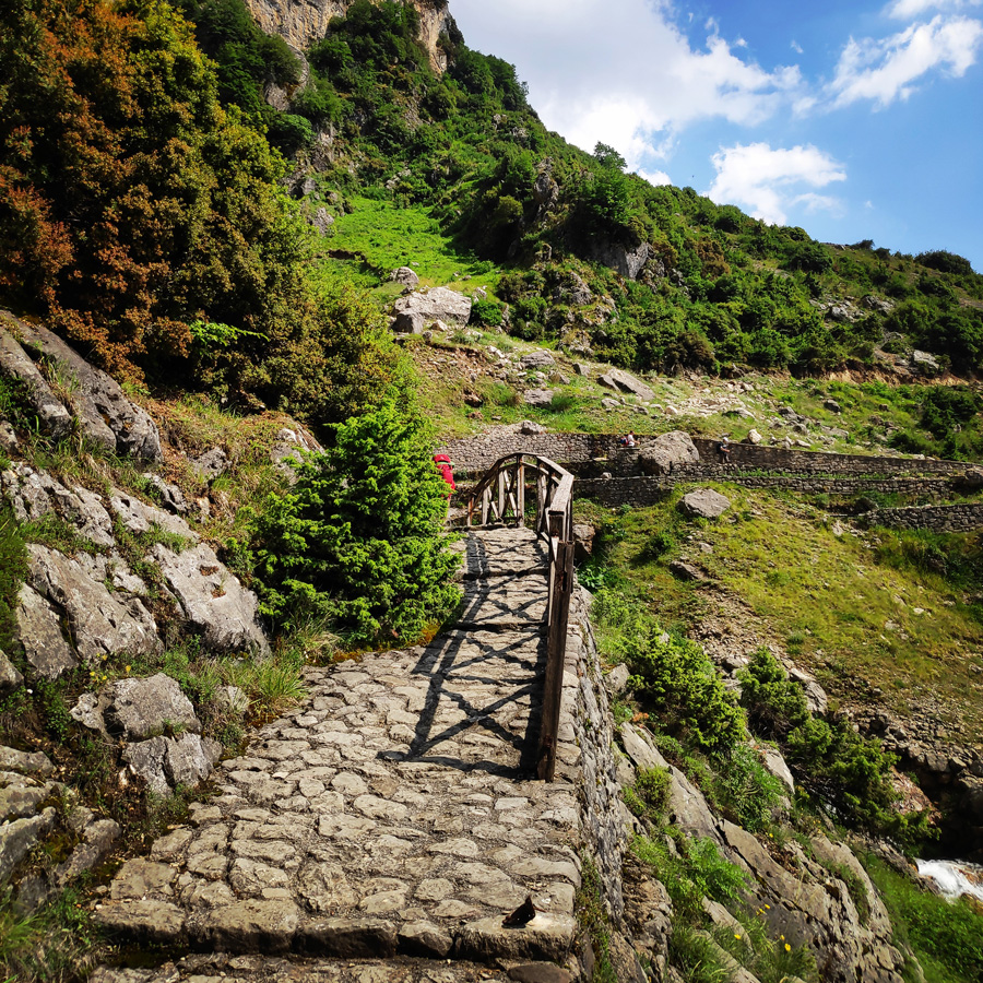
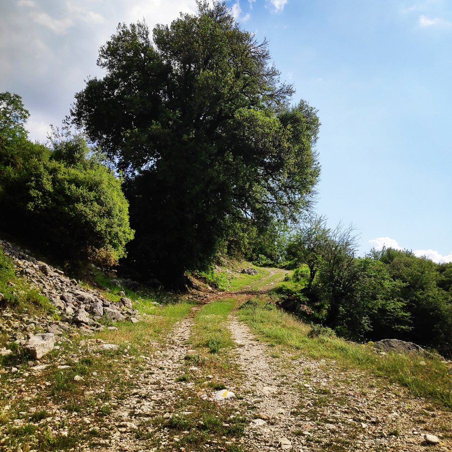
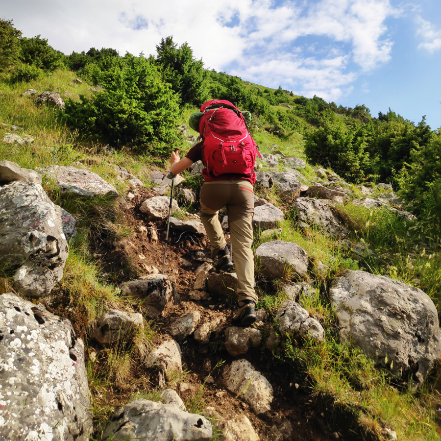
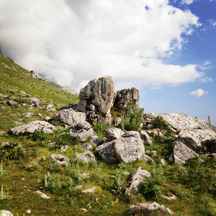
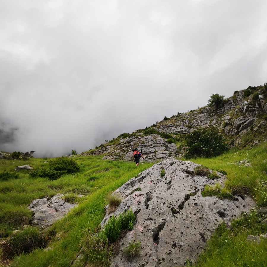
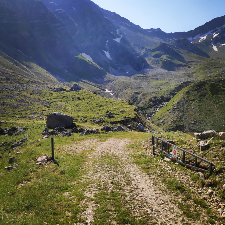
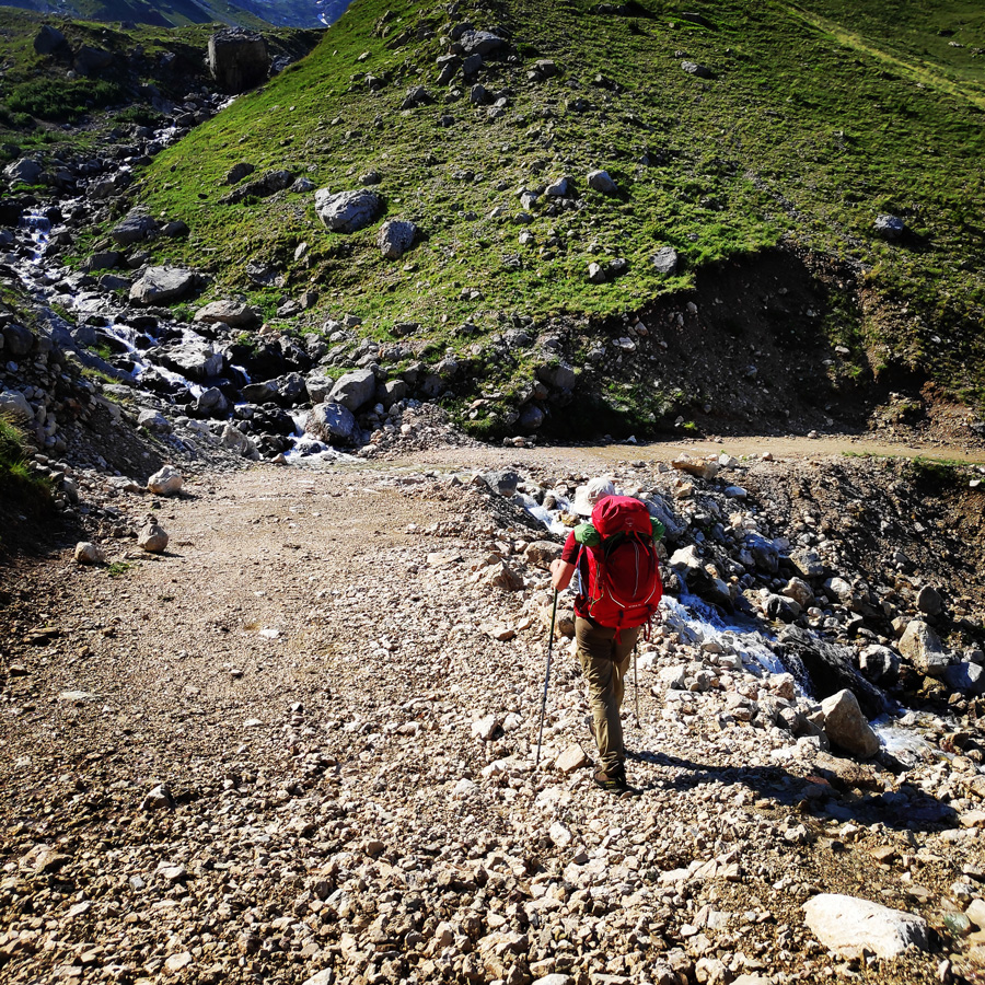
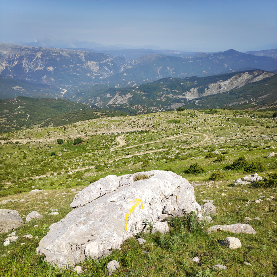
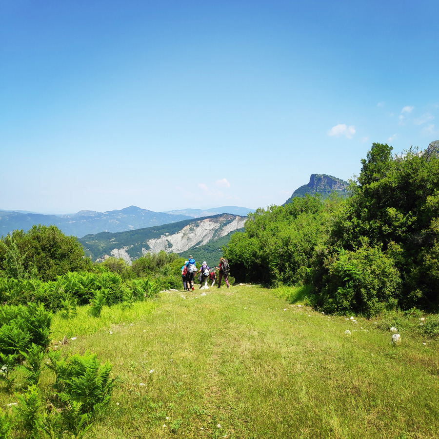
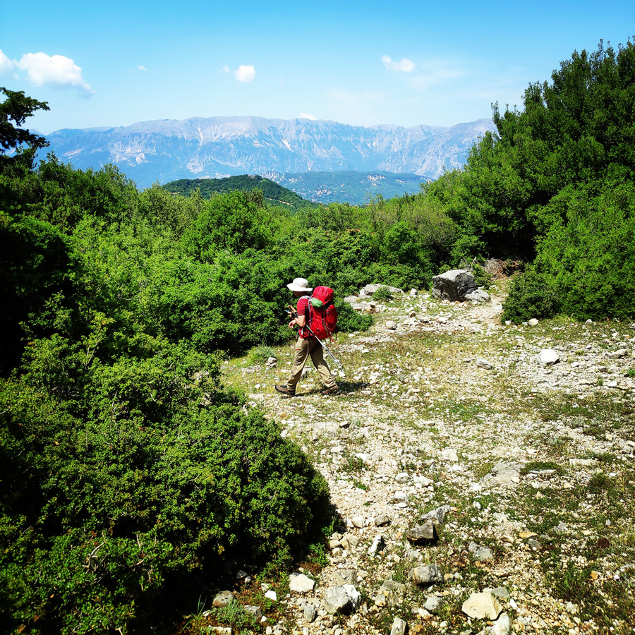
The route starts exactly from the parking spot that is used for the twin waterfalls and the path is moving just bellow the twin waterfalls. The trail towards the Katarraktis mountain refuge is rather easy and half of the path is moving along a dirt road. The altitude difference is about 700 meters, but most of the difference is covered on the last section of the trail, and just bellow the mountain refuge. Our first goal, was to reach a location named Aloni, where there is a mountain hut of a very kind shepherd, Mr. Christos.


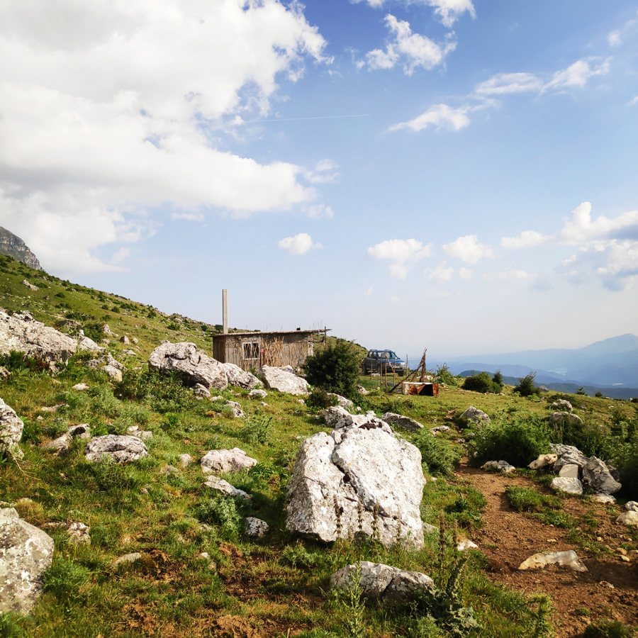
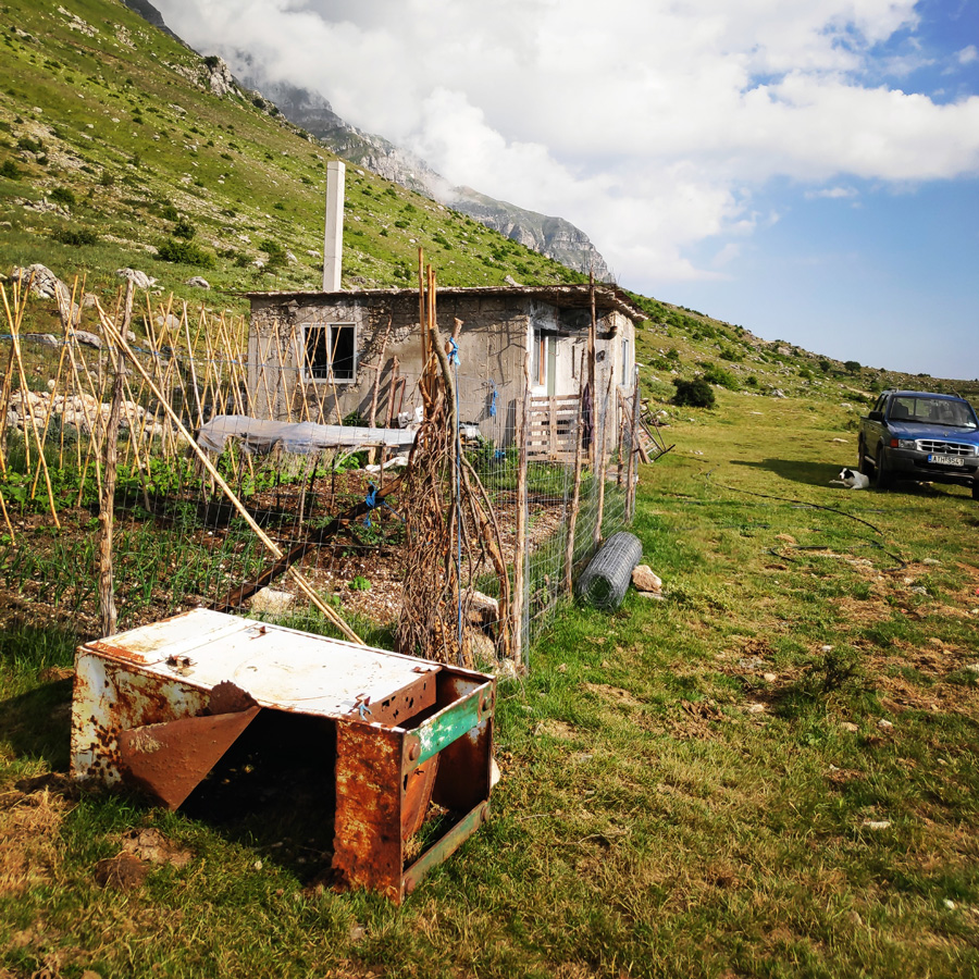
Aloni – Katarraktis Mountain Refuge
As soon we reached Aloni, we had a break in order to wait for the slowest members of the team. At Aloni, there is a mountain hut of a shepherd. Mr. Christos is a very kind man and he spends his time on that mountain hut from May till December. Although this mountain hut is very basic, one, could clearly see that he is enjoying his life on the alpine meadows of Tzoumerka.
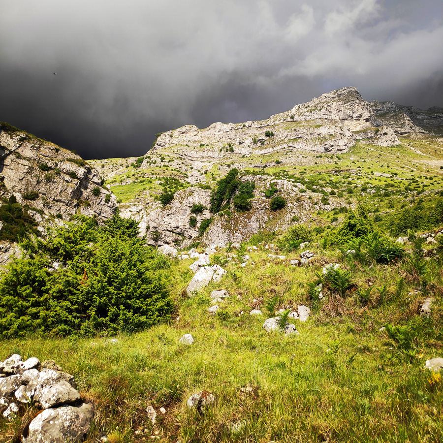
While we were waiting for the rest of the fellow hikers, we could clearly see that weather conditions would deteriorate and the risk of a heavy rainfall was very clear. Thus, the decision was to start again as soon as possible and to follow the steep path that leads straight to Katarraktis mountain refuge.
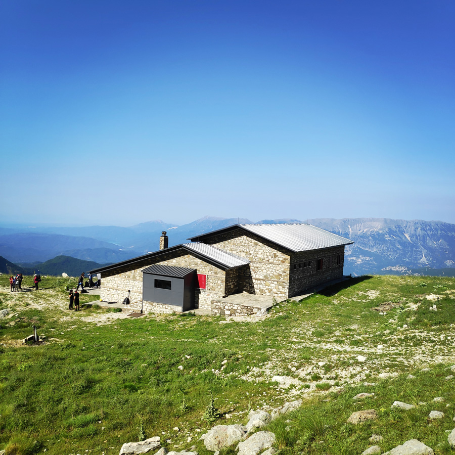
The Katarraktis mountain refuge is fully refurbished and actually, we were the first people that ever stayed on this refuge. The facilities of this refuge are good enough and there is a fully functional kitchen that provides breakfast and dinner.


Check out more FREE Guidebooks
Download now for free! Explore breathtaking landscapes and conquer thrilling heights with our collection of guidebooks and topos.
Don’t miss out on this opportunity to elevate your outdoor adventures. Click, download, and let the exploration begin!
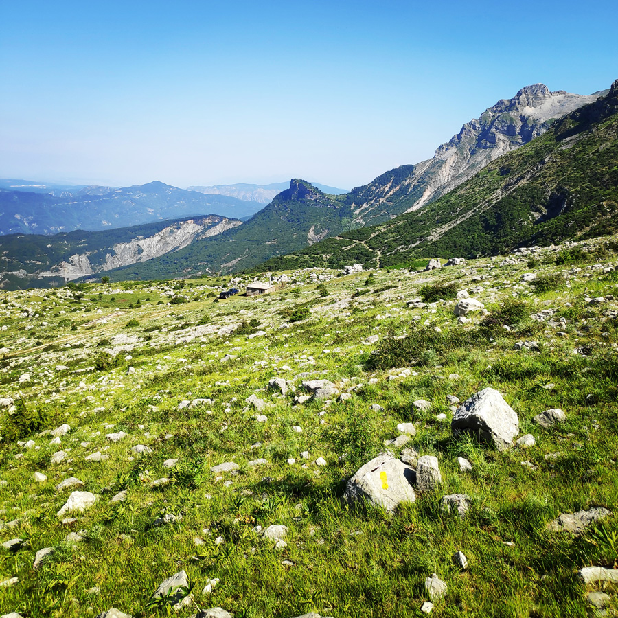
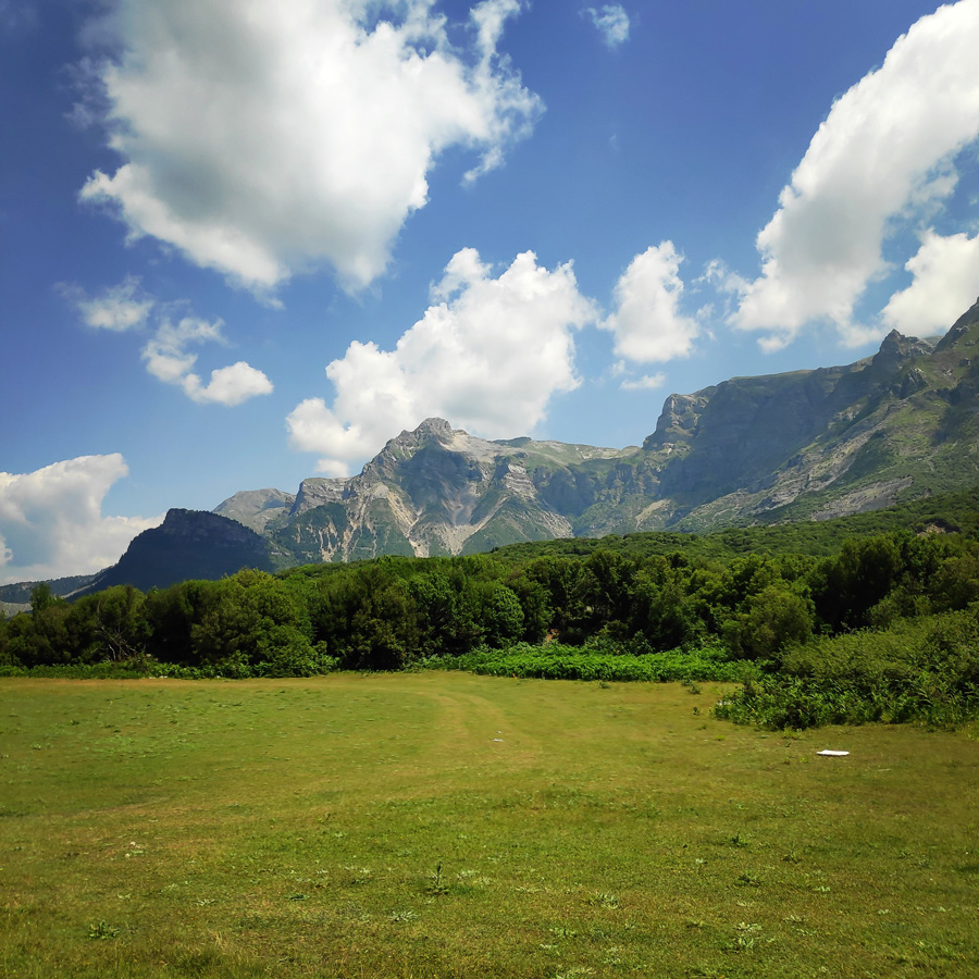
Katarraktis Mountain Refuge – Profitis Elias
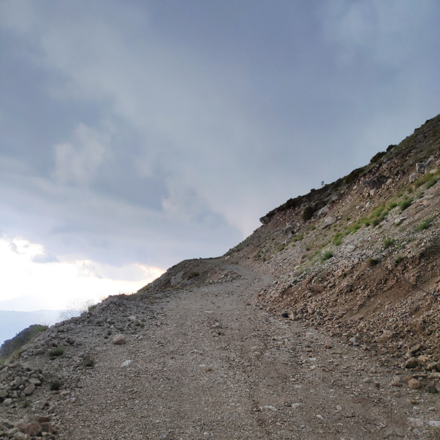
Just before reaching the mountain refuge, there was a sudden heavy rainfall that was followed by a hail storm. The entire team was fully soaked and we spent the night in the mountain refuge of Katarraktis. Our initial plan was to go to Katafidi peak via Skala Stamati, but most of the fellow hikers did not have the energy and dry footwear to continue on such adventure.
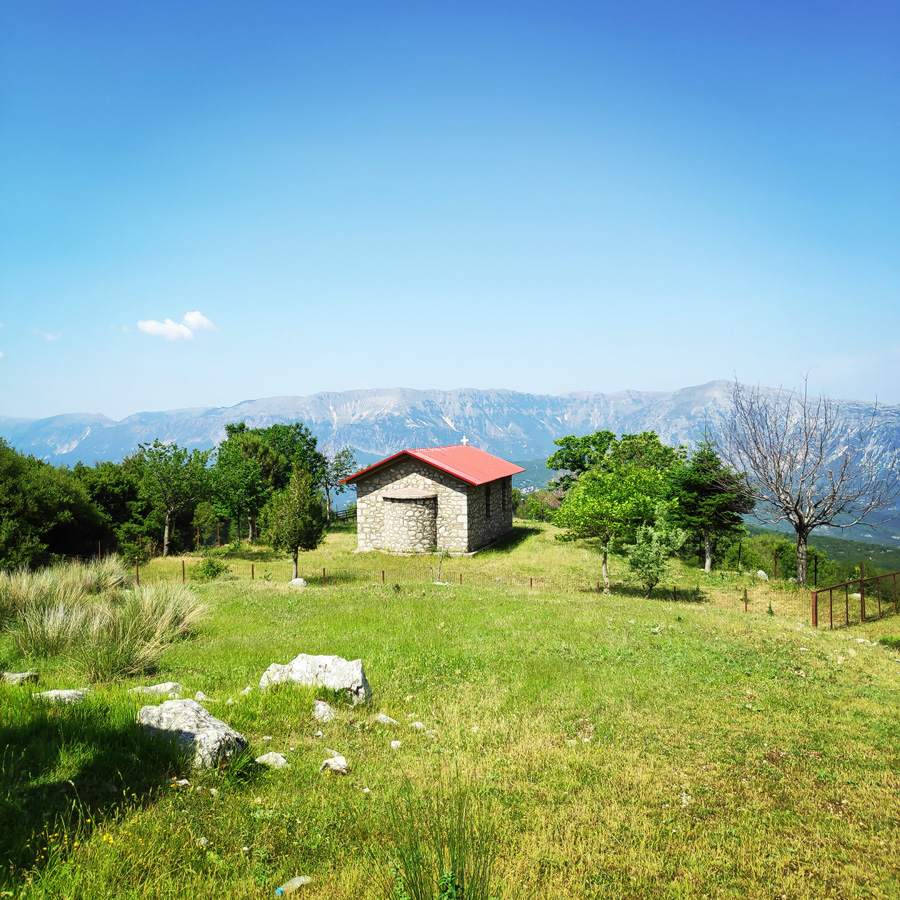
Therefore, the day after, we followed the trail that leads back to Katarraktis village, and specifically in Faneromeni. We have done this via a Profitis Elias chapel.

Support the journey — buy me a coffee
I share these articles and the climbing guidebooks because I love the outdoors, and they’ll always be free. If they’ve helped you, help me keep them coming. Click the button to support my work.
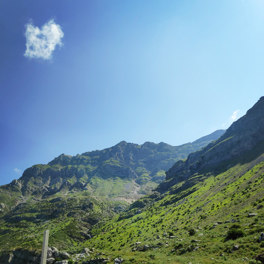
Profitis Elias – Faneromeni
Gear & Equipment
For this trip, I was carrying the following main gear:
- Lowe Alpine Cholatse II 55-65 lt backpack
- Sierra Designs Lightning Tent
- Cumulus Panyam 600 Hydrophobic Down sleeping bag
- Klymit Stativ V Ultralight sleeping pad
- Garmin Dakota 20 GPS device
- Cumulus Minilite Down vest
- Quechua Tech-Fresh 50 T-shirt
- Cumulus Incredilite Endurance jacket
- Kalenji Kiprun XT7 Trail running shoes
- Rab Spark Waterproof Jacket
Subscribe & Stay Informed
Enter your email address to follow this blog and receive notifications of new posts by email
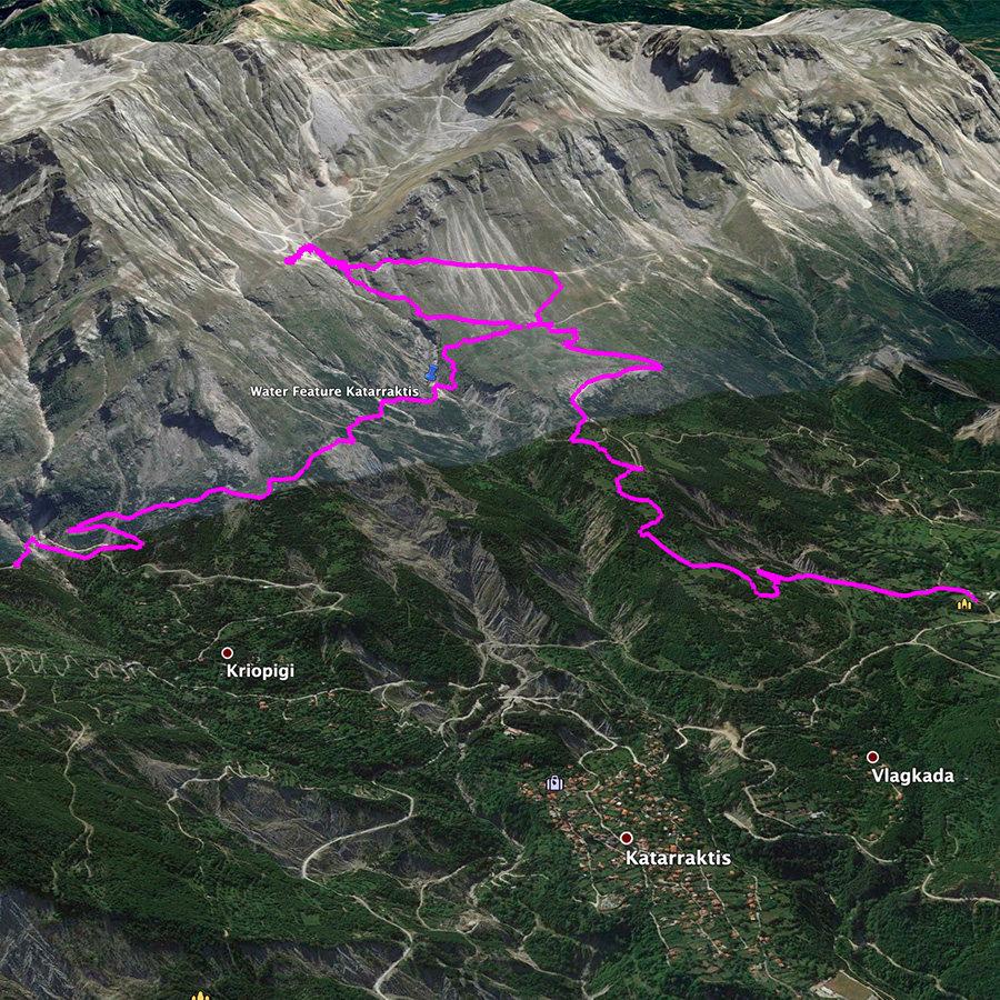
Details of the Hike:
- Location: Athamanika (Tzoumerka) Mountains
- Starting Point: Katarraktis Waterfalls (Kriopigi)
- Ending Point: Faneromeni (via Katarraktis Refuge)
- Trail Signs: Signed path
- Minimum Elevation: 937 m
- Maximum Elevation: 1.631 m.
- Total Distance: 11.7 km
- Difficulty: Easy
- When to Hike: All year
- Water Features: Yes
Bellow you can see the route we have followed on a map and 3D:
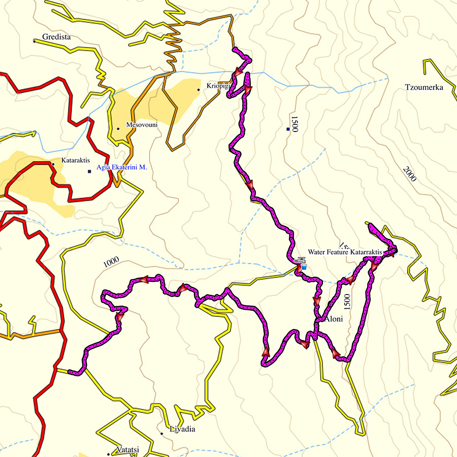
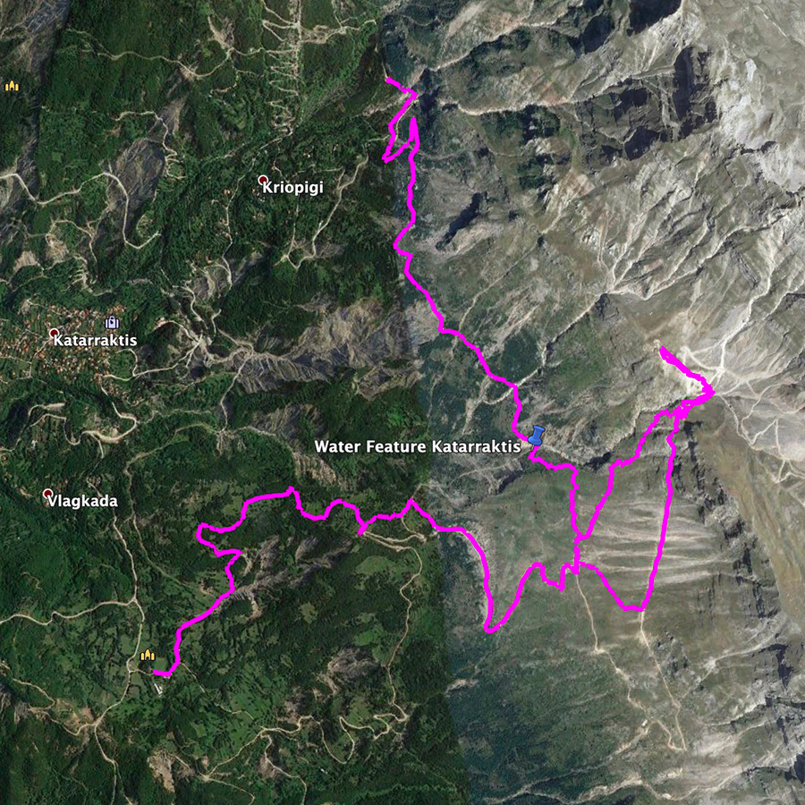
Check this map before you leave this blog
Below: This map marks all the mountaineering adventures that have been featured on Olympus Mountaineering so far, including several Sport climbing crags – Select full screen to expand, zoom in for more detail, or click on a marker for a link to the post.

Wow, beautiful waterfalls! I especially love the twin ones.
LikeLike
Thank you for the comment Diana.
The twin waterfalls were the highlight of the entire hike.
LikeLiked by 1 person
I continue to be amazed at the incredible trails you hike. The scenery looks stunning and well worth the effort.
LikeLike
Thank you for your comment and really happy to know you like this post too.
LikeLiked by 1 person
Oh my goodness! These falls are so beautiful! Are they best in the spring, or do they run full on all year long? I love the trail too. Nice mix of wild walking and built up sections.
Keep up the good work. You’ll get me to Greece sooner rather than later 🙂
LikeLike
Thank you for your comment Alisen.
These waterfalls are mainly running during spring and early summer time and then from late autumn.
Should you be able to travel to Greece, you will be more than welcomed and if you will need any info, feel free to ask over here.
LikeLiked by 1 person
Pingback: Hiking in Tzoumerka (Athamanika) – Pramanta Refuge – Kefalovriso Waterfall – Melissourgoi Refuge – Olympus Mountaineering
Pingback: Hiking in Kouiassa Waterfall and Kipinas Monastery – Olympus Mountaineering
Pingback: Winter Mountaineering Climb in Strogoula – Tzoumerka (Athamanika) – Olympus Mountaineering
Pingback: Hiking in Tzoumerka (Athamanika) Theodoriana – Marks Stream – Rema Marks – (family friendly) – Olympus Mountaineering
Pingback: Souda Twin Waterfalls – Theodoriana – Hiking in Tzoumerka (family friendly) – Olympus Mountaineering
Pingback: Hiking in Tzoumerka (Athamanika) – Pramanta Refuge – Kefalovriso Waterfall – Melissourgoi Refuge – Pramanta Refuge (family friendly) – Olympus Mountaineering
Pingback: Hiking in Tzoumerka (Athamanika) – Melissourgoi – Kryoneri Waterfall – Melissourgoi (family friendly) – Olympus Mountaineering
Pingback: Hiking in Captain’s Baths (Λουτρά Καπετάνιου) – Vourgareli – South Tzoumerka (family friendly) – Olympus Mountaineering
This is awesome! I will be doing this trail as a day hike when I go, thank you so much!
LikeLike
Thank you for your comment.
Enjoy the trail and feel free to let me know if you enjoyed it.
LikeLike