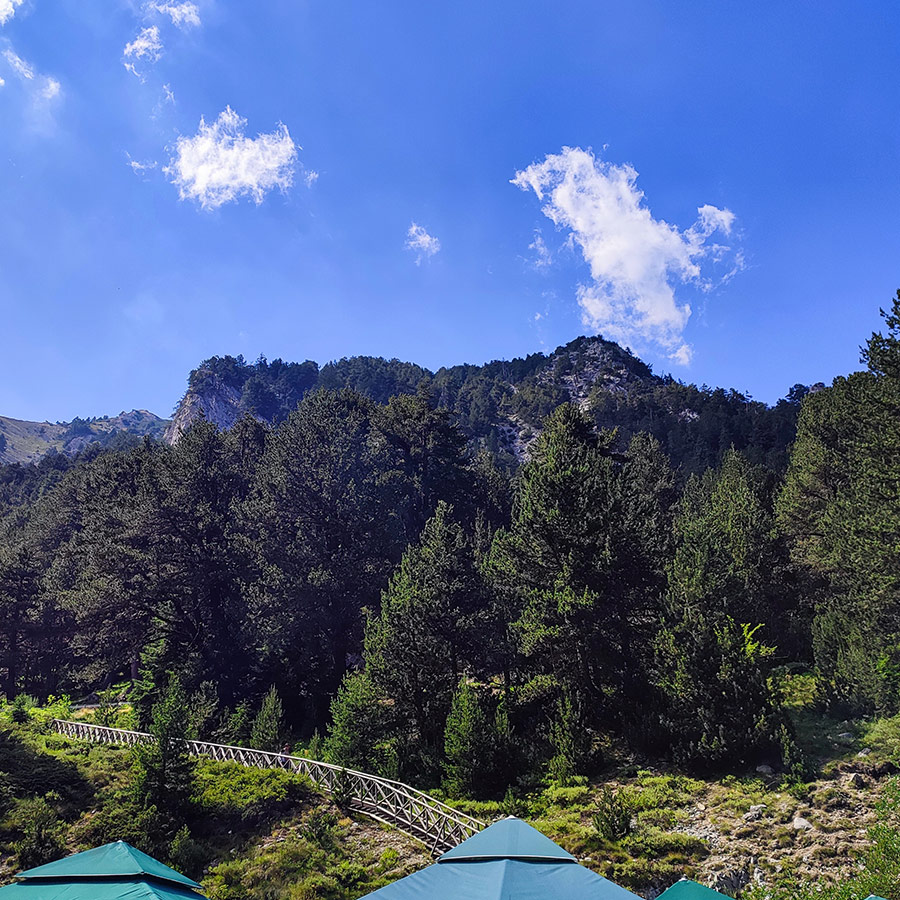
Having explored the wild beauty of the Agrafa Mountains several times before, I’ve come to appreciate this remote and rugged corner of Greece for its untouched charm. From hiking to Plastira Lake, exploring the mountain peaks of Svoni, Pouli, Papadimitri, Voutsikaki, Five Towers, every route in Agrafa has left me with a sense of awe.
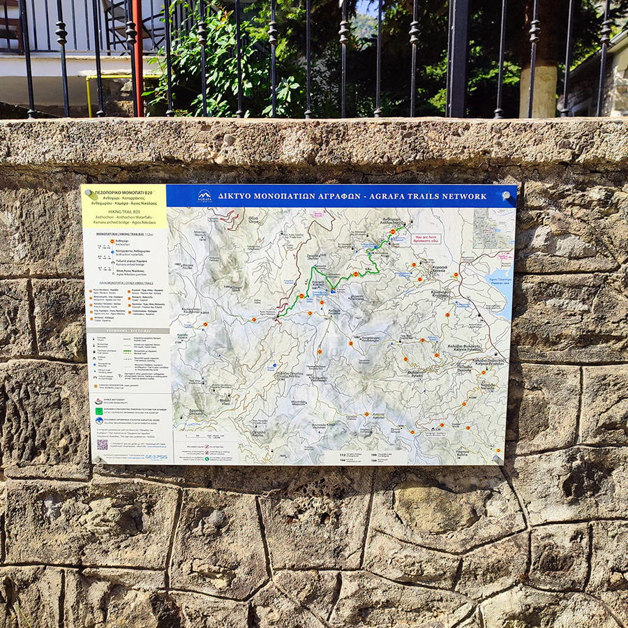
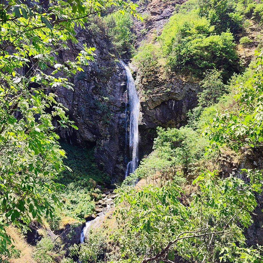
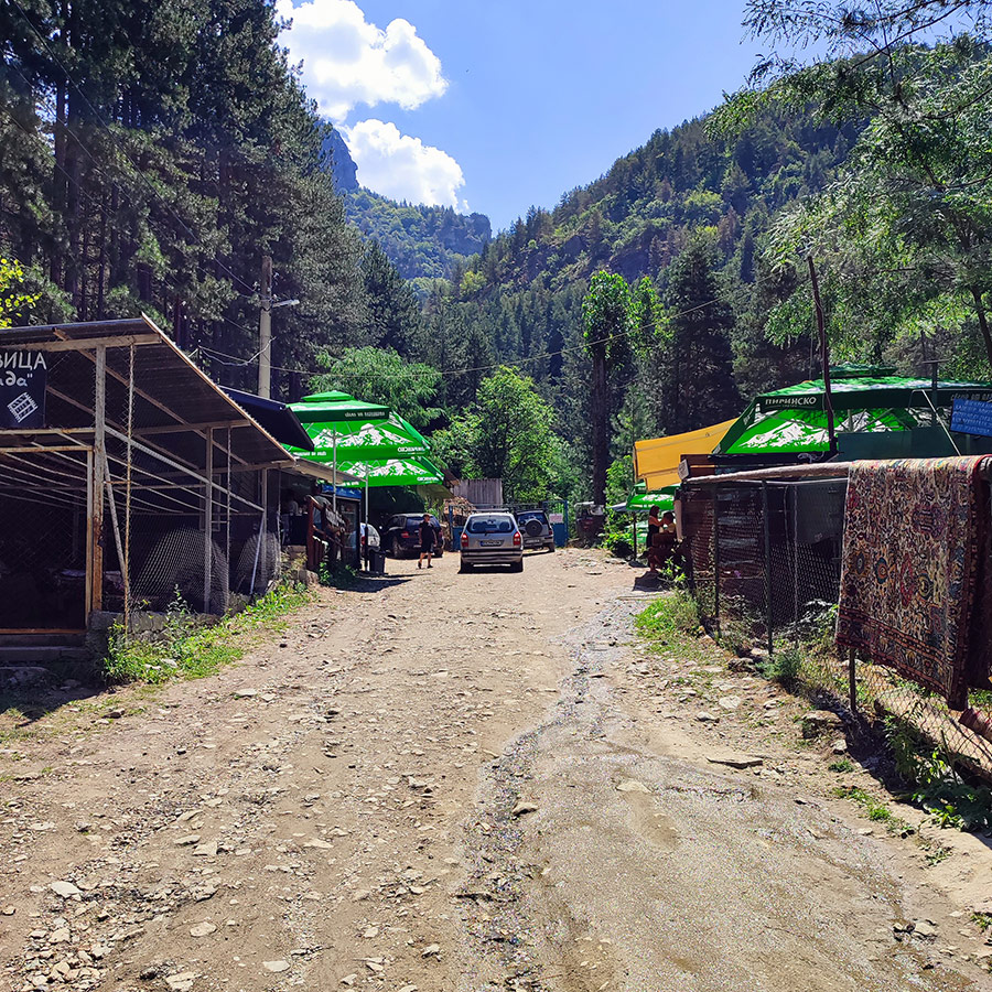
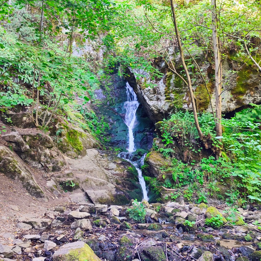
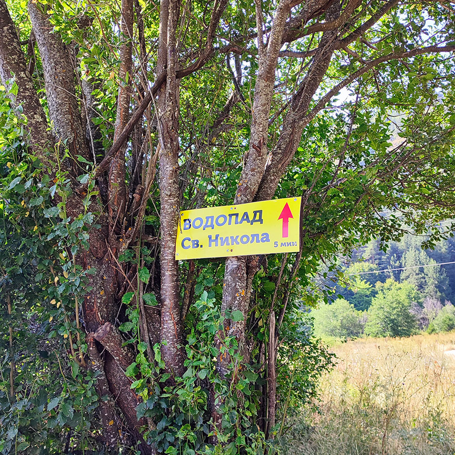
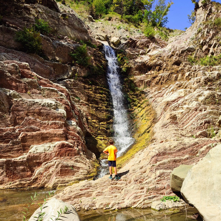
This time, I returned to Agrafa to visit a place that perfectly combines accessibility with natural beauty: the Anthochori Waterfall, located just outside Anthochori village in Karditsa. Unlike the more demanding routes in Agrafa , this short hike is family-friendly and ideal for anyone who wants to immerse themselves in the region’s nature without venturing too deep into the wilderness.
▶ Listen to this Post Now