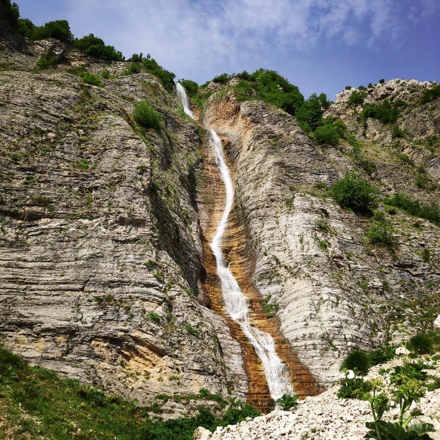
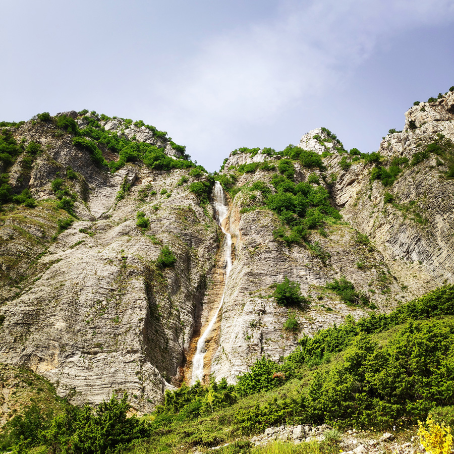
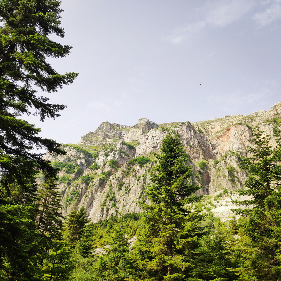
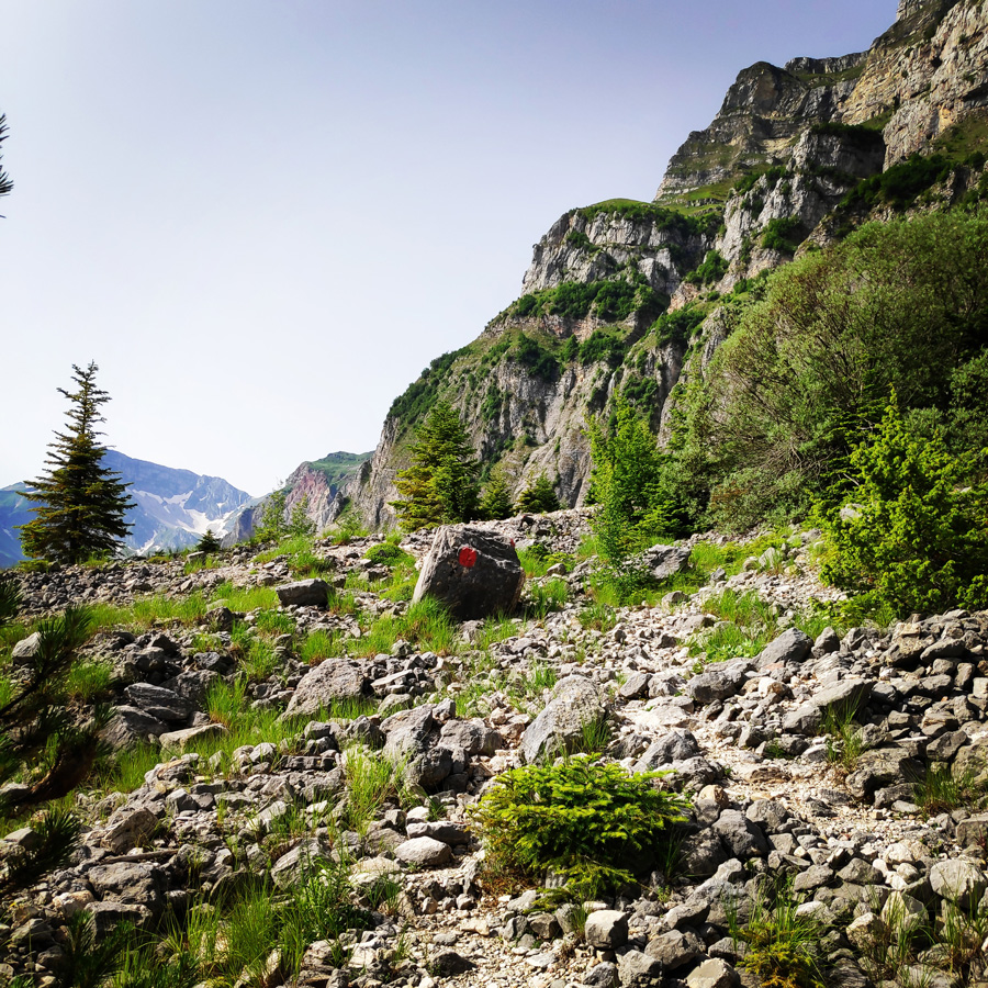
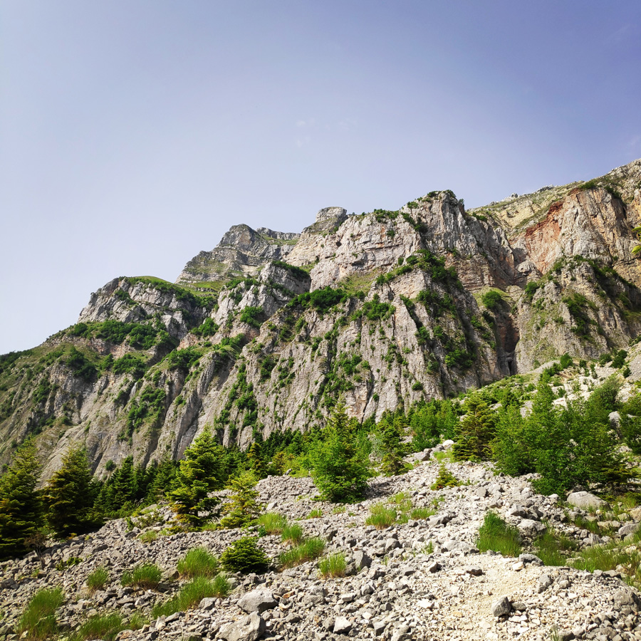
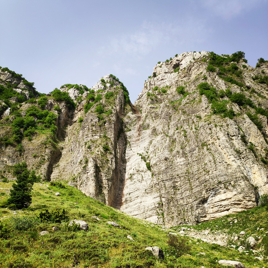
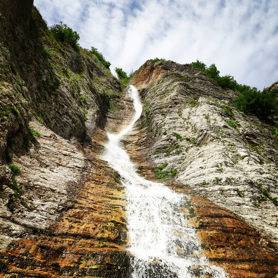
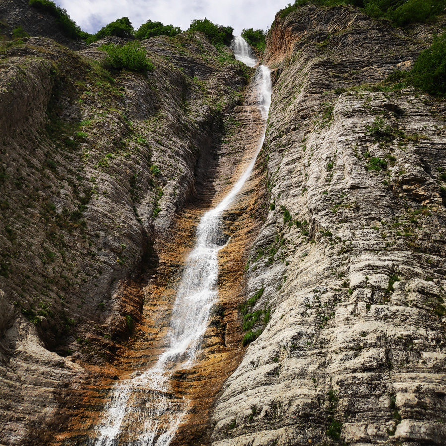
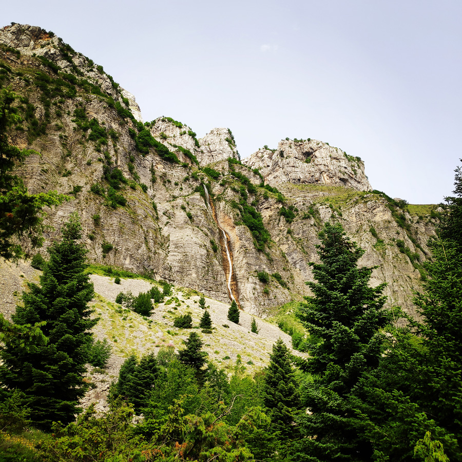
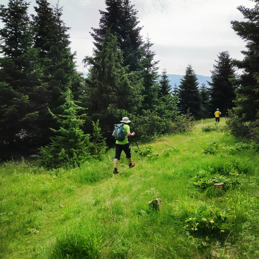
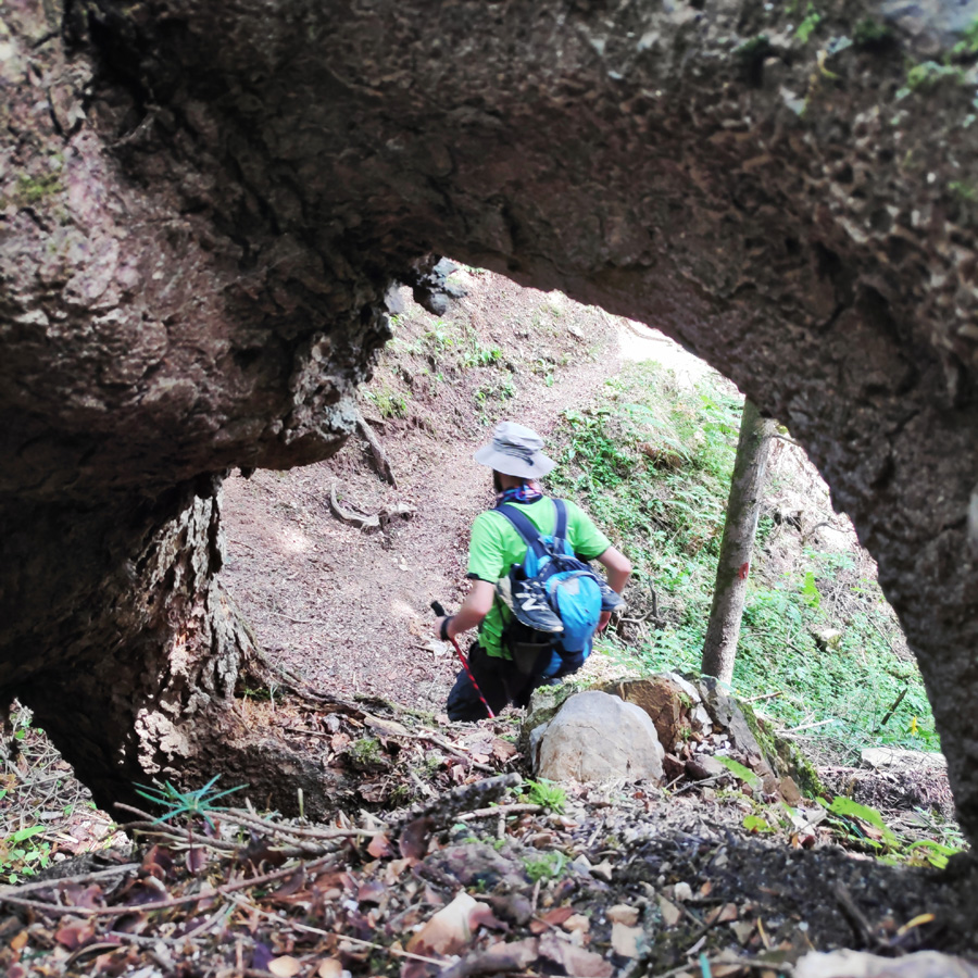
There are a lot of mapped hiking routes at Tzoumerka, with special markings, both for advanced and beginners in hiking. A very easy hike is the one that starts from the Pramanta Mountain Refuge till Kefalovriso Waterfall. The waterfall of Kefalovriso, the highest of Greece (350 m.)
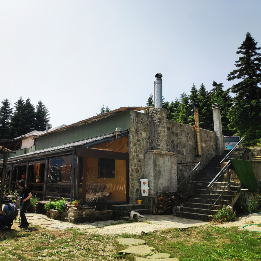
About Pramanta Mountain Refuge
The Pramanta Mountain Refuge restarted its operation on 28 October 2006 under new administration! Babis and Pola, together with their two wonderful and kind kids, provided us excellent service and great company during our stay there.
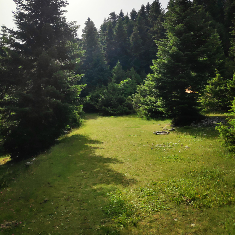
There are two 8-bed rooms and one 10-bed room, totalling 26 beds, a fully functional kitchen, dining tables, a living room and a fireplace. It operates round the year, every day, should no emergencies occur (we’re humans!). The whole “Isioma” plateau is there for games, camping, football, excursions even a little theatre! (mountain theatre).
See more hiking/mountaineering routes around this area:
- Hiking in Tzoumerka (Athamanika) – Katarraktis Waterfalls – Katarraktis Refuge – Faneromeni
- Winter Climb in Strogoula via Agrofylakas Couloir
- Hiking in Tzoumerka – Skala Stamati – Katafidi
- Hiking in Kefalovriso Waterfalls
- Syrrako – Kallarites
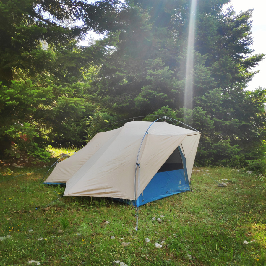
Last summer (2020), Babis and Pola, updated the refuge with even more services and even a small swimming pool. Furthermore, there is plenty of space round the refuge for some wild comping and the location is really ideal.


Support the journey — buy me a coffee
I share these articles and the climbing guidebooks because I love the outdoors, and they’ll always be free. If they’ve helped you, help me keep them coming. Click the button to support my work.

Pramanta Mountain Refuge – Waterfall
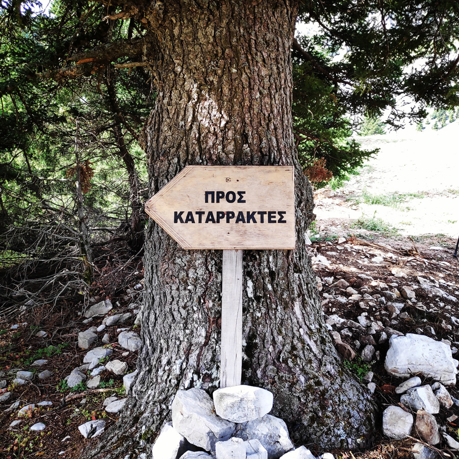
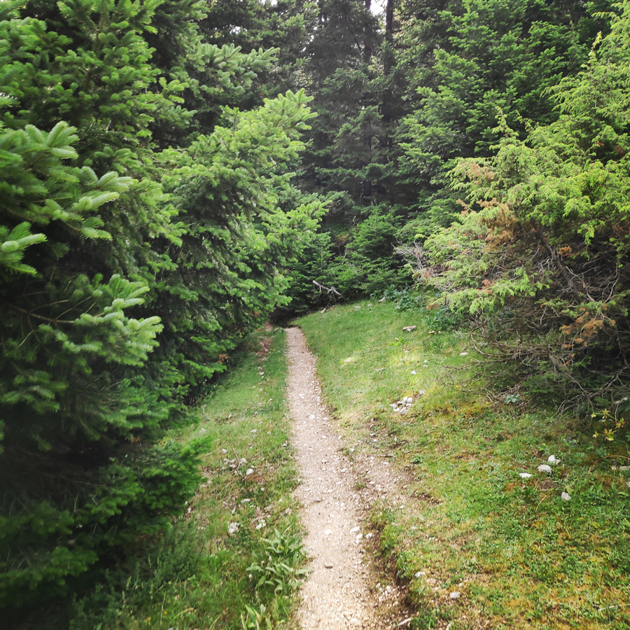
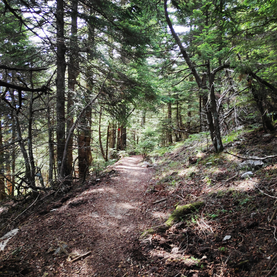
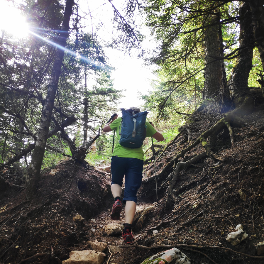
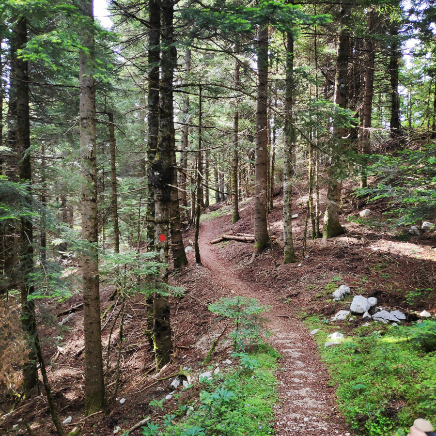
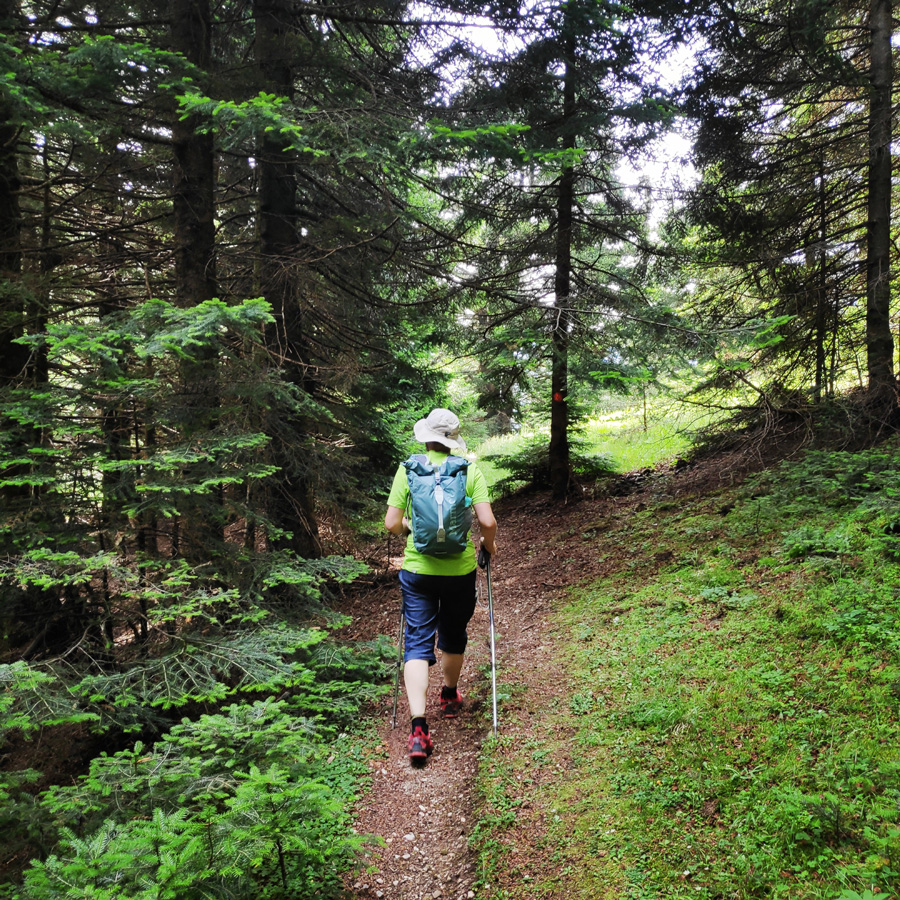
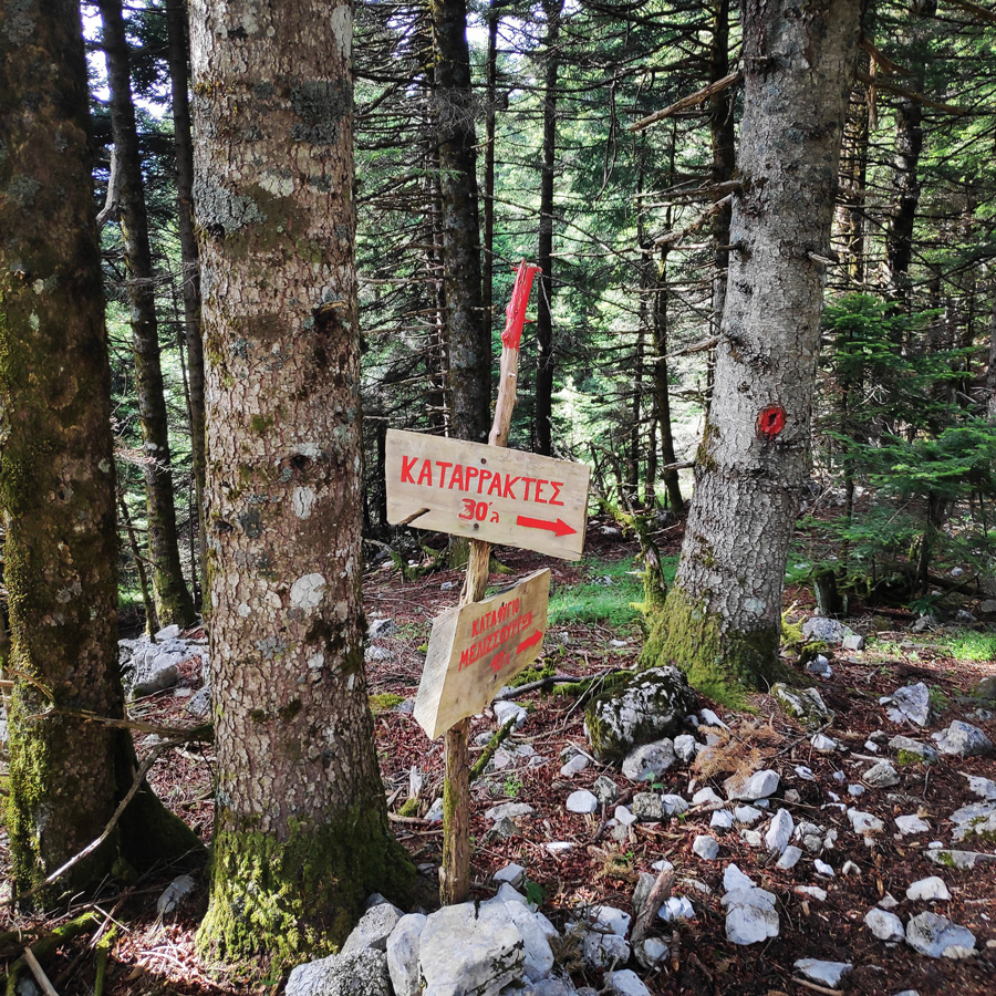
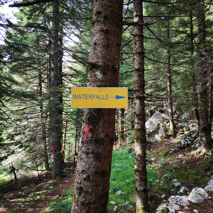
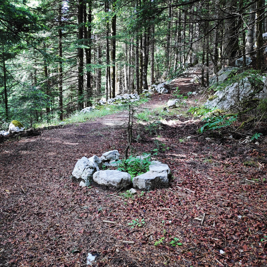
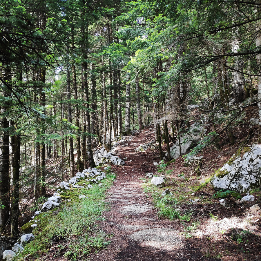
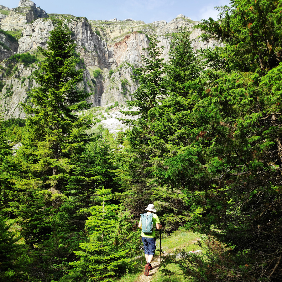
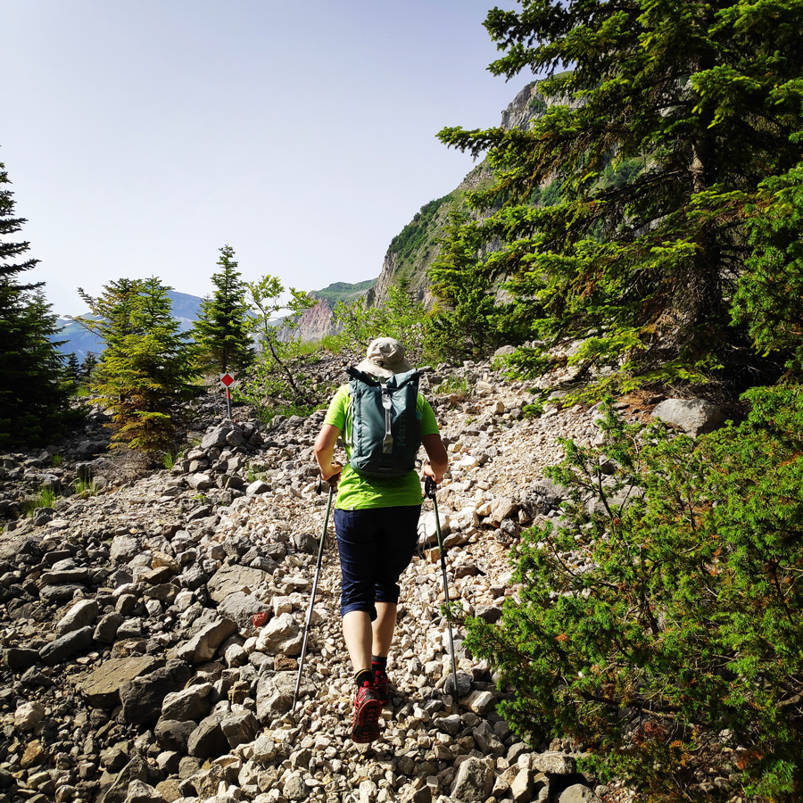
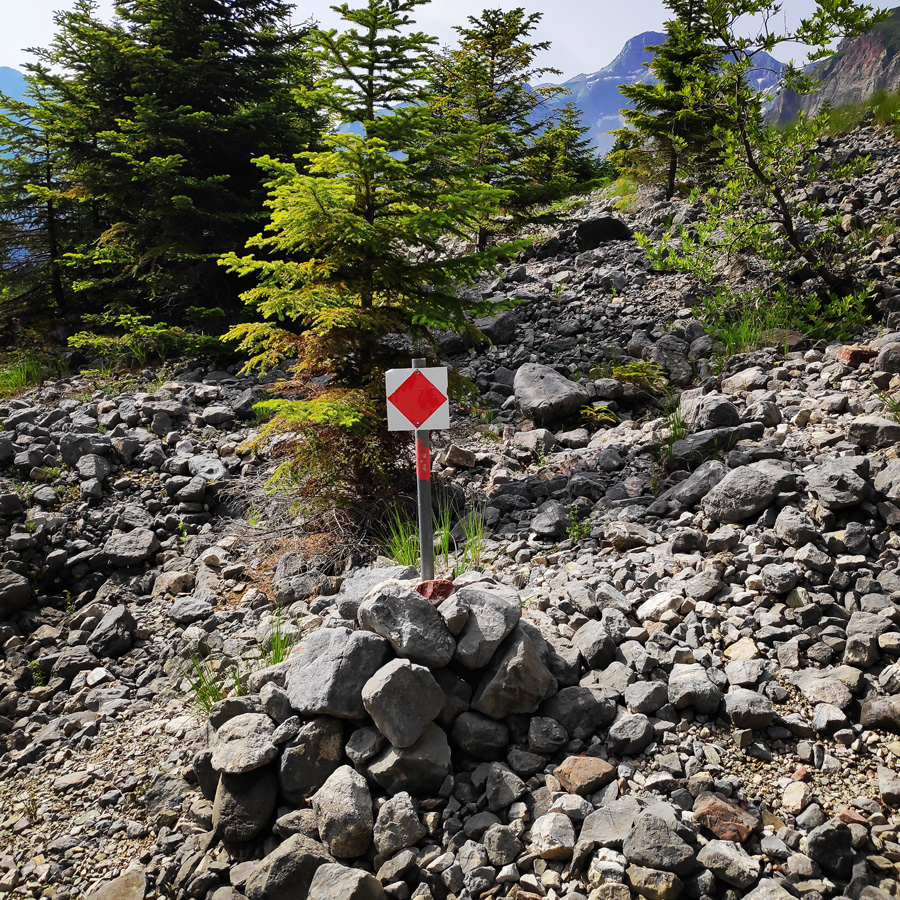
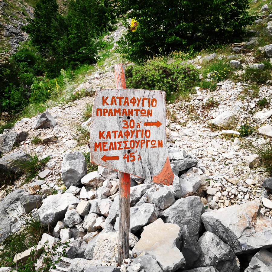
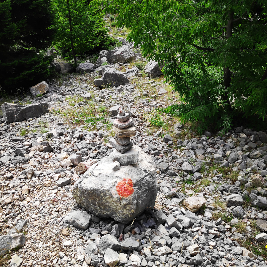
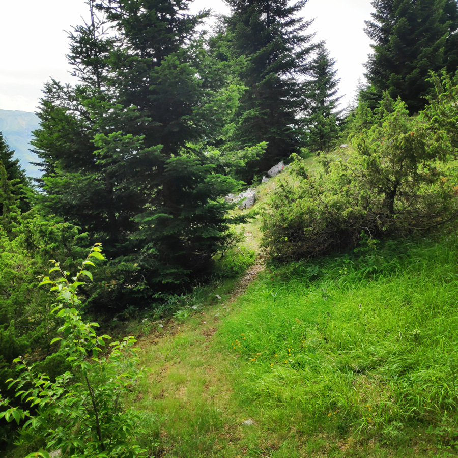
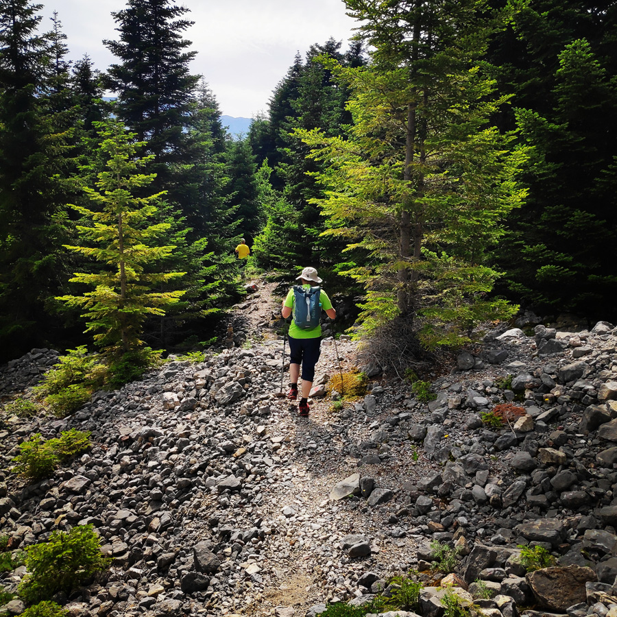
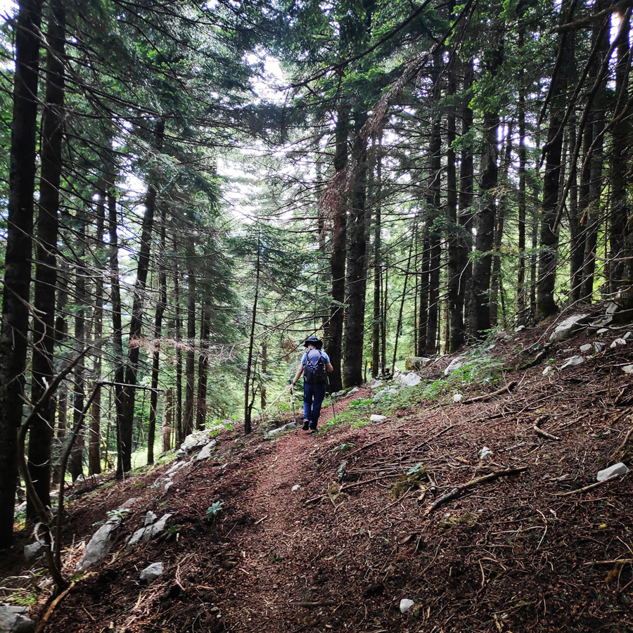
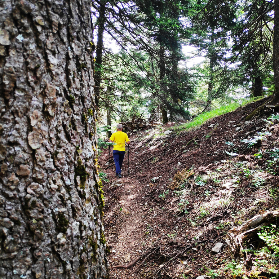
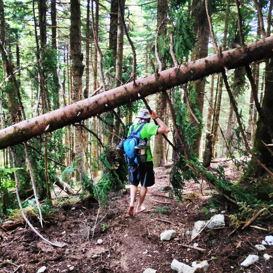
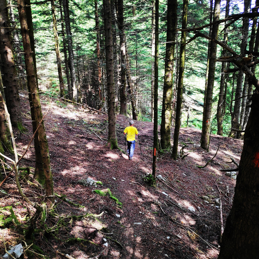
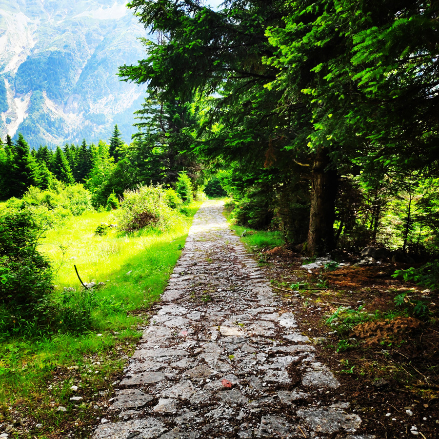
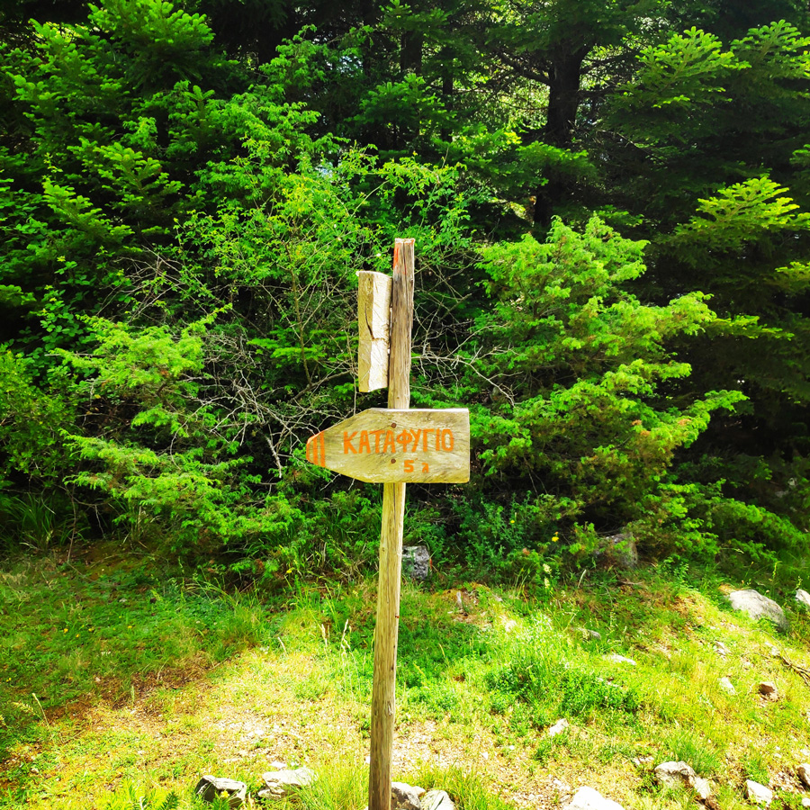
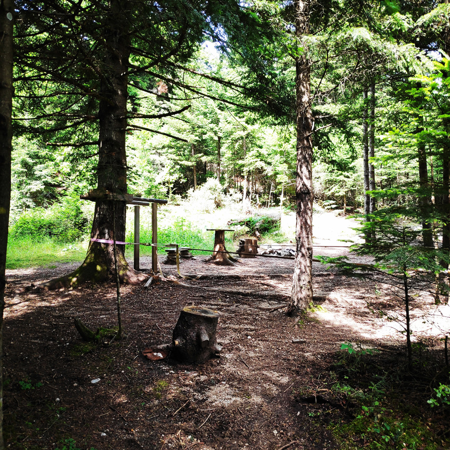
The route starts at an altitude of 1.300 m (4.265 ft), in the “Isioma” plateau on the slopes of Tzoumerka Mountain. About 100 meters away from the refuge there is a clear sign that indicates the trail to the magnificent waterfall. The trail is very easy to identify and to follow and there is not any single difficulty. In fact, is an ideal hike for beginners but also for families with kids.

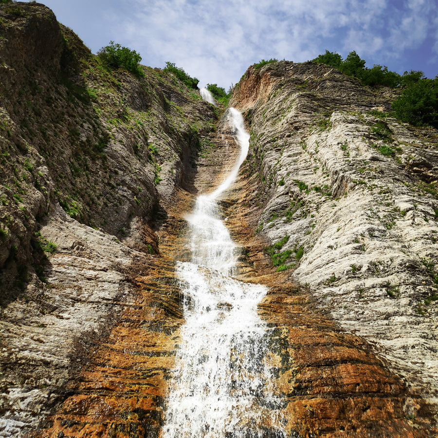
Kefalovriso Waterfall


Check out more FREE Guidebooks
Download now for free! Explore breathtaking landscapes and conquer thrilling heights with our collection of guidebooks and topos.
Don’t miss out on this opportunity to elevate your outdoor adventures. Click, download, and let the exploration begin!
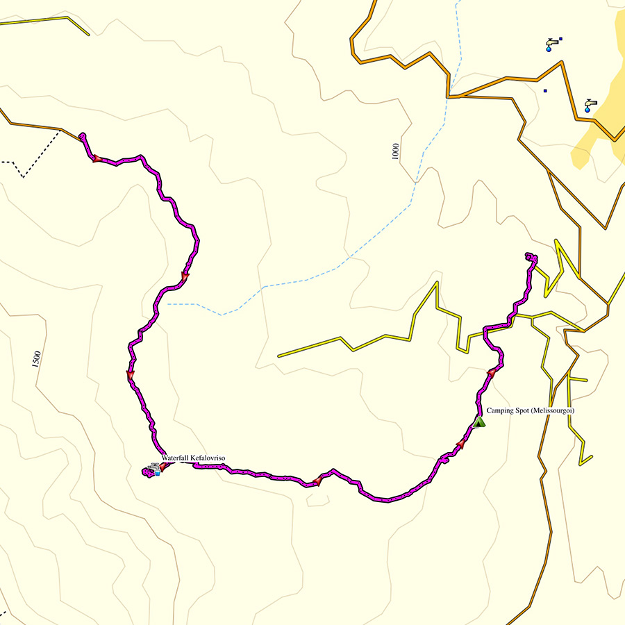
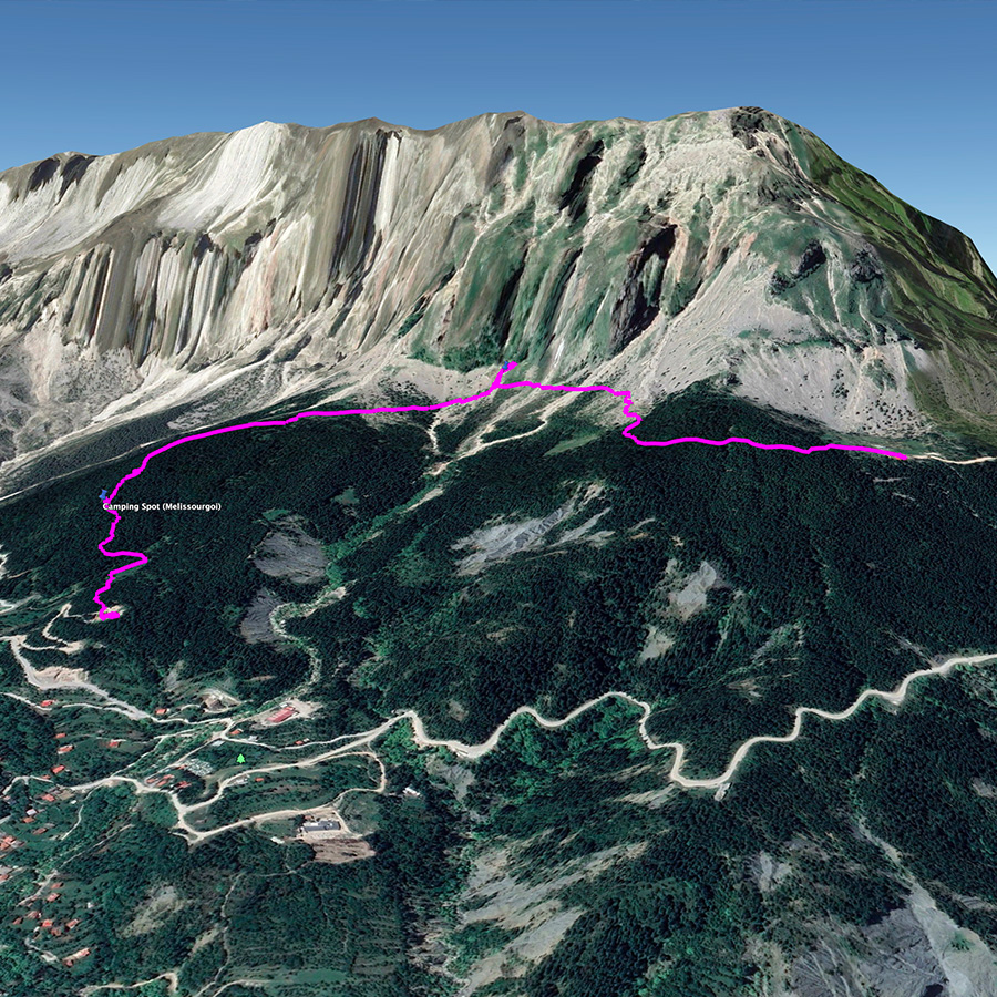
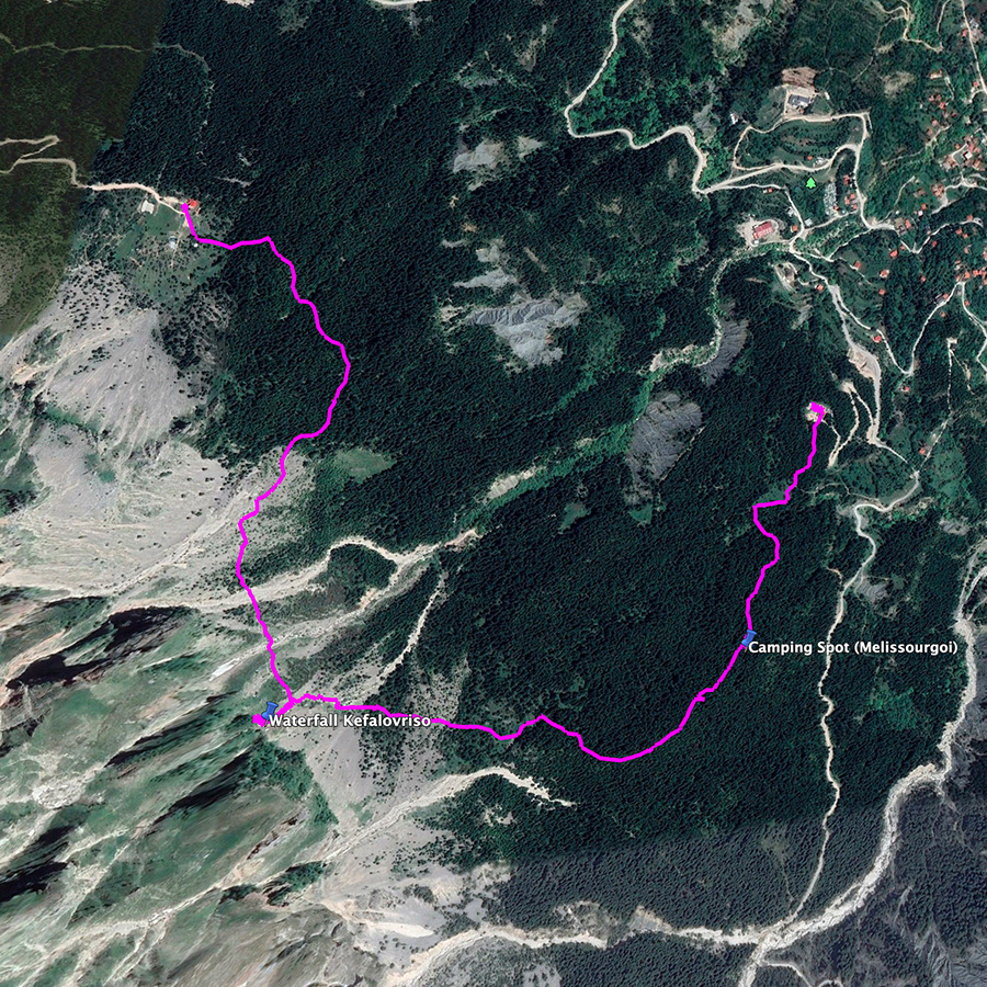
Kefalovriso Waterfall – Melissourgoi Mountain Refuge

Explore all outdoor activities in a convenient list view here
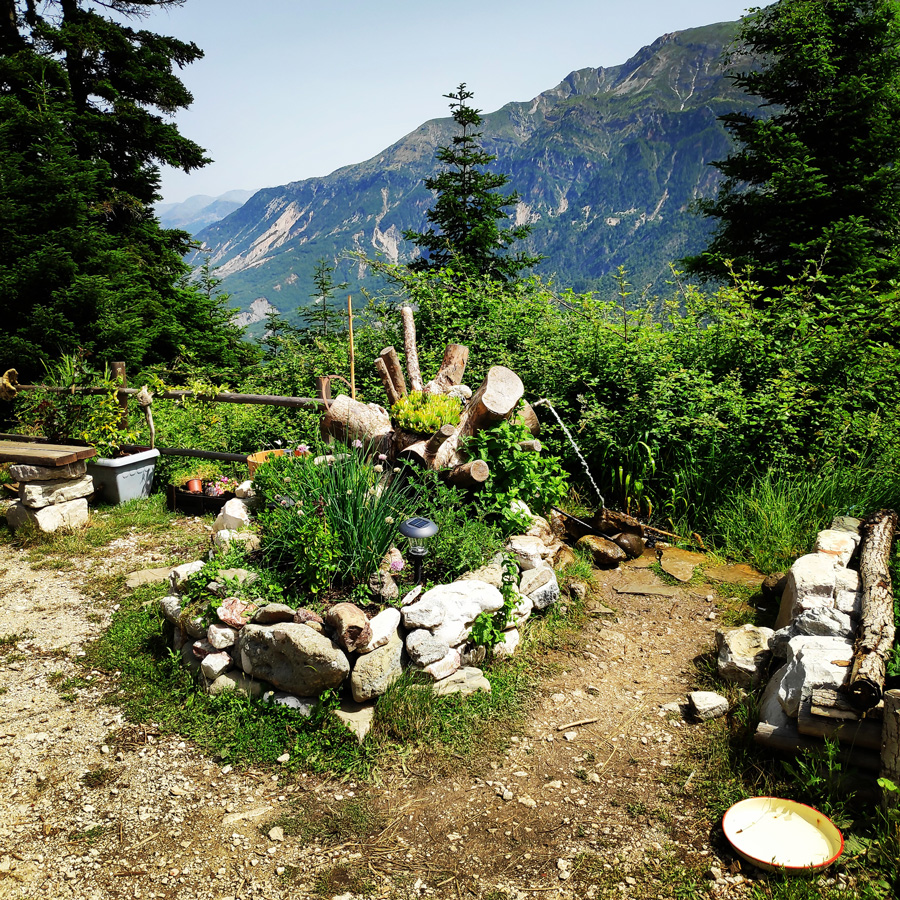
Melissourgoi Mountain Refuge
Melissourgoi mountain refuge is equipped with five five-bed rooms with heating, each of which has its own independent bathroom. In a separate space there is the living room with the stone-built fireplace, which is a reference point for visitors especially in the winter months. Moreover, there is plenty of space in the fir forest surrounding the shelter, ideally designed for camping and outdoor showers in the summer months.
Subscribe & Stay Informed
Enter your email address to follow this blog and receive notifications of new posts by email
Details of the Hike:
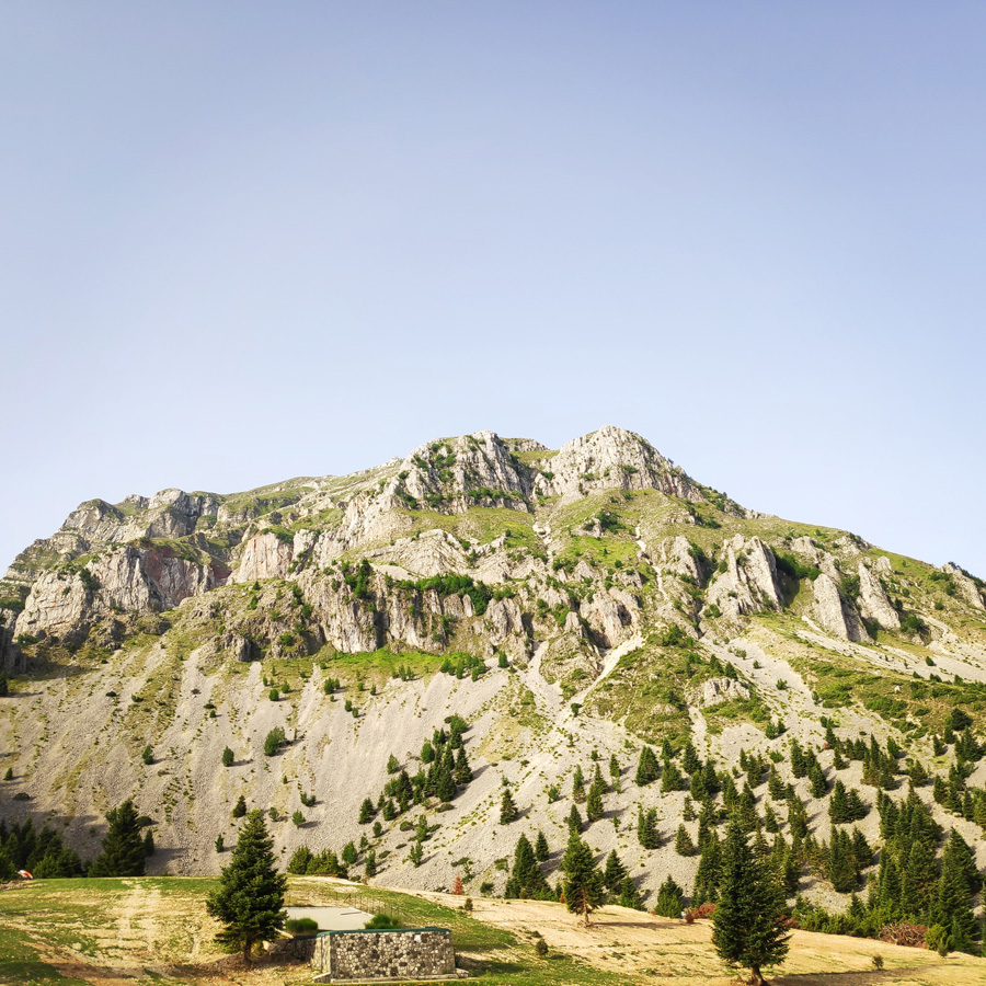
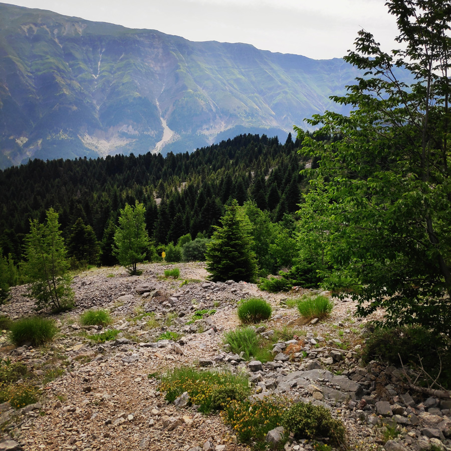
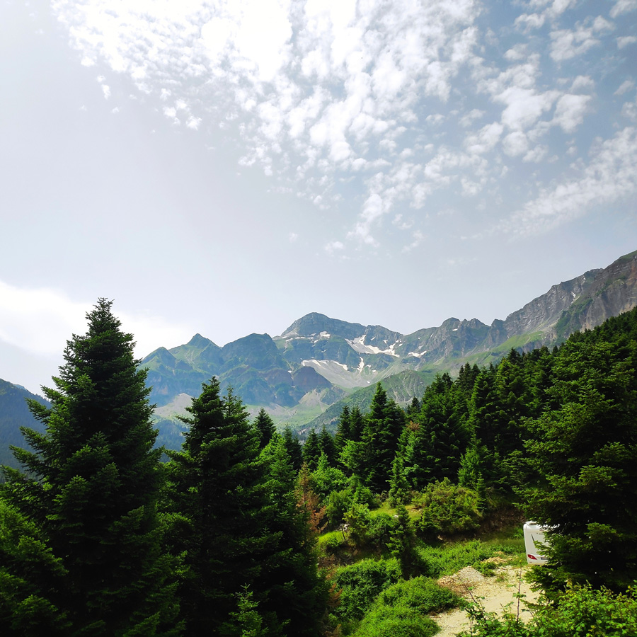
- Location: Athamanika (Tzoumerka) Mountains
- Starting Point: Pramanta Mountain Refuge
- Ending Point: Melissourgoi Mountain Refuge (via Kefalovriso Waterfall)
- Trail Signs: Well signed path
- Minimum Elevation: 1.027 m
- Maximum Elevation: 1.399 m.
- Total Distance: 4.1 km
- Difficulty: Easy
- When to Hike: All year round
- Water Features: One
Bellow you can see the route we have followed on a map and 3D:
Check this map before you leave this blog
Below: This map marks all the mountaineering adventures that have been featured on Olympus Mountaineering so far, including several Sport climbing crags – Select full screen to expand, zoom in for more detail, or click on a marker for a link to the post.

Wow.. what a great hike!! Beautiful views!!
LikeLike
Thank you very much for reading and for your comment.
LikeLiked by 1 person
Hello! Another amazing waterfall. Does it ever end? The beauty of Greece is simply stunning.
I like all the maps you are using. Topo, as well as satellite with the route overlaid. I was also admiring your map with the routes pegged. How did you do that? It’s a very useful tool for people to see where this hike is, compared to where some of your other treks are located.
Thanks for a great trip report!
Alisen
LikeLike
Thank you Alisen!
Tzoumerka, and overall the Pindus range (including Mt. Tymfi) is full of beautiful spots.
With regards, the map, with the routes pegged, I just use google maps and I add the info and the tags there. Should you need more detailed info, feel free to get in touch via email (contact form), and I will be happy to provide you all info.
Again, thank you for your nice comment.
LikeLiked by 1 person
Ah, I see. Thank you. I will play around for a bit before I bug you 🙂
Al
LikeLike
This looks like a beautiful place to hike. I love the option of the mountain refuges—we need more of those here in Canada.
LikeLike
Thank you Caroline.
I have heard from more Canadians, that in Canada you do not have many of such refuges and I and surprised about it. Let’s hope the local mountaineering clubs (In Canada) will want to build and operate such refuges.
LikeLike
Pingback: Hiking in Kouiassa Waterfall and Kipinas Monastery – Olympus Mountaineering
This looks like an amazing hike!
LikeLike
It was a nice hike, not difficult and very enjoyable.
Thank you for your comment.
LikeLiked by 1 person
Pingback: Hiking in Tzoumerka (Athamanika) Theodoriana – Marks Stream – Rema Marks – (family friendly) – Olympus Mountaineering
Pingback: Souda Twin Waterfalls – Theodoriana – Hiking in Tzoumerka (family friendly) – Olympus Mountaineering
Pingback: Hiking in Tzoumerka (Athamanika) – Melissourgoi – Kryoneri Waterfall – Melissourgoi (family friendly) – Olympus Mountaineering