Hiking in Ermionida – Ermioni – Kranidi (Argolis) Part 03 | Katafyki Gorge

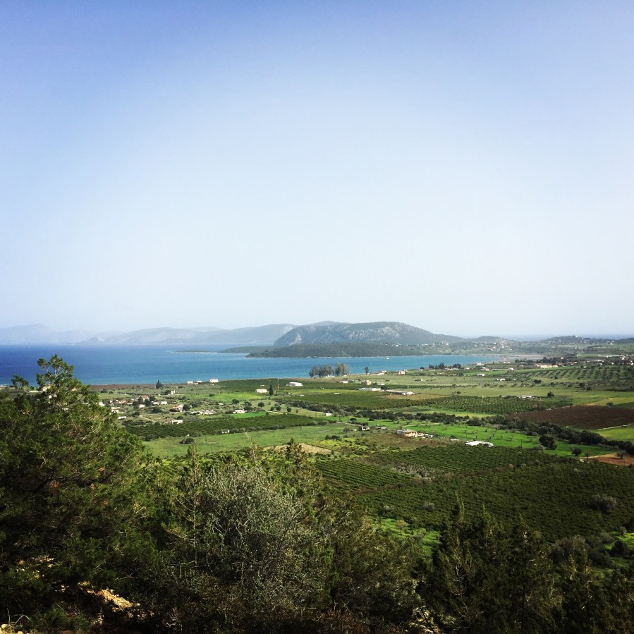
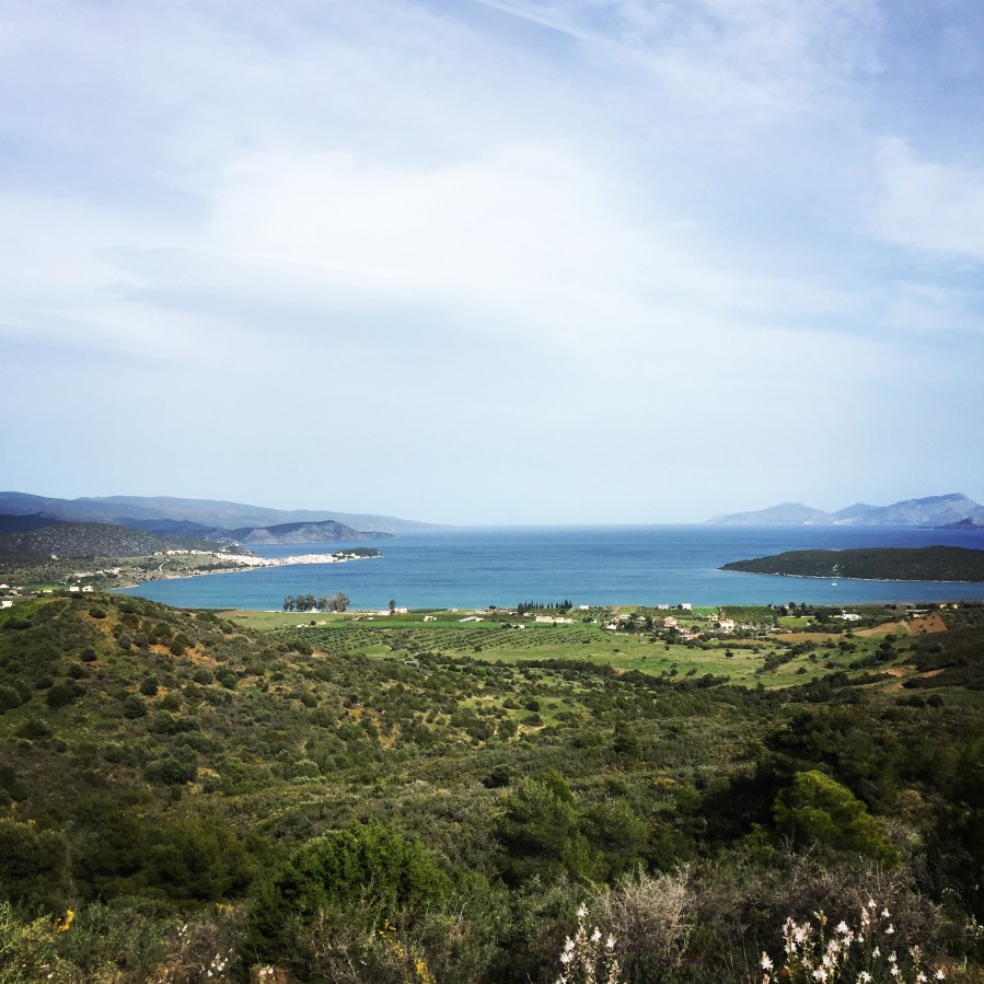
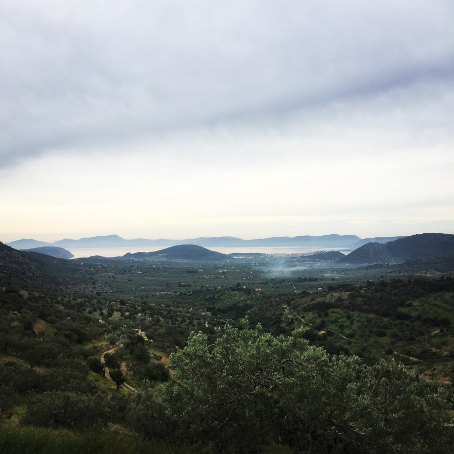
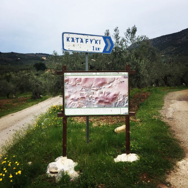
About 5 km away from Ermioni there is a great hiking opportunity in Katafyki Gorge. This route is suitable for all the family due to the easy trail of only 2,5 kilometres. The wild beauty of this gorge will astonish you. Of course, this route can be extended up to 7 kilometres if one wants to hike from Katafyki Gorge up to the village of Fournoi.

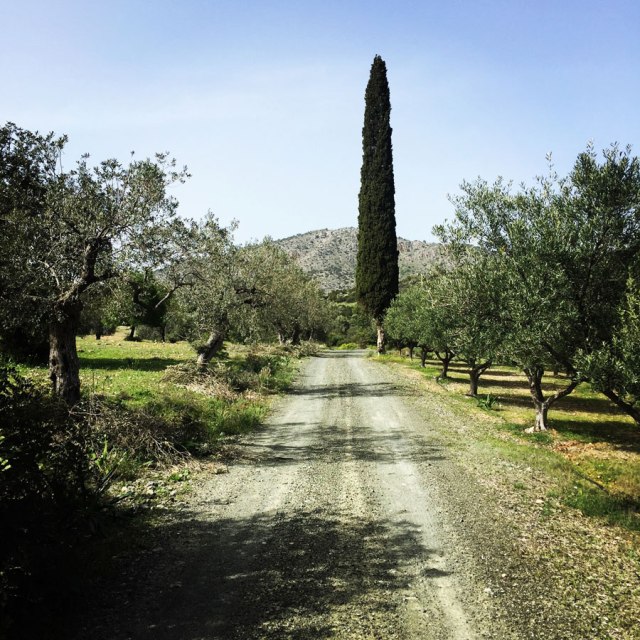
Katafyki gorge is a beautiful natural landscape, located between the villages of Fournoi and Ermioni. It consists of a protected area of outstanding beauty and a wild life refuge that attracts the most demanding visitors. Hikers can leave their car in Ermioni and take the path that passes through the dense vegetation of pines, laurels, myrtles, shrubs and other endemic plants. The sound of the running water and the presence of rare animals and wild birds give the impression of an earthly paradise. The imposing rough rocks host mysterious caves, one of which is said to consist of the entrance to the underworld, the point from where Hercules found Cerberus. The locals narrate stories of various offenders that used the caves as refuge.

Ermioni_Katafyki_Katafiki_6467
Start/End point of the Katafyki trail

Continue reading “Hiking in Ermionida – Ermioni – Kranidi (Argolis) Part 03 | Katafyki Gorge”

Hiking in Ermionida – Ermioni – Kranidi (Argolis) Part 02 | Pikrodafni – Avlona – Crow Hill – Pikrodafni

Spring time in Greece is one of the best seasons. Weather conditions are optimum almost on daily basis where there is clear blue sky but the sun is not burning hot as it becomes during summer time. In fact, during, spring time one can go for an alpine climb with neve and snow and just after that can go for a refreshing dive into the crystal clear blue sea waters of Greece.

For this spring, I have decided to explore the trail paths of a small town in the east of Peloponnese called Ermioni. Ermioni is a small fishing town of Argolida (Argolis) at the east of Peloponnese. The traditional taverns, the cafes, the paved streets, the beautiful houses and the crystal clear beaches around this area are some of the reasons this town is an interesting summer destination of Peloponnese. While travelling around this area you will have the chance to admire the olive and the pine trees and plenty of bays with turquoise water.

Hiking-Ermioni-Argolis_5704
Beginning of the trail

Continue reading “Hiking in Ermionida – Ermioni – Kranidi (Argolis) Part 02 | Pikrodafni – Avlona – Crow Hill – Pikrodafni”

Hiking in Ermionida – Ermioni – Kranidi (Argolis) Part 01 | Ermioni – Ag. Anargyroi – Pikrodafni – Ermioni

Having enjoyed some more heavy duty winter mountaineering activities, it is time to do some simple hiking in a rather unexplored area of Greece, Ermioni.

Ermioni is a small fishing town of Argolida (Argolis) at the east of Peloponnese. The traditional taverns, the cafes, the paved streets, the beautiful houses and the crystal clear beaches around this area are some of the reasons this town is an interesting summer destination of Peloponnese. While travelling around this area you will have the chance to admire the olive and the pine trees and plenty of bays with turquoise water.

Wandering around this town you will definitely feel like you are on an island. You can walk on the paved streets until the slope of the ancient hill “Pronos” where you will find the beautiful chapel of Agia Kiriaki. When you arrive at the chapel you will be rewarded with the beautiful view of the sea and the plains where olive trees, citrus trees and pomegranates are cultivated. Ermioni, besides being a very picturesque town is also the harbour that leads to Hydra island and not far from there, one can find Spetses island too. Continue reading “Hiking in Ermionida – Ermioni – Kranidi (Argolis) Part 01 | Ermioni – Ag. Anargyroi – Pikrodafni – Ermioni”

Hiking to the top of Mount Parnonas

This winter, weather conditions in Greece have not been very harsh and therefore we did not have many snowfalls till now. In our search for snow, we have decided to visit one of the nicest mountains of Pelopennese area, Mount Parnonas (or Malevos).

Parnonas is a mountain range, or massif, on the east of the Laconian plain and the Evrotas valley, upon which Grant Parnon resides. It is visible from Athens above the top of the Argive mountains. The western part is in the Laconia prefecture and the northeastern part is in the Arcadia prefecture. The Parnon range separates Laconia from Arcadia. Its summit offers panoramic views of southeastern Arcadia and South Kynouria and much of Laconia that includes the northern and the central portions and reaches as far as the Taygetos mountains. It also views a part of the central Arcadia and the southern Argolis prefectures.

Parnonas also known as “Malevos” is the mountain range which divides two large counties of Peloponnese, Arcadia and Laconia. The highest peak of Parnonas is called “Megali Tourla” also known as “Kronio” and has 1936 meters altitude. The mountain ends in Laconia at the Cape Maleas, south of Peloponnese.

Parnonas_Mountain_Ascent3854
Starting point

Continue reading “Hiking to the top of Mount Parnonas”

Hiking in Agrafa – Panagia Pelekiti – Karamanoli – Neraida

Hiking in the Agrafa region is one of our favourite activities. Having already hiked and climbed Voutsikaki, Five Towers, Papadimitri, Pouli and Svoni, we have decided to visit another trail path in the mountainous region of Agrafa.

Agrafa is a mountainous region in Evrytania and Karditsa regional units in mainland Greece, consisting mainly of small villages. It is the southernmost part of the Pindus range.  The Agrafa region is famous for its complete autonomy throughout the entire 400 years of Ottoman Turkish occupation of Greece. The word agrafa literally translates to unwritten which means unregistered or uncharted; because the Ottomans were unable to conquer this region, the area and its population were not recorded in the Sultan’s tax register. As a result the people were usually free to conduct their business and customs as they pleased without Ottoman influence.

Agrafa_PanagiaPelekiti_Karamanoli_Neraida_Hiking_3483 Continue reading “Hiking in Agrafa – Panagia Pelekiti – Karamanoli – Neraida”

Agrafa Mountains – Svoni – Pouli – Papadimitri

Almost at the end of the eleventh month of the year and this time, we have decided to visit one of our favourite regions of Greece and specifically the Agrafa mountains. The route we have decided to do is the following: Karoplesi village – Papadimitri Peak (1.930 m) – Pouli Peak (1.846 m.) – Svoni Peak (2.042 m) – Saika Village, all situated in the Agrafa region of Karditsa.

Agrafa is a mountainous region in Evrytania and Karditsa regional units in mainland Greece, consisting mainly of small villages. It is the southernmost part of the Pindus range.  The Agrafa region is famous for its complete autonomy throughout the entire 400 years of Ottoman Turkish occupation of Greece. The word agrafa literally translates to unwritten which means unregistered or uncharted; because the Ottomans were unable to conquer this region, the area and its population were not recorded in the Sultan’s tax register. As a result the people were usually free to conduct their business and customs as they pleased without Ottoman influence.

Agrafa_Svoni_Pouli_Papadimitri_Hiking_3440
Sunrise in Agrafa
Continue reading “Agrafa Mountains – Svoni – Pouli – Papadimitri”

Autumn Ascent on Skiathis Mountain

It was a cloudy and rainy Sunday morning, and we have decided to visit a mountain peak that is not well known. The name of this mountain is Mount Skiathis (also called Scathes or Sciathis) and is in the boarders of the prefecture of Argolis and Arcadia. In the north part is connected with Mount Oligyrtos and in the southern part with Lyrkio Mountain.

The highest point of Mount Skiathis is 1.777 meters above sea level. This mountain is not often climbed and therefore during our ascent we have not met any other hikers. Actually, the path towards the peak is not well signed and therefore in case of not optimal weather conditions, it is suggested to have a GPS device with the route already loaded in it.

Skiathis_Mountain_Autumn_Ascent_2830
While arriving in Alea, a beautiful rainbow was welcoming us

Continue reading “Autumn Ascent on Skiathis Mountain”

Agrafa Mountains Svoni Peak Expedition Preparation – Autumn 2017

Agrafa is a mountainous region in Evrytania and Karditsa regional units in mainland Greece, consisting mainly of small villages. It is the southernmost part of the Pindus range.  The Agrafa region is famous for its complete autonomy throughout the entire 400 years of Ottoman Turkish occupation of Greece. The word agrafa literally translates to unwritten which means unregistered or uncharted; because the Ottomans were unable to conquer this region, the area and its population were not recorded in the Sultan’s tax register. As a result the people were usually free to conduct their business and customs as they pleased without Ottoman influence.

Agrafa_Five_Towers_26
Pouli and Svoni Peak 2.042 m. as seen from 5 Towers (5 Pyrgoi)

Continue reading “Agrafa Mountains Svoni Peak Expedition Preparation – Autumn 2017”

Taygetus Mountain Autumn Ascent via Athanati Rachi

While we are approaching winter, we have decided to visit once again one of our favourite mountain ranges of Greece, Taygetus (Taygetos).

Taygetus, is a mountain range in the Peloponnese peninsula in Southern Greece. The highest mountain of the range is Mount Taygetus, also known as the “Profitis Ilias”, or “Prophet Elias”. The name is one of the oldest recorded in Europe, appearing in the Odyssey. In classical mythology, it was associated with the nymph Taygete. During Byzantine times and up until the 19th century, the mountain was also known as “Pentadaktylos” which means “five fingers” in Greek. The name was related to the 5 tops of the mountain range.

Taygetos_Taygetus_Mountain_Autumn_Ascent_2577
Map of Taygetos found in Maganniari Springs
Continue reading “Taygetus Mountain Autumn Ascent via Athanati Rachi”

Scrambling in Artemisio Mountain (Artemisio Arete)

Artemisio mountain is on the border between Arcadia and Argolis, in the Municipalities of Argos-Mycenae and Tripolis respectively. It forms part of the mountain range that connects the Argolic Gulf with the Corinthian, and as such, it borders with Lyrkeio mountain on the north and with Ktenias mountain on the south. On its west is the plateau of Mantineia. Its tallest peak which is called Malevos is 1,771 metres in height.

Scrambling_In_Artemisio_2005
Route 34 leads to Malevos peak 1.771 m.
Continue reading “Scrambling in Artemisio Mountain (Artemisio Arete)”