
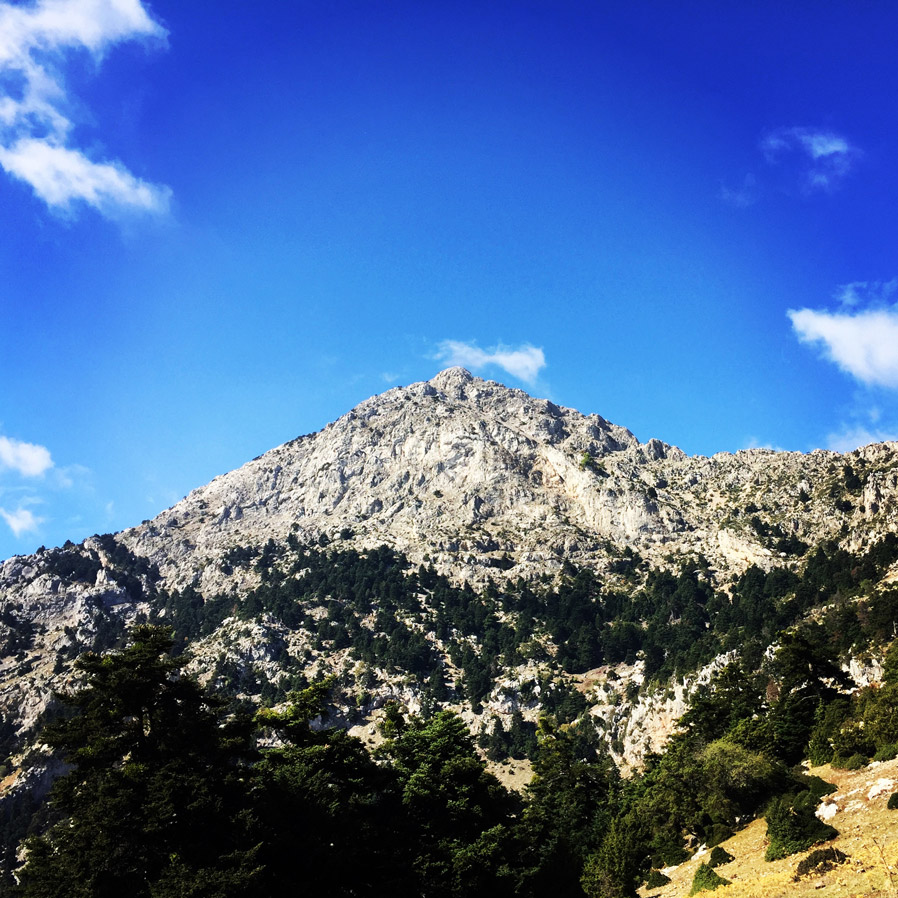
Artemisio mountain is on the border between Arcadia and Argolis, in the Municipalities of Argos-Mycenae and Tripolis respectively. It forms part of the mountain range that connects the Argolic Gulf with the Corinthian, and as such, it borders with Lyrkeio mountain on the north and with Ktenias mountain on the south. On its west is the plateau of Mantineia. Its tallest peak which is called Malevos is 1,771 metres in height.
According to Pausanias, a sanctuary dedicated to goddess Artemis, patron of hunters and wild nature, used to sit on its peak. The Roman traveller mentions the sacred grove of Itamoi, a European Yew that is very toxic, and according to mythology, the goddess used it to poison her arrows; unfortunately, the grove has not survived. Today, very few fir trees survive. The river Inachos has its spring on the mountain, its mouth in the Argolic gulf, and is one of the few springs that can be used for those who decide to climb the mountain.
See previous Winter Ascent on Mount Artemisio here
Support the journey — buy me a coffee
I share these articles and the climbing guidebooks because I love the outdoors, and they’ll always be free. If they’ve helped you, help me keep them coming. Click the button to support my work.

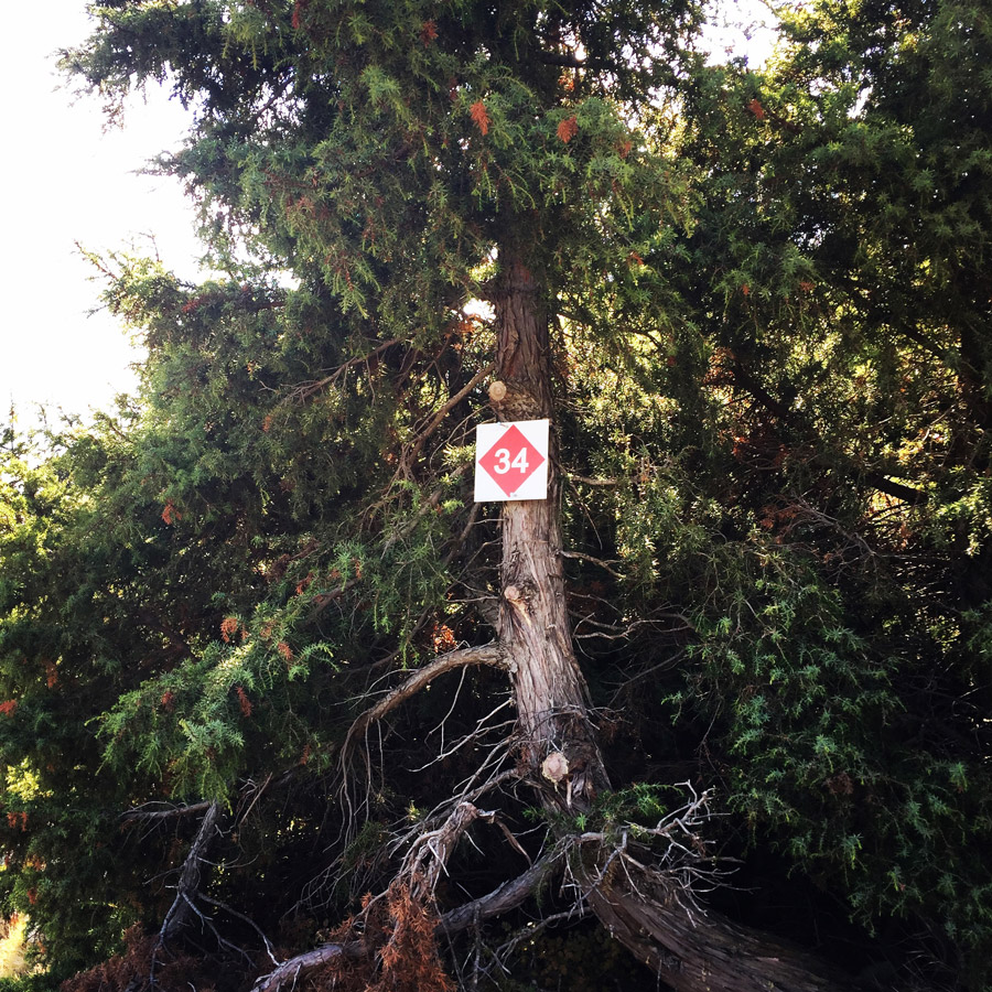
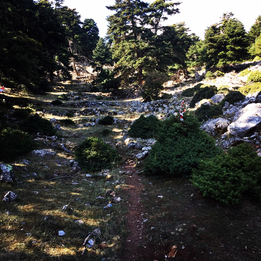
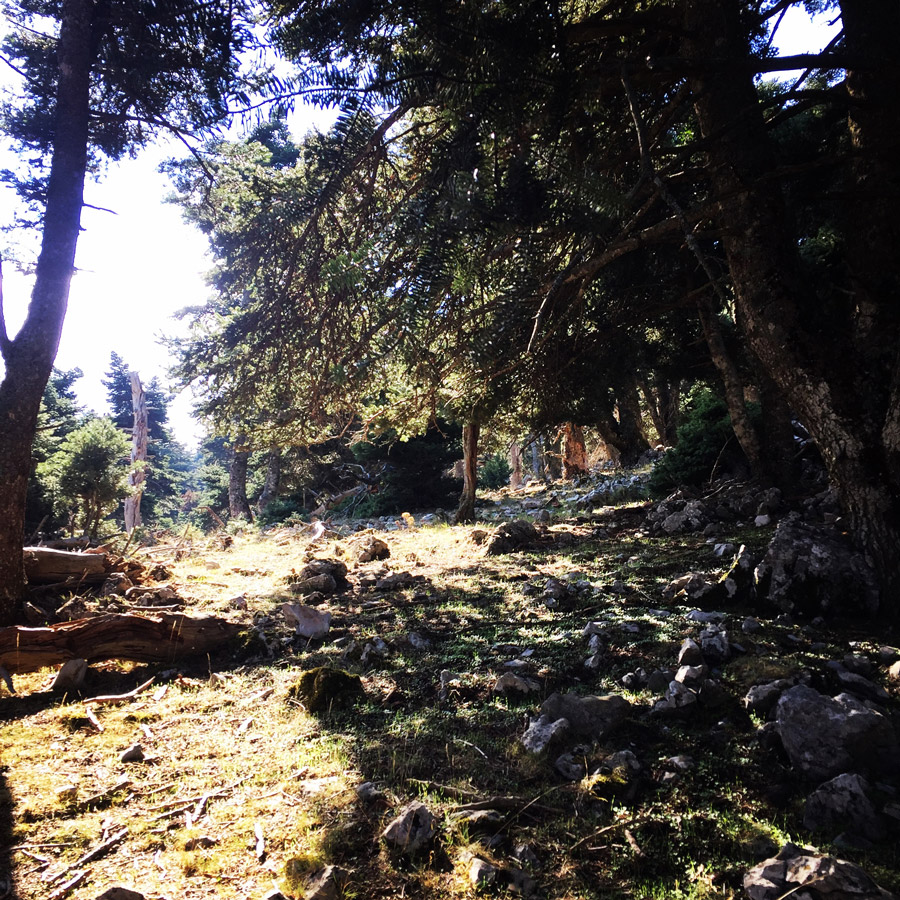
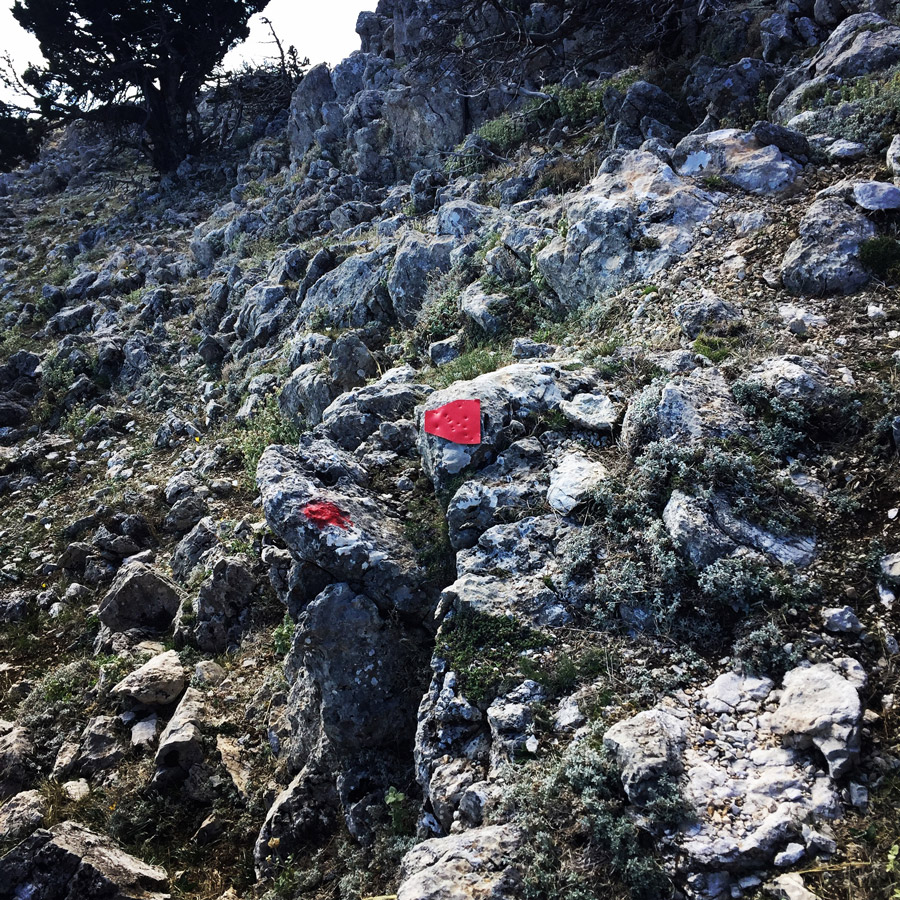
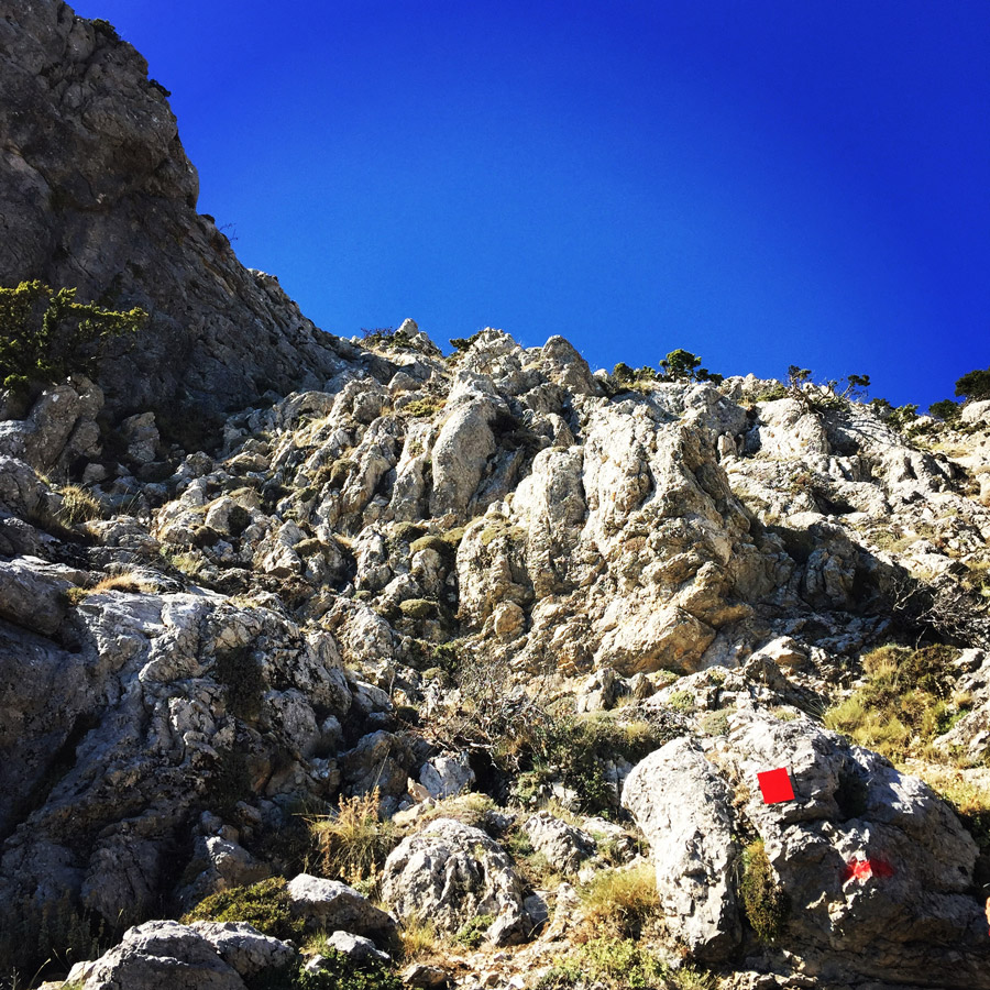
Hikers and climbers usually depart from Karya, on the east side of Artemisio. Two trails of different difficulty begin from there, one requiring special knowledge and equipment. In general, Artemisio’s trails are through the canyons and on its slopes, and are a popular destination for both mountain climbing and hiking; though hikers who don’t want to climb or don’t have the knowledge and equipment, should choose the easier trail from Karya. Both trails have good signals to aide the travellers.

Check out more FREE Guidebooks
Download now for free! Explore breathtaking landscapes and conquer thrilling heights with our collection of guidebooks and topos.
Don’t miss out on this opportunity to elevate your outdoor adventures. Click, download, and let the exploration begin!
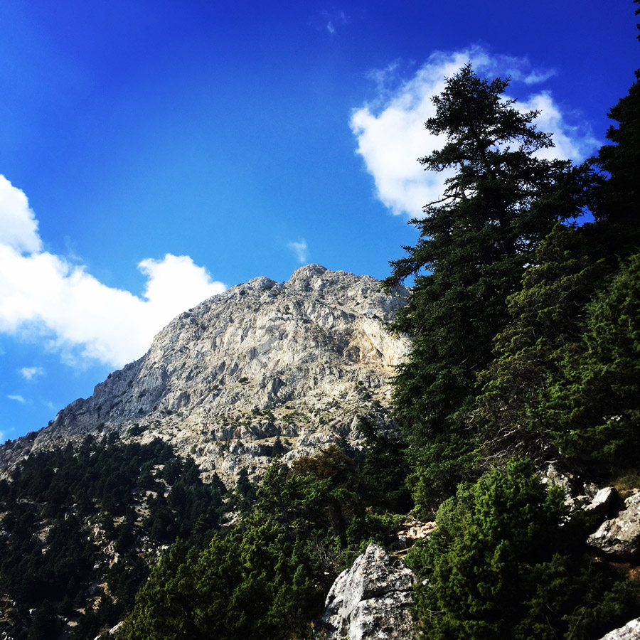
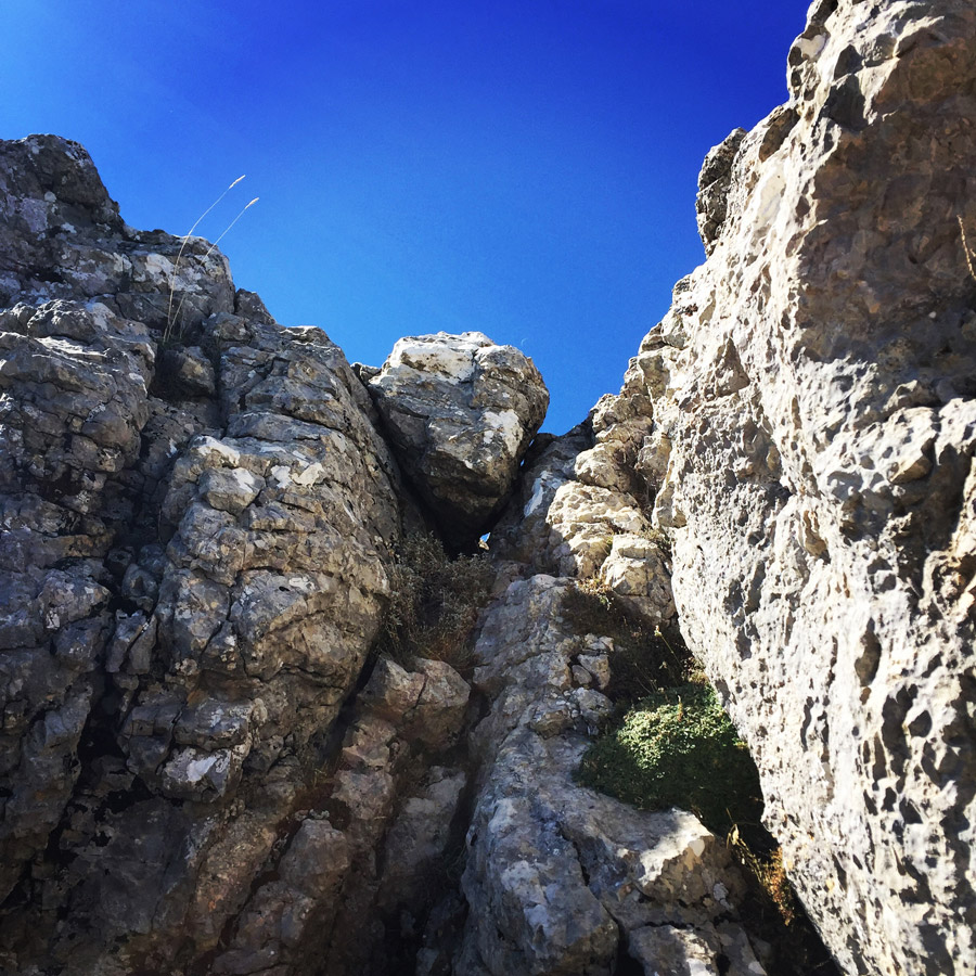
Our aim for this ascent was to reach the top via the well known scrambling path called “Chtenia Artemisiou” (Arete of Artemisio). Artemisio’s arete is a fish-bone type ridge with several exposed passages and is a great location for 4th degree scrambling. For experienced climbers, the Arete of Artemisio can be a nice playground, though for beginners can be a bit overwhelming, thus some protection gear might be required.

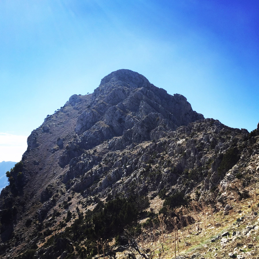
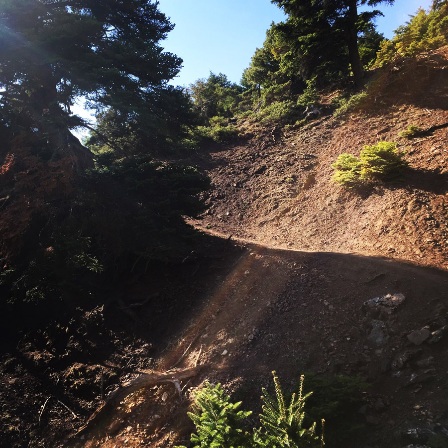
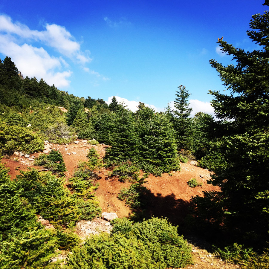
After about an hour of hiking through beautiful pine tree forest, we have reached the west col of mount Artemisio. On that point, we have had a short break in order to get some refreshments and some snacks. It is on that point that the spine ridge (arete) of Artemisio starts and therefore we also wore our helmets. It is not 100% necessary, but we like to climb safe and therefore a helmet provides a bit of extra protection from potential rockfall from above. The arete of Artemisio is a very nice and fun route that combines easy scrambling but also some more technical and demanding climbing.

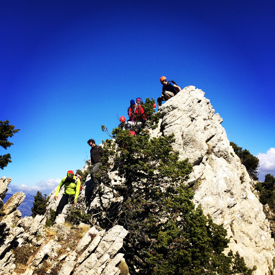


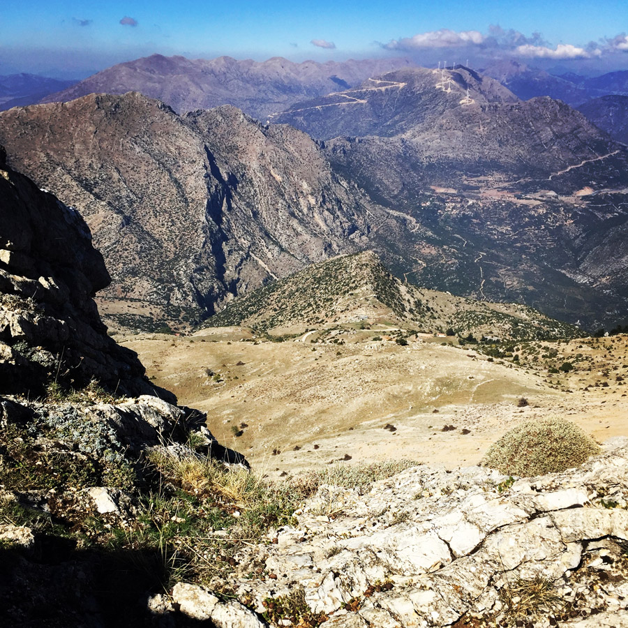
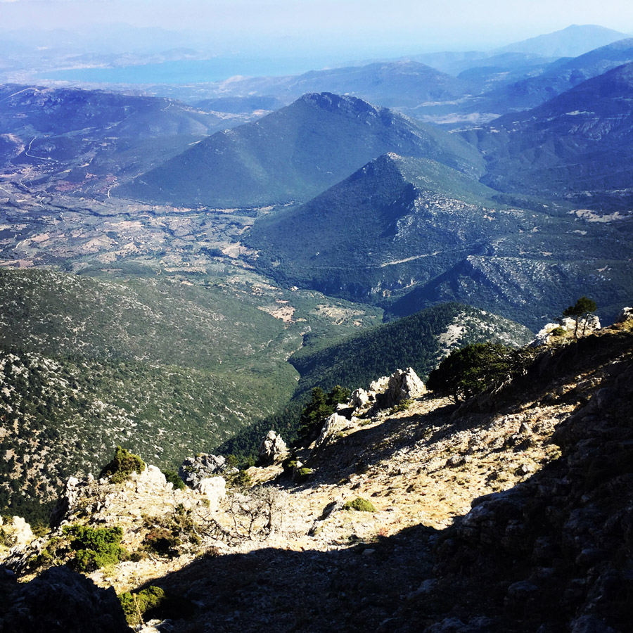
While climbing up towards the summit of Artemisio, we have some some fun time, but just after an hour we have managed to reach the highest peak of the mountain, Malevos (1.771 m.). From the summit we have had the chance to see other surrounding mountains and peaks, including Ktenias Mountain (Mount Kreion), Mount Trachi, Mount Oligirtos, Mikri Ziria (Kyllini), Megali Ziria (Kyllini) and even Erymanthos mountain.
Reaching the top gives always a good feeling, especially after some demanding scrambling. Sun was shinning, we have clear sky so we could enjoy the spectacular view and it was rather warm weather for this period. Therefore, we relaxed on the summit for quite some time.


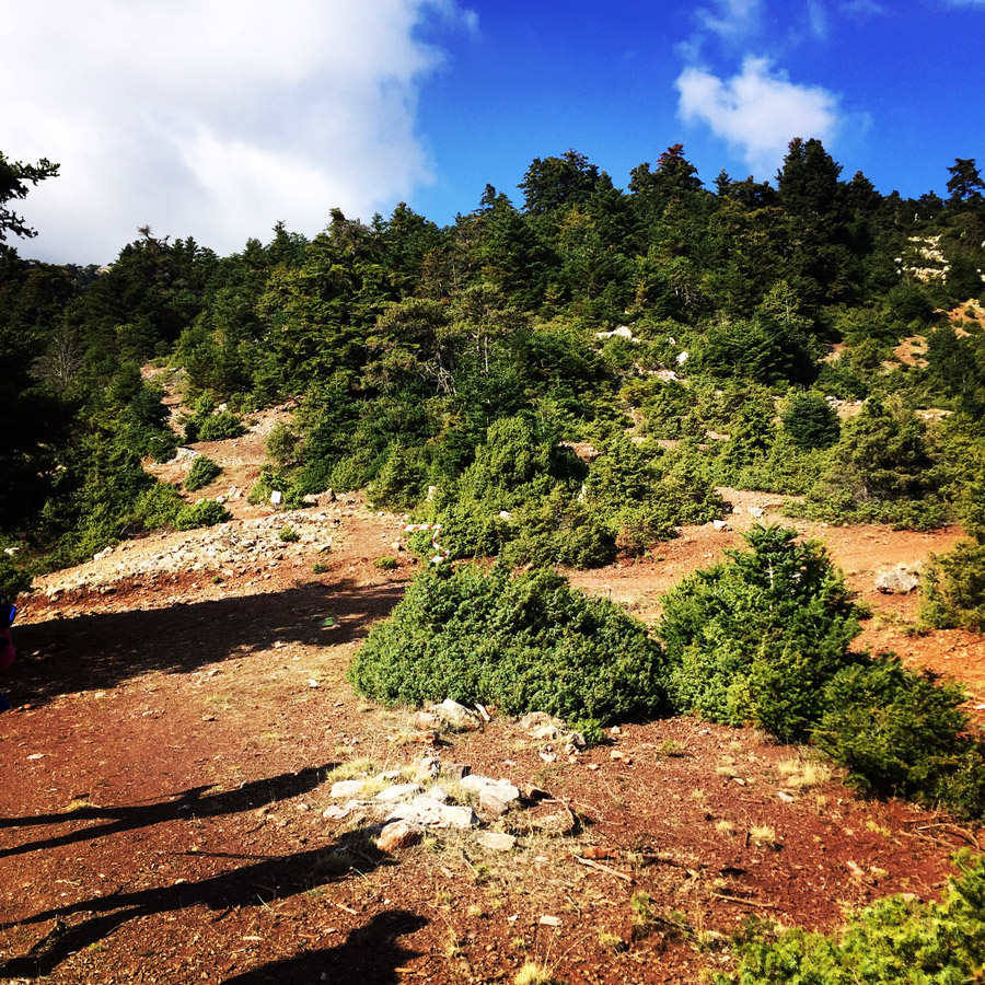
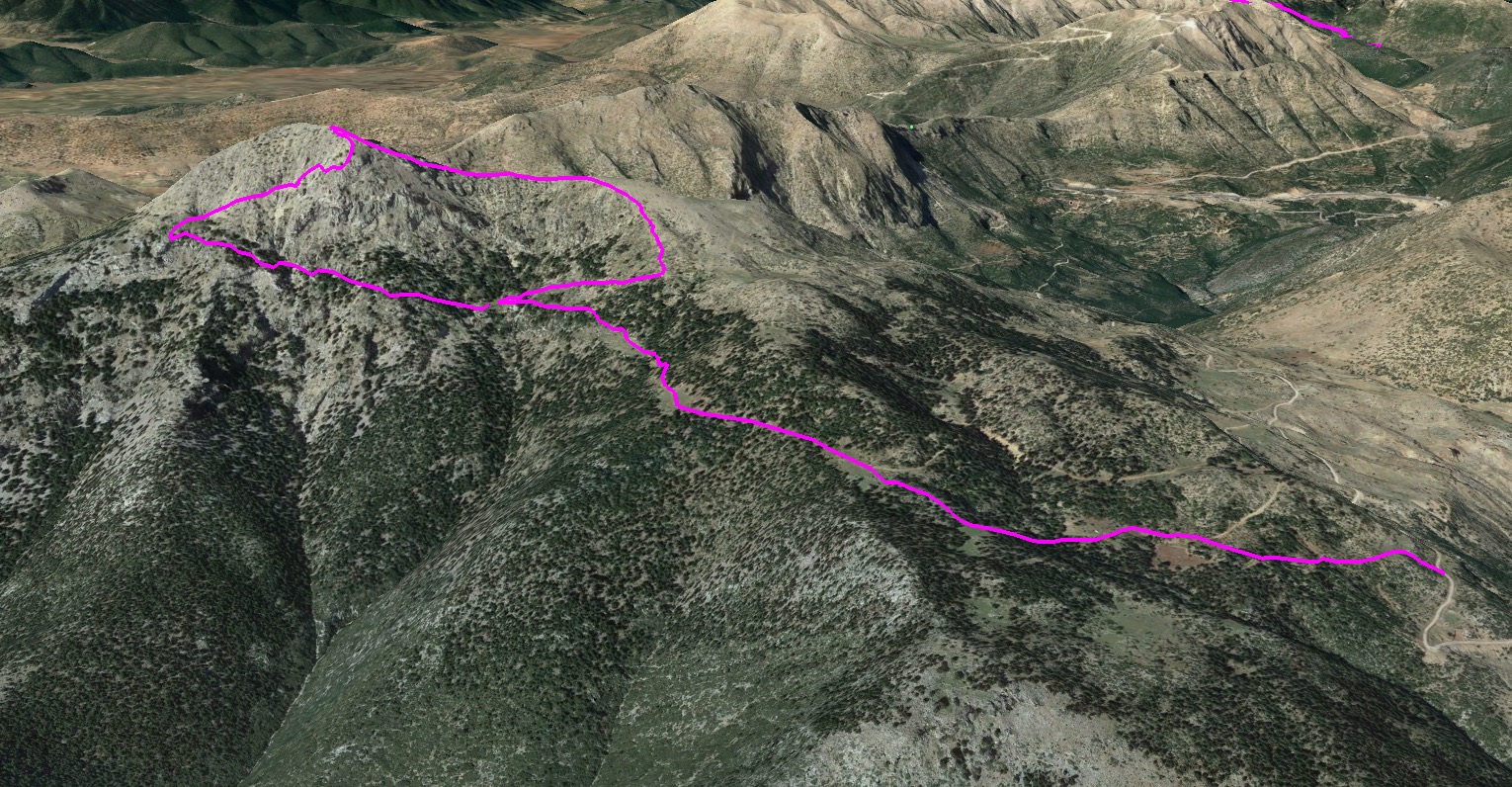
Although relaxing on the top under the warm sun was feeling great, it was about time to complete the other half of the climb, which is to come down from the mountain in a safe way. For the way back, we have followed the hikers path that leads from the Malevos peak to “neraidovrisi” and from there to Karya. This is a relatively easy hike and the travel time is about 2 hours and 30 minutes.
In Artemisio’s ecosystem are Important Bird Areas of Greece, and one of the known species found here is Rüppell’s warble.


Subscribe & Stay Informed
Enter your email address to follow this blog and receive notifications of new posts by email
Details of the climb:
- Location: Artemisio
- Starting Point: Karya
- Ending Point: Malevos Peak 1.771 m.
- Minimum Elevation: 677 m
- Maximum Elevation: 1.771 m.
- Elevation Gain: 1.094 m.
- Total Distance: 13.7 km
- Difficulty: Medium
- Water Features: None during summer and early Autumn
Bellow you can see the route we have followed on a map and on 3D:

You can check a previous ascent on Artemisio Mountain during winter on the link bellow:
Winter Ascent on Mount Artemisio
Before you leave this blog check out the following map
Below: This map marks all the mountaineering adventures that have been featured on Olympus Mountaineering so far, including several Sport climbing crags – Select full screen to expand, zoom in for more detail, or click on a marker for a link to the post.

Pingback: Trad Climbing on Artemisio Mountain – Olympus Mountaineering
Pingback: Climbing the North-East Rigde of Mount Hymettus (Prosilio Ridge) – Olympus Mountaineering
Pingback: Hiking in Artemisio Mountain – Artemisio Arête – Post Covid-19 Lockdown – Olympus Mountaineering