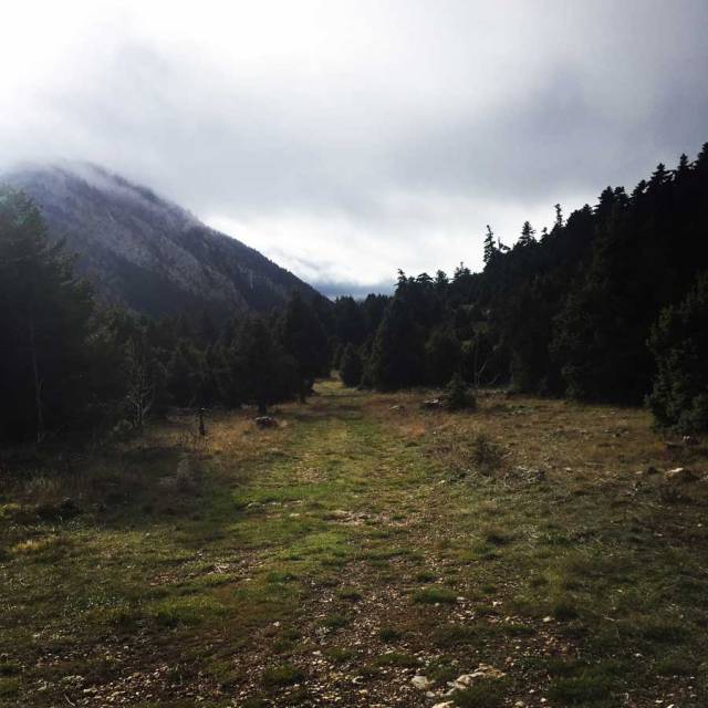
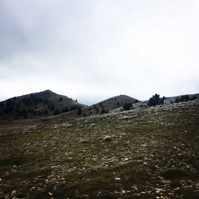
This winter, weather conditions in Greece have not been very harsh and therefore we did not have many snowfalls till now. In our search for snow, we have decided to visit one of the nicest mountains of Pelopennese area, Mount Parnonas (or Malevos).
Parnonas is a mountain range, or massif, on the east of the Laconian plain and the Evrotas valley, upon which Grant Parnon resides. It is visible from Athens above the top of the Argive mountains. The western part is in the Laconia prefecture and the northeastern part is in the Arcadia prefecture. The Parnon range separates Laconia from Arcadia. Its summit offers panoramic views of southeastern Arcadia and South Kynouria and much of Laconia that includes the northern and the central portions and reaches as far as the Taygetos mountains. It also views a part of the central Arcadia and the southern Argolis prefectures.
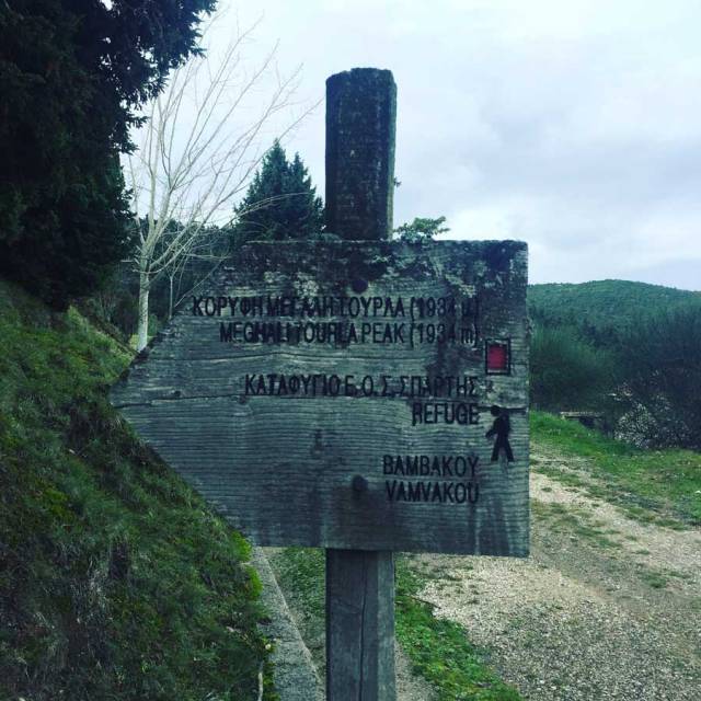
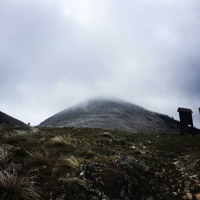
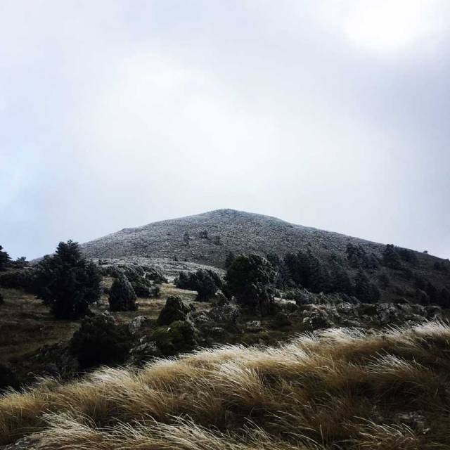
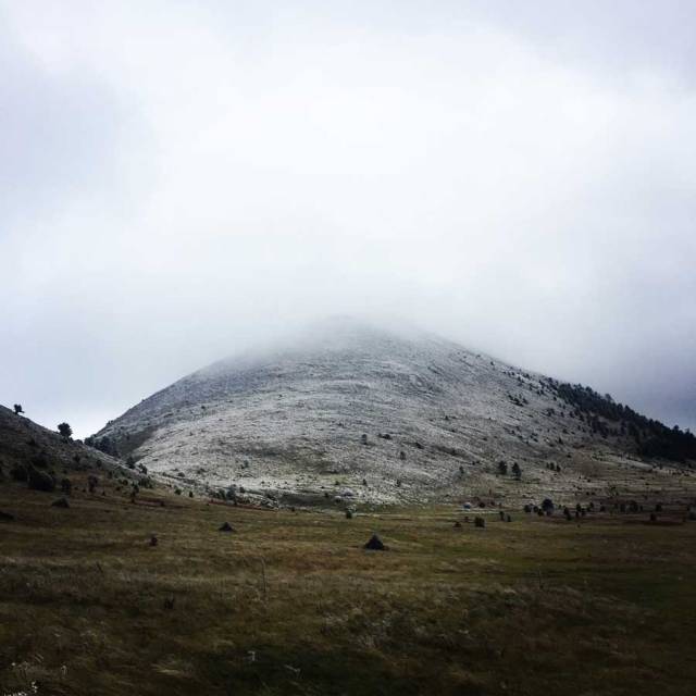
Parnonas also known as “Malevos” is the mountain range which divides two large counties of Peloponnese, Arcadia and Laconia. The highest peak of Parnonas is called “Megali Tourla” also known as “Kronio” and has 1936 meters altitude. The mountain ends in Laconia at the Cape Maleas, south of Peloponnese.
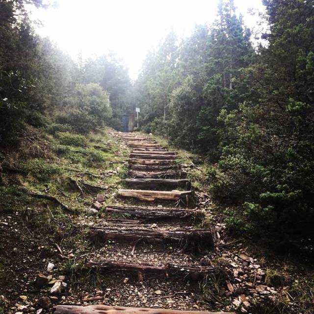
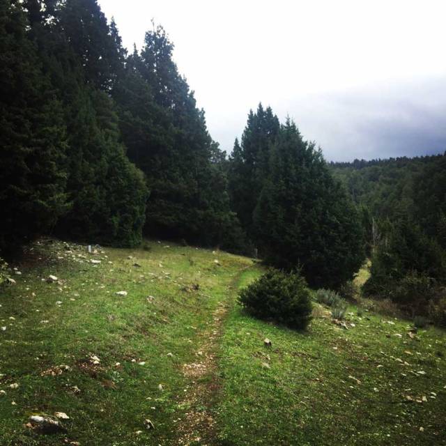
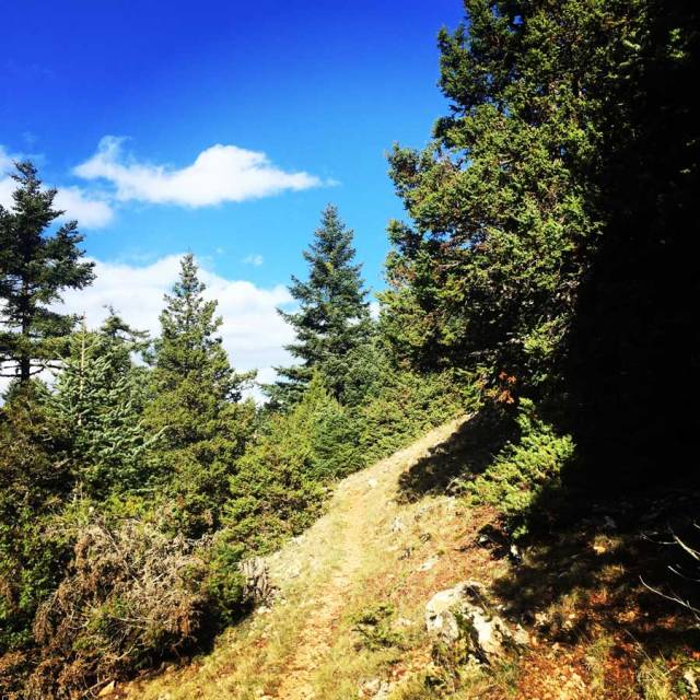
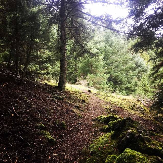
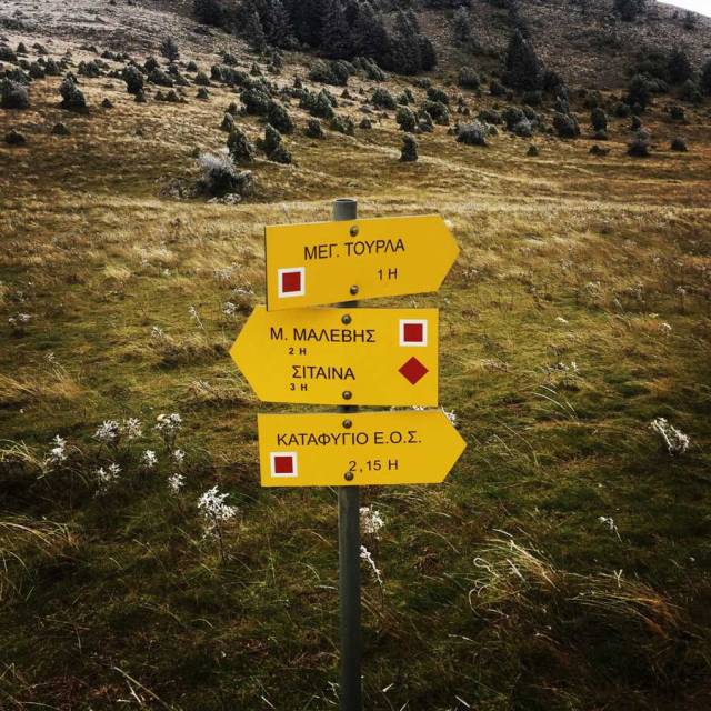
The natural beauty of the mountain and the traditional villages attract many travellers throughout the year. The best time to visit the area is during the spring season when the snow melts and forms small waterfalls. There are many signposted hiking routes which allow the visitor to admire the gorges, the caves, the waterfalls, the springs and the rivers of this amazing mountain. Climbers will love the challenge of reaching the top of the mountain. “Megali Tourla” (1936 m. altitude) can be reached through a large path which crosses an amazing gorge. Parnonas has five gorges Loulougas, Mazias, Zarbanitsas, Spilakion, Lepidas where rare species of flowers blossom. Mazias gorge is the easiest for hiking whereas the Lepidas gorge is very demanding and you will need special equipment and knowledge to cross it.
The name Parnonas existed already since the ancient period and the name meant “the ridge which shines”. During the ancient times the mountain was also called “Kronion” because it was considered to be the sacred mountain of Cronus, who was the leader of the Titans.
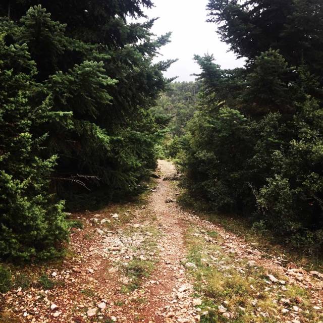
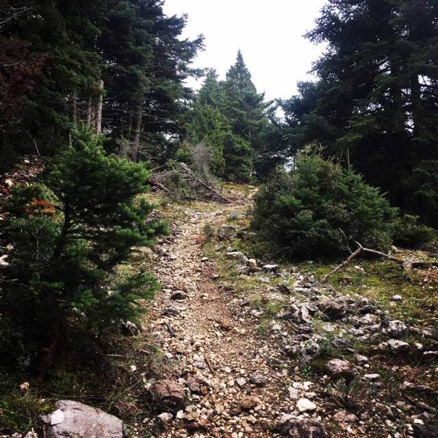
Parnonas is also a very important ecological zone in Peloponnese as it is covered with forests of firs, black pine trees, plane trees etc. Around the monastery of Malevi there is the “Juniperus drupacea” tree forest which is the only one in Europe and has been classified as protected area of the “Natura 2000”.
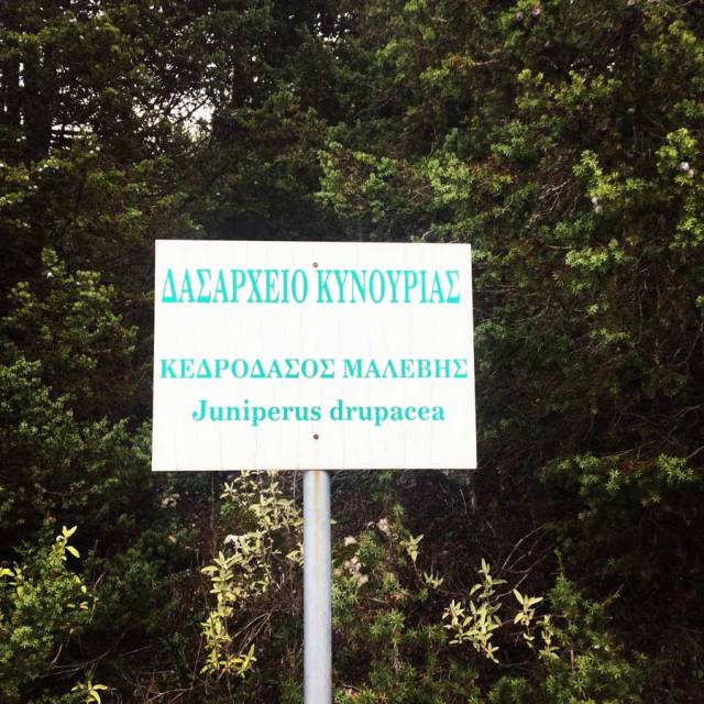
Juniperus drupacea is the tallest species of juniper, forming a conical tree 10–25 m tall, exceptionally up to 40 m, and with a trunk up to 1–2 m thick. It has needle-like leaves in whorls of three; the leaves are green, 5–25 mm long and 2–3 mm broad, with a double white stomatal band (split by a green midrib) on the inner surface. It is usually dioecious, with separate male and female plants.
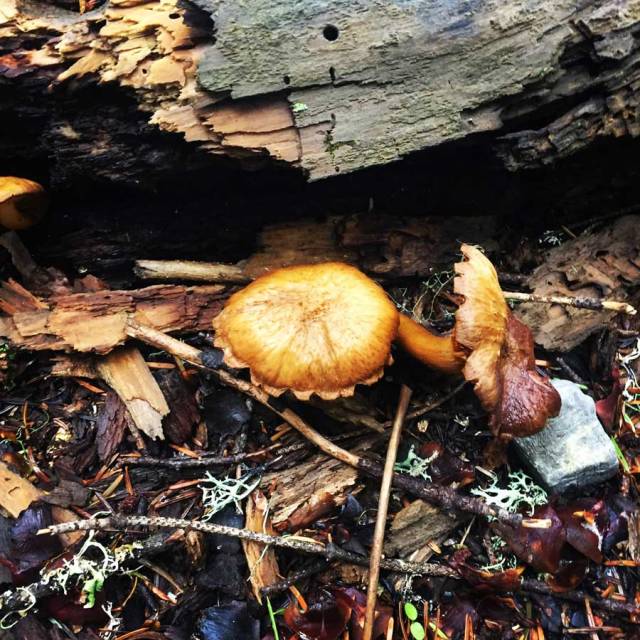
At this mountain there are also many rare species of flora, some of them are known for their healing powers.
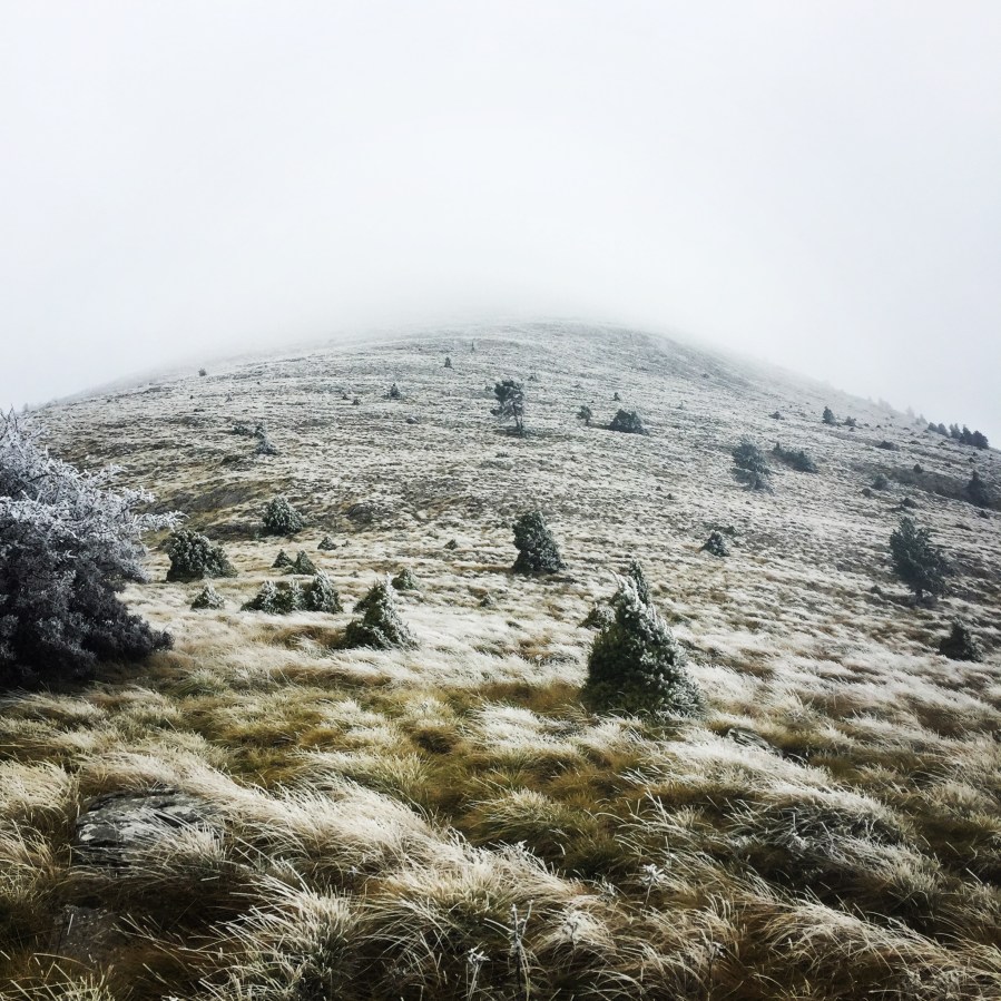
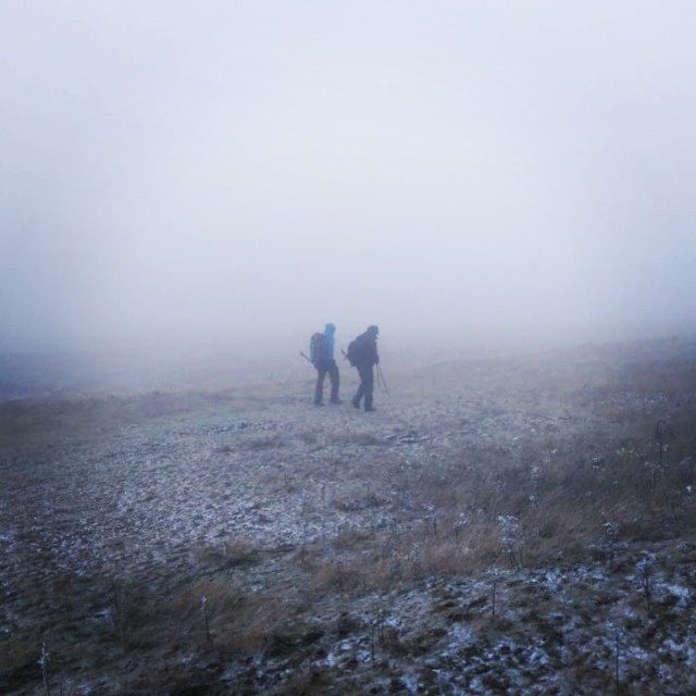
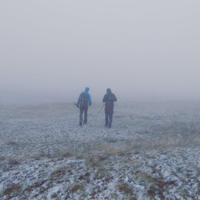
We have been on the trail for about 2 hours and 30 minutes when we have reached the Profitis Elias chapel which is located on the Plateau just bellow the highest point of mount Parnonas, Megali Tourla.
Profitis Elias chapel is the perfect spot for a short break before starting our ascent to reach the peak of Kronion or Megali Tourla. Also, the view of the surrounding environment from there is really beautiful.
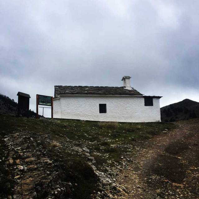
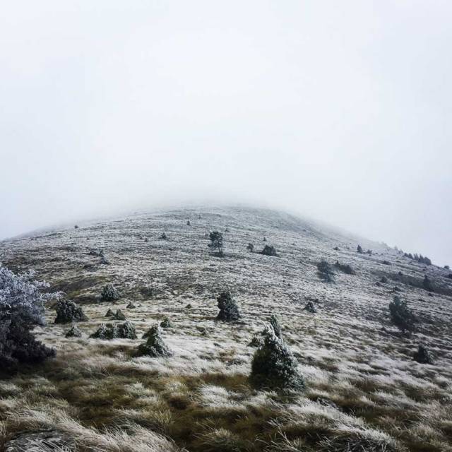
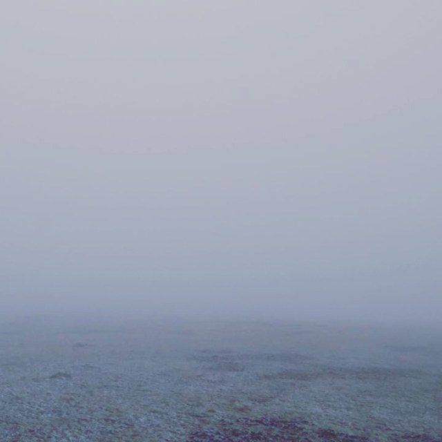
As soon we have reached Profitis Elias chapel, the weather soon changed and it became very windy and it was snowing too. Actually it was like a snowstorm that the frozen snow flakes were hitting us with almost no mercy. Also, temperature on that point was -6 C but in combination with the strong winds, the real-feel was something like -10C.
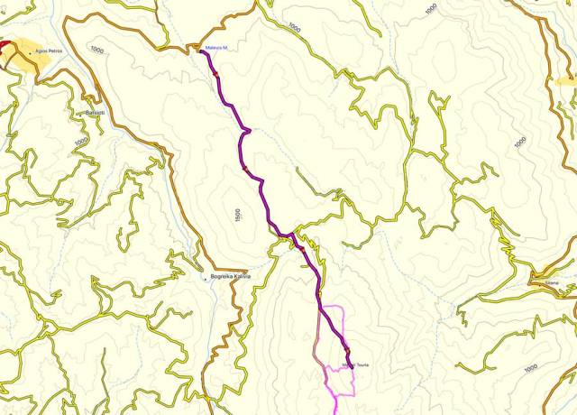
Details of the hike:
- Location: Parnonas Mountain
- Starting Point: Malevi Monastery
- Ending Point: Megali Tourla Peak
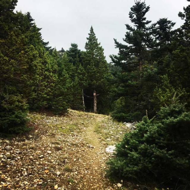
- Trail Signs: Well signed path
- Minimum Elevation: 860 m
- Maximum Elevation: 1.936 m.
- Elevation Gain: 1.076 m.
- Total Distance: 14.3 km
- Difficulty: Easy
- Water Features: Yes
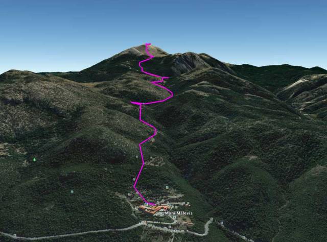
Bellow you can see the route we have followed on a map and on 3D:

Pingback: Climbing in Leonidio – Olympus Mountaineering
Pingback: Taygetus Mountain Crossing Pentadaktylos (Five Fingers) – Anavriti – Tsarkos – Spanakaki – Sidirokastro – Athanati Rachi – Profitis Elias – EOS Refuge – Olympus Mountaineering
Pingback: Trad Climbing on Artemisio Mountain – Olympus Mountaineering
Pingback: Hiking on Mount Mainalo – Tzelati Peak – Olympus Mountaineering
Pingback: Hiking in Parnonas – Sitaina – Russa Petra – Megali Tourla – Profitis Elias – Sitaina – Olympus Mountaineering
Pingback: Hiking in Artemisio Mountain – Artemisio Arête – Post Covid-19 Lockdown – Olympus Mountaineering
Pingback: Hiking in Kilada – Patima Park – Ermionida (family friendly) – Olympus Mountaineering