Having enjoyed some more heavy duty winter mountaineering activities, it is time to do some simple hiking in a rather unexplored area of Greece, Ermioni.
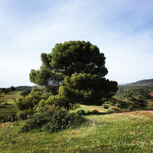
Ermioni is a small fishing town of Argolida (Argolis) at the east of Peloponnese. The traditional taverns, the cafes, the paved streets, the beautiful houses and the crystal clear beaches around this area are some of the reasons this town is an interesting summer destination of Peloponnese. While travelling around this area you will have the chance to admire the olive and the pine trees and plenty of bays with turquoise water.
Wandering around this town you will definitely feel like you are on an island. You can walk on the paved streets until the slope of the ancient hill “Pronos” where you will find the beautiful chapel of Agia Kiriaki. When you arrive at the chapel you will be rewarded with the beautiful view of the sea and the plains where olive trees, citrus trees and pomegranates are cultivated. Ermioni, besides being a very picturesque town is also the harbour that leads to Hydra island and not far from there, one can find Spetses island too.In this area there are several -mostly unexplored- hiking routes and the main ones are the following:
- Ermioni – Katafyki Gorge
- Ermioni -Monastery Agioi Anargyroi – Agioi Theodoroi – Pikrodafni – Ermioni
- Pikrodafni – Crow Hill – Pikrodafni
- Ermioni – Malibardi – Profitis Elias – Kranidi
- Mount Didimo
(Notice: some of these hiking routes where explored on my own initiative, thus there is not any clear description on hiking maps of the area)
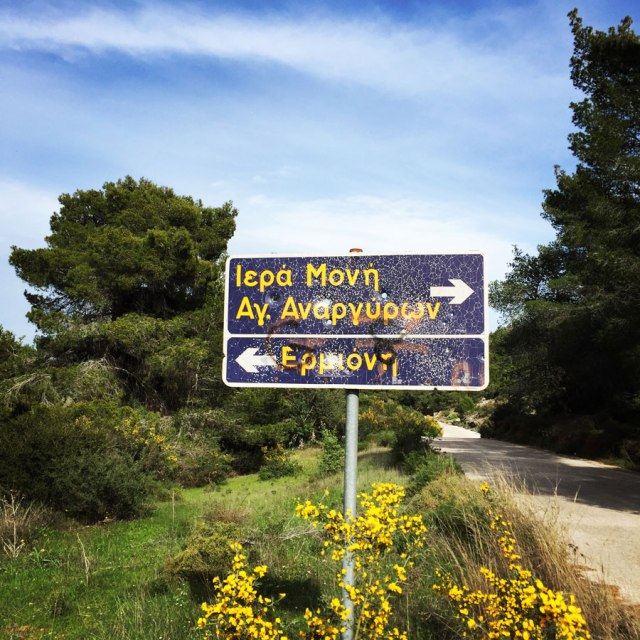
Ermioni – Monastery Agioi Anargyroi – Agioi Theodoroi – Pikrodafni – Ermioni
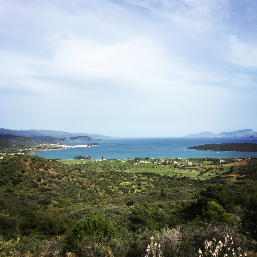
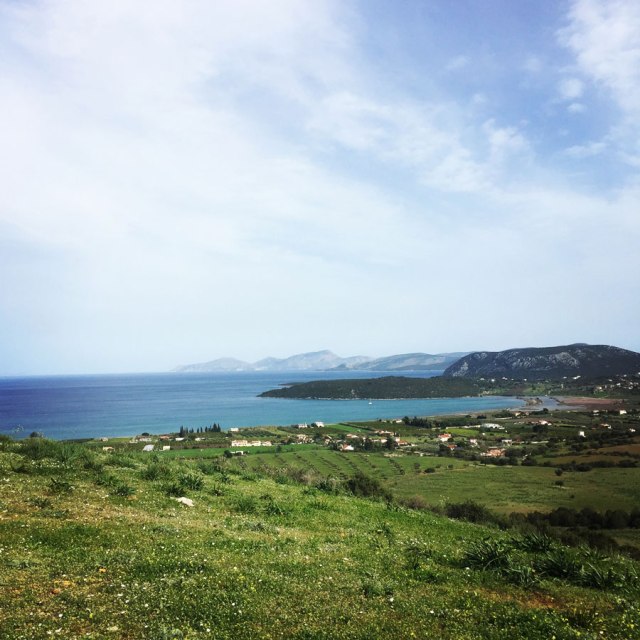
This is a very interesting route that starts from the small town of Ermioni and moves along the coast line of Ermioni’s peninsula. This first part of the route is on paved road, but the views are really nice. One can easily see the island of Hydra and the deserted island of Dokos.
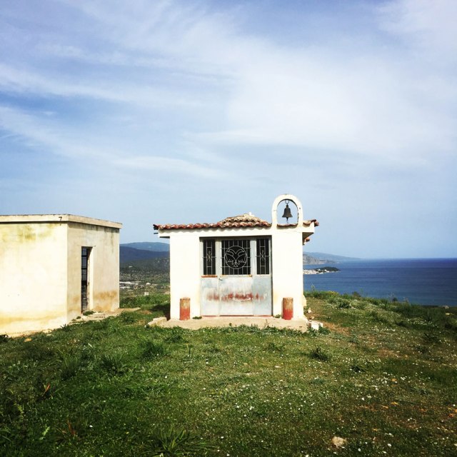
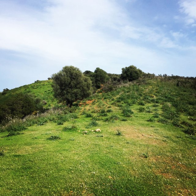
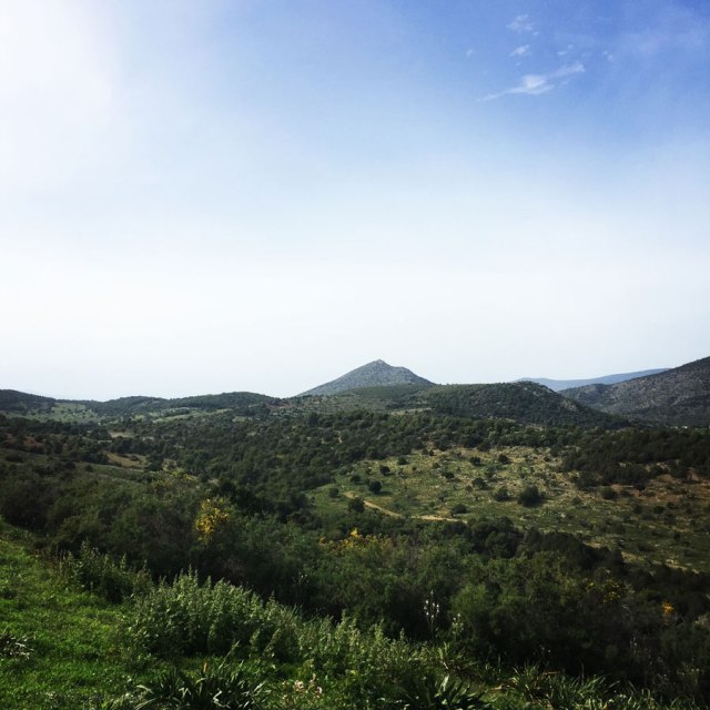
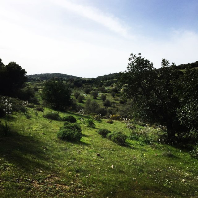
Once we reach the monastery of Agioi Anargyroi, we enter into the actual trail which has been used for decades from the local shepherds in order to lead their herd of goats around the area. This is the first steep part of the trail and at the top of the hill we will find the little chapel of Agioi Theodoroi. Once at the top of the hill, the view is wonderful and if it’s a clear day, one can enjoy the stunning surrounding environment and the Argosaronic sea.
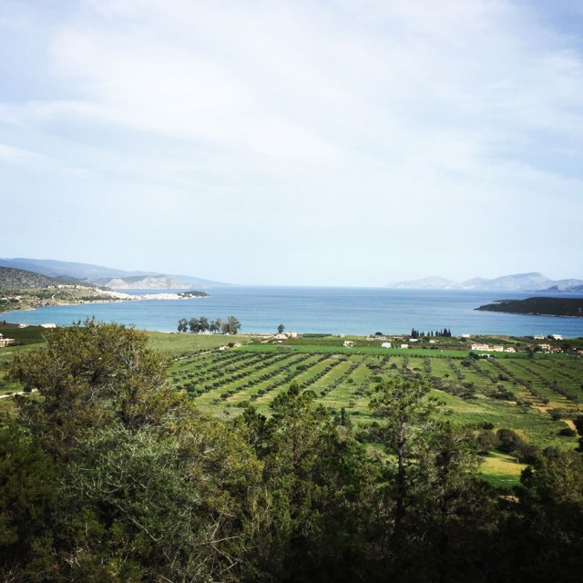
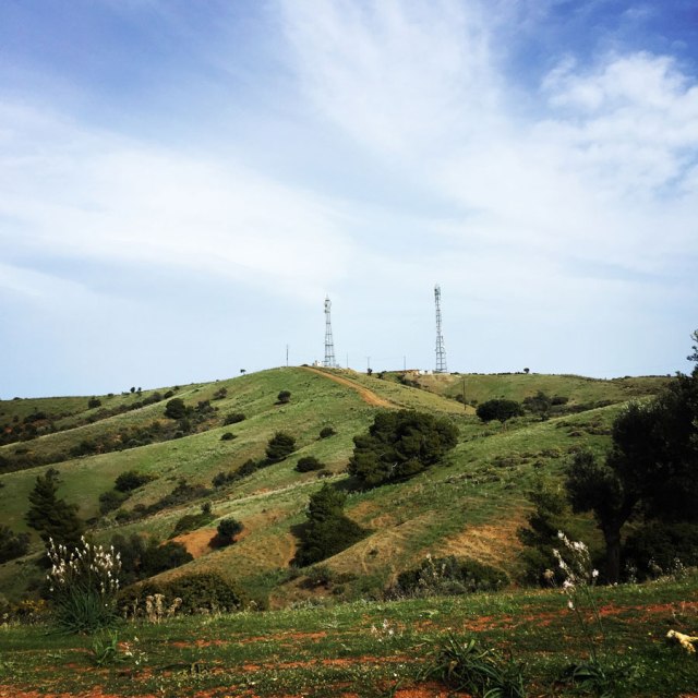
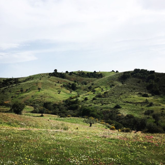
Having reached Agioi Theodoroi chapel, half of the altitude gain is accomplished. Although the total altitude gain is not big, the steepness of the hills can cause exhaustion if the hiker is not trained with moving uphill. The second hill we needed to go uphill is the so called “The Antennas”, which is named after the TelCo antennas that were placed on top of this hill. The trail moves through majestic green fields with colourful flowers and of course always in contrast with the blue Greek sky and the blue of the Agean sea.
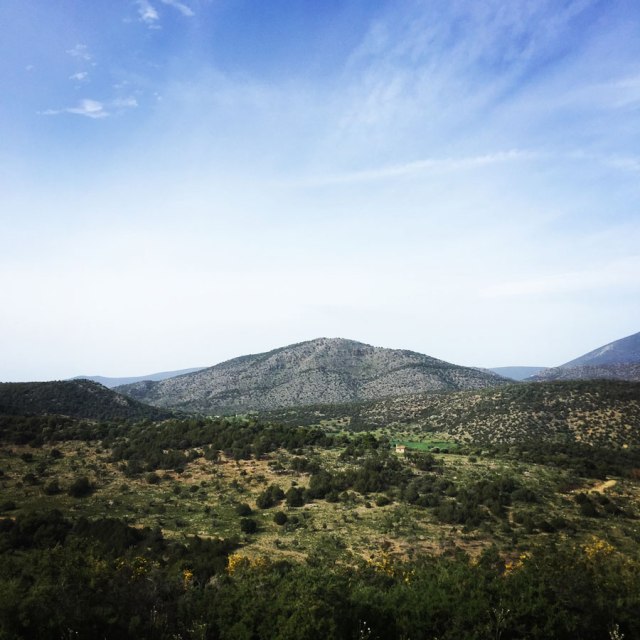
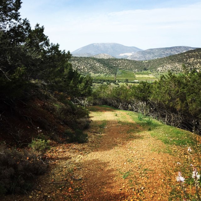
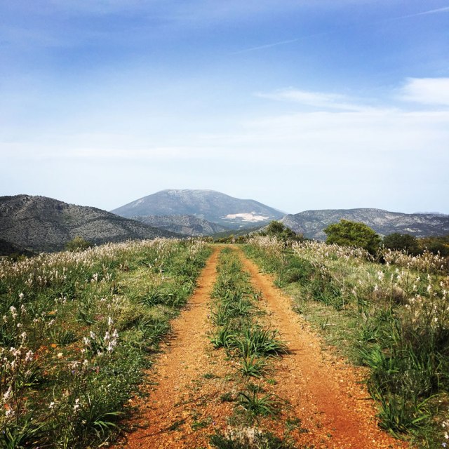
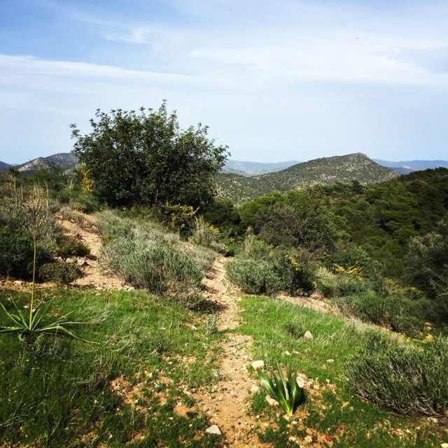
From the top of this hill, we can clearly see the Profitis Elias peak, Malibardi peak and also Mount Didimo peak. In addition, the hiker can see the nearby town Kranidi.
Kranidi is a town and a former municipality in Argolis, Peloponnese, Greece. Since the 2011 local government reform it is part of the municipality Ermionida, of which it is the seat and a municipal unit. The municipal unit has an area of 252.938 km2. Some say the name is derived from the word Koronida, while others claim it is from the word Kranaos, which means “rocky trough”. It is situated in the eastern part of Argolis, on the easternmost “finger” of the Peloponnese peninsula. It is 8 km west of Ermioni, 28 km south of Epidaurus and 38 km southeast of Nafplio.
Kranidi is known for being the location of second homes of several prominent shipping magnates, celebrities, including Sean Connery and the Dutch head of state King Willem-Alexander and his wife Queen Máxima.
Kranidi has traditionally been a prosperous town. In the 19th century it was an important trading centre. The activity on maritime area was also great. Characteristic of the town are the traditional stone mansions with beautiful balconies and special skylights. Beautiful buildings include the town hall, library and churches from the 19th century that are scattered throughout the area.
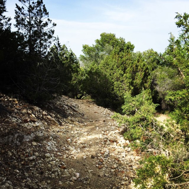
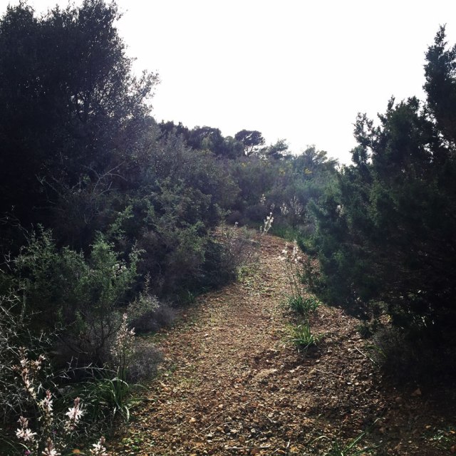
The last part of the trail moves into a beautiful pine forest and on the sideline of a dry creek. In fact, the dryness of this area is perhaps the only negative aspect for the hiker because there is not any water fountain and/or any other place to refill with water. Therefore, I highly advise to not hike during summer months in this area because the atmospheric temperature can be rather high (C 35+) and almost the entire trail is exposed to the sun.
Another option for this route is to use it a a trail run training. It’s only 12,5 kilometres with enough elevation gain and enough trail paths.
Details of the Hike:
- Location: Ermioni, Argolis
- Starting Point: Ermioni
- Ending Point: Ermioni
- Trail Signs: No Signs (easy to identify the route)
- Minimum Elevation: 0 m
- Maximum Elevation: 190 m.
- Total Distance: 12.5 km
- Difficulty: Easy
- When to Hike: It can be rather hot during summer months. Better to hike this route during Autumn, Winter or Spring time
- Water Features: None
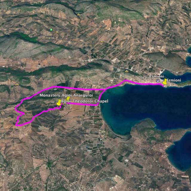
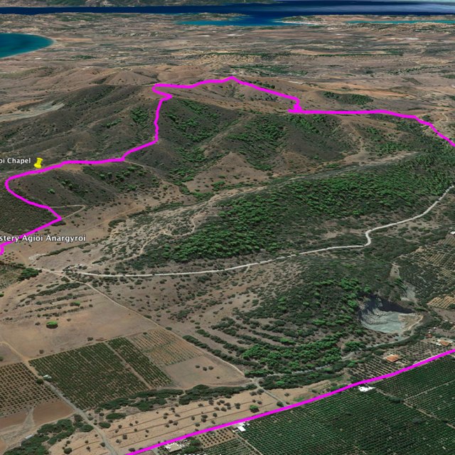
Bellow you can see the route we have followed on a map and on 3D:
see more hiking routes here:

My favorite view: Trail and Mount Dimimo. It reminds me of a similar road high above Death Valley in California, Also, did you mean: “Therefore, I highly advise to hike during summer months in this area because the atmospheric temperature can be rather high (C 35+) and almost the entire trail is exposed to the sun.” Or did you mean ‘not to hike during summer?’ Thanks for the overview. –Curt
LikeLike
You are right Curt! Thanks for correcting me. I was meaning “not” to hike during summer time.
Thanks for pointing this out.
LikeLike
You are welcome…
LikeLike
Pingback: Hiking in Ermionida – Ermioni – Kranidi (Argolis) Part 03 | Katafyki Gorge – Olympus Mountaineering
Pingback: Hiking in Ermionida – Ermioni – Kranidi (Argolis) Part 04 | Grand Traverse Mikrovouni – Asprovouni – Profitis Elias – Olympus Mountaineering