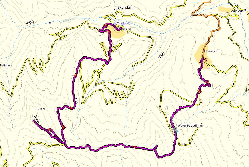
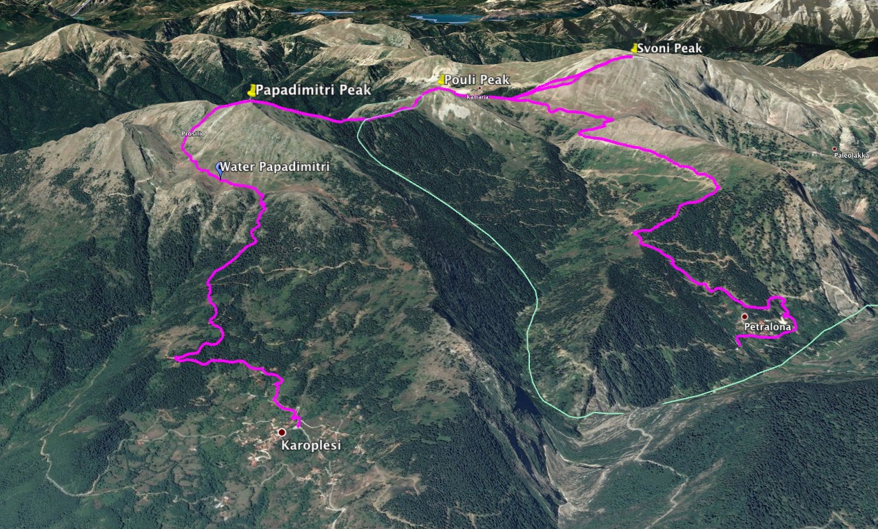
Almost at the end of the eleventh month of the year and this time, we have decided to visit one of our favourite regions of Greece and specifically the Agrafa mountains. The route we have decided to do is the following: Karoplesi village – Papadimitri Peak (1.930 m) – Pouli Peak (1.846 m.) – Svoni Peak (2.042 m) – Saika Village, all situated in the Agrafa region of Karditsa.
Agrafa is a mountainous region in Evrytania and Karditsa regional units in mainland Greece, consisting mainly of small villages. It is the southernmost part of the Pindus range. The Agrafa region is famous for its complete autonomy throughout the entire 400 years of Ottoman Turkish occupation of Greece. The word agrafa literally translates to unwritten which means unregistered or uncharted; because the Ottomans were unable to conquer this region, the area and its population were not recorded in the Sultan’s tax register. As a result the people were usually free to conduct their business and customs as they pleased without Ottoman influence.

See previous Hiking and Mountaineering ascent in the Agrafa region here:
Explore all outdoor activities in a convenient list view here
KAROPLESI – PAPADIMITRI PEAK
It was early morning hours and still dark outside our tents. We got up around 5.45 in the morning, prepared morning coffee, packed our backpacks and at 6.30 we were ready to depart from Karoplesi.
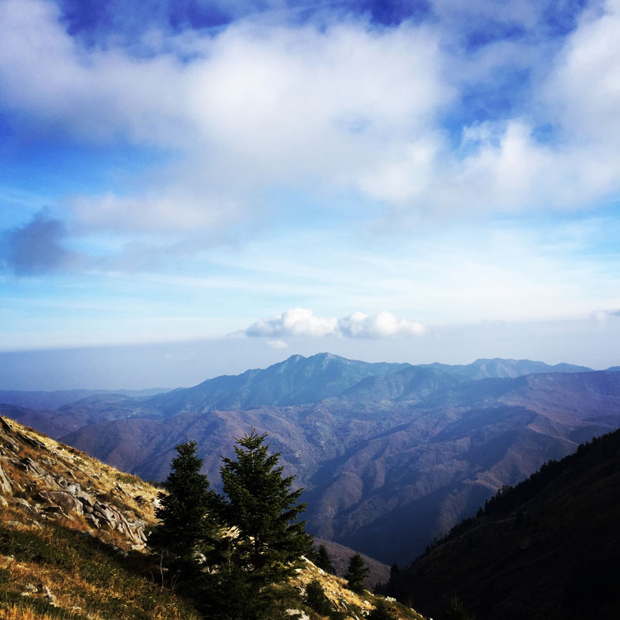
Karoplesi is a very beautiful area very near Plastiras Lake, south of Kastania. The green Itamos, the mountaintops og “Koimomeni” (sleeping lady) and the formations of the rivers crossing the area create an extremely beautiful landscape, a huge ecological park with many changes, abundance of vegetation and rich flora.
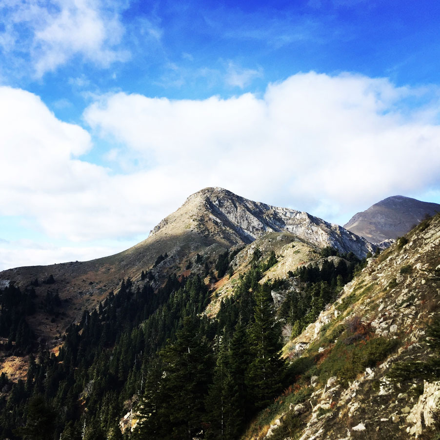
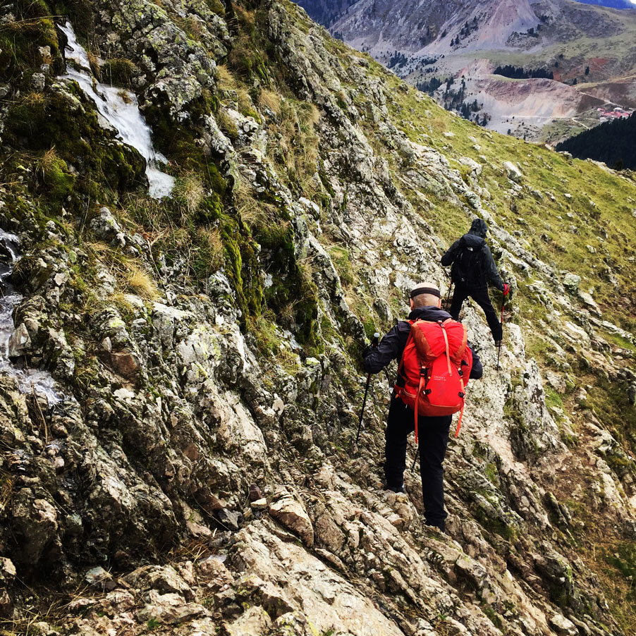
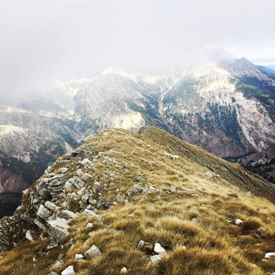
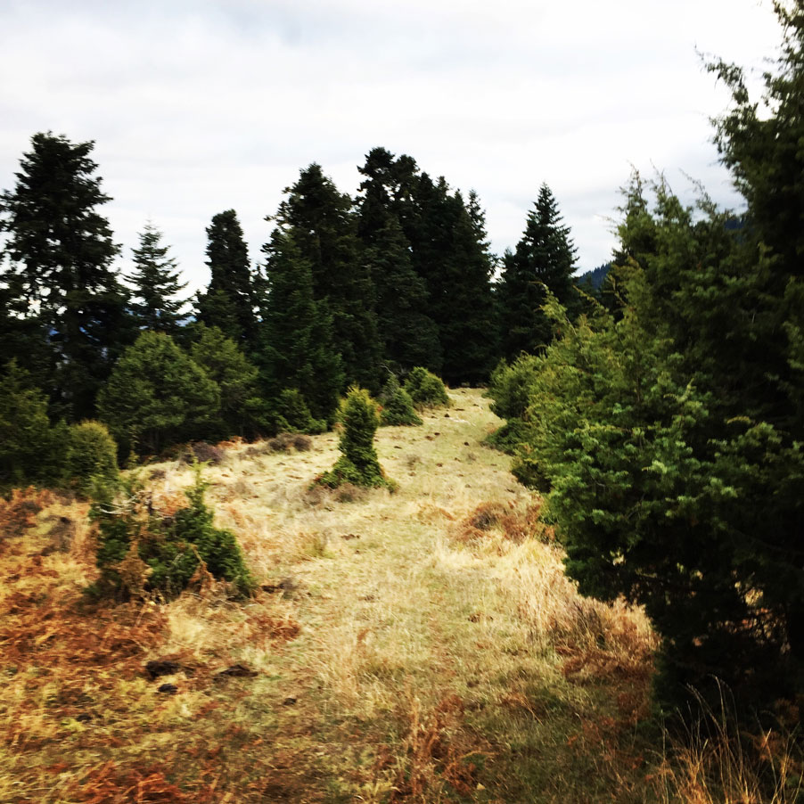
Our route starts from the central square of the Karoplesi village. The first part of the trail is on a dirt road that is used by the locals in order to reach their farms higher on the mountain.
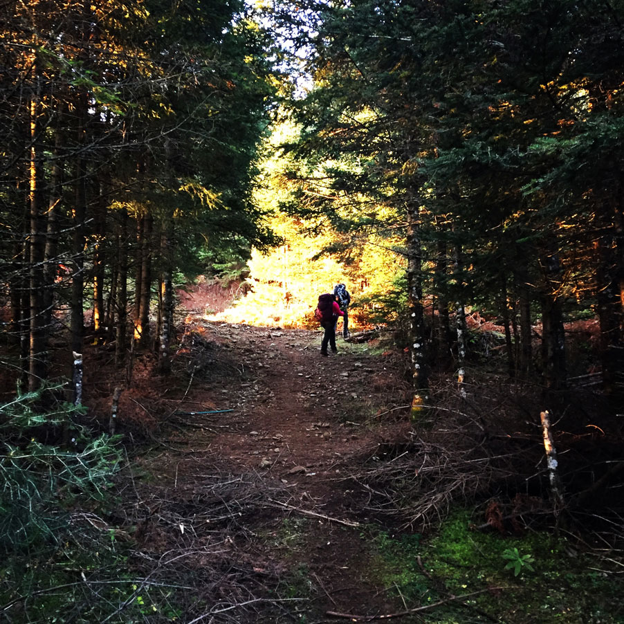
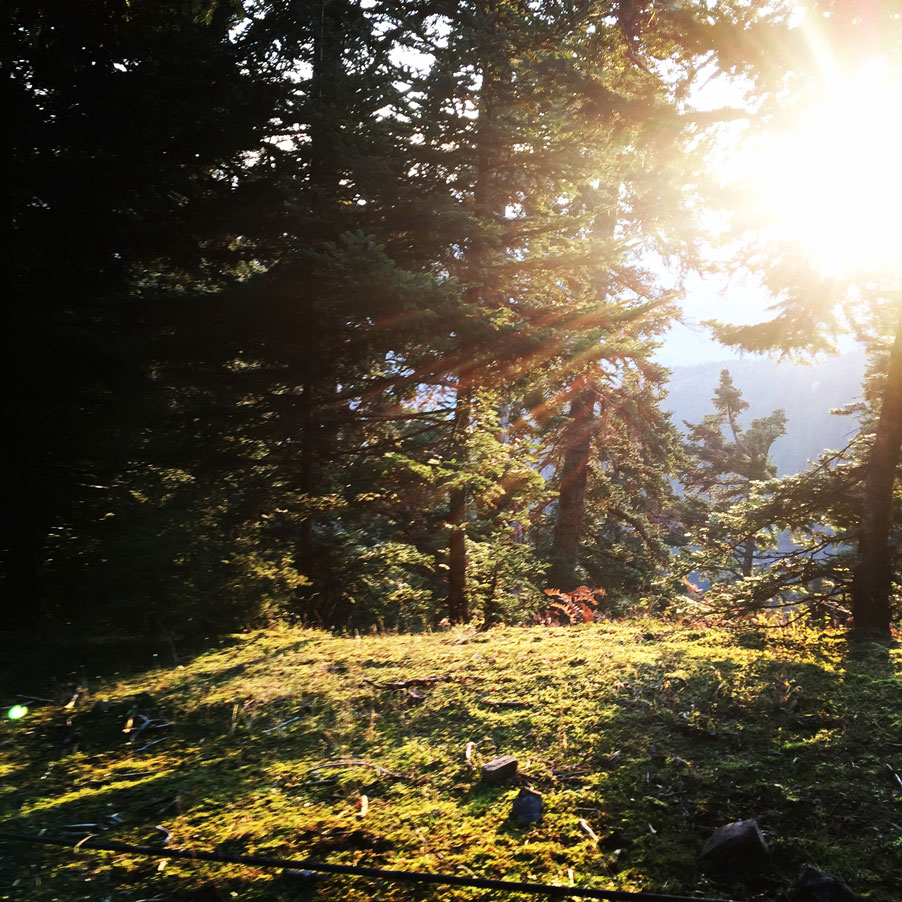
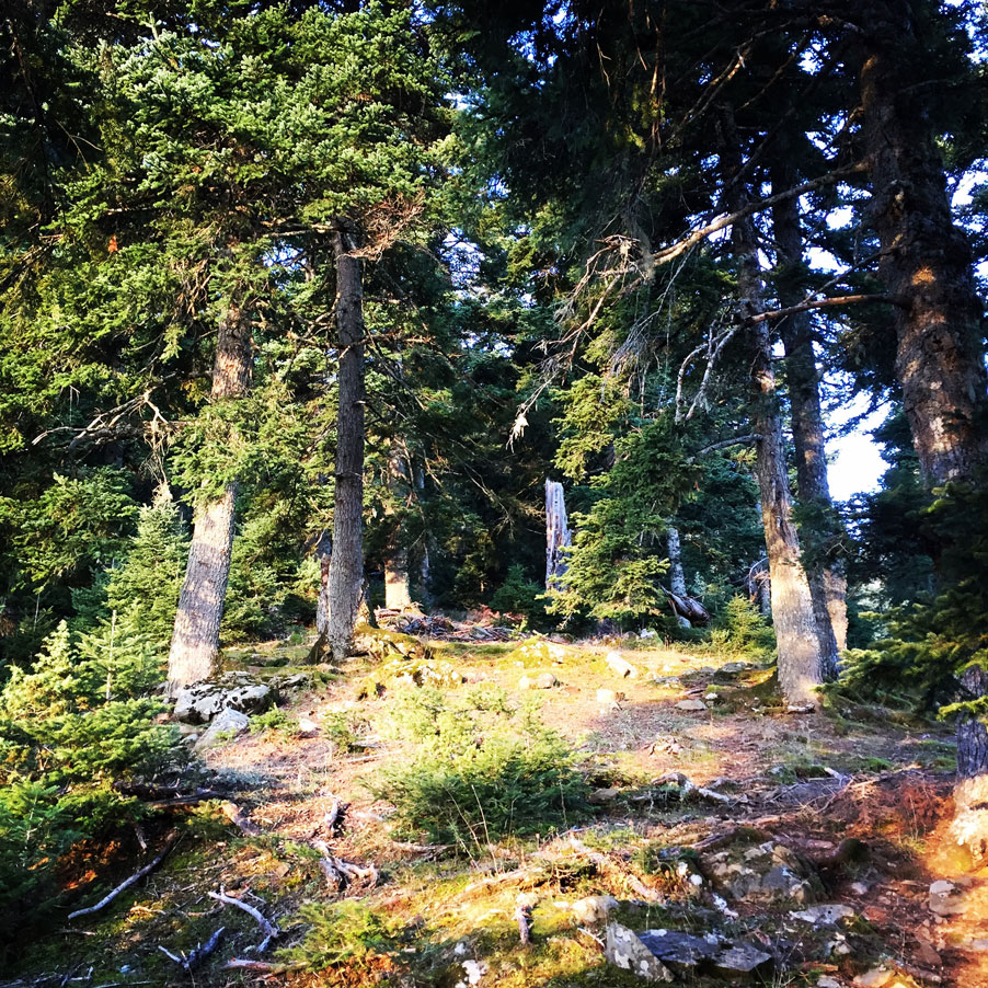
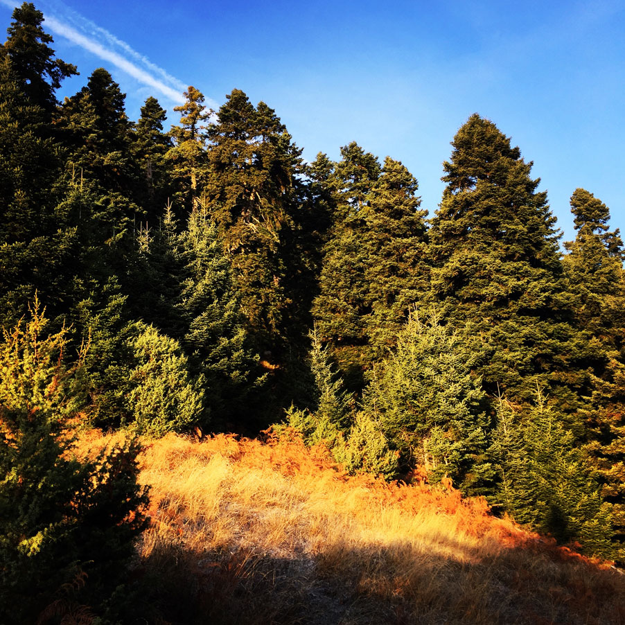
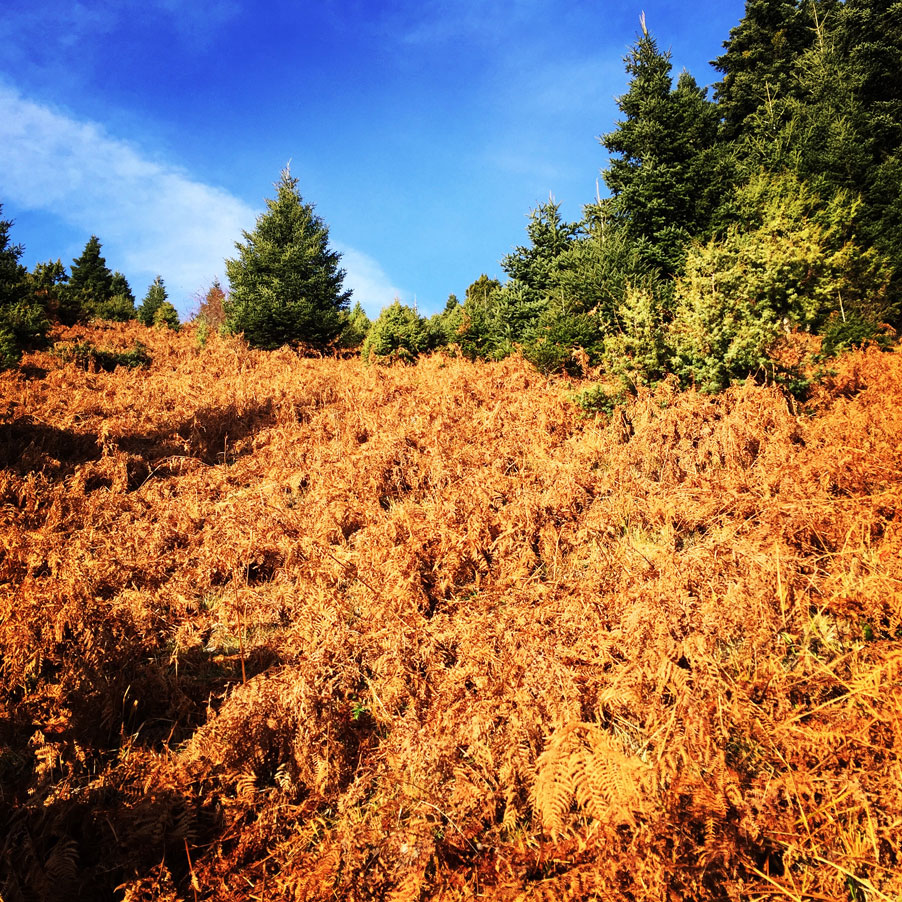
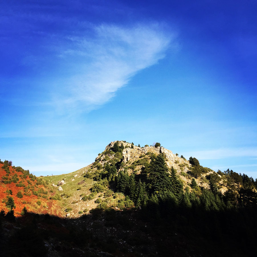
We have spent the first hour hiking within a beautiful pine forest with great views. Also, we had to cross several semi-alpine fields of dried fern. In this time of the year, it is normal to have such dried fields, and despite being dried out (due to the hot summer), these fields are still beautiful.
The visitor of this area, has to be aware the specific path is NOT well signed. Basically, there is just one single trail-sign, which obviously is not enough. Therefore, the use of a GPS device with a pre-loaded GPX file with the entire route is suggested, if not mandatory.
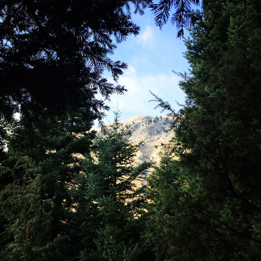
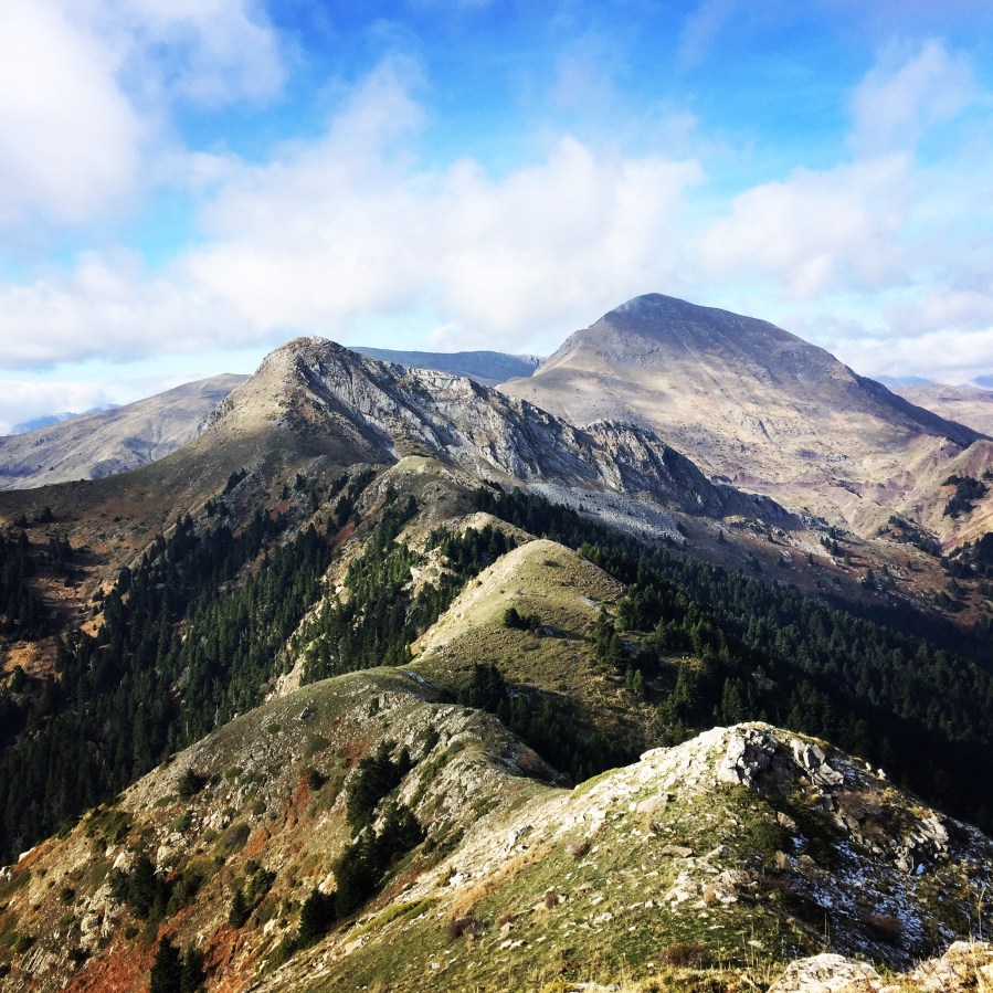
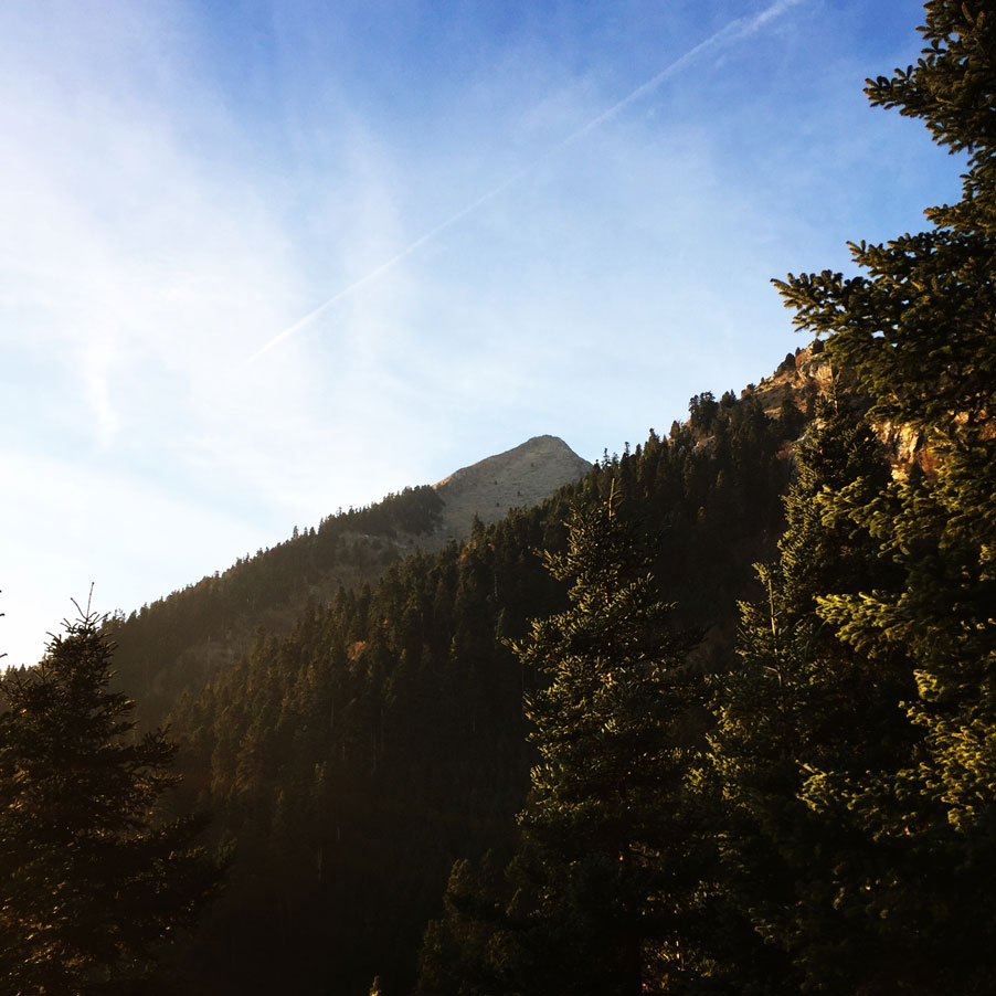
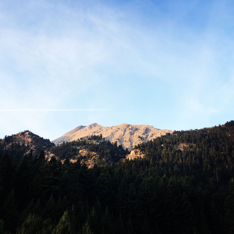
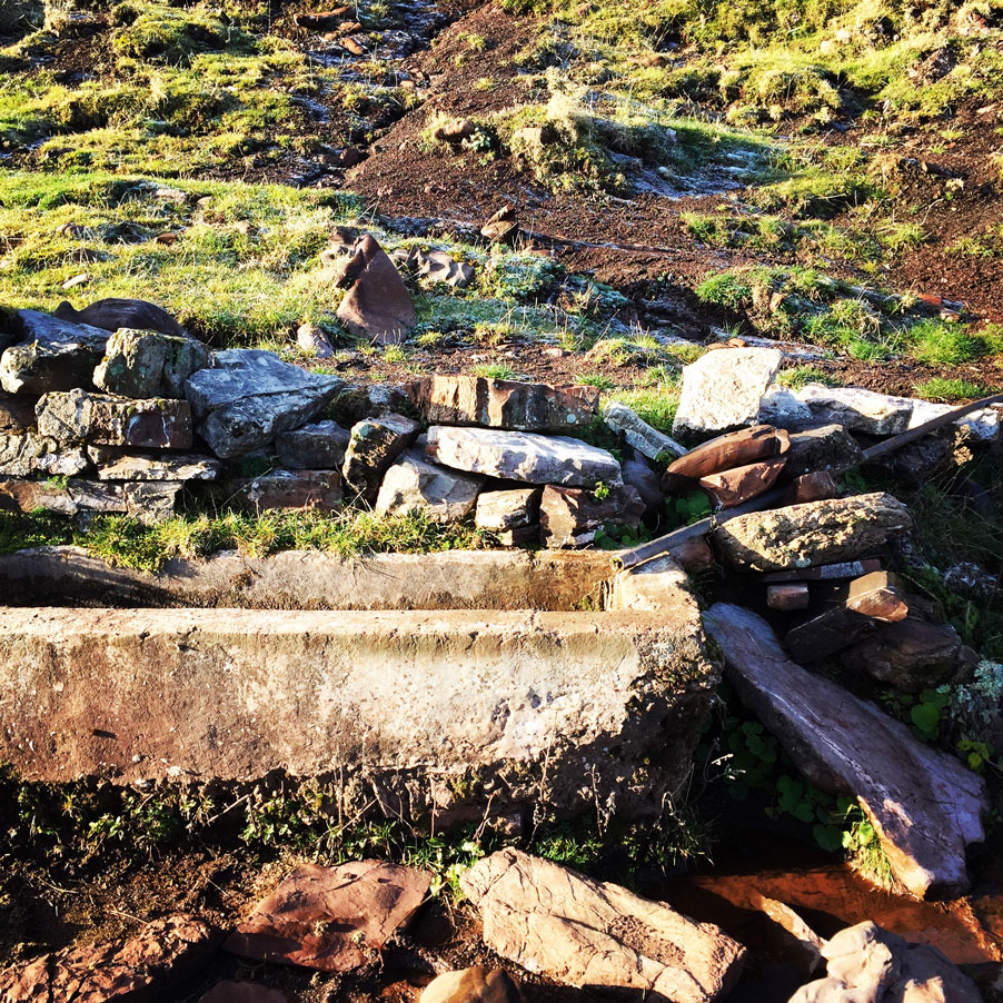
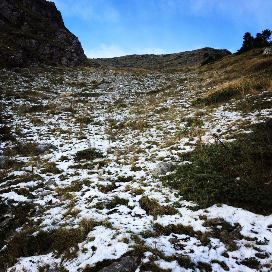
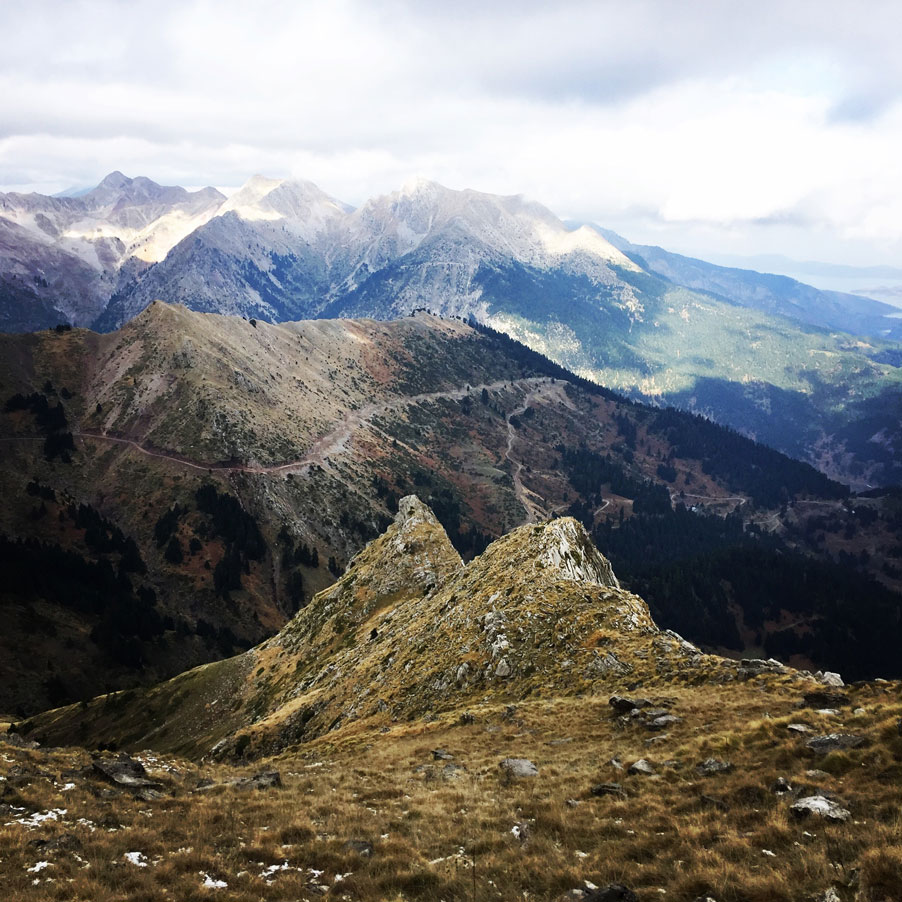
We have been around 90 minutes on the trail and we reached the alpine level of the mountain. On that point, we came across two springs of water. The first one did not have any water, but around 500 meters further on the trail there was a second spring full of icy cold fresh water (N39° 09.277′ E21° 44.893′ and 1.495 m.). There was also our first short break for some water. From that specific spring we could see the Papadimitri peak (1.930 m.), but also surrounding peaks of the Five Towers and Flitzani.
Support the journey — buy me a coffee
I share these articles and the climbing guidebooks because I love the outdoors, and they’ll always be free. If they’ve helped you, help me keep them coming. Click the button to support my work.

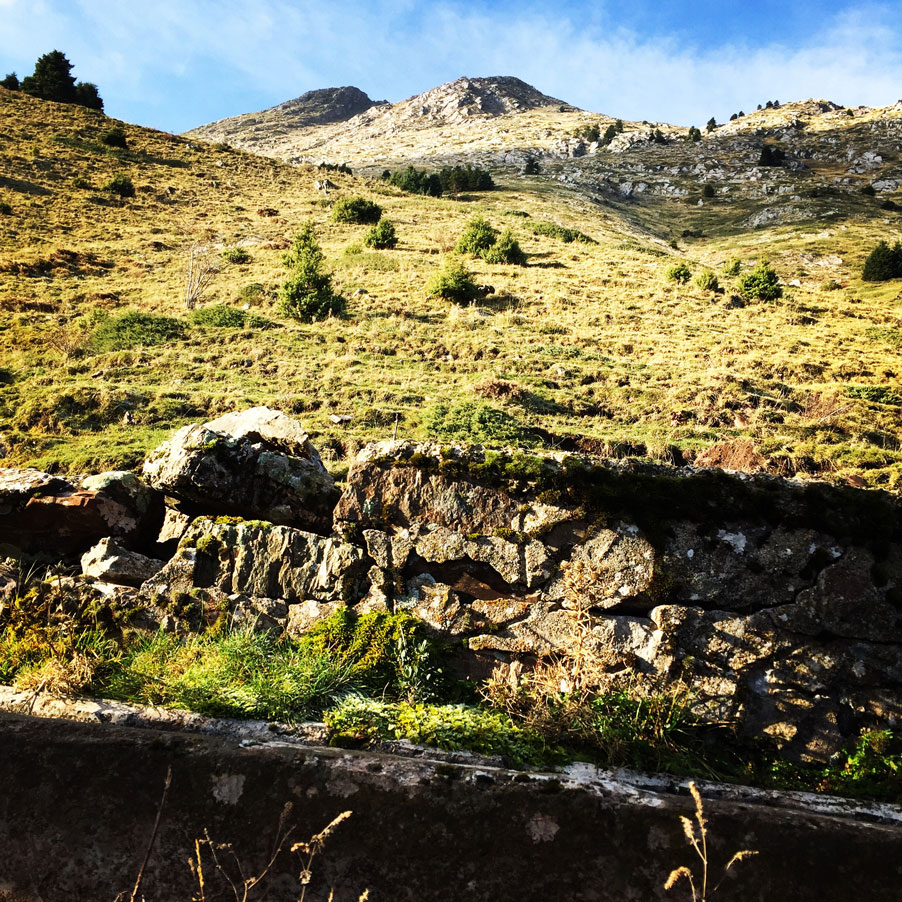
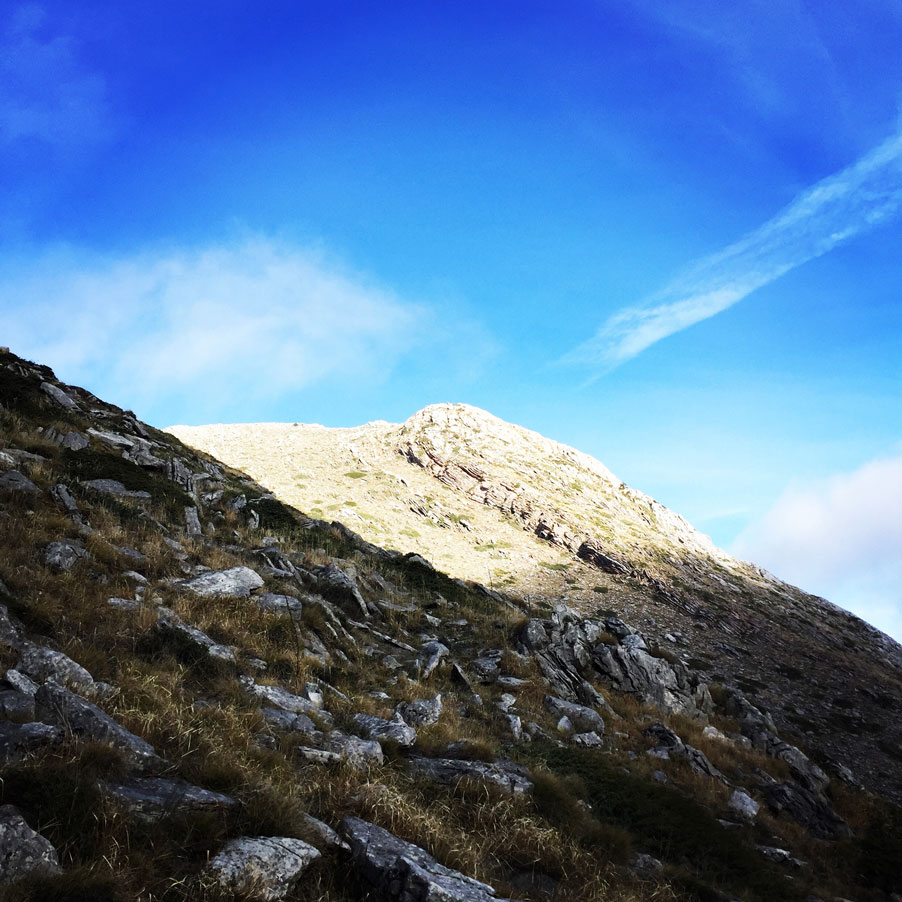
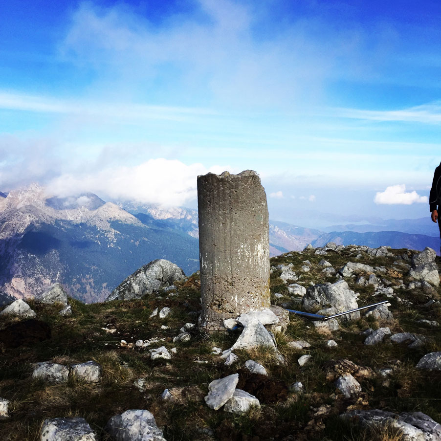
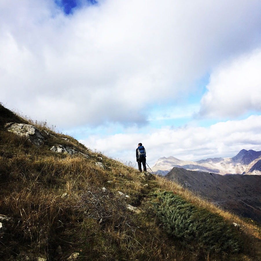
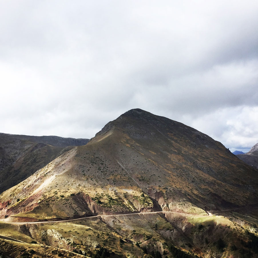
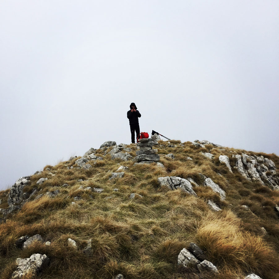
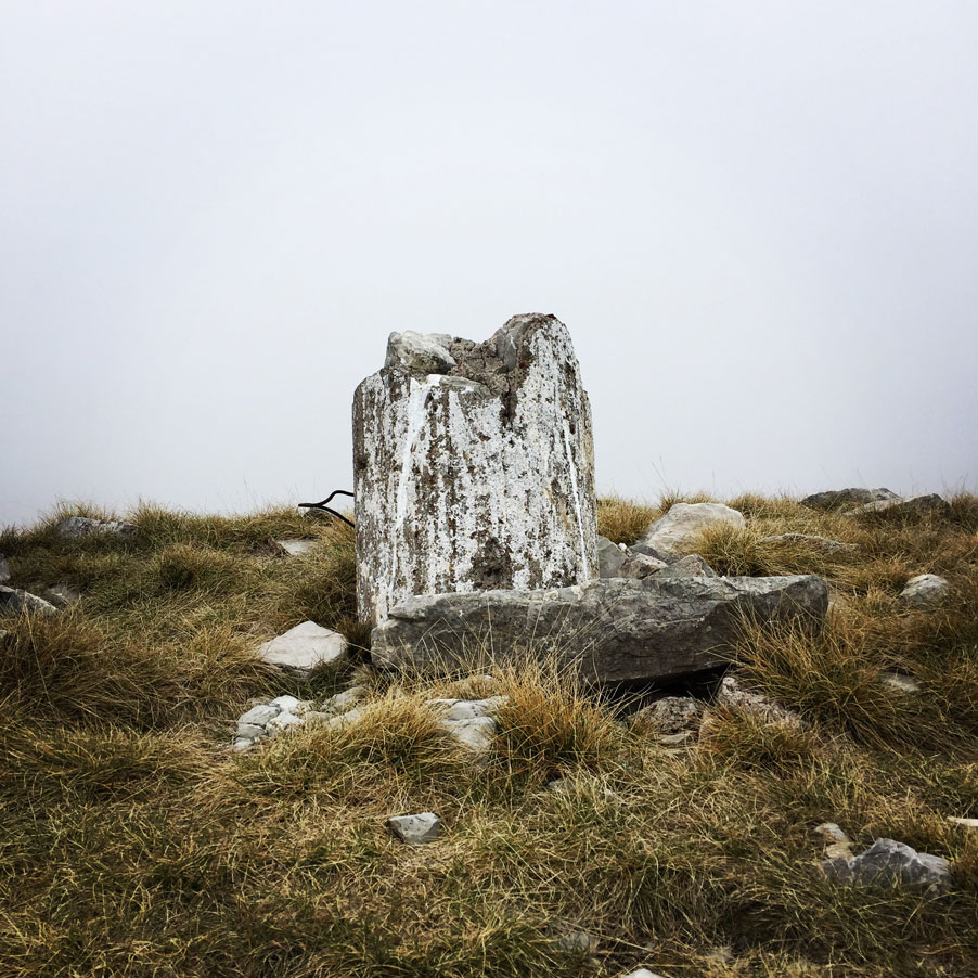
After the short break in the only water fountain (with fresh water) we have found in our route, we continued in order to reach the first of the three peaks we had in our planning. The first peak, was Papadimitri peak which is 1.930 meters above sea level. Papadimitri peak, is not a well know Greek mountain peak, nevertheless it is a great destination point for every mountaineer and/or hiker. This peak, was named after a priest (of the nearby village Karoplesi) that passed away while he was hiking on this mountain.
From Papadimitri peak, one can see many other surrounding peaks, but also plenty of mountain ridges that can decide to explore. While ascending to the top, we have also seen a bit of snow from the previous night’s snowfall. Though, the snow was not enough and due to high-temperatures for the season it melted.
PAPADIMITRI PEAK – POULI PEAK
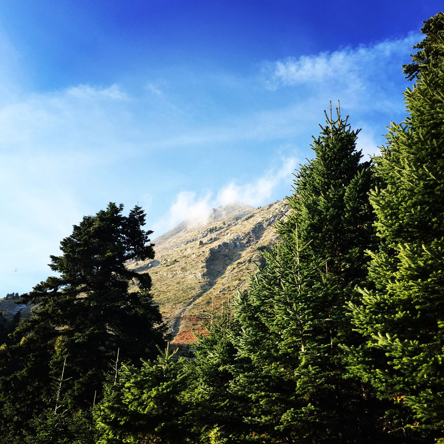
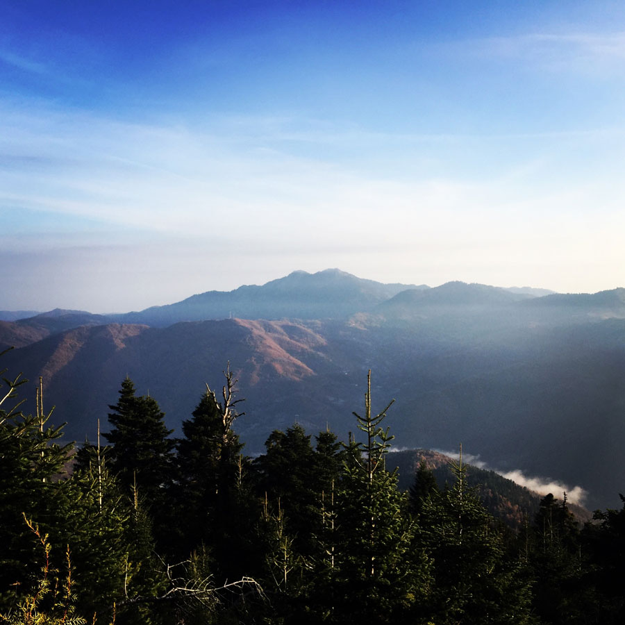
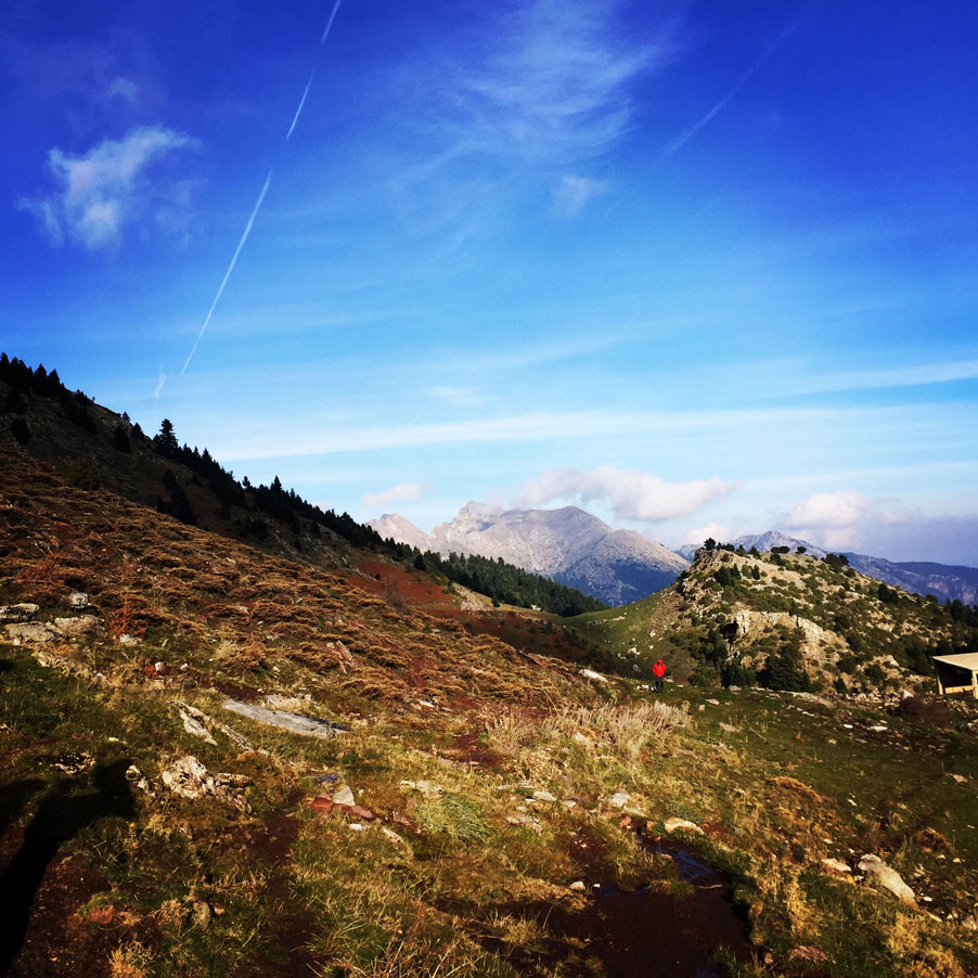
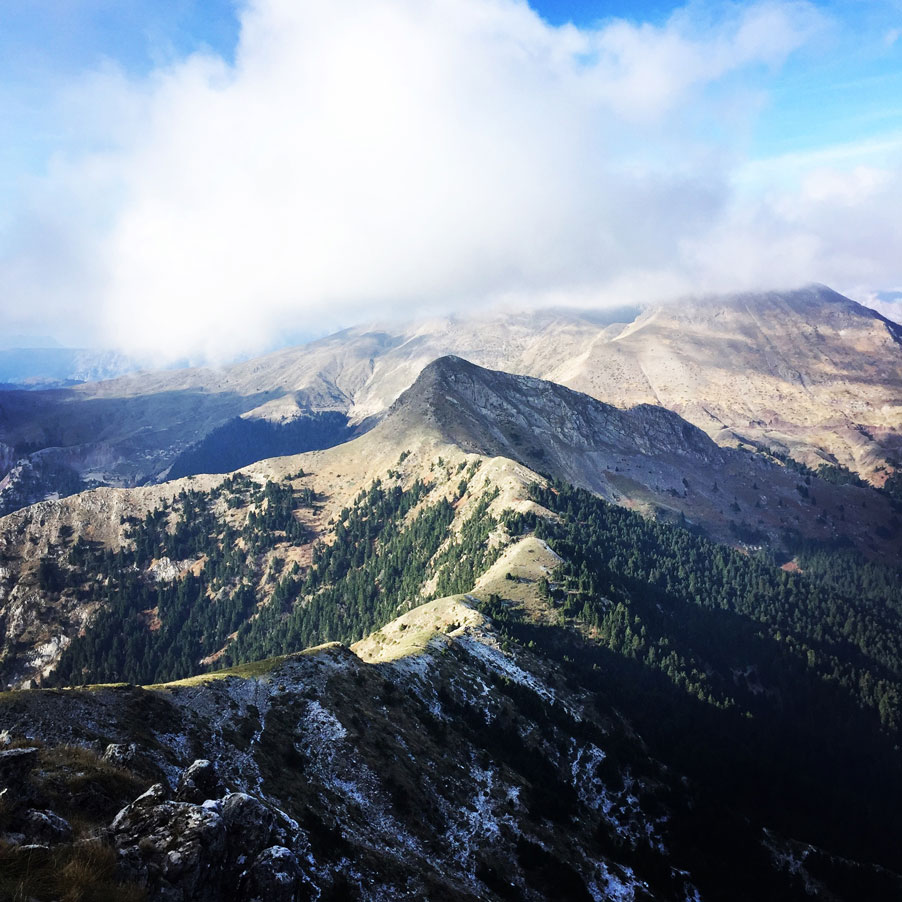
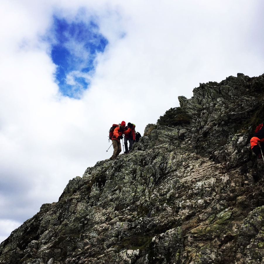
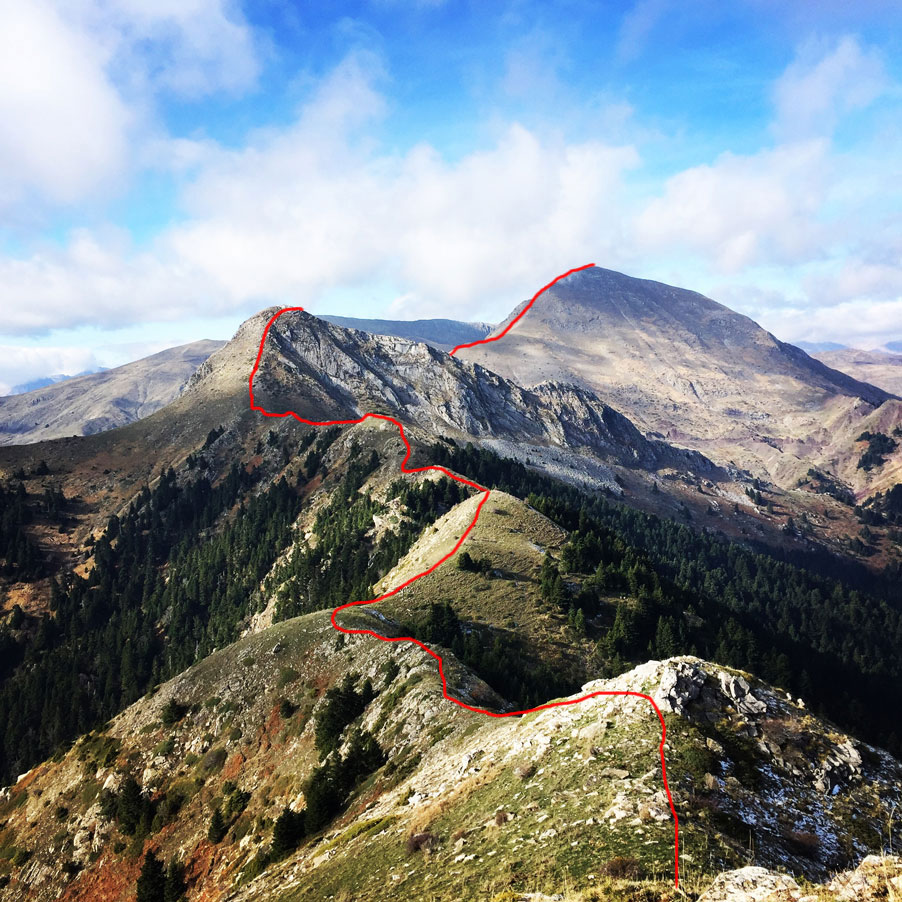
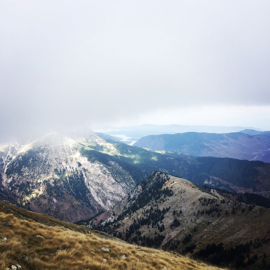
Once we reached Papadimitri peak, we took a short break from a quick snack, but most of all in order to enjoy the stunning view. From there we could see many other peaks, such as Five Towers, Flitzani, Svoni, Itamos and of course Pouli peak that was out next destination point.
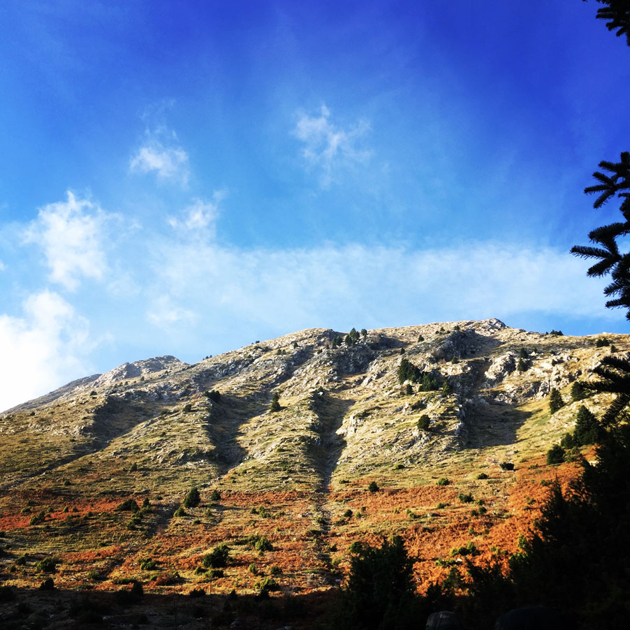
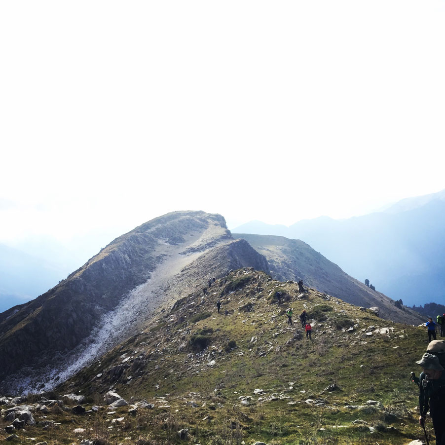
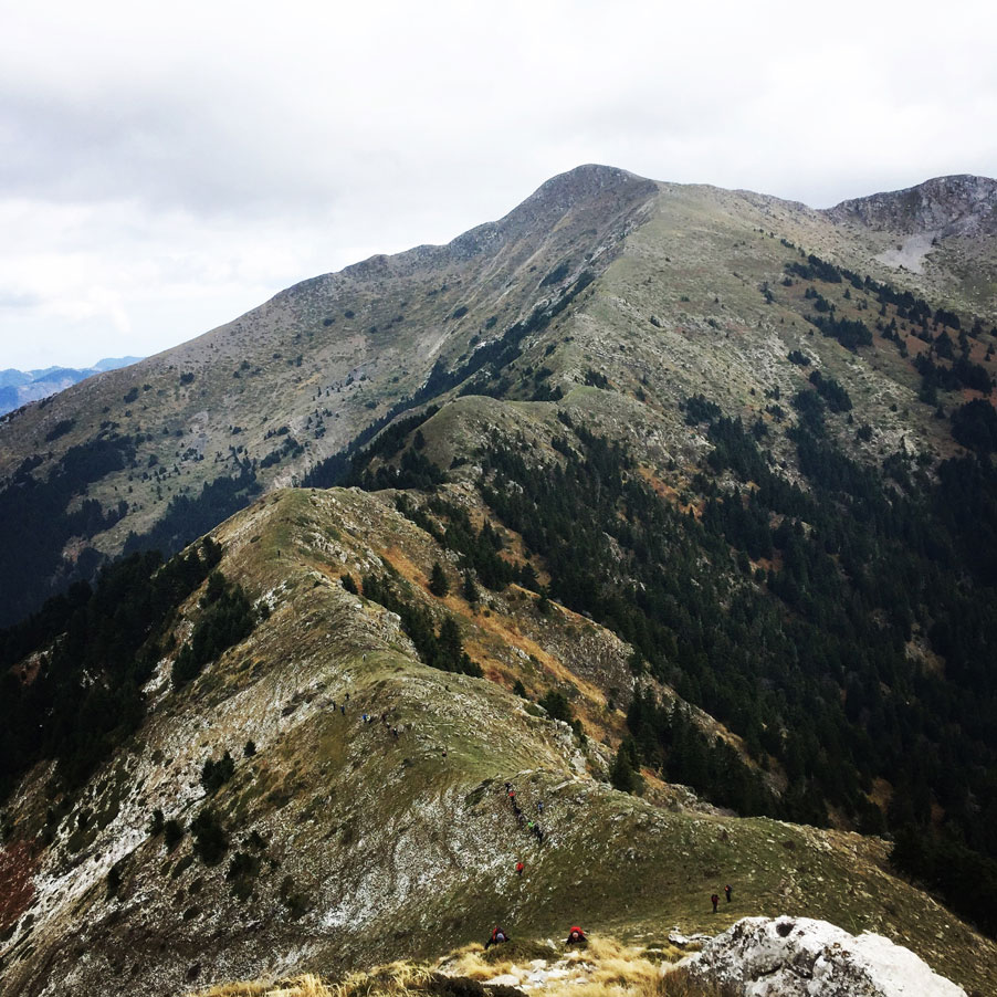
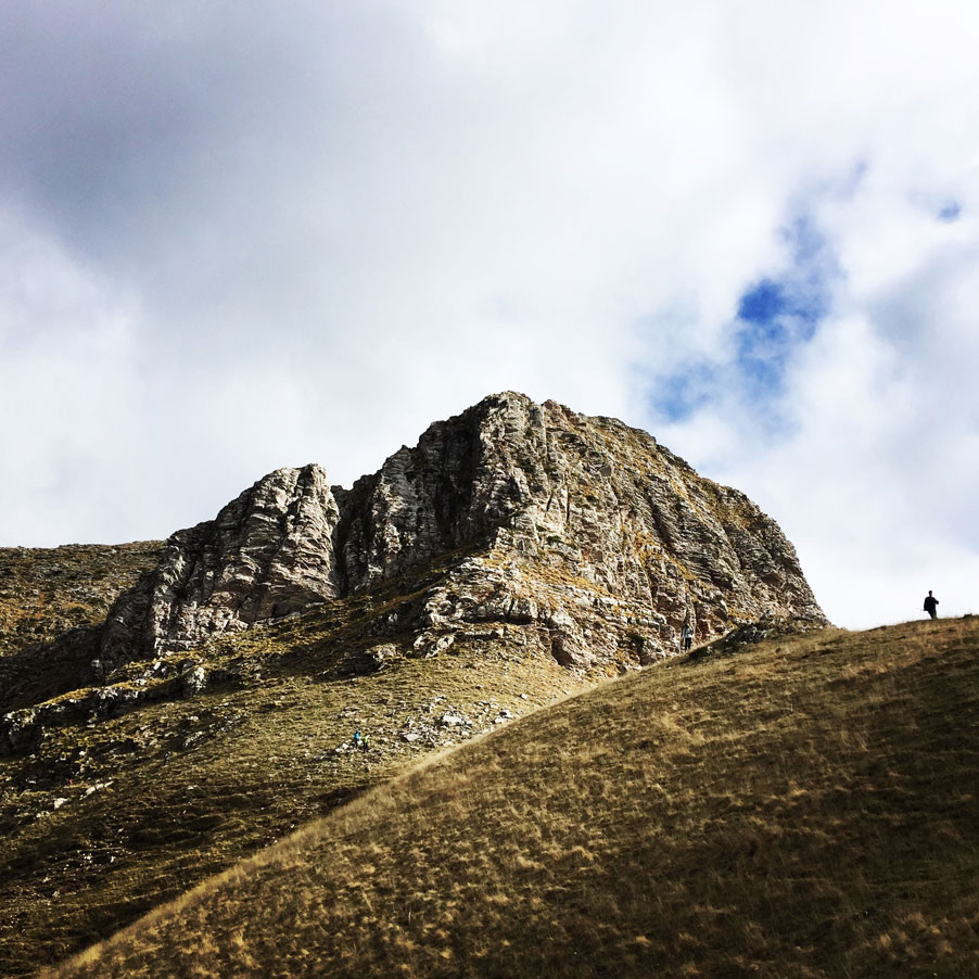
From Papadimitri peak, we can continue to the top of Pouli peak. We descend towards the ridge, located to our west. Down-climb is very easy. Next, we faithfully follow the ridge until we reach the bottom of the Pouli peak. The route here is beautiful and the visitor has the opportunity to see southern, eastern and western Agrafa at the same time. The last piece is a bit steep, but not dangerous.

Check out more FREE Guidebooks
Download now for free! Explore breathtaking landscapes and conquer thrilling heights with our collection of guidebooks and topos.
Don’t miss out on this opportunity to elevate your outdoor adventures. Click, download, and let the exploration begin!
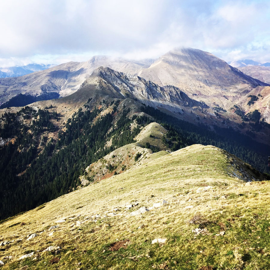
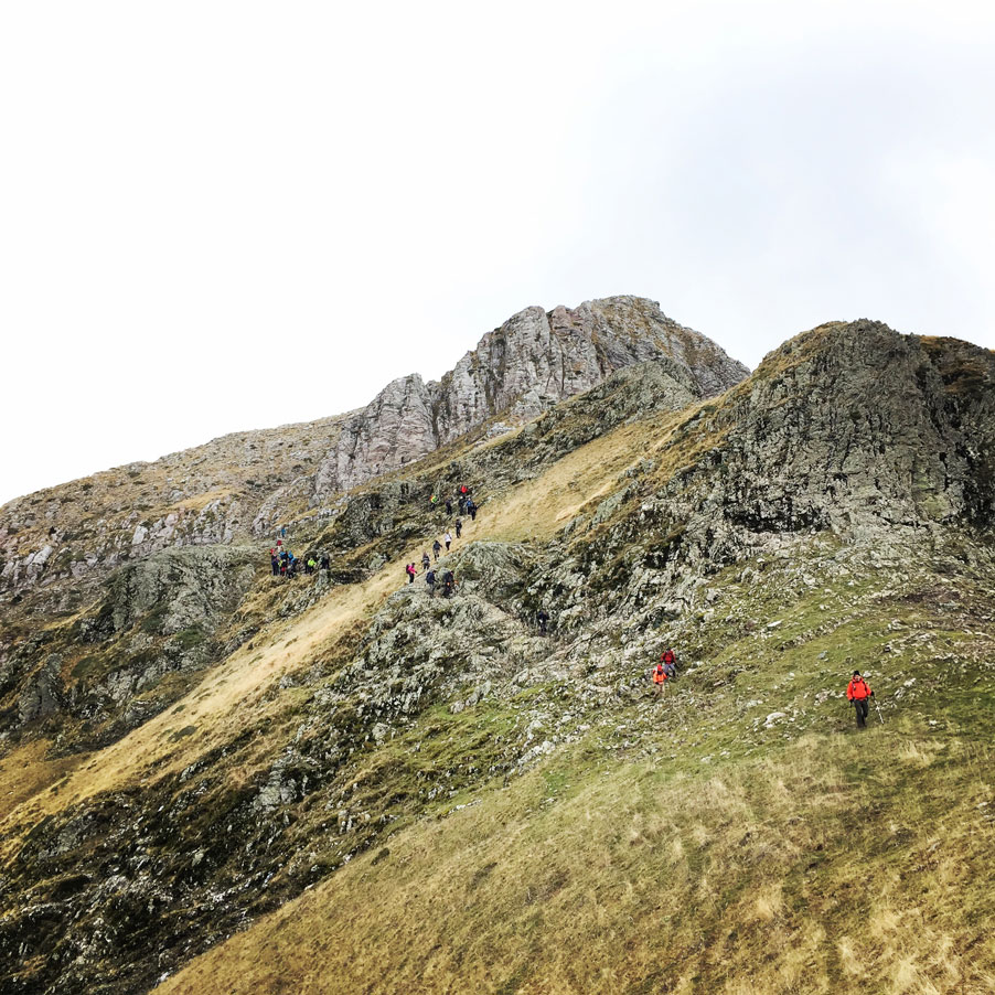
POULI PEAK – SVONI PEAK
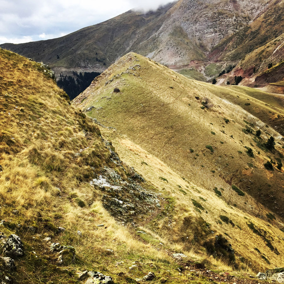
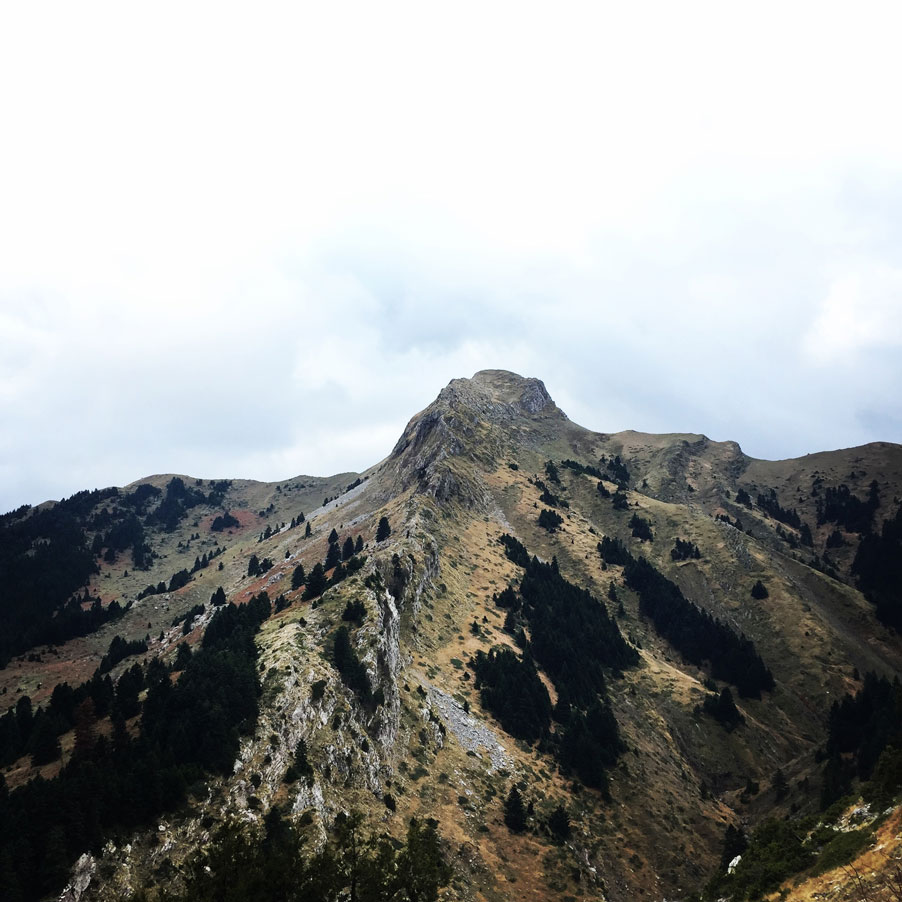
As soon we have reached Pouli peak, the wind was blowing so hard that we have decided to not stay for long on that peak and to move fast towards the highest point of our hike, Svoni peak 2.042 meters above sea level.
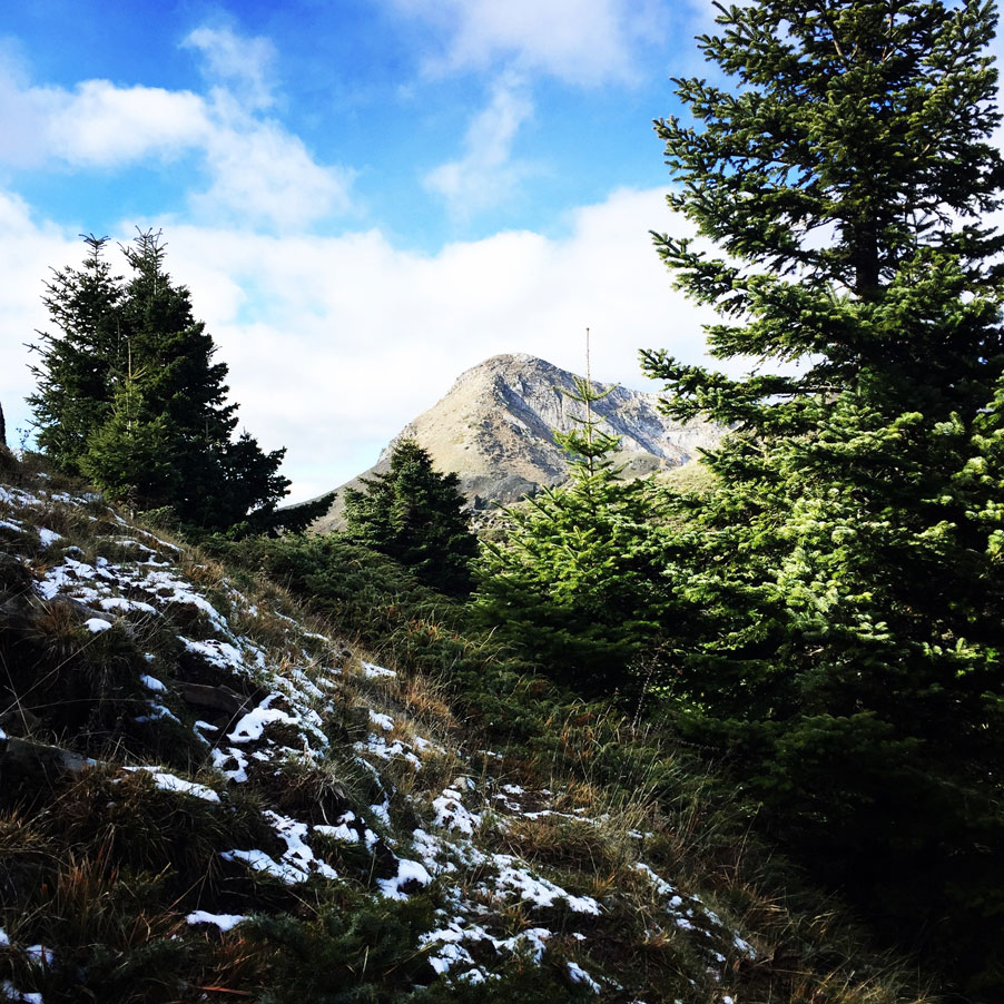
Svoni is the highest mountain of East Agrafa range. It is located in the center of mountain range of Agraga villages. The easiest path for the peak starts from the villages of Agrafa and Vragiana. Svoni has a low degree of difficulty, since climbing from the col between the Pouli and Svoni peak is easy. Of course one can climb from the other sides of the mountain, which are quite steep. Especially in the winter months, the snow covers the whole mountain and therefore prior winter mountaineering experience is needed.
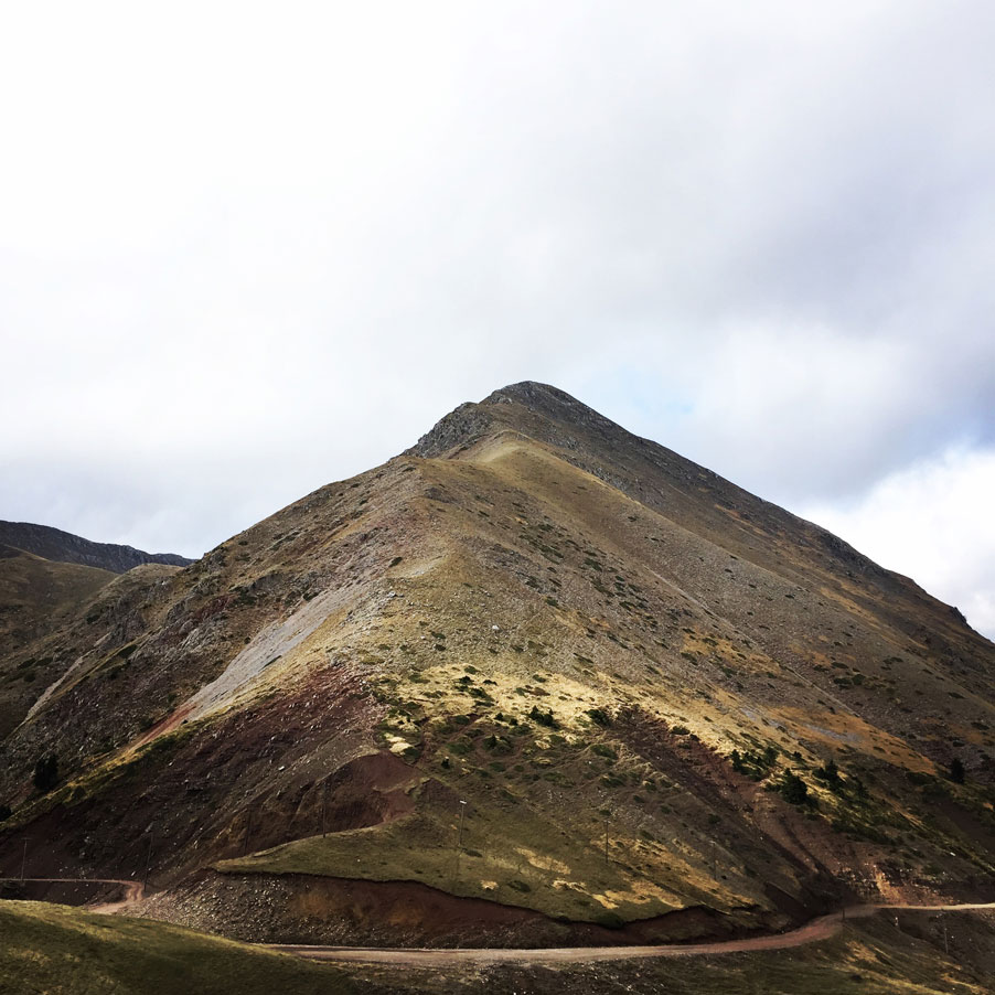
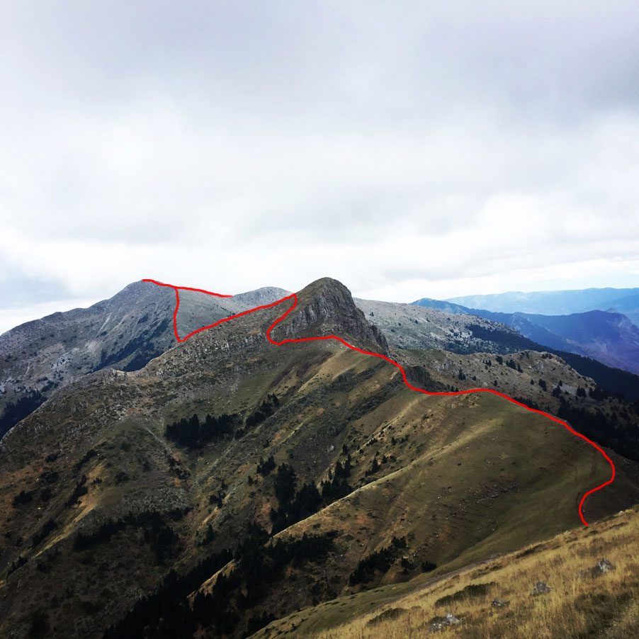
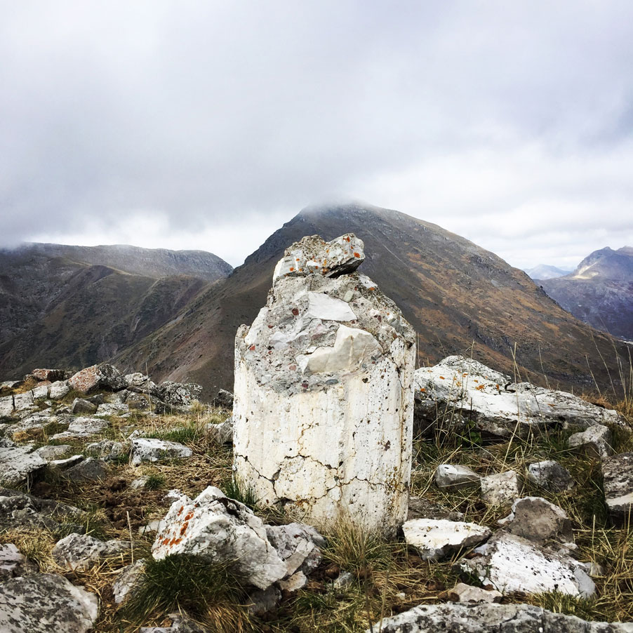
From the highest point of Svoni, one can see most of Agrafa. The peaks of Tymfristos, Chelidon and Kaliakouda are distinguished by the South. The only peaks that do not appear are those that lie to the north that are hidden from the rest of the mountainous masses.
Other routes that lead to Svoni Peak
The easiest path for the peak starts from the villages of Agrafa and Vragiana. Vragiana village is 2.5 hours from town Karditsa and village Agrafa is also 2.5 hours from Karpenisi. Starting from Agraga the trail ascends to the north.
In 10′ we arrive in a crossroad. The left path after 40′ ascend on a ridge and after 20′ we are in 1100m. A good path now ascend near of Sbororema river. 1.5 hour after, the trail arrives on 1350m. altitude in a spring. We continued to ascend and after 3h40min from the starting point we arrive in 1470m. Between the peaks Fourkoula(1.726 m.) and Tourla(1827). 1h10min ascension with view of Katarachias peak (2.003 m.) and we arrive to the point that the peak Katarachias (2.003 m.) separates from the smaller peak Grammeni (1.817 m.) Now we are on Nialas plateau in 1760m. altitude. In the SouthEast we can see the peak Svoni (2.042 m.). We follow the mountain crest and after the peaks Grammeni (1.817 m.), Tourla (1.827 m.) we climb to the peak Svoni (2.042 m.)
SVONI PEAK – SAIKA (PETRALONA) VILLAGE
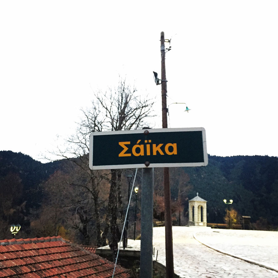
Having reached the highest point of our hike, obviously is not also our final destination point. Our final destination was the village of Saika, or otherwise named Petralona.
Petralona (or Saika) is village situated in Evrytania region, central Greece. The center of the village is at an altitude of 900 meters above sea level and there are approximately 40 citizens living in this village.
Subscribe & Stay Informed
Enter your email address to follow this blog and receive notifications of new posts by email
Details of the hike:
- Location: Agrafa
- Starting Point: Karoplessi village
- Ending Point: Petralona (Saika) village 900 m.
- Trail Signs: Almost none
- Minimum Elevation: 804 m
- Maximum Elevation: 2.042 m.
- Elevation Gain: 1.649 m.
- Total Distance: 17.5 km
- Difficulty: Medium (easy but long hike)
- Water Features: One
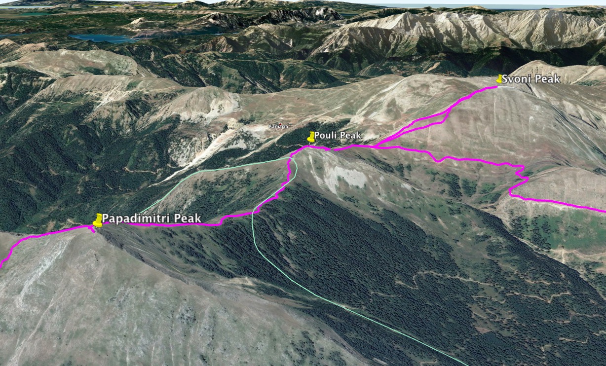
Bellow you can see the route we have followed on a map and on 3D:
See previous Hiking and Mountaineering ascent in the Agrafa region here:
Before you leave this blog check out the following map
Below: This map marks all the mountaineering adventures that have been featured on Olympus Mountaineering so far, including several Sport climbing crags – Select full screen to expand, zoom in for more detail, or click on a marker for a link to the post.

Pingback: Hiking in Agrafa – Panagia Pelekiti – Karamanoli – Neraida – Olympus Mountaineering
Pingback: Mixed and Alpine Climbing in Vardousia Mountain | Aris II 2 M2 – 400m. – Olympus Mountaineering
Pingback: Hiking to Anthochori Waterfall – Agrafa Mountains, Lake Plastira, Greece – Olympus Mountaineering