While we are approaching winter, we have decided to visit once again one of our favourite mountain ranges of Greece, Taygetus (Taygetos).
Taygetus, is a mountain range in the Peloponnese peninsula in Southern Greece. The highest mountain of the range is Mount Taygetus, also known as the “Profitis Ilias”, or “Prophet Elias”. The name is one of the oldest recorded in Europe, appearing in the Odyssey. In classical mythology, it was associated with the nymph Taygete. During Byzantine times and up until the 19th century, the mountain was also known as “Pentadaktylos” which means “five fingers” in Greek. The name was related to the 5 tops of the mountain range.
Check out previous ascent on Mount Taygetus (Taygetos) here:
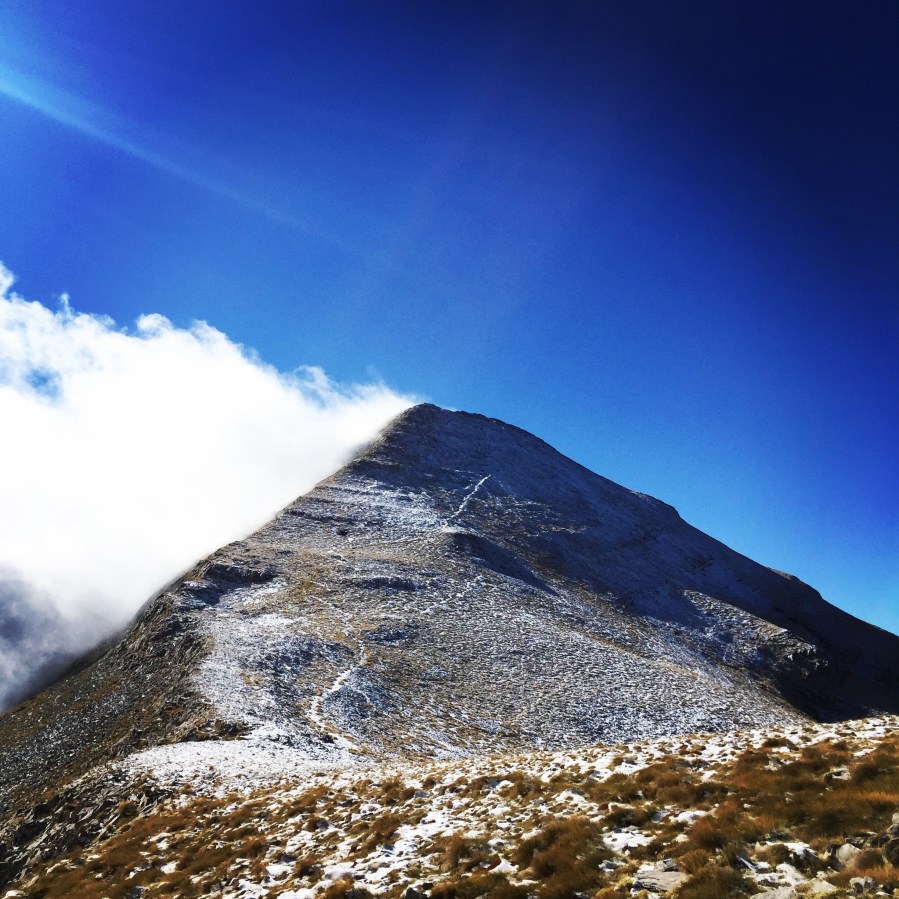
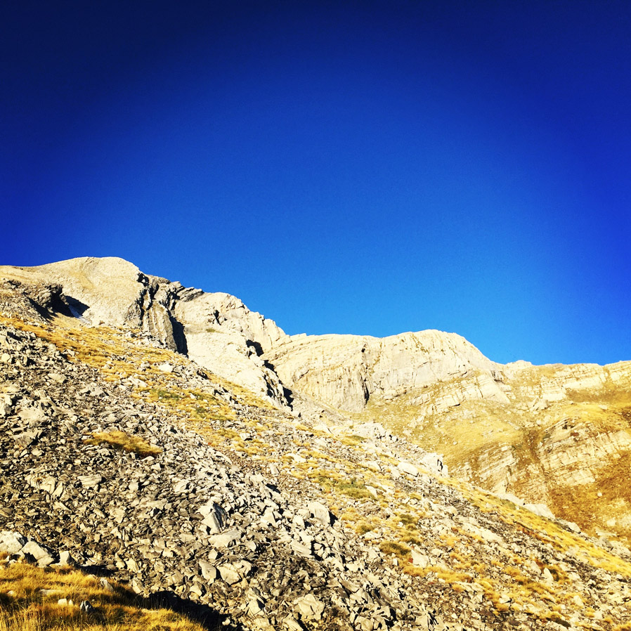
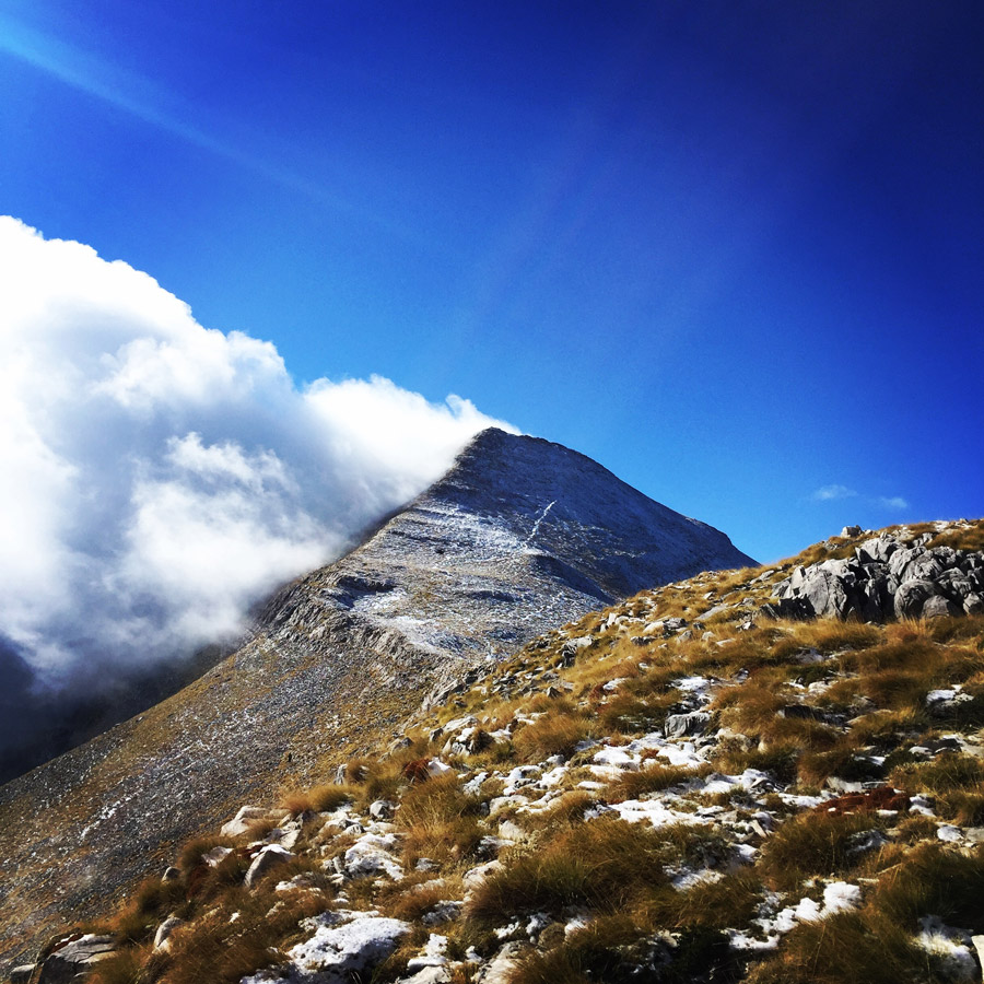
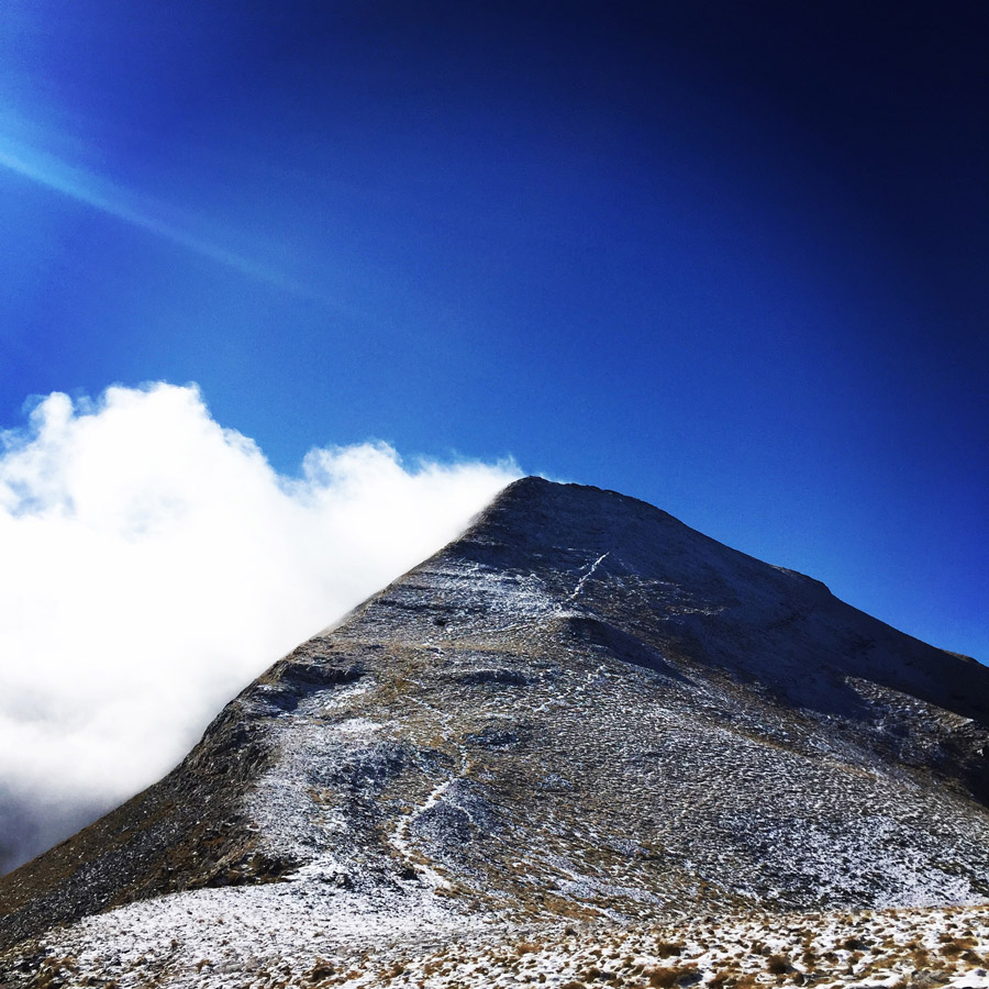
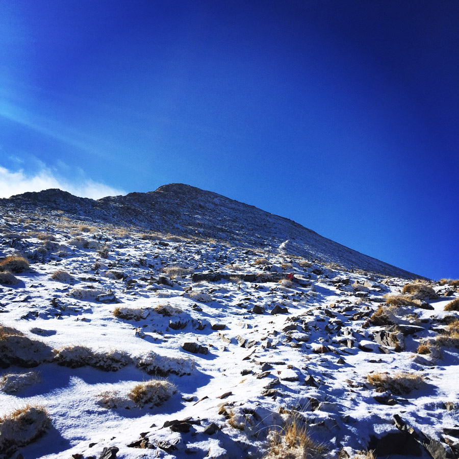
The Taygetus (Taygetos) Massif is about 100 km (62 mi) long, extending from the center of the Peloponnese to Cape Matapan, its southernmost extremity. It contains the tallest mountain in the Peloponnese, the Profitis Ilias summit, reaching 2,407 m (7,887 ft); this is probably the classical Mount Taléton mentioned by Pausanias.The summit is an ultra prominent peak.
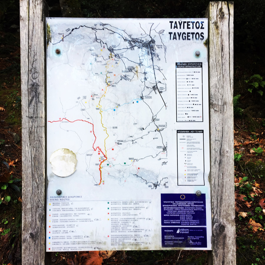
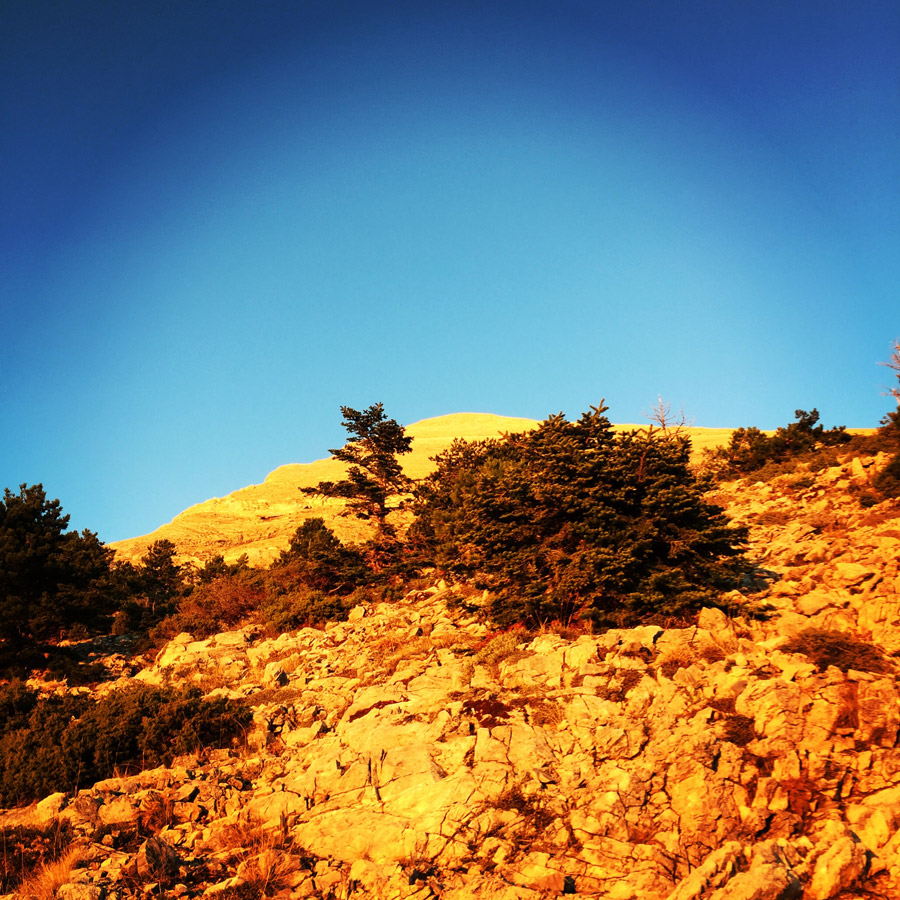
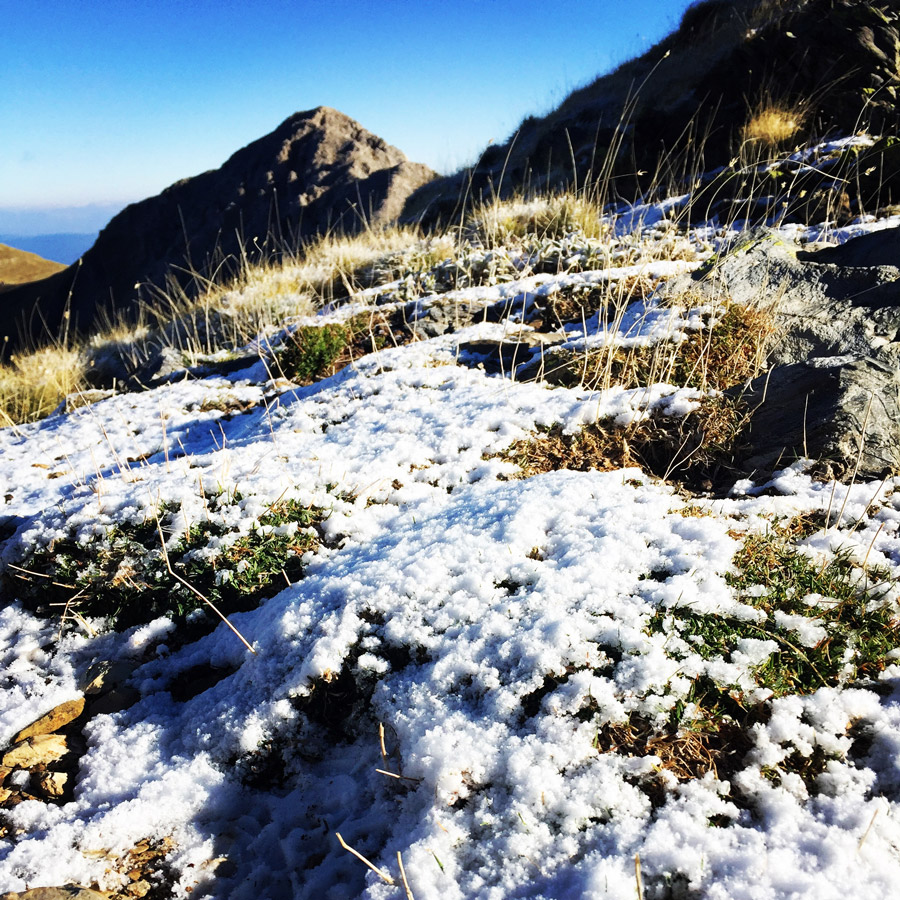
The mountain provides plenty of hiking routes which are well signposted and attract a lot of travellers during the summer period. At the winter the snow makes the climbing quite difficult and special equipment is necessary. One of the most rewarding experiences is reaching the top of the mountain with the chapel of Prophet Elias and the breathtaking view of Peloponnese.
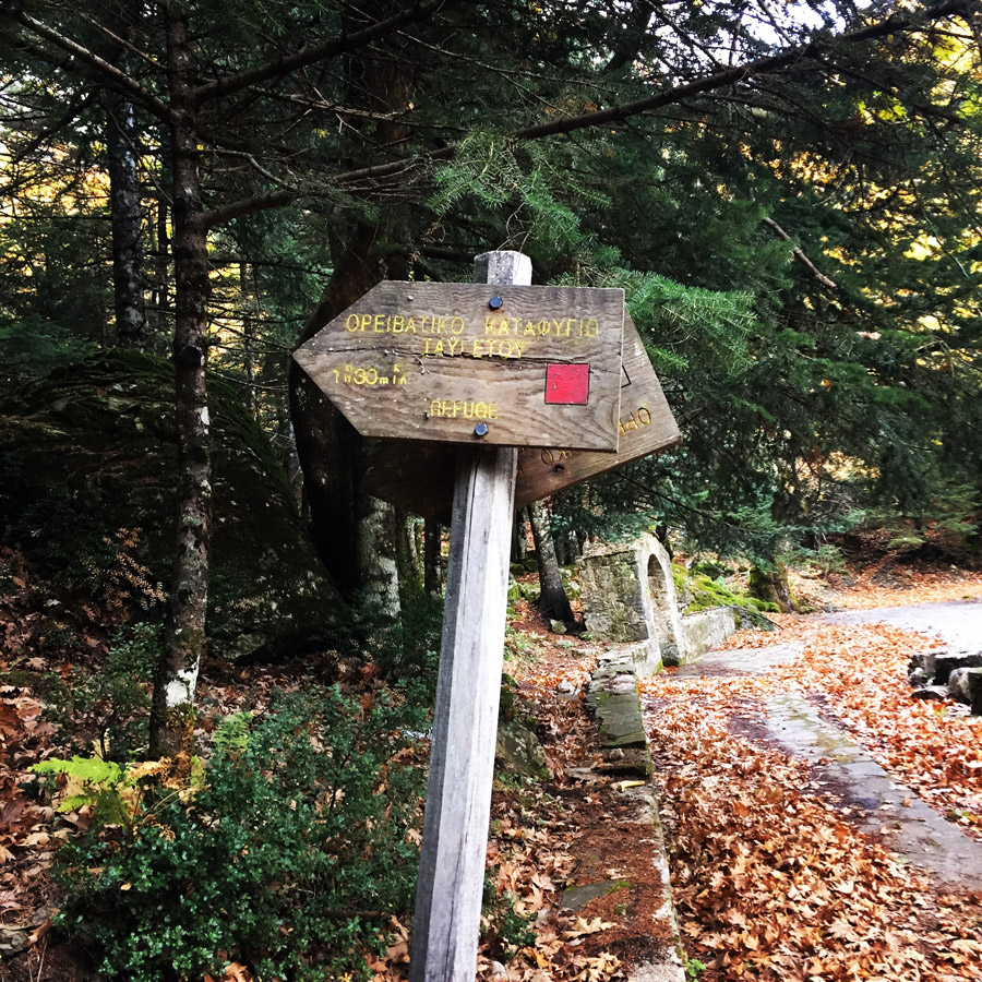
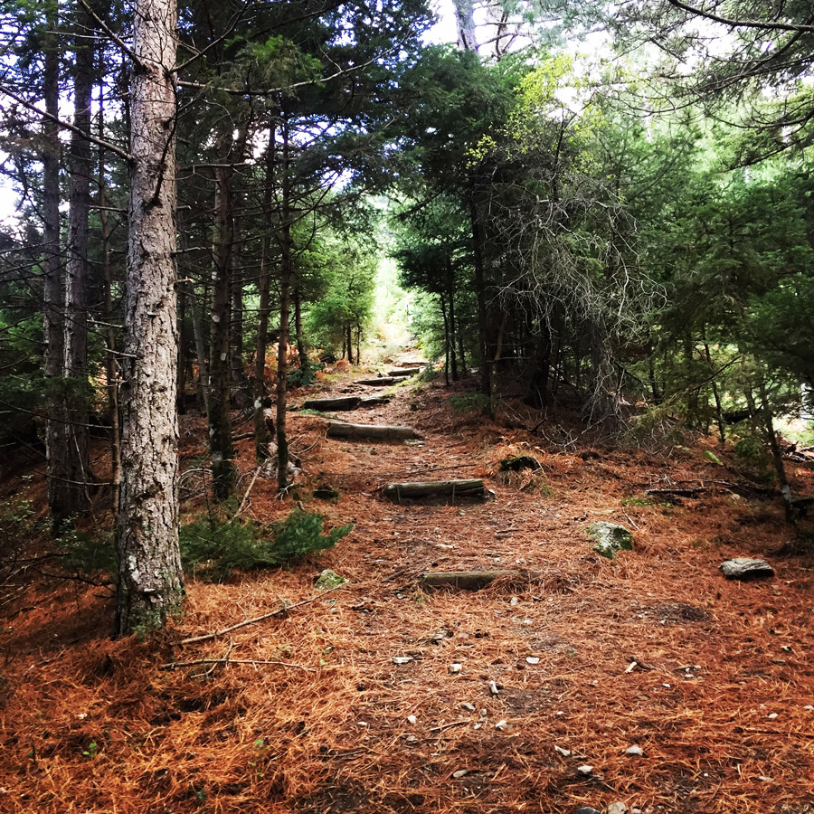
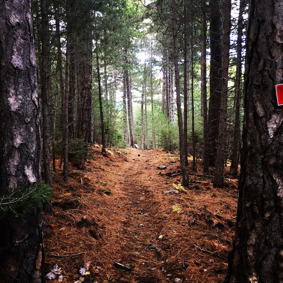
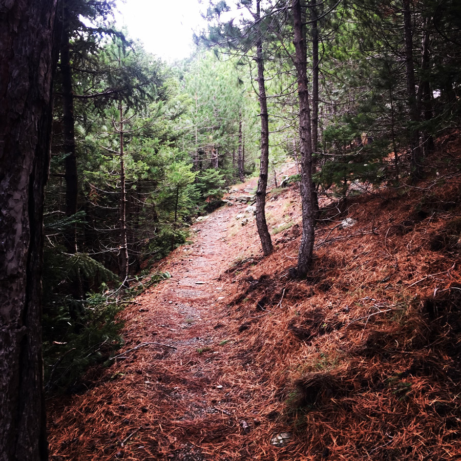
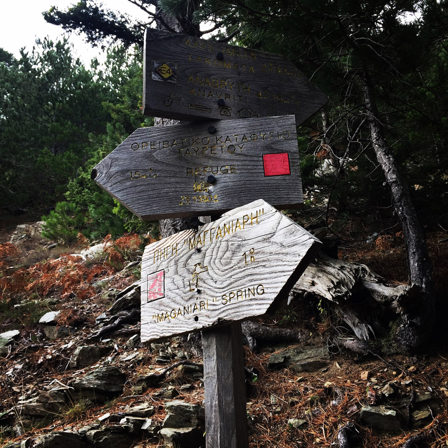
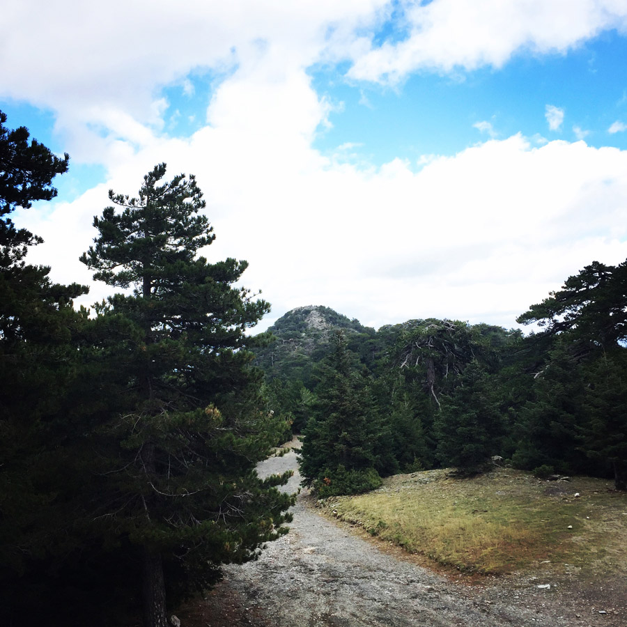
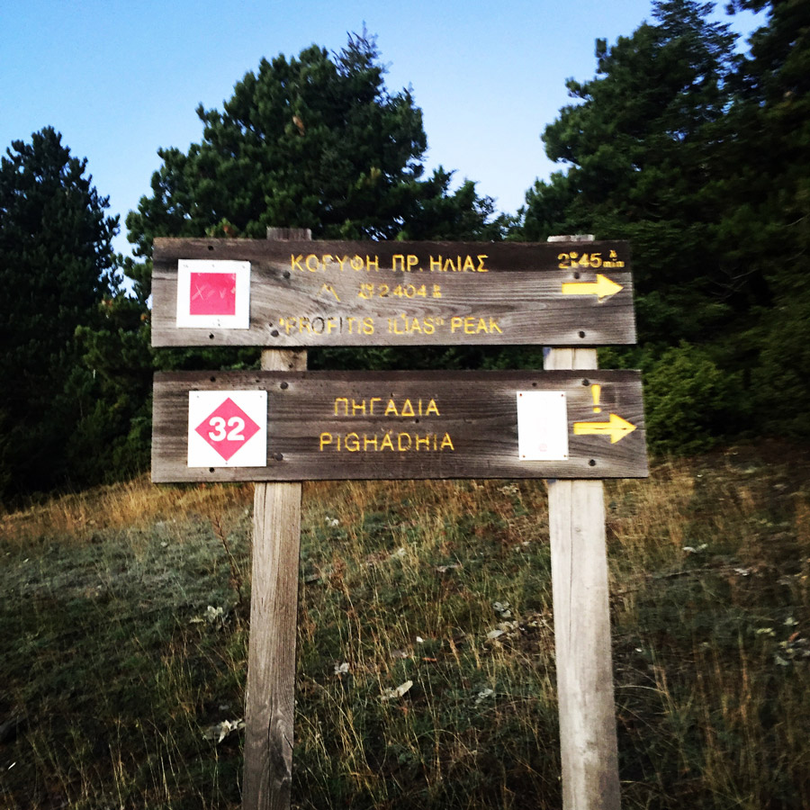
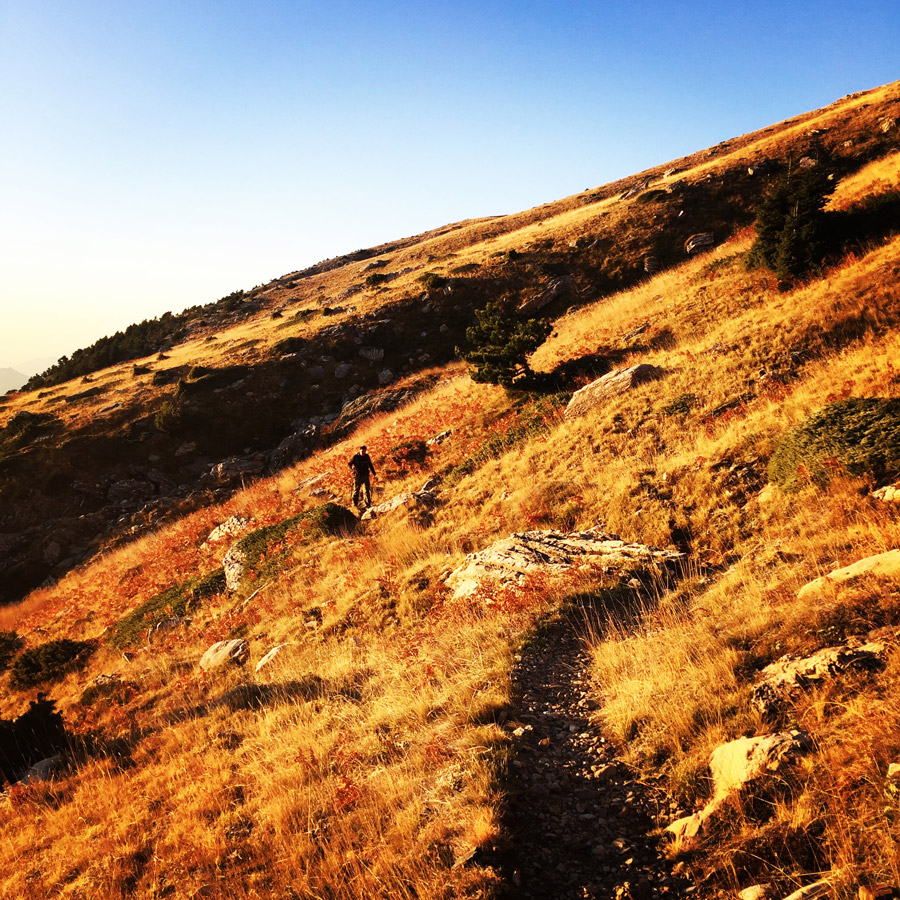
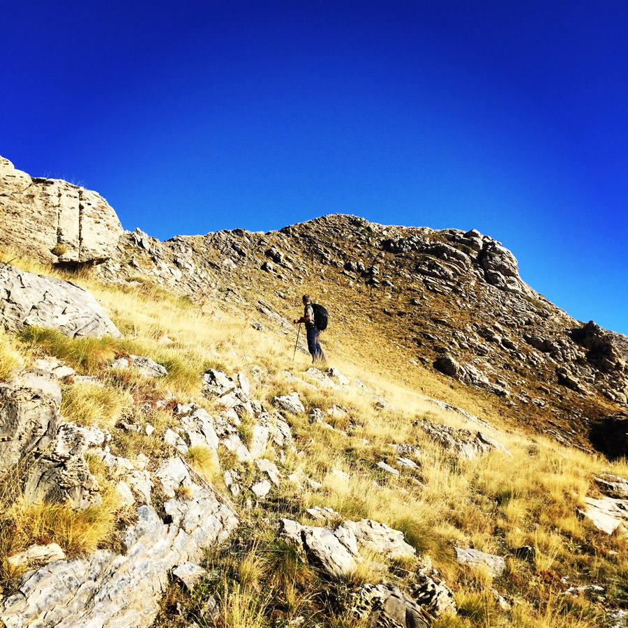
Driving on the highway that leads to the city of Sparti (Sparta, the city of the 300), the view of the mountain is overwhelming. The most popular route in order to reach the Profitis Elias Peak starts from Maganiari spring and is an easy and safe route. The path to the top starts from Maganiari spring (980m altitude) and crosses the forest until the spring of Barbara and the EOS mountain shelter of Taygetos (1550m altitude). The route from Maganiari spring to the shelter lasts about 1,5hour. You will hike for about 2,5 hours from the EOS shelter until the ridge of Prophet Elias (2407m altitude). The total duration of the route from Maganiari to Prophet Elias is about 4,5 hours and 8,5km long. If you wish to overnight at the shelter of Taygetos you should make your arrangements in advance with the mountaineering club of Sparta (EOS Sparta).
Support the journey — buy me a coffee
I share these articles and the climbing guidebooks because I love the outdoors, and they’ll always be free. If they’ve helped you, help me keep them coming. Click the button to support my work.

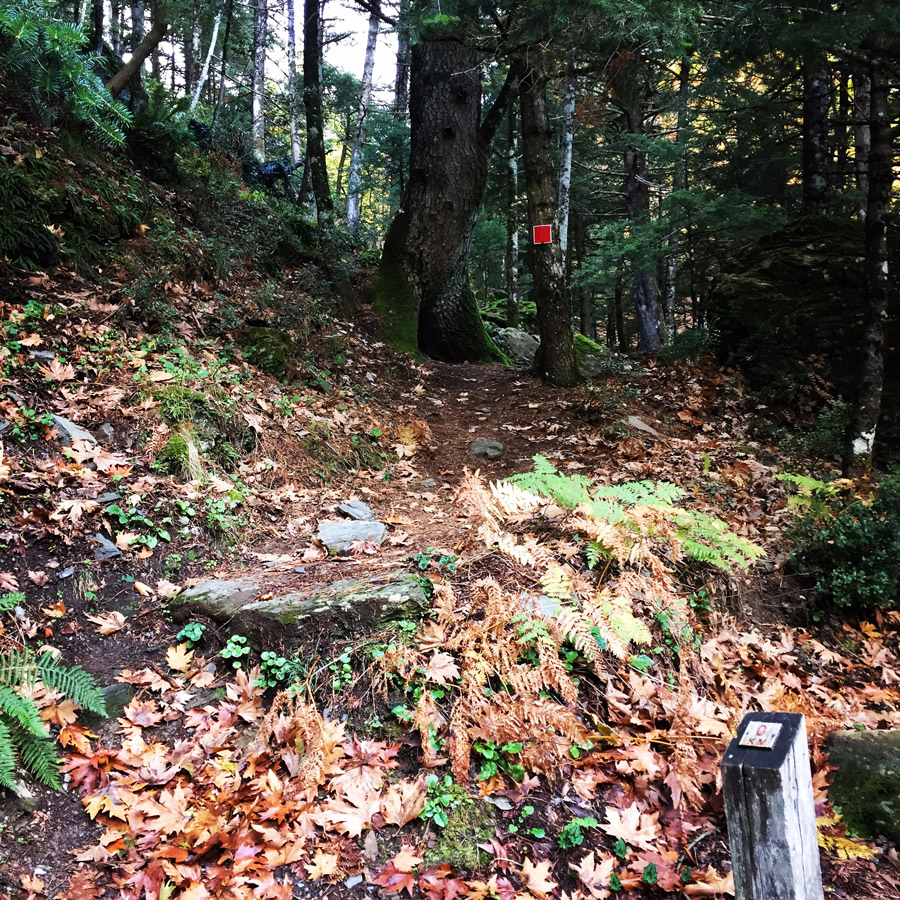
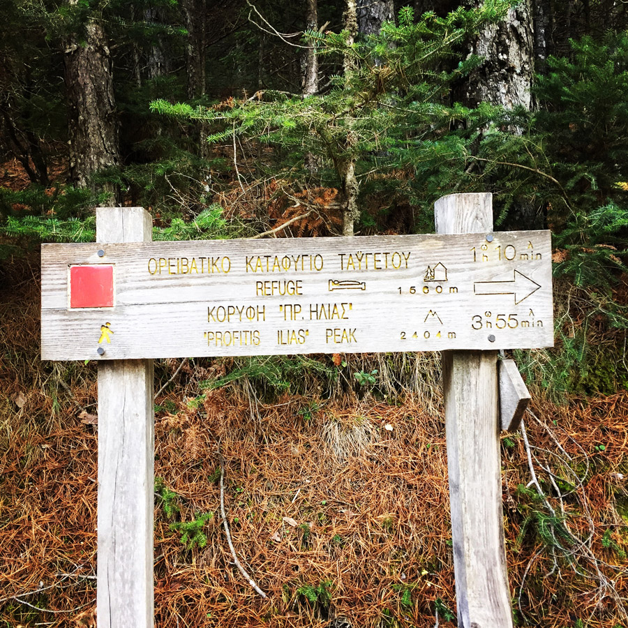

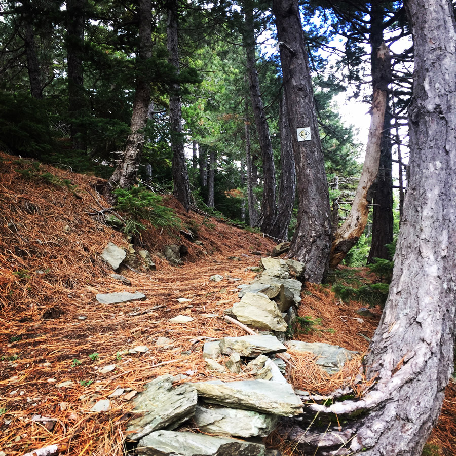
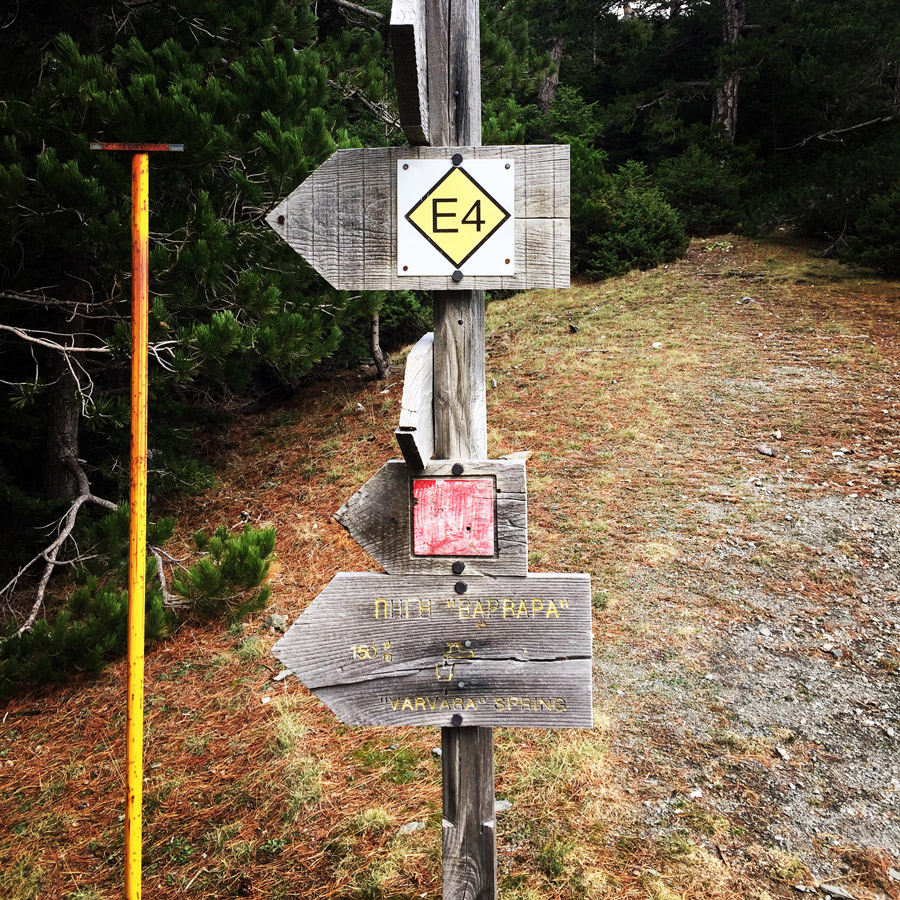
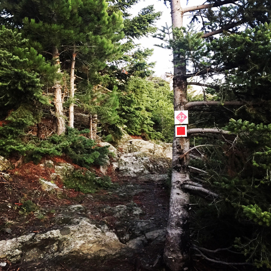
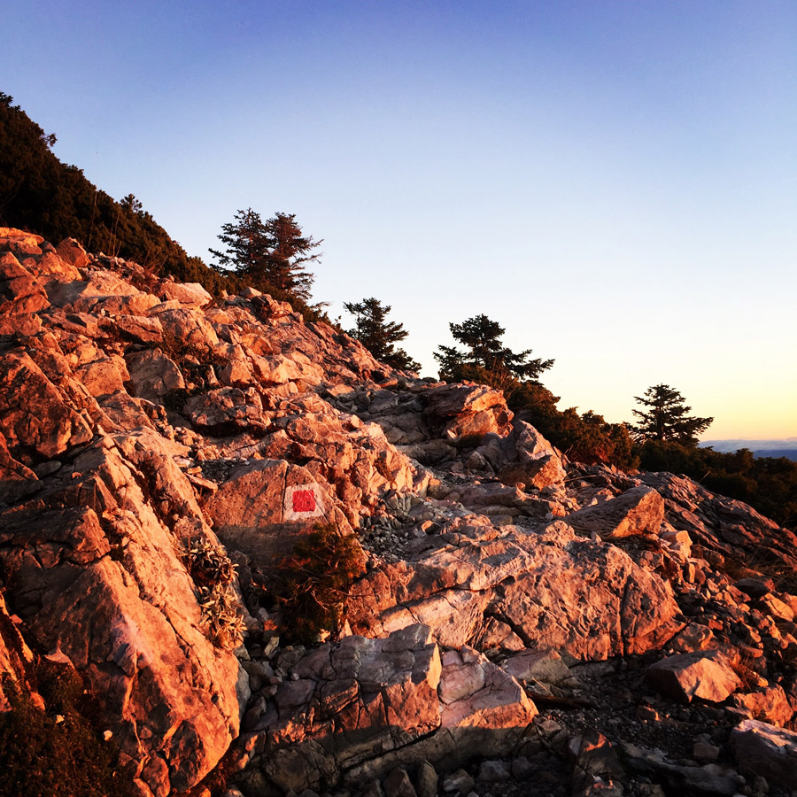
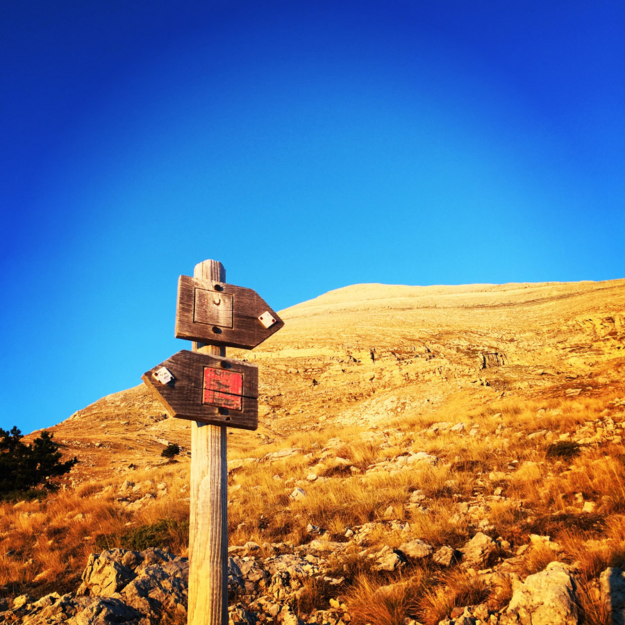
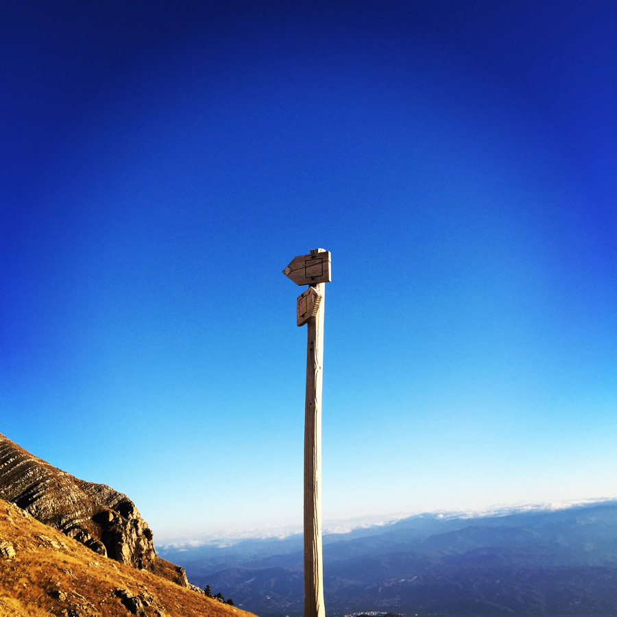
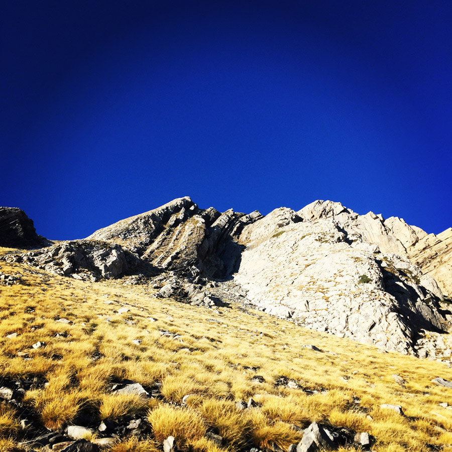
About 45 minutes from Maganniari Spring, there is a trail junction. On that point, the European Trail E4 is in crossroad with the path that leads to the mountain shelter of Taygetos. The E4 European long distance path or E4 path is one of the European long-distance paths. Starting at its westernmost point in Portugal it continues through Spain, France, Switzerland, Germany, Austria, Hungary, Romania, Bulgaria and Greece to end in Cyprus.
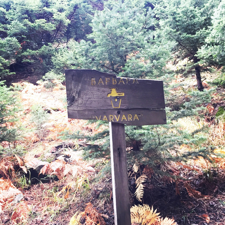
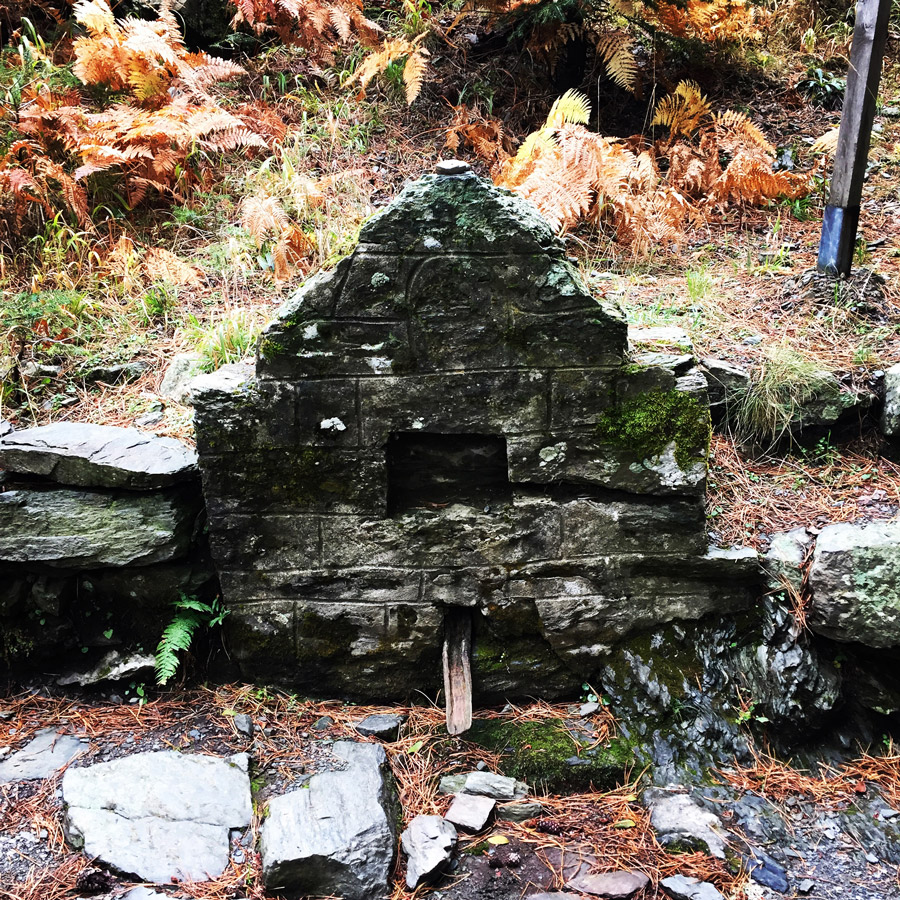
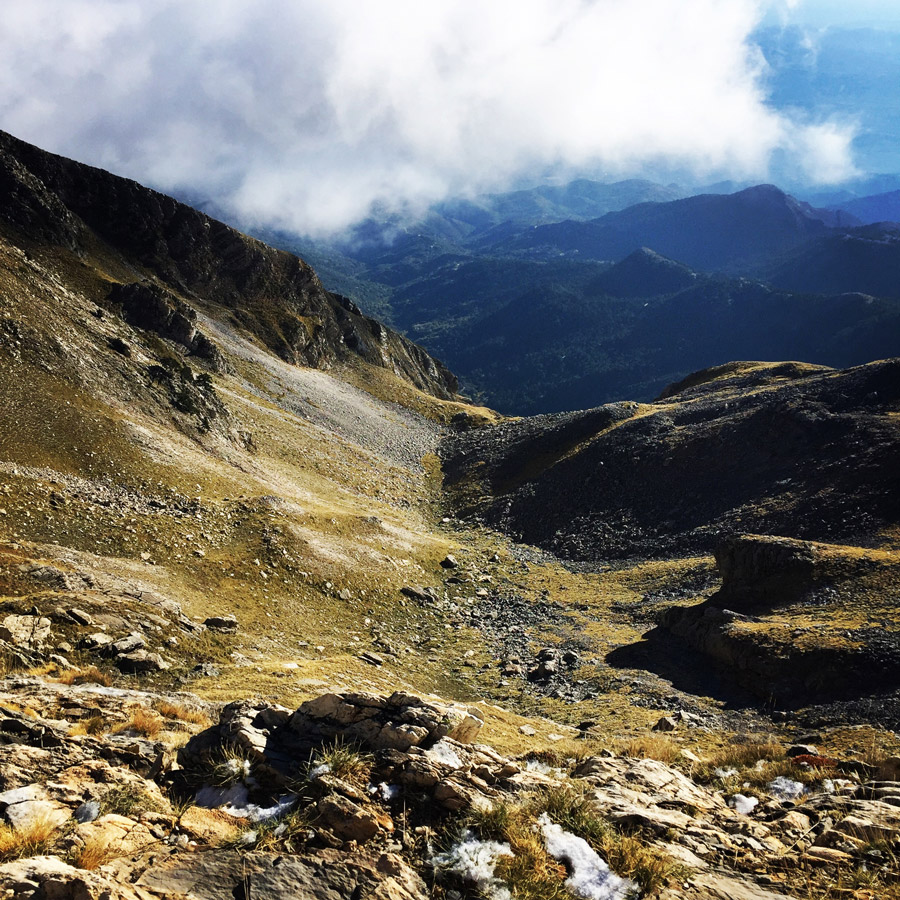
An hour from our starting point we came across the Barbara (or Varvara) spring. This is a spring that usually there is fresh water running, though, this year and due to the drought the spring was without water. Therefore, hikers and mountaineers should have enough water to last the entire hike. During winter time and spring time, this water fountain is almost sure to have fresh running water. Bellow a sign of the spring and the Barbara spring.
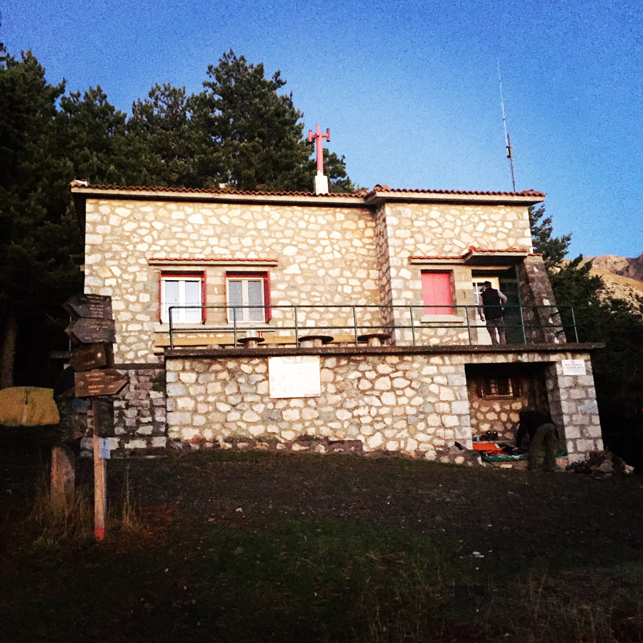
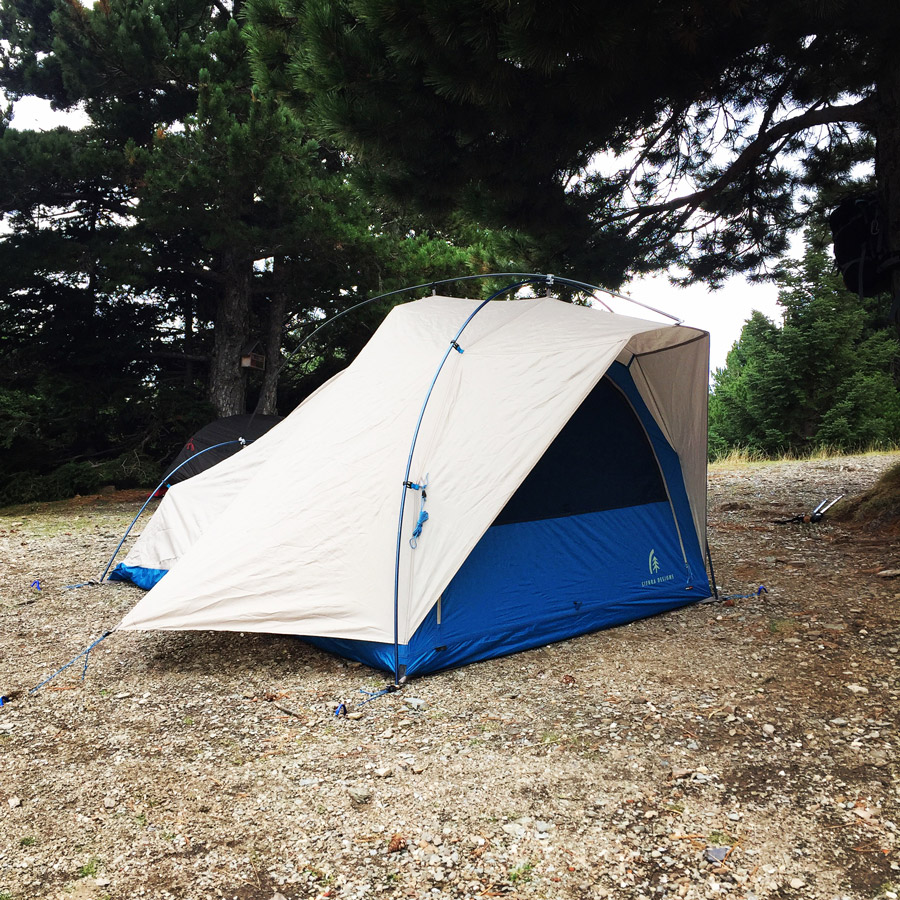
After a short break in Barbara (or Varvara) spring, we moved ahead towards the Taygetos mountain shelter. There distance in terms of time between the spring the and shelter is about 10 minutes. Once we arrived on the mountain shelter we have arranged our campsite. Many hikers and climbers stay within the fully organised shelter, instead other ones prefer to stay in tents just around the shelter area.

Check out more FREE Guidebooks
Download now for free! Explore breathtaking landscapes and conquer thrilling heights with our collection of guidebooks and topos.
Don’t miss out on this opportunity to elevate your outdoor adventures. Click, download, and let the exploration begin!
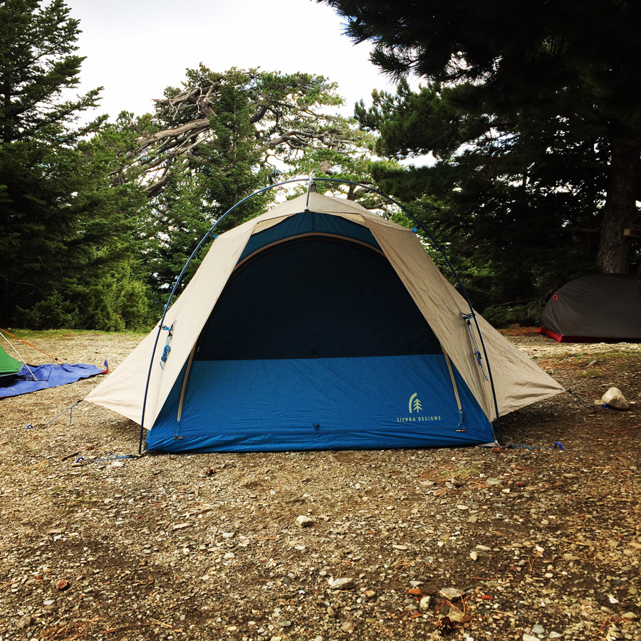
With overnight temperatures bellow freezing level, our sleeping gear for this trip was the following:
- Sierra Designs Lightning 2 tent
- Cumulus Panyam 600 Sleeping Bag
- Massdrop Klymit Static V Insulated Ultra Light Pad
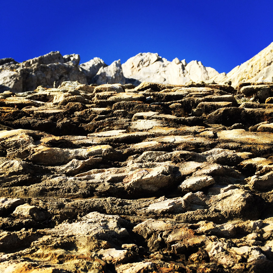
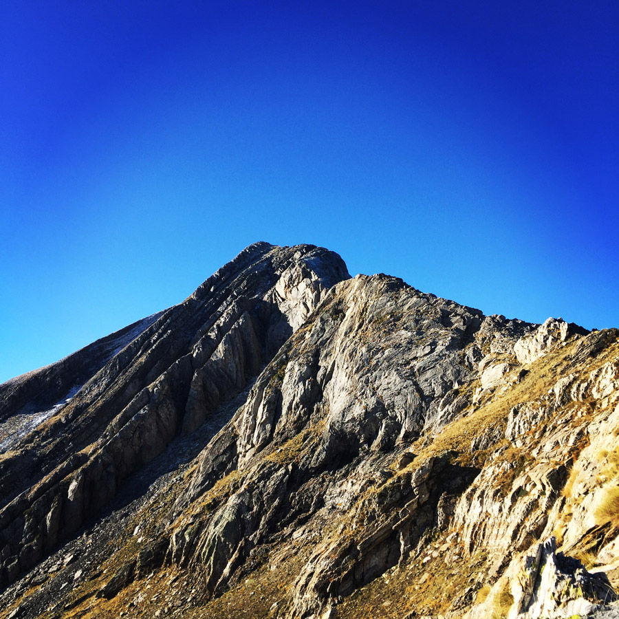
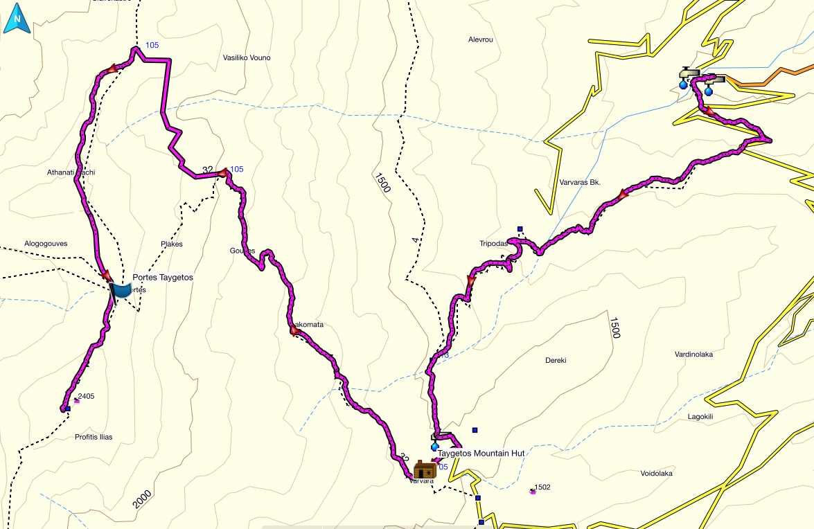
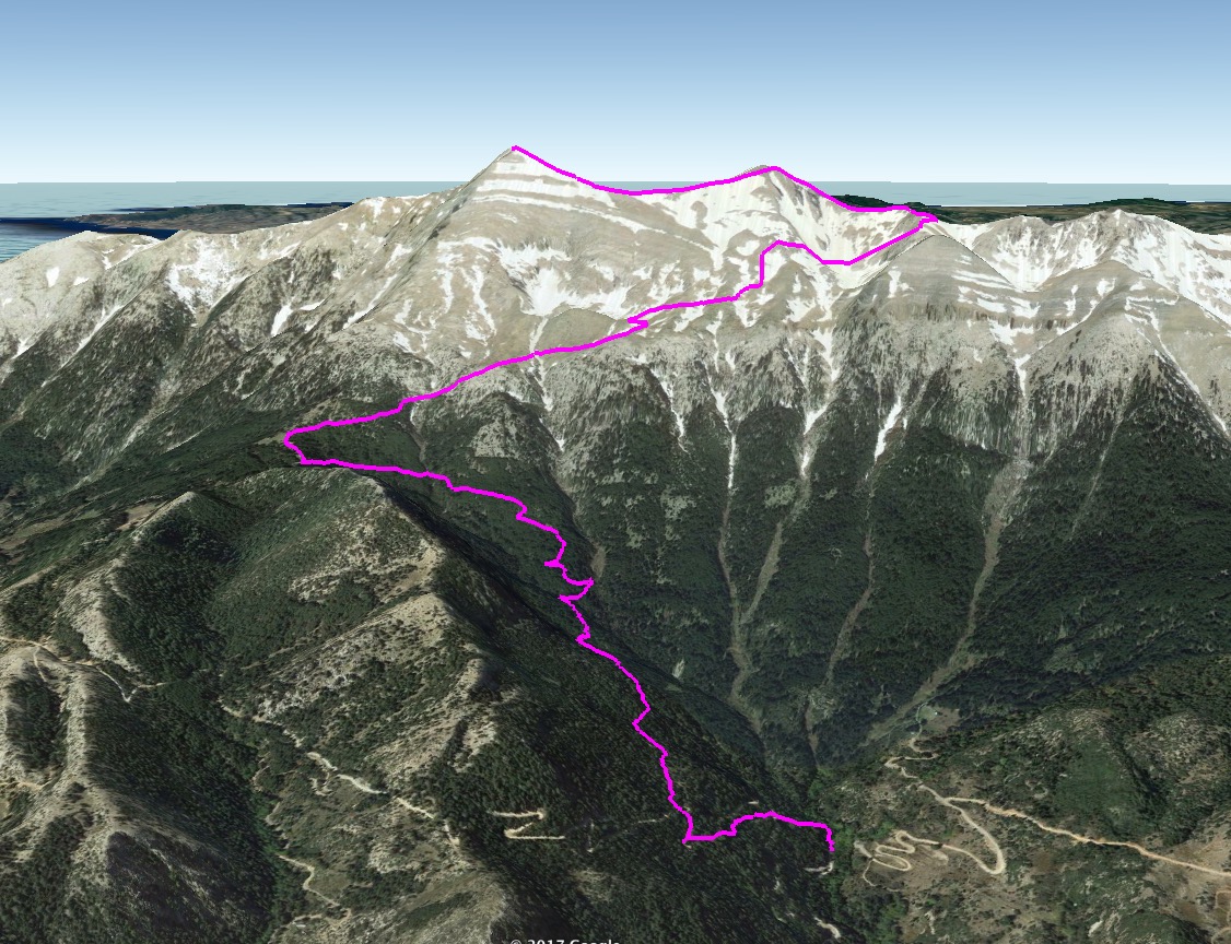
Taygetos Mountain Shleter – Athanati Rachi – Profitis Elias Peak 2.407 m.
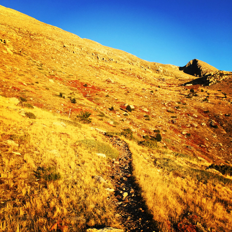
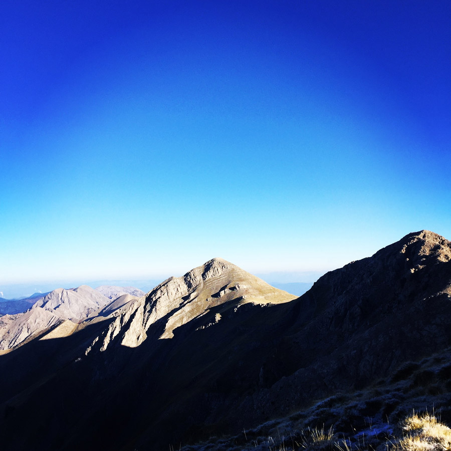
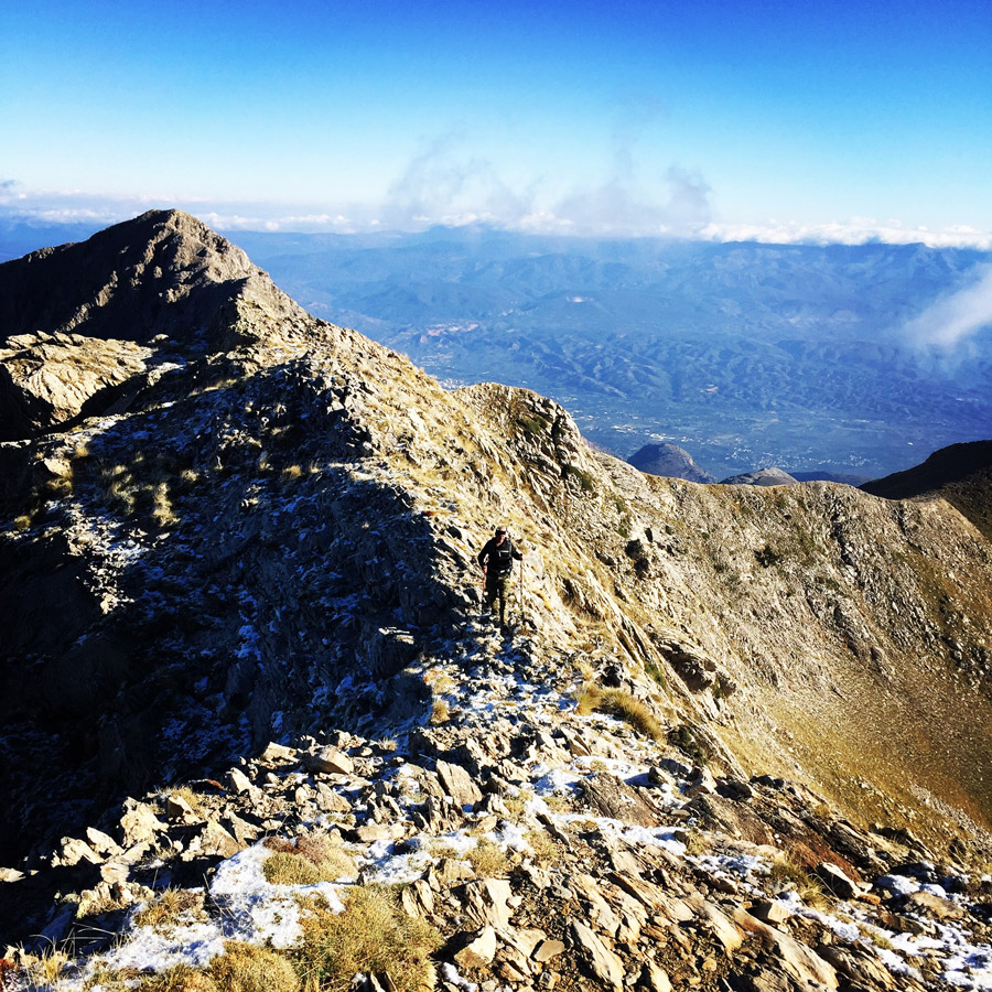
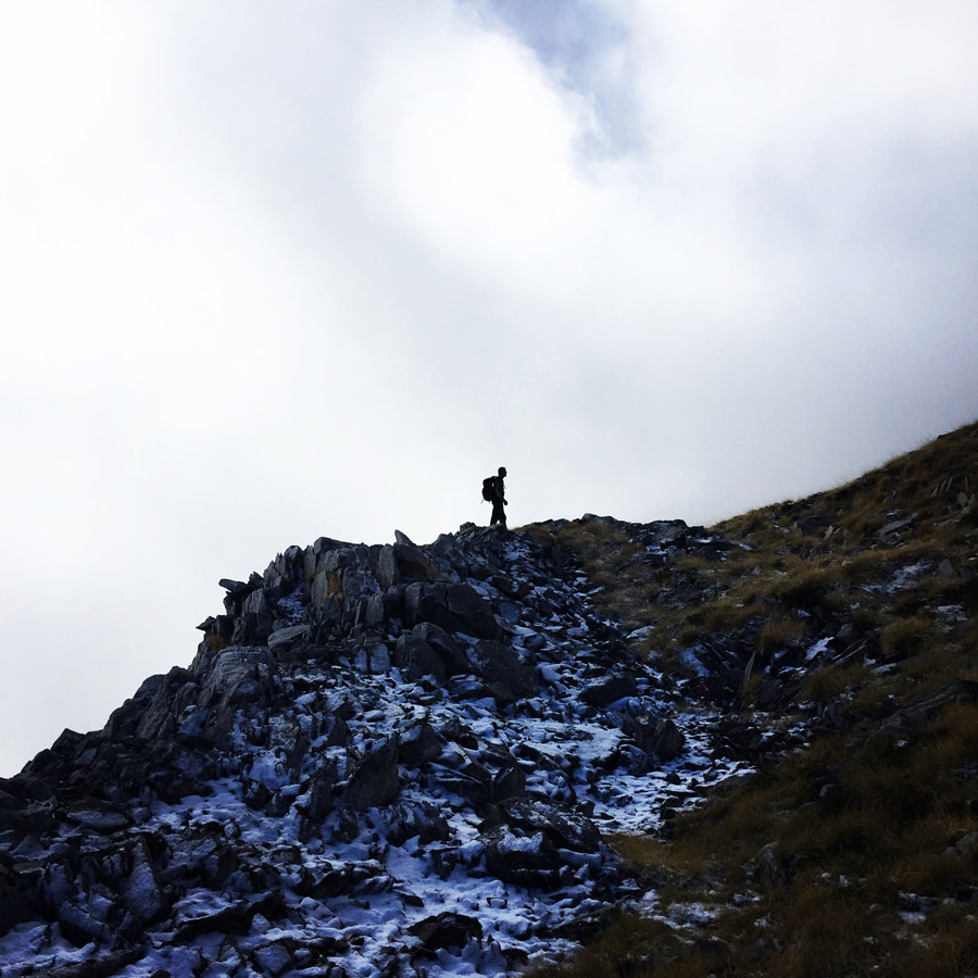
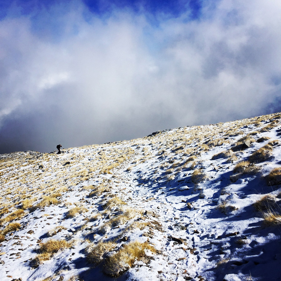
After a rather comfortable sleep, we woke up at 5.45 and we started our ascent around 6.30. We have had warm tea and homemade energy bars for breakfast. The sun was just rising and it was a beautiful feeling. It was beautiful to climb on the highest peak of Peloponnese while the sun was coming above the horizon.
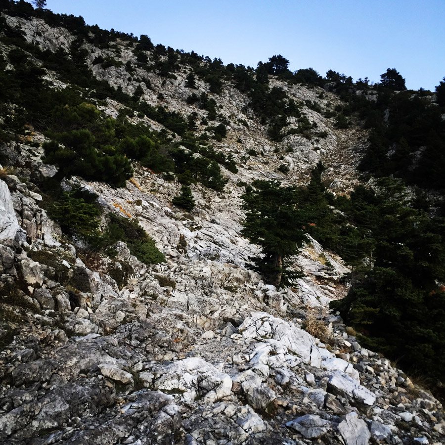
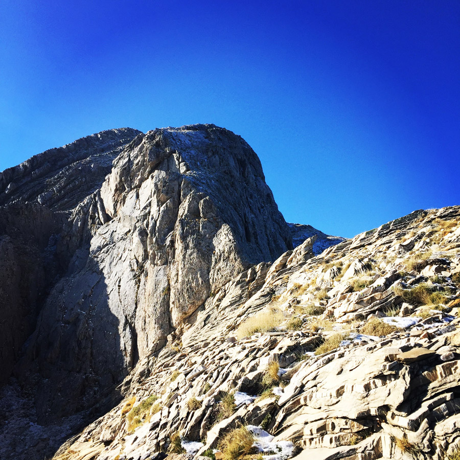
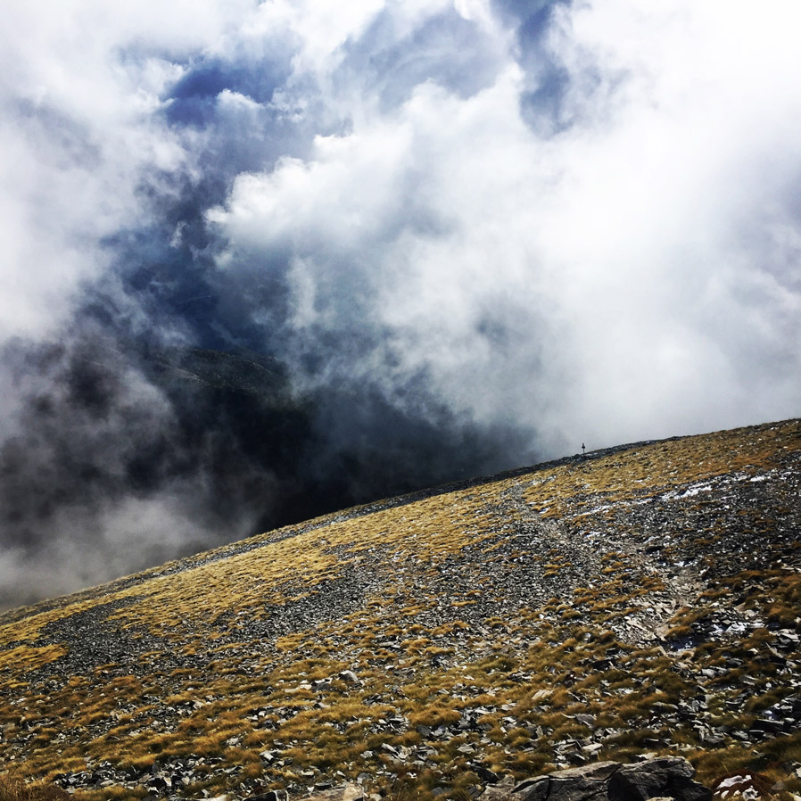
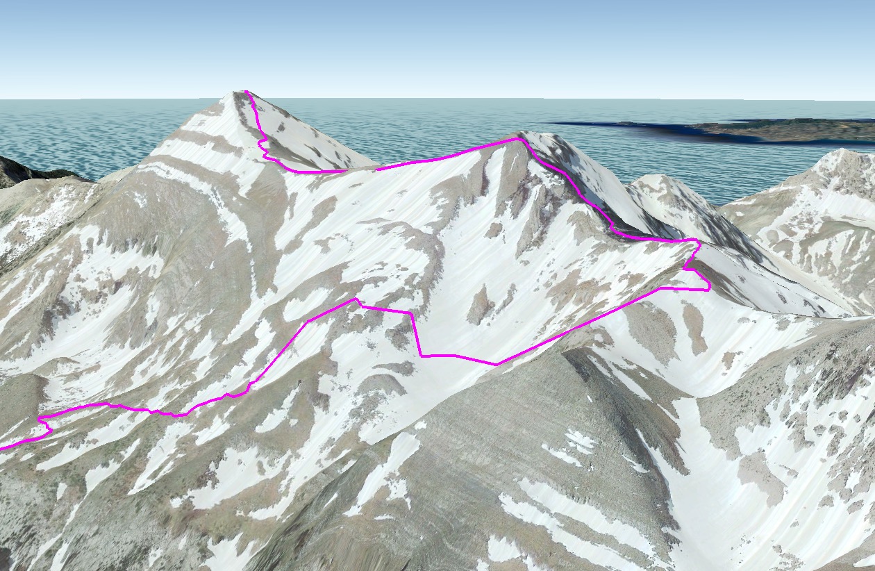
For this ascent, we wanted to explore a more difficult and slightly more dangerous route. This route is via Athanati Rachi. Athanati Rachi is one of Pentadaktylos peaks and in order to reach it one has to climb a rather exposed rock face. The climb is considered 5th degree scrambling, but it is very exposed and therefore once should climb carefully.
Explore all outdoor activities in a convenient list view here
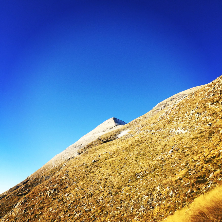
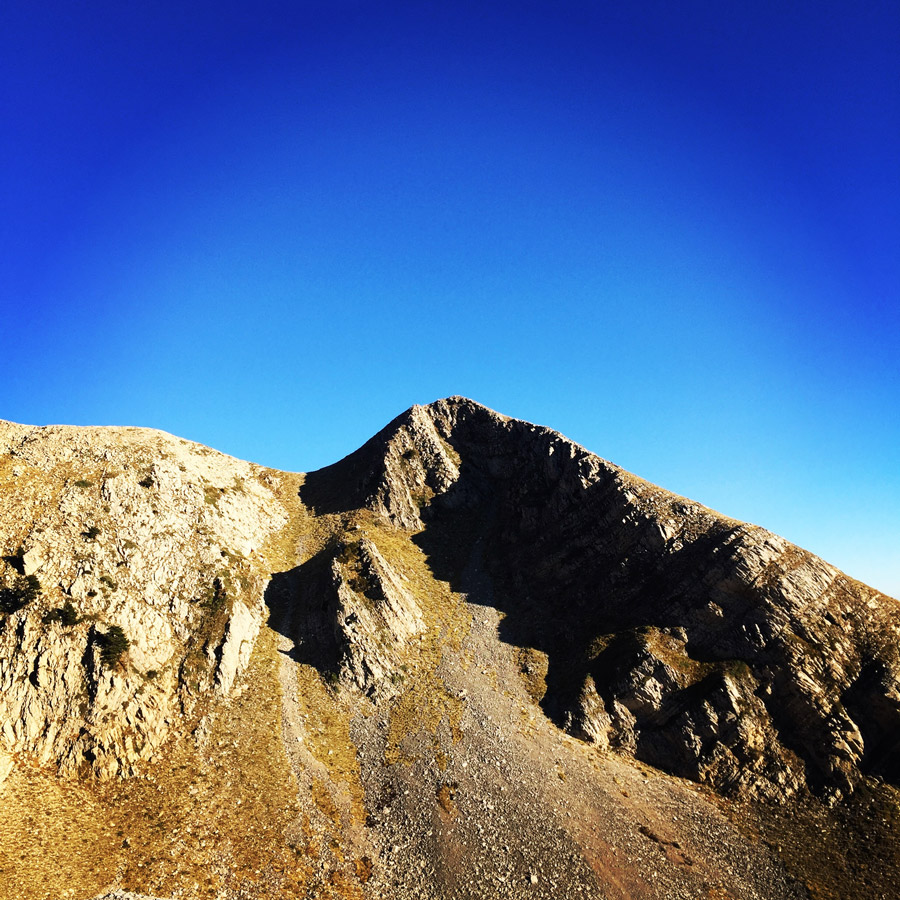
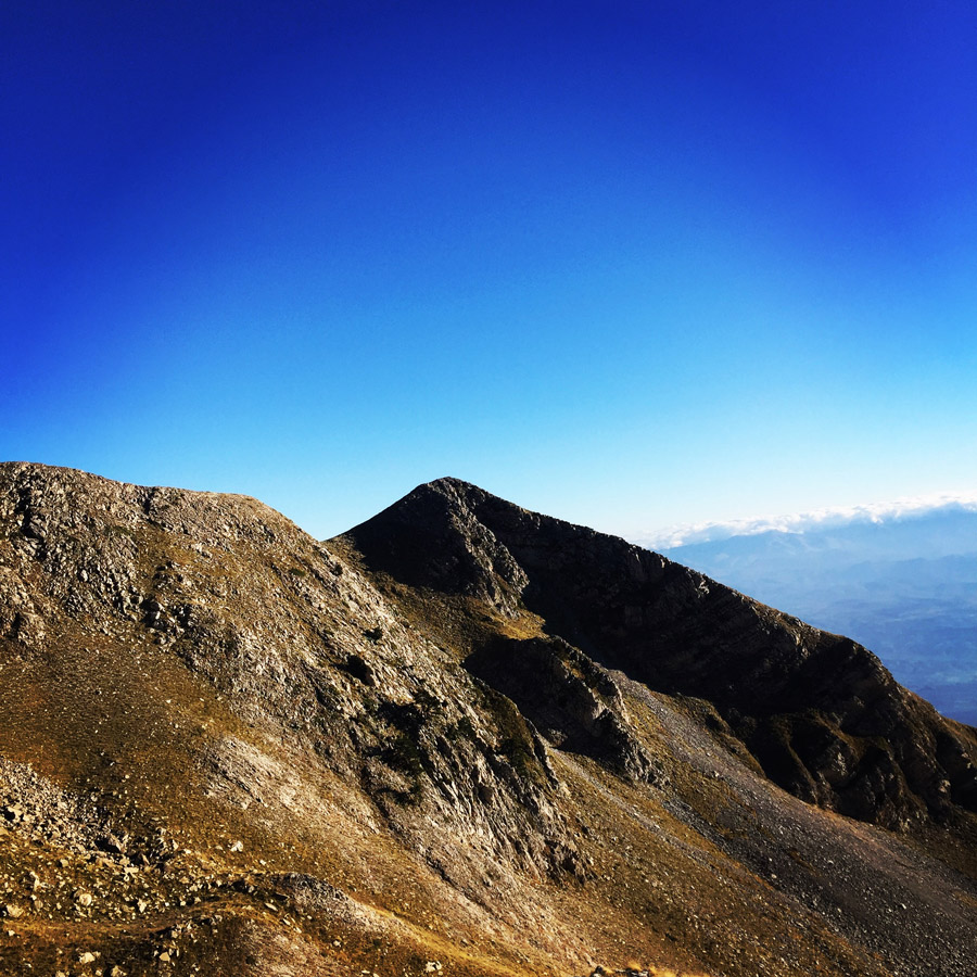
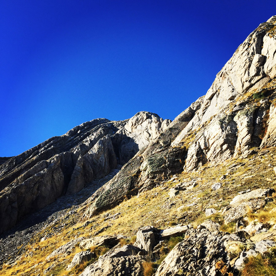
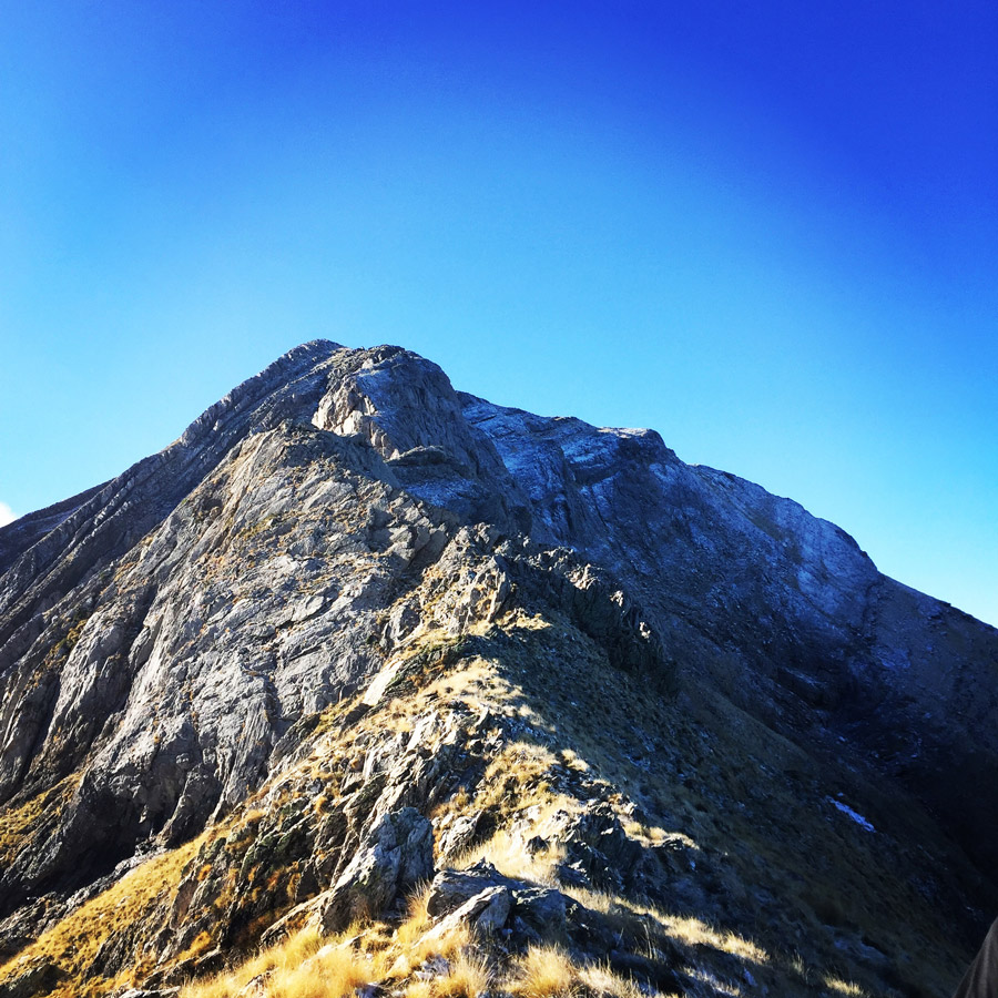
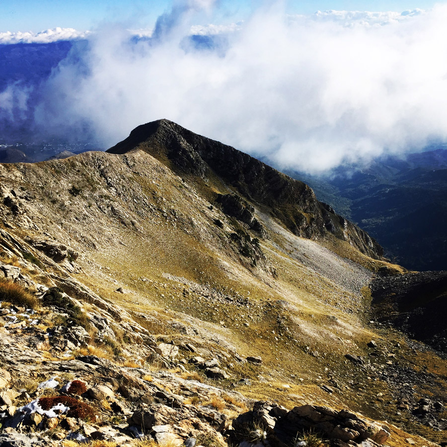
Athanati Rachi – Profitis Elias Peak
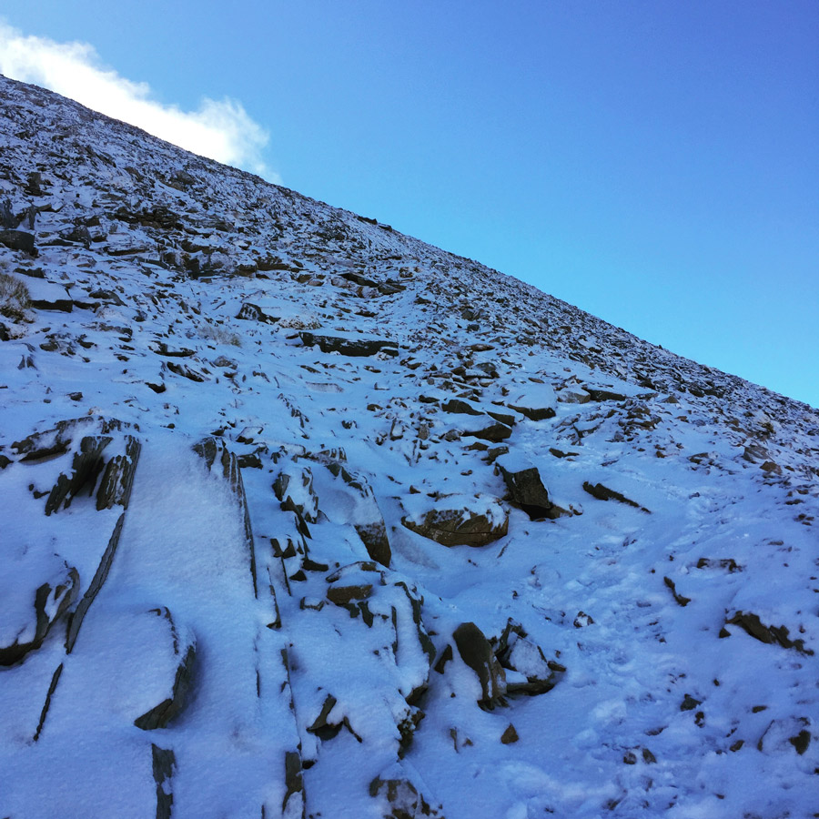
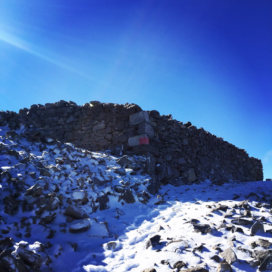

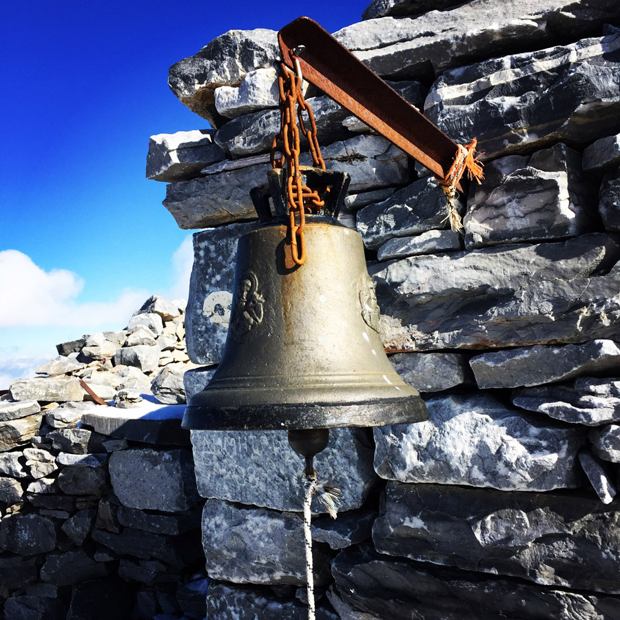
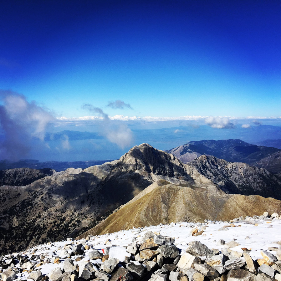
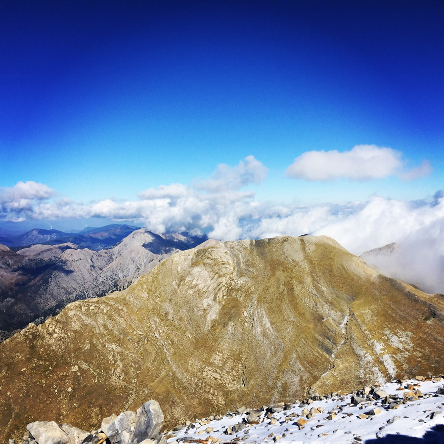
We have reached the top of Mount Taygetos, Profitis Elias -via Athanati Rachi- in about 4 hours and 45 minutes. On the top we have had a warm shepherd’s tea and some snacks. The view from the top of Mount Taygetos is stunning. From the top we can see the Gulf of Messinia, Kalamata, Mount Parnonas and surrounding peaks such as “Chalasmeno” peak.
Details of the climb:
- Location: Taygetos
- Starting Point: Maganniaris Spring
- Ending Point: Profitis Elias Peak 2.407 m.
- Minimum Elevation: 980 m
- Maximum Elevation: 2.407 m.
- Elevation Gain: 1.427 m.
- Total Distance: 17.8 km
- Difficulty: Difficult
- Water Features: None during summer and early Autumn
Bellow you can see the route we have followed on a map and on 3D:
Subscribe & Stay Informed
Enter your email address to follow this blog and receive notifications of new posts by email
Other Hiking routes on Mount Taygetus (Taygetos)
Except Prophet Elias there are even more hiking routes and locations on this mountain range which will astonish you with their wild beauty and will make you forget your everyday problems.
Mystras – Taygeti – Moni Faneromenis
This route starts from Mystras (320m altitude) and after 2,5 kilometers and 1 hour of hiking you will end up to Taygeti village (700m altitude). At the entrance of this village you will see a beautiful fountain. Here starts another path which, after two hours of walking, ends up to Moni Faneromenis where you will find the homonym monastery.
Anavriti settlement – Agios Ioannis (St. John) The Anavriti settlement is connected with a lot of hiking paths. One of the most beautiful routes is the stone path which ends up to Agios Ioannis after one hour of walking. This route is about 3,5km and passes through a gorge.
Koumousta – Moni Golas
Koumousta is a medieval village built at 750 meters altitude on the Taygetos Mountain. From this village you could start your beautiful hiking route of 3,5 kilometers which ends up to the monastery called Moni Golas. After about 1 ½ hour you will see the monastery which is one of the seven monasteries in Greece which host images of ancient Greek philosophers.
Koumousta – EOS shelter of Taygetos
From Koumousta there is another beautiful route which crosses the forest of Pentavlon (1200m altitude). During the route you will come across springs, waterfalls and lakes. Along the route you will find another path which leads to the mountain shelter of Taygetos.
Support the journey — buy me a coffee
I share these articles and the climbing guidebooks because I love the outdoors, and they’ll always be free. If they’ve helped you, help me keep them coming. Click the button to support my work.
Check out previous ascent on Mount Taygetus (Taygetos) here:
Before you leave this blog check out the following map
Below: This map marks all the mountaineering adventures that have been featured on Olympus Mountaineering so far, including several Sport climbing crags – Select full screen to expand, zoom in for more detail, or click on a marker for a link to the post.

Pingback: Taygetus Mountain Crossing Pentadaktylos (Five Fingers) – Anavriti – Tsarkos – Spanakaki – Sidirokastro – Athanati Rachi – Profitis Elias – EOS Refuge – Olympus Mountaineering
Pingback: Taygetus Mountain E4 path – Teygetus Mountain Refuge – Anavriti – Olympus Mountaineering
I’m thinking of hiking from the Sparta side of Taygetus to the coast at Kardamyli.. overnighting in the refuge.
Does anyone have the route and exact distance?
I’d really appreciate any input.
LikeLike