Hiking in the Agrafa region is one of our favourite activities. Having already hiked and climbed Voutsikaki, Five Towers, Papadimitri, Pouli and Svoni, we have decided to visit another trail path in the mountainous region of Agrafa.
Agrafa is a mountainous region in Evrytania and Karditsa regional units in mainland Greece, consisting mainly of small villages. It is the southernmost part of the Pindus range. The Agrafa region is famous for its complete autonomy throughout the entire 400 years of Ottoman Turkish occupation of Greece. The word agrafa literally translates to unwritten which means unregistered or uncharted; because the Ottomans were unable to conquer this region, the area and its population were not recorded in the Sultan’s tax register. As a result the people were usually free to conduct their business and customs as they pleased without Ottoman influence.
Panagia Pelekiti
We initially drove from our camp area towards a monastery named Panagia Pelekiti. The Monastery of Panagia Pelekiti [the Virgin Hewn in Rock], is one of the rarest religious monuments of the 16th century. It is located to the northwest of the village of Karitsa, built on a high, steep rock (1400m.), with an imposing presence. Tradition says that it was given the name “Pelekiti” (hewn in rock) because, on the advice of the Virgin Mary herself, the almost vertical rock on which it was built had to be hewn with wooden tools.
The construction of the monastery began in the late 15th century by the Pastor Porfyrios, and it was completed in 1529 by the Latter Sainted Martyr Damianos. It comprises two churches: one devoted to the Ascension of Christ Savior, with Cretan School frescoes from 1654, and the other dedicated to Panagia Faneromeni [the Virgin Mary Manifest] with frescoes dating from 1666. Both churches have gold-leaf templums with Cretan School illustrations.
It was abandoned by the monks in the 1920s; although it suffered various disasters and thefts in subsequent years, in 1990 it underwent an exemplary renovation by the Ephorate of Byzantine Antiquities. Visitors can admire many important relics here, such as holy gospels, manuscripts, church vessels, etc. The monastery celebrates on August 15th, the Assumption of the Virgin.
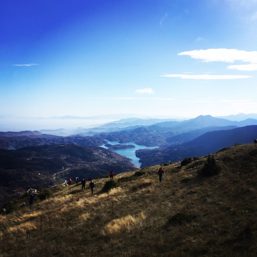
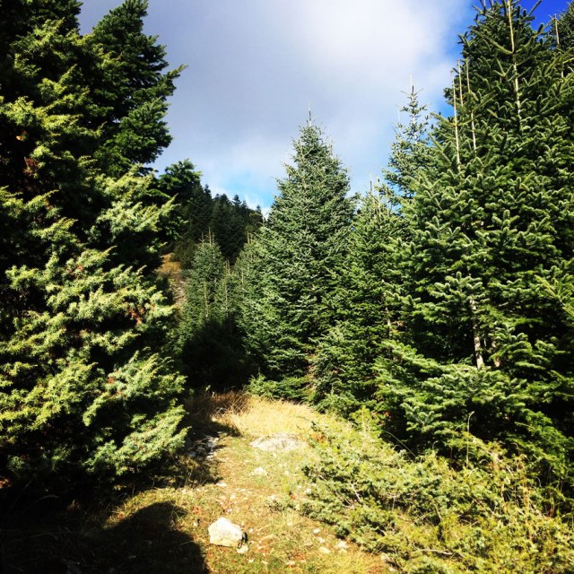
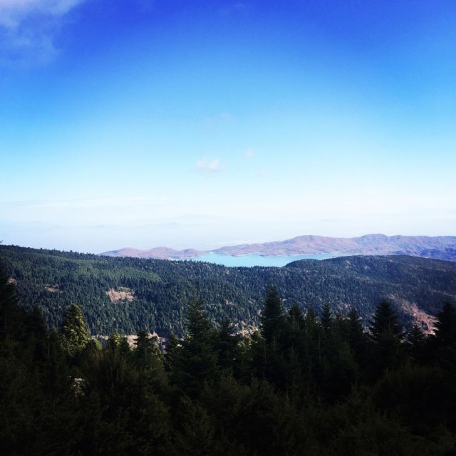
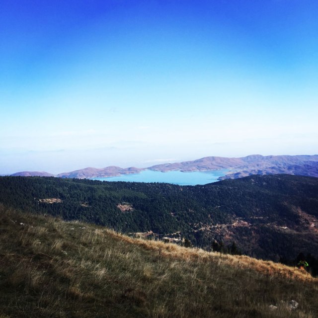
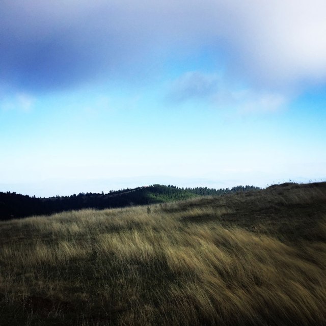
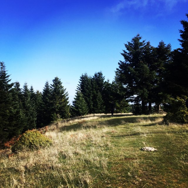
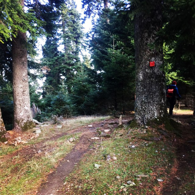
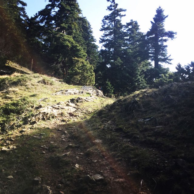
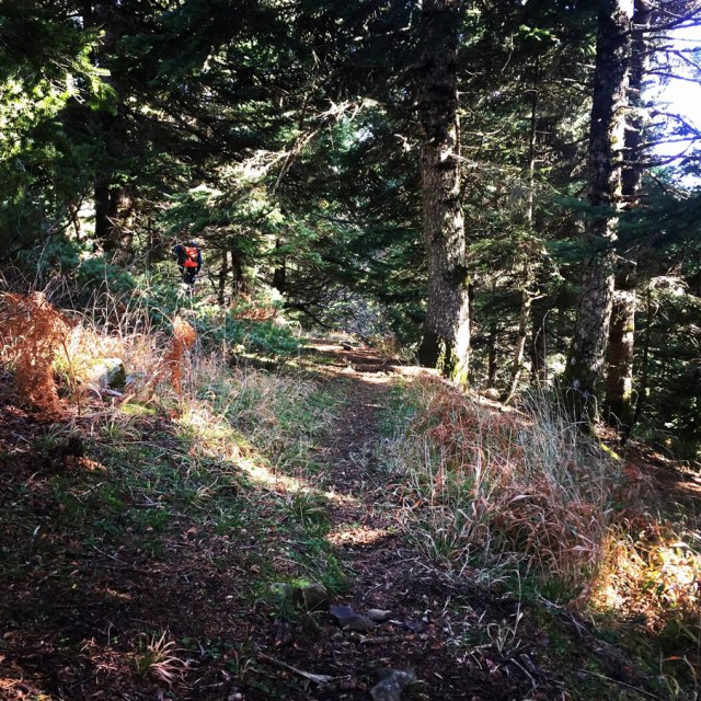
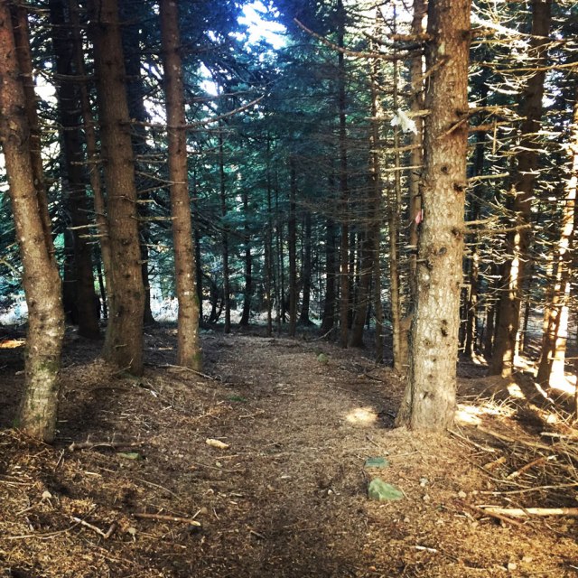
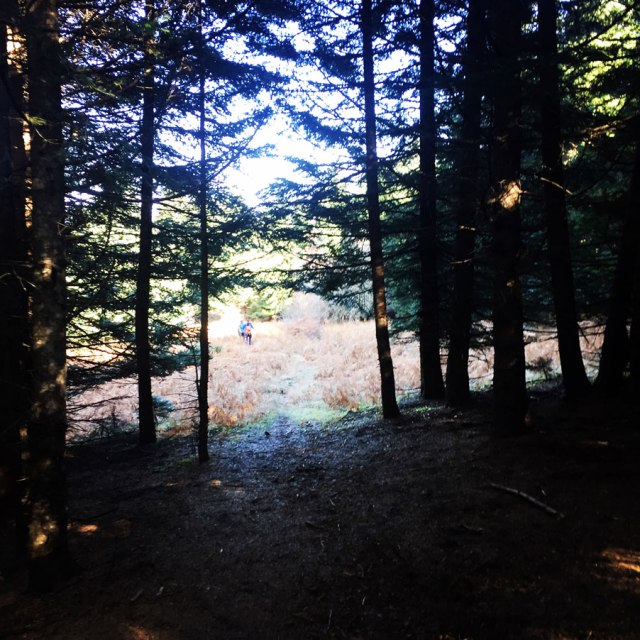
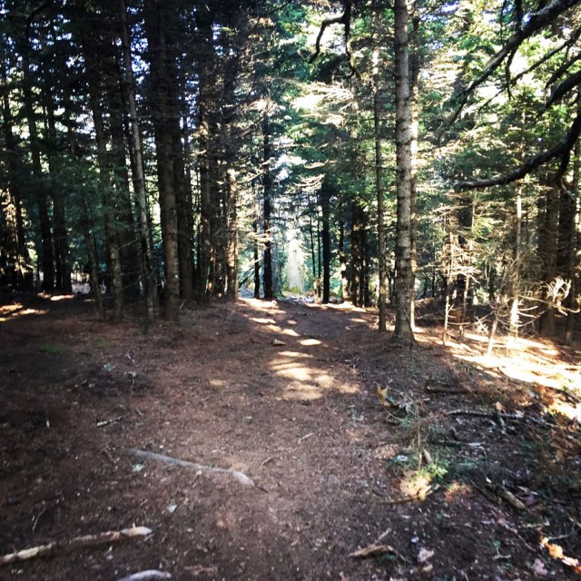
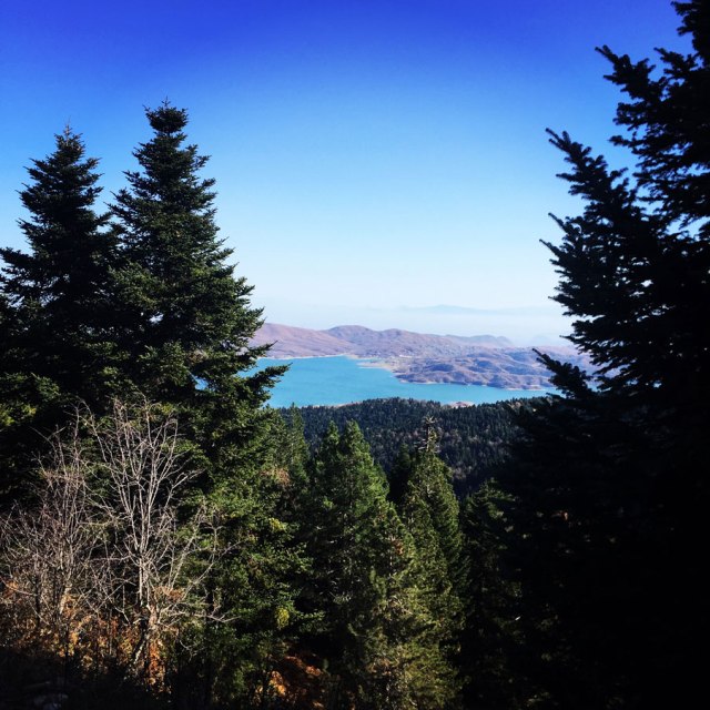
From this monastery the trail starts and moves through a beautiful pine forest that oversees the Plastira lake.
Karamanoli Ski Center
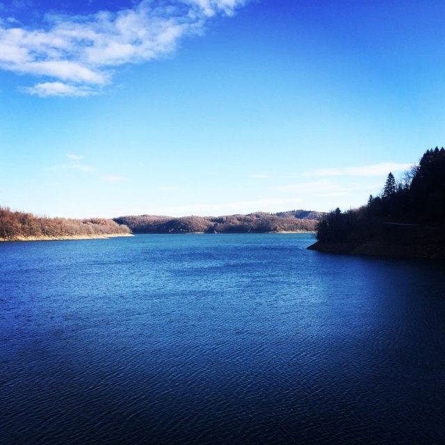
Once reached the Karamanoli peak (1.820 m.), we have hiked towards the Agrafa Ski Center. At the east side of South Pindos sierra, close to Voutsikaki top (2.152 m.) and at an altitude of 1.530 meters. The ski center facilities operate every weekend from 9 a.m. to 3.30 p.m. Karamanoli Ski Center is close to the Plastira Lake and its surrounding villages, a very beautiful area, which lately has an impressing development.
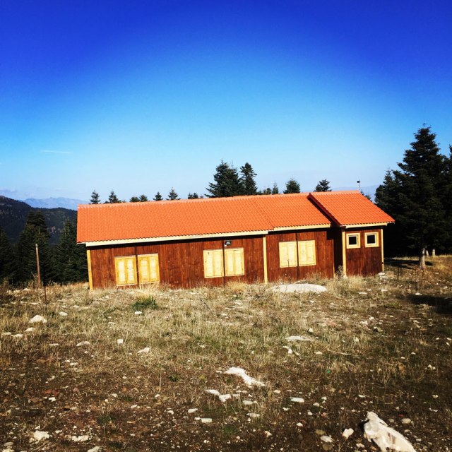
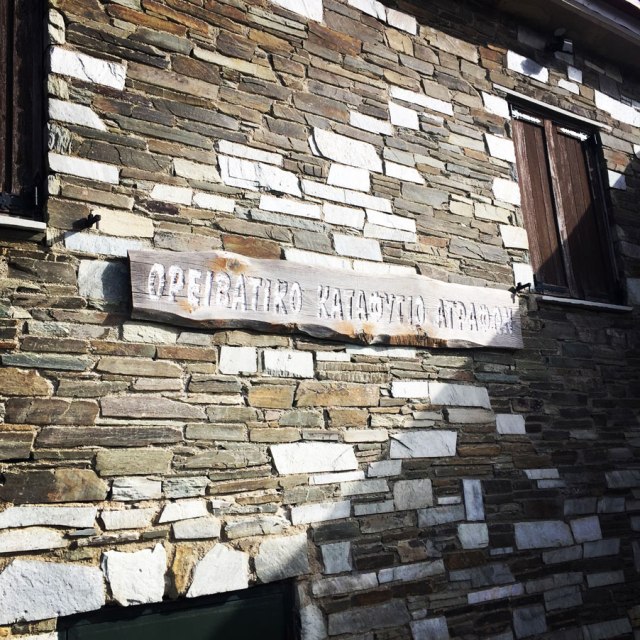
Agrafa Alpine Shelter
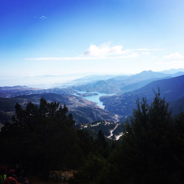
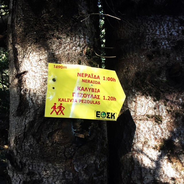
The Agrafa Alpine Shelter lies at an altitude of 1,536 m at “Karamanoli” location near Neraida village (6 km far), at Agrafa Nevropolis Municipality. It is about a stone two-story building. The Shelter has wonderful views to Plastiras Lake while its location represents the starting point for most trekking routes in Agrafa Mountain Range.
It provides basic services (central heating, fireplace, bunk-beds, blankets, kitchen, bathroom, dining and cooking facilities, and a comfortable dining room) while 24 people can stay overnight. It also provides mountain rescue equipment and a snowmobile.

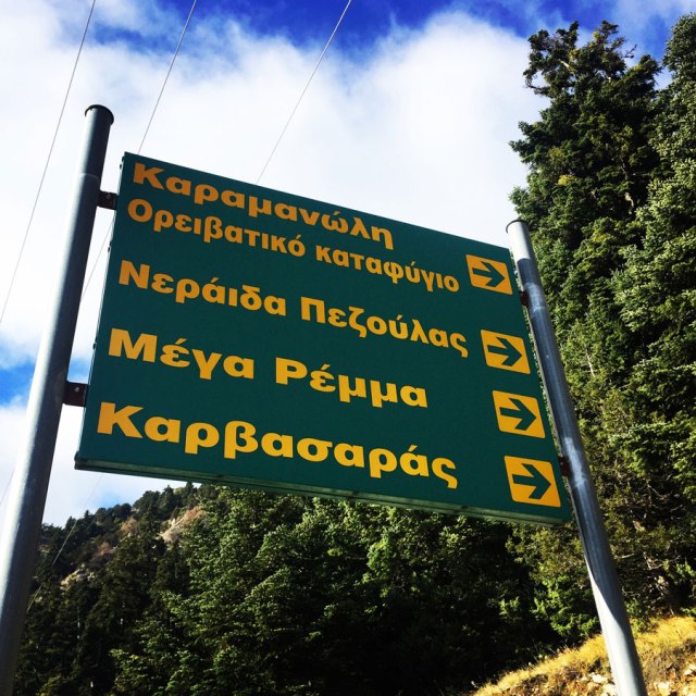
The Agrafa’s Mountain Shelter is the starting point for a network of hiking routes which have properly marked as guidance for hikers. The difficulty levels are different in every path. Agrafa’s Mountain Shelter is located at an altitude of 1.536m in the area Karamanoli, near Neraida village (6 km far). The view to Lake Plastira is breath-taking.
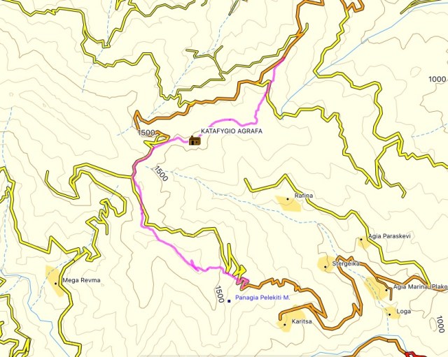
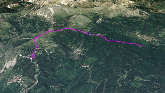
Details of the hike:
- Location: Agrafa
- Starting Point: Pelekiti Monastery
- Ending Point: Neraida village
- Trail Signs: Well signed path
- Minimum Elevation: 1.300 m
- Maximum Elevation: 1.620 m.
- Elevation Gain: 405 m.
- Total Distance: 6.3 km
- Difficulty: Easy
- Water Features: Yes
Bellow you can see the route we have followed on a map and on 3D:
See previous Hiking and Mountaineering ascent in the Agrafa region here:

Pingback: Hiking to Anthochori Waterfall – Agrafa Mountains, Lake Plastira, Greece – Olympus Mountaineering