Hiking in Ancient Epidaurus – Mount Myronia – Sanctuary of Asklepios

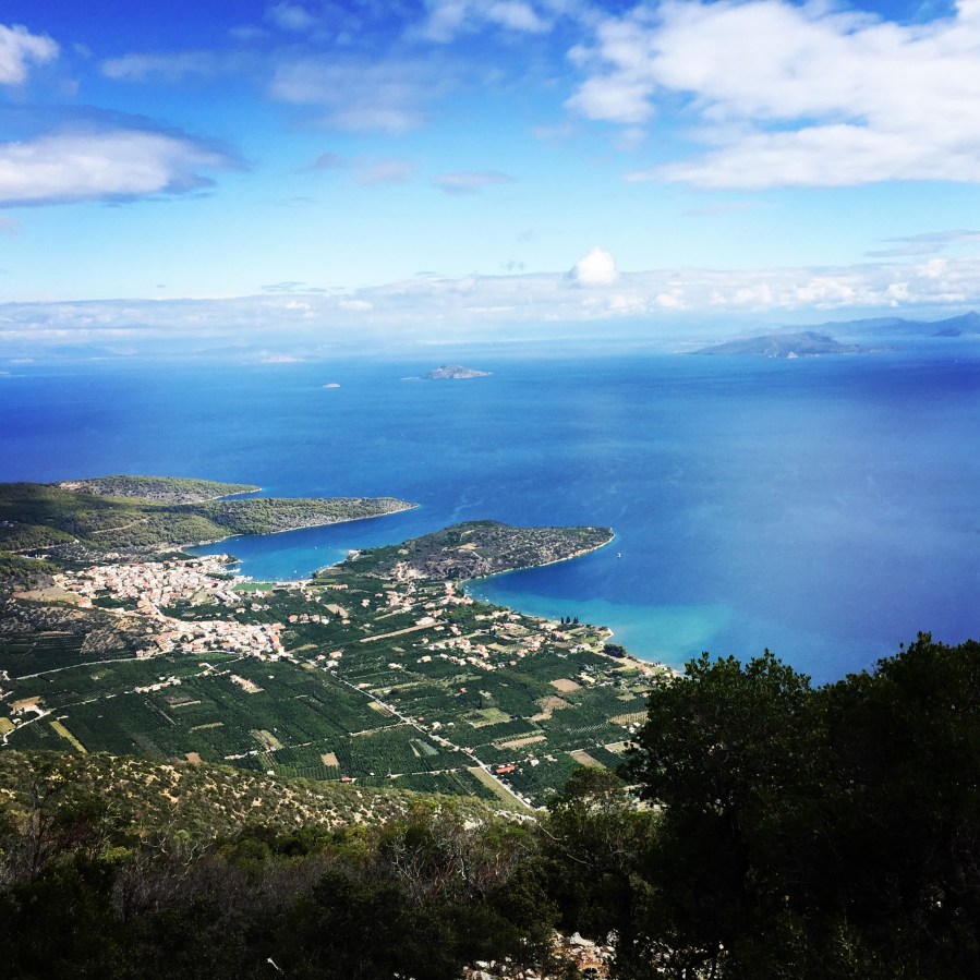
Flanked by two gulfs, the Saronic and the Argolic, the land of Epidavros (Epidaurus) is a blessed region of natural beauty and with a long historic heritage.

Travellers take a journey into myth and history, along the rocky, wooded slopes of Mount Arachnaion, the breathtaking beaches and sheltered creeks with fishing boats and sailboats. Fortresses, ancient roads with bridges and guard posts, tombs, Byzantine churches, imposing theatres and impressive monuments make up the “canvas” of the region of Epidaurus.

Epidaurus (Ancient Greek: Ἐπίδαυρος, Epidauros) was a small city in ancient Greece, on the Argolid Peninsula at the Saronic Gulf. Two modern towns bear the name Epidavros Palaia Epidavros and Nea Epidavros. Our starting point for this day hike was nearby Ancient/Palaia Epidavros.
Ancient_Epidavros_Myronia_Epidavros_Theater_1695
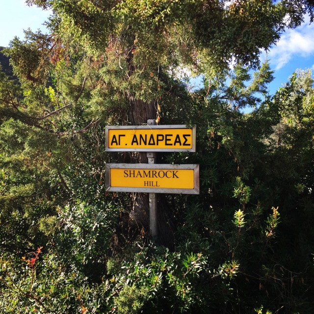
Starting point of the path

Continue reading “Hiking in Ancient Epidaurus – Mount Myronia – Sanctuary of Asklepios” →
Mount Tymfi (Pindos) Thru-Hike Summary

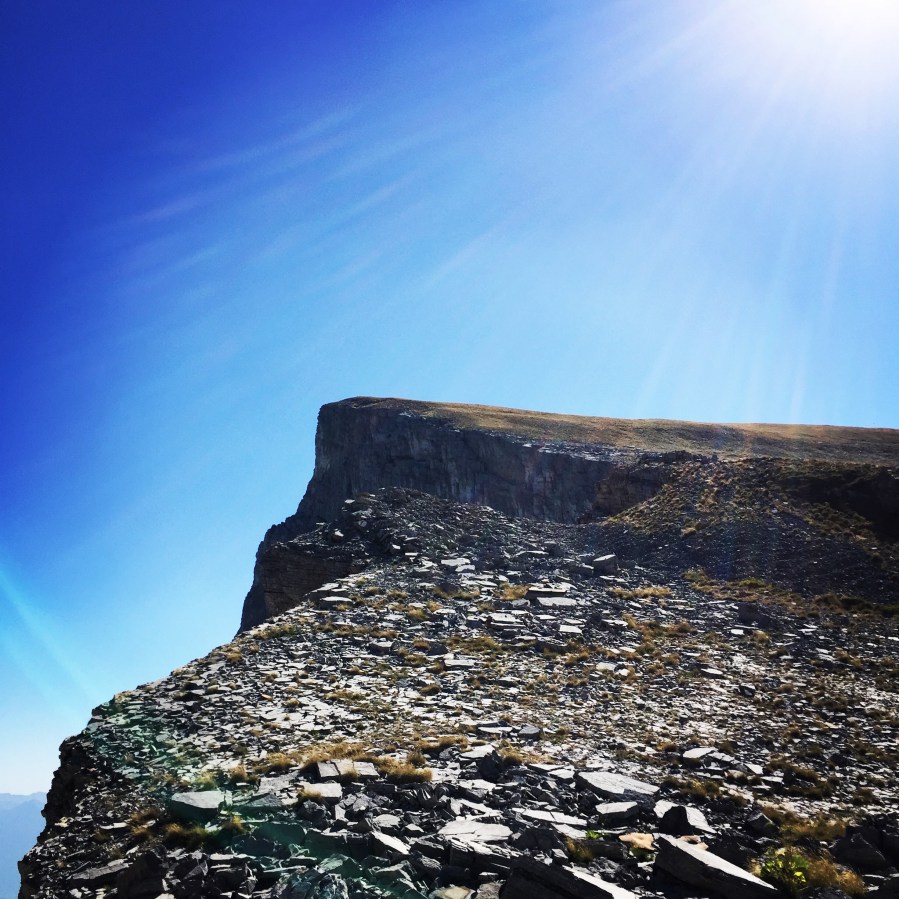
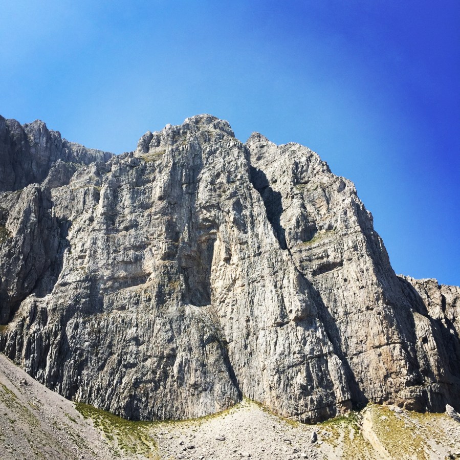
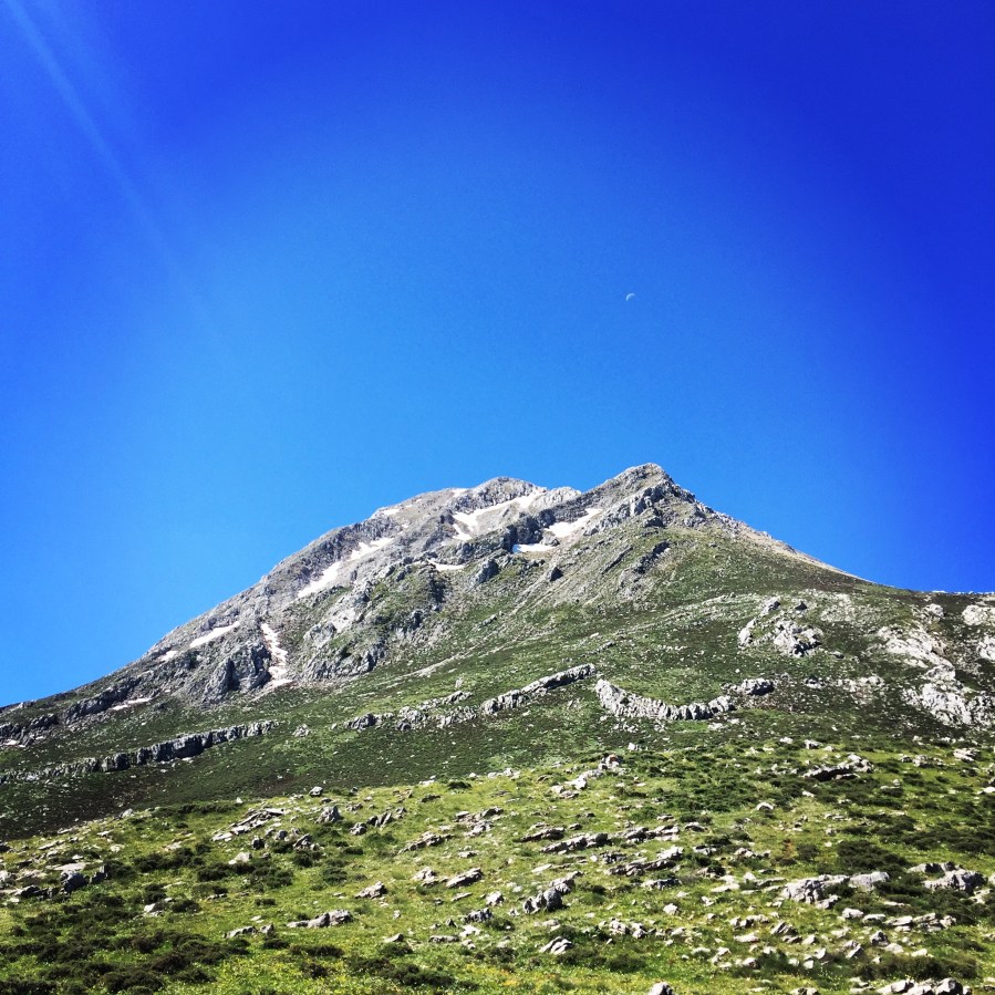
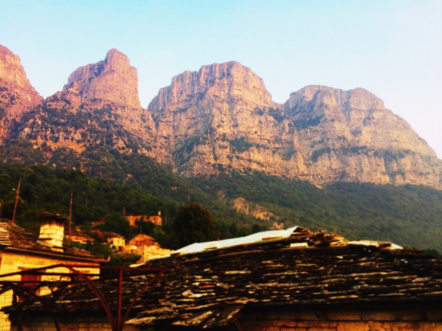
Tymfi is a mountain in the northern Pindus mountain range, northwestern Greece. It is part of the regional unit of Ioannina and lies in the region of Zagori, just a few metres south of the 40° parallel. Tymfi forms a massif with its highest peak, Gamila, at 2,497 m (8,192 ft), being the sixth highest in Greece.

This is a short summary post with the highlights of the Thru-Hike of mountain Tymfi. If you wish to see the individual posts which contain detailed information and more photos, you can click to the following links:

Mount Tymfi (Pindos) Thru-Hike Part 1 – Kapesovo – Mezaria Gorge – Vikos Canyon – Mikro Papingo

Mount Tymfi (Pindos) Thru-Hike Part 2 – ASTRAKA REFUGE – ASTRAKA PEAK

Mount Tymfi (Pindos) Thru-Hike Part 3 – Dragon Lake (Drakolimni)

Mount Tymfi (Pindos) Thru-Hike Part 4 – GAMILA – STOMA – MEGAS LAKOS -TSEPELOVO – KAPESOVO

Mount_Tymfi_(Pindos)_Thru-Hike_Part_01_Kapesovo_Mezaria_Gorge_Vikos_Canyon_Mikro-Papingo_0605
Vikos Canyon as see from Beloi

Continue reading “Mount Tymfi (Pindos) Thru-Hike Summary” →

Mount Tymfi (Pindos) Thru-Hike Part 4 – GAMILA – STOMA – MEGAS LAKOS -TSEPELOVO – KAPESOVO

This is the fourth and final part of the Mount Tymfi (Pindos) Thru-Hike. In case you haven’t checked the first, second and third parts, feel free to check it out here:

Mount Tymfi (Pindos) Thru-Hike Part 1 – Kapesovo – Mezaria Gorge – Vikos Canyon – Mikro Papingo

Mount Tymfi (Pindos) Thru-Hike Part 2 – ASTRAKA REFUGE – ASTRAKA PEAK

Mount Tymfi (Pindos) Thru-Hike Part 3 – Dragon Lake (Drakolimni)

Mount_Tymfi_(Pindos)_Thru-Hike_Part_03_Dragonlake_Drakolimni_0716
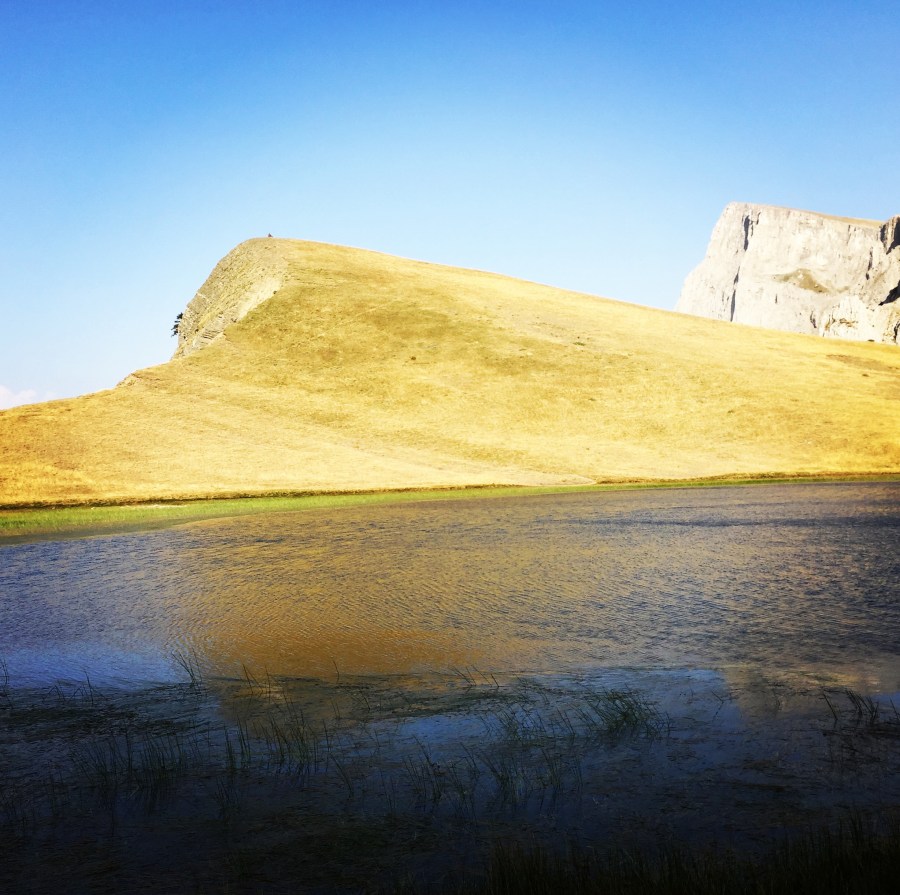
Waking up in Drakolimni (Dragon Lake)

Continue reading “Mount Tymfi (Pindos) Thru-Hike Part 4 – GAMILA – STOMA – MEGAS LAKOS -TSEPELOVO – KAPESOVO” →

Mount Tymfi (Pindos) Thru-Hike Part 3 – Dragon Lake (Drakolimni)

This is the third (of the four) part of the Mount Tymfi (Pindos) Thru-Hike. In case you haven’t checked the first part and second part, feel free to check it out here:

Mount Tymfi (Pindos) Thru-Hike Part 1 – Kapesovo – Mezaria Gorge – Vikos Canyon – Mikro Papingo

Mount Tymfi (Pindos) Thru-Hike Part 2 – ASTRAKA REFUGE – ASTRAKA PEAK

Mount_Tymfi_(Pindos)_Thru-Hike_Part_03_Dragonlake_Drakolimni_0694

Continue reading “Mount Tymfi (Pindos) Thru-Hike Part 3 – Dragon Lake (Drakolimni)” →

Mount Tymfi (Pindos) Thru-Hike Part 2 – ASTRAKA REFUGE – ASTRAKA PEAK

This is the second (of the four) part of the Mount Tymfi (Pindos) Thru-Hike. In case you haven’t checked the first part, feel free to check it out here:

Mount Tymfi (Pindos) Thru-Hike Part 1 – Kapesovo – Mezaria Gorge – Vikos Canyon – Mikro Papingo

Mount_Tymfi_(Pindos)_Thru-Hike_Part_02_0648
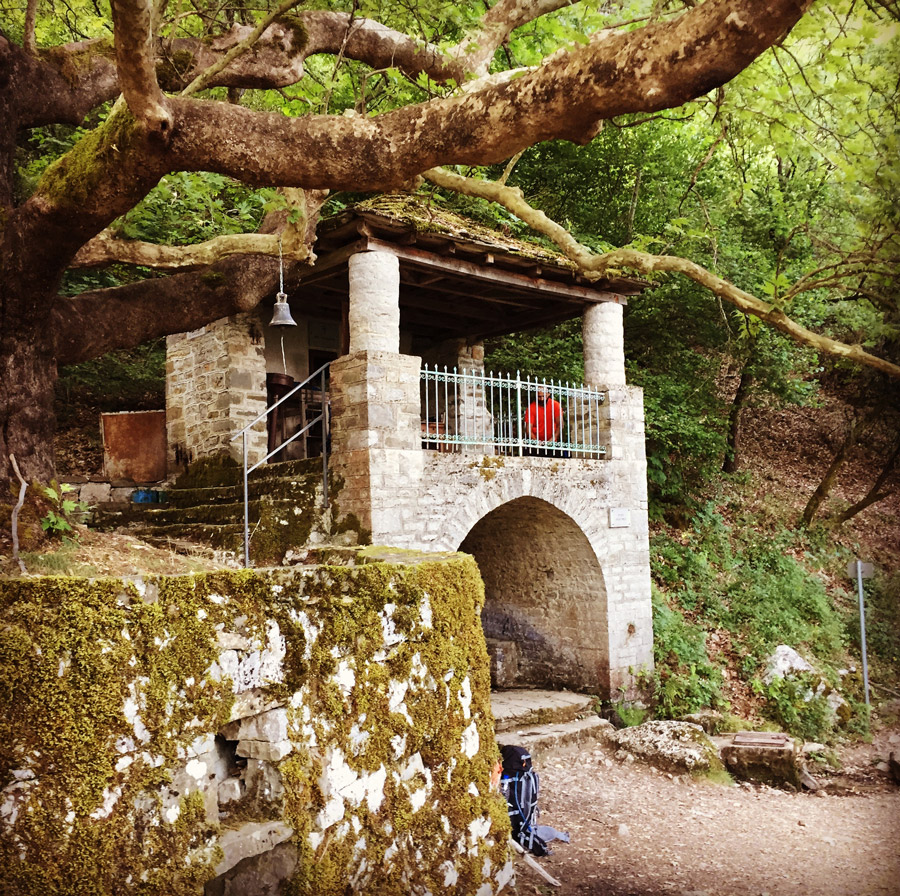
Avragonia Church and water fountain
Continue reading “Mount Tymfi (Pindos) Thru-Hike Part 2 – ASTRAKA REFUGE – ASTRAKA PEAK” →

Mount Tymfi (Pindos) Thru-Hike Part 1 – Kapesovo – Mezaria Gorge – Vikos Canyon – Mikro Papingo

Tymfi is a mountain in the northern Pindus mountain range, northwestern Greece. It is part of the regional unit of Ioannina and lies in the region of Zagori, just a few metres south of the 40° parallel. Tymfi forms a massif with its highest peak, Gamila, at 2,497 m (8,192 ft), being the sixth highest in Greece.

As mentioned on a previous post, we have decided to do a complete thru-hike of Mount Tymfi. This is the 1st of a total 4 parts in which we will try to show you our thru-hike in this wonderful mountain that combines beautiful villages, green forests, deep canyons, rivers, high-peaks and even alpine lakes.

Mount_Tymfi_(Pindos)_Thru-Hike_Part_01_Kapesovo_Mezaria_Gorge_Vikos_Canyon_Mikro-Papingo_0600
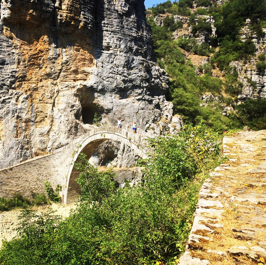
One of the many stone bridges of Epirus

ARRIVING IN KAPESOVO AND VISITING BELOI

Continue reading “Mount Tymfi (Pindos) Thru-Hike Part 1 – Kapesovo – Mezaria Gorge – Vikos Canyon – Mikro Papingo” →

Mount Tymfi Expedition Preparation – Summer 2017

Tymfi is a mountain in the northern Pindus mountain range, northwestern Greece. It is part of the regional unit of Ioannina and lies in the region of Zagori, just a few metres south of the 40° parallel. Tymfi forms a massif with its highest peak, Gamila, at 2,497 m (8,192 ft), being the sixth highest in Greece.

The massif of Tymfi includes in its southern part the Vikos Gorge, while they both form part of the Vikos–Aoös National Park which accepts over 100,000 visitors per year. The former municipality of the same name owed its name to the mountain. It also gave its name to the ancient land known as Tymphaea and to the Tymphaeans, one of the tribes in Ancient Epirus.

Continue reading “Mount Tymfi Expedition Preparation – Summer 2017” →

Erymanthos Mountain Spring Ascent

Erymanthos is a mountain range in the southern part of Achaea and the northeastern part of Elis. With an elevation of 2,224 meters, it is the fourth-tallest mountain in the Peloponnese peninsula. The summit is located on the boundary of Achaea and Elis. Historically, Mount Erymanthos was part of northwestern Arcadia, where it was the second-tallest mountain range. The northern portion belonged to the historic Achaea.

Erymanthos_Mountain_2017_01

Continue reading “Erymanthos Mountain Spring Ascent” →

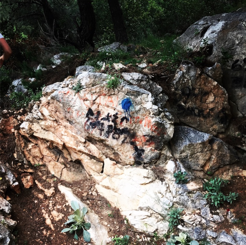
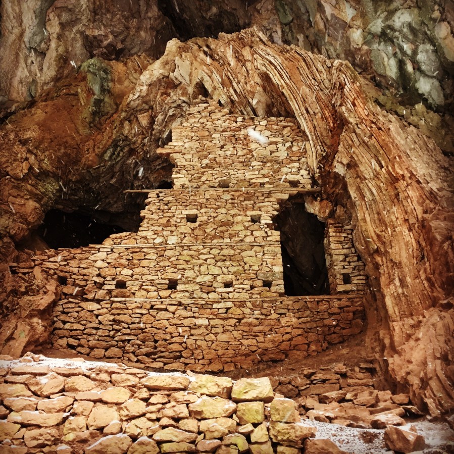
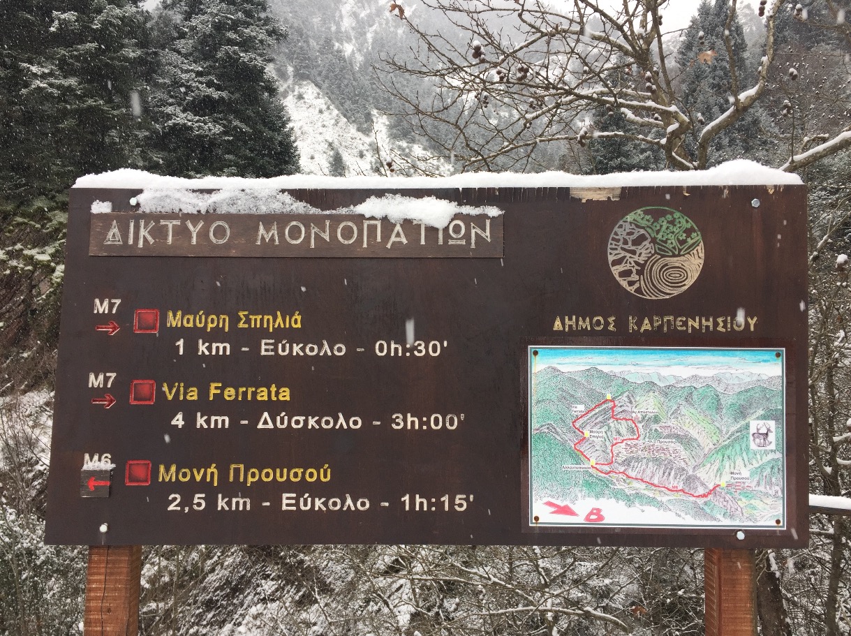
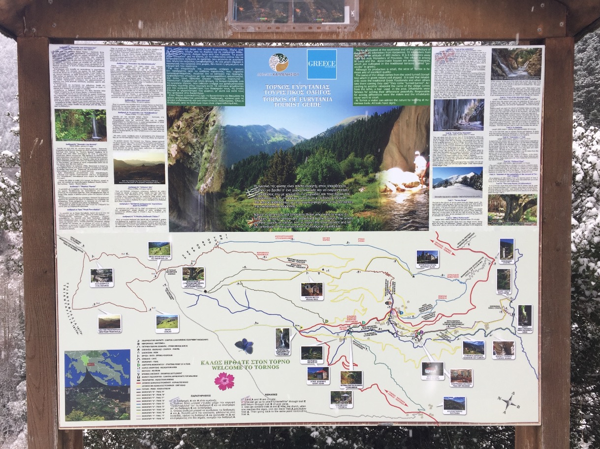
Hiking in the Black Cave Gorge of Evrytania

Evrytania is almost entirely formed of mountains, including the Tymfristos and the Panaitoliko in the south. Its rivers include the Acheloos in the west, Agrafiotis to the east, and Megdova in the east flowing down to the Ionian Sea. It is one of the least populated regional units in Greece. The area borders Aetolia-Acarnania to the west, southwest and south (west over the Acheloos river), Karditsa regional unit to the north, and Phthiotis to the east. Evrytania also features a famous skiing resort located near Karpenisi on the Tymfristos mountain.

Black_Cave_20Black_Cave_21

Continue reading “Hiking in the Black Cave Gorge of Evrytania” →