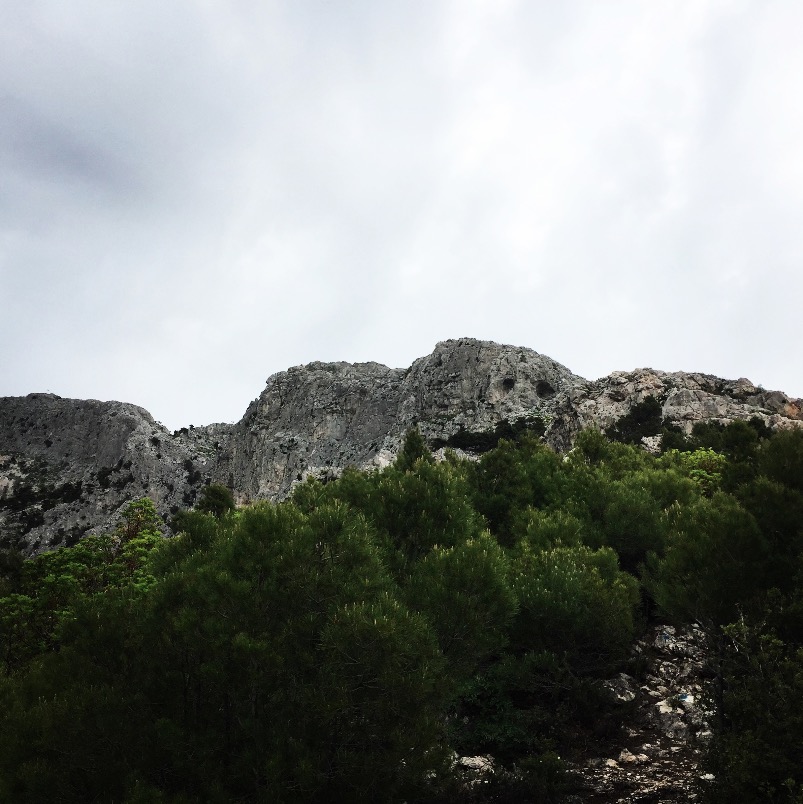
Our last visit to the most visited mountain of Greece (next to Olympus) was during winter time. It was a beautiful but relatively easy ascent. This time, we have decided to visit the famous climbing rout of Parnitha, the Flabouri Ridge.
Hiking is a very popular activity in Parnitha. Two climbing associations, along with the Forest Service of Parnitha have created a dense network of trails, that covers the whole mountain range. Numerous paths pass along springs, thick forests and pastures. There are many options, according to the altitude difference that someone intends to cover (0 -800m.), the distance (500-5,000m.) and the time needed (30΄- 6 hours). Several routes give the opportunity to observe different vegetation types: firs, pines, oaks, junipers, plane-trees, phrygana.
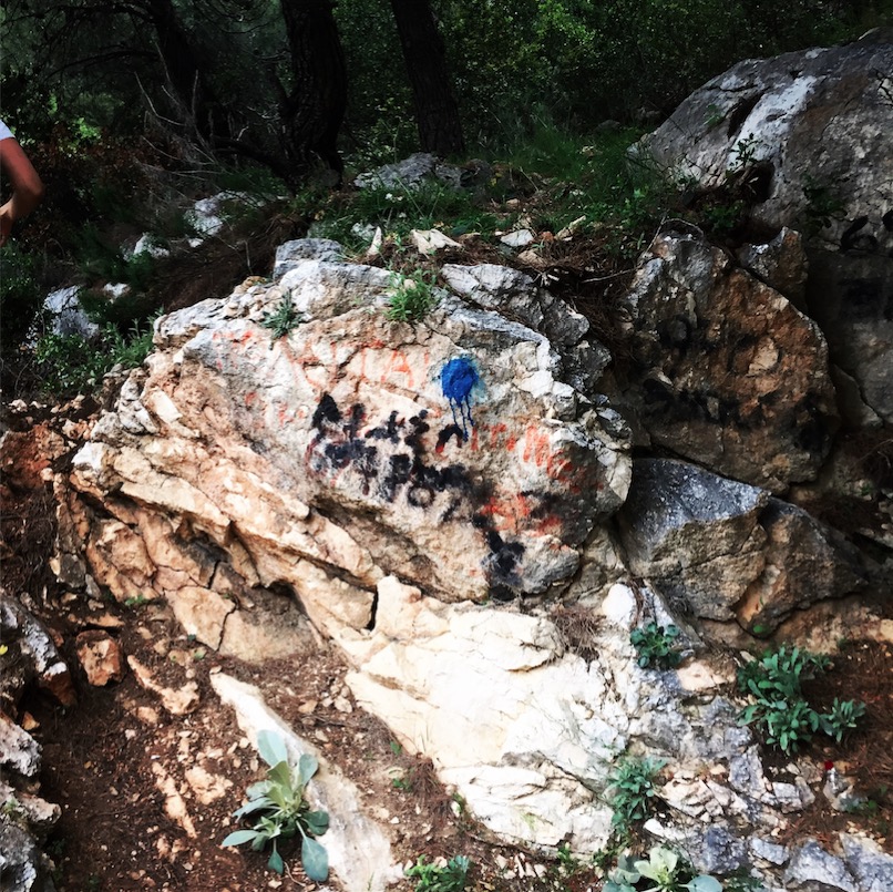
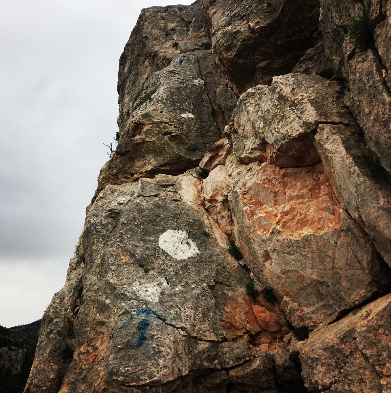
The most important trails are indicated either by simple red signs on rocks and trees or by red tapes or finally, by special signs for each path, such as red triangles, red squares, yellow rhombs etc. In this way, following the same shape and colour of the signs, one can find the path and follow it to its end.

Check out more FREE Guidebooks
Download now for free! Explore breathtaking landscapes and conquer thrilling heights with our collection of guidebooks and topos.
Don’t miss out on this opportunity to elevate your outdoor adventures. Click, download, and let the exploration begin!
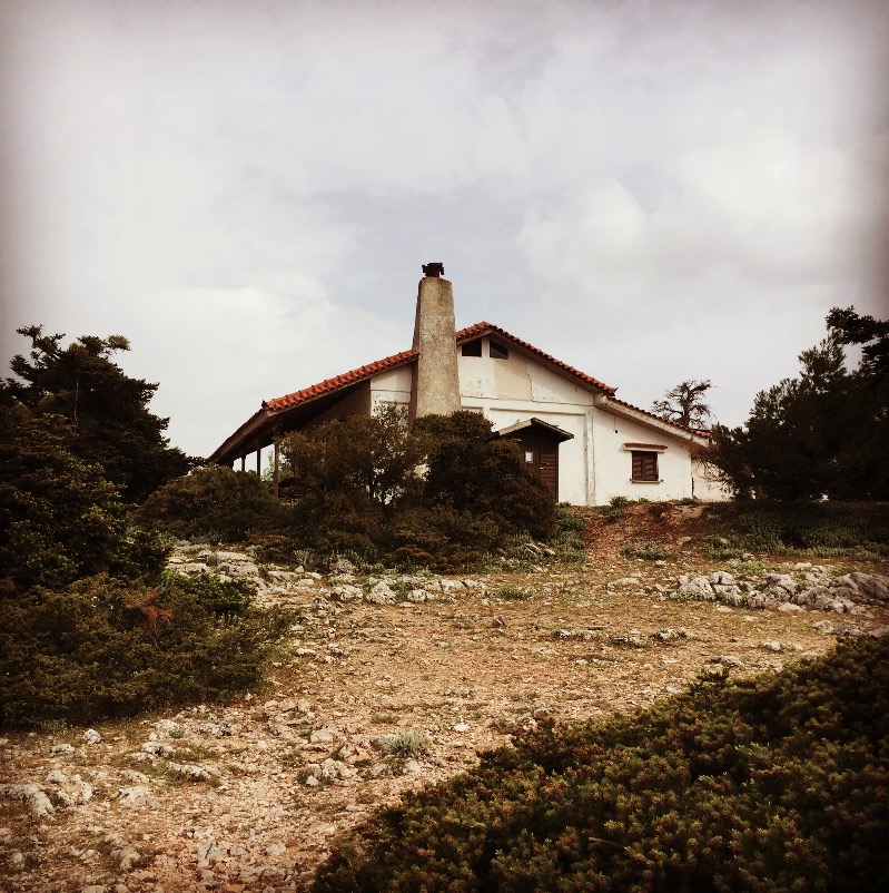
Furthermore, there are two mountain refuges, one at Mpafi, owned by the Hellenic Alpine Club of Athens, and the other one at Flampouri, belonging to the Hellenic Alpine Club of Acharnes. Both shelters are available for resting and sleeping.
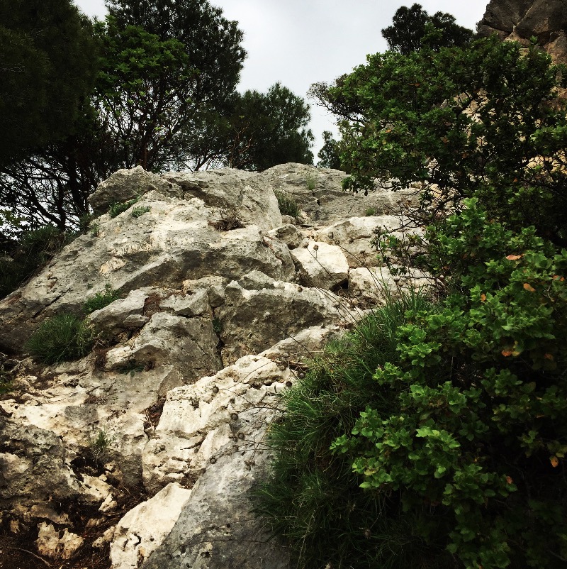
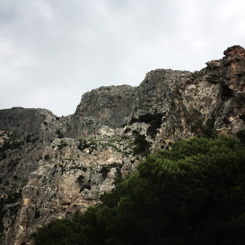
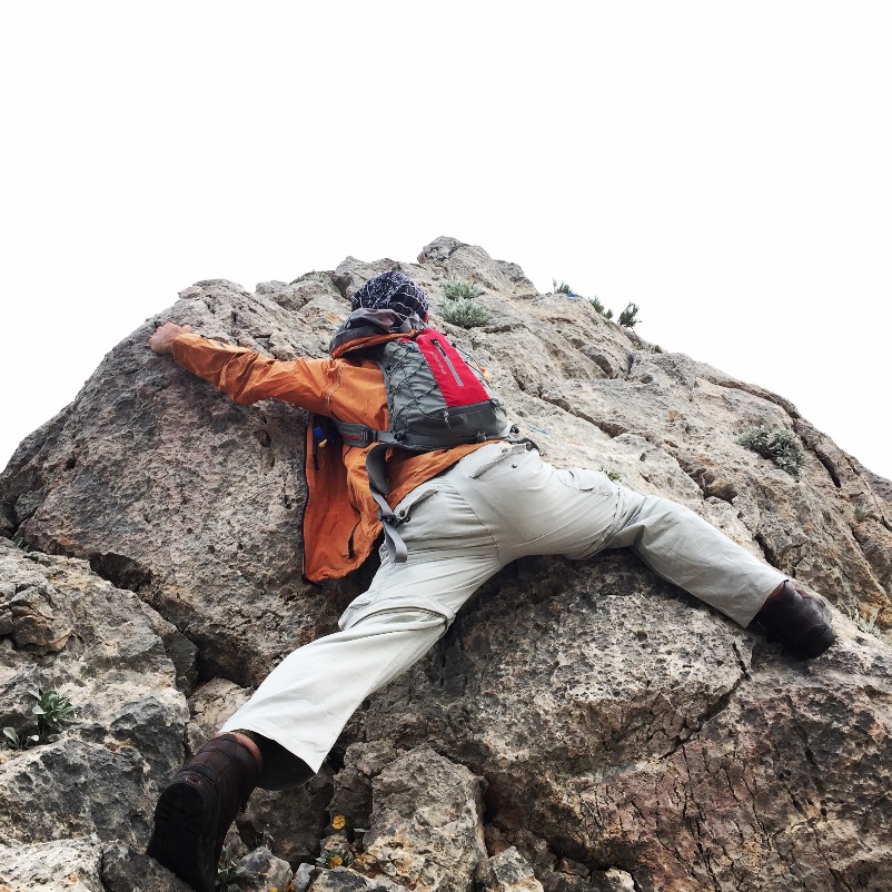
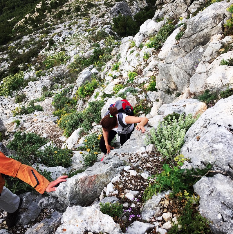
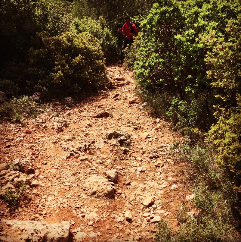
Our climbing ascent started from the edge of the Thrakomakedones suburb. We have to follow the blue signs and soon the ascent is very steep. about 1 kilometre further on we have the first rocky passages where we need to either climb or scramble. The climbing part is up to IV degree, so not extremely difficult, but nevertheless is an exposed climb.
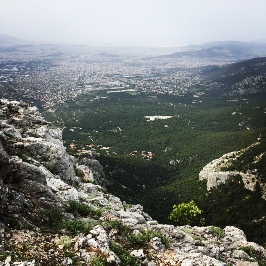
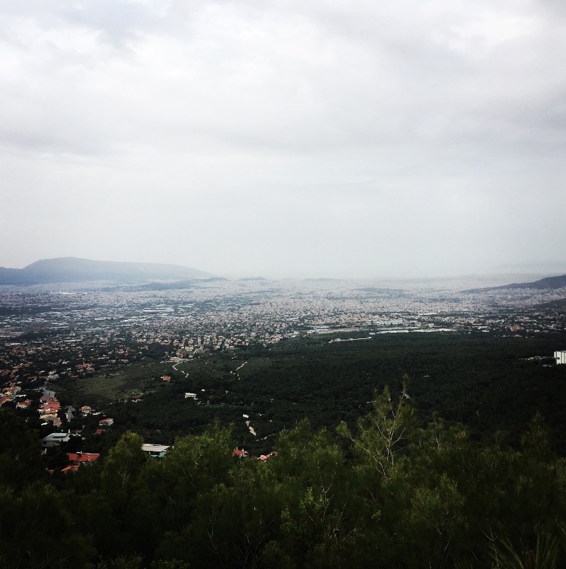
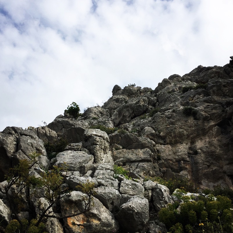
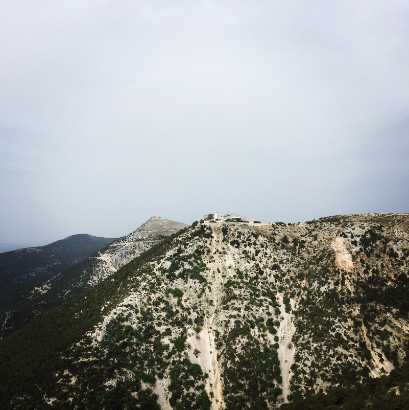
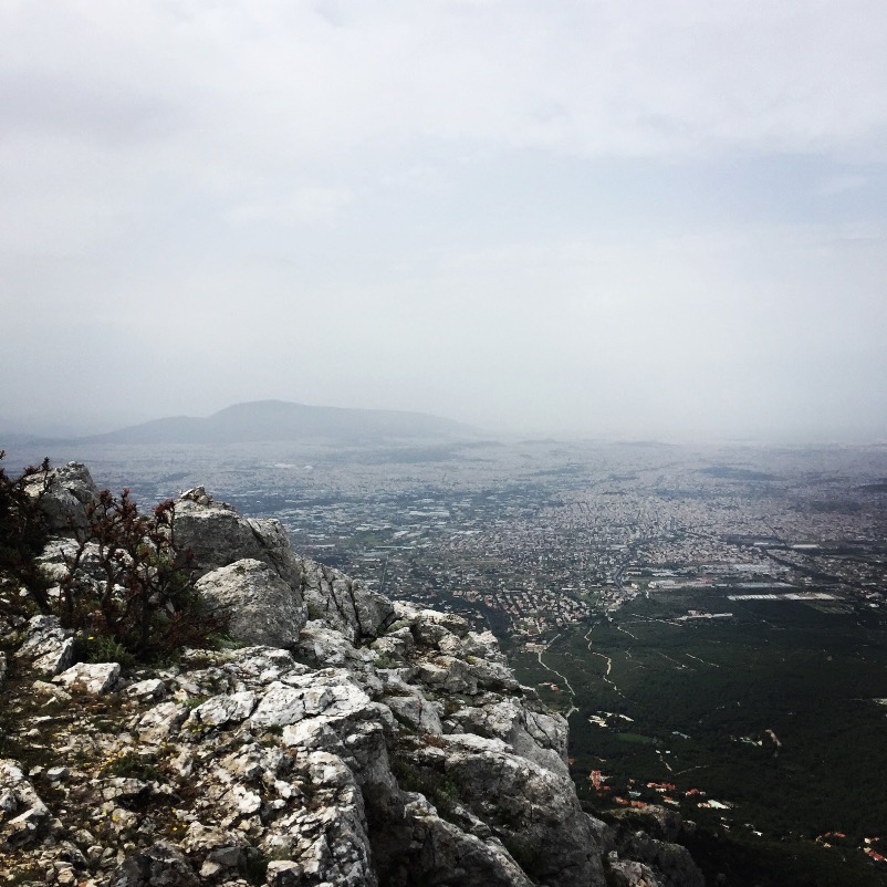
The Flabouri ridge besides being a beautiful route, provides amazing view towards the mountain, but also towards the city of Athens. Actually, on a clear day, it is easy to see the sea side and the port of Pireas.
Subscribe & Stay Informed
Enter your email address to follow this blog and receive notifications of new posts by email
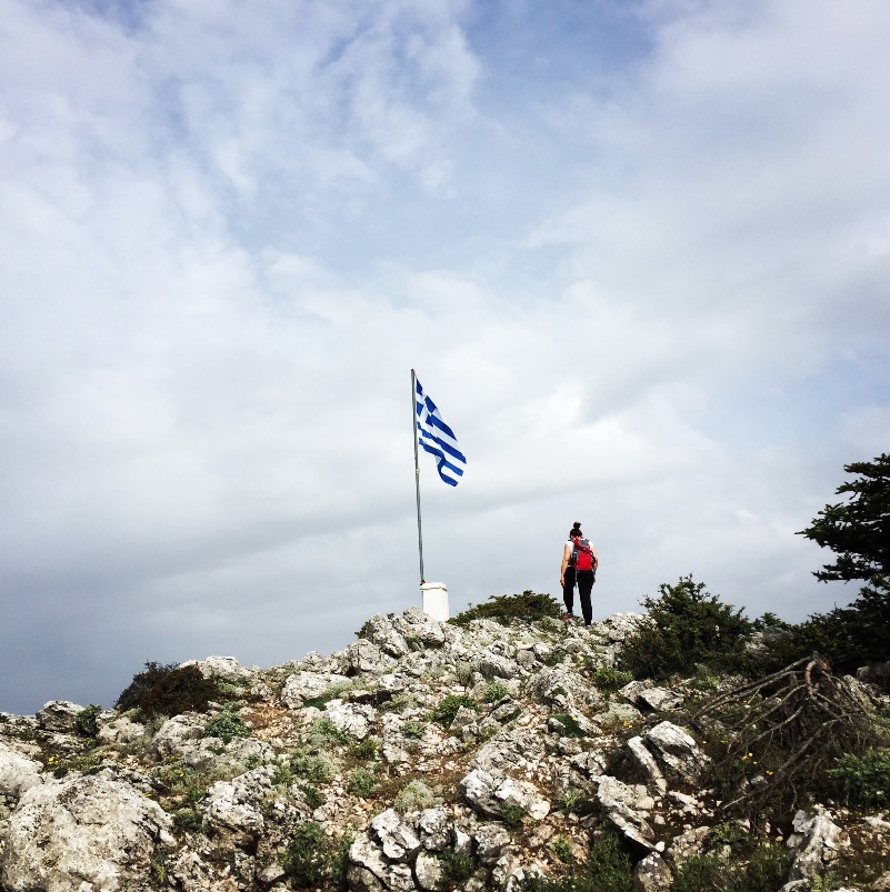
We have managed to move rather fast on the rock and within 1 hour we were already in the refuge of Flabouri where we enjoyed a freshly made Greek coffee. Having enjoyed the coffee, we moved back towards our starting point.
It was a very nice day where we were able to do some training and sharpen our climbing techniques.

Before you leave this blog check out the following map
Below: This map marks all the mountaineering adventures that have been featured on Olympus Mountaineering so far, including several Sport climbing crags – Select full screen to expand, zoom in for more detail, or click on a marker for a link to the post.

Hi, We have tried finding this route last weekend, though we found the trailhead on the last picture the blue route wasn’t there. Instead we’d followed the ?Yellow? route to Flabouri. Along the way we found orange, red and green markings. Where does the blue route start precisely? Are there any good maps for hiking routes around Athens? we would love to do the blue route next time!
LikeLike
Hi Stef,
thank you for your comment.
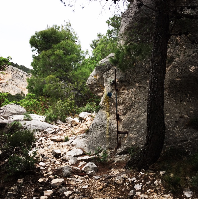
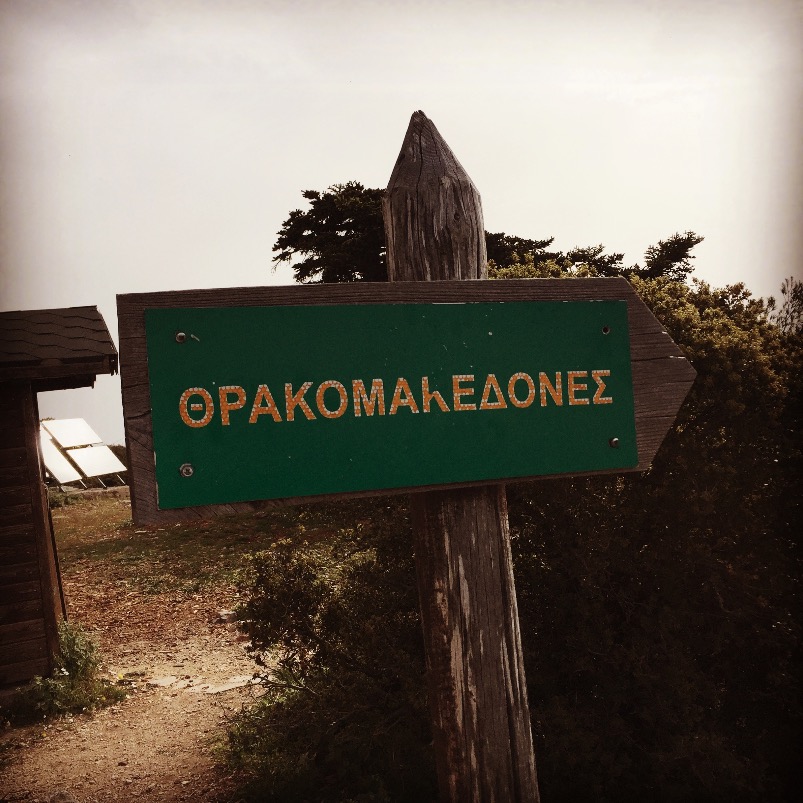
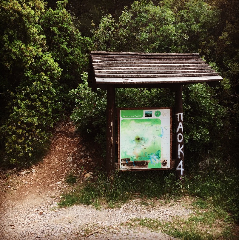
The last picture, shows the starting or ending point from the normal trail that leads to Flabouri Shelter. If instead your wish is to get to Flabouri Shelter via the so called “Flabouri Ridge” then you should start your adventure on another point.
This point is situated in Thrakomakedones area and specifically in Imathias Street (nearby Imathias street and Florinis street joint point).
Here is the exact position with the following co-ordinates: N38° 08.809′ E23° 44.896′ (If you wish, I could also send you a GPX track)
With regards maps with Hiking routes around I Athens, I can suggest you the following ones:
– http://www.anavasi.gr/product.php?id=90&lang=en
– http://www.terrainmaps.gr/#products
If you have any GPS decice or if you have a smartphone with an App you can find many routes that you can download here: https://www.wikiloc.com/wikiloc/find.do?q=parnitha
Finally, if you have any further questions, please, feel free to let me know.
LikeLike
Thank you for the quick response! We will try and find the start of the blue one next time we are out. Could you send the GPX track? my email is stef.kors@gmail.com
A second question we had was about the signage, while following the yellow route we found some red and green marks. Are there 3 routes alongside each other? is there a place where this signage is explained?
LikeLike
Hi Stef,
my pleasure if I can help. No worries.
I will email you the GPX track on the aforementioned email.
Answering to your second question, indeed, those are other routes and most often the “red” signs indicate a more difficult route. That’s not always, but in most cases.
At the beginning of each trail in Parnitha, there is usually a board (similar to the one on the last photo in this post) that illustrates the more frequented routes. These boards show the majority of the routes but not all the routes because some trails are a bit more difficult and not really safe for the public. Having said that, the best way to see/review most of the routes are via the maps I have suggested you or even via wikiloc.
I hope I was able to answer to your question.
LikeLike
Pingback: Via Ferrata in Arma Parnitha Mountain – Olympus Mountaineering
Pingback: Winter Hike on Mount Parnitha – Olympus Mountaineering
Pingback: Climbing in Korakofolia, Parnitha – Athens, Greece – Olympus Mountaineering
Pingback: Climbing the North-East Rigde of Mount Hymettus (Prosilio Ridge) – Olympus Mountaineering
Pingback: Trad Climbing in Varasova – Olympus Mountaineering
Pingback: Dry Tooling in Athens – Rizos’ Cave – Olympus Mountaineering