Hiking in the Black Cave Gorge of Evrytania

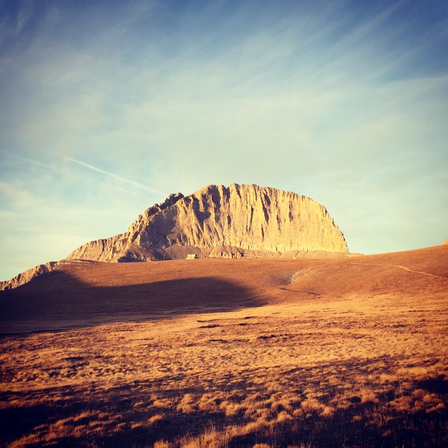
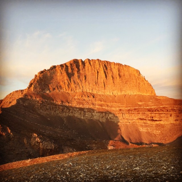
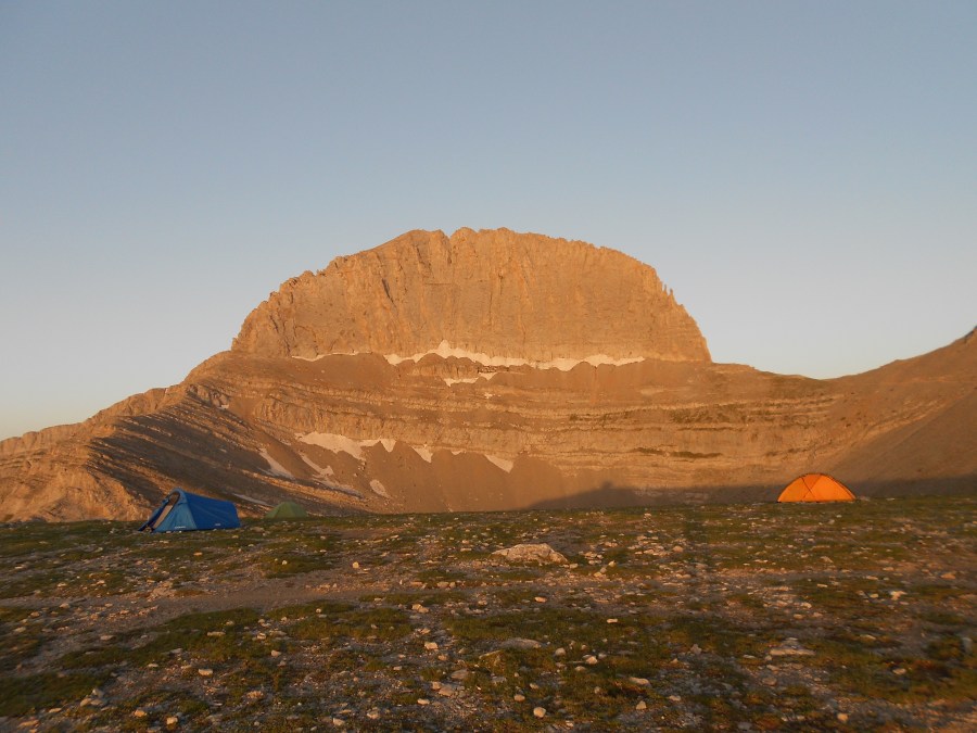
Evrytania is almost entirely formed of mountains, including the Tymfristos and the Panaitoliko in the south. Its rivers include the Acheloos in the west, Agrafiotis to the east, and Megdova in the east flowing down to the Ionian Sea. It is one of the least populated regional units in Greece. The area borders Aetolia-Acarnania to the west, southwest and south (west over the Acheloos river), Karditsa regional unit to the north, and Phthiotis to the east. Evrytania also features a famous skiing resort located near Karpenisi on the Tymfristos mountain.

Black_Cave_20Black_Cave_21

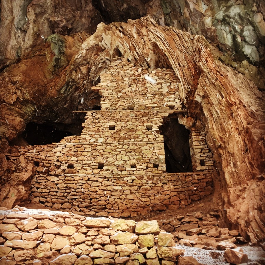
Continue reading “Hiking in the Black Cave Gorge of Evrytania”

Olympus Mountain Autumn Ascent

Time has come for the Autumn ascent. After the initial planning, it was that time of the year to visit again the Mountain of the Greek mountains, Olympus.

Olympus is the highest mountain in Greece and the second highest mountain in the Balkans. It is located in the Olympus Range on the border between Thessaly and Macedonia, between the regional units of Pieria and Larissa, about 80 km (50 mi) southwest from Thessaloniki. Mount Olympus has 52 peaks, deep gorges, and exceptional biodiversity. The highest peak Mytikas, meaning “nose”, rises to 2,918 metres (9,573 ft). It is one of the highest peaks in Europe in terms of topographic prominence.

olympous_2016_52
Throne of Zeus (Stefani)

Olympus was notable in Greek mythology as the home of the Greek gods, on the Mytikas peak. Mount Olympus is also noted for its very rich flora with several species. It has been a National Park, the first in Greece, since 1938. It is also a World’s Biosphere Reserve.

Continue reading “Olympus Mountain Autumn Ascent”

The Ultimate Guide of Hiking and Mountaineering in Greece

You can explore Greece’s variety of landscapes, remote coves and the ruins of ancient cities, walking!

The core of Mainland Greece runs from the European Long Distance Walking Path Ε4 (- GR), beginning from the Pyrinaia it arrives in Greece via Yugoslavia, at the Nikis guard-post in Florina. The E4, crossing the Peloponnese, stops at Gythio and continues on to Crete. The mountain-climber is thus given the opportunity to see the enjoy of the Greek scenery and the wealth of Greek nature.

The highest elevation along the total route is the peak of Olympus Skolio (2,911 m). Highest peak of Greece is Mt.Olympus Mytikas at 2917m. The ideal period for hiking along the Ε4 in Greece is early mid spring. Mid to late spring is probably the best time of year for hiking in those areas, since summer and early fall are normally very hot and dry, and late fall through early spring are cold and rainy. The last years in Greece, hiking and mountaineering activities have become very popular and on the famous routes and during high season, you will certainly meet many more hikers from Greece, and not only.

Continue reading “The Ultimate Guide of Hiking and Mountaineering in Greece”

Hionovouni Mountain (south Parnonas)

From the beautiful seaside village of Kyparissi, it is hard to imagine that hidden amongst the surrounding cliffs lies a large fir forest on a mountainside offering a number of lovely hikes. The entirety of Mt. Hionovouni (south Parnonas) comprises a Natura habitat and was once filled with human activities, as evidenced by the many huts and goatfolds and terraced fields, most of them now abandoned. A series of paths, based on the original network, provide an opportunity to enjoy these traces of human endeavour and to enjoy the wonderful landscape. The main route forms part of national hiking path 33 that crosses Hionovouni from the village of Kremasti to Lambokambo. Most of these routes where discovered and established by famous Greek mountaineer Tasos Mitsios.

After careful planning, we established the round route we wanted to follow and with the help of a map, a GPS unit and the well signed paths we initiated our ascent to Mount Hionovouni.

hionovouni_33hionovouni_map

Continue reading “Hionovouni Mountain (south Parnonas)”

Training in Ermioni’s hills

During the previous days, we have visited Ermioni (Argolis). Ermioni in Greece is a small seaside town on the eastern coasts of Peloponnese, in the region of Argolis. Constructed on the hill slopes around a beautiful port, this town has revived over the last decades as many Athenians have holiday homes there. The traditional architecture and the natural beauty of Ermioni Greece attracts many families looking for peaceful vacations. The small port is connected by ferry to Piraeus and the islands of Hydra and Spetses.

Mount_Didimo_05
Climbing Wall on Mount Didimo

Continue reading “Training in Ermioni’s hills”

Mount Olympus Expedition Preparation – Fall 2016

Mount Olympus formed itself after the gods defeated the titans in the Titan War, and soon the palace was inhabited by the gods. It is the setting of many Greek mythical stories. Olympus was not shaken by winds nor ever wet with rain, nor did snow fall upon it, but the air is outspread clear and cloudless, and over it hovered a radiant whiteness.

Our previous ascent on the top of God’s Mountain took place in 2014 and it’s about time to visit again the highest and one of the most beautiful mountains of Greece. On our previous ascent, we took one of the most common routes -starting point Gortsia- but this time we are planning to ascent the north face of the mountain.

Olympus_Gortsia_02

Continue reading “Mount Olympus Expedition Preparation – Fall 2016”

Summer in Geraneia Mountains

Mount Geraneia is a mountain range in Corinthia and West Attica, Greece. Its highest point is the peak Makryplagi, elevation 1,351 m. It covers the northern part of the isthmus between the Gulf of Corinth and the Saronic Gulf. It spans 5–10 km from north to south and 30 km from east to west.

The geography of Geraneia includes forests in the south, the west and the northern part at an elevation of under 900 to 1,000 m. Barren land is in the central part. The grasslands and some bushes lies to the northwest. Farmlands and some barren land lies to the south.

Geraneia_03
Starting Point from Pisia Village

Continue reading “Summer in Geraneia Mountains”

Artemisio Mountain

Artemisio mountain is on the border between Arcadia and Argolis, in the Municipalities of Argos-Mycenae and Tripolis respectively. It forms part of the mountain range that connects the Argolic Gulf with the Corinthian, and as such, it borders with Lyrkeio mountain on the north and with Ktenia mountain on the south. On its west is the plateau of Mantineia. Its tallest peak is 1,771 metres in height.

According to Pausanias, a sanctuary dedicated to goddess Artemis, patron of hunters and wild nature, used to sit on its peak. The Roman traveller mentions the sacred grove of Itamoi, a European Yew that is very toxic, and according to mythology, the goddess used it to poison her arrows; unfortunately, the grove has not survived. Today, very few fir trees survive. The river Inachos has its spring on the mountain, its mouth in the Argolic gulf, and is one of the few springs that can be used for those who decide to climb the mountain.

Continue reading “Artemisio Mountain”

Lake Doxa & Mount Pentelia (Dourdouvana)

Lake Doxa is an artificial lake in western Corinthia, Greece. It is situated at an elevation of 900 m, in the municipal unit Feneos, near the village ancient Feneos. Construction was completed in the late 1990s. It is fed and drained by the small river Doxa, which empties into the plain of Feneos. In the heart of the lake on a small peninsula features a small church of Agios Fanourios. The Saint George Monastery in Feneos was relocated to higher ground, north of the lake. The lake is surrounded by pine forests.

Early Saturday morning we have reached the Lake Doxa where we wanted to establish our camp. One option was to camp right next to the lake and another option was to set up our camp in the woods. We chose the latest option because we wanted to be more isolated. In summer time, lake dosa attracts many car-camping people from Poland, Romania etc.

Lake_Doxa_05
View from the Lake

Continue reading “Lake Doxa & Mount Pentelia (Dourdouvana)”

Erymanthos Mountain & River

Erymanthos is a mountain range in the southern part of Achaea and the northeastern part of Elis. With an elevation of 2,224 meters, it is the fourth-tallest mountain in the Peloponnese peninsula. The summit is located on the boundary of Achaea and Elis. Historically, Mount Erymanthos was part of northwestern Arcadia, where it was the second-tallest mountain range. The northern portion belonged to the historic Achaea.

We have arrived in the village of Kalenji very late on a Friday night. Our goal was to start on Saturday morning and cross the whole Erymanthos mountain range. Plan was to get up at 5.30 on Saturday morning and from Kalenji (South-West) to move towards the highest peak of Erymanthos, Olonos and to descent North East of the mountain. As first goal, we had the Profitis Ilias (Elias) peak something we have achieved in 4 hours from our starting point. The route was very rough and we had to walk and climb on rocks while we were carrying all our camping gear, food and several liters of water each one of us.

Continue reading “Erymanthos Mountain & River”