Artemisio Mountain

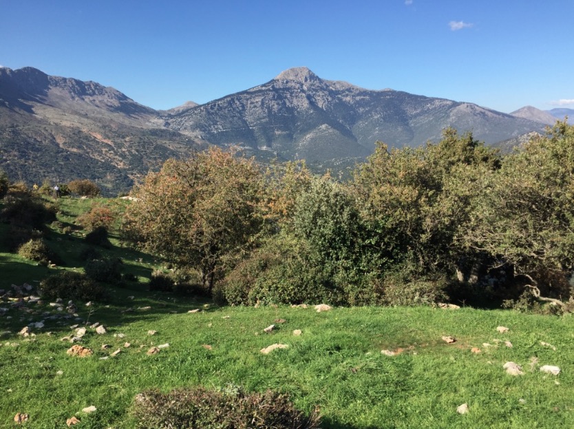
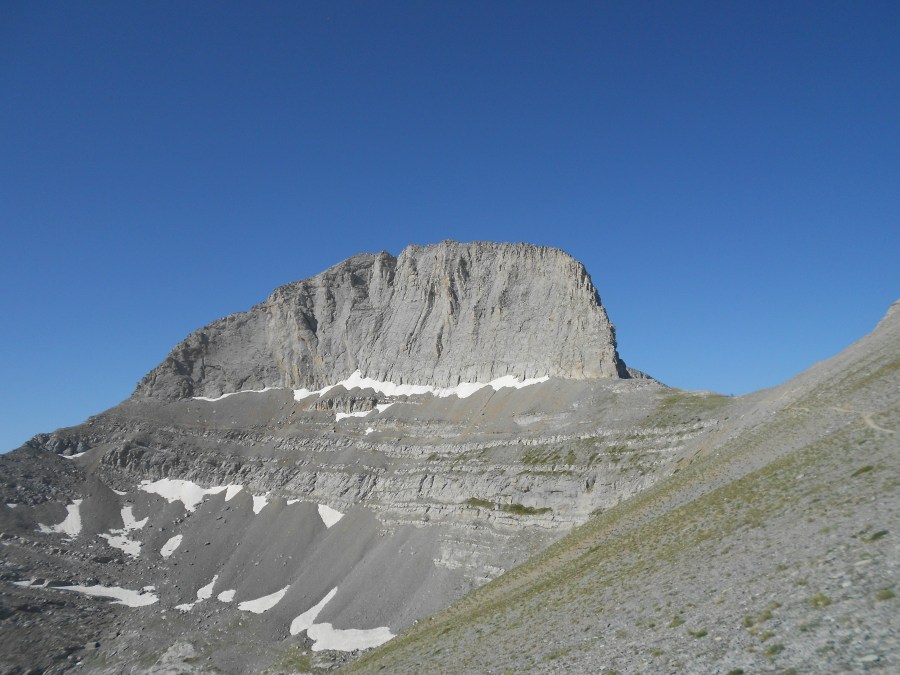
Artemisio mountain is on the border between Arcadia and Argolis, in the Municipalities of Argos-Mycenae and Tripolis respectively. It forms part of the mountain range that connects the Argolic Gulf with the Corinthian, and as such, it borders with Lyrkeio mountain on the north and with Ktenia mountain on the south. On its west is the plateau of Mantineia. Its tallest peak is 1,771 metres in height.

According to Pausanias, a sanctuary dedicated to goddess Artemis, patron of hunters and wild nature, used to sit on its peak. The Roman traveller mentions the sacred grove of Itamoi, a European Yew that is very toxic, and according to mythology, the goddess used it to poison her arrows; unfortunately, the grove has not survived. Today, very few fir trees survive. The river Inachos has its spring on the mountain, its mouth in the Argolic gulf, and is one of the few springs that can be used for those who decide to climb the mountain.

Continue reading “Artemisio Mountain”
Lake Doxa & Mount Pentelia (Dourdouvana)

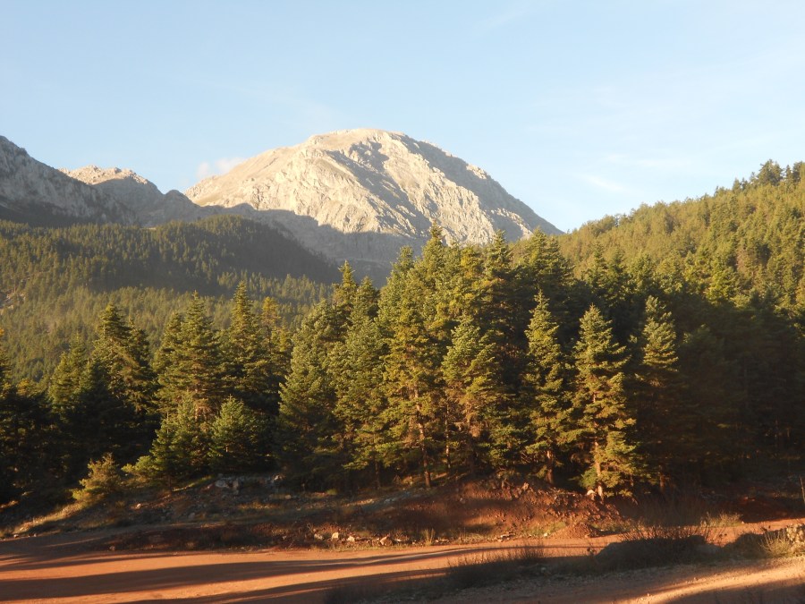
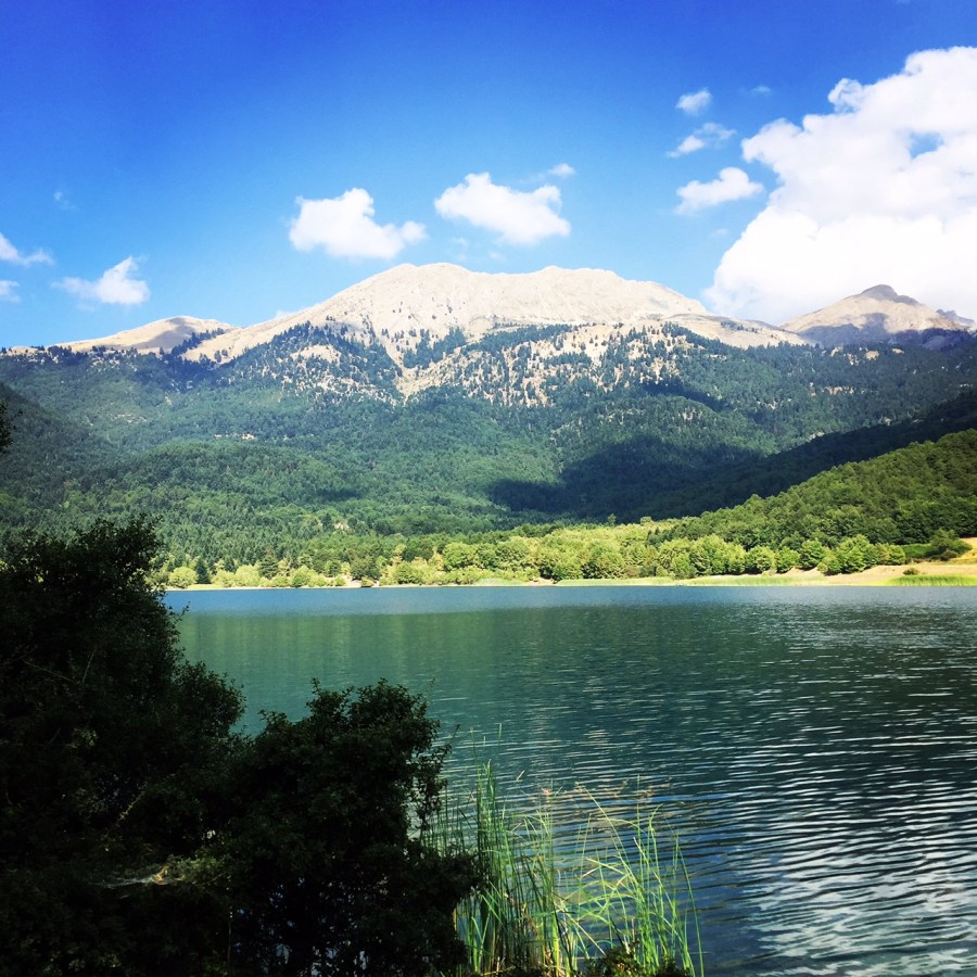
Lake Doxa is an artificial lake in western Corinthia, Greece. It is situated at an elevation of 900 m, in the municipal unit Feneos, near the village ancient Feneos. Construction was completed in the late 1990s. It is fed and drained by the small river Doxa, which empties into the plain of Feneos. In the heart of the lake on a small peninsula features a small church of Agios Fanourios. The Saint George Monastery in Feneos was relocated to higher ground, north of the lake. The lake is surrounded by pine forests.

Early Saturday morning we have reached the Lake Doxa where we wanted to establish our camp. One option was to camp right next to the lake and another option was to set up our camp in the woods. We chose the latest option because we wanted to be more isolated. In summer time, lake dosa attracts many car-camping people from Poland, Romania etc.

Lake_Doxa_05
View from the Lake

Continue reading “Lake Doxa & Mount Pentelia (Dourdouvana)”

Erymanthos Mountain & River

Erymanthos is a mountain range in the southern part of Achaea and the northeastern part of Elis. With an elevation of 2,224 meters, it is the fourth-tallest mountain in the Peloponnese peninsula. The summit is located on the boundary of Achaea and Elis. Historically, Mount Erymanthos was part of northwestern Arcadia, where it was the second-tallest mountain range. The northern portion belonged to the historic Achaea.

We have arrived in the village of Kalenji very late on a Friday night. Our goal was to start on Saturday morning and cross the whole Erymanthos mountain range. Plan was to get up at 5.30 on Saturday morning and from Kalenji (South-West) to move towards the highest peak of Erymanthos, Olonos and to descent North East of the mountain. As first goal, we had the Profitis Ilias (Elias) peak something we have achieved in 4 hours from our starting point. The route was very rough and we had to walk and climb on rocks while we were carrying all our camping gear, food and several liters of water each one of us.

Continue reading “Erymanthos Mountain & River”

Ascent on Mount Kreion (Ktenias)

Kreion/Ktenias mountain, also named Chtenias, is on the border between the regions of Argolida and Arcadia. North of Ktenias is Artemisio, and south is Parnon. Its highest point is at 1,643 metres and second highest is the peak “Prophet Elias” at 1,589. The view from the mountain’s top is amazing, encompassing Parnon and Taygetus on the south, up to the plains of Argolida on the east, and the plateau of Tripolis is visible as well as Mainalo mountain on the west.

The mountain is found in ancient writing as Kreion mountain, possibly named after the Titan Crius (or Kreios, or Krios, the son of Uranus and Gaia) who was particularly worshipped in Peloponnese.

Boom 2016-06-30 at 11.39.00

Continue reading “Ascent on Mount Kreion (Ktenias)”

Summer Ascent on Mount Parnonas

Parnonas is a mountain range, or massif, on the east of the Laconian plain and the Evrotas valley, upon which Grant Parnon resides. It is visible from Athens above the top of the Argive mountains. The western part is in the Laconia prefecture and the northeastern part is in the Arcadia prefecture. The Parnon range separates Laconia from Arcadia. Its summit offers panoramic views of southeastern Arcadia and South Kynouria and much of Laconia that includes the northern and the central portions and reaches as far as the Taygetos mountains. It also views a part of the central Arcadia and the southern Argolis prefectures.

In the summer month of July and specifically the 20th there is a special celebration of Profitis Ilias (Elias) and in many Greek peaks there is a small chapel of Saint Ilias (Elias). On that specific day, we have decided to visit Parnonas mountain and try to reach the top. Initially we have moved on the highway that connects most part of Peloponnese peninsula with direction to the village of Aghios Petros. There, we had a short stop for a morning tea and later on we continued towards the beginning of the path that leads to the Profitis Ilias plateau.

Continue reading “Summer Ascent on Mount Parnonas”

Climbimg in Ortholithi Mountain

It was a nice spring sunny day and we have gathered a small group of four (4) friends in order to try to climb on the top of Ortholithi Mountain.

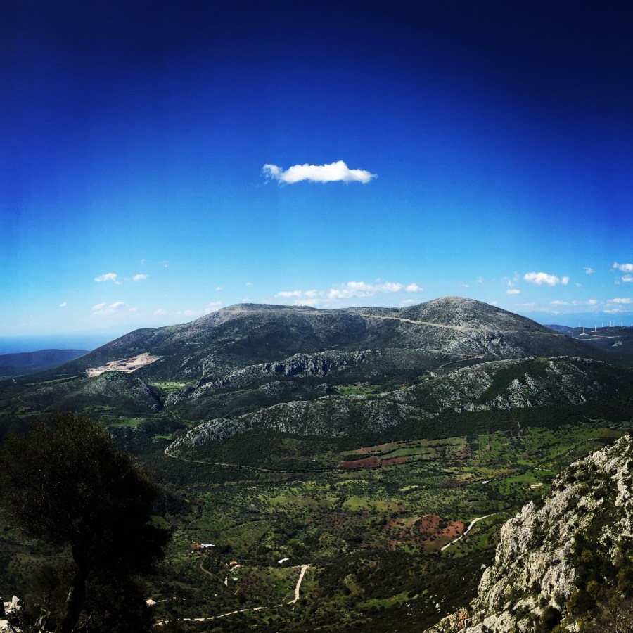
Ortholithi Mountain is situated in the prefecture of Greece, Argolis. One part of the mountain is in Argolis and the North face is in Troizinia. The highest Peak of Ortholithi is 1.105 meters above sea level. From the top of the mountain the view of the sea side is breathtaking and you can easily see the capital of Greece, Athens.

IMG_5055

Continue reading “Climbimg in Ortholithi Mountain”

Ascent on Aselinon Mountain (Giona)

Mount Giona is a mountain in Phocis, Central Greece. It is located between the mountains of Parnassus to the east, Vardousia to the west, and Oeta to the north. Known in classical antiquity as the Aselinon Oros (‘moonless mountain’), it is the highest mountain south of Olympus and the fifth overall in Greece.

In the fall of 2014, we wanted to try to climb Mount Giona in central Greece. We have gathered a small group of three (3) and we started the long journey on the highway towards the base of the mountain. On our way to Giona, we have paseed Mount Parnassos and Mount Oeta (Iti, Oiti). We had to drive through provincial roads, through beautiful forests and the whole driving towards Aselinon mountain was great.

The first 2 hours we walked though gravel roads and hiking trails, though the woods and on beautiful valleys. Suddenly, we looked up in the sky and we have seen Pyramida, the highest peak of Aselinon mountain at 2,510 metres. The fact that we could now see our destination gave us strength and extra motivation.

Continue reading “Ascent on Aselinon Mountain (Giona)”

Olympus Mountain Summer Ascent

On the list of iconic mountains of the world, Mount Olympus surely has a place.  Not only is it a geographically impressive peak, rising straight from the Aegean Sea to a height of 2,917 m, but it’s also one of great mythological importance.  Eleven of the twelve major Greek gods resided in the gorges of the mountain, while Zeus himself claimed Stefani peak for his throne.  The gods would come together on the highest summit, Mytikas, to determine the fate of the mortals they ruled.

The first known ascent of Olympus was in 1913.  Today, an estimated 10,000 people climb the peak annually, though far fewer attain the ultimate summit of Mytikas. Despite the popularity of the mountain, I had a hard time finding information about climbing Olympus.  The best info is at the website for one of the refuges, but it only covers the trail that passes by that refuge.

Continue reading “Olympus Mountain Summer Ascent”

Winter Ascent on Aroania Mountains

Aroania, also known as Helmos or Chelmos, is a mountain range in Achaea, Peloponnese, Greece. At 2,355 m elevation, Aroania is the third highest mountain of the Peloponnese, after Taygetus and Kyllini, and the highest in Achaea. The largest town near the mountain is Kalavryta. The municipal unit Aroania took its name from the mountain.

Aroania is situated in southeastern Achaea, near the border with Corinthia. The slightly higher Kyllini mountain is about 15 km to its east, separated from Aroania by the valley of the river Olvios. The mountain Erymanthos is about 30 km to the west, across the valley of the river Vouraikos. The rivers Krios, Krathis and Vouraikos drain the mountain towards the Gulf of Corinth in the north. The river Aroanios drains the mountain towards the southwest, to the Ionian Sea.

The first day we wanted to reach the waterfalls of Styga where the myth says “The plunging of Achilles in the Styga waters, leaving his heel vulnerable, as it was the spot from which Thetis was holding him, is an episode from the hero’s life that although it was commonly known, is solely mentioned by Statius, a Latin writer of the 1st century A.D; it is possible that the writer used this particular incident to justify the hero’s death from the arrow of the Troyan prince Paris.”


Continue reading “Winter Ascent on Aroania Mountains”

Geraneia Mountains & Sanctuary of Hera

Mount Geraneia is a mountain range in Corinthia and West Attica, Greece. Its highest point is the peak Makryplagi, elevation 1,351 m. It covers the northern part of the isthmus between the Gulf of Corinth and the Saronic Gulf. It spans 5–10 km from north to south and 30 km from east to west.

The geography of Geraneia includes forests in the south, the west and the northern part at an elevation of under 900 to 1,000 m. Barren land is in the central part. The grasslands and some bushes lies to the northwest. Farmlands and some barren land lies to the south.

Continue reading “Geraneia Mountains & Sanctuary of Hera”