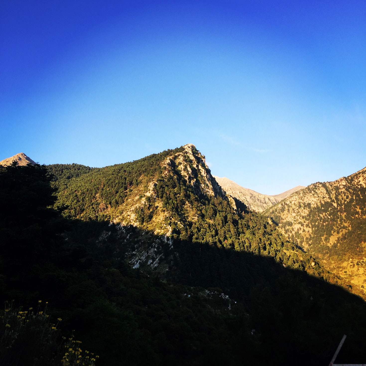
This is the second (of the four) part of the Mount Tymfi (Pindos) Thru-Hike. In case you haven’t checked the first part, feel free to check it out here:
Mount Tymfi (Pindos) Thru-Hike Part 1 – Kapesovo – Mezaria Gorge – Vikos Canyon – Mikro Papingo
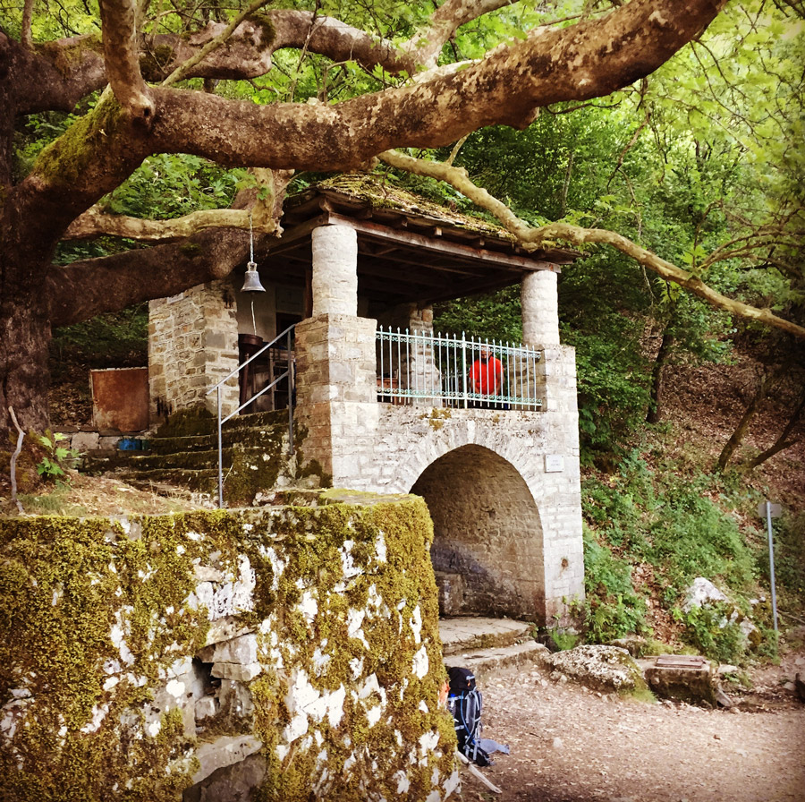
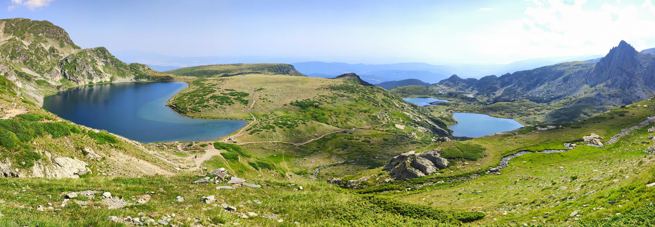
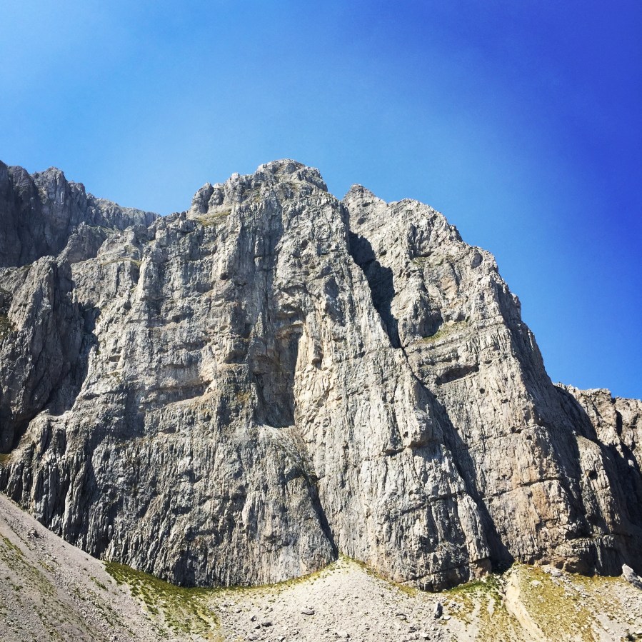
This is the second (of the four) part of the Mount Tymfi (Pindos) Thru-Hike. In case you haven’t checked the first part, feel free to check it out here:
Mount Tymfi (Pindos) Thru-Hike Part 1 – Kapesovo – Mezaria Gorge – Vikos Canyon – Mikro Papingo
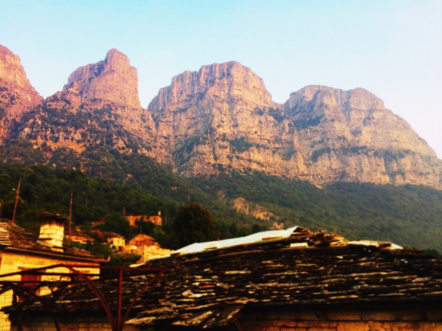
Tymfi is a mountain in the northern Pindus mountain range, northwestern Greece. It is part of the regional unit of Ioannina and lies in the region of Zagori, just a few metres south of the 40° parallel. Tymfi forms a massif with its highest peak, Gamila, at 2,497 m (8,192 ft), being the sixth highest in Greece.
As mentioned on a previous post, we have decided to do a complete thru-hike of Mount Tymfi. This is the 1st of a total 4 parts in which we will try to show you our thru-hike in this wonderful mountain that combines beautiful villages, green forests, deep canyons, rivers, high-peaks and even alpine lakes.
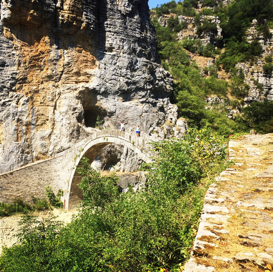

Tymfi is a mountain in the northern Pindus mountain range, northwestern Greece. It is part of the regional unit of Ioannina and lies in the region of Zagori, just a few metres south of the 40° parallel. Tymfi forms a massif with its highest peak, Gamila, at 2,497 m (8,192 ft), being the sixth highest in Greece.
The massif of Tymfi includes in its southern part the Vikos Gorge, while they both form part of the Vikos–Aoös National Park which accepts over 100,000 visitors per year. The former municipality of the same name owed its name to the mountain. It also gave its name to the ancient land known as Tymphaea and to the Tymphaeans, one of the tribes in Ancient Epirus.
Continue reading “Mount Tymfi Expedition Preparation – Summer 2017”

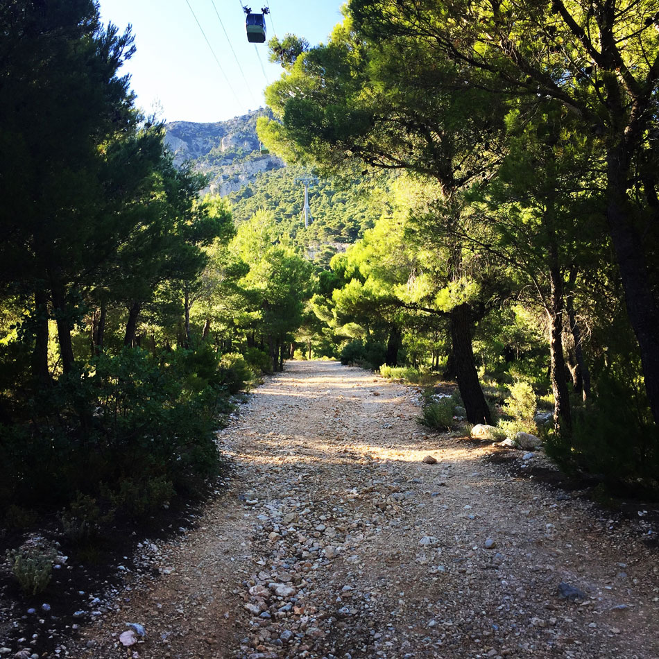
While being in the capital of Greece, Athens, for business purposes, I did not want to put on hold my training sessions. Although Athens is a quite large city, not far away from the city centre, there is Mt. Parnitha.
Mt. Parnitha is located in Attiki province,25km N from the city of Athens.It is one of the 4 mountains(the others are Immitos, Penteli and Aigaleo) that surround the circular plain,in which the city of Athens is built. Mt Parnitha is the talllest and more impressive among the mountains that surround Athens.
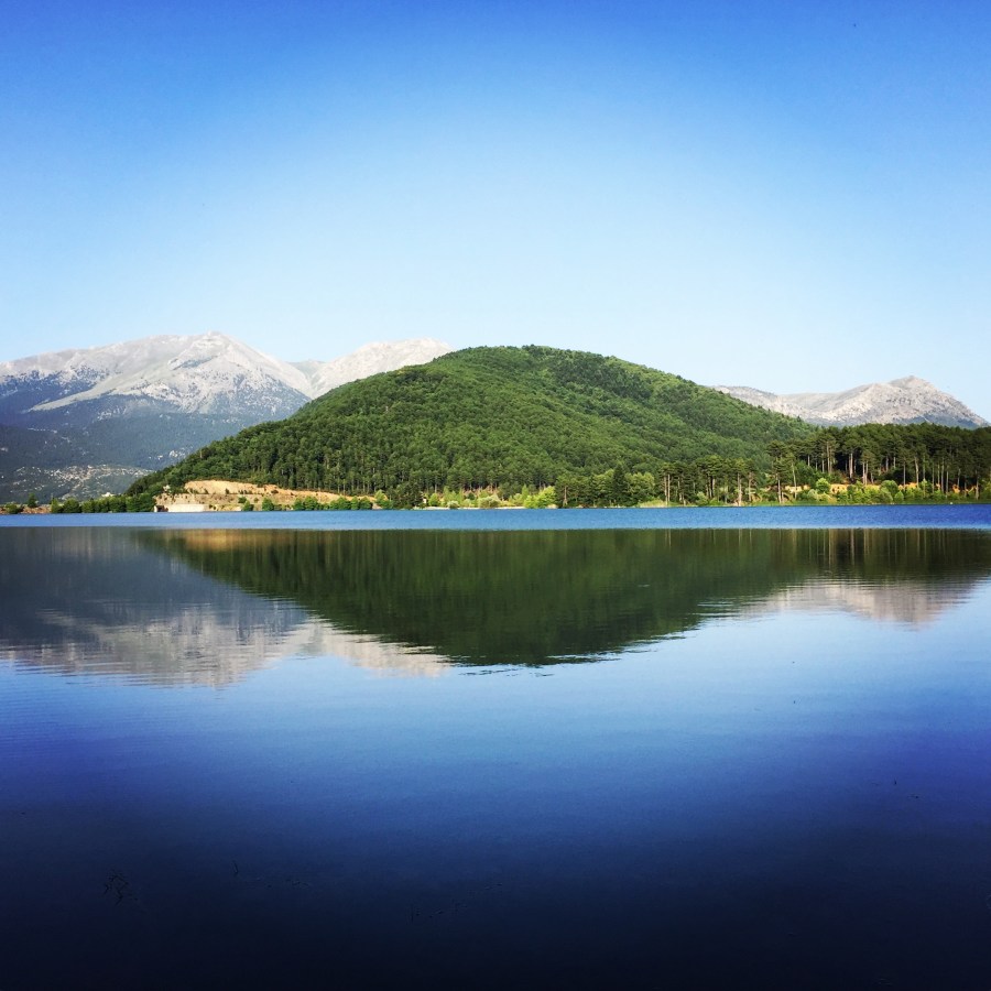
Lake Doxa is an artificial lake in western Corinthia, Greece. It is situated at an elevation of 900 m, in the municipal unit Feneos, near the village ancient Feneos. Construction was completed in the late 1990s. It is fed and drained by the small river Doxa, which empties into the plain of Feneos. In the heart of the lake on a small peninsula features a small church of Agios Fanourios. The Saint George Monastery in Feneos was relocated to higher ground, north of the lake. The lake is surrounded by pine forests.
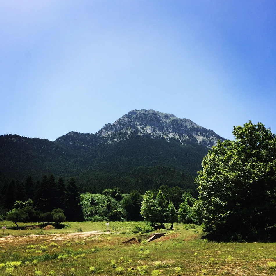

Summer time here in Greece and once again weather is great but quite warm. That was the perfect excuse in order to escape to the mountains of Greece. Our destination was Mount Pentelia (Dourdouvana). Mount Pentelia lies at the end of Aroania mountains (Chelmos) in mountainous Corinthia, Peloponnese. Dourdouvana (another name for Mounta Pentelia) is a slavic name which means rose (or Triantafyllia in Greek), while its ancient Greek name is Pentelia. It is situated NE of Chelmos and it has two almost equally high peaks: Triantafyllia (2,109 m-6,919 ft) and Dourdouvana (2,078 m-6,817 ft).
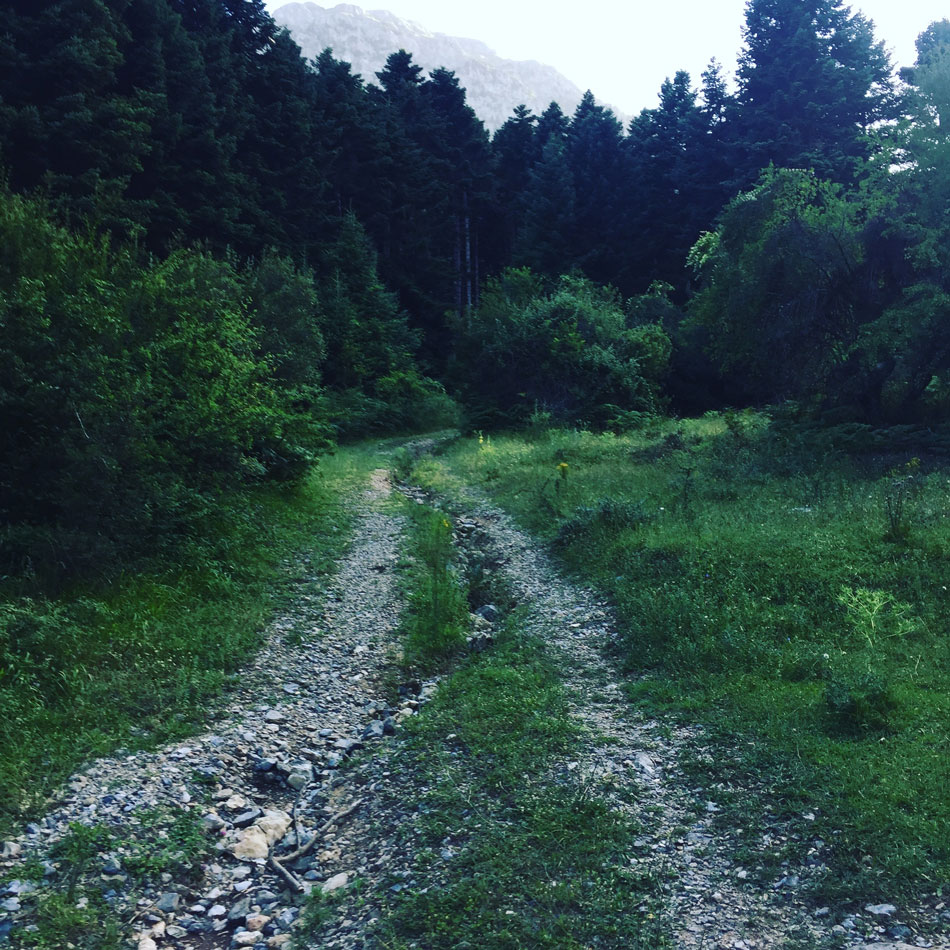
Continue reading “Midnight ascent on Mount Pentelia (Dourdouvana)”
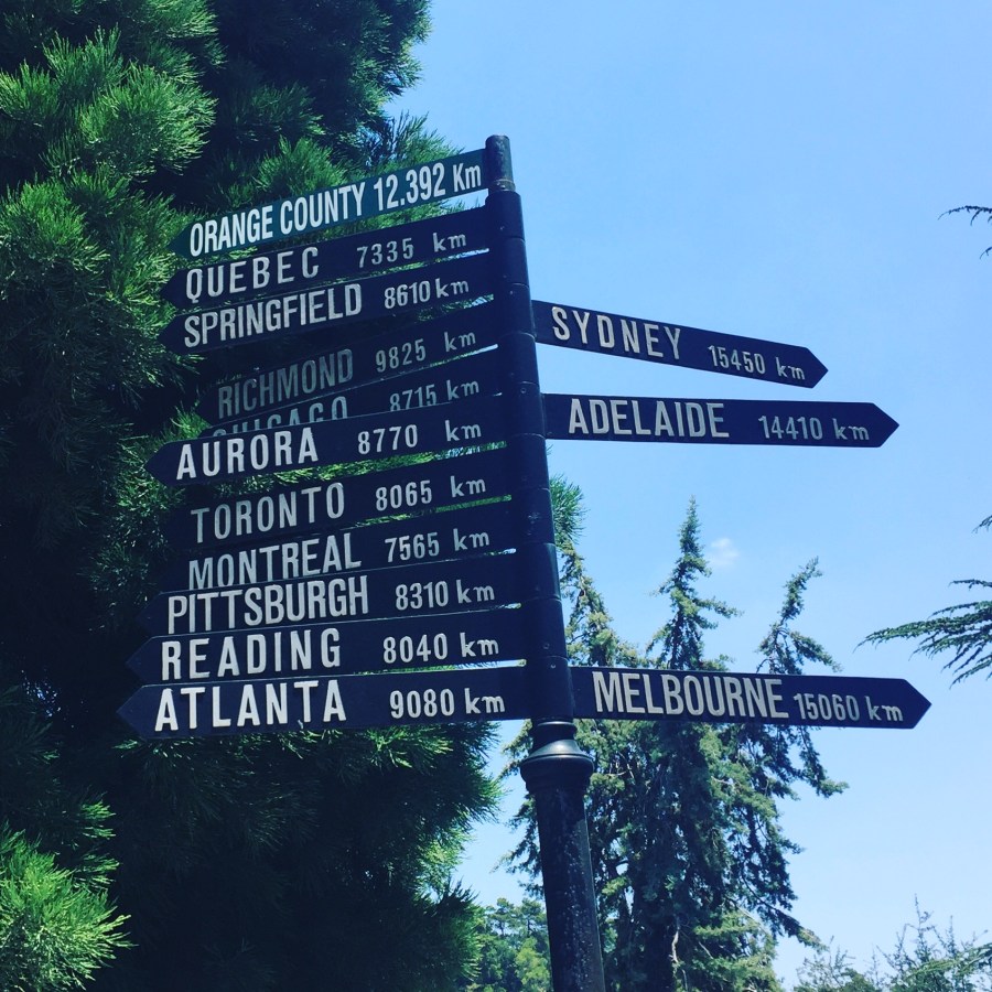
It’s summer time and here in Greece weather can be quite warm. Actually hot! Very hot!. The weather forecast was for 39 C degrees. Therefore we took the decision of visiting the Skiritida forest, instead of hitting a hot (from temperature) beautiful Greek beach.
Skiritida is an ancient place. It is located in southern Arcadia. It has Mainalo to the north, to the east is Parnonas and to the south lies the passage between Parnonas and Taygetos. Picturesque villages nestle on the slopes, Vlachokerasia, Kerasia, Kaltezes, Kollines.
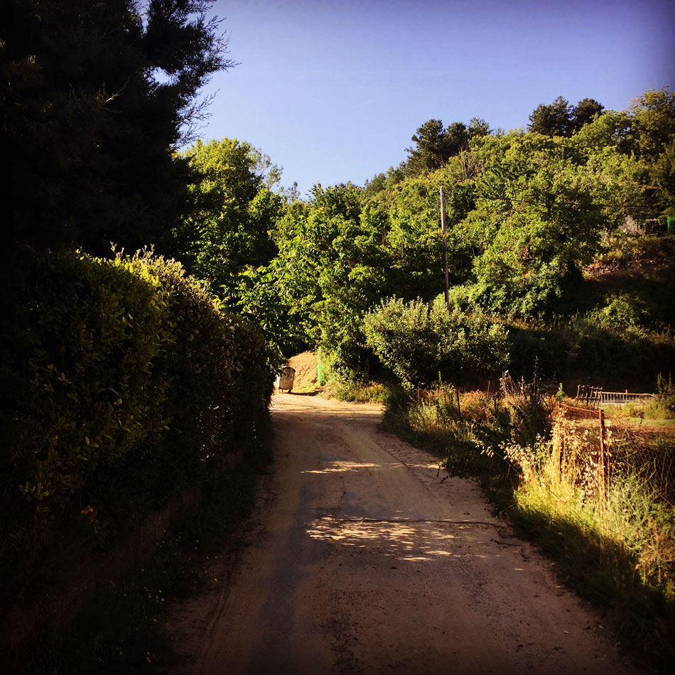

Following up our trip to Agrafa and our ascent to the Five Towers peaks we decided to have a through-hike to the Voutsikaki mountain which is above the lake Plastira. Voutsikaki mountain is one of the highest peaks of the Agrafa region, in fact is 2.154 meters high.

Continue reading “Through-Hike in Voutsikaki – Agrafa Mountains”
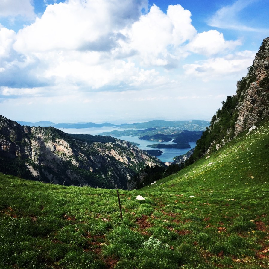
Agrafa is a mountainous region in Evrytania and Karditsa regional units in mainland Greece, consisting mainly of small villages. It is the southernmost part of the Pindus range. The Agrafa region is famous for its complete autonomy throughout the entire 400 years of Ottoman Turkish occupation of Greece. The word agrafa literally translates to unwritten which means unregistered or uncharted; because the Ottomans were unable to conquer this region, the area and its population were not recorded in the Sultan’s tax register. As a result the people were usually free to conduct their business and customs as they pleased without Ottoman influence.
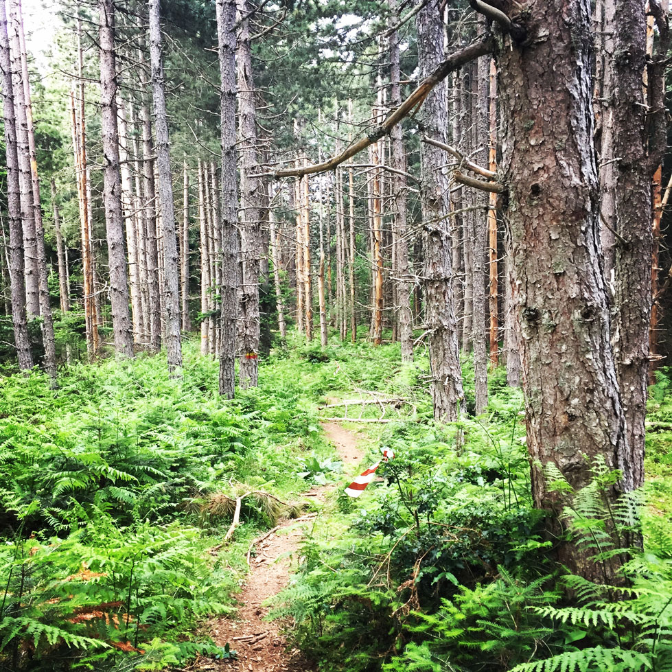
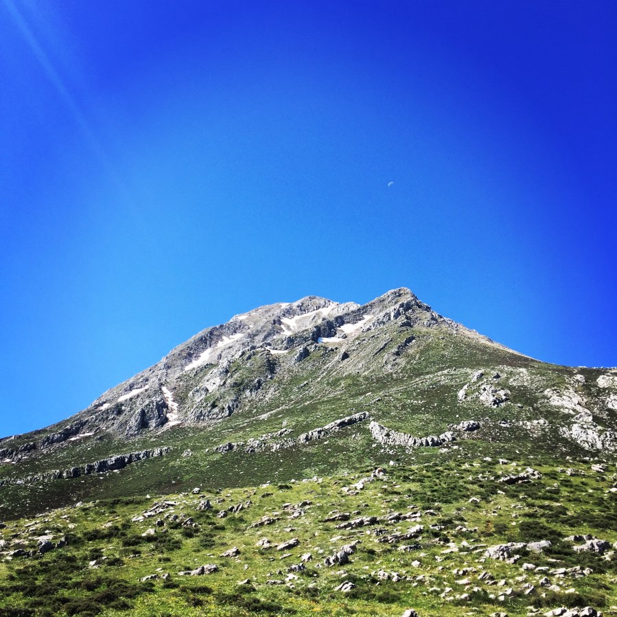
Erymanthos is a mountain range in the southern part of Achaea and the northeastern part of Elis. With an elevation of 2,224 meters, it is the fourth-tallest mountain in the Peloponnese peninsula. The summit is located on the boundary of Achaea and Elis. Historically, Mount Erymanthos was part of northwestern Arcadia, where it was the second-tallest mountain range. The northern portion belonged to the historic Achaea.