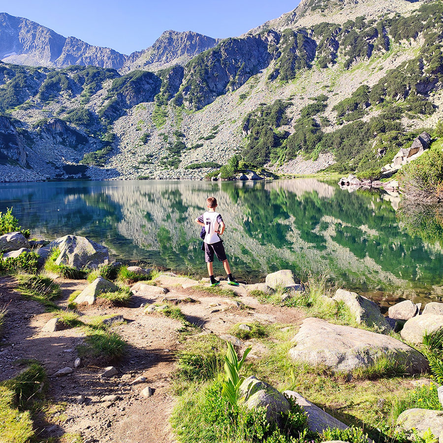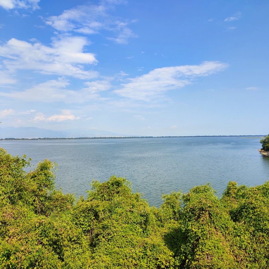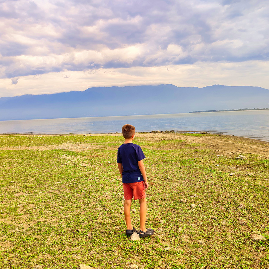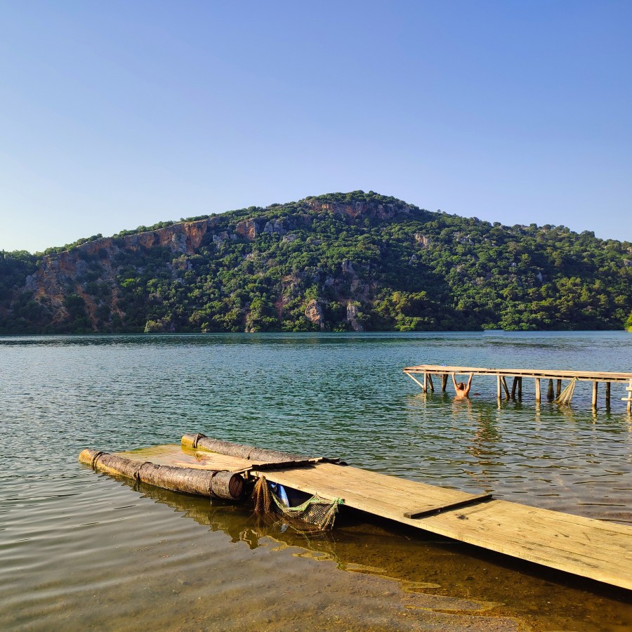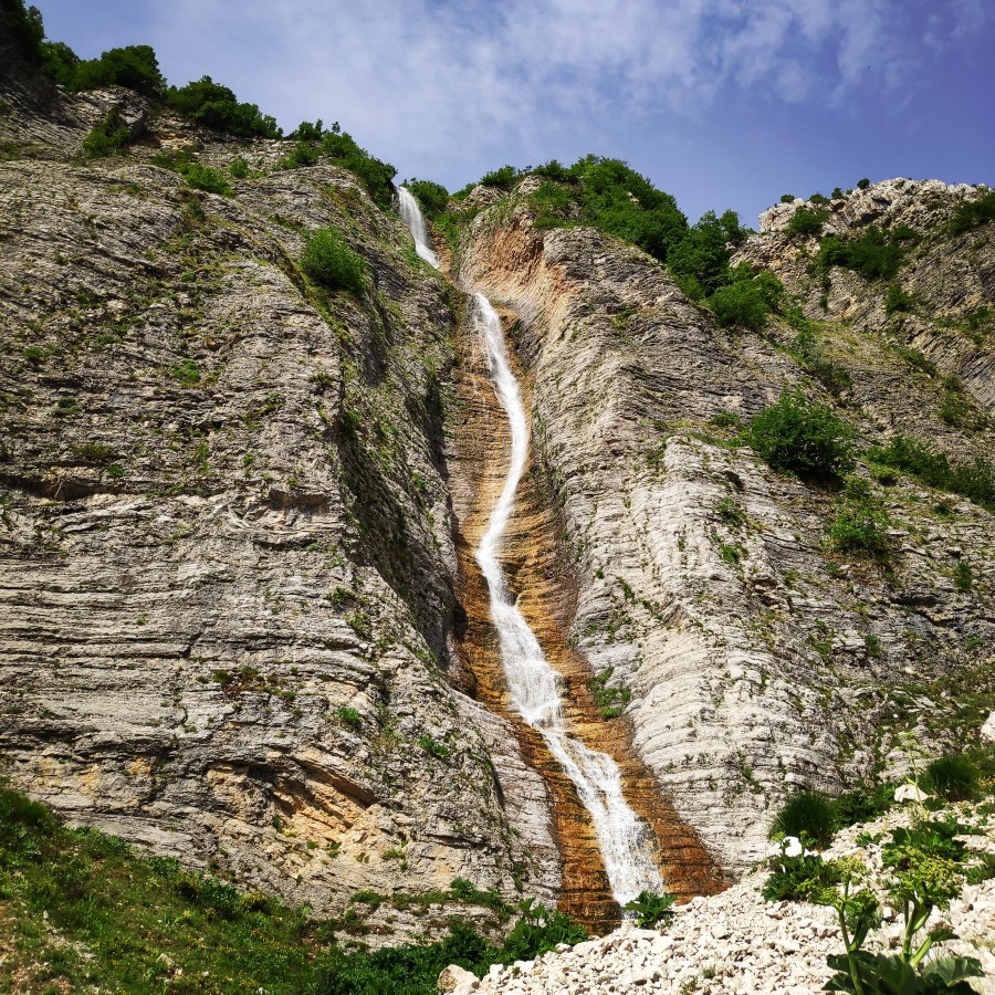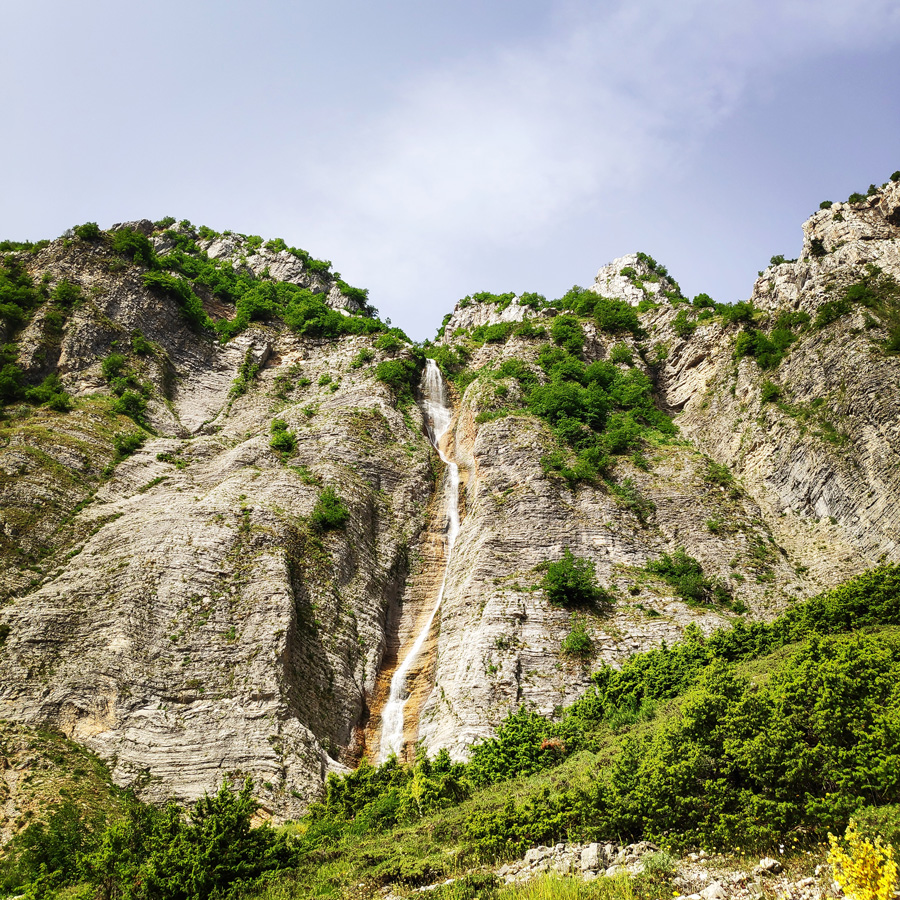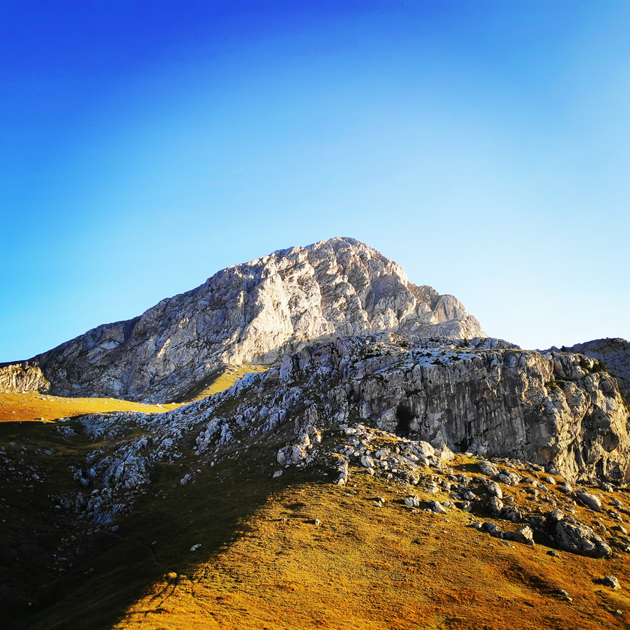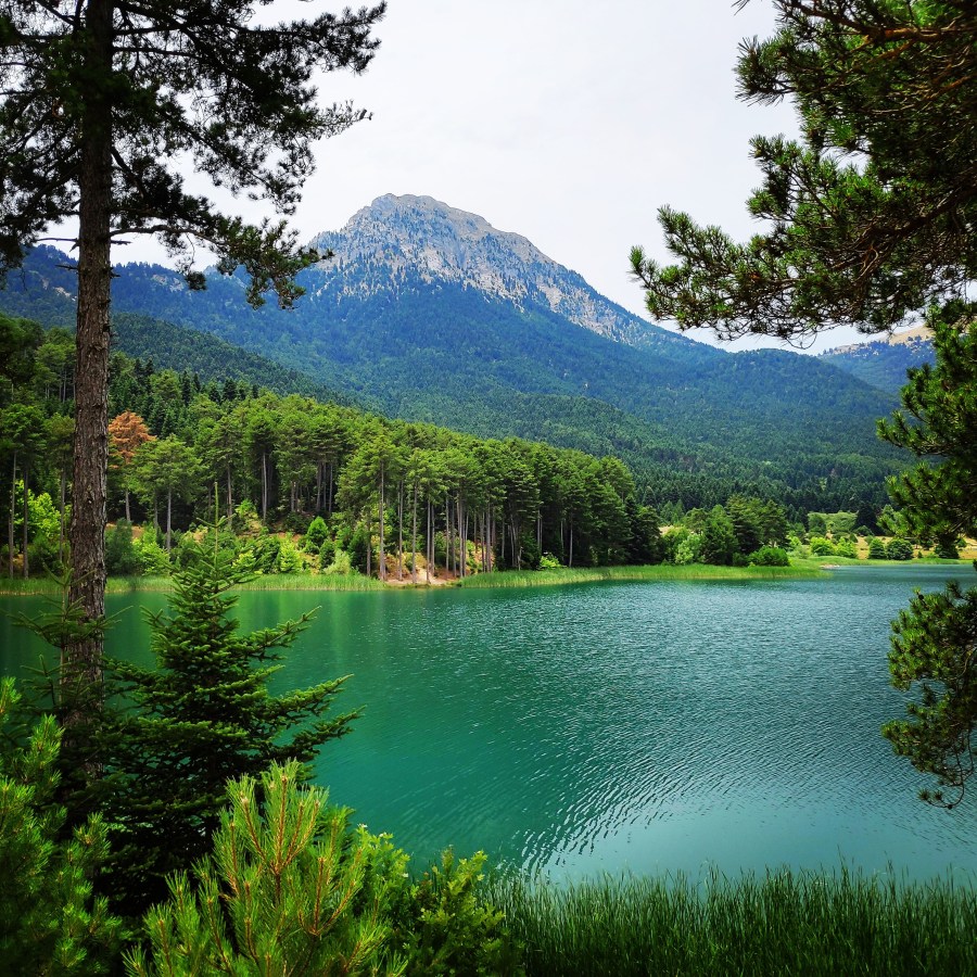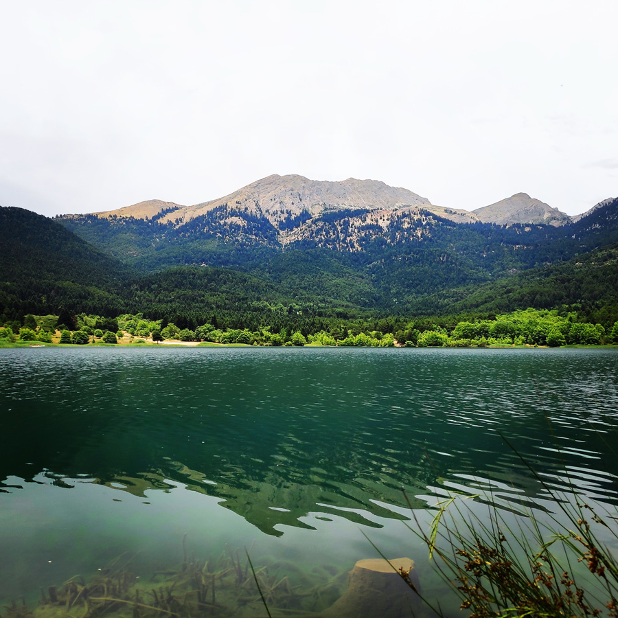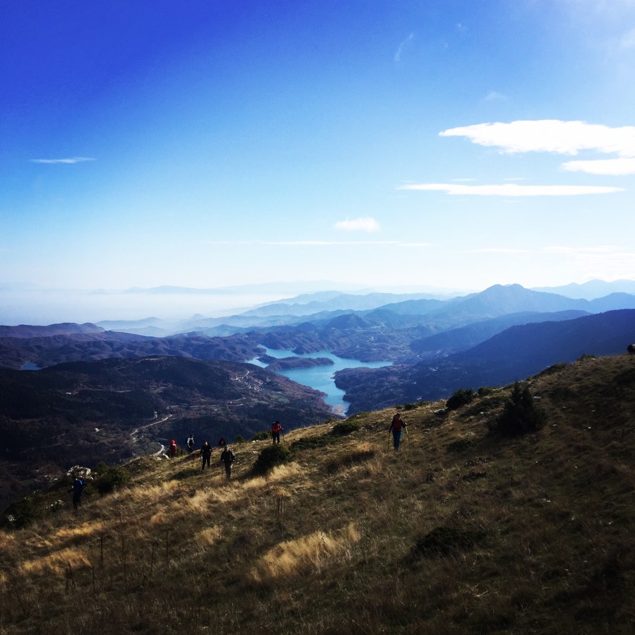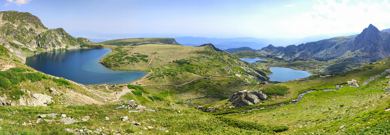
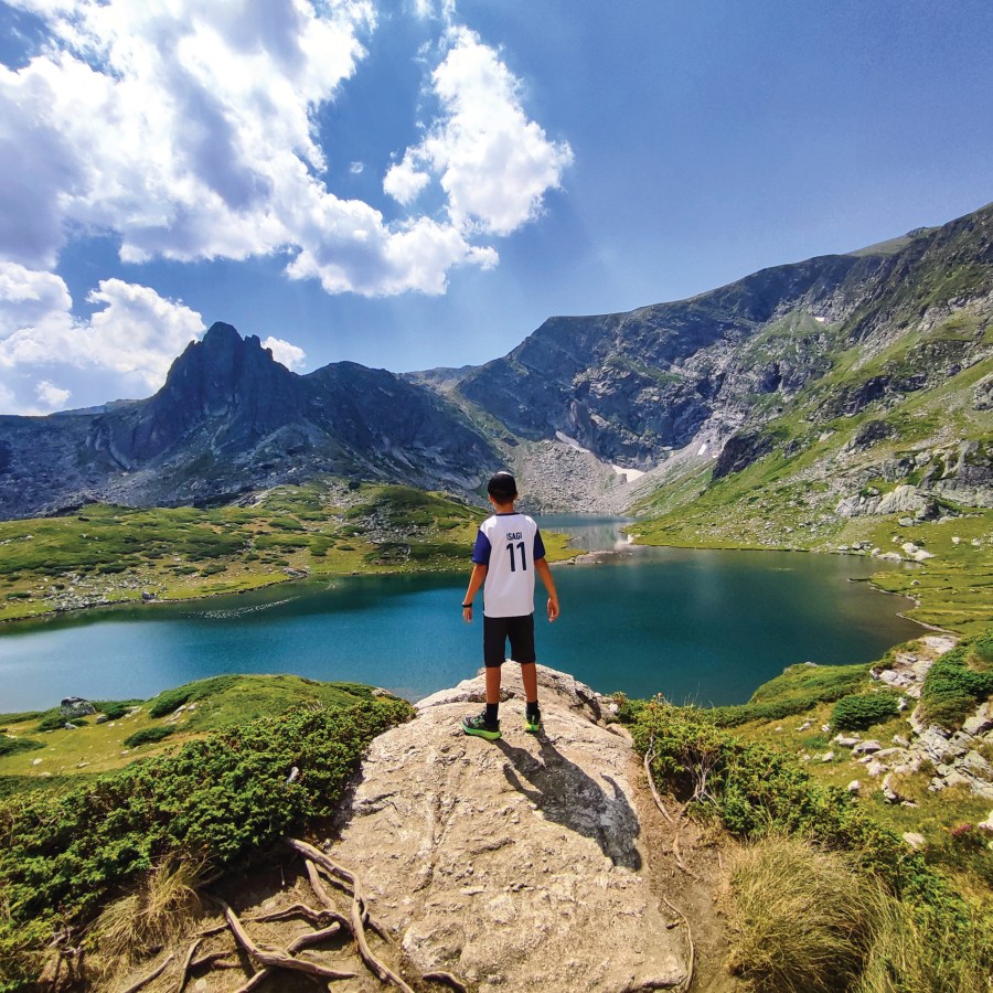
This summer, we dared to venture beyond Greece’s majestic peaks and into the heart of Bulgaria—a country where nature reveals itself in countless layers. From dense forests alive with birdsong to tumbling waterfalls hidden in deep ravines, from serene alpine lakes reflecting jagged peaks to meadows perfect for wild camping under a canopy of stars, Bulgaria offered us a new chapter in our hiking journey.
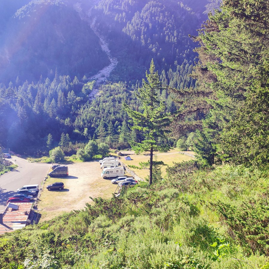
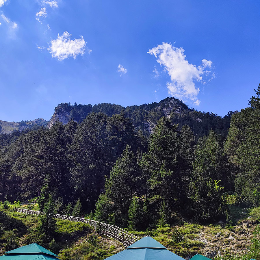
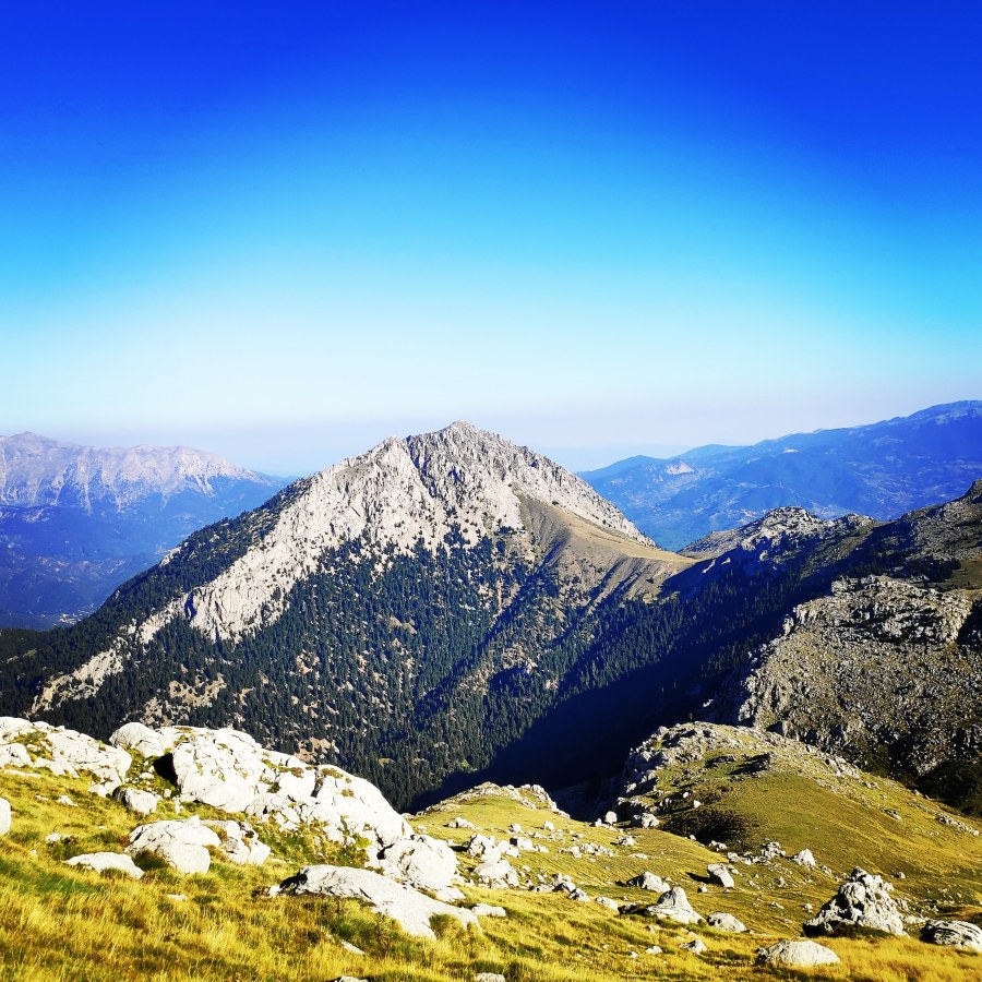
Our expedition unfolded gradually, like turning the pages of a mountain storybook: beginning with the refreshing cascades of Belasitsa and its family-friendly trails, pausing for rustic comfort and nights under canvas at Belasitsa Hut, then climbing higher into the granite realm of Pirin with its glacial lakes and ancient pines, before finally descending into the gentle embrace of Rila, home to iconic alpine lakes and tranquil woodland eco-trails. Each step revealed not only new landscapes, but also the unique character and rhythm of Bulgaria’s great mountain ranges.
▶ Listen to this Post Now