Spring Ascent on small Mount Kyllini (Ziria)

End of April in Greece, usually is not just spring weather, but we are entering the “summer” temperatures. Though, this year, on the 22nd of April we had one more and perhaps the last snowfall for this season. Due to the weather conditions, we took the chance to hit the road and travel towards Mount Kyllini.

Mikri_Ziria_02
Small Mount Kyllini within the clouds

Continue reading “Spring Ascent on small Mount Kyllini (Ziria)”

Spring Training Ascent on Geraneia Mountains

Mount Geraneia is a mountain range in Corinthia and West Attica, Greece. Its highest point is the peak Makryplagi, elevation 1,351 m. It covers the northern part of the isthmus between the Gulf of Corinth and the Saronic Gulf. It spans 5–10 km from north to south and 30 km from east to west.

The geography of Geraneia includes forests in the south, the west and the northern part at an elevation of under 900 to 1,000 m. Barren land is in the central part. The grasslands and some bushes lies to the northwest. Farmlands and some barren land lies to the south.

Gerania_Spring_Ascent_03

Continue reading “Spring Training Ascent on Geraneia Mountains”

Hiking in the Black Cave Gorge of Evrytania

Evrytania is almost entirely formed of mountains, including the Tymfristos and the Panaitoliko in the south. Its rivers include the Acheloos in the west, Agrafiotis to the east, and Megdova in the east flowing down to the Ionian Sea. It is one of the least populated regional units in Greece. The area borders Aetolia-Acarnania to the west, southwest and south (west over the Acheloos river), Karditsa regional unit to the north, and Phthiotis to the east. Evrytania also features a famous skiing resort located near Karpenisi on the Tymfristos mountain.

Black_Cave_20Black_Cave_21

Continue reading “Hiking in the Black Cave Gorge of Evrytania”

Taygetus Mountain Winter Ascent

Taygetus, is a mountain range in the Peloponnese peninsula in Southern Greece. The highest mountain of the range is Mount Taygetus, also known as the “Profitis Ilias”, or “Prophet Elias”. The name is one of the oldest recorded in Europe, appearing in the Odyssey. In classical mythology, it was associated with the nymph Taygete. During Byzantine times and up until the 19th century, the mountain was also known as Pentadaktylos.

The Taygetus Massif is about 100 km (62 mi) long, extending from the center of the Peloponnese to Cape Matapan, its southernmost extremity. It contains the tallest mountain in the Peloponnese, the Profitis Ilias summit, reaching 2,407 m (7,887 ft); this is probably the classical Mount Taléton mentioned by Pausanias.The summit is an ultra prominent peak.

taygetos_mountain_2017_01

Continue reading “Taygetus Mountain Winter Ascent”

Winter Ascent on Mount Oligyrtos

Oligyrtos is a mountain located at the junction of Arcadia, Corinthia and Argolis in the northeastern Peloponnese in Greece. The mountain diagonally stretches from southwest to northeast, with about 35 km length and 15 to 20 km breadth. Its highest point is the peak Skipiza, at 1,935 m elevation. Other peaks are Gkrimini (1,831 m), Parnias (1,800 m), Skiathis (1,777 m) and Mavrovouni (1,695 m).

oligyrtos_mountain_01
Beginning of the route from Lafka Village

Continue reading “Winter Ascent on Mount Oligyrtos”

Winter Ascent on Artemisio Mountain

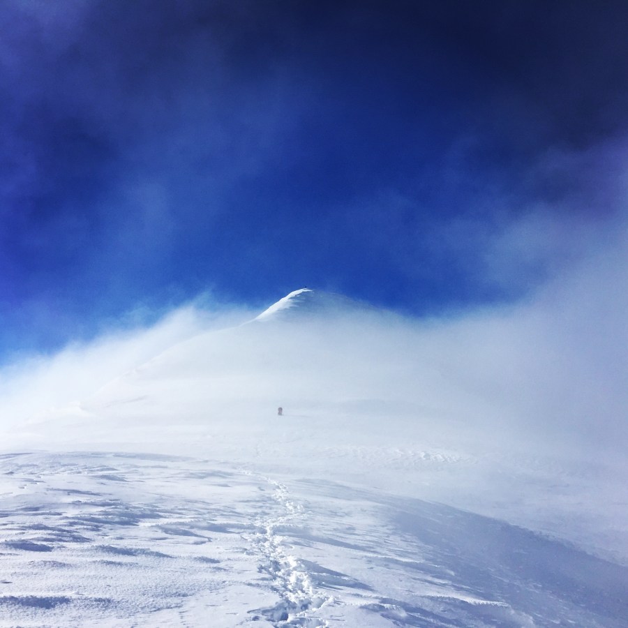
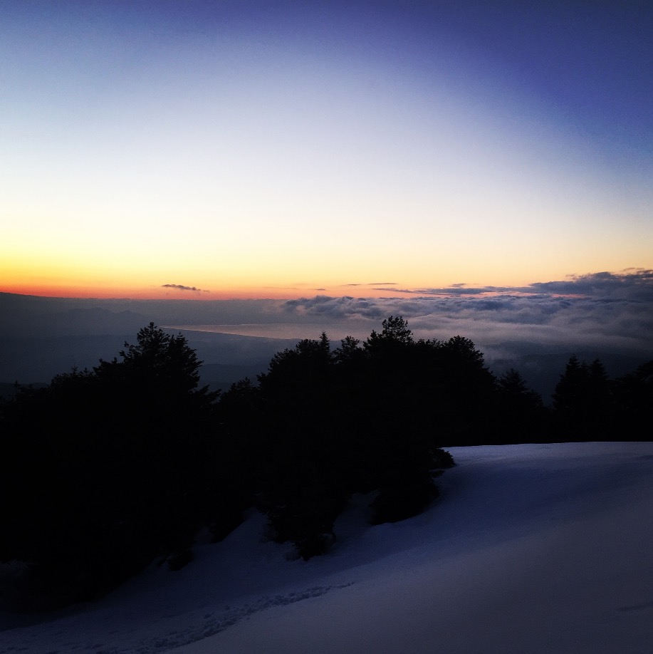
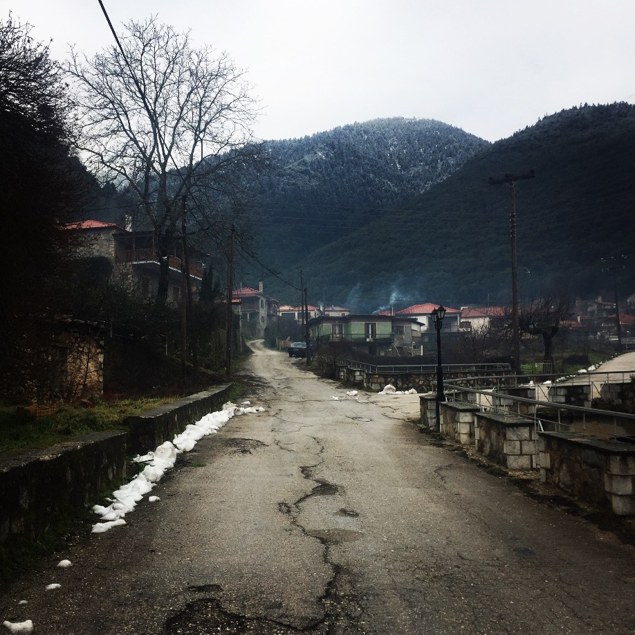
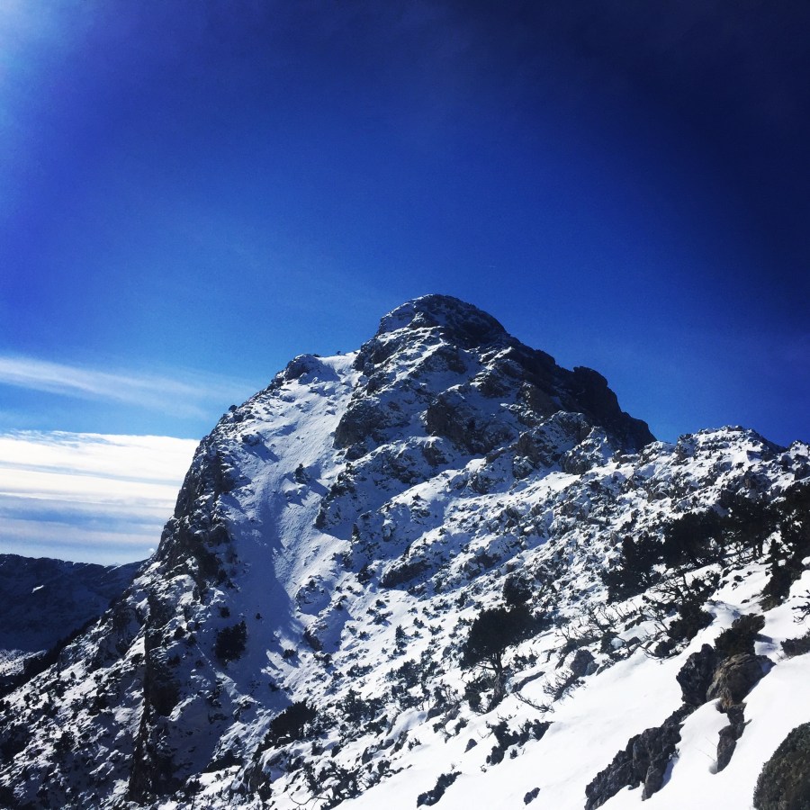
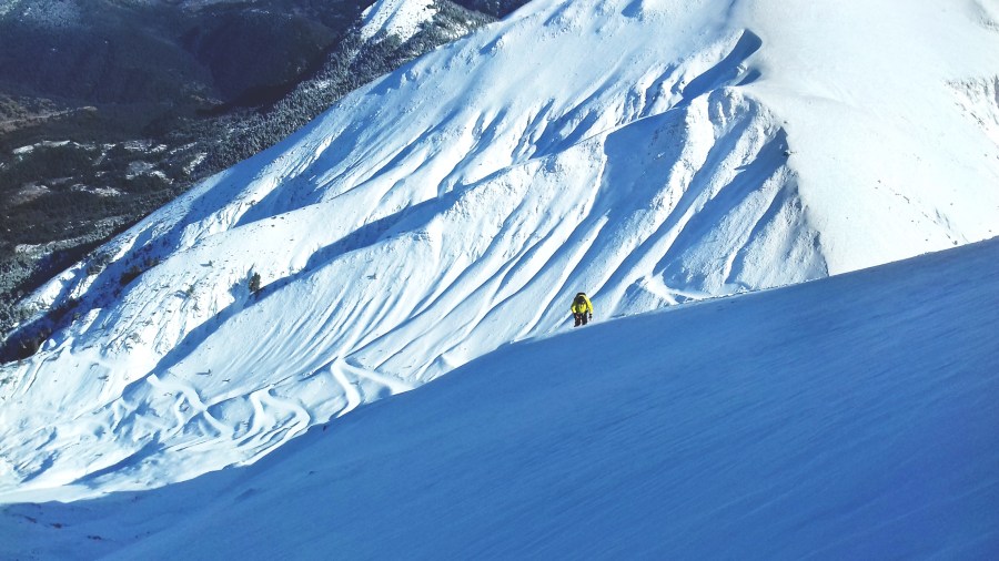
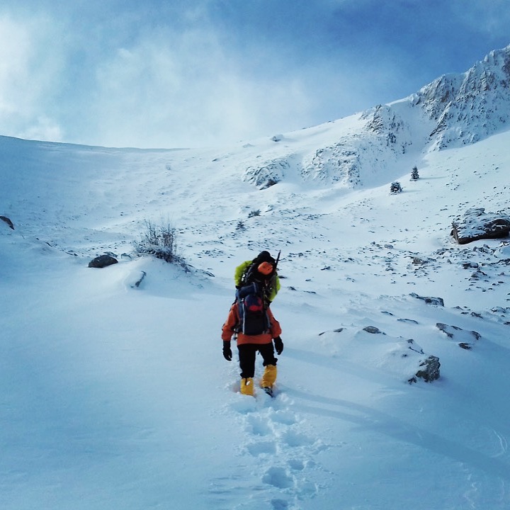
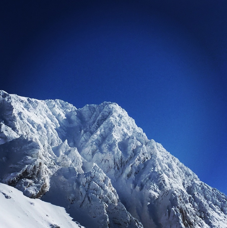
Artemisio mountain is on the border between Arcadia and Argolis, in the Municipalities of Argos-Mycenae and Tripolis respectively. It forms part of the mountain range that connects the Argolic Gulf with the Corinthian, and as such, it borders with Lyrkeio mountain on the north and with Ktenia mountain on the south. On its west is the plateau of Mantineia. Its tallest peak is 1,771 metres in height.

artemisio_mountain_winter_03

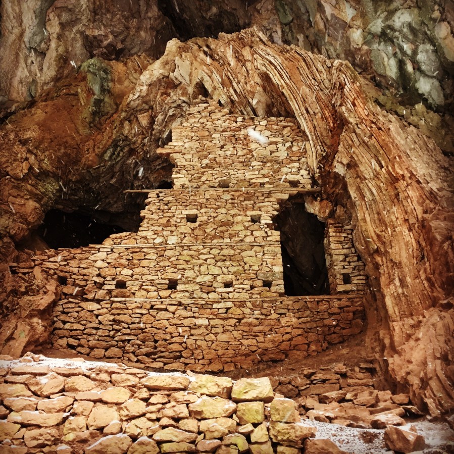
According to Pausanias, a sanctuary dedicated to goddess Artemis, patron of hunters and wild nature, used to sit on its peak. The Roman traveller mentions the sacred grove of Itamoi, a European Yew that is very toxic, and according to mythology, the goddess used it to poison her arrows; unfortunately, the grove has not survived. Today, very few fir trees survive. The river Inachos has its spring on the mountain, its mouth in the Argolic gulf, and is one of the few springs that can be used for those who decide to climb the mountain.

Continue reading “Winter Ascent on Artemisio Mountain”

Winter Ascent on Mount Mainalo

The Mainalo, named after the mythical Maenalus, son of Lycaon, is a mountain range that spans about 15 to 20 km from north to south (southwest of Tripoli to northeast of Vytina) and from east to west from 5 to 10 km (from Zygovisti to Kapsas).

The mountaintop which is also known as Ostrakia elevates at 1,860 m is in the northwest central part. Mainalo is also the tallest mountain in Arcadia. The highest mountaintop is named Profiti Ilia and the height is 1.981 meters above sea level. The entire area is also a parkland.

mainalo_mountain_02
Trees, Snow and blue Sky

Continue reading “Winter Ascent on Mount Mainalo”

Winter Ascent on Mount Kaliakouda

Mount Kaliakouda is like a twin to Chelidona; seperated only by Karpenisiotis river, the two are of almost equal height. An ideal destination for adventure-seekers, it stands out for the wildness of its nature and thanks to its contiguity with other mountains, it may serve as a base for several days of exploration.

kaliakouda_10

Continue reading “Winter Ascent on Mount Kaliakouda”

Winter Ascent on Mount Tymfristos (Velouchi)

Mount Timfristos or Velouchi, located between Evritania and Phthiotis prefectures, belongs to the Pindus mountain range and is connected to Agrafa. From its peak you can see the mountains of central Greece, with Vardousia and Kaliakouda to the south and Panetoliko and Chelidona to the southwest. About 50% of Evritania is dominated by forests- a higher percentage than any other greek perfecture-, consisting mostly of firs and some deciduous species on lower grounds.

mount_velouchi_17

Continue reading “Winter Ascent on Mount Tymfristos (Velouchi)”

Mount Varnoudas Expedition Preparation – Winter 2017

An impressive mountain range at the edge of Greece, which is distinguished for its rich forests, the variety of streams and the large alpine meadows, which host a affluent in endemic and rare species flora.

Varnoudas or Varnous, is spread at northwest of Florina’s prefecture, in the border with FYROM. The mountain constitutes the south endpoint of the larger mountain range of Peristeri (Pelister or Mpampa in Slavic language), which its main volume is situated insider the neighboring country. West of the mountain, are the Prespes Lakes, with the slopes of Varnoudas offering unique view to the basin that is created by the two lakes. At North, the mountain is connected with the rest of Pelister, at east, the foot of the mountain end up to Florina’s plateau and at south, is divided from Mount Vernon, by Vigla’s neck.

Continue reading “Mount Varnoudas Expedition Preparation – Winter 2017”