
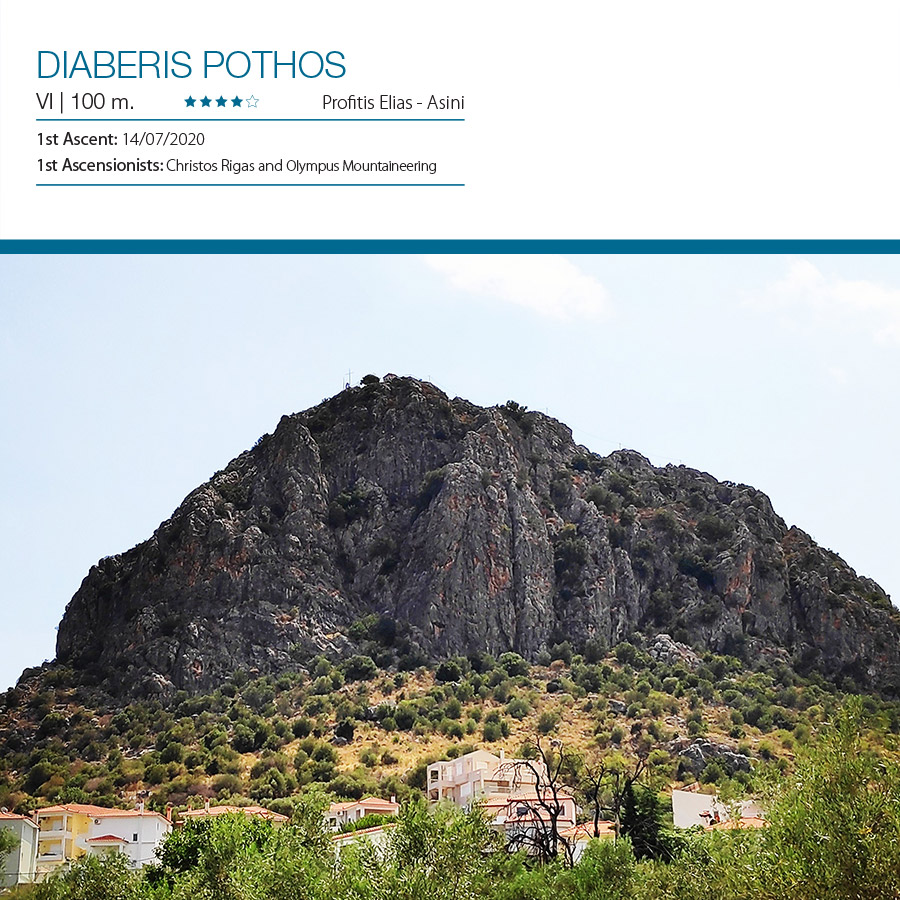
Few weeks ago, on this blog I published my first ever First Ascent that took place on Mount Ortholithi. This time, together with 3 fellow climbers we decided to go and explore the Profitis Elias rock of Asini, nearby Nafplio city.
We have been informed that this rock is an excellent location for trad climbing and we also knew that has been totally unclimbed besides a route which was first ascended by Mountain Guide Kostas Tsoukleidis and Nadine Strobl (O Kipos tou Profiti V+ 110 m.).
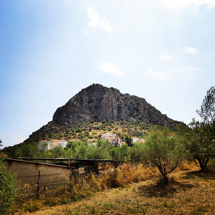
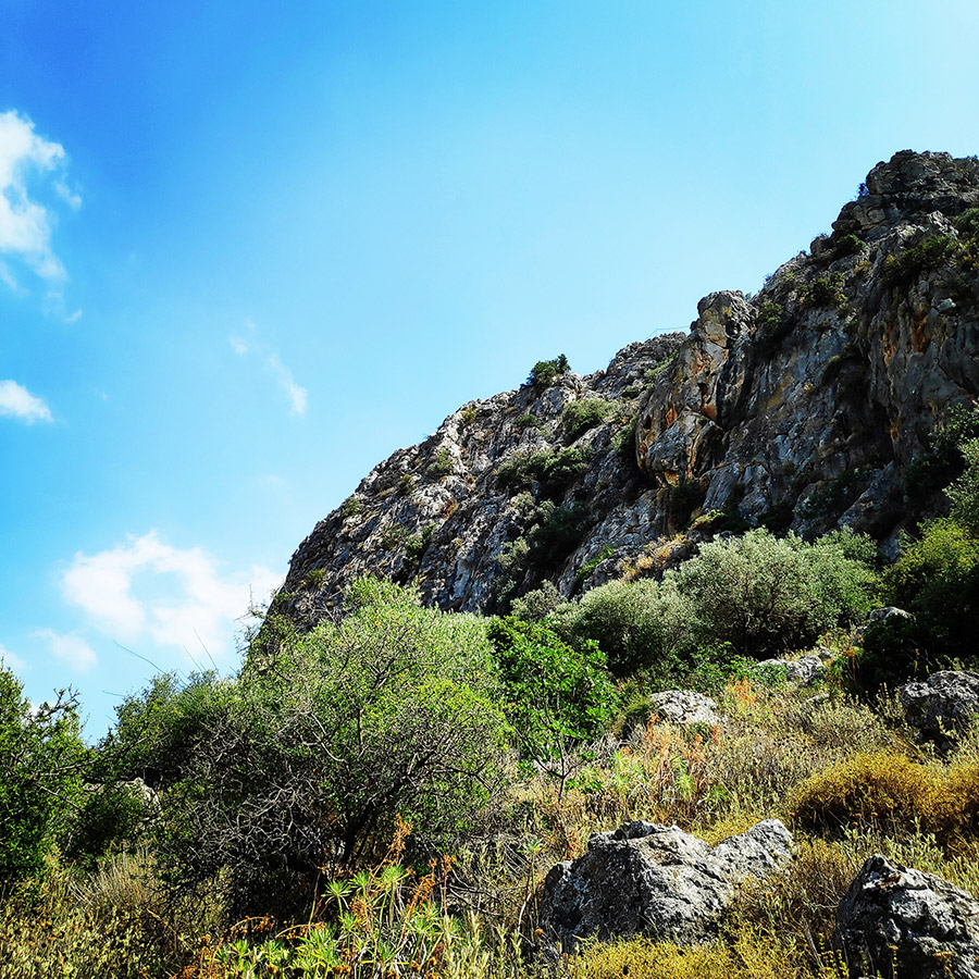
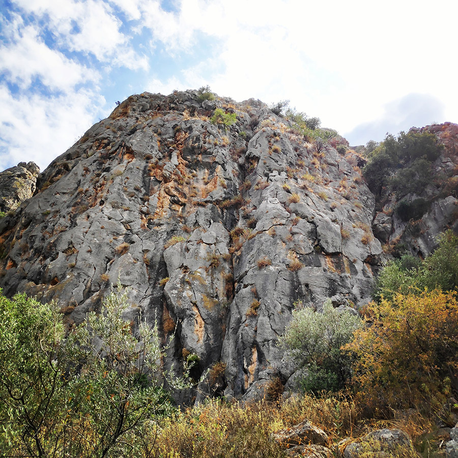
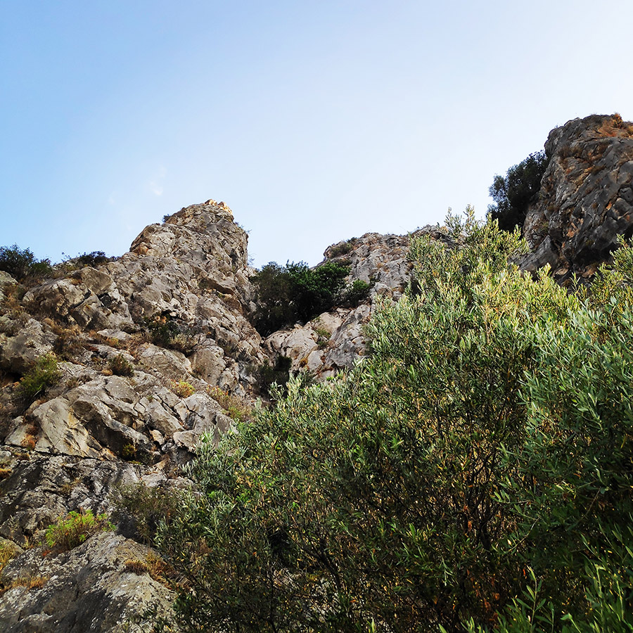
Therefore, we decided to go to explore the potential of Profitis Elias rock and specifically the North Face of the rock. We have been very pleased of what we have seen and we decided to climb to the top by the North-East couloir.

Diaberis Pothos VI UIAA 100 m. – First Ascent of the North-East couloir – Profitis Elias of Asini
On July 14, 2020, my fellow climber Christos Rigas and me, a.k.a. Olympus Mountaineering, we have climbed the route Diaberis Pothos VI UIAA 100 m.
Support the journey — buy me a coffee
I share these articles and the climbing guidebooks because I love the outdoors, and they’ll always be free. If they’ve helped you, help me keep them coming. Click the button to support my work.

Download for free the complete route description and Topo map
- Download the complete route description and Topo map in PDF (english)
- Κατέβασε το αρχείο με όλη την περιγραφή και το σχεδιάγραμμα της διαδρομής σε PDF (ελληνικά)
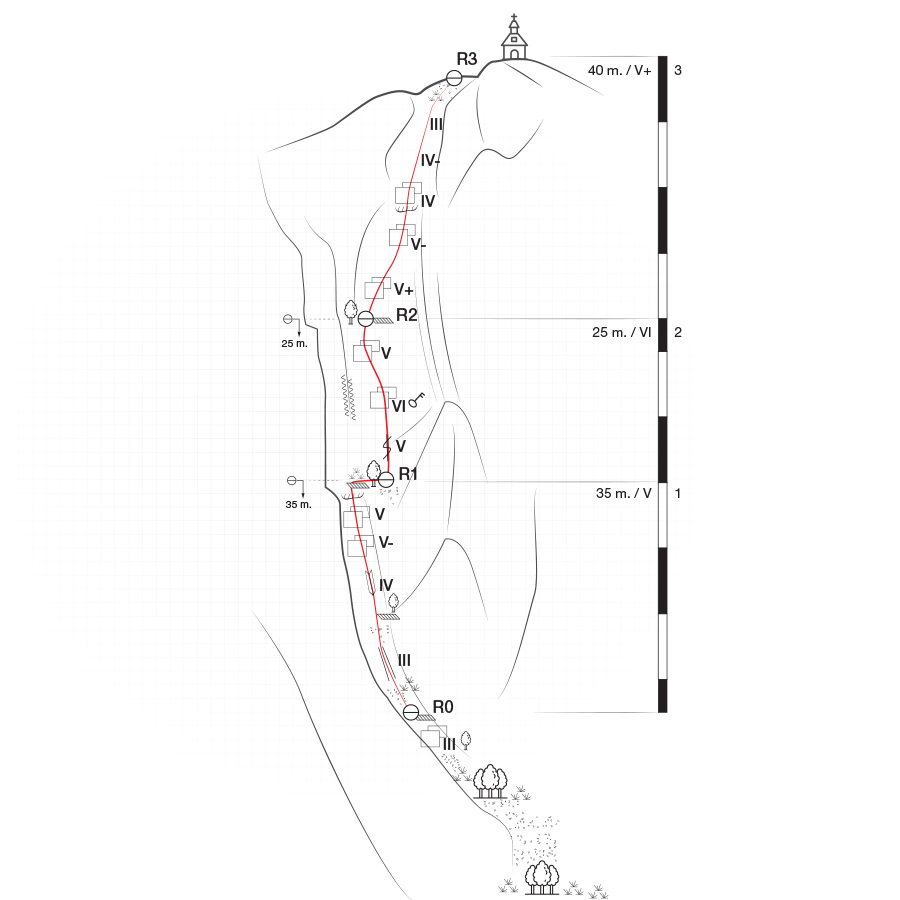
Diaberis Pothos VI UIAA 100 m. | Topographic map
If you are going to climb alpine rock faces, you will need the most detailed information possible about the rock and the route. All this can be found on a topographic map: This is a graphic representation of a climbing route and can usually be found in a guidebook or on certain websites. The lead climber should always have the topographic map at hand when on the rock face.
Like any map, a topographic map uses symbols to represent information about the rock. Climbers can orient themselves on the basis of these standardised Symbols. Illustrations indicate the climbing direction, the length of each pitch and the number and type of belay points. Further indicators that can help with orientation include a logical route, the rock quality as well notable features on the rock.
Bellow a topo of the route Diaberis Pothos VI UIAA 100 m.
General route information
“Diaberis Pothos” (VI, 100 m.) first ascent was made on 14/07/2020 by Christos Rigas and Olympus Mountaineering. The route follows the north-east couloir which is located on the north face of Profitis Elias Rock/hill. The route can be described as a “demanding route” with plenty of variety in the climbing style, from slab to dehydral and some scrambling too.
Approach
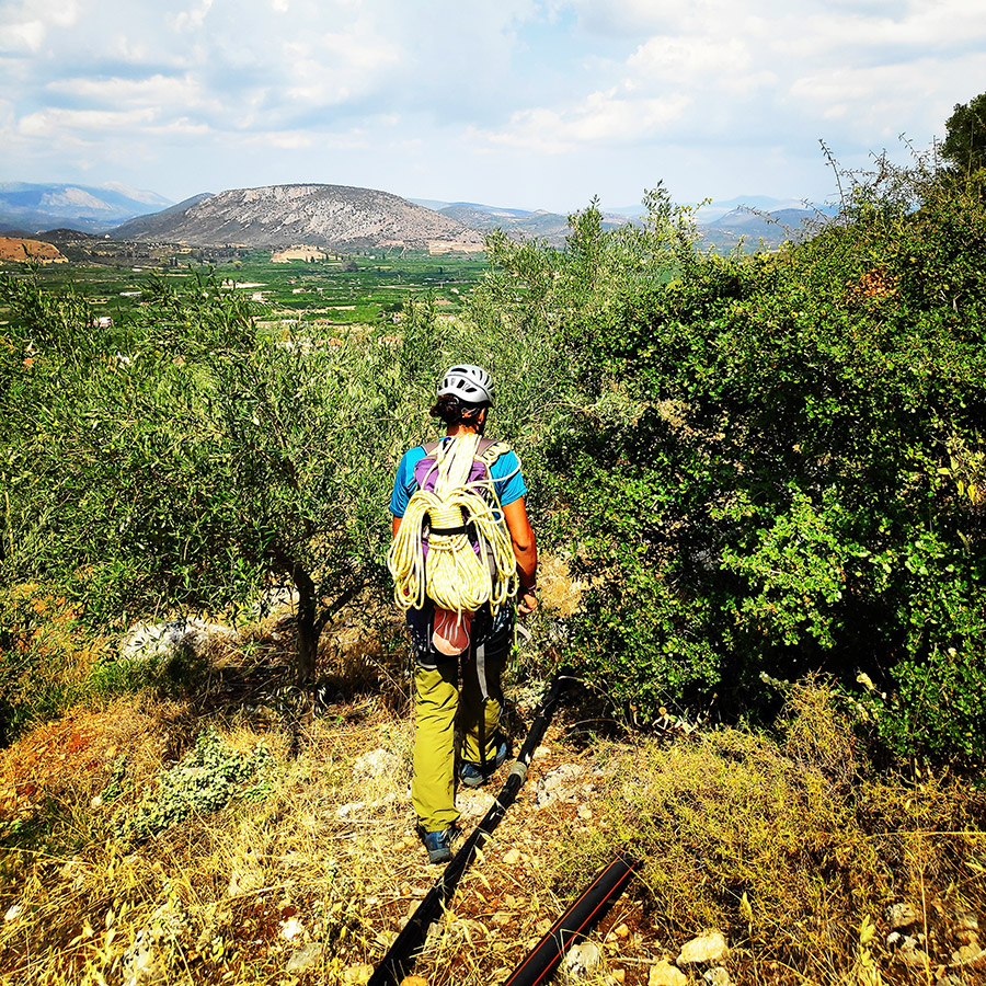
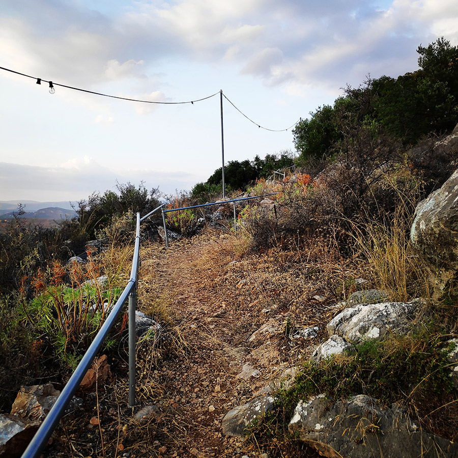
From Nafplio follow Leoforos Asklipiou and then follow the road to Tolo and Asini. Just before Asini, turn right to Agia Paraskevi. Once in Agia Paraskevi, follow the signs to Profitis Elias and about 150 meters before the trail (Stairs) to the Profitis Elias Chappel, you can park your car on the side of a dirt road.
- Parking lot location: 37.546691, 22.853306
- Beginning of the route: 37.545420, 22.855434
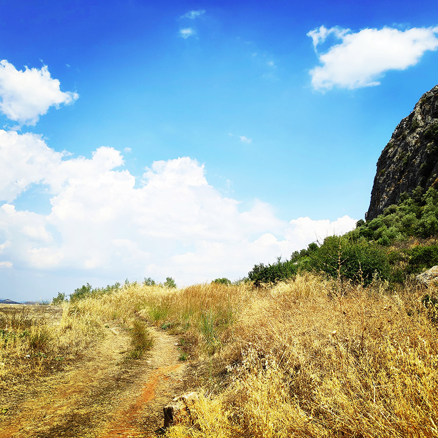
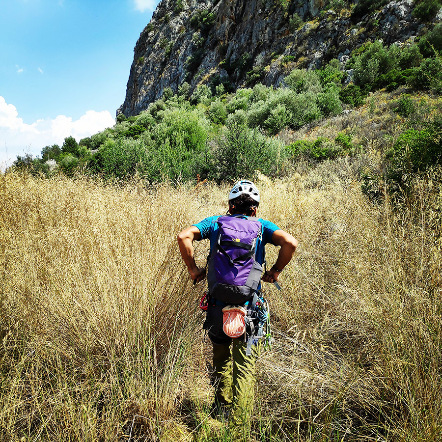
Approaching the R0 requires 15 minutes of hiking and there is not an obvious trail. Best advice is to follow a large tube that is providing electricity to huge projector lights.
Explore all outdoor activities in a convenient list view here
Route description
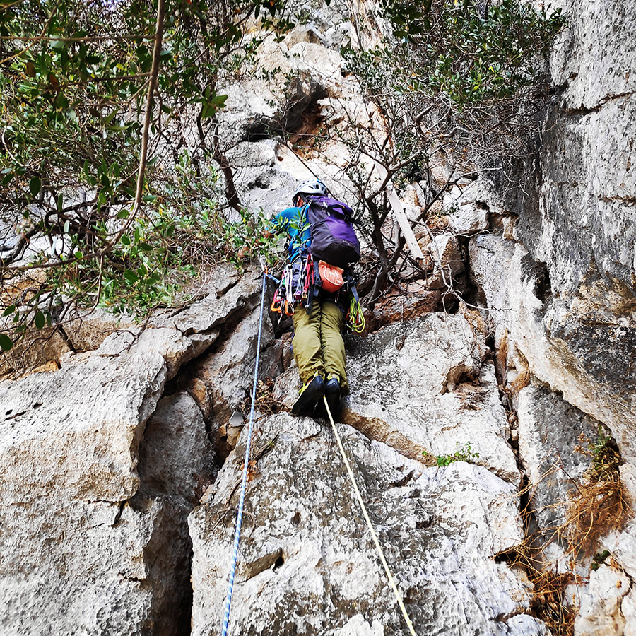
R0 – R1 | V UIAA 35 m.
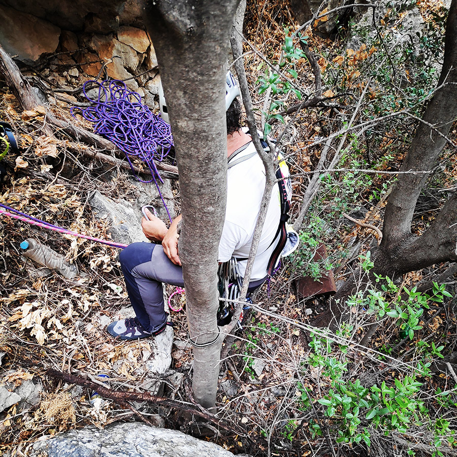
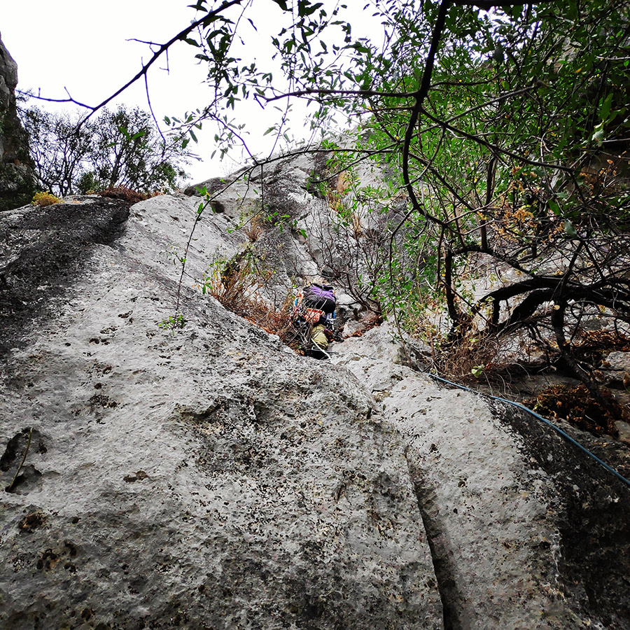
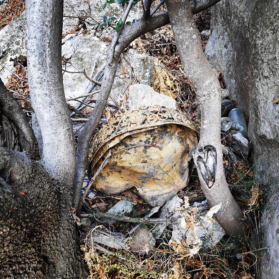
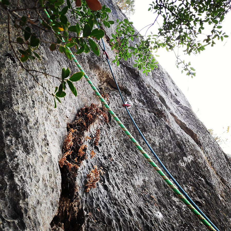
The route starts with the first ropes (35 m.) Right from the base of the north side of the rock (37.545420, 22.855434). The first steps are through a couloir with rubbles (III) and various (unfortunately) trash.
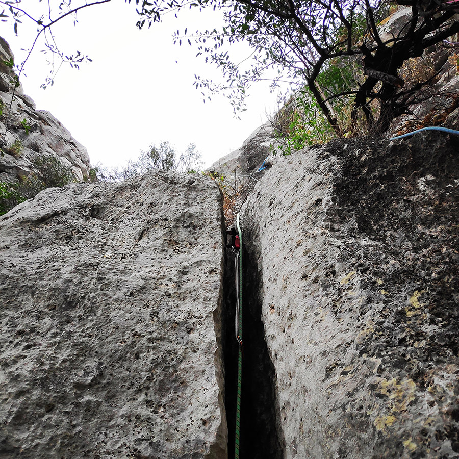
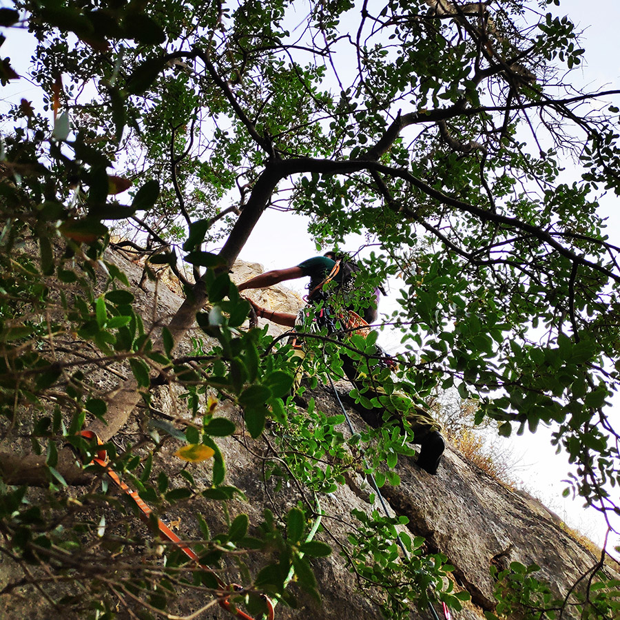
Then, the route goes through a IV degree passage and we climb up up to a small ledge where we can place a good protection (sling) in a wild olive tree. From that point a dihedral (IV) extends and we climb for about 5 meters until we pass (from the right side) another wild olive tree and we enter a slab of V degree that can be well protected with our gear. We continue to climb the slab (V) and we complete by reaching a ledge from the left side, but it needs attention(!) due to a large volume of rubbles and fragments. Having reached the ledge we move to the east (right) until we see a rock slab a significant “S” crack. Few meters above the crack, we can clearly spot 2 tunnels.
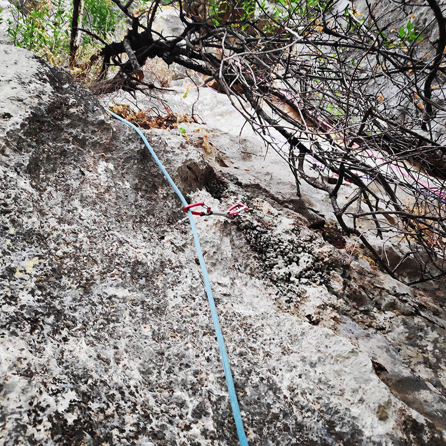
Make a belay with a large sling or kevlar cordelette in an obvious large tree. The location for belay is very good and comfortable.
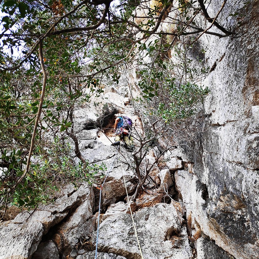
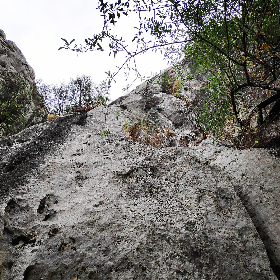
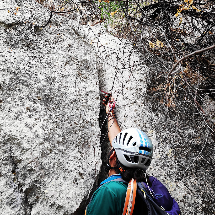
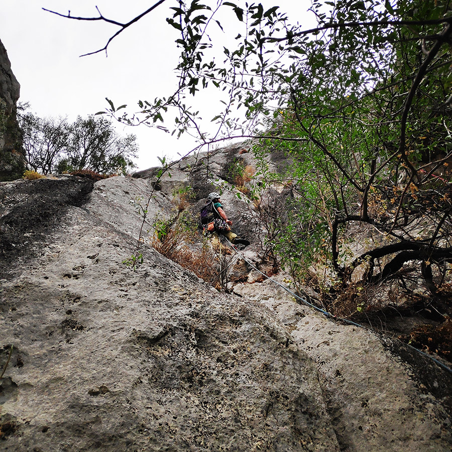
R1 – R2 | VI UIAA 25 m.
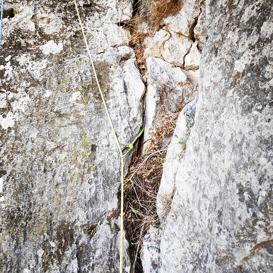
The second pitch (25 m.), starts from the base of the “S” crack (V) where we can place a big camalot (No. 6) as first protection gear. We climb the “S” crack (V) from the right side and our goal is to reach the first (of the two) tunnel where we can place a good piece of gear (sling) before entering the crux of the route.
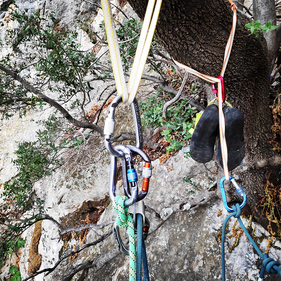
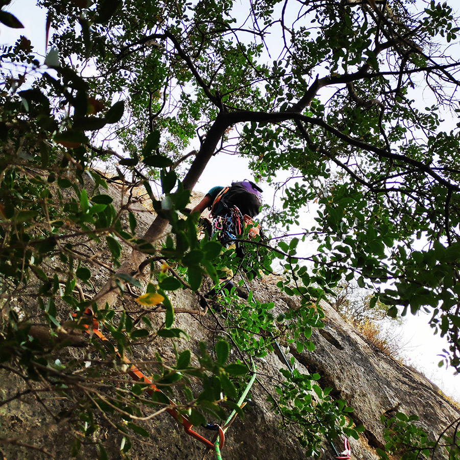
Having reached the first tunnel, we have to move slightly to the left (east) and move to a rock slab (VI) where we have to make 3 beautiful but demanding moves of VI degree until we reach the second obvious tunnel of the route where we can again place a sling. The second pitch is completed again on a slab by moving slightly to the left (east) with a maximum difficulty of V degree.
We can belay with a large sling or kevlar cordelette in an obvious large tree. The location for belay is good, relatively comfortable and with a unique view to the village of Agia Paraskevi.

Check out more FREE Guidebooks
Download now for free! Explore breathtaking landscapes and conquer thrilling heights with our collection of guidebooks and topos.
Don’t miss out on this opportunity to elevate your outdoor adventures. Click, download, and let the exploration begin!
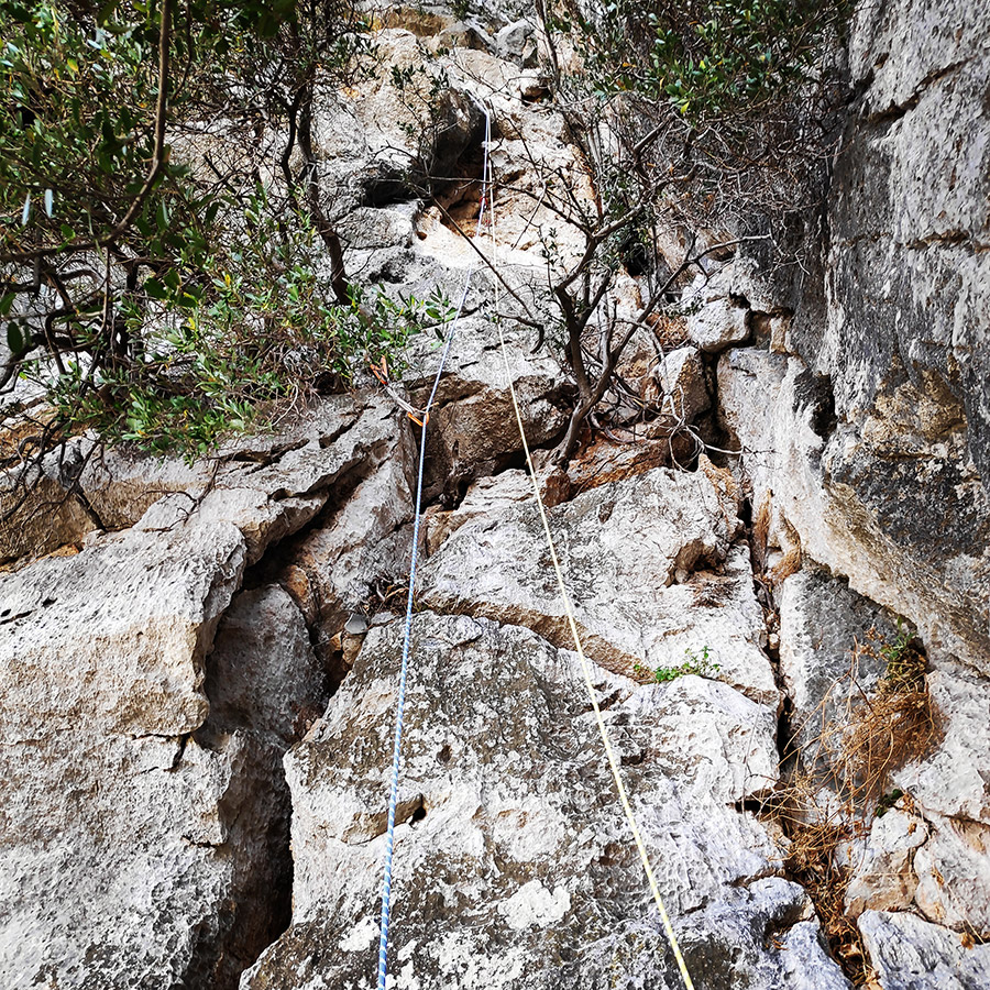
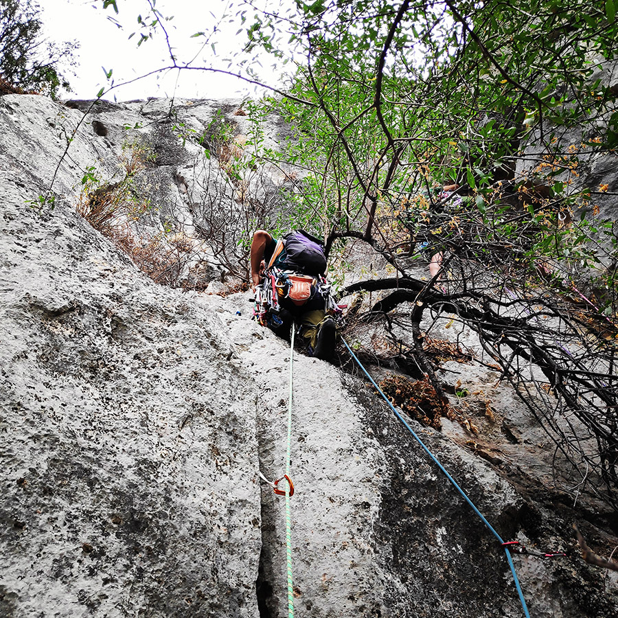
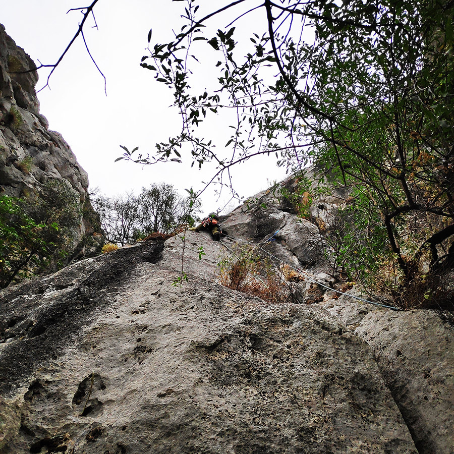
R2 – R3 | V+ UIAA 40 m.
The third pitch (40 m.) starts exactly vertical to R2 with a V + grade slab but can be protected quite well by 2 trees but also with nuts and/or friends. Then we continue the obvious upward course in a slab (V-) and as we approach the end of the route, the degree of difficulty decreases (III) and the last 10 m become scrambling.
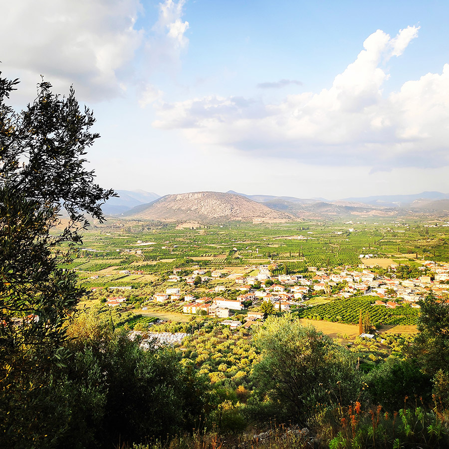
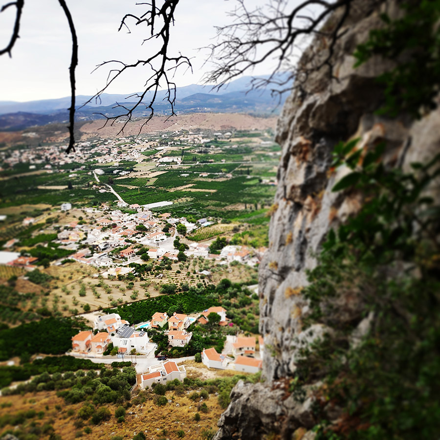
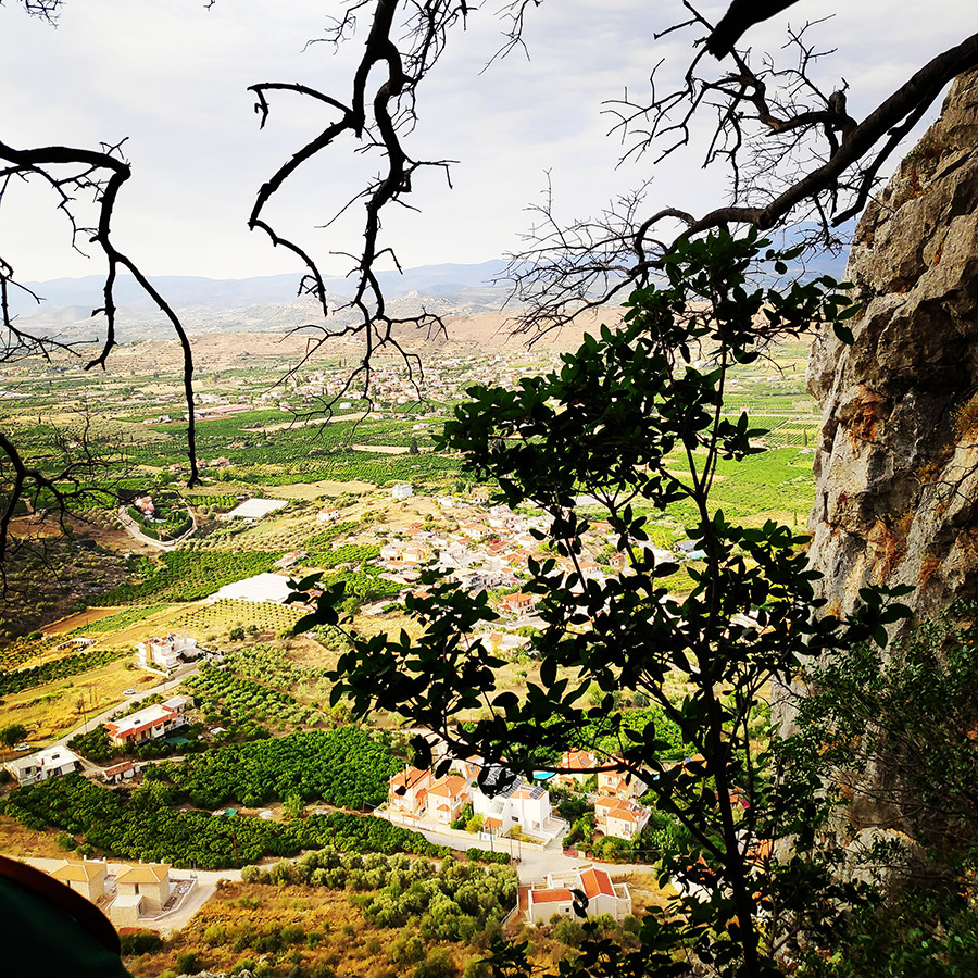
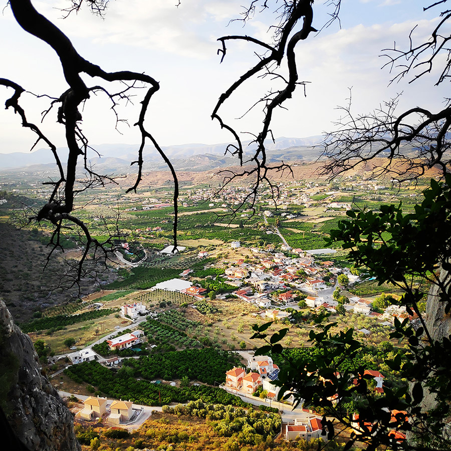
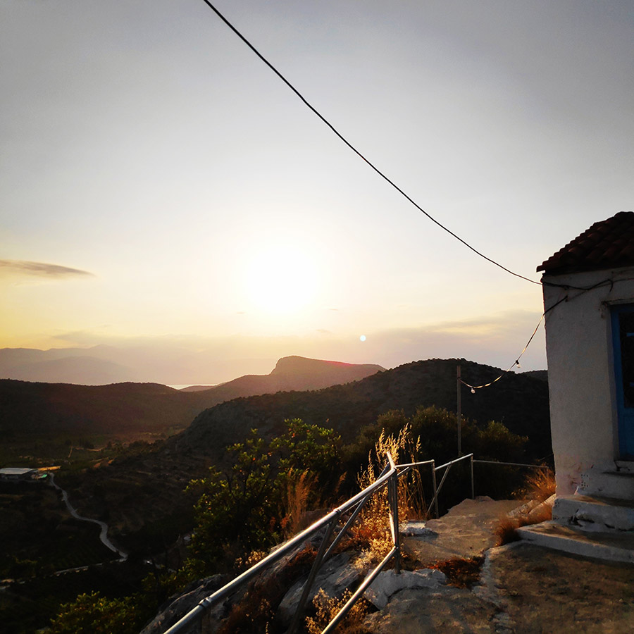
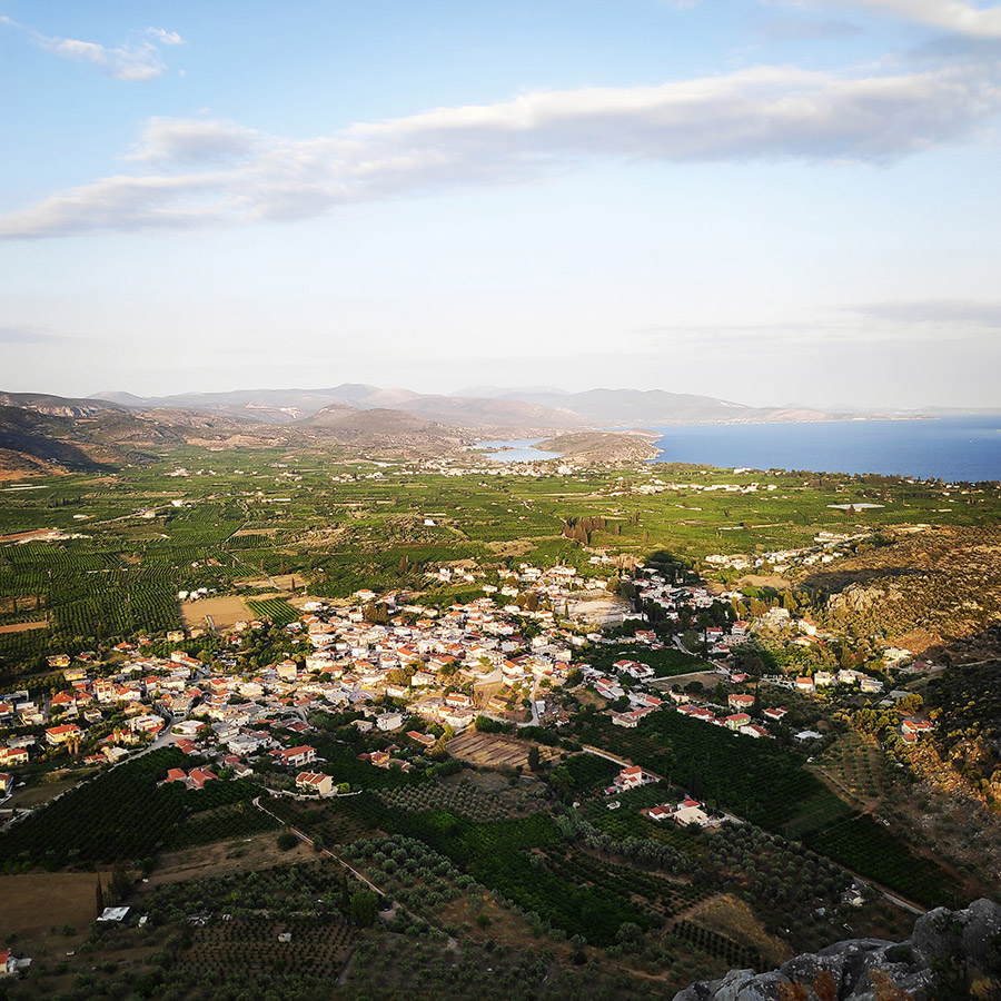
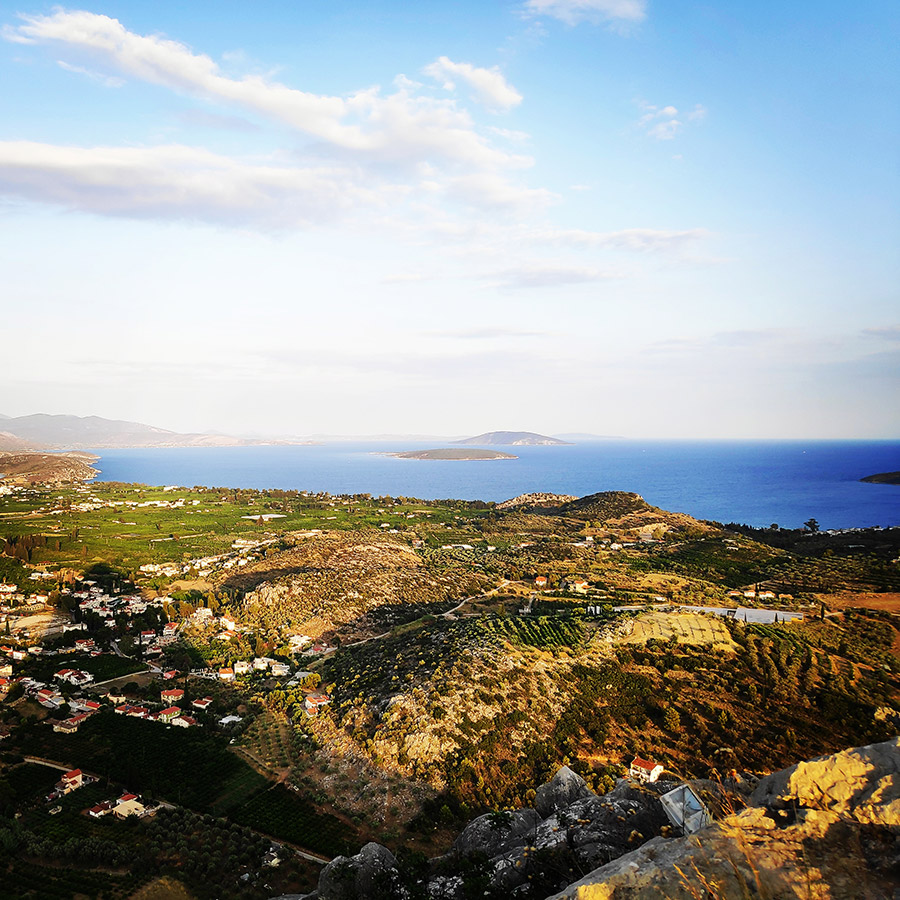
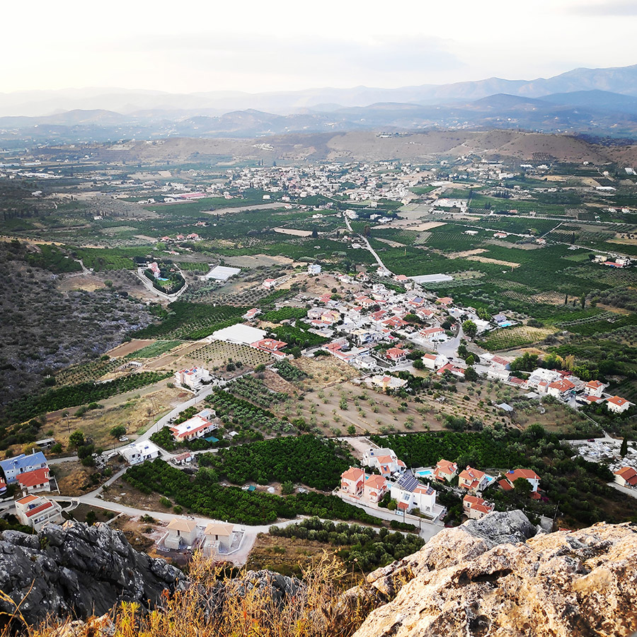
At this point the view to the east, begins to become unique and we can see Tolo and islands such as Romvi, Koronisi and Platia.
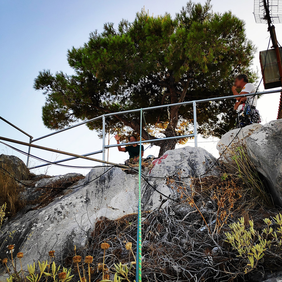
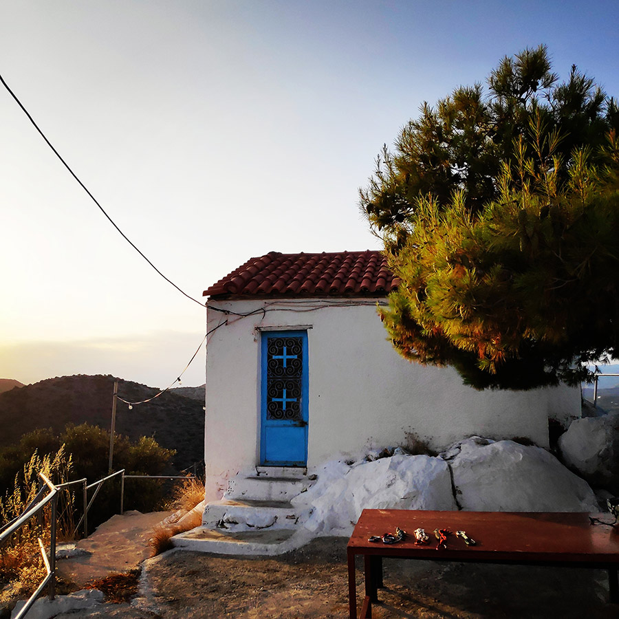
At the top where the route ends, we will find the old chapel of Prophet Elias.
Subscribe & Stay Informed
Enter your email address to follow this blog and receive notifications of new posts by email
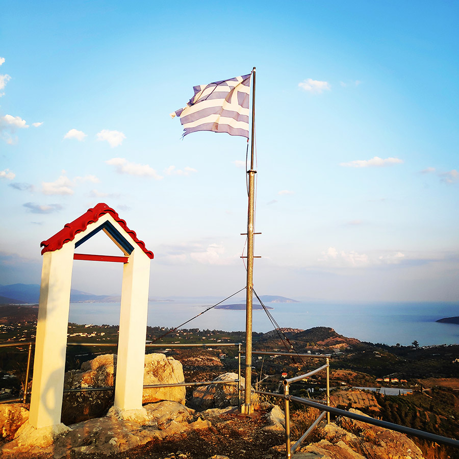
At the top of Profitis Elias Rock
After three lovely pitches with some demanding moves but with very comfortable belays, we have reached the top of Profitis Elias Rock.
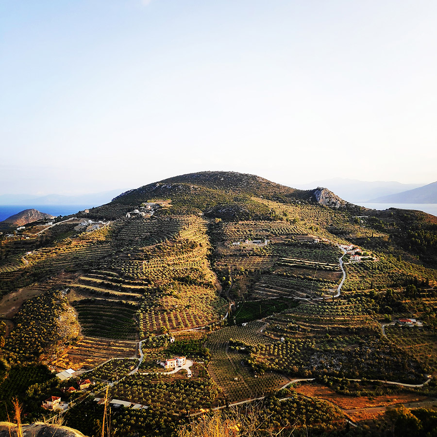
The little church that is build on top is dedicated to Prophet Elias, and thus the name of the hill. The view at the top is panorama (360º) and you can get a pretty good idea of the surrounding area and its morphology. It is on the way to the coast of Tolo, if you are coming from Nafplio.
There is a road that takes you from the village of Ag. Paraskevi to the lower parts of the hill. From there it is a 15-20 mins walk uphill, following the path designated by white crosses, that will take you to the top.
Return
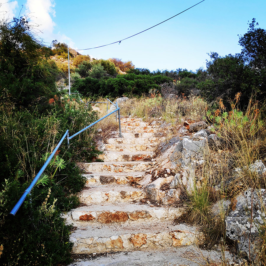
The return starts from the church of Profitis Elias and through 449 stairs and a very easy descent, we descend to the base of the rock. From there, we follow the dirt road where it leads us to the parking lot. The descent takes about 15-20 minutes.
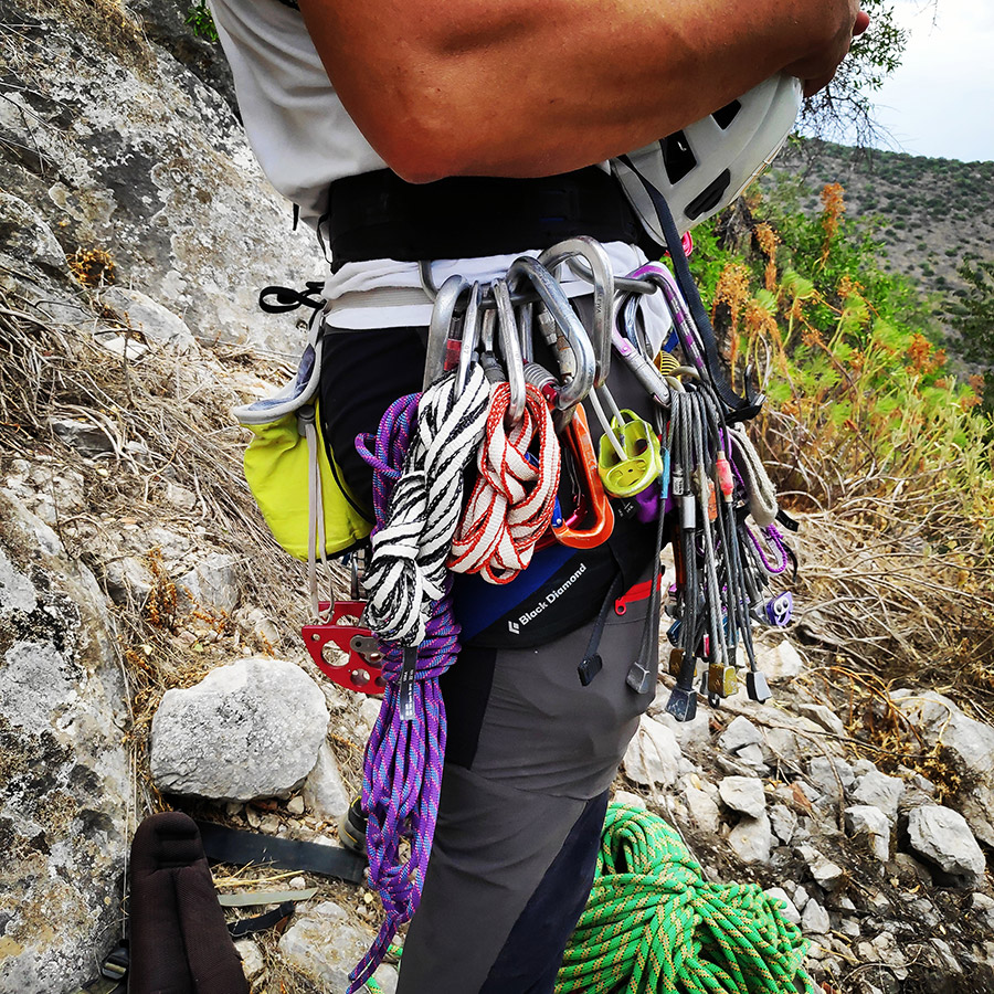
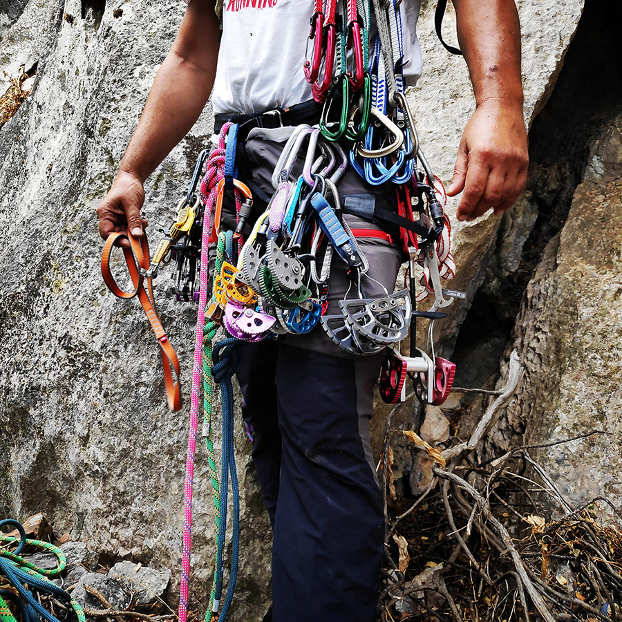
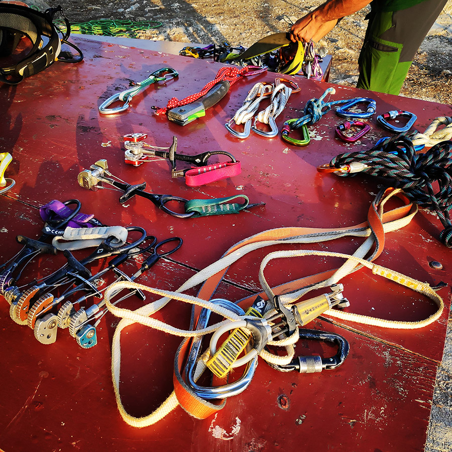
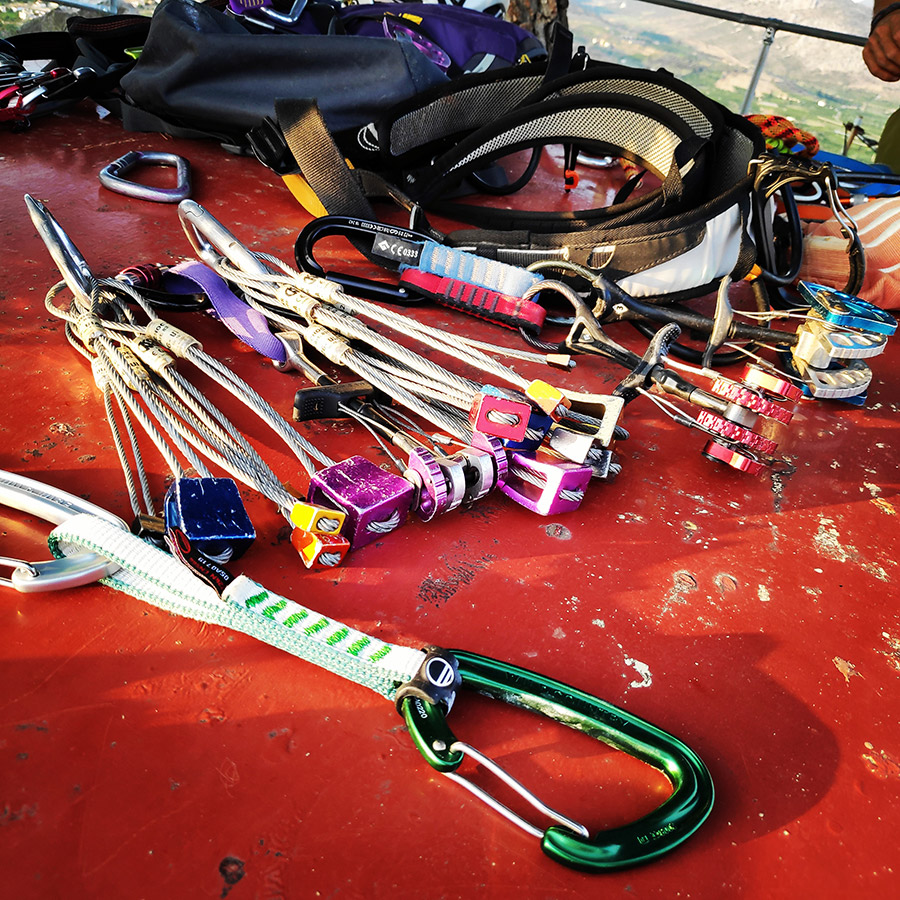
Recommended Gear
For this multi-pitch climb, I used the following gear:
- Mammut Wall Rider Helmet
- Simond 20 lt. Back pack
- 5 lanyards 60 cm
- 1 lanyard 120 cm
- 4 locking carabiners
- 1 HMS carabiner
- Mammut Ophir Speedfit Harness
- Simond Climbing shoes
- 6 Quickdraws
- Cordelette for prusik
- 2 x 1/2 60 m. ropes
- 4 carabiners
- BD Cams
- Reverso
- 1.5 lt of Water
- 1 energy bar
- Rock Nuts
Support the journey — buy me a coffee
I share these articles and the climbing guidebooks because I love the outdoors, and they’ll always be free. If they’ve helped you, help me keep them coming. Click the button to support my work.
Download for free the complete route description and Topo map
- Download the complete route description and Topo map in PDF (english)
- Κατέβασε το αρχείο με όλη την περιγραφή και το σχεδιάγραμμα της διαδρομής σε PDF (ελληνικά)
Below: This map marks all the mountaineering adventures that have been featured on Olympus Mountaineering so far, including several Sport climbing crags – Select full screen to expand, zoom in for more detail, or click on a marker for a link to the post.

The View is absolutey stunning!😍😍😍
LikeLiked by 1 person
Indeed, the view was great and after a demanding climb, it was just the perfect place to relax for few moments.
LikeLiked by 1 person
Yes, I thought it was demanding. It looked very steep. Well done! 👏👏👏
LikeLiked by 1 person
Ειμασταν στην περιοχη σου και δυο μερες πριν, στις 12 Ιουλιου, ανεβηκαμε πεζοπορικα στον πρ Ηλία. Μας εκανε εντυπωση, αλλα δεν ειχαμε καθολου πληροφοριες. Αρκεστηκαμε σε σκαρφαλωμα στο Κονδυλι.
Πολυ ωραια διαδρομη ο Διαμπερής Ποθος!!!
Καλη συνεχεια και ελπιζω να ξαναβρεθουμε στα βουνα…
Αντωνης Νανσυ
LikeLike
Χαίρε Αντώνη και Νάνσυ,
Εύχομαι να περάσατε όμορφα στο Κονδύλι και να συνδιάσατε την αναρρίχηση με την όμορφη παραλία.
Ο “Διαμπερής Πόθος”, ανοίχτηκε πριν απο 2 ημέρες, όμως, στον συγκεκριμένο βράχο υπάρχουν πολλές πιθανές γραμμές για νέες διαδρομές. Επίσης, να αναφέρω ότι στις 22/1/2012 ο Κώστας Τσουκλείδης μαζί με την Nadine Strobl, σκαρφάλωσαν το χαρακτηριστικό “σχισμοδίεδρο” που υπάρχει στην βόρια όψη του βράχου. Η διαδρομή έχει πάρει την ονομασία “Ο Κήπος του Προφήτη” (V+ UIAA, 110 m.).
Την επόμενη φορά που θα είστε στην περιοχή, ενημέρωσέ με.
Χαιρετισμούς
LikeLike
Amazing views at the top, nice climb 👌
LikeLike
Indeed, the view from the top is really nice and the best thing about it, is that you do not need to climb the entire rock. You can just have a 15-20 minutes uphill hike.
LikeLiked by 1 person
Pingback: The Ultimate Guide of Climbing in Argolis, Greece – Olympus Mountaineering
Love this post! VERY organized, easy to find information, and the pictures add that crucial extra dimension. Ahhhh, I need to get to Greece!
LikeLiked by 1 person
Thank you for reading this post and I’m pleased to know how the info is organised and easy to be understood.
You are mostly welcome in Greece, and should you need any information, feel free to get in touch.
LikeLiked by 1 person
Pingback: Simond Alpinism 22 Backpack – Long Term Review – Olympus Mountaineering
Love this post xx
LikeLike
Pleased to know you like this post. Thanks for reading through the blog.
LikeLiked by 1 person
Pingback: Camp Mach Express Dyneema Quickdraw Review – Olympus Mountaineering
Pingback: A Trad Climbing Guidebook of Profitis Elias – Asini, Argolis (Greece) – Olympus Mountaineering
Pingback: The Ultimate Guide of Trad Climbing in Nafplio – Karathona & Asini (Greece) – Olympus Mountaineering
Pingback: Climbing in Charamos Crag – Kandia – Argolis, Greece (Update 2023) – Olympus Mountaineering