The third day of this amazing thru-hike, started after a good sleep and rest in the mountain refuge of Astraka. Although, day one and day two we had to carry a heavy load, we were very excited to carry on with our adventure and exploration of Mt. Tymfi.
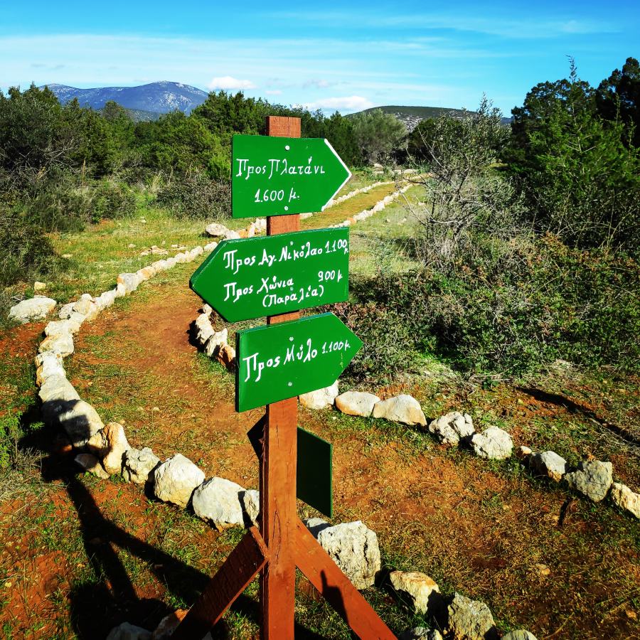
For this third and last day on the mountain, we had as first goal to go through the Davalista pass which is located NW from the Astraka refuge, and as a final destination to get back to Konitsa where we had parked our car.
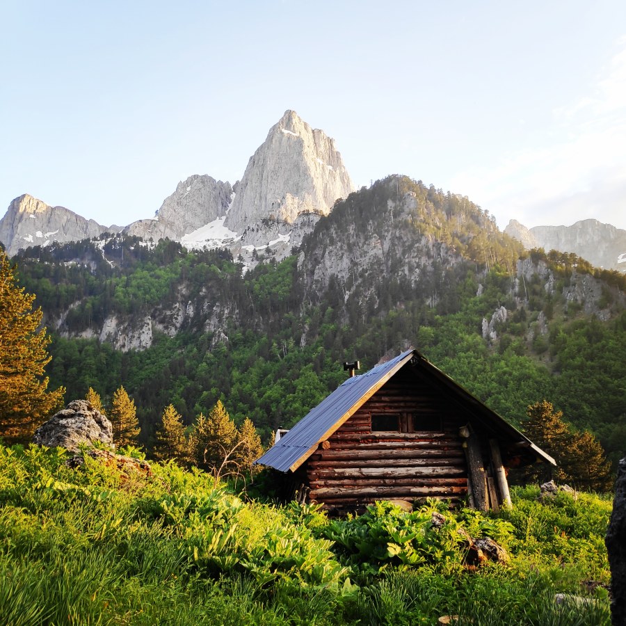
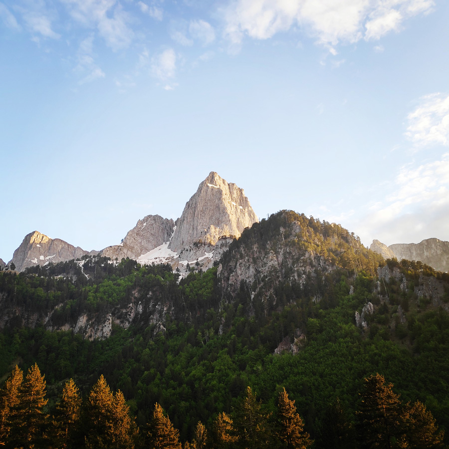
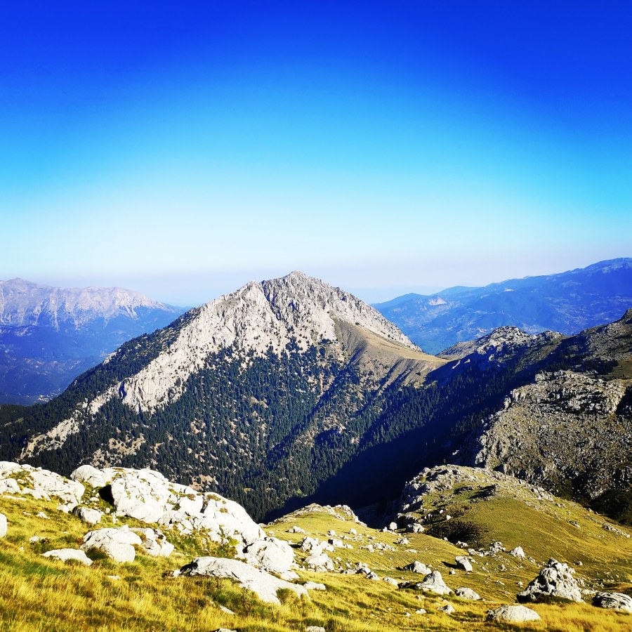
Astraka peak – What a lovely morning view from the refuge
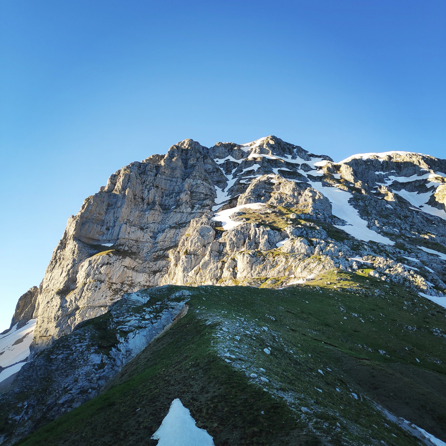
Following a rather good night of sleep in the “secret” log cabin, we woke up with a unique and mesmerising morning view. The early morning sun beams were gently hitting the high peaks of Mt. Tymfi and specifically Gamila peak. The contrast of the rock and the clear blue sky was great and there was clearly visible a line, which happens to be one of the most repeated trad-climbing routes of Gamila, Tsekouri.
Although this second day we had to cover quite some distance and to climb up Karteros’ pass, we took it rather easy with our breakfast. We enjoyed our morning coffee and talked about past mountaineering activities and climbing routes.
Few years ago, I have visited the magnificent Mt. Tymfi from the south side and I was amazed by the beautiful landscape, villages and hiking routes had to offer. The past winter, Greece was under strict lockdown and it was rather difficult -and illegal- to visit Mt. Tymfi from another area. Though, nowadays, it is possible again to travel within Greece and therefore we have decided to visit again this magnificent mountain, but this time to reach the high peaks via the north side hiking routes.
Specifically, we decided to start from Konitsa, then hike towards Moni Panagias Stomiou, Sadi Mygas, Karteros Pass, Loutsa Robozi, Xeroloutsa Tsoumani, Astraka Refuge, Davalista and return back to Konitsa.
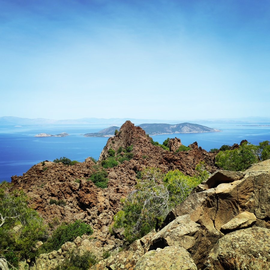
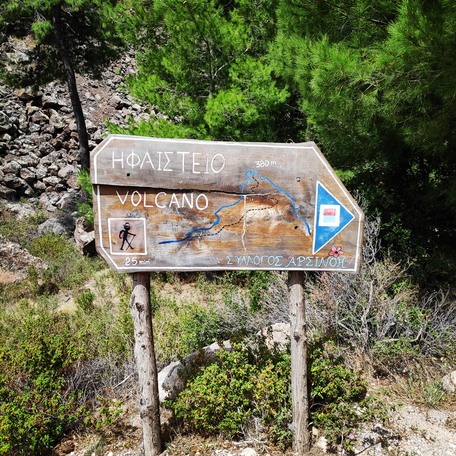
Last few months, I was mainly focused on sport climbing and mountaineering routes, though, finally once again I hit the trail for a great hike to the Methana Volcano.
Geologically speaking, Methanais a very interestingregion: a long time ago, it was veryvolcanic and nowadays, it counts no less than 32ancientcraters.One can also see some ancient lava flows, but it isthe volcanolocated in the north-west, not far from the village ofKameni Chora(= burned village), that is the most spectacular witnessof this volcanicpast – over here, one can really imagine oneself in a truelandscape ofvolcanoes.
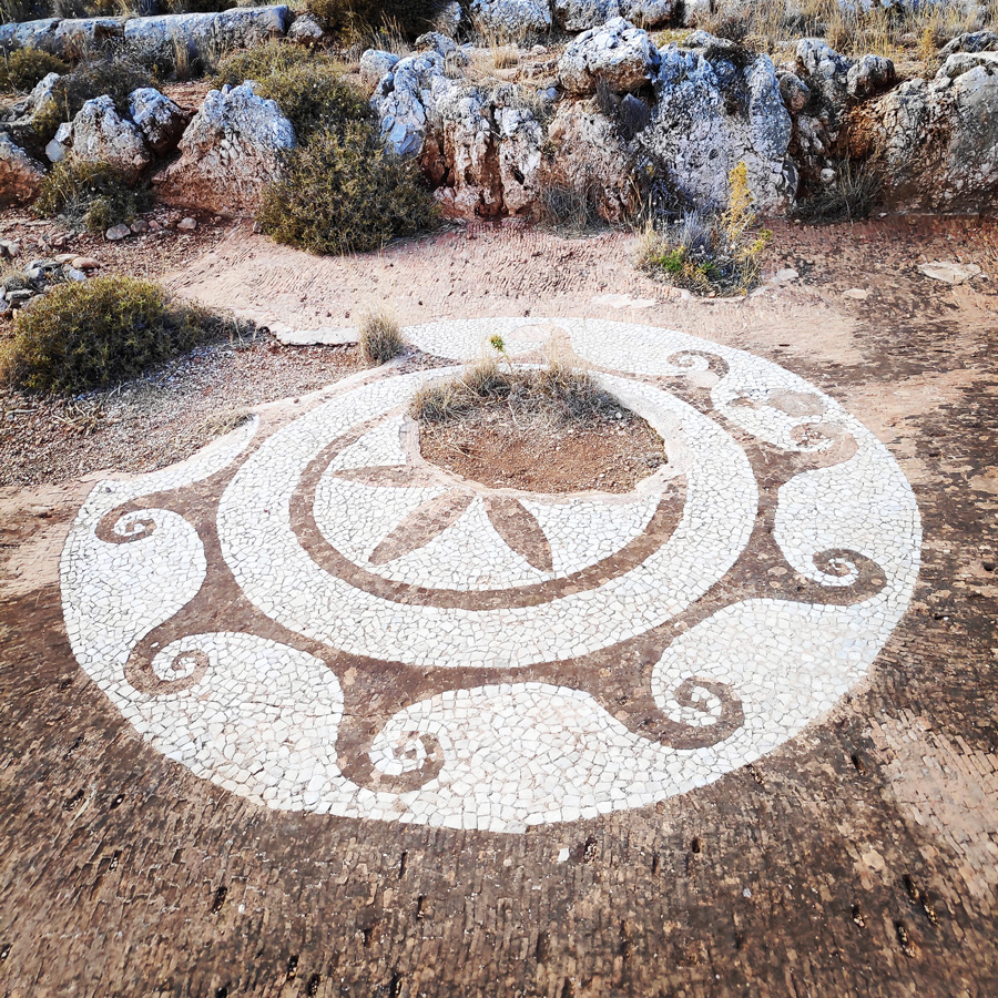
It has been quite some time ago since I have last visited the area of Ermionida and this time, besides climbing in the wonderful location of Caves of Franchthi, I also had the chance to visit a great trail that was created by the municipality of Kilada.
Kilada is a picturesque traditional fishing village located in Ermionida, not far from Kranidi and Ermioni. The small village is famous for its traditional shipbuilding and boat construction yards. The boatyards still continue to make and repair traditional wooden fishing boats, as well as maintaining modern luxury yachts for the residing yachting community.
In fact, due to the fact my last visit on this mountain was in 2017, I had forgot how beautiful is to be in such elevation and to enjoy the views and the peace that Mt. Giona can offer. The lofty mountains of the south Pindus range and the exalted emotions the utter wilderness of such mountains do always re-generate the human soul.
In this blog, most of the visitors come to read my various mountaineering, climbing and hiking activities in the mountains of Greece, but this time, I will post something a bit different. Greece is mostly famous for the history, mythology and of course for the splendid seaside and the blue waters. This post is dedicated to the southmost hike one can do in Greece, hiking to Cape Tainaron (Tenaro).
Cape Tainaron separates the eastern Laconian Gulf from the Messenian Gulf in the west. It is believed that it took its name from the mythical son of Zeus, Taenarus, who built a town named Taenarum after himself. At this region, a cave network was believed to be an entrance to Hades; the gate to the Underworld.
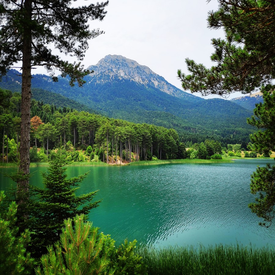
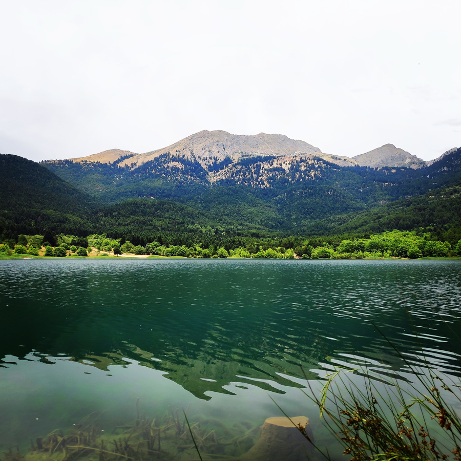
Lake Doxa is an artificial lake in western Corinthia, Greece. It is situated at an elevation of 900 m, in the municipal unit Feneos, near the village ancient Feneos. Construction was completed in the late 1990s. It is fed and drained by the small river Doxa, which empties into the plain of Feneos. In the heart of the lake on a small peninsula features a small church of Agios Fanourios. The Saint George Monastery in Feneos was relocated to higher ground, north of the lake. The lake is surrounded by pine forests.
We have already been in this location several times either for an overnight or as a starting point for several hiking and mountaineering activities.
Karavi Peak, Nisi Peak and Madero Peak as seen from Lake Doxa
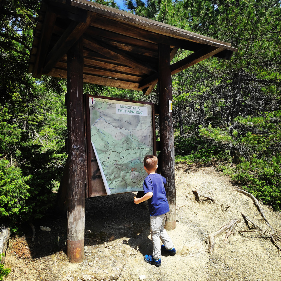
While some people think their days of hiking are “on hold” once they become parents, that’s just not the case! There are still plenty of adventures ahead for both parents and children.
If you’re a hiker with young children, you don’t have to put your hobby on hold until they head for college. And if you’re a parent who is new to hiking, there couldn’t be a better time to start! Spending time on the trail offers a world of opportunity for family outings and vacations. Not only will your family grow closer, but you can introduce the next generation to all that trails offer for personal growth and education while making life-long family memories.
One of the keys things to remember when hiking with children is that the trek no longer becomes about getting from point A to point B, but more about exploring the trail and what is on it.
It has been quite some time since the last post here on Olympus Mountaineering, and the reason was the full blown lockdown that was imposed in Greece due to the Covid-19.
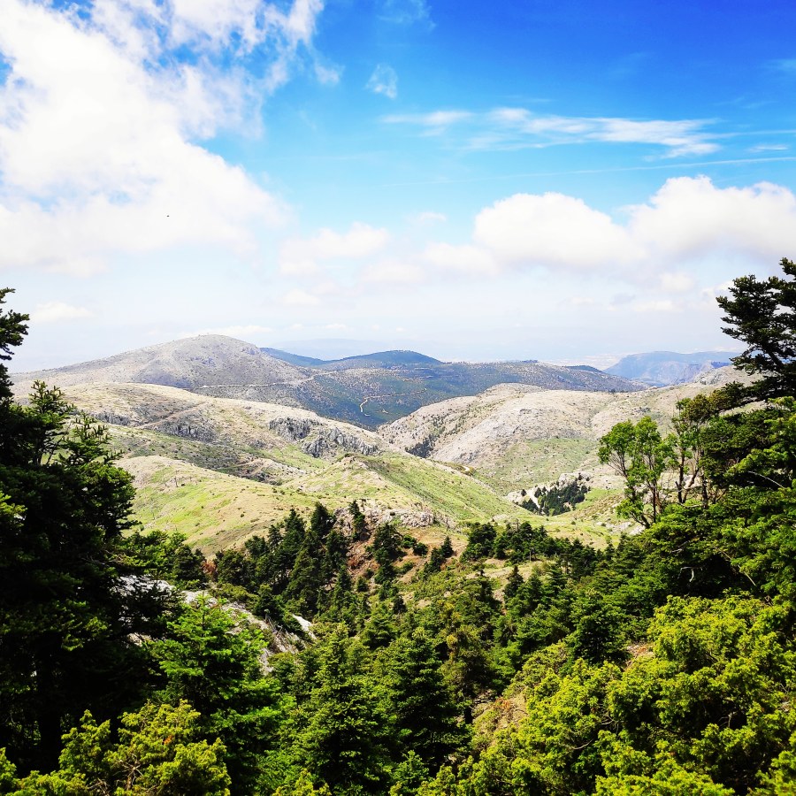
Many people that enjoy the outdoor activities were forced to stay indoors, basically in their homes for almost 2 months. Though, since few days, the severe lockdown measures have been partially lifted and therefore I did not loose the chance to go and enjoy the mountains once again. My first choice was Artemisio mountain, which offers stunning landscapes a nice trail to the peak and also some fun if one goes via the Arête of Artemisio.
Artemisio mountain is on the border between Arcadia and Argolis, in the Municipalities of Argos-Mycenae and Tripolis respectively. It forms part of the mountain range that connects the Argolic Gulf with the Corinthian, and as such, it borders with Lyrkeio mountain on the north and with Ktenias mountain on the south. On its west is the plateau of Mantineia. Its tallest peak which is called Malevos is 1,771 metres in height.