Climbing in Meteora – Doupiani Rock – Pantocrator’s Ridge (Ostkante/East Ridge)

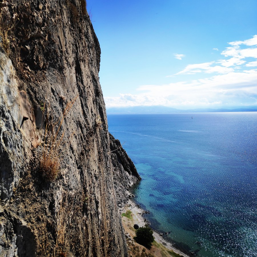
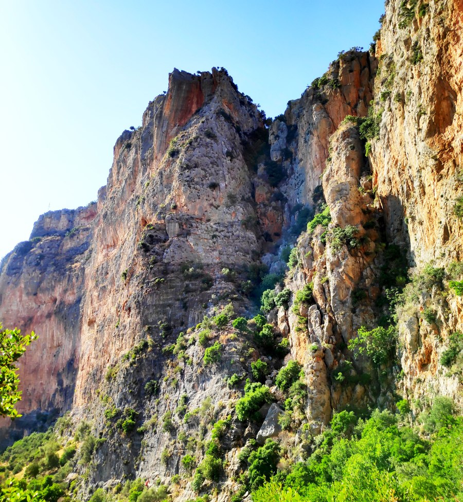
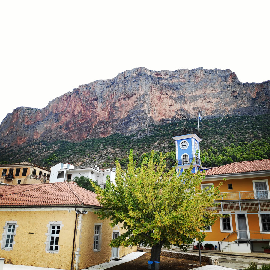
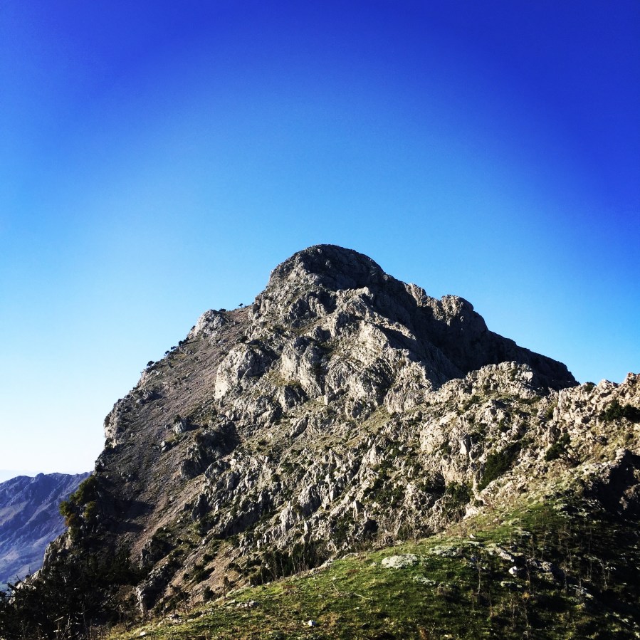
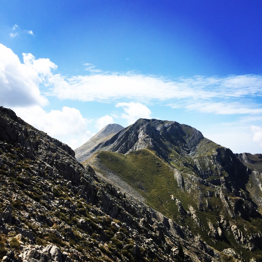
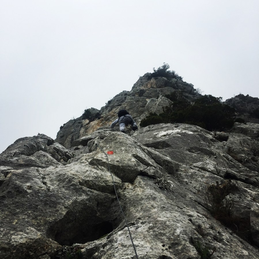
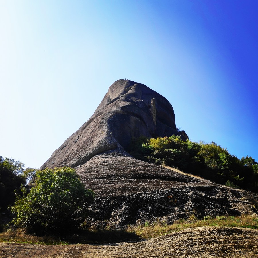
Doupiani Rock is for sure one of the most attended rock climbing destination of the Meteora (Μετέωρα) area, whose meaning is literally hanging in the air“, a charming and suggestive climbing site located in the Thessaly region of Greece.

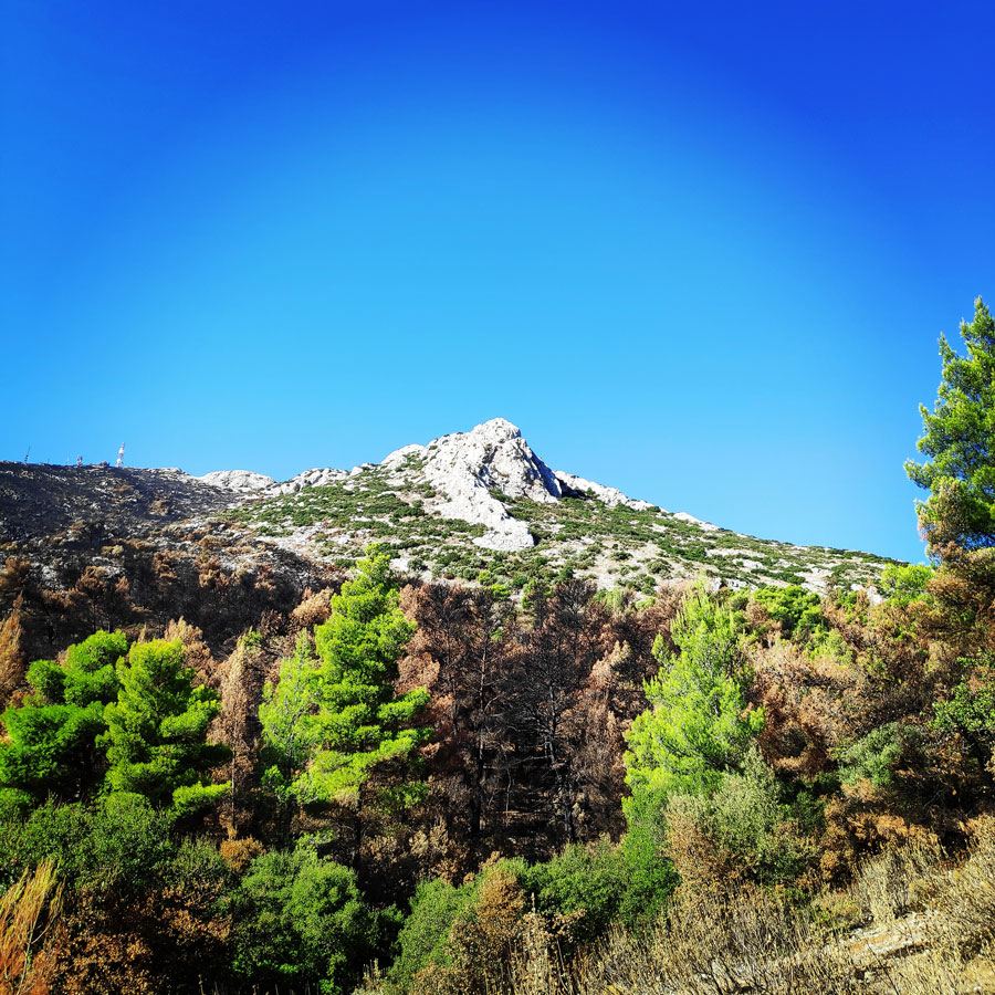
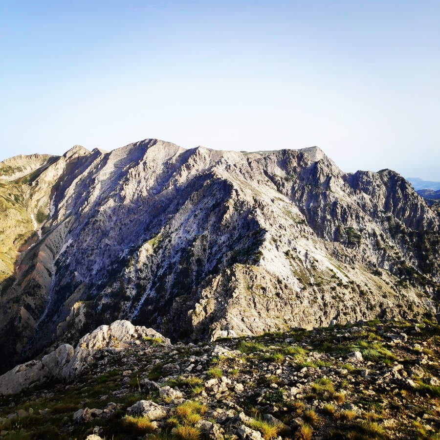
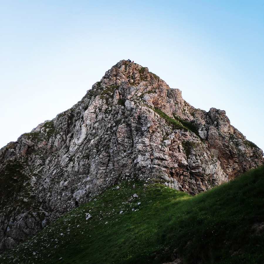
Meteora includes about 170 conglomerate summits of various shapes and types, as massive mountains, rocky pinnacles, minor peaks and spires, some of which are truly amazing and bizarre. The range overlooks the village of Kastràki and the town of Kalabàka and features about 850 multi-pitch and single pitch routes. Due to their singularity and a bit of mistery surrounding the place, in addition to the presence of various monasteries, the towers of Meteora are quite famous all over the world.

Climbing_Meteora_Doupiani_Rock_071514_582
Doupiani Rock as seen from Kastraki village

Continue reading “Climbing in Meteora – Doupiani Rock – Pantocrator’s Ridge (Ostkante/East Ridge)”

Trad Climbing in Varasova

Not far away from the estuary of river Evinos, the dominating Varasova rocks emerge right where the peaceful valley of Etoliko meets the sea. Plain beauty of the scenery, exceptional solidity of the rock, easy access and sea joys were the obvious advantages which have established Varasova, as one of the most important climbing areas in Greece.

Varasova is a limestone massif near the sea, just opposite of Patra and has a height of 917 m. There are three summits of almost the same altitude. Varasova flanks, drop abruptly into the sea on the south and Southwest and this is the location of the most important walls, just between Vasiliki and Kryoneri villages.

Climbing_Varasova_064903_676
Varasova as seen from Kryoneri
Continue reading “Trad Climbing in Varasova”

Climbing the North-East Rigde of Mount Hymettus (Prosilio Ridge)

Rising majestically to the east of the city of Athens, this sacred mountain is home to ancient Athenian temples and holy places. Despite human activity, Mount Hymettus remains an important natural habitat filled with diverse wildlife and vegetation.

The height is 1,026 m at Evzonas and the length is 16 km (9.9 mi) between Athens and the Saronic Gulf and 6 to 7 km from east to west. In the ancient times, the highest point was known as Mega Ymittos and the southern Elattona (Ελάττονα) and Anydro Ymitto (Άνυδρο Υμηττό). Once upon a time, mount Hymettus was noted for its thyme honey and Marble.

Hymettus_West_Ridge_Prosilio_Trad_Climbing_151815_982_b
Hymettus Ridge
Continue reading “Climbing the North-East Rigde of Mount Hymettus (Prosilio Ridge)”

Multi-pitch climb on Kokkinovrachos – Leonidio – Mignonette

Leonidio (Greek: Λεωνίδιο) is a town and a former municipality in Arcadia, Peloponnese, Greece. Since the 2011 local government reform it is part of the municipality South Kynouria, of which it is a municipal unit. The town of Leonidio, with a population of 3.826, emerges from a spectacular landscape, bound by two abrupt mountainsides enclosing the town from the north and south.

The River Dafnon passes through the town, and its banks are linked with three bridges. The town is capital of the Tsakonia region, notable for its cultural and linguistic particularities, and the settlement itself offers striking and picturesque architecture; now a protected architectural site, there are very strict regulations for building within the town’s limits.

Climbing_Leonidio_Mignonette_070356_010
Kokkinovrachos as seen from Leonidio
Continue reading “Multi-pitch climb on Kokkinovrachos – Leonidio – Mignonette”

Traverse of Arête of Chelmos/Aroania Mountain Pt. 02 | Gardiki – Arête – Neraidalono – Kalavryta Ski Centre

It was around 5.30 in the morning when I woke up in this beautiful landscape, right bellow Madero and Gardiki peaks. As soon I opened my eyes I enjoyed the stunning rock that was just above us. It was from there we abseiled the night before. The moon was just above that rocky face and from the east I could see the first sun beams of this new day.

See Part 01 of Traverse of Arête of Chelmos here

It was very silent with a lovely morning breeze and while I was enjoying the views, I was thinking our wonderful moments of the previous day.

Traverse_Chelmos_Helmos_Arete_080646_219
Early morning moon
Continue reading “Traverse of Arête of Chelmos/Aroania Mountain Pt. 02 | Gardiki – Arête – Neraidalono – Kalavryta Ski Centre”

Traverse of Arête of Chelmos/Aroania Mountain Pt. 01 | Lake Doxa – Karavi – Nisi – Madero

The previous couple of months I was extremely busy and therefore, besides some rock climbing I was not able to dedicate enough time to new mountaineering adventures.

Though, in my calendar, I had booked a specific date that the Mountaineering Club of Athens (EOS Athinon) would organise the famous long Traverse Arête of Chelmos (Aroania)

Aroania, also known as Helmos or Chelmos, is a mountain range in Achaea, Peloponnese, Greece. At 2,355 m elevation, Aroania is the third highest mountain of the Peloponnese, after Taygetus and Kyllini, and the highest in Achaea. The largest town near the mountain is Kalavryta. The municipal unit Aroania took its name from the mountain.

Lake_Doxa_03
Lake Doxa and Mount Penteleia (Dourdouvana)
Continue reading “Traverse of Arête of Chelmos/Aroania Mountain Pt. 01 | Lake Doxa – Karavi – Nisi – Madero”

Trad Climbing on Artemisio Mountain

Artemisio mountain is on the border between Arcadia and Argolis, in the Municipalities of Argos-Mycenae and Tripolis respectively. It forms part of the mountain range that connects the Argolic Gulf with the Corinthian, and as such, it borders with Lyrkeio mountain on the north and with Ktenia mountain on the south. On its west is the plateau of Mantineia. Its tallest peak is 1,771 metres in height.

We have visited this mounted on different occasions either as a winter mountaineering activity, or for scrambling on the Arete of Artemisio and each time we have great adventures. Though, for this ascent, we wanted to try something more extreme and relatively more dangerous, and that was the trad climb of the rocky north face of Artemisio.

Aremisio_North_Face_Trad_Climbing_1770
Starting point of the trail

Continue reading “Trad Climbing on Artemisio Mountain”

Taygetus Mountain Crossing Pentadaktylos (Five Fingers) – Anavriti – Tsarkos – Spanakaki – Sidirokastro – Athanati Rachi – Profitis Elias – EOS Refuge

It has been quite some time since the last update on Olympus Mountaineering blog. This summer was rather busy and rather hot, so the high peaks had to wait for the beginning of the Autumn. As first mountaineering adventure for this new season was -once again- selected the beautiful mountain of Taygetos (or Taygetus).

Taygetus, is a mountain range in the Peloponnese peninsula in Southern Greece. The highest mountain of the range is Mount Taygetus, also known as the “Profitis Ilias”, or “Prophet Elias”. The name is one of the oldest recorded in Europe, appearing in the Odyssey. In classical mythology, it was associated with the nymph Taygete. During Byzantine times and up until the 19th century, the mountain was also known as “Pentadaktylos” which means “five fingers” in Greek. The name was related to the 5 peaks of the mountain range.

Taygetos_Pentadaktylos_Anavriti_Crossing_1219
Starting point Anavriti Village
Continue reading “Taygetus Mountain Crossing Pentadaktylos (Five Fingers) – Anavriti – Tsarkos – Spanakaki – Sidirokastro – Athanati Rachi – Profitis Elias – EOS Refuge”

Hiking and Scrambling on Oligyrtos’ peak Chionotripa

Oligyrtos is a mountain located at the junction of Arcadia, Corinthia and Argolis in the northeastern Peloponnese in Greece. The mountain diagonally stretches from southwest to northeast, with about 35 km length and 15 to 20 km breadth. Its highest point is the peak Skipiza, at 1,935 m elevation. Other peaks are Gkrimini (1,831 m), Parnias (1,800 m), Skiathis (1,777 m) and Mavrovouni (1,695 m).

Neighbouring mountain ranges are Kyllini (Ziria) to the north, Mainalo to the southwest, Mount Trachi to the south and Chelmos (Aroania) to the northwest. Local flora consists mostly of grasslands and bushes. Pine trees and barren lands are found in higher areas. It is drained towards the Lake Stymphalia (which is located nearby Lake Doxa) to the north, and towards the plain of Kandila to the south.

Mount_Oligyrtos_Chionotripa_Grimini_7827
Starting point of the route. Lafka Village – Saint Athanasios Square.

Continue reading “Hiking and Scrambling on Oligyrtos’ peak Chionotripa”

Via Ferrata Arma – Parnitha Mountain

Winter time in Greece is a very interesting season. Weather conditions can vary from mild to extremely harsh. For this weekend, our initial plan was to visit Vardousia mountain for a winter mountaineering ascent, though the extreme winds (more that 80 km/h) forced us to change our plans. Due to the fact we wanted to try something new, we have decided to visit the splendid Via Ferrata “Arma” which is located on Mount Parnitha.

See the latest visit in Via Ferrata “Arma” with many more photos here

Mt. Parnitha is located in Attiki province, 25km N from the city of Athens.It is one of the 4 mountains(the others are Immitos, Penteli and Aigaleo) that surround the circular plain,in which the city of Athens is built. Mt Parnitha is the talllest and more impressive among the mountains that surround Athens.

Parnitha_Arma-Via-Ferrata4553
Via Ferrata Arma – starting/end point
Continue reading “Via Ferrata Arma – Parnitha Mountain”