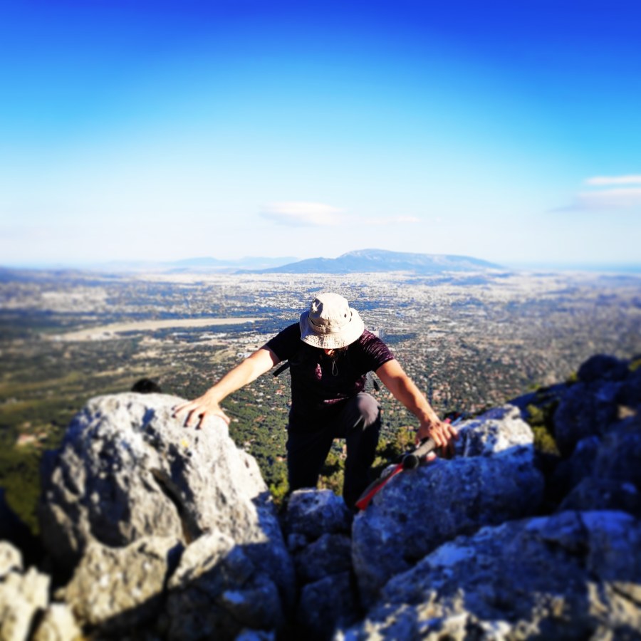
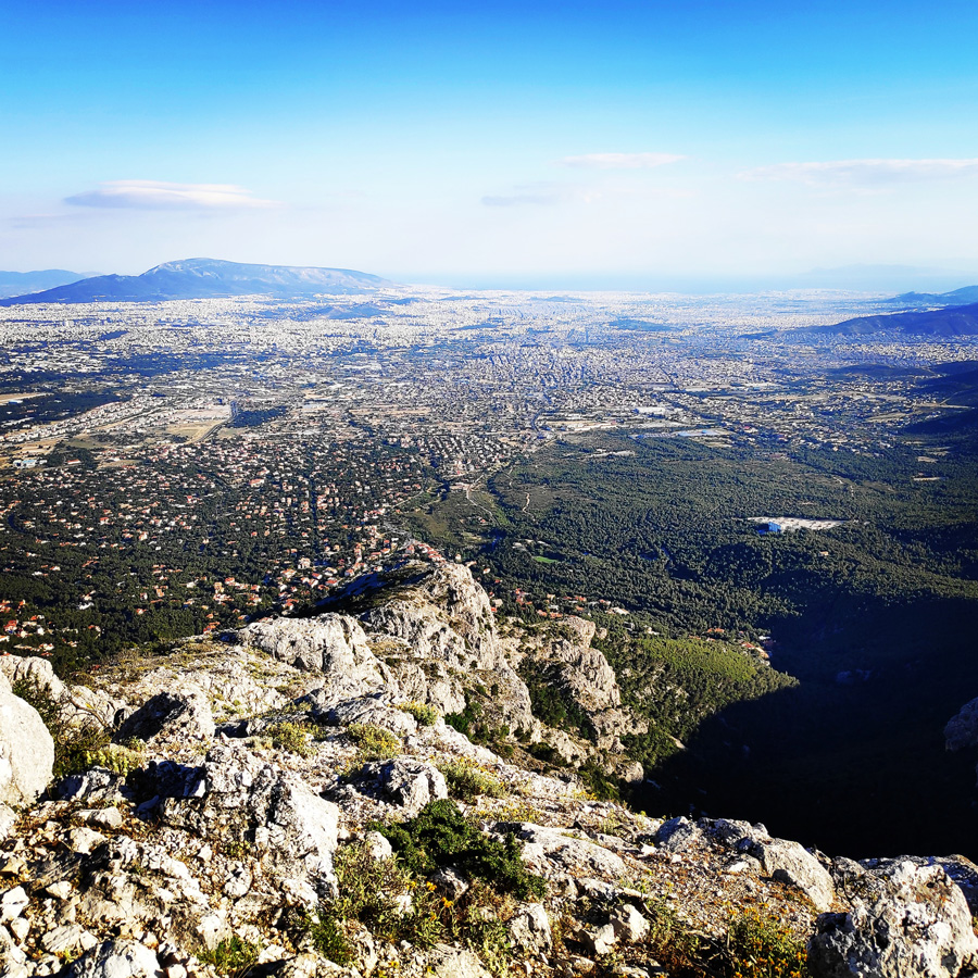
Our previous post was dedicated to the first outdoor activity post covid-19 lockdown and this post is dedicated to the second excursion in one of the most visited mountains of Greece, mount Parnitha.
For training purposes, the route we have selected was of mixed difficulty which offered hiking, scrambling and even IV UIAA climbing, the Flabouri Ridge route.
It has been quite some time since the last post here on Olympus Mountaineering, and the reason was the full blown lockdown that was imposed in Greece due to the Covid-19.
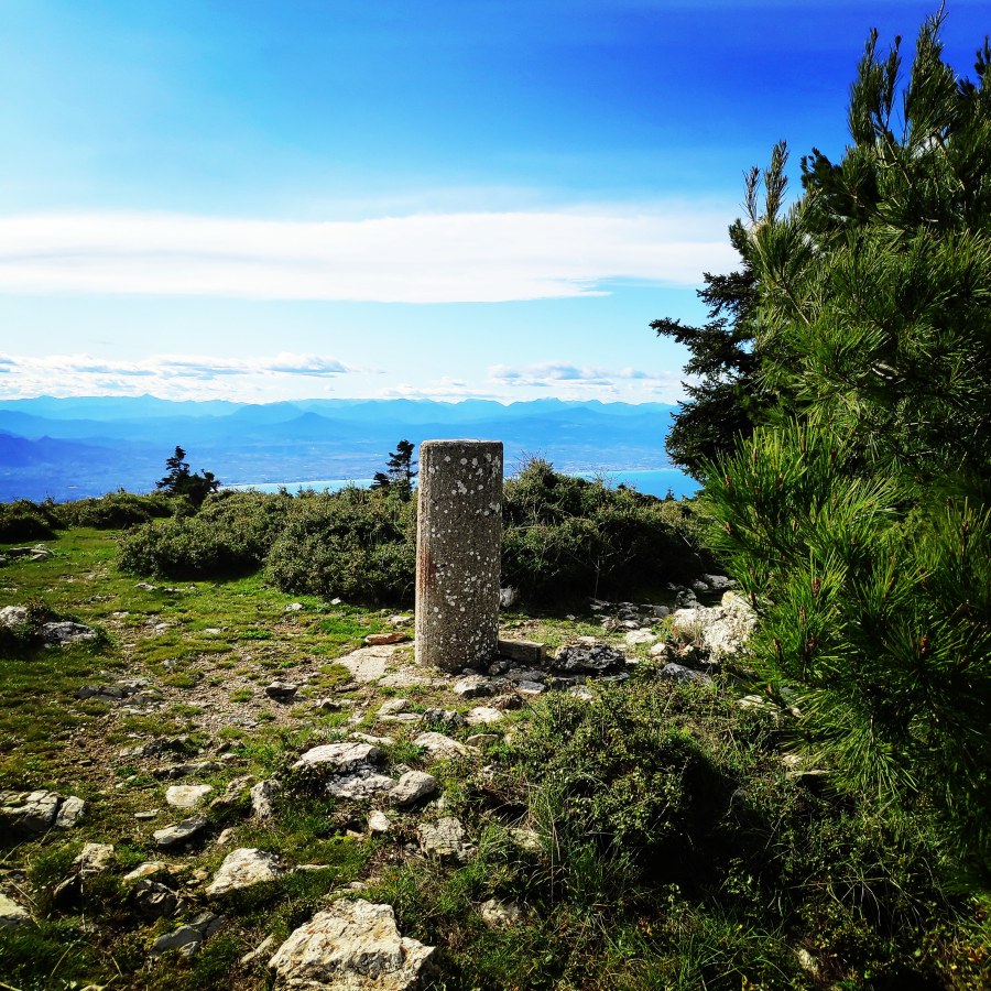
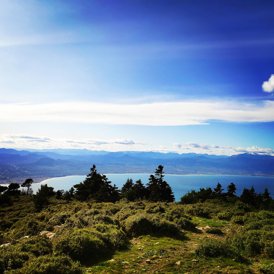
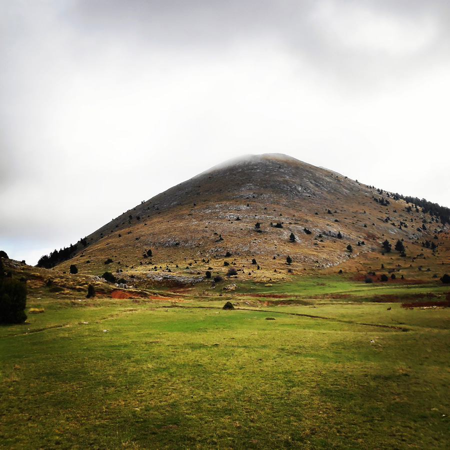
Many people that enjoy the outdoor activities were forced to stay indoors, basically in their homes for almost 2 months. Though, since few days, the severe lockdown measures have been partially lifted and therefore I did not loose the chance to go and enjoy the mountains once again. My first choice was Artemisio mountain, which offers stunning landscapes a nice trail to the peak and also some fun if one goes via the Arête of Artemisio.
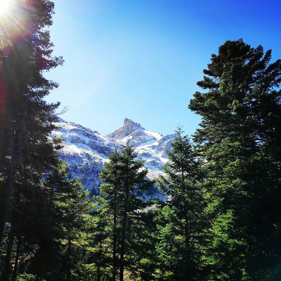
Artemisio mountain is on the border between Arcadia and Argolis, in the Municipalities of Argos-Mycenae and Tripolis respectively. It forms part of the mountain range that connects the Argolic Gulf with the Corinthian, and as such, it borders with Lyrkeio mountain on the north and with Ktenias mountain on the south. On its west is the plateau of Mantineia. Its tallest peak which is called Malevos is 1,771 metres in height.
Vardousia (Greek: Βαρδούσια) is a mountain in northwestern Phocis and southwestern Phthiotis, Greece. Its highest peak, Korakas (Greek: Κόρακας) reaches 2,495 m (8,186 ft) above sea level, making it the second-tallest summit in Central Greece after Giona. It is a southern extension of the Pindus mountains. It is divided into three main parts: Northern Vardousia, whose highest peak is Sinani at 2,059 metres (6,755 feet), the very steep Western Vardousia, whose highest peak is Soufles at 2,300 metres (7,500 feet), and Southern Vardousia, with the highest peak of Korakas. The whole range measures about 25 kilometres (16 miles) from north to south.
The Vardousia is drained by tributaries of the river Spercheios to the north, the Mornos to the east and south, and the Evinos to the west. The Panaitoliko mountains are to the west, Tymfristos to the northwest, Oeta to the east and Giona to the southeast.
Mount Geraneia is a mountain range in Corinthia and West Attica, Greece. Its highest point is the peak Makryplagi, elevation 1,351 m. It covers the northern part of the isthmus between the Gulf of Corinth and the Saronic Gulf. It spans 5–10 km from north to south and 30 km from east to west.
The geography of Geraneia includes forests in the south, the west and the northern part at an elevation of under 900 to 1,000 m. Barren land is in the central part. The grasslands and some bushes lies to the northwest. Farmlands and some barren land lies to the south.
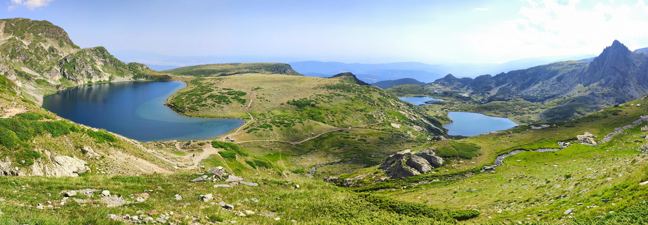
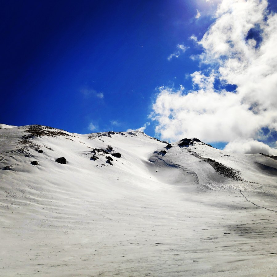
It is again this time of the year that winter is about to kick in and one of the best ways to explore and enjoy the outdoors is to go for a nice day-hike. Greece, is a very mountainous country and there are plenty of peaks of about 2.000 meters of altitude.
Although we have already been in Mount Parnonprevious times, we have decided to visit again this beautiful mountain, once again from a different route. We hiked a steep but beautiful trail which starts from Sitena (Sitaina) village, passes Russa Petra and via the South-to-North ridge we reached Megali Tourla (1.935 m.) which is the highest peak of mount Parnon.
Megali Tourla (1.935 m.) as seen from Profitis Elias Plateau
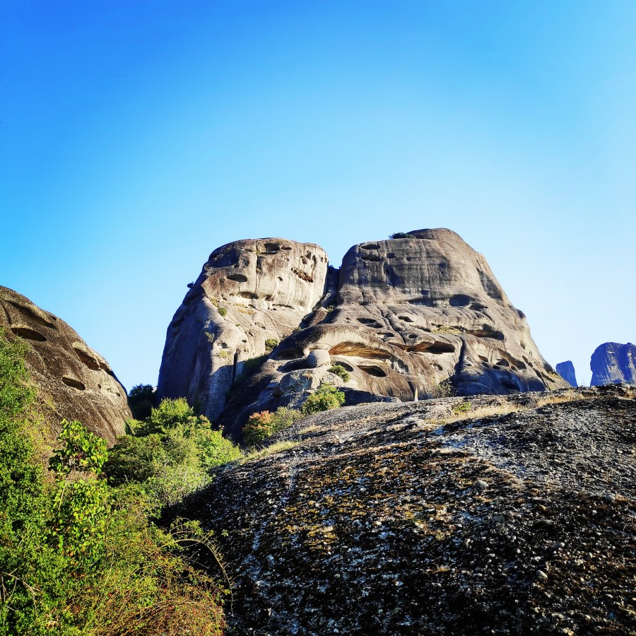
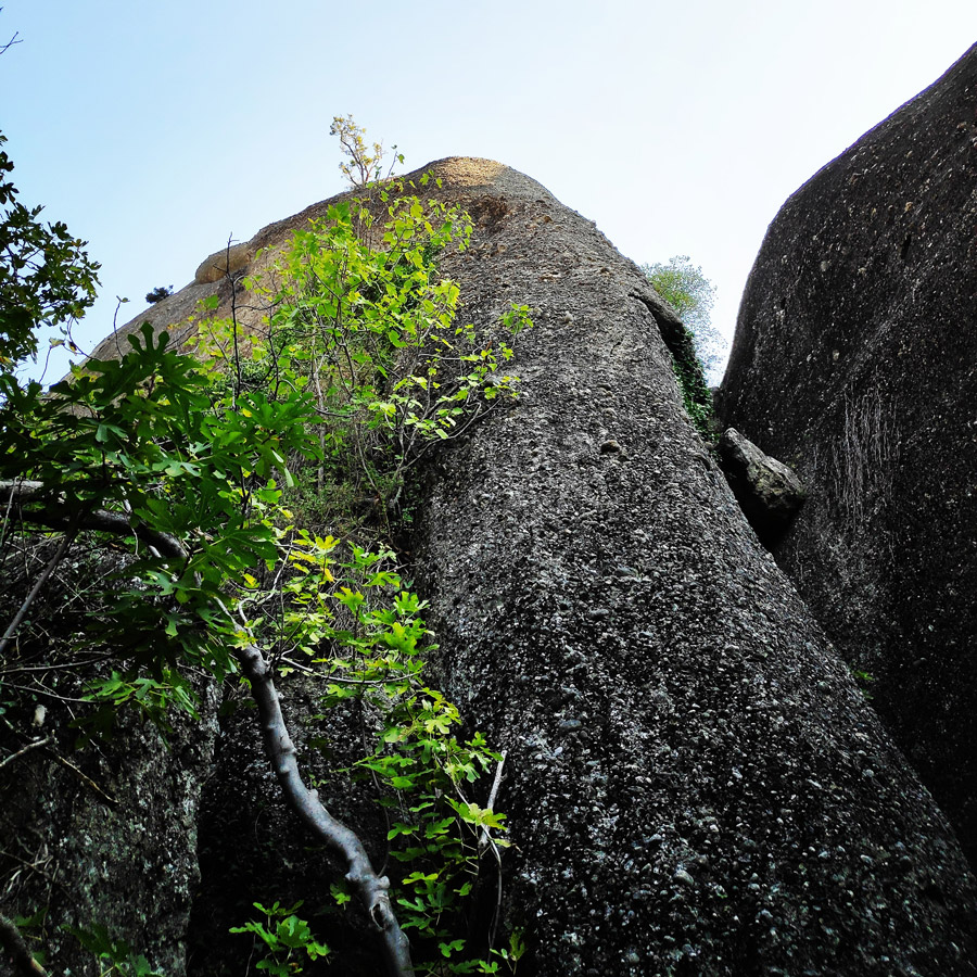
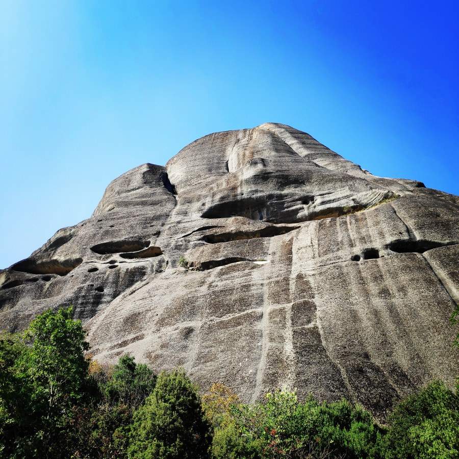
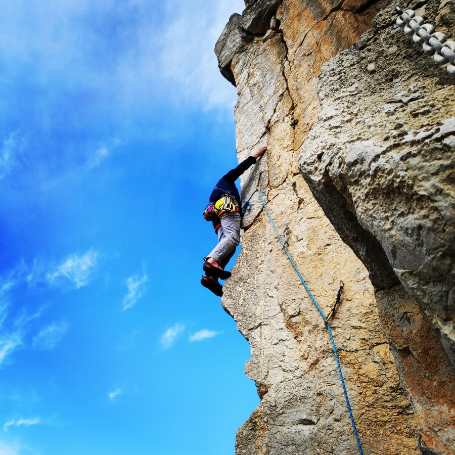
In the past couple of days we have climbed twi different routes in Doupiani and we thought it would be great to climb a third one. Our first experience with Doupiani was really positive, and due to the fact the second route was rather demanding, we decided to go for an easier third route, the Pillar of Rain.
Doupiani Rock is for sure one of the most attended rock climbing destination of the Meteora (Μετέωρα) area, whose meaning is literally “hanging in the air“, a charming and suggestive climbing site located in the Thessaly region of Greece.
Meteora includes about 170 conglomerate summits of various shapes and types, as massive mountains, rocky pinnacles, minor peaks and spires, some of which are truly amazing and bizarre. The range overlooks the village of Kastràki and the town of Kalabàka and features about 850 multi-pitch and single pitch routes. Due to their singularity and a bit of mistery surrounding the place, in addition to the presence of various monasteries, the towers of Meteora are quite famous all over the world.
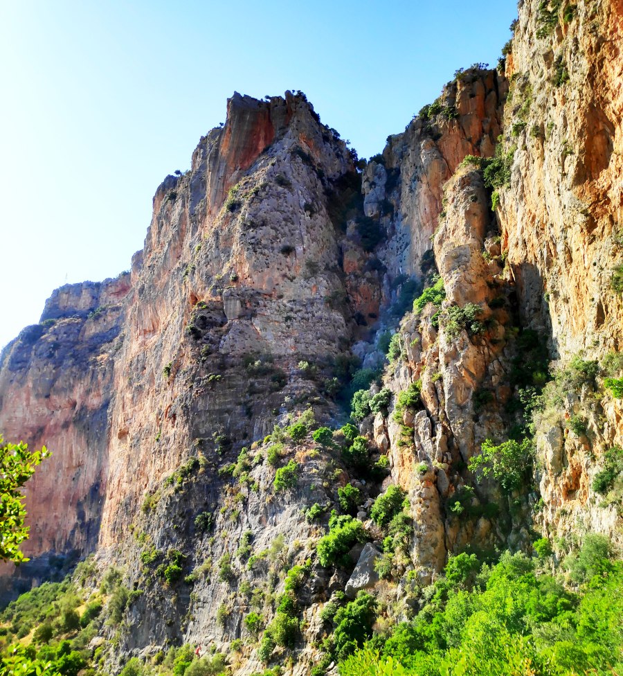
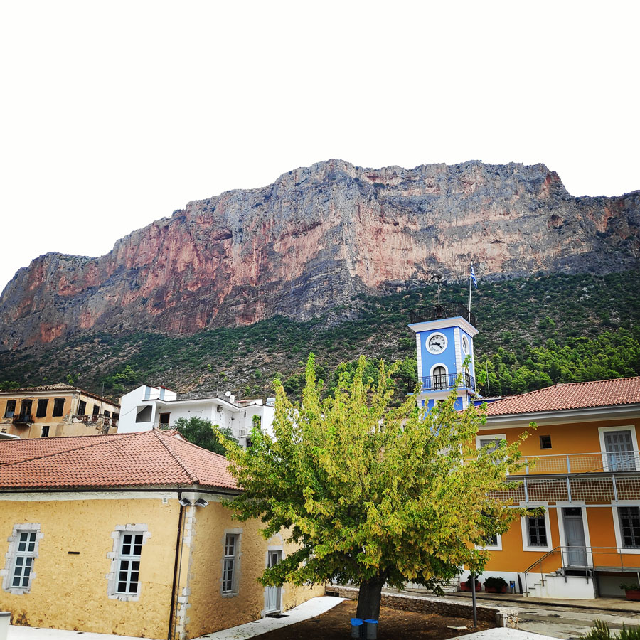
Leonidio (Greek: Λεωνίδιο) is a town and a former municipality in Arcadia, Peloponnese, Greece. Since the 2011 local government reform it is part of the municipality South Kynouria, of which it is a municipal unit. The town of Leonidio, with a population of 3.826, emerges from a spectacular landscape, bound by two abrupt mountainsides enclosing the town from the north and south.
The River Dafnon passes through the town, and its banks are linked with three bridges. The town is capital of the Tsakonia region, notable for its cultural and linguistic particularities, and the settlement itself offers striking and picturesque architecture; now a protected architectural site, there are very strict regulations for building within the town’s limits.
Argolis or the Argolid is one of the regional units of Greece. It is part of the region of Peloponnese, situated in the eastern part of the Peloponnese peninsula and part of the tripoint area of Argolis, Arcadia and Corinthia. Much of the territory of this region is situated in the Argolid Peninsula.
Most arable land lies in the central part of Argolis. Its primary agricultural resources are oranges and olives. Argolis has a coastline on the Saronic Gulf in the northeast and on the Argolic Gulf in the south and southeast. Notable mountains ranges are the Oligyrtos in the northwest, Lyrkeio and Ktenia in the west, and Arachnaio and Didymo in the east.
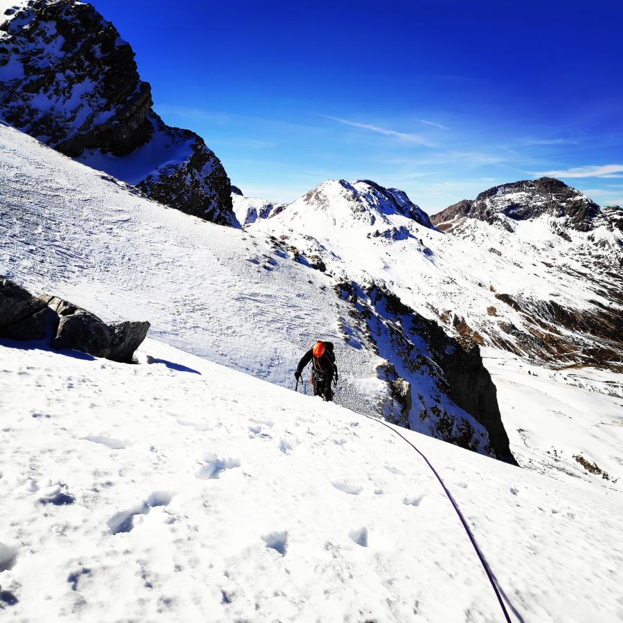
Mountaineering is the set of activities that involves ascending mountains. Mountaineering-related activities include traditional outdoor climbing, hiking, winter climbing, Skiing and traversing via ferratas.
As a mountaineer, besides training on the various fields of choice, it is very important to update regularly the skills and to learn new techniques. This is exactly what I have decided to do for the month of March. I will be following a “Mountain Leader” course that will provide all necessary set of skills in order to be a “Mountain Leader”.