Our exploration of Bulgaria’s wild beauty has been a journey of cascading wonders. After visiting Kamena Waterfall, Yavornitsa Waterfall, and the charming Klyuch Falls, our quest for the region’s most captivating natural treasures led us to yet another wonderful location, the Dabitsata Waterfall.
Located deep in the lush slopes of the Belasitsa Mountains, Dabitsata is a secluded, fairy-tale spot where emerald moss, cool mountain air, and the sound of rushing water create a serene escape. This was the fourth waterfall we explored in Bulgaria and it offered a completely different atmosphere, tranquil, intimate, and tucked away from the more popular hiking routes.
▶ Listen to this Post Now

How to Reach Skrat Village from Thessaloniki (Greece)
Skrat Village, the starting point for the Dabitsata Waterfall trail, is located in southwestern Bulgaria, just a short distance from the Greek border.
Driving directions from Thessaloniki (approx. 130 km / 2 hours):
- Take the A25/E79 motorway north towards the Promachonas Border Crossing.
- After entering Bulgaria, continue along E79 toward Kresna.
- Just before reaching Kresna, turn right towards Skrat Village following the local signs.
- The village center, with its information board and trail signs, is your starting point.
Parking is available near the main square, making it easy to prepare for your hike.
Hiking from Skrat Village To Dabitsata Waterfall
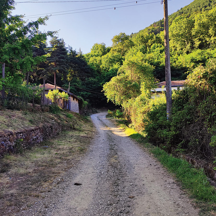
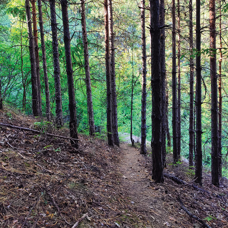
Leaving the quiet center of Skrat Village behind, the road gradually gave way to a rustic dirt path, the kind that immediately makes you slow your pace and breathe a little deeper. Morning light spilled over the slopes of the Belasitsa Mountains, casting long golden streaks between rooftops and walnut trees. The scent of damp earth and blooming summer vegetation hung in the air, a promise of the forest that lay ahead.
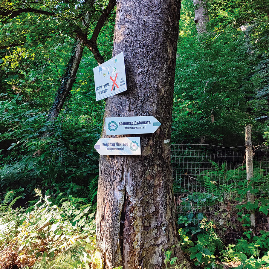
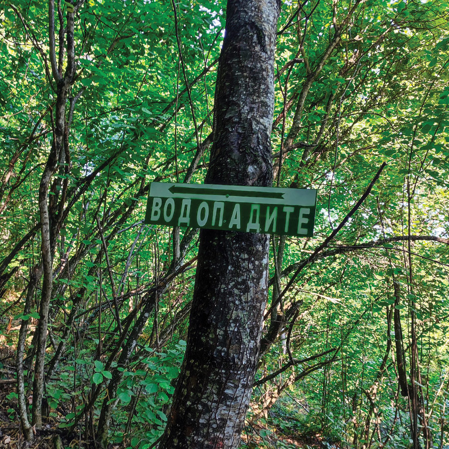
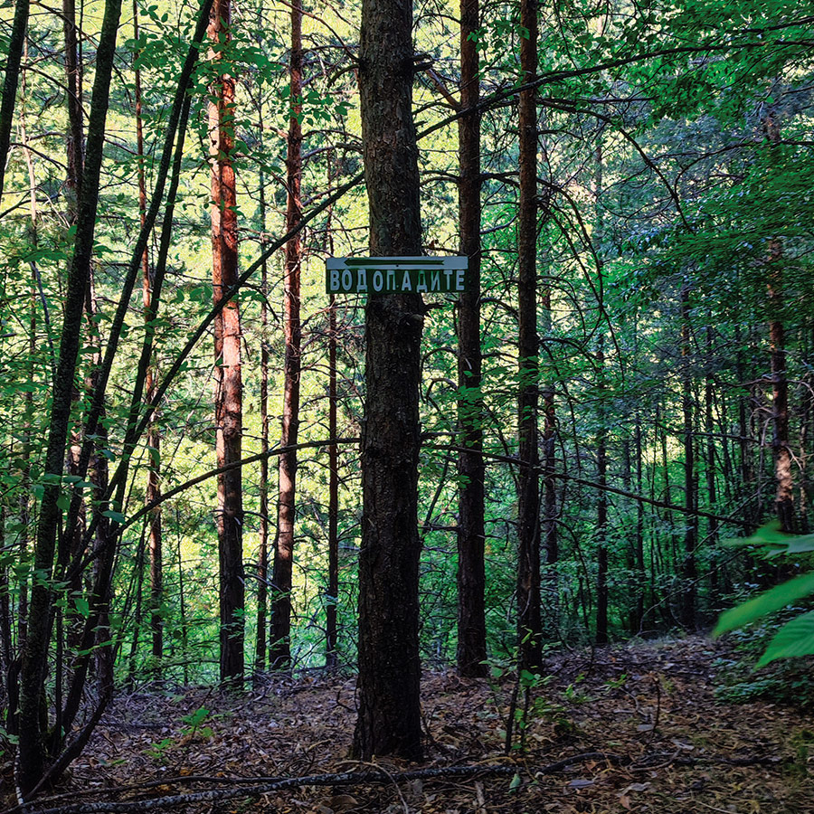
The first part of the walk winds past traditional houses, their gardens with fresh produce like peppers, tomatoes, courgettes etc., before the trail gently climbs into denser greenery. Soon, the hum of the village fades into the soft rustle of leaves and the occasional birdsong. The path, though narrow in places, is well-worn and easy to follow, with clear wooden signs in both Bulgarian and English pointing the way to Dabitsata.
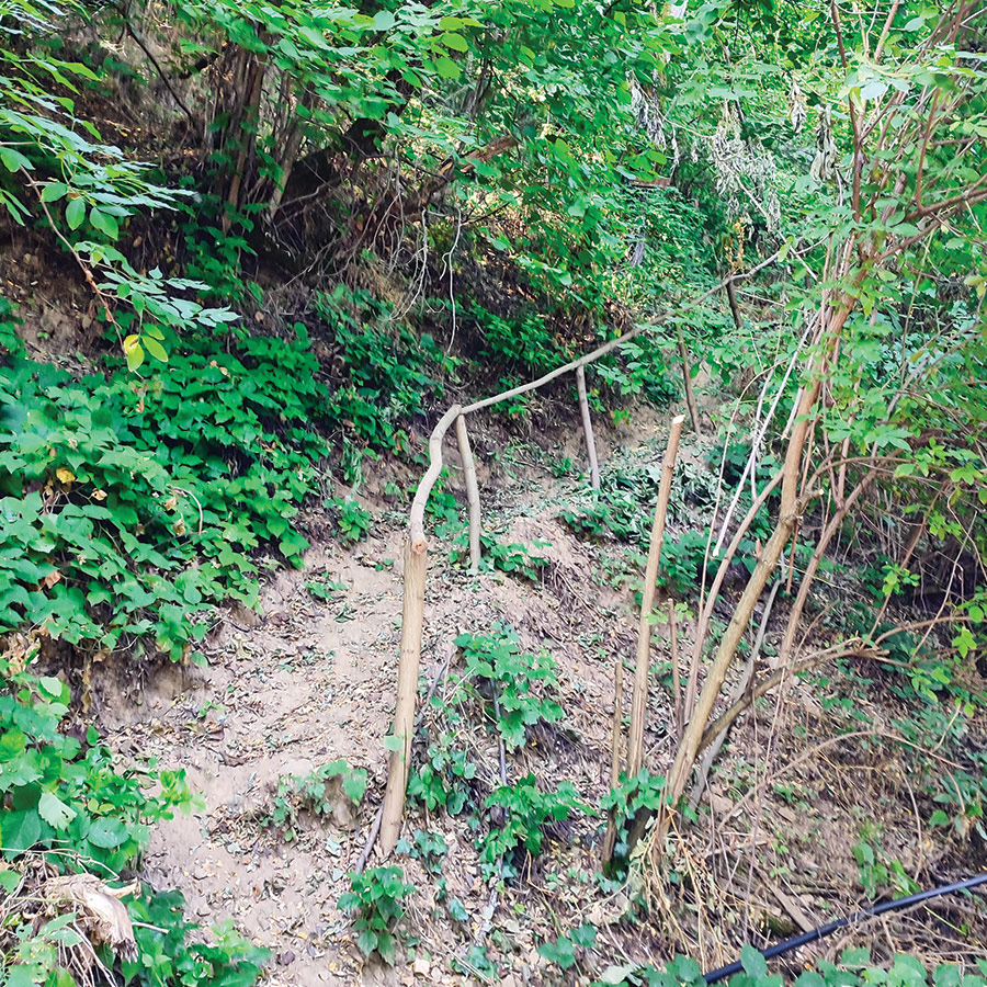
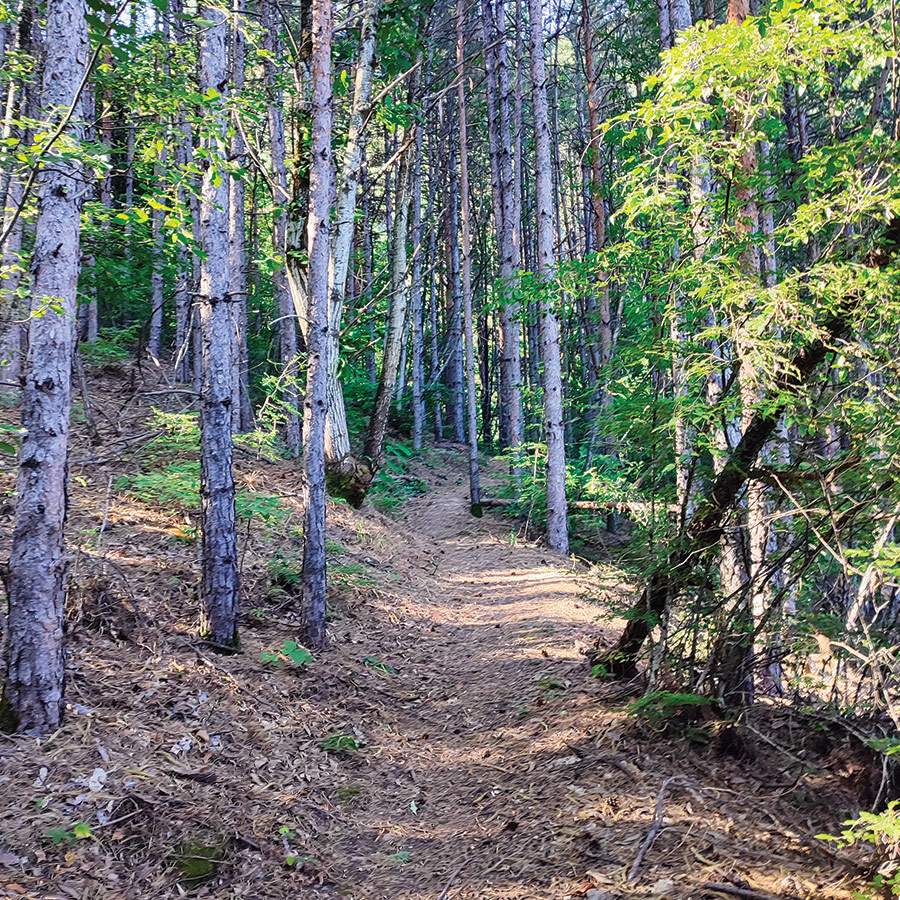
As we ventured deeper, the landscape shifted, open patches gave way to a shaded pine forest where the ground was carpeted in a soft layer of needles. A few steeper sections required a steady step, and in places, makeshift wooden railings offered a bit of extra balance. Here, the air cooled noticeably, carrying the faint, refreshing sound of running water somewhere ahead.
It’s not a long hike, but it’s one that feels unhurried, as if the forest wants you to notice every shade of green, every play of light through the branches. Step by step, the sound of the waterfall grew louder, until finally, through a break in the foliage, the silvery cascade of Dabitsata came into view tumbling gracefully down moss-covered rock into a quiet, shaded pool.


Support the journey — buy me a coffee
I share these articles and the climbing guidebooks because I love the outdoors, and they’ll always be free. If they’ve helped you, help me keep them coming. Click the button to support my work.

Explore all outdoor activities in a convenient list view here
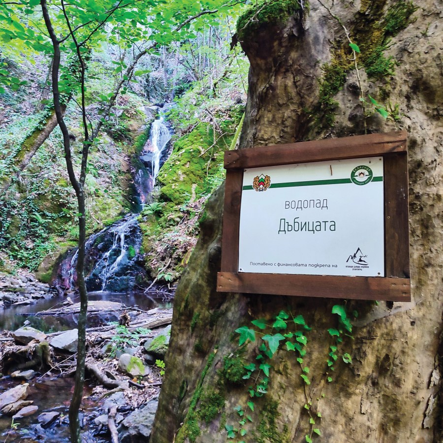
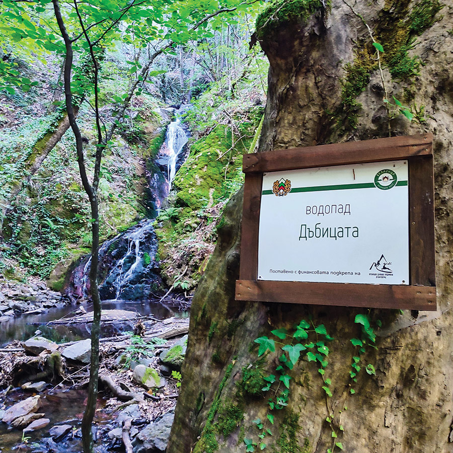
Arriving at Dabitsata Waterfall (Водопад Дъбицата)
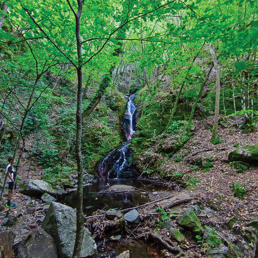
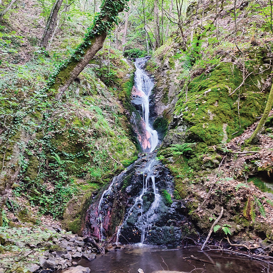
After roughly 50 minutes on the trail, the distant murmur of rushing water becomes a powerful soundtrack, guiding you toward your destination. The forest path narrows, then suddenly opens to reveal the stunning Dabitsata Waterfall — a graceful 15-meter cascade plunging down moss-covered rocks into a pool.
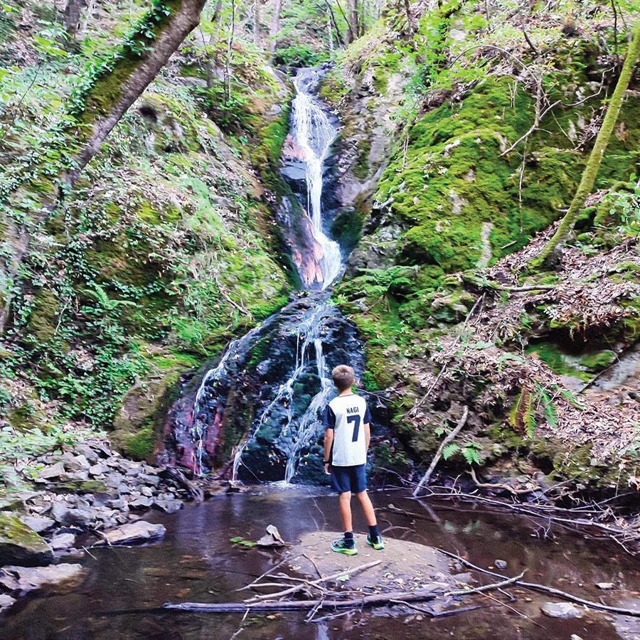
The scene feels almost magical. Steep cliffs wrapped in ivy, delicate ferns, and deep green moss create an enchanted forest atmosphere, while the cool mist from the falls refreshes weary hikers. A small flat area at the base offers the perfect place to pause, enjoy a snack, capture breathtaking photos, or simply immerse yourself in the tranquil beauty of the Belasitsa Mountains.
Discover More Outdoor Adventures in Bulgaria
- Relaxing and Wild Camping at Belasitsa Hut – Belasitsa Mountains – Bulgaria (family friendly)
- Hiking to Klyuch Falls – A Family Friendly Adventure in Bulgaria’s Belasitsa Mountains (Ключки водопади)
- Hiking in Yavornitsa Waterfall – Belasitsa Mountains – Bulgaria Яворнишки водопад (family friendly)
- Hiking in Kamena Waterfall – Belasitsa Mountains – Bulgaria Камешнишки водопад (family friendly)
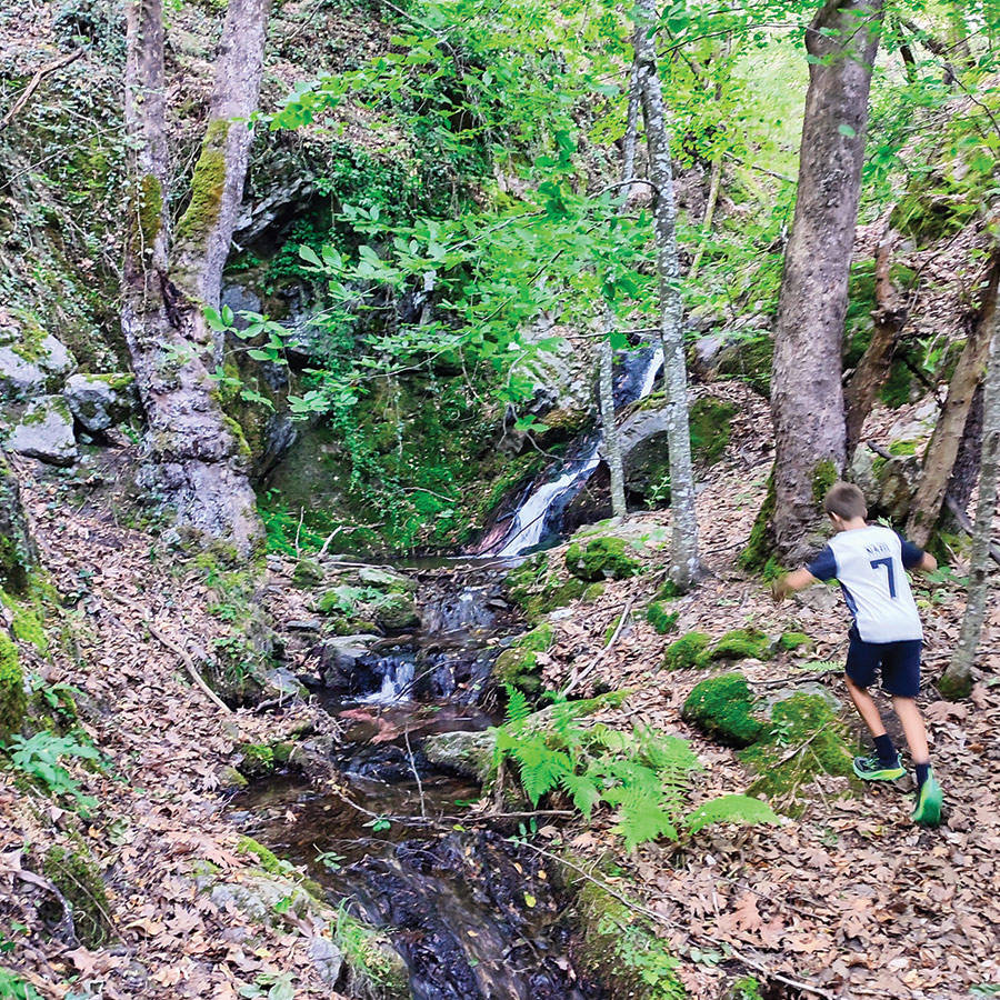
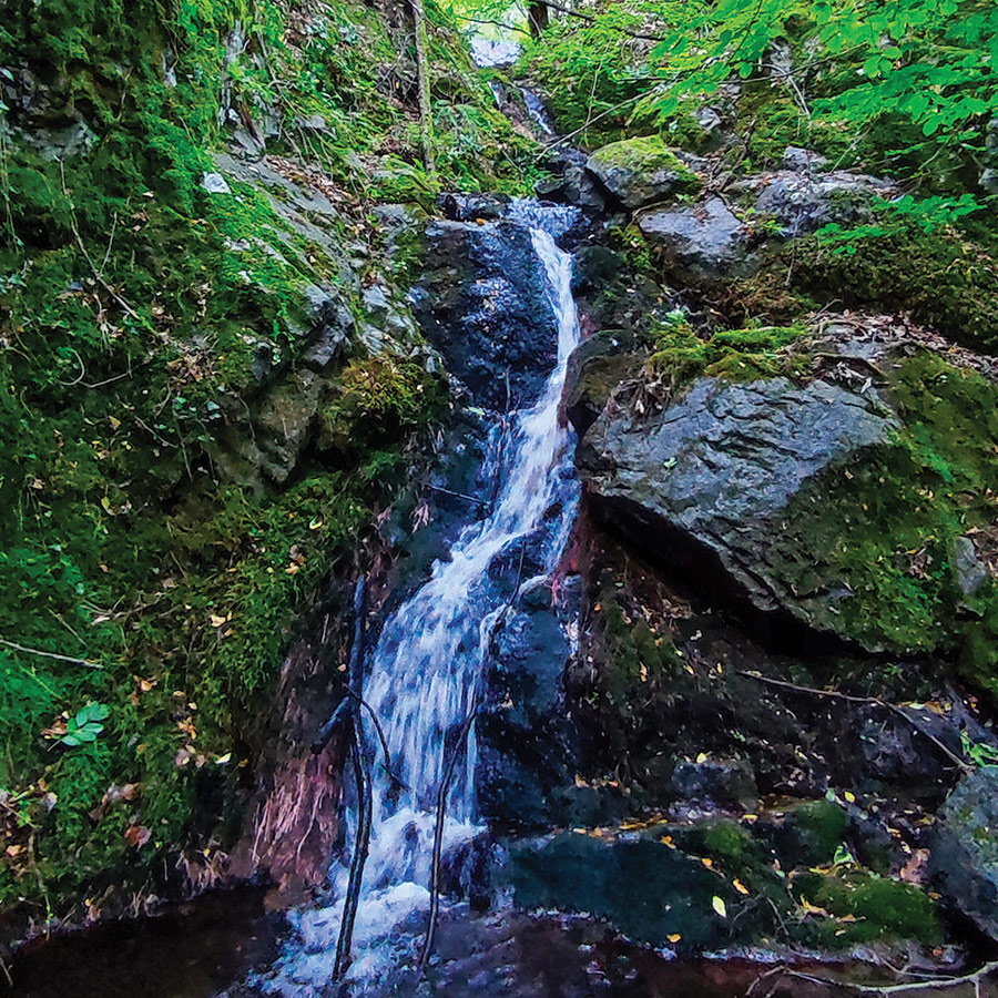
For those seeking a touch more adventure, a path to the left of the main falls allows you to scramble up to the upper tiers, revealing a second and even a third cascade. Be warned, this short climb is steep, with some exposed sections, so it’s recommended only for confident and experienced hikers.
When it’s time to head back, the return journey retraces your steps along the same scenic route, leading you once more through the charming landscapes back to Skrat Village.
Subscribe & Stay Informed
Enter your email address to follow this blog and receive notifications of new posts by email
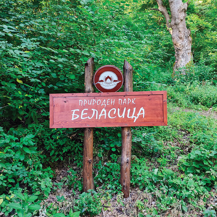
About Belasitsa Mountains
Kamena Waterfall lies within Belasitsa Nature Park, a pristine region covering 117 km² on the northern slopes of the Belasitsa Mountain range. The park borders North Macedonia to the west and Greece to the south, creating a unique crossroads of cultures and ecosystems.
Declared Bulgaria’s newest nature park in 2007, Belasitsa boasts around 1,500 plant species, including rare and protected ones like common chestnut, European holly, and Albanian lily. The region is also home to a rich variety of wildlife, from woodpeckers and warblers to small mammals and amphibians.
Hiking in Belasitsa offers a blend of biodiversity, well-preserved forests, and breathtaking mountain views. Beyond waterfalls, the park’s trails reveal chestnut groves, ancient beech forests, and panoramic viewpoints that stretch across three countries.
Details of the hike
- Location: Skrat (Belasitsa Mountains)
- Trail Signs: Yes
- Maximum Elevation: 664 m.
- Minimum Elevation: 458 m
- Total Distance: 4.3 km
- Hiking time: 1 hour 45 minutes
- Difficulty: Easy (family friendly)
- When to Hike: All year round
Support the journey — buy me a coffee
I share these articles and the climbing guidebooks because I love the outdoors, and they’ll always be free. If they’ve helped you, help me keep them coming. Click the button to support my work.
Before you leave this blog check out the following map
Below: This map marks all the mountaineering adventures that have been featured on Olympus Mountaineering so far, including several Sport climbing crags – Select full screen to expand, zoom in for more detail, or click on a marker for a link to the post.

Pingback: Wild Camping in Pirin Mountain – Banderitsa Camping, Bulgaria – Olympus Mountaineering
Pingback: Hiking the Banderishki Lakes: From Vihren Mountain Hut to Fish Banderishko and Frog Lake in Pirin Mountain, Bulgaria – Olympus Mountaineering
Pingback: Hiking to Baykusheva Mura – Discovering Pirin’s Ancient Pine Giant – Bulgaria (family friendly) – Olympus Mountaineering
Pingback: Hiking to Saint Nicholas Waterfall – A Family Friendly Adventure Near Bansko, Bulgaria – Olympus Mountaineering
Pingback: Hiking to Goritsa Waterfall (Ovcharchenski Vodopad) – Rila Mountain, Bulgaria (family friendly) – Olympus Mountaineering
Pingback: Hiking to the Seven Rila Lakes – A Complete Guide to Bulgaria’s Most Famous Alpine Hike – Olympus Mountaineering
Pingback: Hiking the Beli Iskar Eco-Trail – Rila Mountain, Bulgaria (family friendly) – Olympus Mountaineering
Pingback: From Waterfalls to Alpine Lakes: An Expedition Through Bulgaria’s Belasitsa, Pirin & Rila Mountains – Olympus Mountaineering