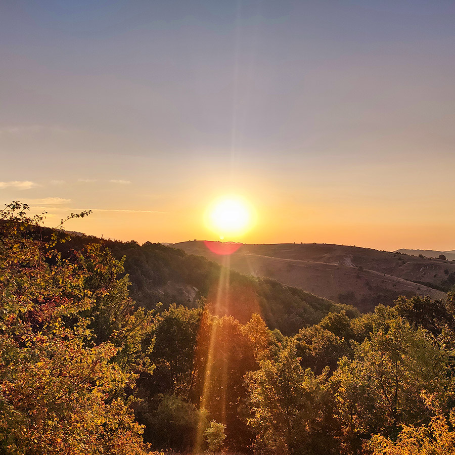
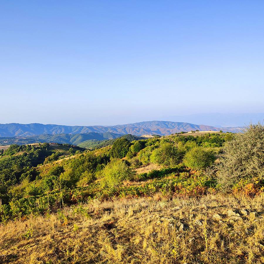
There’s a hidden treasure in the heart of Thessaly that has always intrigued me, but it remains largely overlooked by many hikers and nature lovers. The Antichasia mountain range may not be as famous as some of Greece’s other ranges, but its untouched beauty and peaceful landscapes are irresistible. In this place, nature still sets the pace of life, providing a perfect retreat from the noise and rush of everyday life. I’ve long wanted to explore these lesser-known mountains, and finally, I got the chance to do just that.
Situated between the iconic Meteora rocks near Kalampaka and the peaceful river valleys of Mourgkani and Titarisios, the Antichasia range stretches across a vast, pristine wilderness. Dense forests cover the hillsides, leading up to gentle peaks that offer stunning views of the countryside. Scattered with quaint villages that feel like they’ve been untouched by time, Antichasia is a great place for those looking for solitude and a deeper connection with nature. As I prepared to explore these mountains, I knew I was about to discover a side of Greece that few get to see—a place where history, culture, and natural beauty come together perfectly.
Getting to Mavreli: The Gateway to Antichasia
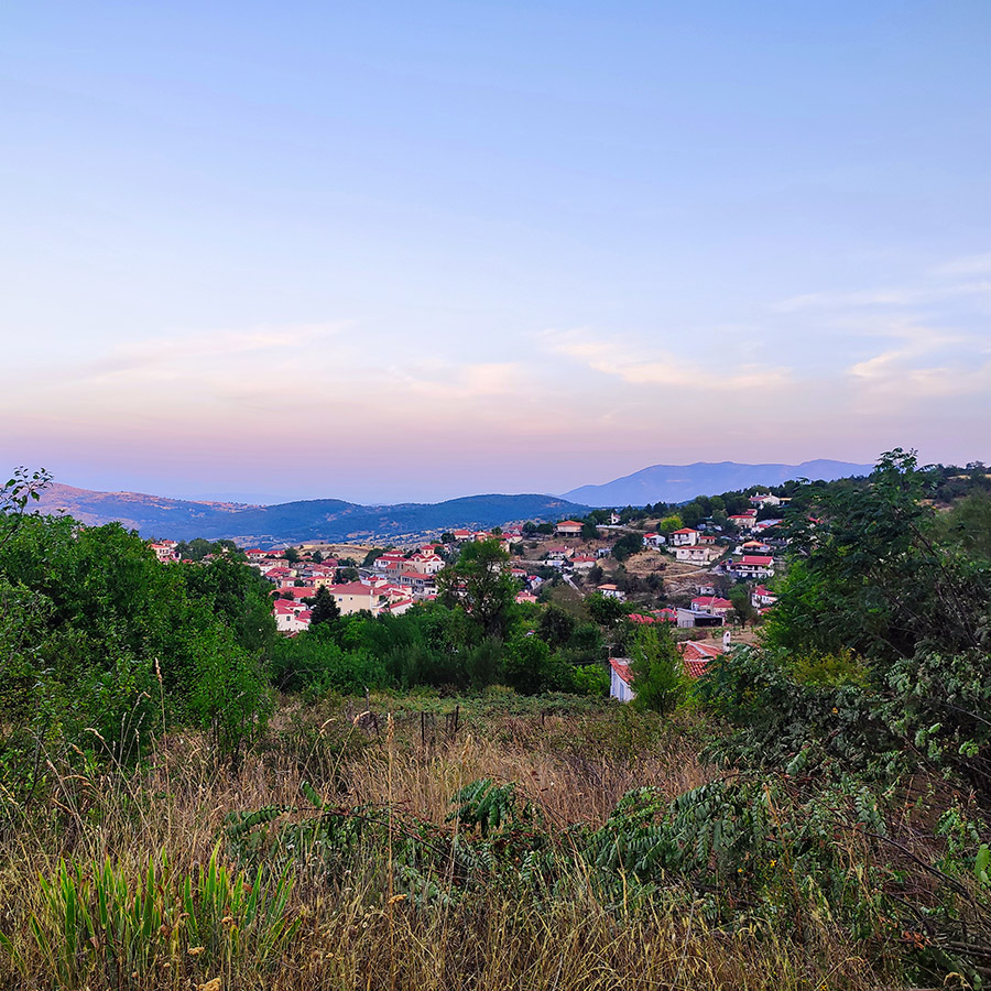
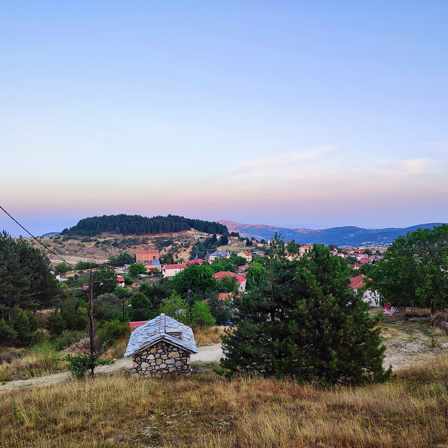
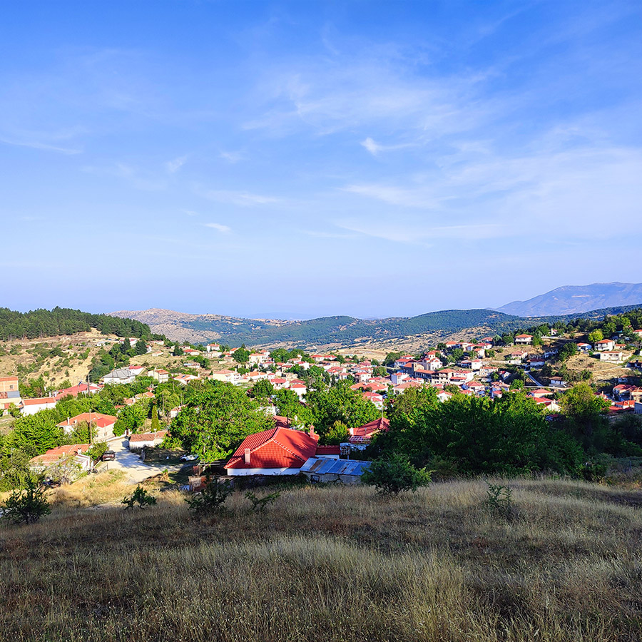
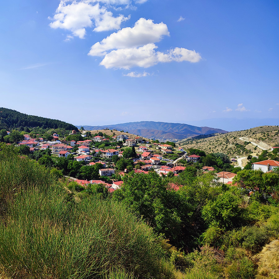
The journey begins in the small, yet charming village of Mavreli, located in the Trikala regional unit. Mavreli serves as an ideal starting point for hikers aiming to explore the eastern foothills of the Pindus mountains.
The village itself is a picture of traditional Greek rural life, with stone houses, narrow pathways, and the kind of quietude that immediately soothes the soul. Here, you can take a moment to breathe in the crisp mountain air, perhaps enjoy a cup of Greek coffee with the locals, and mentally prepare for the adventure ahead.
Section 1 : Hiking from Mavreli to the Evzonon Military Corps Station
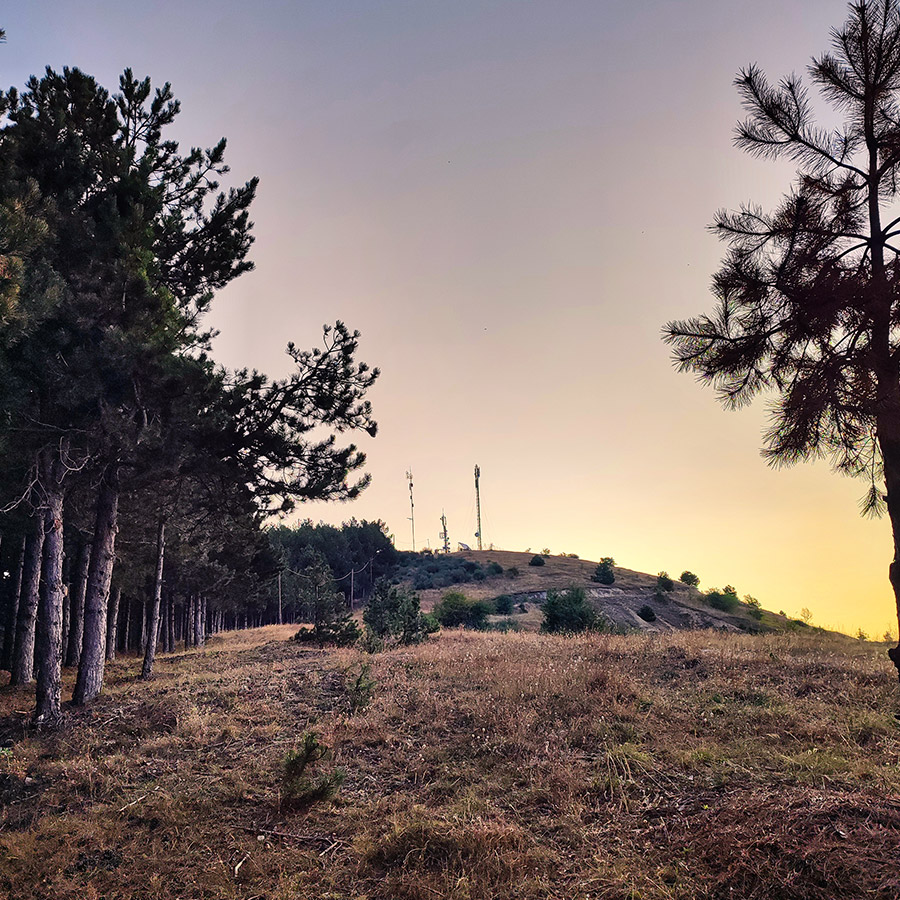
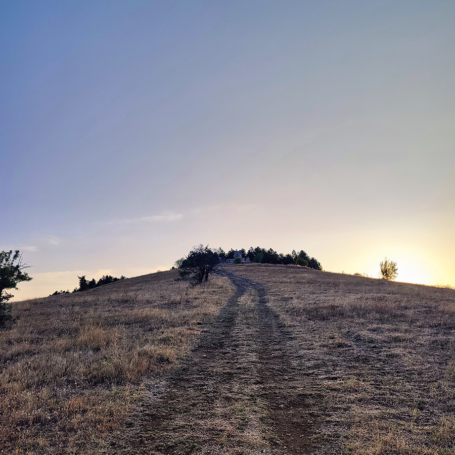
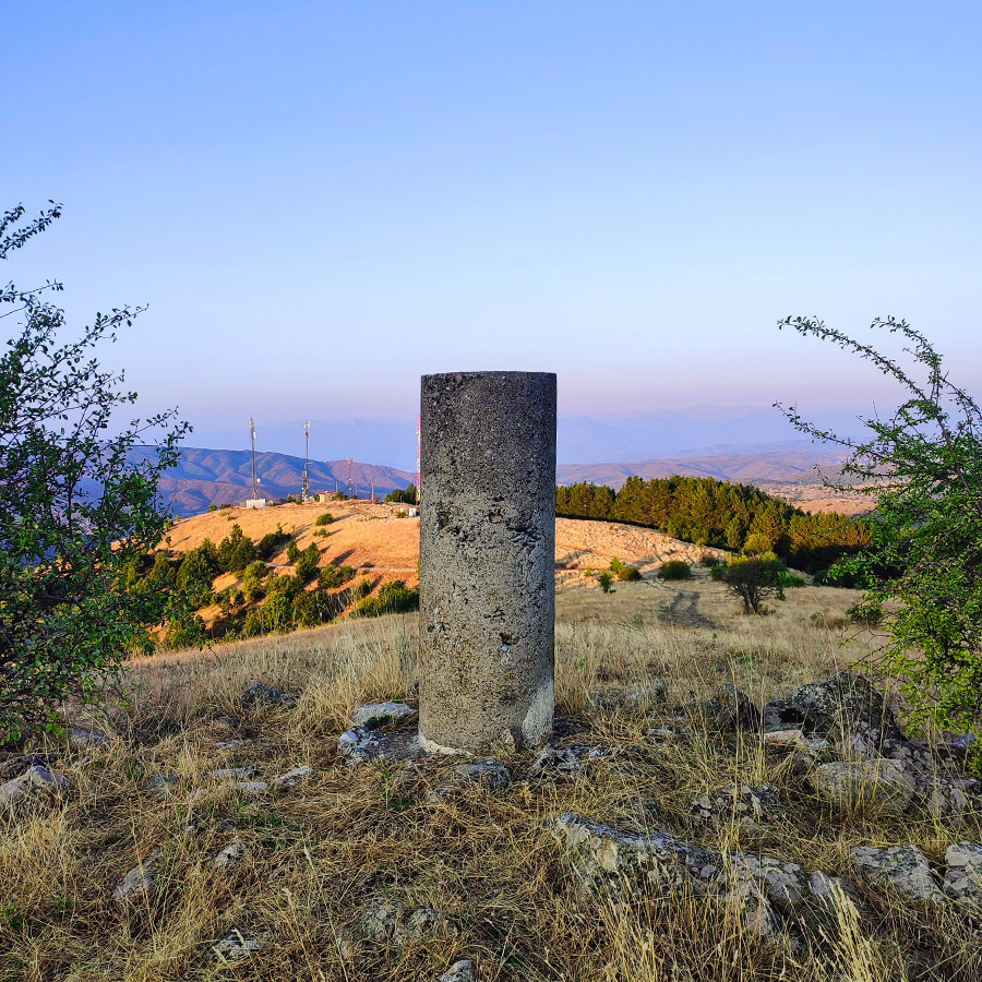
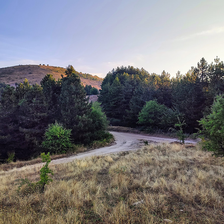
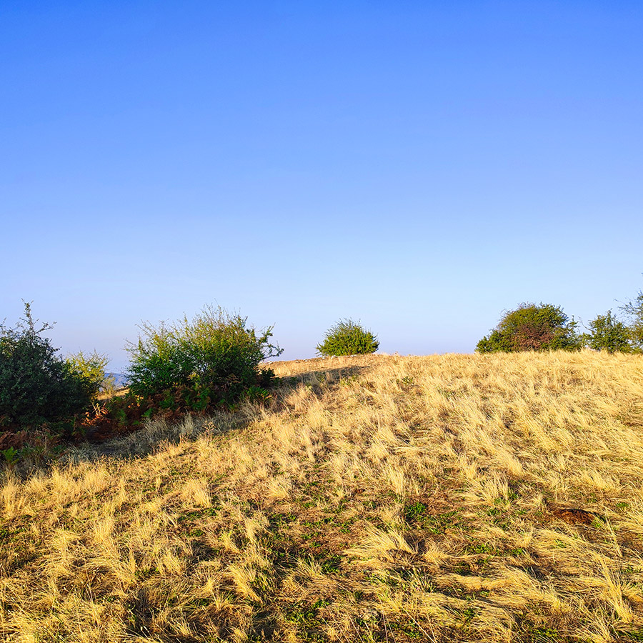
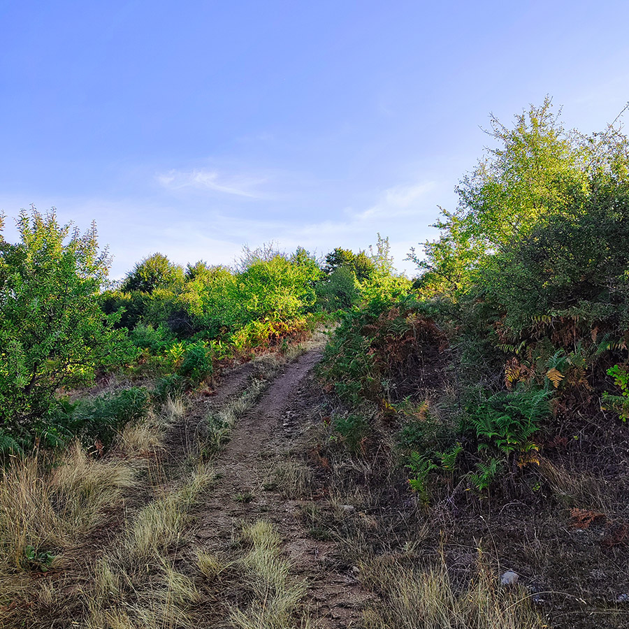
Our hike begins in the northeastern part of Mavreli, near a charming spring that marks the start of our ascent. We head up the hill above Mavreli towards the antennas, with the trail presenting a steady, slightly steep climb that remains accessible for most hikers. Once we reach the antennas, we push onward, keeping our eyes open for a less-traveled path that soon appears, leading us to the first peak of the day.
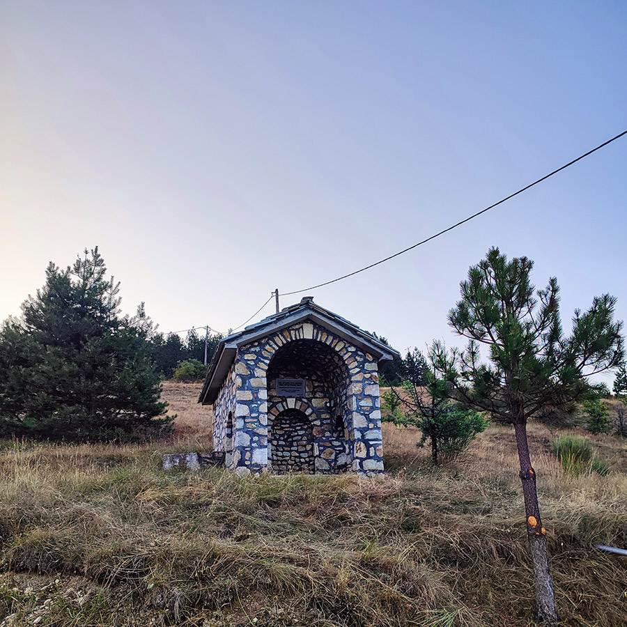
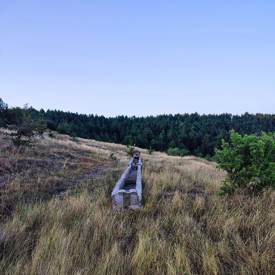
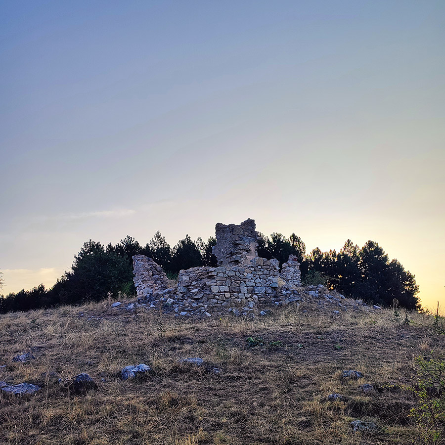
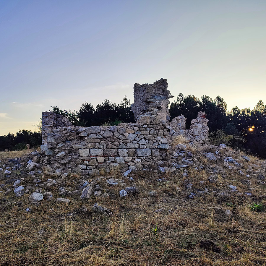
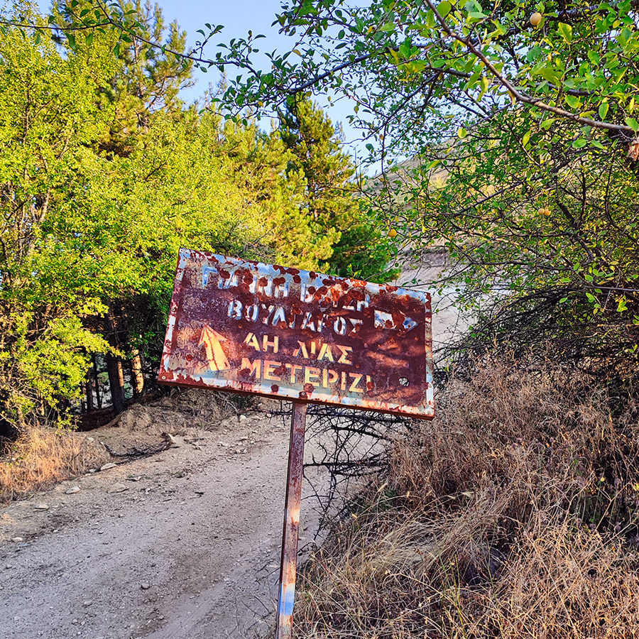
Along this trail, we stumble upon the intriguing ruins of an old stone-built structure, rich with history. These ruins are what’s left of the Evzonon Military Corps Station, established in 1881. This station was once commanded by the renowned Pavlos Melas, a significant figure in Greek history. Notably, Georgios Kondylis, who later rose to prominence, served here as a lieutenant during the Balkan wars. This historical connection adds a profound layer of meaning to our journey, blending the natural beauty of the Antichasia mountains with the echoes of Greece’s storied past.
Support the journey — buy me a coffee
I share these articles and the climbing guidebooks because I love the outdoors, and they’ll always be free. If they’ve helped you, help me keep them coming. Click the button to support my work.

Explore all outdoor activities in a convenient list view here
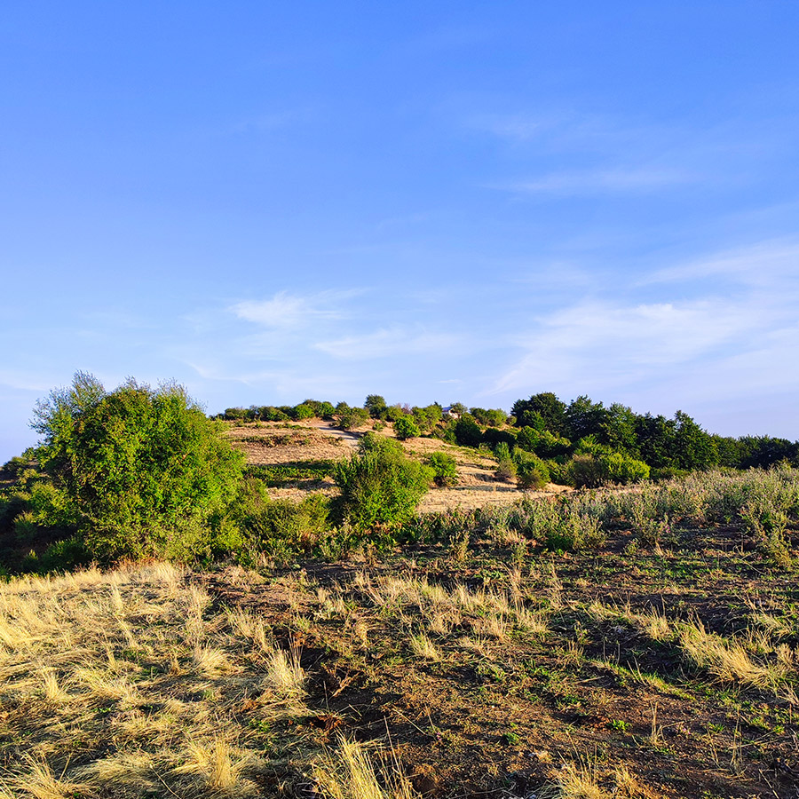
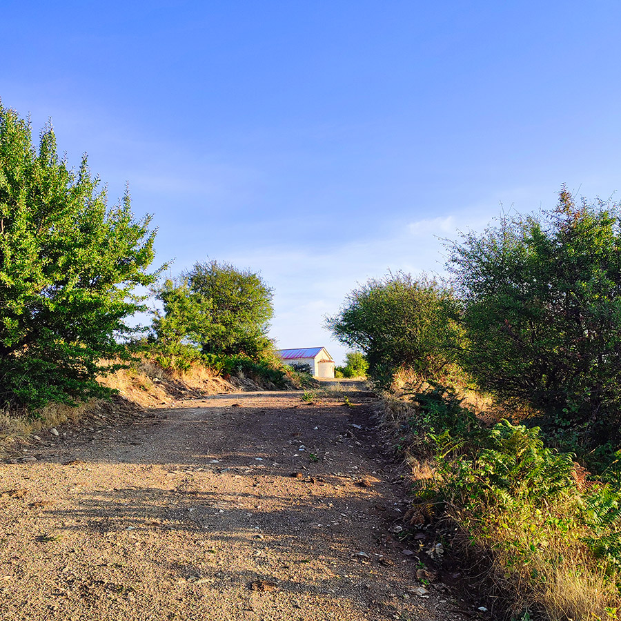
Section 2 : Hiking from Evzonon Military Corps Station toSaint Elias Chapel
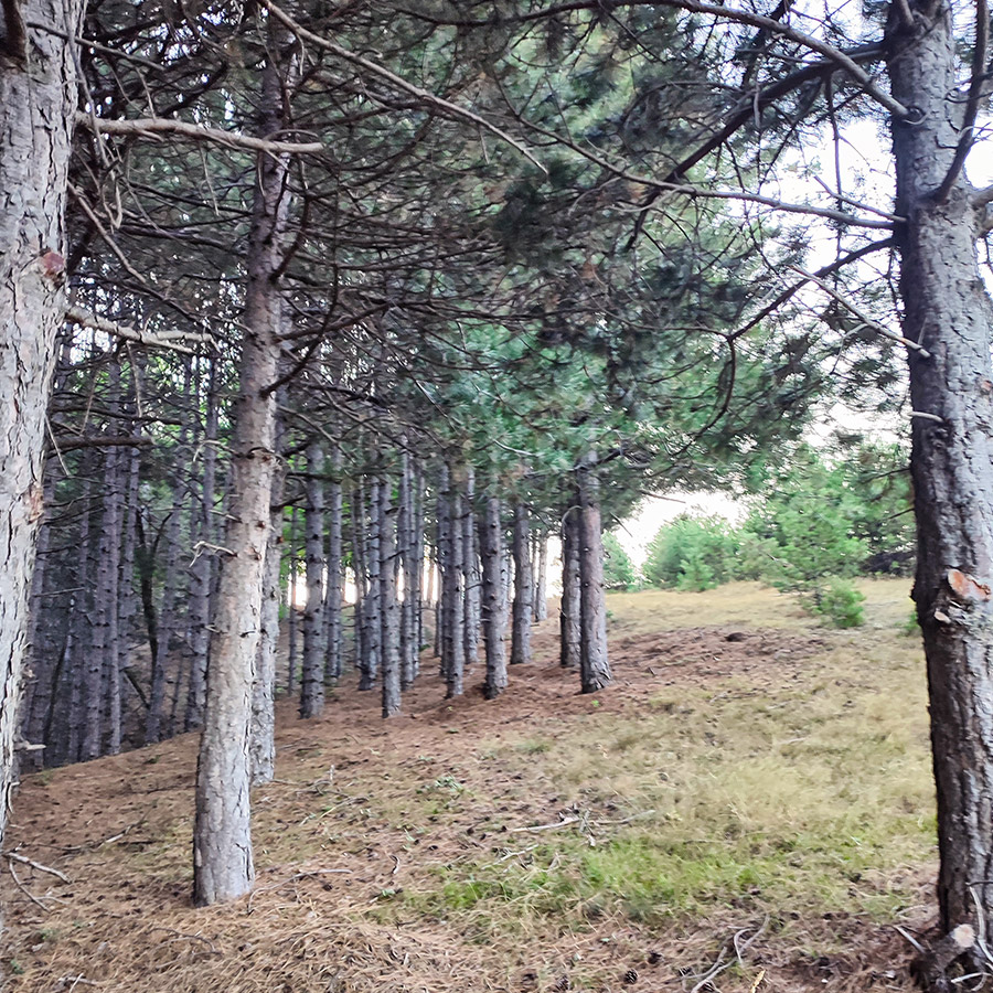
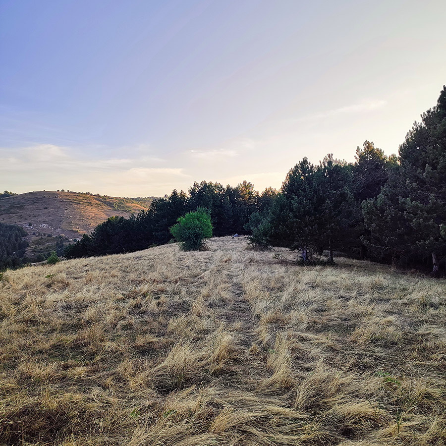
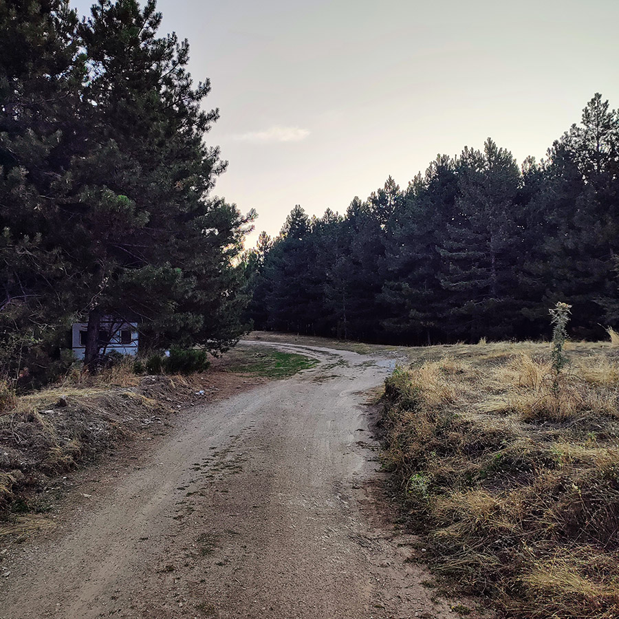
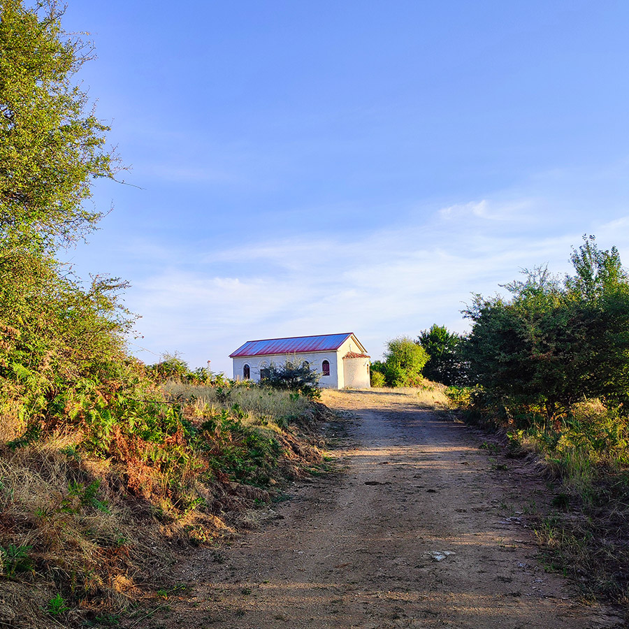
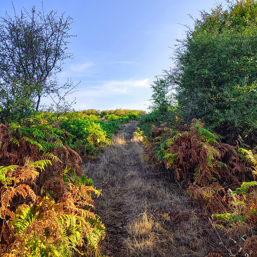
Leaving Mavreli behind, the trail to the Saint Elias Chapel, or Agios Ilias as it’s known locally, begins to unfold. The path is not marked and gradually ascends through the hills. As you walk, the sounds of the forest—a symphony of birdsong and rustling leaves—accompany you, making the journey all the more enchanting.
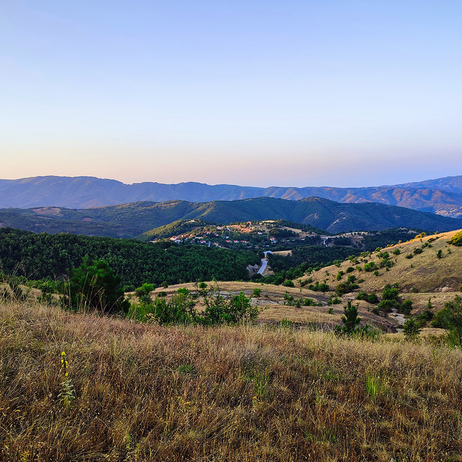
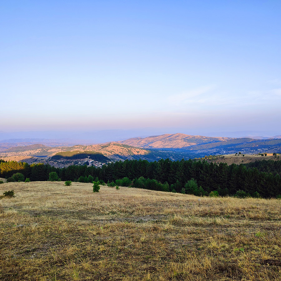
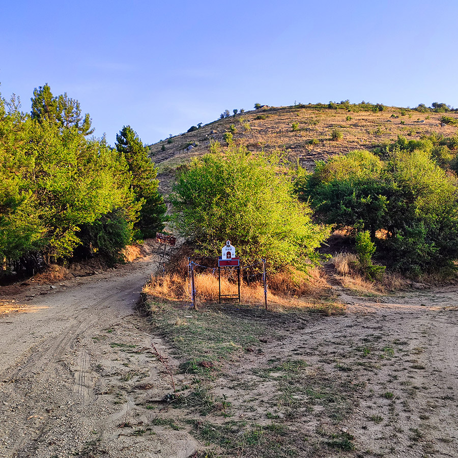
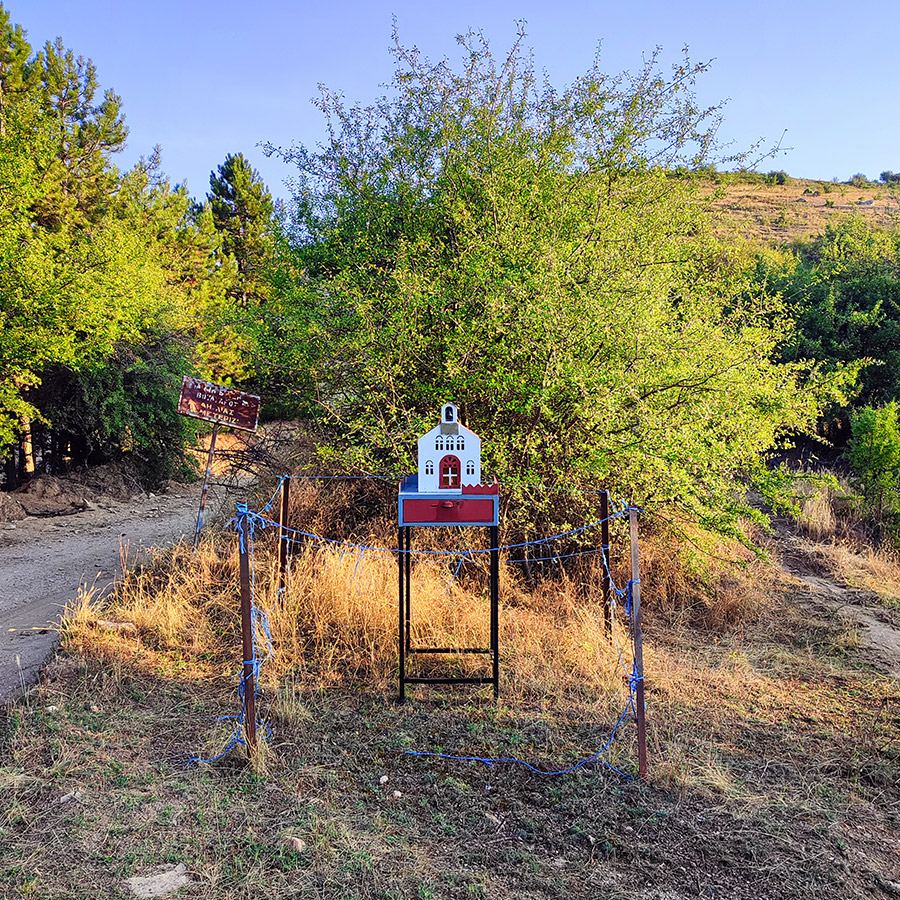
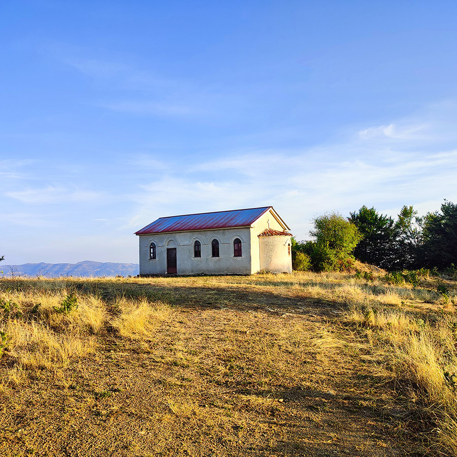
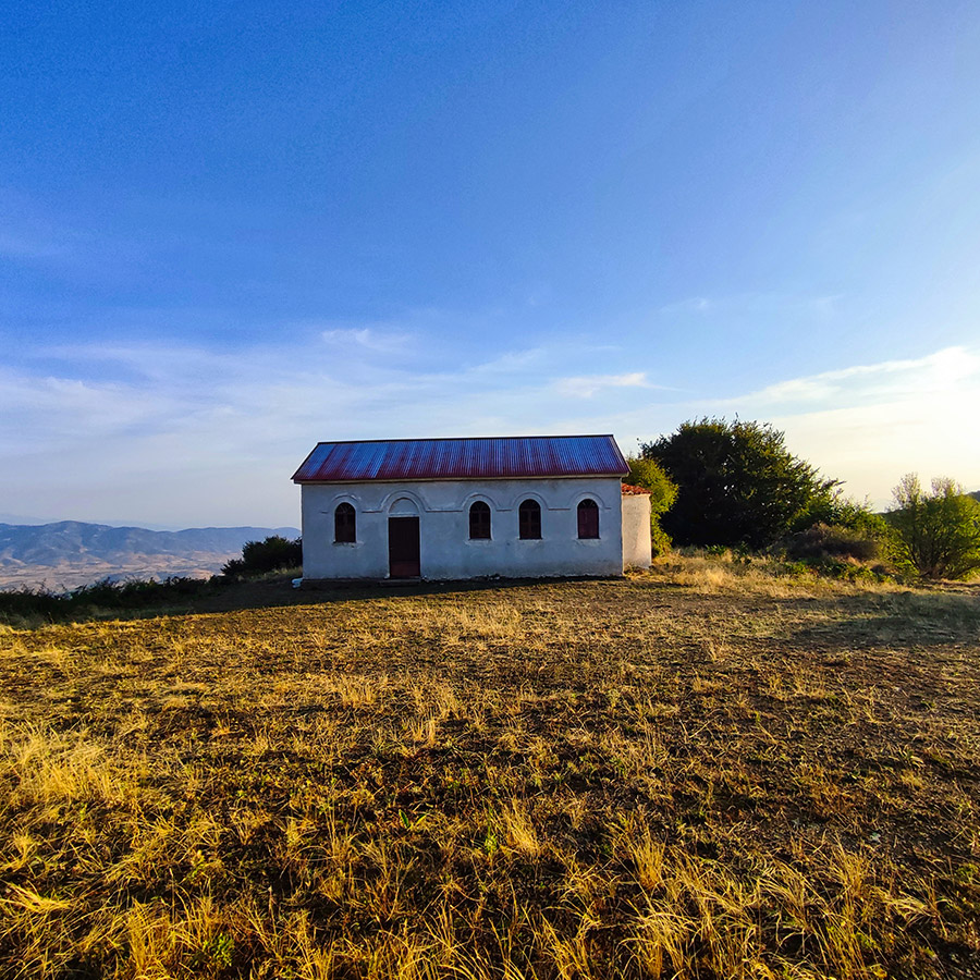
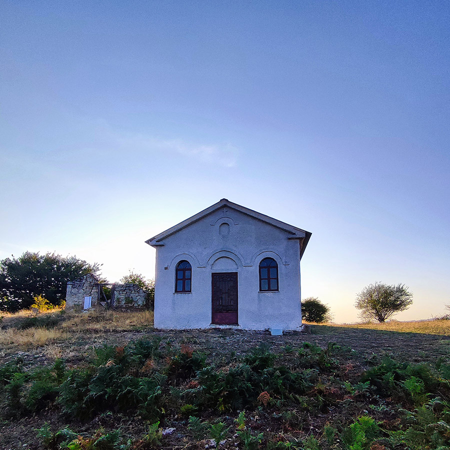
The Saint Elias Chapel, perched on a hill, is a modest yet significant landmark in the region. Built many years ago, the chapel stands as a beacon of faith for the local community and hikers alike. The panoramic views from the chapel are nothing short of spectacular, offering sweeping vistas of the Thessalian Plain to the south and the neighboring mountain ranges of Chasia and Kamvounia.
Subscribe & Stay Informed
Enter your email address to follow this blog and receive notifications of new posts by email
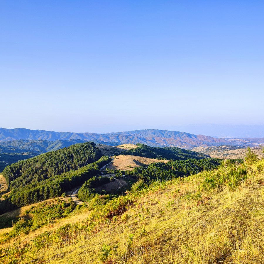
Section 3 : Hiking from Saint Elias Chapel to Meterizi Peak 1.381 m.
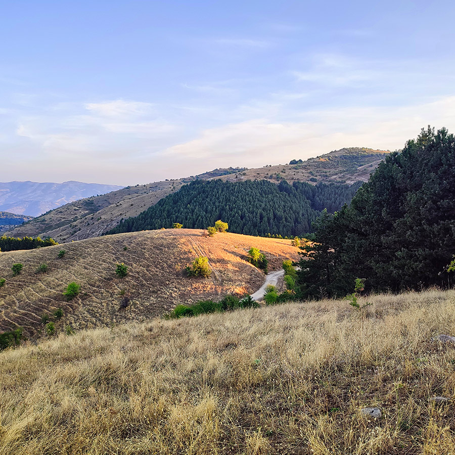
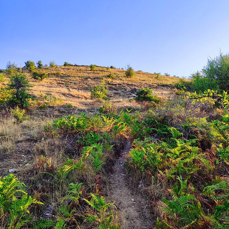
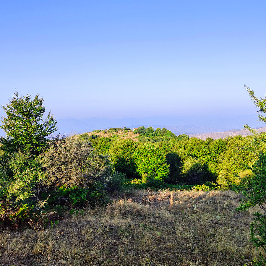
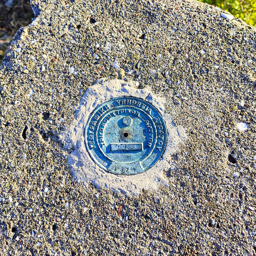
After leaving the chapel, we descend for about 500 meters and then the trail becomes steeper as you approach the final stretch toward Meterizi Peak. At 1.381 meters above sea level, Meterizi is one of the highest peaks in the Antichasia mountains, and reaching the summit is a rewarding experience for any hiker.
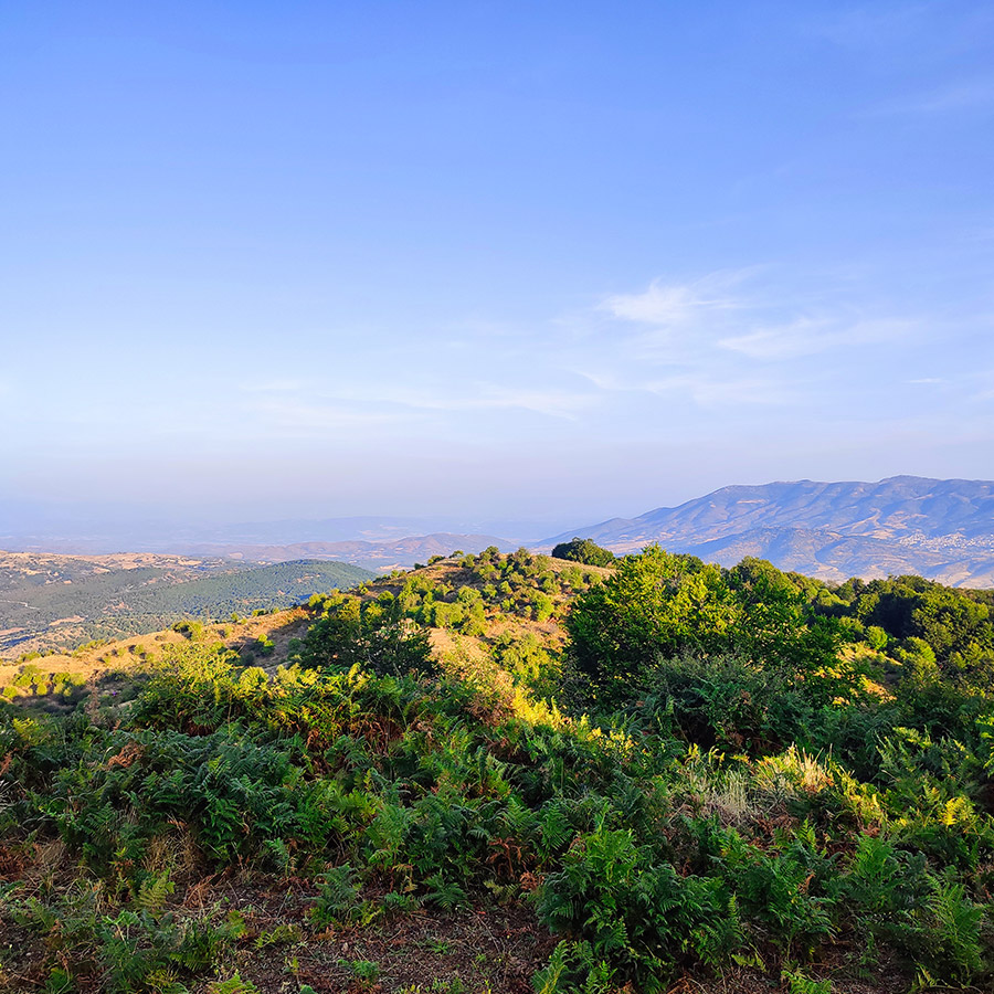
The trail winds through easy terrain, with the forest gradually giving way to alpine meadows. As you ascend, the air becomes crisper, and the views become even more expansive. On a clear day, you can see the majestic Meteora rocks to the southwest, a UNESCO World Heritage site famous for its monasteries perched atop towering rock formations.
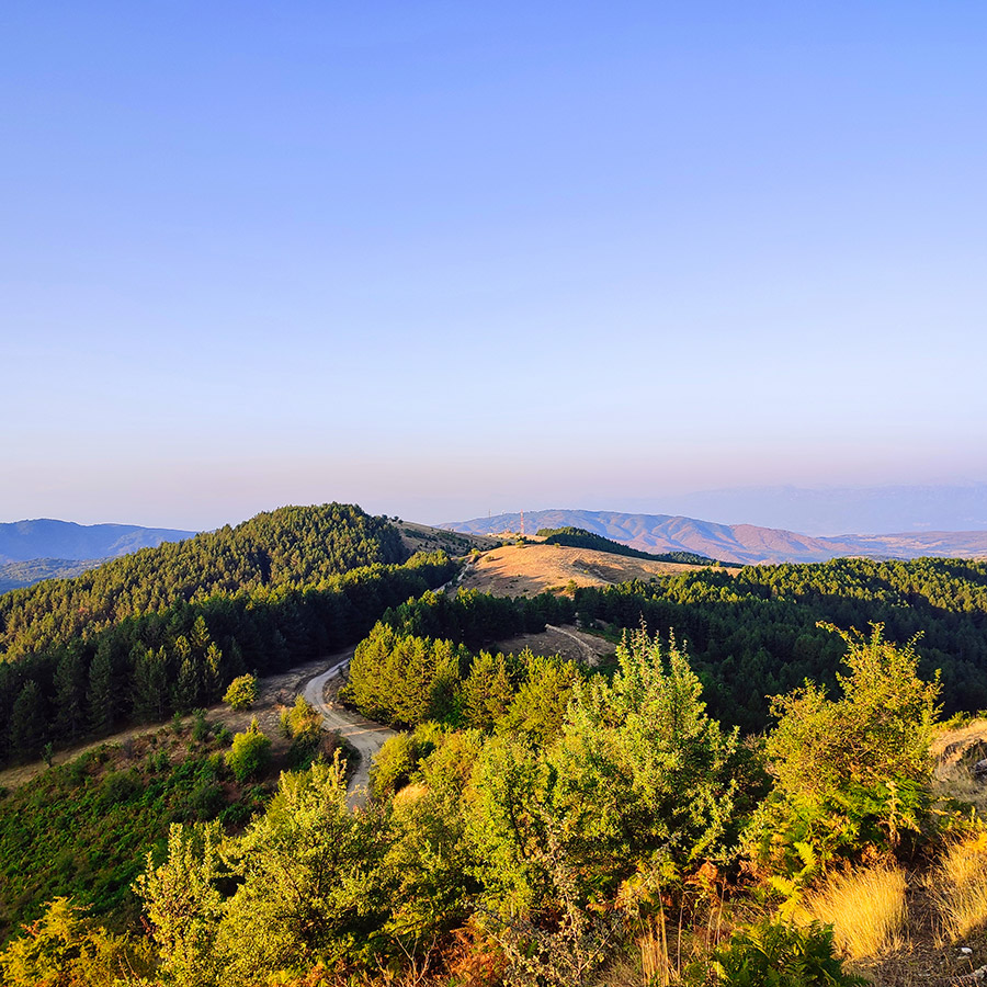
Reaching the summit of Meterizi Peak, you are greeted with a 360-degree panorama that is truly awe-inspiring. The endless expanse of the Thessalian Plain stretches out before you, while the peaks of the Pindus mountains rise in the distance to the west. To the east, the valleys carved by the Mourgkani and Titarisios rivers appear like veins of life coursing through the rugged landscape.

About Mavreli
Mavreli is a picturesque mountain village in Trikala prefecture, perched at an impressive altitude of 1,130 meters on the slopes of the Antichasia mountains. As one of the most elevated settlements in the region, Mavreli offers stunning views and a serene atmosphere, making it a great place for those seeking tranquility in nature. The village is part of the Municipality of Meteora, though it was historically under the jurisdiction of the Municipality of Tymfaia. Mavreli’s rich history is deeply intertwined with its surroundings, offering visitors a glimpse into the past while enjoying its breathtaking landscapes.
One of the most historically significant sites in Mavreli is the Evzonon Military Corps Station, a building that once marked the Evzonon Military Corps Station. This location played a crucial role in the region’s military history and stands as a testament to the village’s strategic importance. Another notable monument is the Church of the Dormition, built in 1640, which has been beautifully preserved over the centuries. This church is not only a place of worship but also a symbol of Mavreli’s enduring cultural heritage, attracting both history enthusiasts and spiritual seekers alike.
Details of the hike
- Location: Antichasia Mountain Range
- Trail Signs: No
- Maximum Elevation: 1.381 m.
- Minimum Elevation: 1.142 m
- Total Distance: 6.3 km
- Hiking time: 1 hour and 30 minutes
- Difficulty: Easy
- When to Hike: All year round
Support the journey — buy me a coffee
I share these articles and the climbing guidebooks because I love the outdoors, and they’ll always be free. If they’ve helped you, help me keep them coming. Click the button to support my work.
Before you leave this blog check out the following map
Below: This map marks all the mountaineering adventures that have been featured on Olympus Mountaineering so far, including several Sport climbing crags – Select full screen to expand, zoom in for more detail, or click on a marker for a link to the post.

Pingback: Hiking from Mavreli Village to Lake Mavreli – Antichasia Mountain Range – Olympus Mountaineering