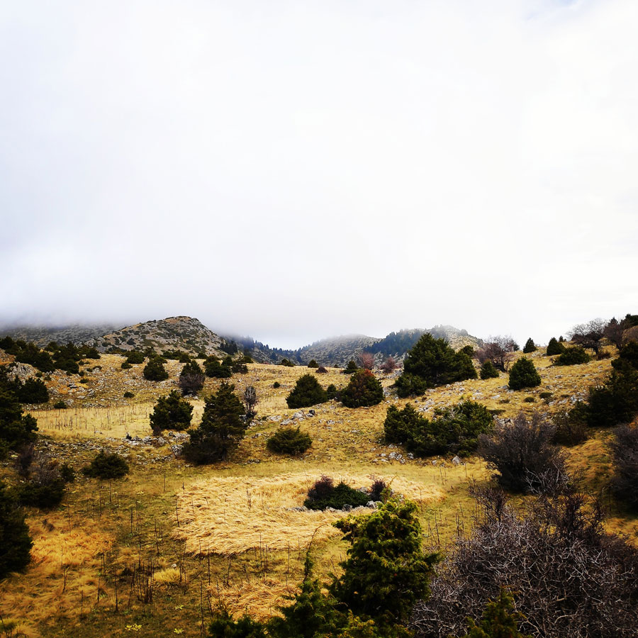
Autumn is a really nice season and full of surprises while adventuring in the outdoors. One day can be with beautiful sunny conditions, the day after the scenery can change dramatically and become full of mist and fog. This is what actually happened on our last visit on Mainalo mountain.
The climate of the area is quite unique given the elevation. The range feels more like the PWN than the alps, this is due to the high forestation and large amounts of precipitation in the area. The range is very humid and rather cold boasting some of the coldest fronts in Greece, easily falling under -10C during storms. The area has stable weather and gets storms for multiple days although harsh weather is a staple of the area, quick changes of weather during storms (i.e. from rain to no rain, from cloudy to snowy) is another problem.
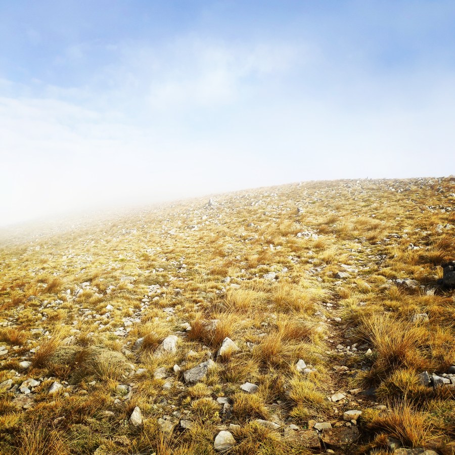
Just one day before, the sun was shinning and we enjoyed really the hike from the EOS Tripolis refuge to Tzelati peak. Though, the day after, just as I woke up, the only thing I could see outside of my Sierra Designs Lightning 2 tent, was heavy fog. In fact, it was still rather early, about 5.45 in the morning and I have decided to stay within my Cumulus Panyam 600, for another 15 minutes. The warmth captured within the sleeping bag was very cozy and the external conditions not ideal for a day of hike.
See previous activities on Mount Mainalo here:
While I was enjoying the snaggy feeling of my sleeping bag, I was thinking about the traverse I would like to do and of course I had to keep in mind that I would be hiking solo in such unpleasant conditions. Nevertheless, I have decided to follow the trail from EOS Tripolis refuge towards Ostrakina peak (1.981 m) and from there to do the long traverse towards Mavri Korifi (Black Peak) 1.818 meters.
EOS Tripolis Refuge – Ostrakina Peak
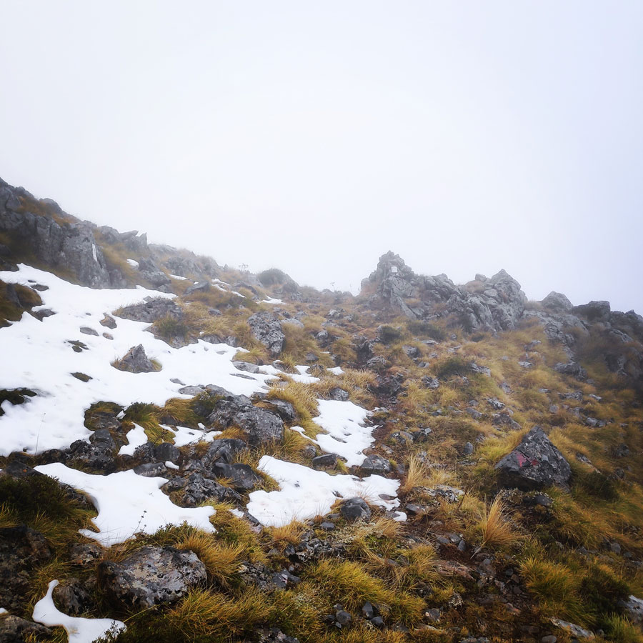
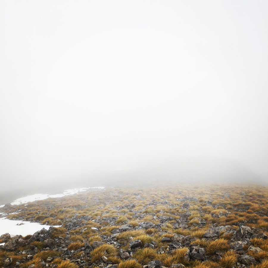
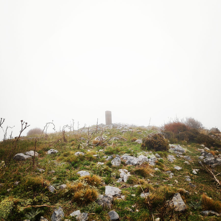
It was still early in the morning and almost everyone was sleeping in the Ostrakina mountain hut, though, I had a clear plan and a goal to achieve. That was to first reach the highest point of Mainalo mountain, the Ostrakina peak at an altitude of 1.981 meters above sea level. Last time I was on that peak, was two years ago and that was with full winter conditions.
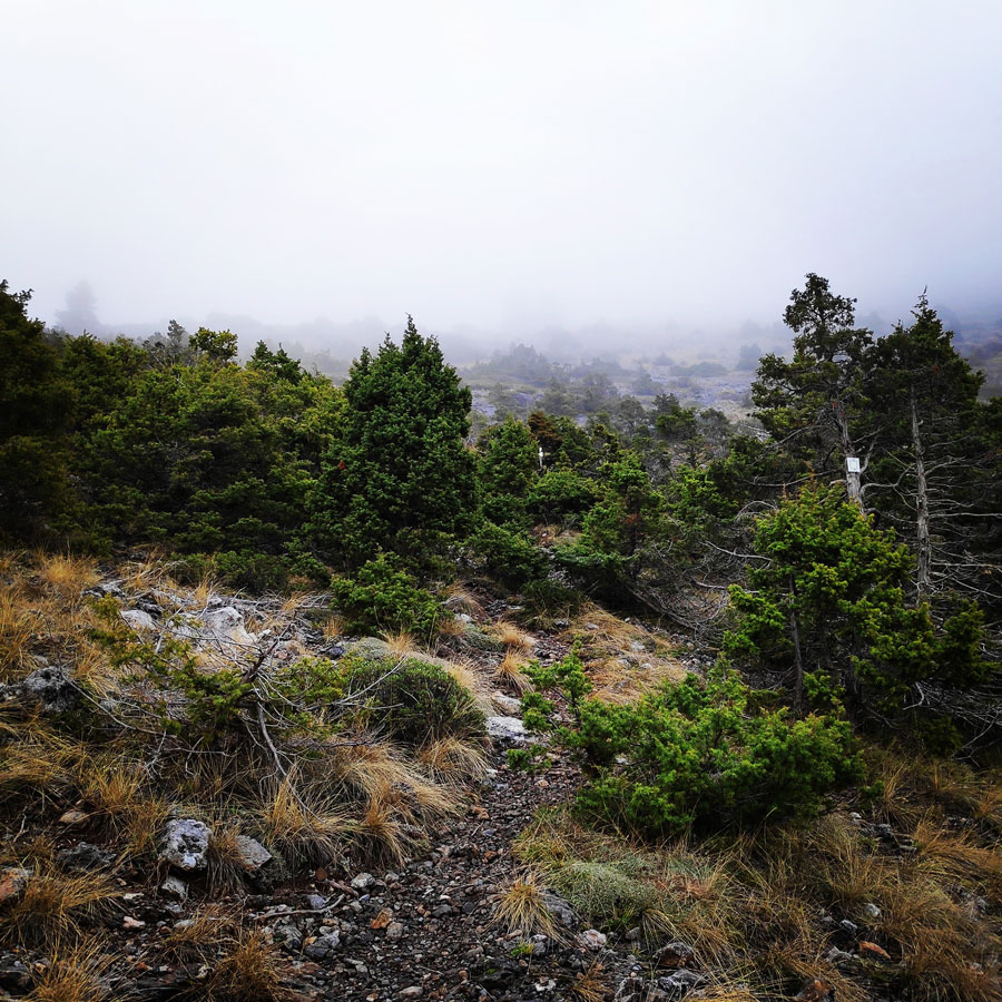
The path towards the highest point of Mount Mainalo, is very easy and although quote steep, not that long in terms of distance. My goal was to hike as fast as possible to the peak, so I would have plenty of time left in order to traverse from Ostrakina peak to Mavri Korifi (Black Peak).
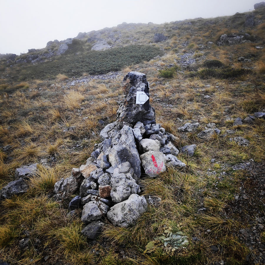
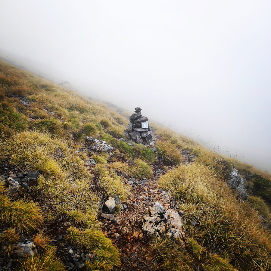
The trail is very well signed and despite the thick fog I was able to reach the top without the assistance of my Garmin Dakota 20 GPS device.
Support the journey — buy me a coffee
I share these articles and the climbing guidebooks because I love the outdoors, and they’ll always be free. If they’ve helped you, help me keep them coming. Click the button to support my work.


Explore all outdoor activities in a convenient list view here
Traversing from Ostrakina Peak to Mavri Korifi
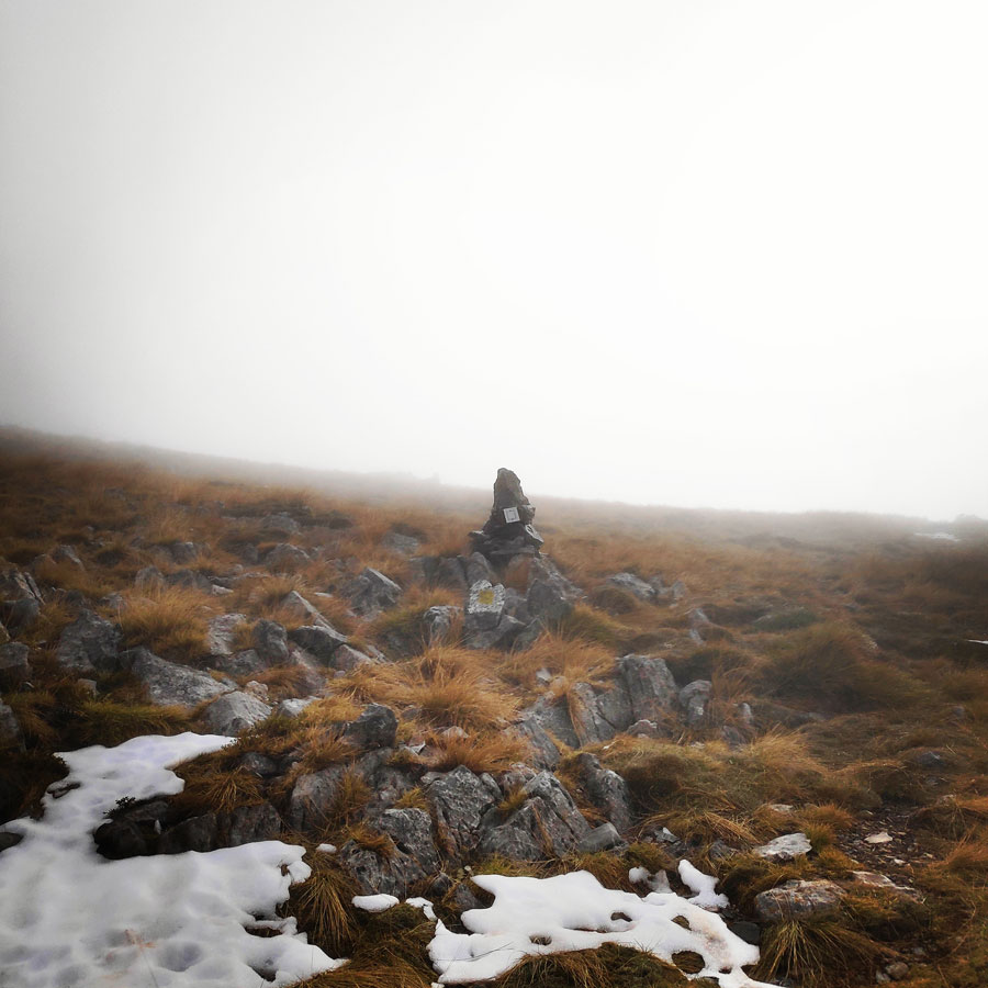
Despite the rather uncomfortable weather conditions, it took me just 22 minutes to reach the Ostraking peak. Up there, wind was blowing and there was a very light rain. Therefore, I have decided to move as soon and as fast as possible to downhill from Ostrakina, and do the traverse towards Mavri Korifi.
Being alone at the highest point of Mount Mainalo was a very nice experience with a great feeling. I particularly like the solo attempts, because it gives me the freedom to move at my own pace, which most of the times is a rather fast pace.
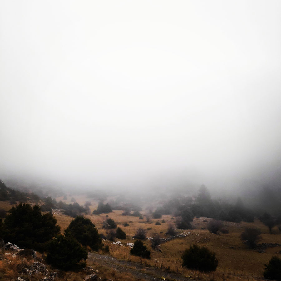
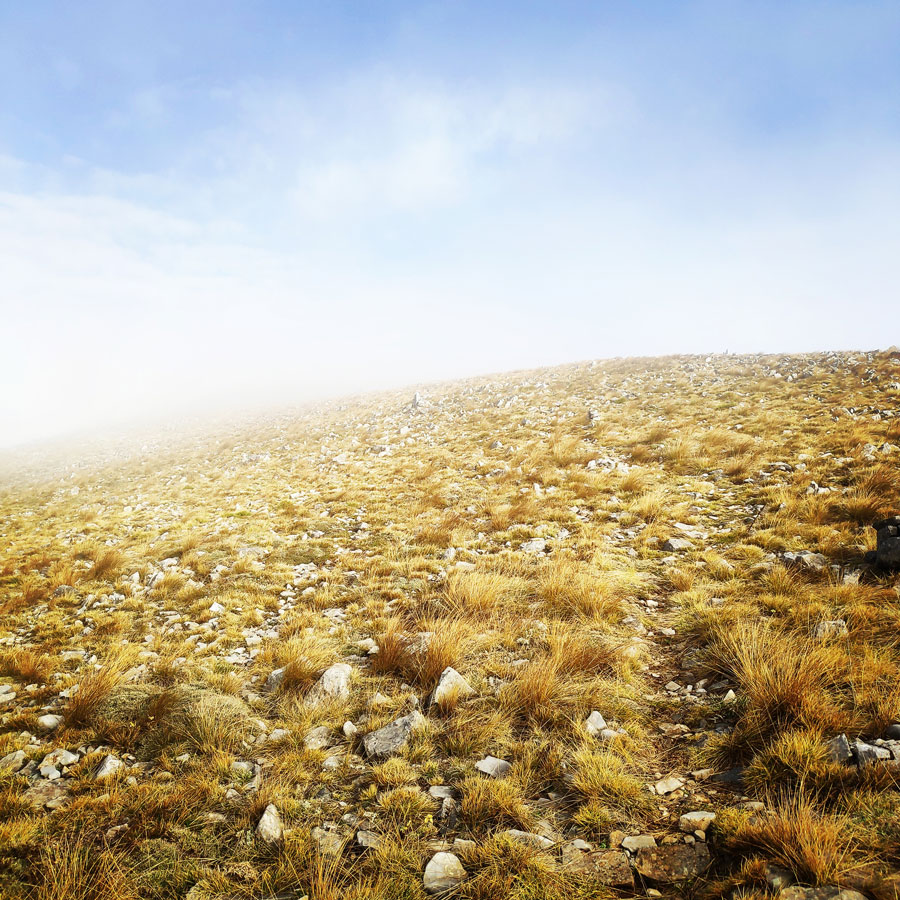
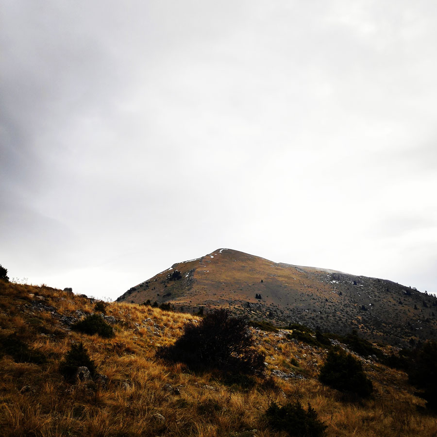
There are many different trails throughout the East Massif, the main trails connect some of the villages in the range. These trails are not dense and create more of a net than a circuit; the higher you go the less trails there are. This being said, the traverse I wanted to attempt and concluded is not a normal trail, but I just had to follow the ridgeline, which under good weather conditions is rather obvious. Though, on the day I was hiking, weather conditions and especially visibility was not that good and therefore I did not have the best views from the surrounding environment.
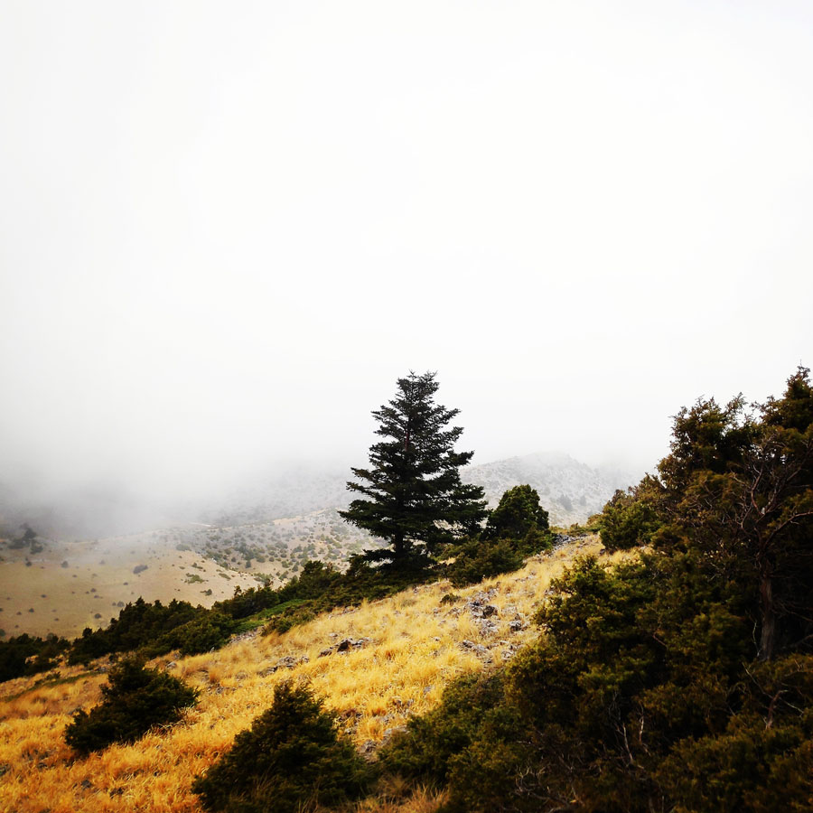

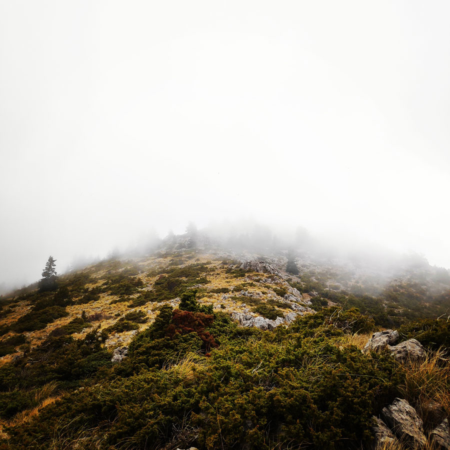

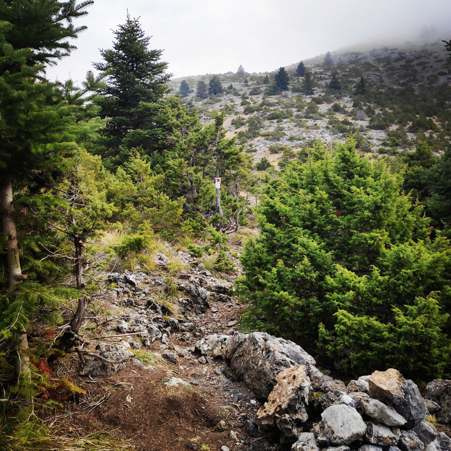
It was a very demanding route and in combination with the low visibility a quite challenging one. In addition, from Ostrakina peak till Mavri Korifi, there was not any normal path, but I just had to hike over stones and between the trees. Fortunately, the biggest part of the route was above tree line.
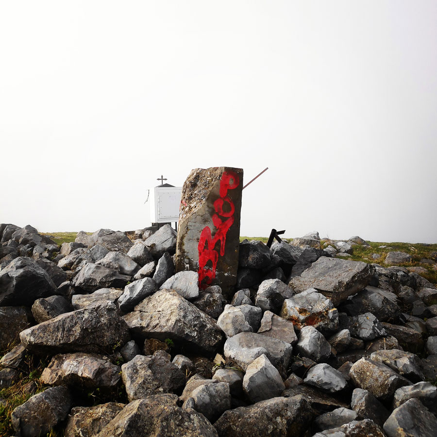
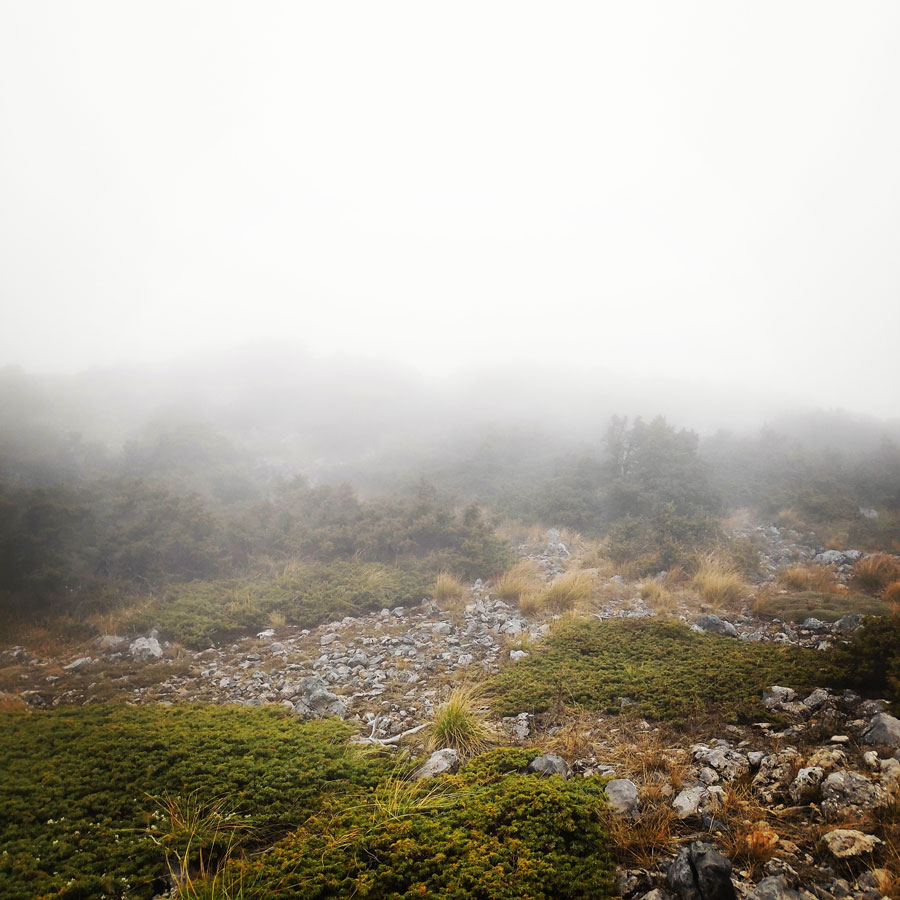
From Mavri Korifi, one can usually see other high peaks of Peloponnese, including Ostrakina, but unfortunately the visibility due to mist and fog was very low. As soon I reached the top of Mavri Korifi, I took a couple of photos and then I continued my hike towards my starting point, the refuge of EOS Tripolis.
Mavri Korifi – EOS Tripolis Refuge
While I was down climbing from Mavri Korifi, a bit of rain started and all rocks and stones were very slippery. Therefore, I needed to pay extra attention and fortunately, my La Sportiva Bushido performed great!
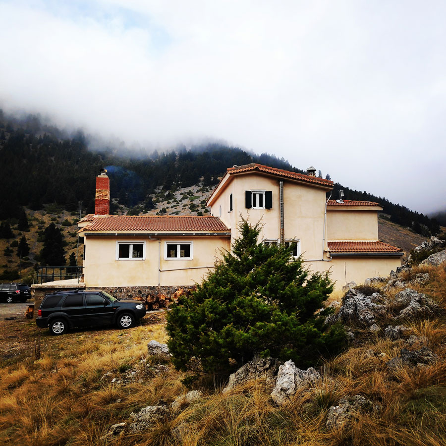
About 1 km before reaching the Mainalo Ski centre, weather conditions were getting better and I had a better visibility. From quite far, I could identify the Ski resort and also my final distation point, the EOS Tripolis mountain hut.

Subscribe & Stay Informed
Enter your email address to follow this blog and receive notifications of new posts by email

Other Outdoor Activities in the region of Mainalo
The area of Mainalo is located in Arcadia, in the heart of the Peloponnese, the richest region in history and landscapes of Greece.
Dozens of villages, some of them located on the “legs” of the forest, some other in the perimeter of fertile basins and other at the outlets of large headlands, define the volume of the mountain, which rises almost 1000 m. above the vast Arcadian upland and already around 1000 m above sea level.
There are plenty of interesting outdoor activities one can do in the Mainalo region.
Alpine (Resort)
The Mainalon Ski Resort is located in the Ostrakina plateau at 1600m of elevation. The resort is pretty small only boasting three ski lifts but gets a reasonable amount of snowfall and is rather close to Athens. The ski pass is about 10 Euros (per day) and allows access to 5 trails all under treeline with the highest elevation being around 1800m. The skiing is almost entirely under the treeline and offers great powder, pillows and tree-skiing.
Menalon Trail
The Menalon Trail grows to a length of 75 km. It passes through the villages of Stemnitsa, Dimitsana, Zygovisti, Elati, Vytina, Nymfasia, Magouliana, Valtessiniko, Lagadia, turning the entire tourism infrastructure and services Gortynias.
Both the design and organization of the journey, and the general infrastructure that the frames follow the standard set by the European Ramblers Association (ERA), which brings together 33 national federations of European countries and aimed at 3,000,000 members. Having evaluated according to 41 metering, quality and technical criteria, the Menalon Trail received a certificate of competence as one of the Trails Master Quality (Leading Quality Trails – Best of Europe) and now proposed by the ERA for European hikers as a coherent, interesting and safe mountain adventure. The Menalon Trail is the 9th European path that takes this important quality and safety guarantee.
More details about Menalon Trail here.
Gear & Equipment
For this trip, I was carrying the following main gear:
- Sierra Design Lightning 2 Tent
- Cumulus Panyam 600 Hydrophobic Down sleeping bag
- Klymit Stativ V Ultralight sleeping pad
- Garmin Dakota 20 GPS device
- Cumulus Incredilite Endurance Hydrophobic Down
- Quechua Tech-Fresh 50 T-shirt
- La Sportiva Bushido
- Kalenji Trail Running Vest 10 l.
Details of the Hike:
- Location: Mainalo Mountain
- Starting Point: EOS Tripolis Refuge
- Goal: Traverse from Ostrakina Peak to Mavri Korifi (Black Peak)
- Ending Point:EOS Tripolis Refuge
- Trail Signs: Partly signed path
- Minimum Elevation: 1.570 m
- Maximum Elevation: 1.981 m.
- Total Distance: 8.8 km
- Difficulty: Medium
- When to Hike: All year
- Water Features: None
See previous activities on Mount Mainalo here:
Support the journey — buy me a coffee
I share these articles and the climbing guidebooks because I love the outdoors, and they’ll always be free. If they’ve helped you, help me keep them coming. Click the button to support my work.
Before you leave this blog check out the following map
Below: This map marks all the mountaineering adventures that have been featured on Olympus Mountaineering so far, including several Sport climbing crags – Select full screen to expand, zoom in for more detail, or click on a marker for a link to the post.

Looks like a nice trip, nice photos as well. Good to see it is not only over here we “study the inside of the clouds” 😉
LikeLike
Thanks for your kind comment and for visiting the blog.
Although here in Greece is mostly sunny, fortunately, we also have autumn and winter feel up in the mountains.
LikeLike