
Mount Mainalo, with almost 2000 m altitude (Ostrakina Peak) is one of the most mysterious mountains of Greece. It dominates the middle of the Peloponnese and is distinguished for its natural wealth and beauty. On its lush green slopes, since the dawn of the world man became a predator, architect, and musician, learned to live in towns, discovered the charms of art, the assistance of divination and met face to face with God.
Last time we have visited Mount Mainalo (or Menalo) was for a winter mountaineering ascent a couple of years ago. Now, a couple of years later on, it was again time to visit Mainalo, wich was named after the mythical Maenalus.
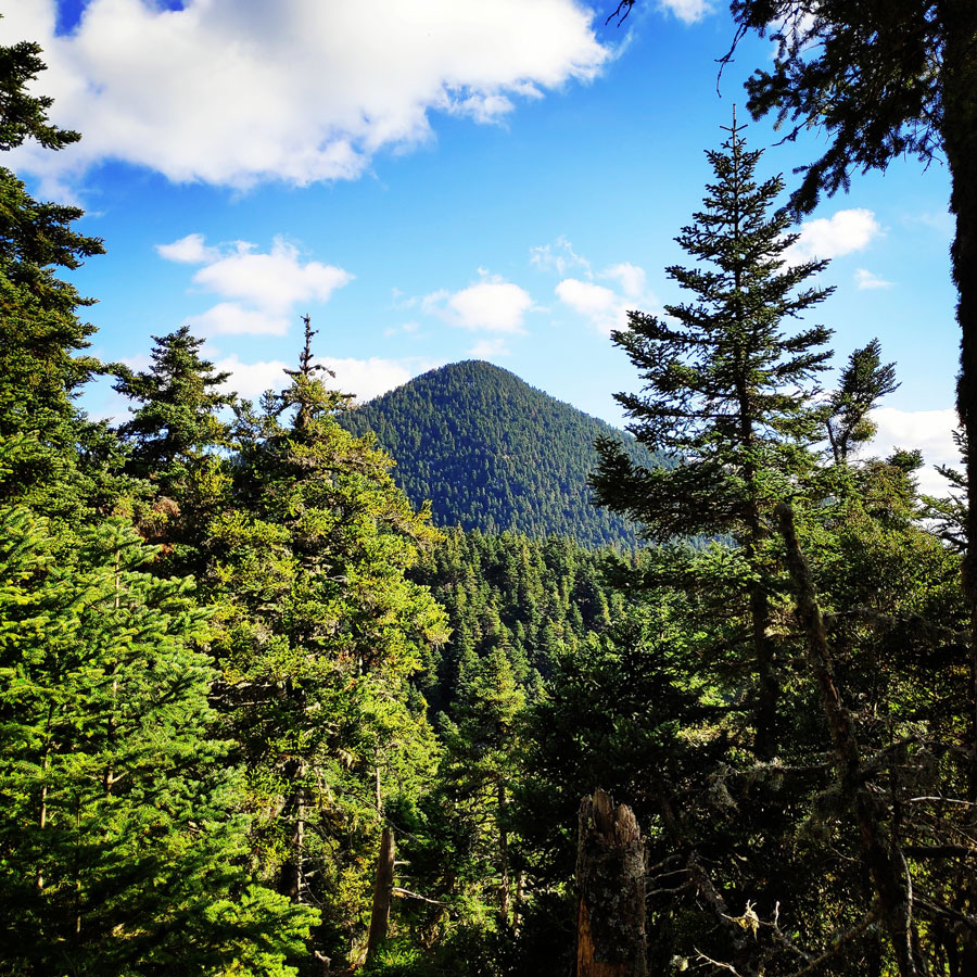
The Mainalo mountain range is one of the largest and most famous mountain ranges in Greece. Located at the center of the Peloponnese in the jurisdiction of Arkadia, it hosts 50 peaks over 1500m. Even so it has a small highest elevation, that being Ostrakina or Profitis Ilias at 1981m, it has a very high average elevation that being around 1100m. The range, has two distinct sub ranges the East and West. The east boasts some alpine and has the highest elevations whilst the west is purely under the treeline.
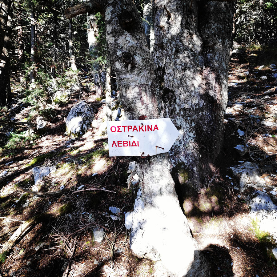
The route we have decided to do was an almost 17 kilometres hike that would start and end at the same point, which was the EOS Tripolis refuge. Though, these 17 kilometres hike would pass from different peaks of Mainalo, with the ultimate goal to reach the Tzelati peak, 1.868 meters above sea level.
Tzelati, is the second highest distinct summit and is located west of Ostrakina peak. The two main hiking starting points are the Ostrakina Plateau (home of the EOS Tripolis Refuge and ski resort) and the village of Roino.
Support the journey — buy me a coffee
I share these articles and the climbing guidebooks because I love the outdoors, and they’ll always be free. If they’ve helped you, help me keep them coming. Click the button to support my work.

EOS Tripolis Refuge – Mesovouni – Tzelati
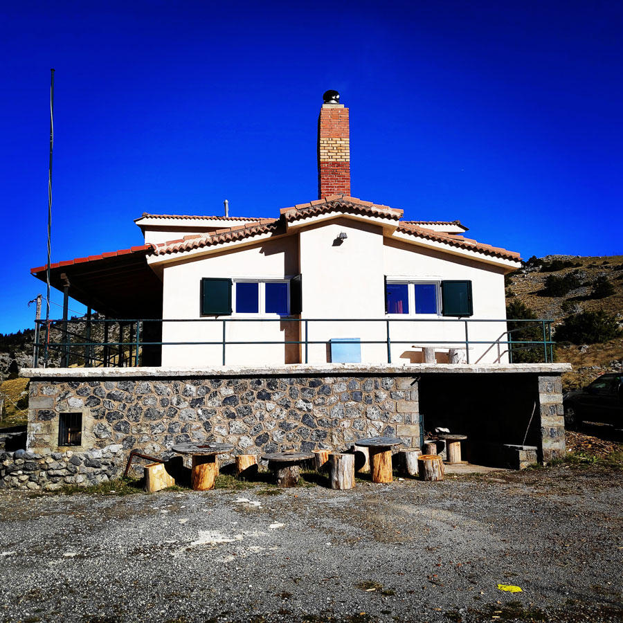
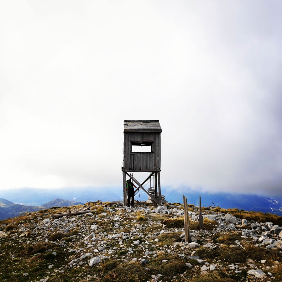
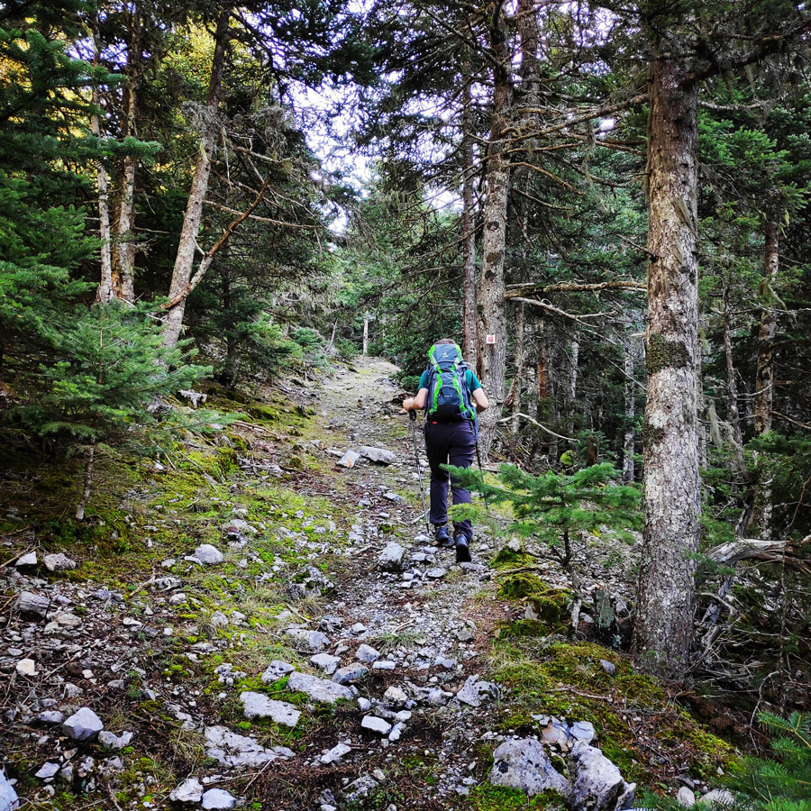
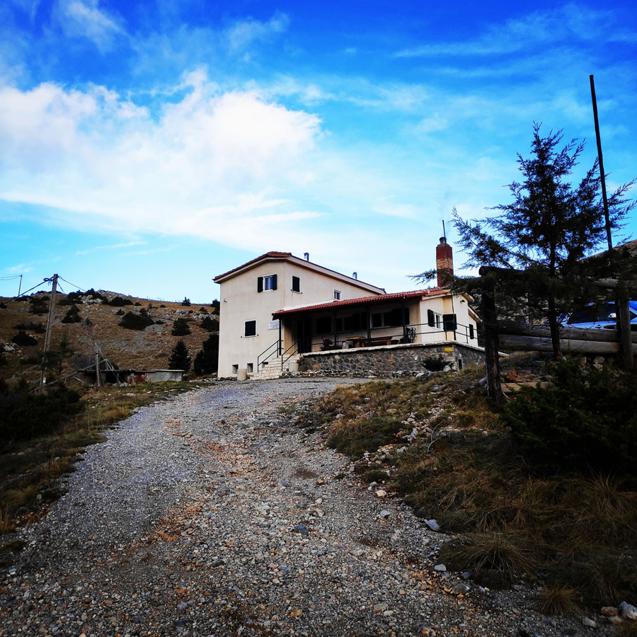
Our starting point was the refuge which is located on the Ostrakina Plateau. Weather conditions was optimal with beautiful sunshine but with a pleasant fresh breeze. Our first goal was to reach Mesovouni peak (1.860 m) via the Mainalo Ski Resort. The first part of the path basically follows a dirt road that during winter time is used for skiing activities.
Overall, the first 1.5 kilometres is a very easy and pleasant hike with a relatively light elevation gain.


Check out more FREE Guidebooks
Download now for free! Explore breathtaking landscapes and conquer thrilling heights with our collection of guidebooks and topos.
Don’t miss out on this opportunity to elevate your outdoor adventures. Click, download, and let the exploration begin!
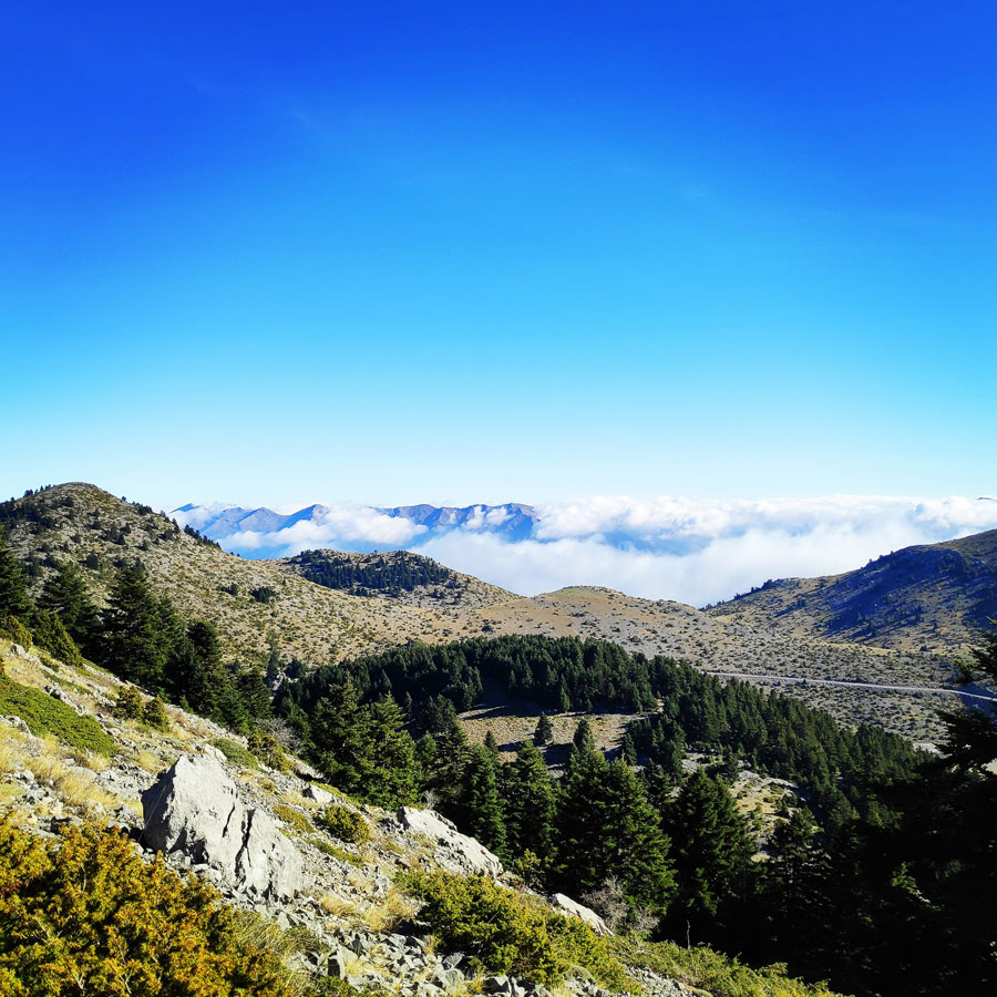
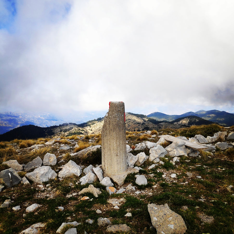
Once we have reached Mesovouni peak (1.860 m.) we had the chance to enjoy the beautiful panorama, and especially the view of the surrounding mountain and peaks. Some of the mountains and peaks we could see are the following:
- Mount Trachi
- Mount Skiathis
- Mount Parnonas
- Ostrakina Peak
- Erymanthos Mountain
- Oligyrtos Mountain
- Chionotripa Peak
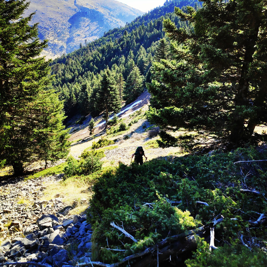
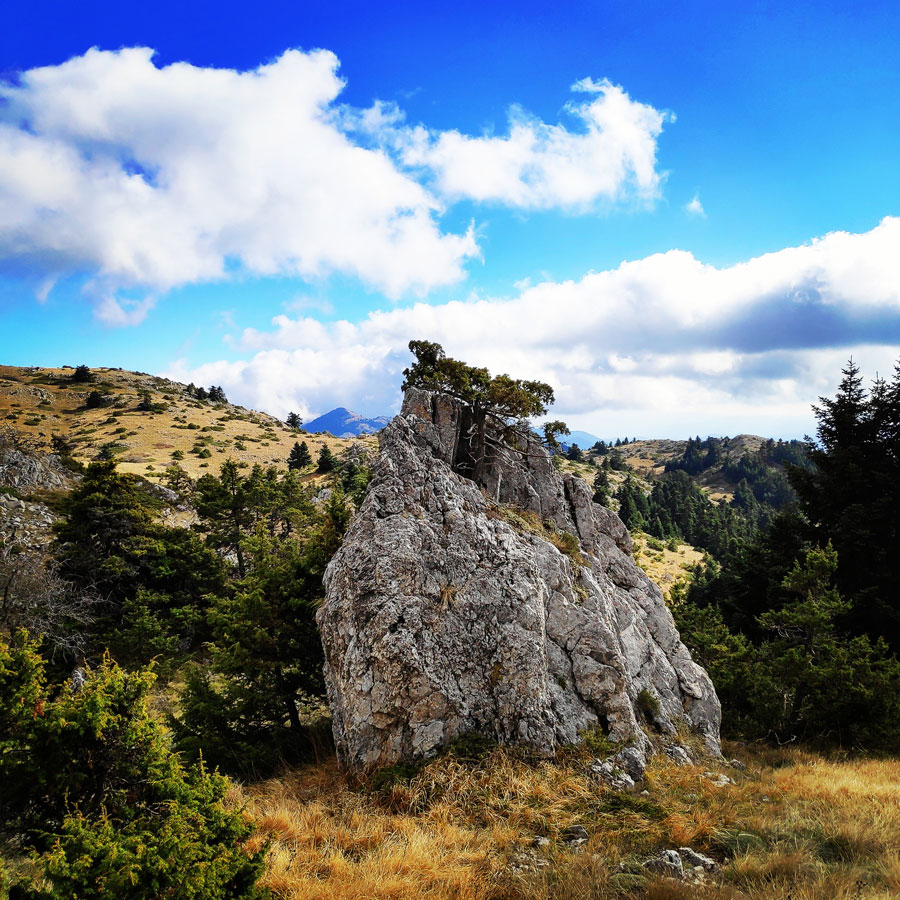
Our next goal was to reach the Tzelati peak (1.868), but before being able to reach Tzelati, we first had to down climb the Mesovouni, pass via Megalo Diaselo (Big Col) and then to go uphill once again for the final meters up to the famous Tzelati peak. The company was excellent and we had a very nice fast pace where we could also enjoy the beautiful natural surroundings.
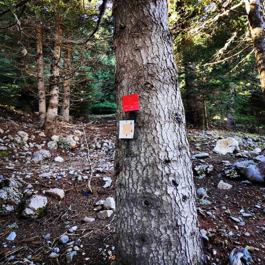
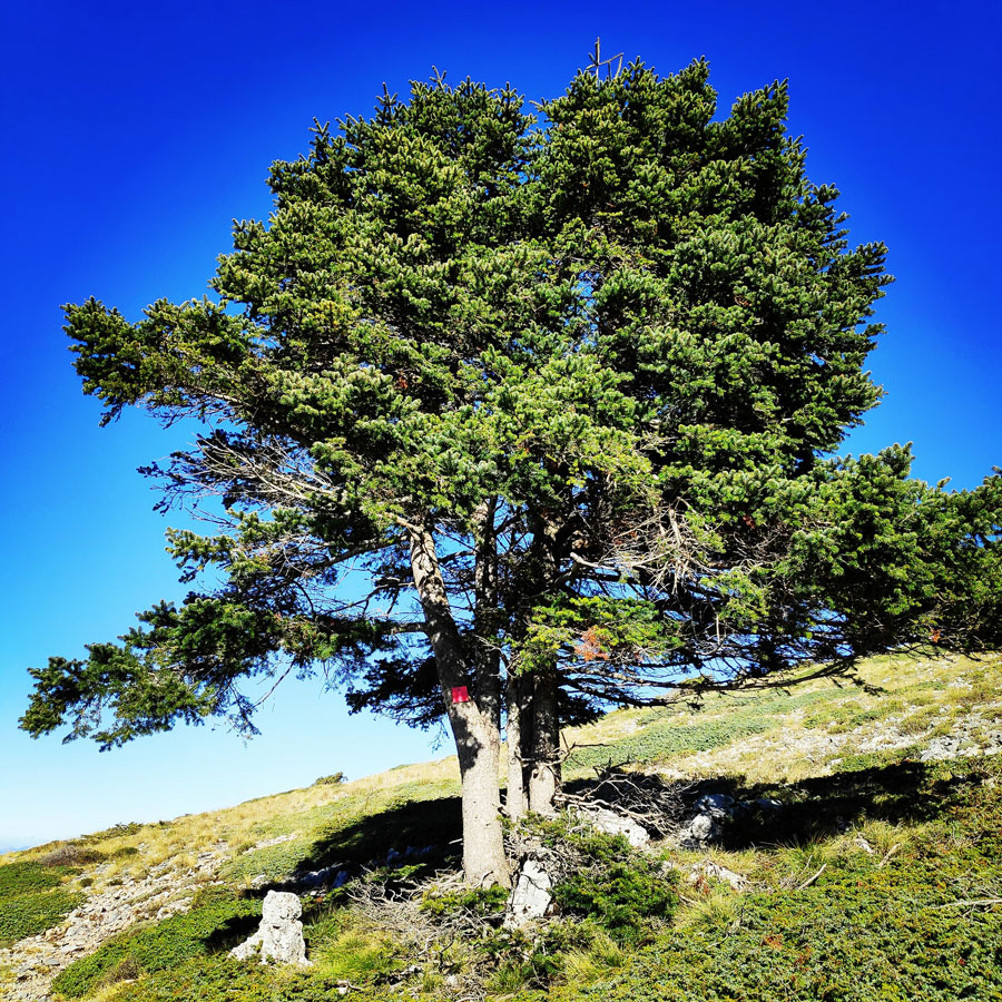
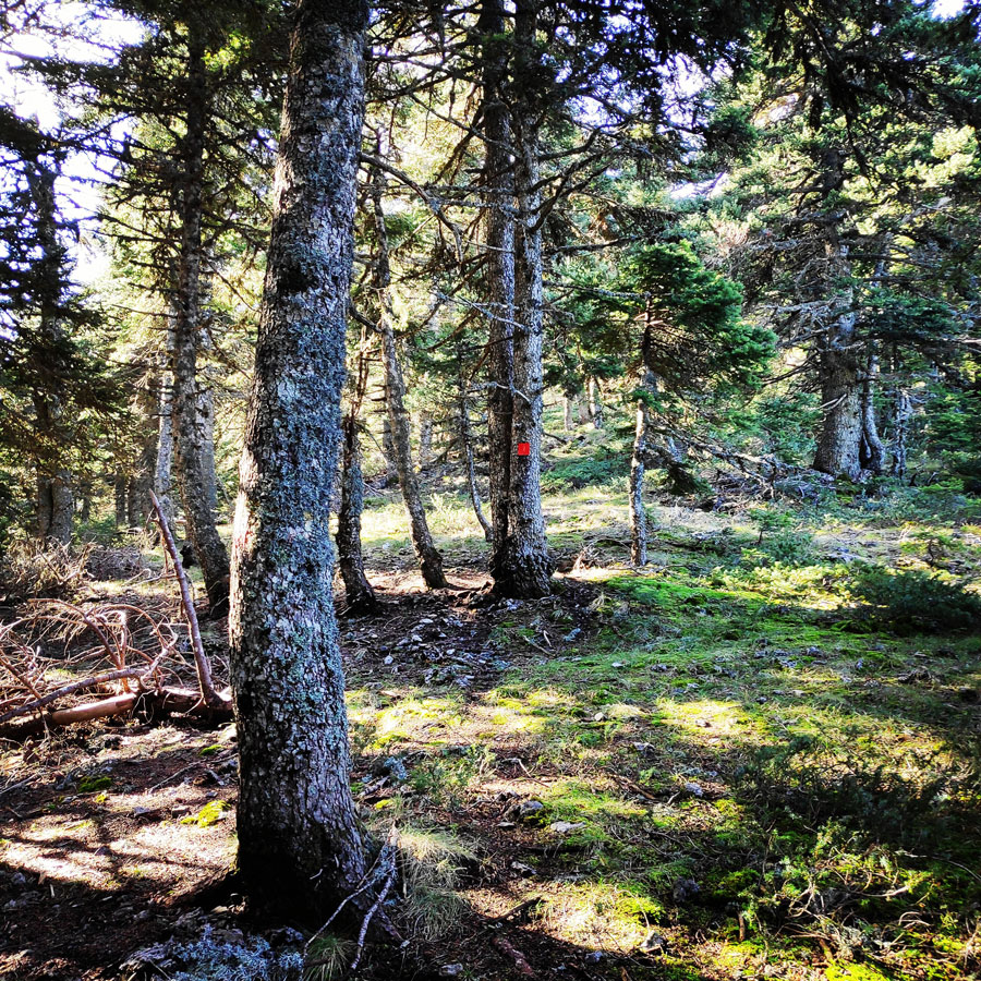
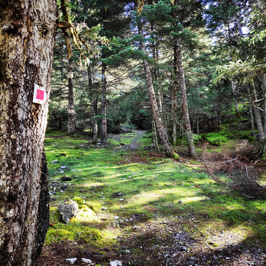
The trail path towards Tzelati is well signed while in the forest, though when above the tree line one should follow the easy and clear to distinct ridge towards the peak.


There are many different trails throughout the East Massif, the main trails connect some of the villages in the range. These trails are not dense and create more of a net than a circuit; the higher you go the less trails there are. This being said the southern peaks of the range only features one access point; this is also the case with Ostrakina (1981m)where there are only two trails that lead up the summit.
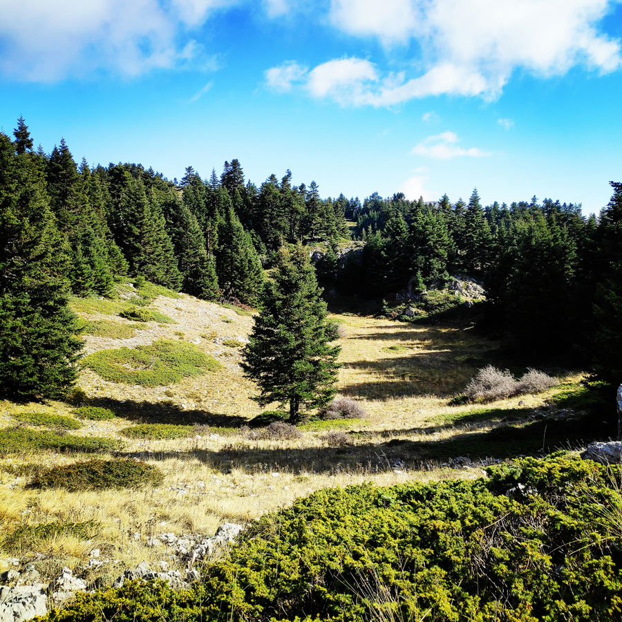
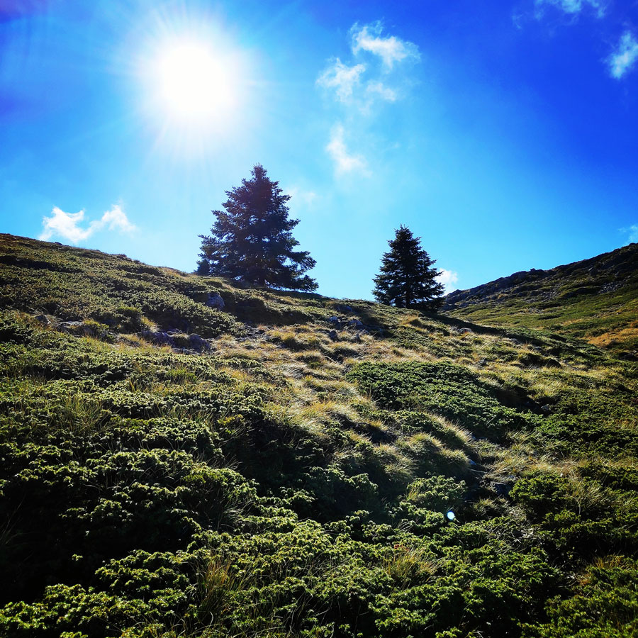
The East Massif provides countless opportunities in high elevation treeline hiking as well as alpine hiking.
The West Massif is a large “sea” of peaks that most closely resemble rolling hills; these peaks are low prominence purely under the treeline. This area is freaking massive, from Vytina to Megalopoli to the South and Dimitsana to the West. There is sadly not much information on the peaks but what seems to be the highest point is the West Mainalo (1643m) just above the village of Zigovitsi. There are many other peaks between 1500-1600m of elevation. Even though these peaks are quite high above the plateaus and villages, the fact that these peaks are tame makes no peak stand out. The good thing is that there are amazingly many trails, the Mainalon trail long distance trail runs through almost the entire range with so many side trails and access roads.
Explore all outdoor activities in a convenient list view here
Tzelati – EOS Tripolis Refuge
As soon we have reached Tzelati, we have had a quick snack and some water. The wind was blowing and therefore we have decided to not stay very long on this peak. In any case, we also have a rather long trail in order to return to our starting point, which was the refuge on the Ostrakina plateau.
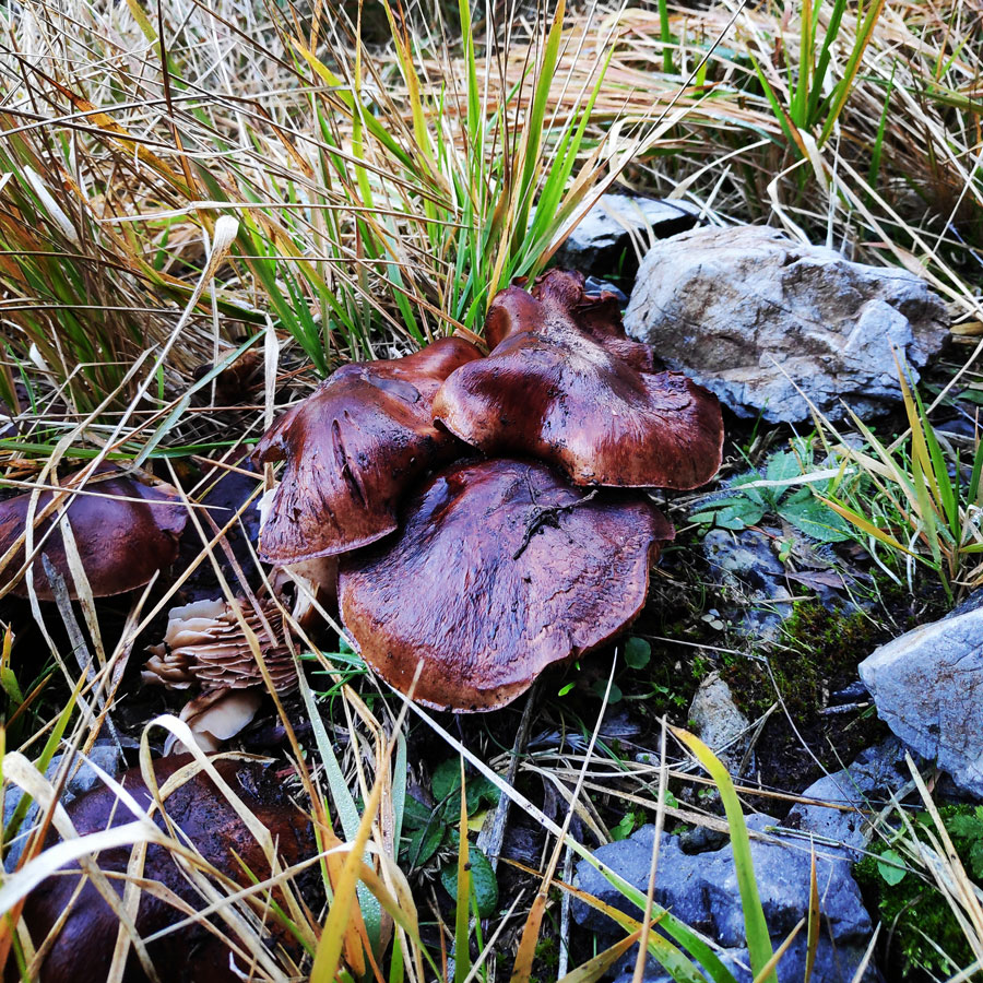
We have decided to go down hill with direction towards Alonistena via a dry creek. Although it was a bit slippery, it was a beautiful dry creek that led us to a dirt road that connects the various parts of Mainalon mountain. While we were down climbing, we had to pay extra attention to the slippery stones and fallen trees, but we also had the chance to see and observe some stunning mushrooms.


We have particularly enjoyed this part of the route, because had the chance to fully enjoy the magical natural environment that Mainalo has to offer.
As the time was passing, we continued hiking for the last part of the trail that basically connects the Alonistena village with the Ostrakina plateu.
We have reached the refuge just before the sun would set, and that was great because I was able to set up my tent and the rest of the sleeping gear before it would get dark. For this trip, my sleeping gear was the following:
- Sierra Designs Lightning Tent
- Cumulus Panyam 600 Sleeping Bag
- Klymit Static V Insulated Ultralight Sleeping Pad


As soon we have reached our final point, we have had a delicious meal, because one of our climbing friends was celebrating his birthday there on that evening. It is always nice to share the outdoor adventures with more people and especially if the company is good and there is mutual respect.
Gear & Equipment
For this trip, I was carrying the following main gear:
- Sierra Design Lighting 2 Tent
- Cumulus Panyam 600 Hydrophobic Down sleeping bag
- Klymit Stativ V Ultralight sleeping pad
- Garmin Dakota 20 GPS device
- Cumulus Incredilite Endurance Hydrophobic Down
- Quechua Tech-Fresh 50 T-shirt
- La Sportiva Bushido
- Kalenji Trail Running Vest 10 l.
Support the journey — buy me a coffee
I share these articles and the climbing guidebooks because I love the outdoors, and they’ll always be free. If they’ve helped you, help me keep them coming. Click the button to support my work.
Details of the Hike:
- Location: Mainalo Mountain
- Starting Point: EOS Tripolis Refuge
- Goal: Tzelati Peak
- Ending Point:EOS Tripolis Refuge
- Trail Signs: Well signed path
- Minimum Elevation: 1.266 m
- Maximum Elevation: 1.868 m.
- Total Distance: 16.8 km
- Difficulty: Medium
- When to Hike: All year
- Water Features: None
Bellow you can see the route we have followed on a map:

Subscribe & Stay Informed
Enter your email address to follow this blog and receive notifications of new posts by email
Before you leave this blog check out the following map
Below: This map marks all the mountaineering adventures that have been featured on Olympus Mountaineering so far, including several Sport climbing crags – Select full screen to expand, zoom in for more detail, or click on a marker for a link to the post.

A lot of beautiful photos.
LikeLike
Thank you for your comment and I’m pleased to know you liked the photos.
LikeLiked by 1 person
Pingback: Hiking on Mount Mainalo – Traversing Ostrakina to Mavri Korifi (Black Peak) – Olympus Mountaineering
Your photos are awesome. I also love trekking and camping outdoor during my free time. For how many days your trail is going?
Love the photos 🙂
LikeLike
Thanks for stopping by and for your kind comment.
Also, really nice to know that you like spending your free time outdoors! I m sure it reloads your batteries!
This hike on Tzelati peak was a day hike, but that was a weekend trip in combination with the Ostrakina peak.
Again, thanks for visiting the blog and your kind comment.
LikeLiked by 1 person
Keep posting wonderful trips. Want to go there! Thanks again for sharing 🙂
LikeLike
Pingback: Panachaiko (Vodias) Mountain Winter Hike – Olympus Mountaineering