Mount Geraneia is a mountain range in Corinthia and West Attica, Greece. Its highest point is the peak Makryplagi, elevation 1,351 m. It covers the northern part of the isthmus between the Gulf of Corinth and the Saronic Gulf. It spans 5–10 km from north to south and 30 km from east to west.
The geography of Geraneia includes forests in the south, the west and the northern part at an elevation of under 900 to 1,000 m. Barren land is in the central part. The grasslands and some bushes lies to the northwest. Farmlands and some barren land lies to the south.
The name of the mountain dates back to ancient times. During the Peloponnesian War, the Corinthians and their allies occupied the heights of Geraneia and marched to Megara with a large force.
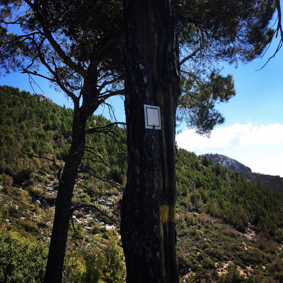
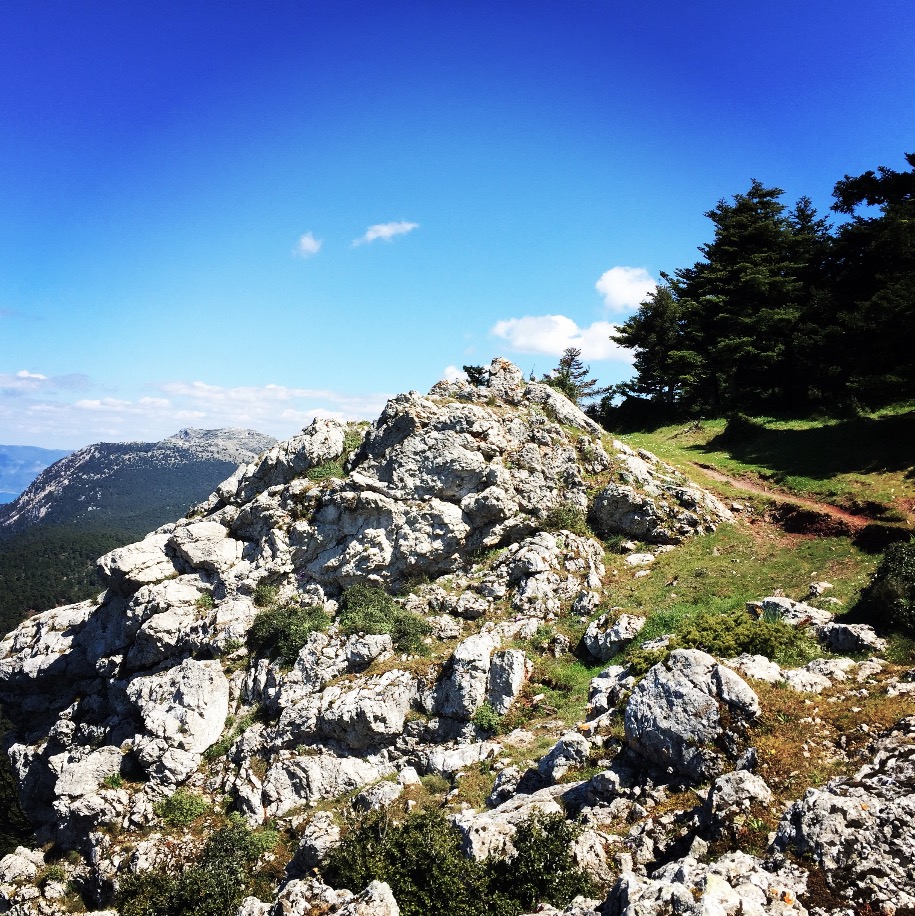
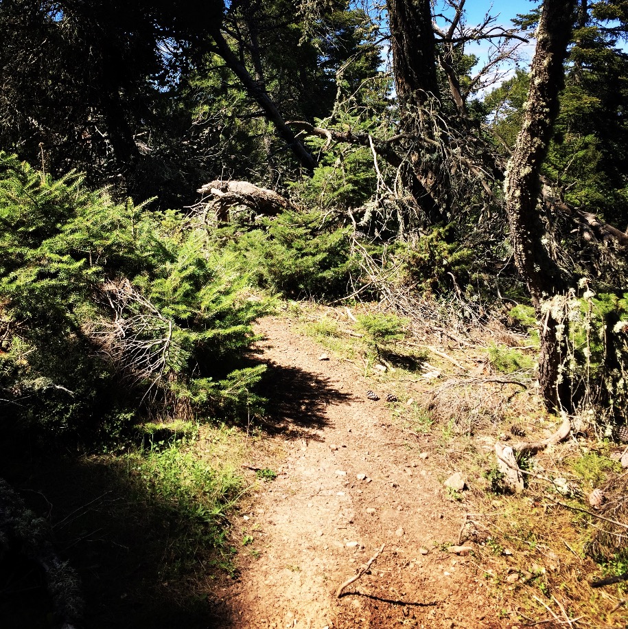
The starting point of our ascent was the Osios Potapios Monastery which is located at 520 meters above sea level. The hiking path is actually starting from the monastery and is defined with yellow colour.

Explore all outdoor activities in a convenient list view here
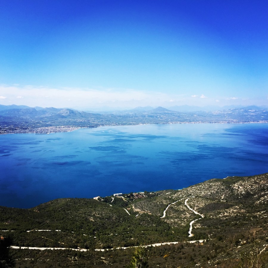
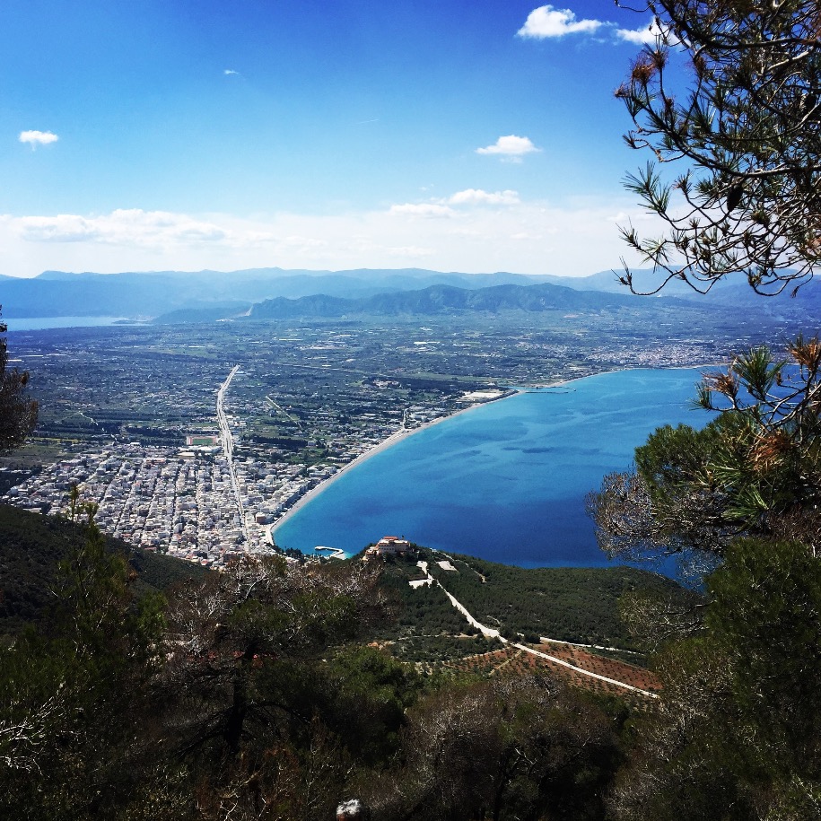
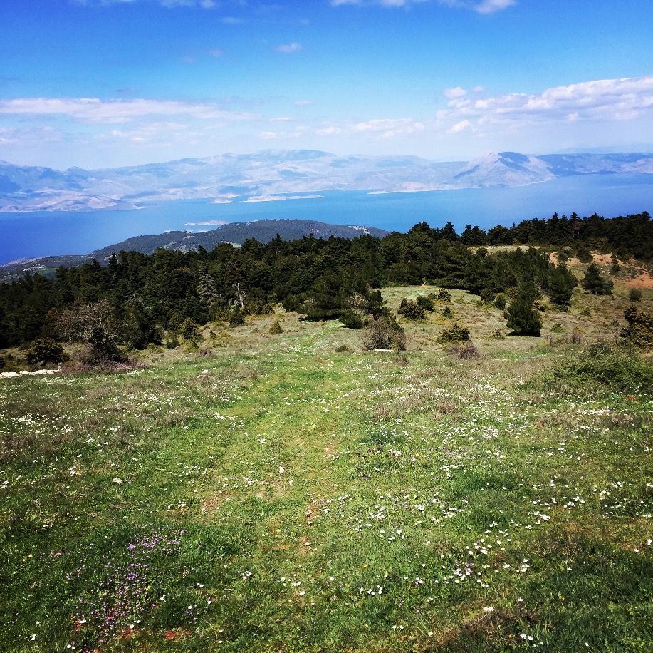
The path from this route is relatively uncovered from trees, but the view towards the Peloponnese peninsula are beautiful. Also, from this part of Geraneia one can clearly see the town of Loutraki and the city of Corinth.
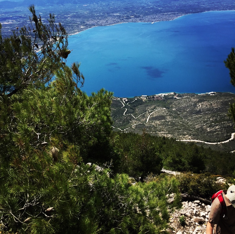
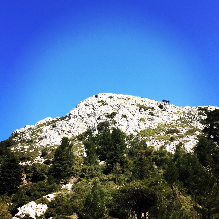
Due to the fact this route is relatively easy and not steep, we went off track and we went to climb that piece of rock (see photo bellow) which was between two parts of the yellow path.


Check out more FREE Guidebooks
Download now for free! Explore breathtaking landscapes and conquer thrilling heights with our collection of guidebooks and topos.
Don’t miss out on this opportunity to elevate your outdoor adventures. Click, download, and let the exploration begin!
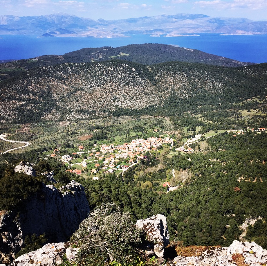
After a small snack and some water, we decided to descent from the other side of Geraneia, which means our goal was to reach the village of Pissia. From the village of Pissia there are also other routes to the mountain.


Subscribe & Stay Informed
Enter your email address to follow this blog and receive notifications of new posts by email
Once we have reached the Village of Pissia we moved toward the sea side and in specific the sanctuary of Hera which is one of the nicest places of Greece to see the sunset.
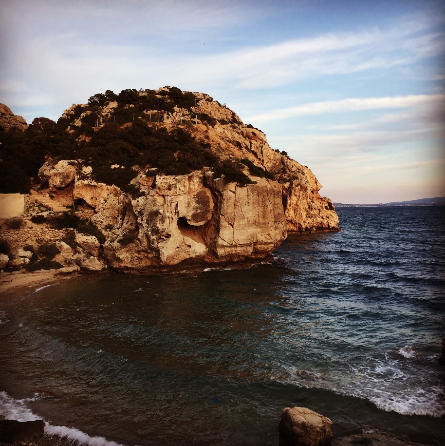

After a long day on the mountain, is always wonderful to be able to see the sun setting down at sea side level. This is what makes hiking in Greece wonderful. Is possible to have mountain hikes and sea side activities in the same day.
Before you leave this blog check out the following map
Below: This map marks all the mountaineering adventures that have been featured on Olympus Mountaineering so far, including several Sport climbing crags – Select full screen to expand, zoom in for more detail, or click on a marker for a link to the post.

Pingback: Climbing in Solomos (Tsouba) – Corinth – Olympus Mountaineering
Pingback: Hiking in Geraneia Mountain – Olympus Mountaineering