One of the great cradles of Western civilization, Classical Athens in particular the birthplace or nurturer of democracy, philosophy, history, poetry, tragedy and comedy, and some of the world’s greatest architecture and sculpture. Through cultural influence (Greek colonies extended around the Mediterranean; the Greeks not the Romans brought wine to France) and expansion (think Alexander), this small rocky country profoundly influenced the world as far afield as Ghandara in what are now Afganistan and Pakistan and hence along the Silk Road to China.
Greece has things to fascinate everyone, children included. The variety of travel and tours you can make in Greece is as a result huge. You can explore Greece’s variety of landscapes, remote coves and the ruins of ancient cities, walking!
The core of Mainland Greece runs from the European Long Distance Walking Path Ε4 (- GR), beginning from the Pyrinaia it arrives in Greece via Yugoslavia, at the Nikis guard-post in Florina. The E4, crossing the Peloponnese, stops at Gythio and continues on to Crete. The mountain-climber is thus given the opportunity to see the enjoy of the Greek scenery and the wealth of Greek nature.
Bellow our favourite Top 5 Hiking Trails in Greece
5. Menalon Trail, Arcadia
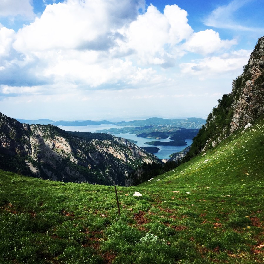
The area of Menalon is located in Arcadia, in the heart of the Peloponnese, the richest region in history and landscapes of Greece.
Dozens of villages, some of them located on the “legs” of the forest, some other in the perimeter of fertile basins and other at the outlets of large headlands, define the volume of the mountain, which rises almost 1000 m. above the vast Arcadian upland and already around 1000 m above sea level. The trail makes use of old mule paths and joins nine historic villages in Gortynia, thus creating 8 adjoining routes.
A complex place and naturally fragmented, central Arcadia carved with tenacity by humans for thousands of years and reached nowadays embellished with any historical or landscapes reference ever flourished in the Mediterranean: every aspect of the natural scenery, states and traditional isolated houses, citadels and hermitages, tanks and bridges, gunpowder mills and threshing floors, clearings and fountains springing up continuously until the pencil and the eye gets tired by its registrations. Among all these, an endless network of trails ascends, descends, turns like a snake and anastomosed in the meadows and saddles.
On the web it was inscribed the largest organized path of Greece, the Menalon Trail.
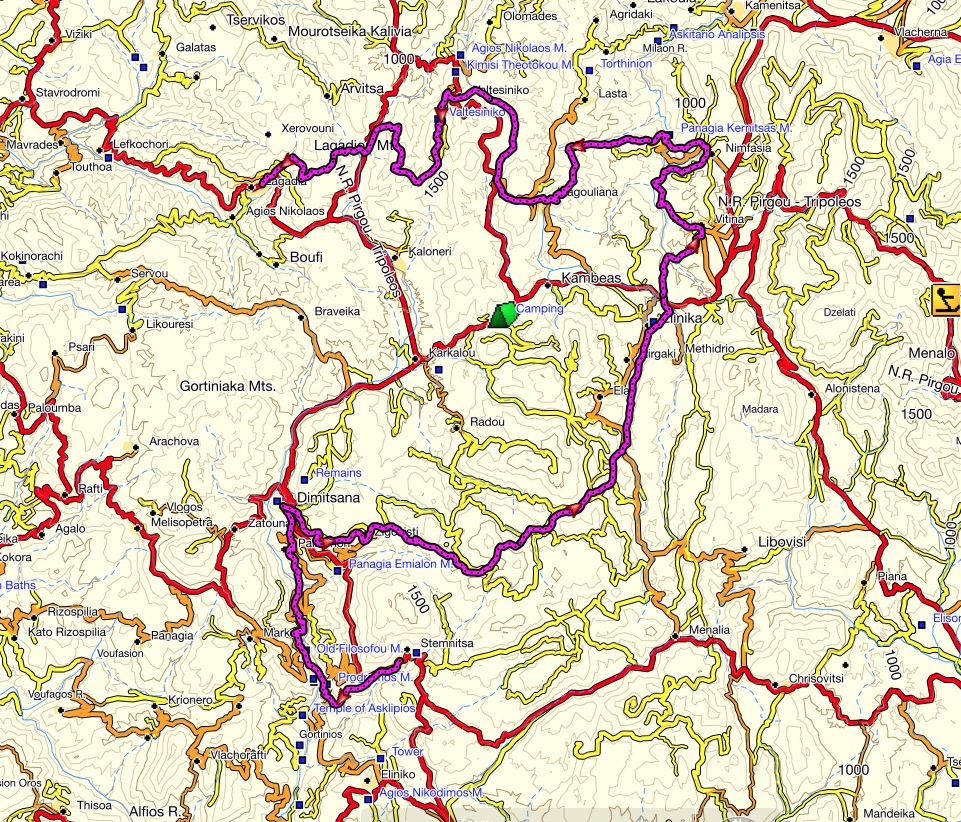
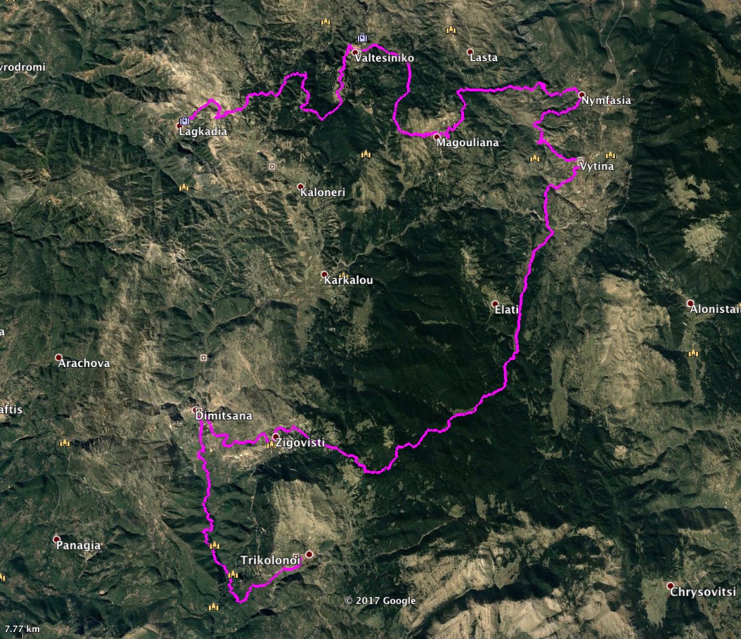
The Menalon Trail grows to a length of 75 km. It passes through the villages of Stemnitsa, Dimitsana, Zygovisti, Elati, Vytina, Nymfasia, Magouliana, Valtessiniko, Lagadia.
Both the design and organization of the journey, and the general infrastructure that the frames follow the standard set by the European Ramblers Association (ERA), which brings together 33 national federations of European countries and aimed at 3,000,000 members. Having evaluated according to 41 metering, quality and technical criteria, the Menalon Trail received a certificate of competence as one of the Trails Master Quality (Leading Quality Trails – Best of Europe) and now proposed by the ERA for European hikers as a coherent, interesting and safe mountain adventure. The Menalon Trail is the 9th European path that takes this important quality and safety guarantee.
You can get more info on the official Menalon Trail website
Support the journey — buy me a coffee
I share these articles and the climbing guidebooks because I love the outdoors, and they’ll always be free. If they’ve helped you, help me keep them coming. Click the button to support my work.

4. Hike in Lakmos Mountain via Verliga, Epirus
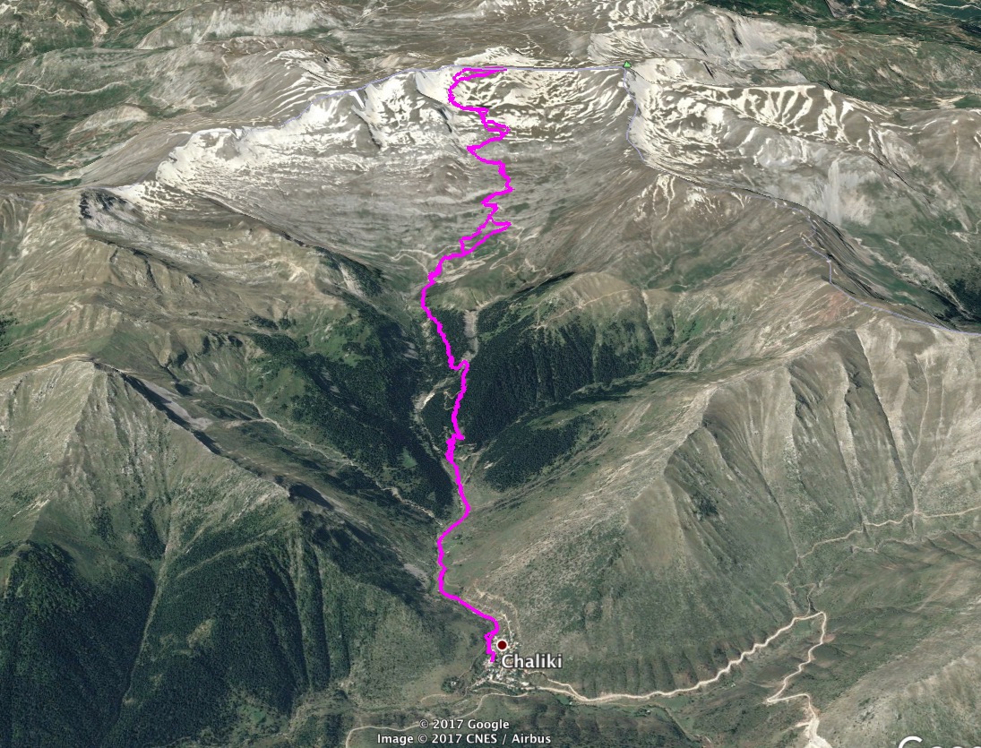
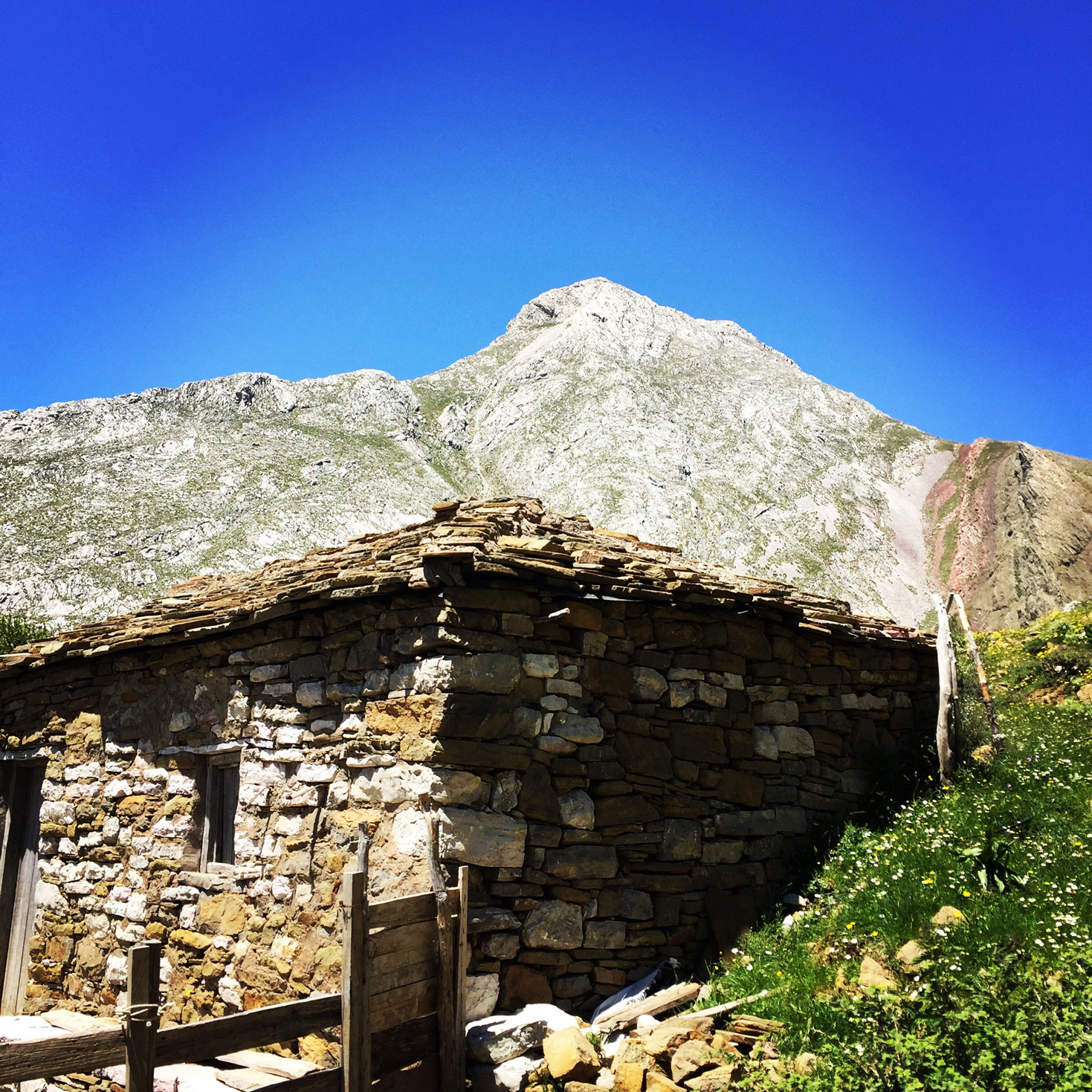
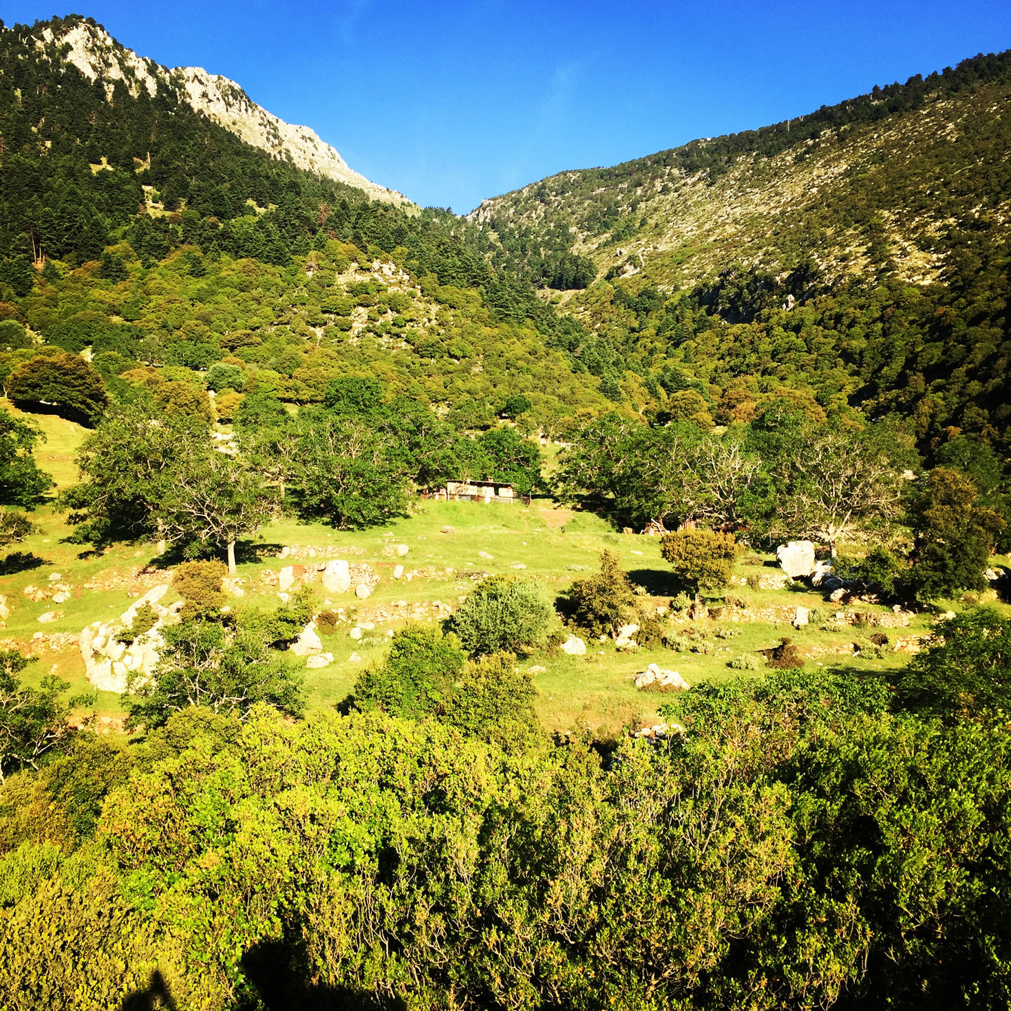
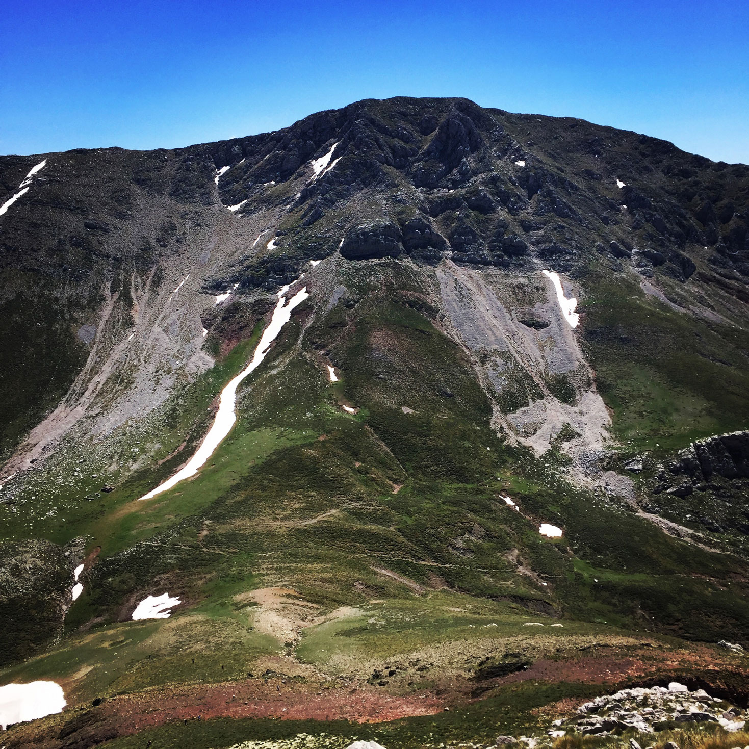
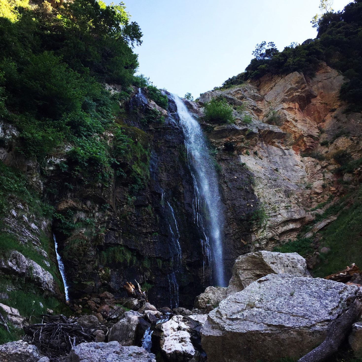
Situated north of Metsovo, within the central part of the Pindus range, Mount Lakmos or Peristeri is one of the region’s most remote mountains. It is surrounded by peaks of over 1700 meters in height and is only accessible after a long drive through Pindus. More than ten of its peaks exceed the altitude of 2,000 meters and some are steep enough to satisfy even the most demanding thrill-seekers.
According to an ancient myth, Amalthea- Zeus foster mother- gave her legendary horn to river-god Achelous (Acheloos), whose own horn had been broken after a fight with Heracles. In another myth, Acheloos was said to have been formed by the tears of the tragic figure of Niobe, who fled to mount Sipylon after the angry gods murdered her husband and fourteen children. Around the mountain there are lots of rivers and streams as well as oak forests that during spring transform the area into a colorful painting. Moreover, it is the main “feeder” of the rivers Acheloos and Arachthos.

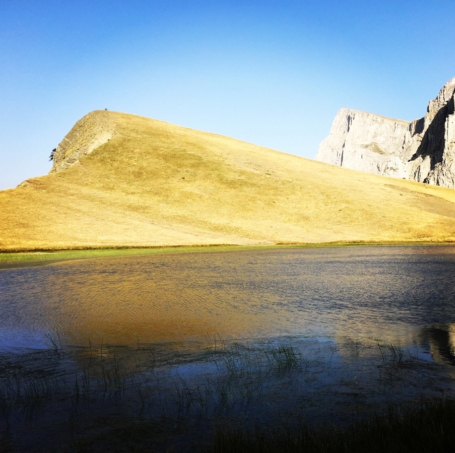
Most of the hiking trails start from the village Chaliki, on the eastern part, and from the village Anthochori, on the northern part. In Anthochori there are no signs. With the help of the locals, however, it is easy to find the right trail. Chaliki has no sign system either, but this causes no problems as the hiking signs leading to the peak start just outside the village. Despite the herds grazing at its slopes, the mountain remains to a great extent pristine. The alpine meadows west of the summit are ideal for camping or backcountry skiing. Alpine lake Verliga is just north of Tsoukarela peak, but it remains frozen or hidden under snow until late spring, while it dries up completely in the summer. Peristeri summit offer a panoramic view of mounts Tzoumerka, Kakarditsa and Mavrovouni. Kakarditsa is almost linked to the southern peaks of Lakmos and it is possible to combine a visit to both mountains.

Check out more FREE Guidebooks
Download now for free! Explore breathtaking landscapes and conquer thrilling heights with our collection of guidebooks and topos.
Don’t miss out on this opportunity to elevate your outdoor adventures. Click, download, and let the exploration begin!
3. Erymanthos Mountain & River, Peloponnese
Erymanthos is a mountain range in the southern part of Achaea and the northeastern part of Elis. With an elevation of 2,224 meters, it is the fourth-tallest mountain in the Peloponnese peninsula. The summit is located on the boundary of Achaea and Elis. Historically, Mount Erymanthos was part of northwestern Arcadia, where it was the second-tallest mountain range. The northern portion belonged to the historic Achaea.
It offers four ascents that are moderately difficult to quite difficult:
- Begin from Miha village and head for Muggila peak up to the summit, at the top of Olenos mountain (2,224 meters).
- Climb from the historic village Kalentzi up to Profitis Ilias (2,214 meters), continuing to Mount Erymanthos.
- Somewhat easier, begin from the village of Alepochori and follow the path parallel to Katarraktis until you reach the Monastery of Taxiarches at 1,000 meters of altitude.
- Head from Metochi Vlassias to Kallifoni peak at 1,996 meters.
You can also follow a trail that is crossing Erymanthos, starting from Miha village towards Alepochori.

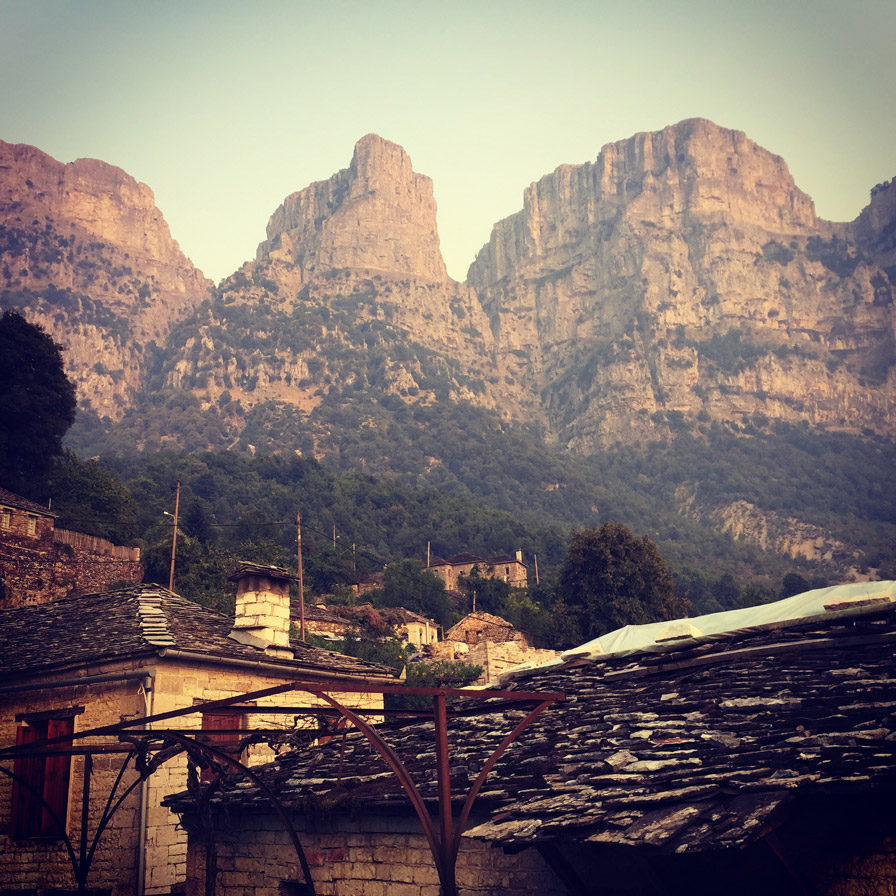
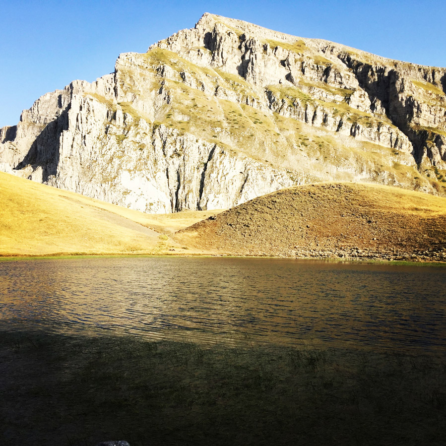
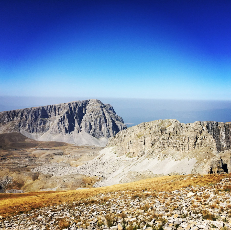
2. Tymfi Mountain & Vikos Gorge, Pindos
Tymfi is a mountain in the northern Pindus mountain range, northwestern Greece. It is part of the regional unit of Ioannina and lies in the region of Zagori, just a few metres south of the 40° parallel. Tymfi forms a massif with its highest peak, Gamila, at 2,497 m (8,192 ft), being the sixth highest in Greece.
The massif of Tymfi includes in its southern part the Vikos Gorge, while they both form part of the Vikos–Aoös National Park which accepts over 100,000 visitors per year. The former municipality of the same name owed its name to the mountain. It also gave its name to the ancient land known as Tymphaea and to the Tymphaeans, one of the tribes in Ancient Epirus.
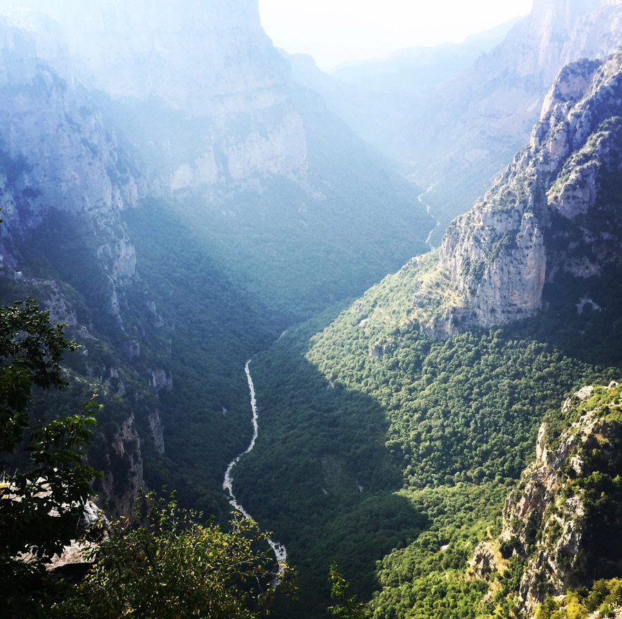
Most part of the mountain, with the exception of its southernmost part around the peak of Astraka, forms part of the Vikos–Aoös National Park. The park is a designated protected area and visitors should be aware of the limitations to activities imposed by the law. The World Wide Fund for Nature (WWF) runs an information centre in the village of Papingo.
The mountain is also accessible from other surrounding villages but the trails are longer and the terrain rougher and steeper. Therefore they are suggested for more experienced hikers. From the village of Vrysochori at the eastern side of the mountain, a trail of 12.8 km leads to Gamila peak through the Karteros Pass. From the village of Vradeto to the south of the mountain the trail to the peak is approximately 14.9 km. Trails that lead to the mountain can also be followed from Konitsa and Tsepelovo. Those routes are poorly and scarcely marked, mostly by dots of red paint on rocks, and are in some cases unclear and covered by vegetation.
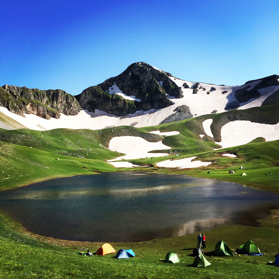
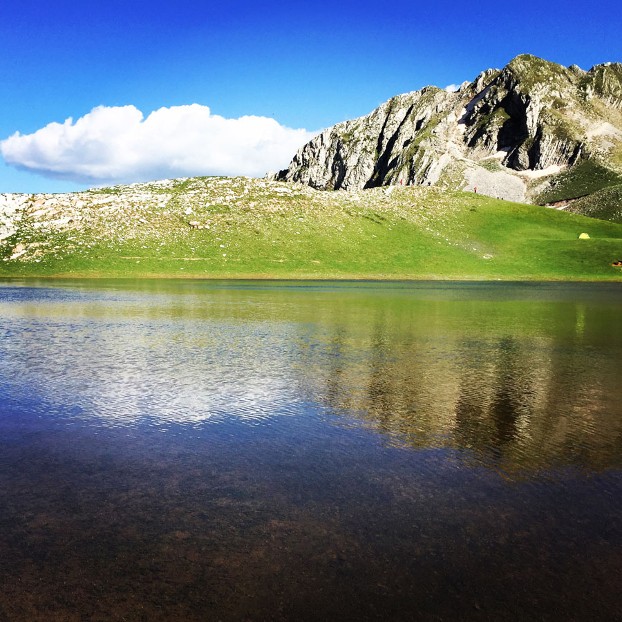
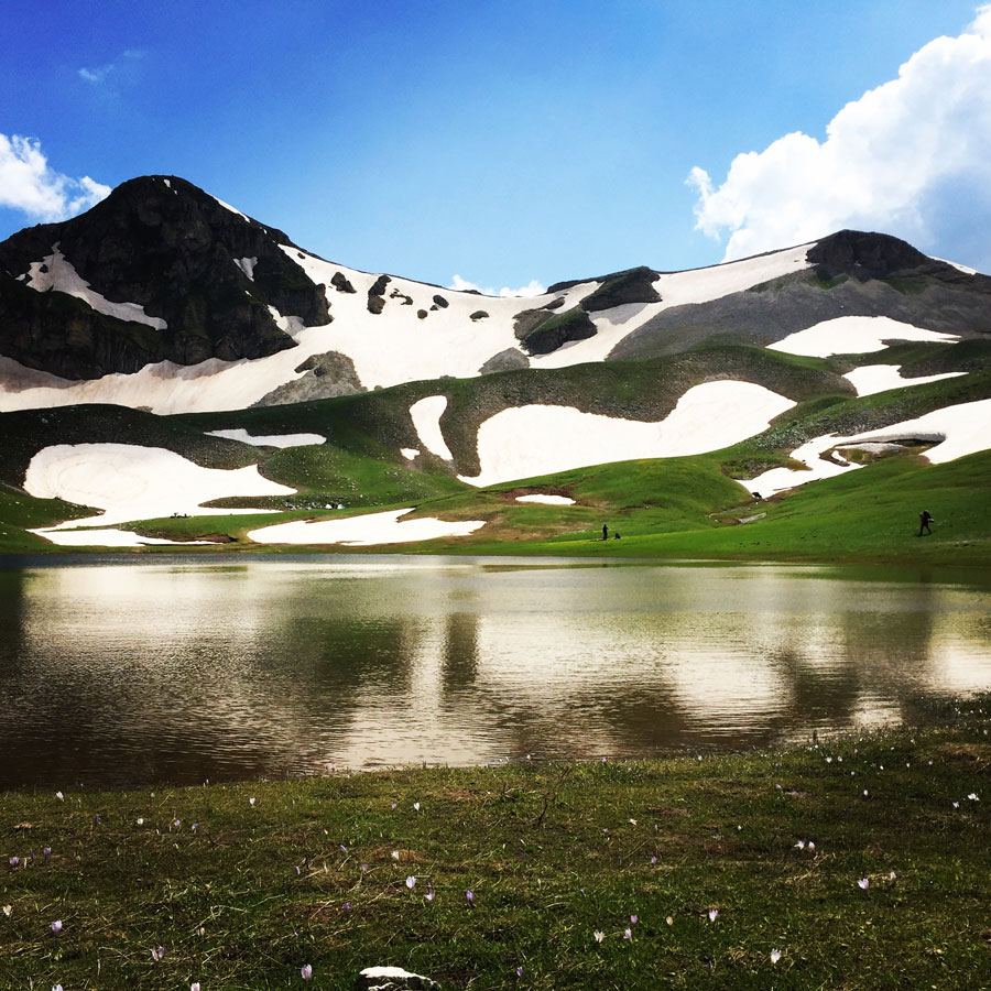
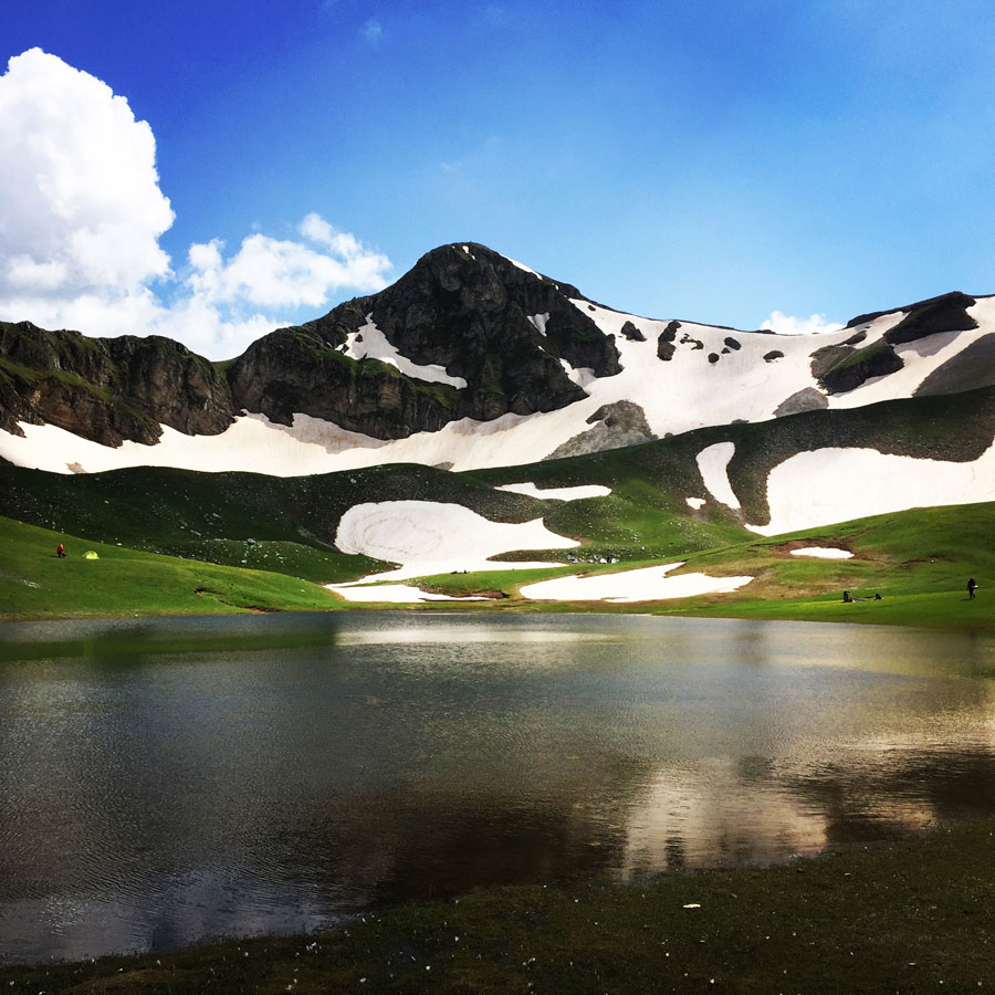
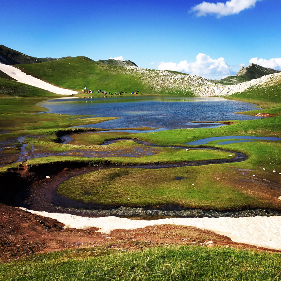
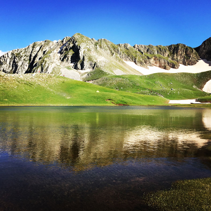
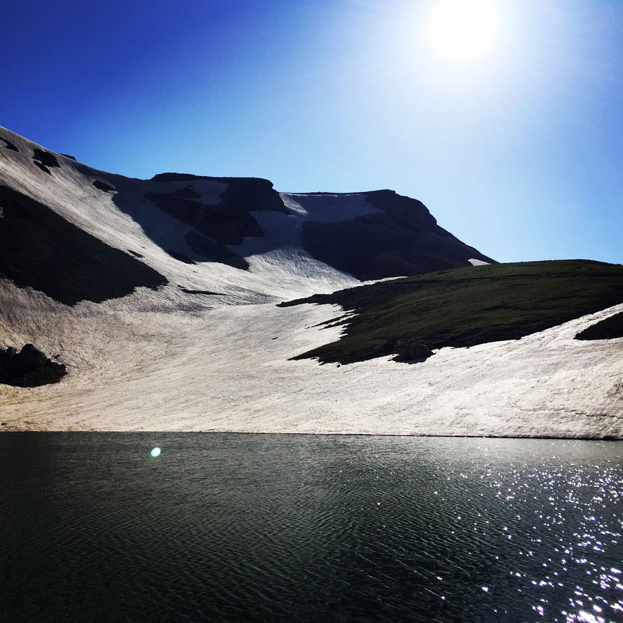
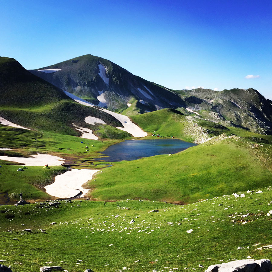
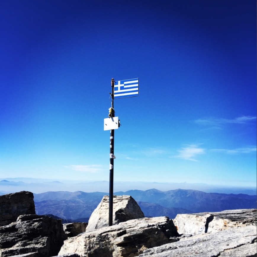
1. Olympus Mountain, Thessaly – Macedonia
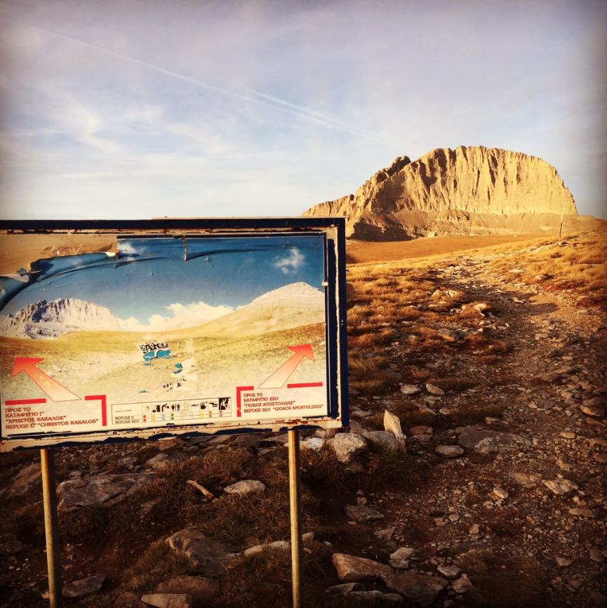
On the list of iconic mountains of the world, Mount Olympus surely has a place. Not only is it a geographically impressive peak, rising straight from the Aegean Sea to a height of 2,918 m, but it’s also one of great mythological importance. Eleven of the twelve major Greek gods resided in the gorges of the mountain, while Zeus himself claimed Stefani peak for his throne. The gods would come together on the highest summit, Mytikas, to determine the fate of the mortals they ruled.
The first known ascent of Olympus was in 1913. Today, an estimated 10,000 people climb the peak annually, though far fewer attain the ultimate summit of Mytikas. The best info is at the website for one of the refuges, but it only covers the trail that passes by that refuge.

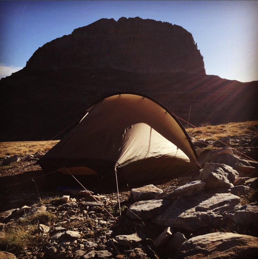
The town of Litochoro, at the base of the eastern side of Olympus, is the classic base-town for the mountain. There are frequent buses to Litochoro from Thessaloniki and Katerini to the north. We started our trail towards the Petrostrouga refuge. We walked though the woods which was providing us shade from the summer sun.
Climbing Mount Olympus is a non-technical hike, except for the final section from the Skala summit to the Mytikas peak, which is a YDS class 3 rock scramble. It is estimated that 10,000 people climb Mount Olympus each year, most of them reaching only the Skolio summit.
Bellow a list of the most common Trails for Mount Olympus.
Subscribe & Stay Informed
Enter your email address to follow this blog and receive notifications of new posts by email
Before you leave this blog check out the following map
Below: This map marks all the mountaineering adventures that have been featured on Olympus Mountaineering so far, including several Sport climbing crags – Select full screen to expand, zoom in for more detail, or click on a marker for a link to the post.

Great review. And after having read about Mt. Olympus all of my life, this is my first actual view of it. Must say, it was much different than I expected. Thanks. –Curt
LikeLiked by 1 person
Hi Curt
Thanks for your kind comment and I’m pleased to know you liked the review.
I guess you have read about the myths and gods of Mt. Olympus?
It might sound strange, but hiking or climbing on this mountain feels special each time I visit it.
Again, thanks for taking the time to read through this post and thumbs up to your own blog.
LikeLike
I am a fan of Greek mythology. I suspect that climbing Mt. Olympus would be special to me as well. –Curt
LikeLike