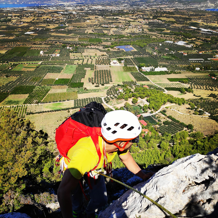
It has been quite some time I was driving through the area where Mt. Onia (Oneia) is located and I was always wondering if I could go for some multipitch trad climbing there. I did the research and I figured out there are three established routes on this part of Mt. Onia and last June, just after the Covid-19 lockdown, I decided to visit the area and give it a try.
Though, in June the weather was way too hot and the sun was right above the north face of Mt. Onia (Mt. Oneia) and therefore we decided to not do the climb. Few months passed since the first try and in the beginning of October we decided to visit again the area and give it a try. We decided to climb “Tsirio to Proto” which is a maximum V UIIA degree of 170 meters of total climb. The 170 meters are divided in five (5) pitches.
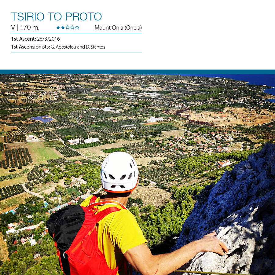
Tsirio To Proto | V UIAA 170 meters
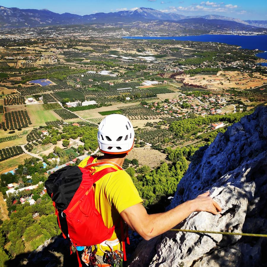
“Tsirio to Proto” (V, 170 m.) first ascent was made in 2016 by G. Apostolou and D. Sfantos. The route is located the north face of Mount Onia (Oneia), just few kilometers far from the city of Corinth. The route, can be described as a recreational multipitch climb for amateur climbers that want to explore their skills in traditional multipitch climbing. This is a very atmospheric route with great views towards Saronic sea and the Corinthian gulf.
Download for free the complete route description and Topo map
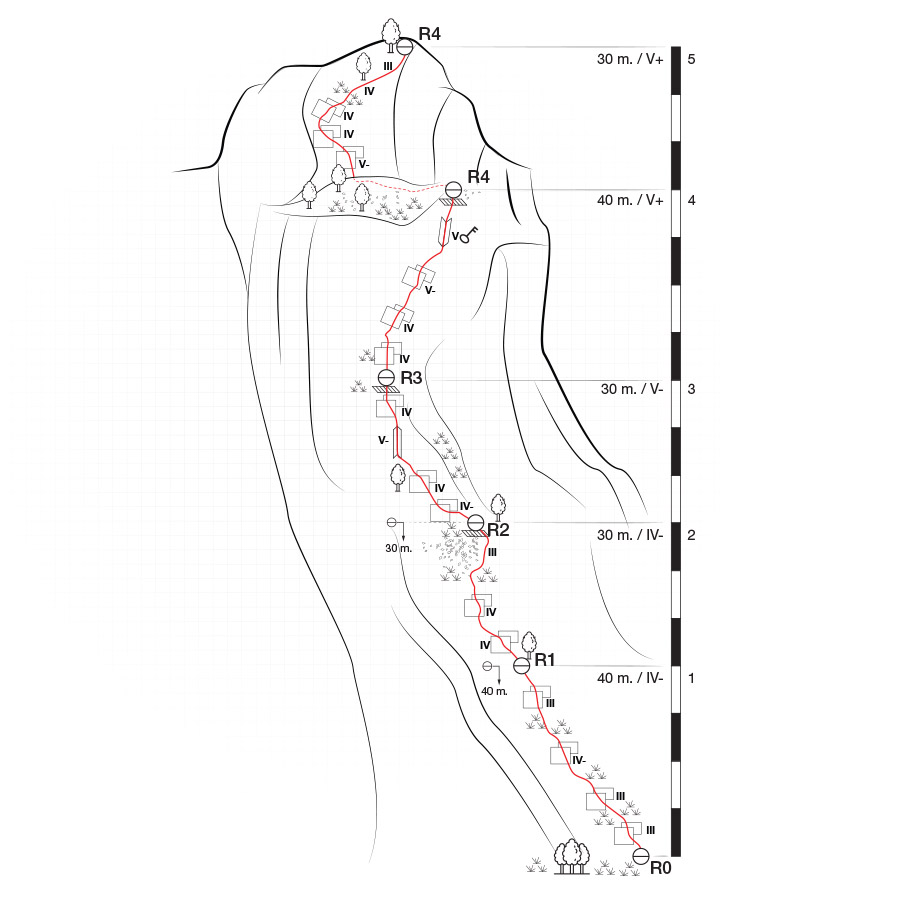
Tsirio To Proto V UIAA 170 m. | Topographic Map
If you are going to climb alpine rock faces, you will need the most detailed information possible about the rock and the route. All this can be found on a topographic map: This is a graphic representation of a climbing route and can usually be found in a guidebook or on certain websites. The lead climber should always have the topographic map at hand when on the rock face.
Like any map, a topographic map uses symbols to represent information about the rock. Climbers can orient themselves on the basis of these standardised Symbols. Illustrations indicate the climbing direction, the length of each pitch and the number and type of belay points. Further indicators that can help with orientation include a logical route, the rock quality as well notable features on the rock.
Bellow a topo of the route Tsirio To Proto V UIAA 170 m.
General Route Information
“Tsirio to Proto” (V, 170 m.) first ascent was made in 2016 by G. Apostolou and D. Sfantos. The route is located the north face of Mount Onia (Oneia), just few kilometers far from the city of Corinth. The route, can be described as a recreational multipitch climb for amateur climbers that want to explore their skills in traditional multipitch climbing. This is a very atmospheric route with great views towards Saronic sea and the Corinthian gulf.
Approach
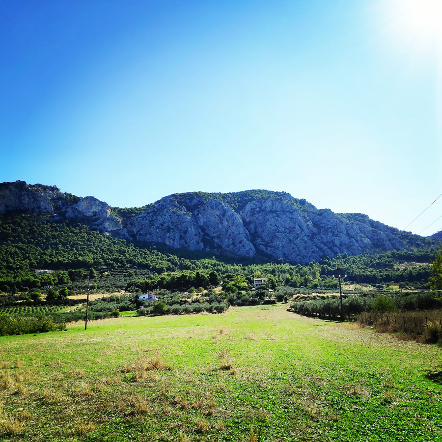
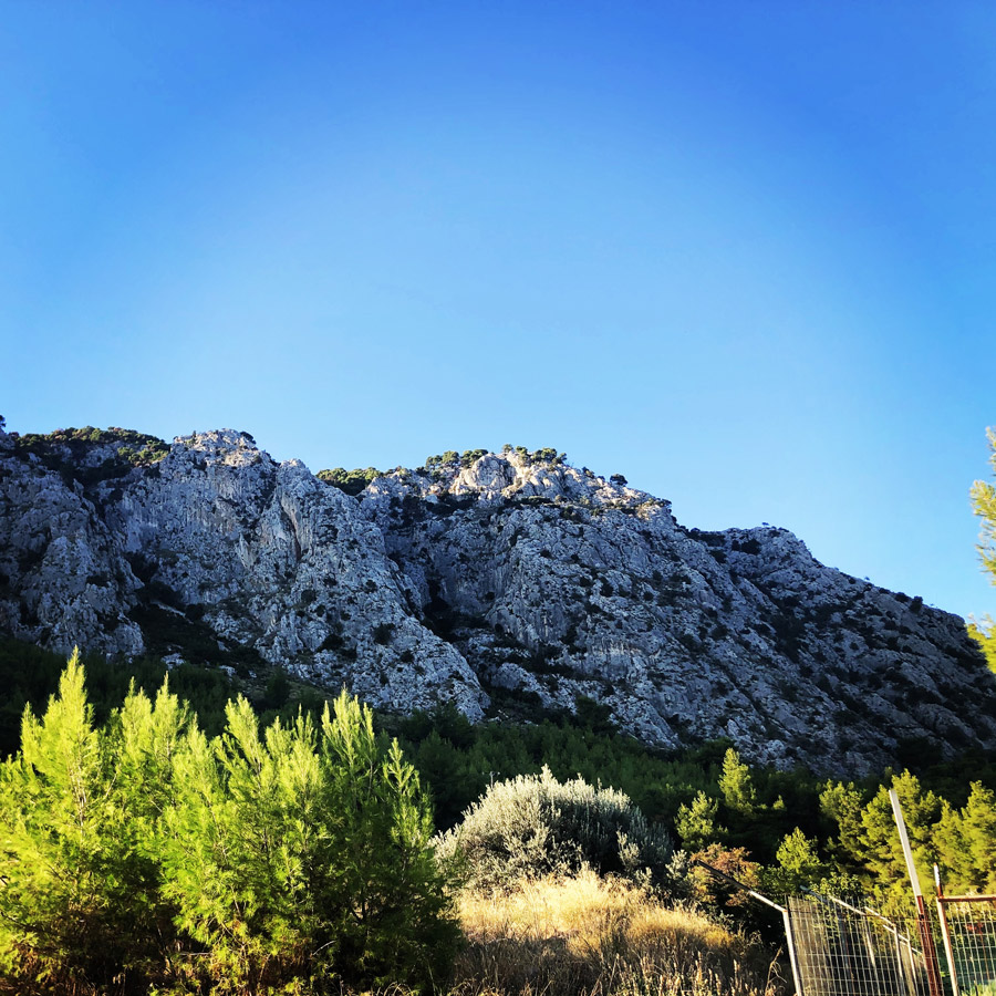
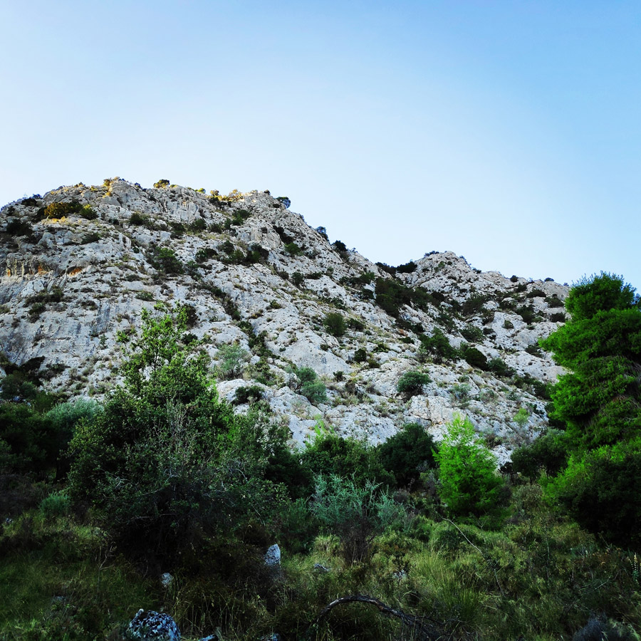
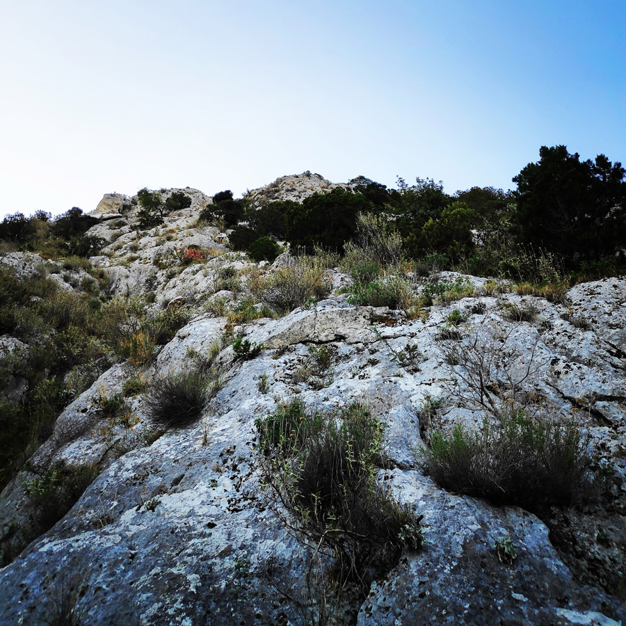
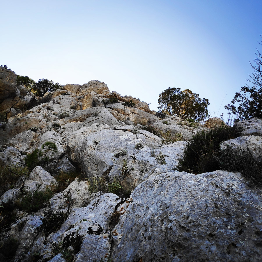
The route is located in the rocks under the peak Oxy on Mount Onia (Oneia) and specifically on the north face of the mountain. Its orientation is north.
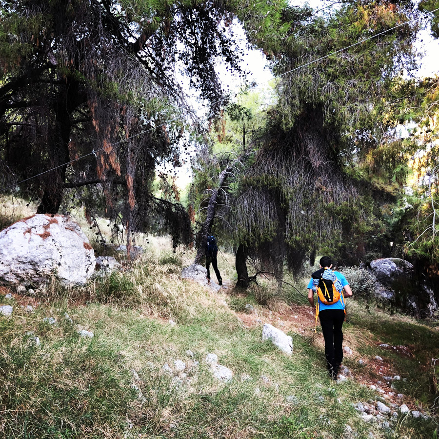
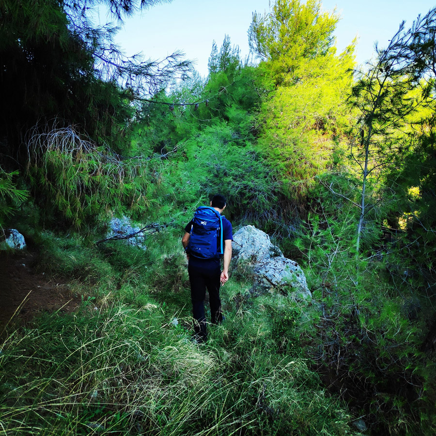
Approaching the R0 requires about 20 minutes of hiking from the parking lot.
- Parking lot coordinates: 37.876928, 22.970717
- Beginning of the route: 37.874461, 22.967683
Route Description
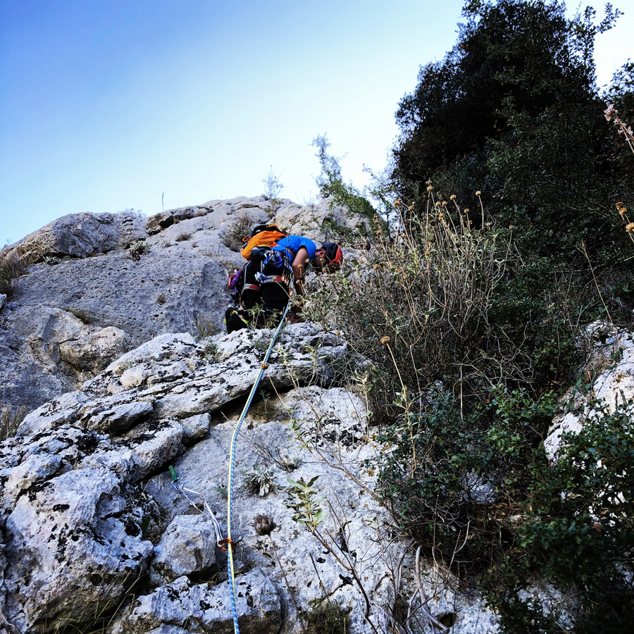
R0 – R1 | IV- 40 m.
The route starts with the first pitch (40 m.) exactly at the base of the north face (37.874461, 22.967683) between two couloirs. The climb starts with a III UIAA on top of a ledge where there is grass and rubbles and we continue scrambling (attention to the loose rocks) towards the top about 15 meters higher we climb a slab of IV UIAA and then we get a slight left direction.
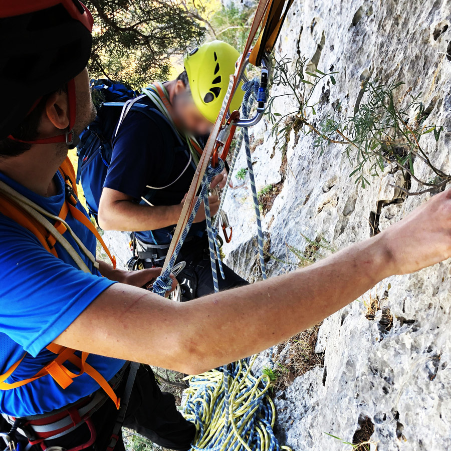
We continue on a slab of III UIAA and we move towards the east (left) where we see a tree. On that tree with do the first secure belay.
The belay is comfortable for two people, but for a group of three, perhaps is better to use also the second tree that is situated there.
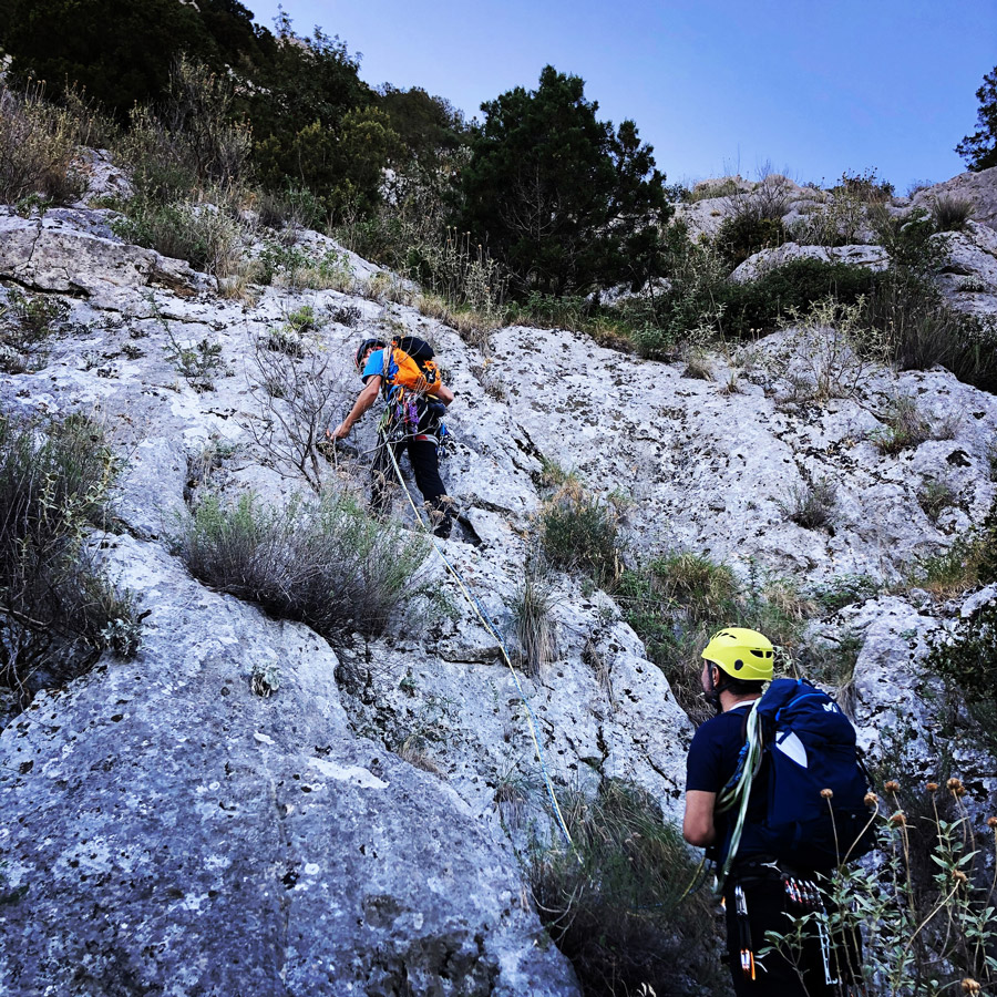
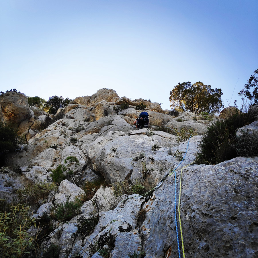
R1 – R2 | IV 30 m.
From R1 to R2, we soon start a climb on a slab of IV UIAA and upon that we continue to climb up in another slab of IV UIAA.
As soon we overcome the two slabs, we see some rubbles and we pass them from the right side. On that point, we have to do some easy scrambling of III UIAA up to the point we reach another tree (on our right side).
We use that tree for belay and the belay position is very comfortable on a ledge.


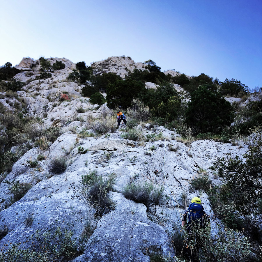
R2 – R3 | V- 30 m.
From R2 to R3, there is a IV UIAA grade passage on the ridge and soon after the difficulty becomes V- UIAA, though this part can be well protected and the climb looks more difficult than it is actual to be climbed.
Upon than we continue to follow the ridge up to a slab passage of IV UIAA grade. As soon we overcome that slab, we see a ledge and we create the third belay (R3).
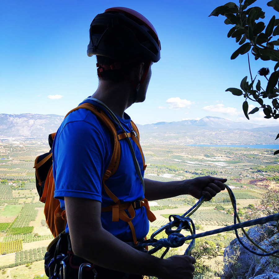
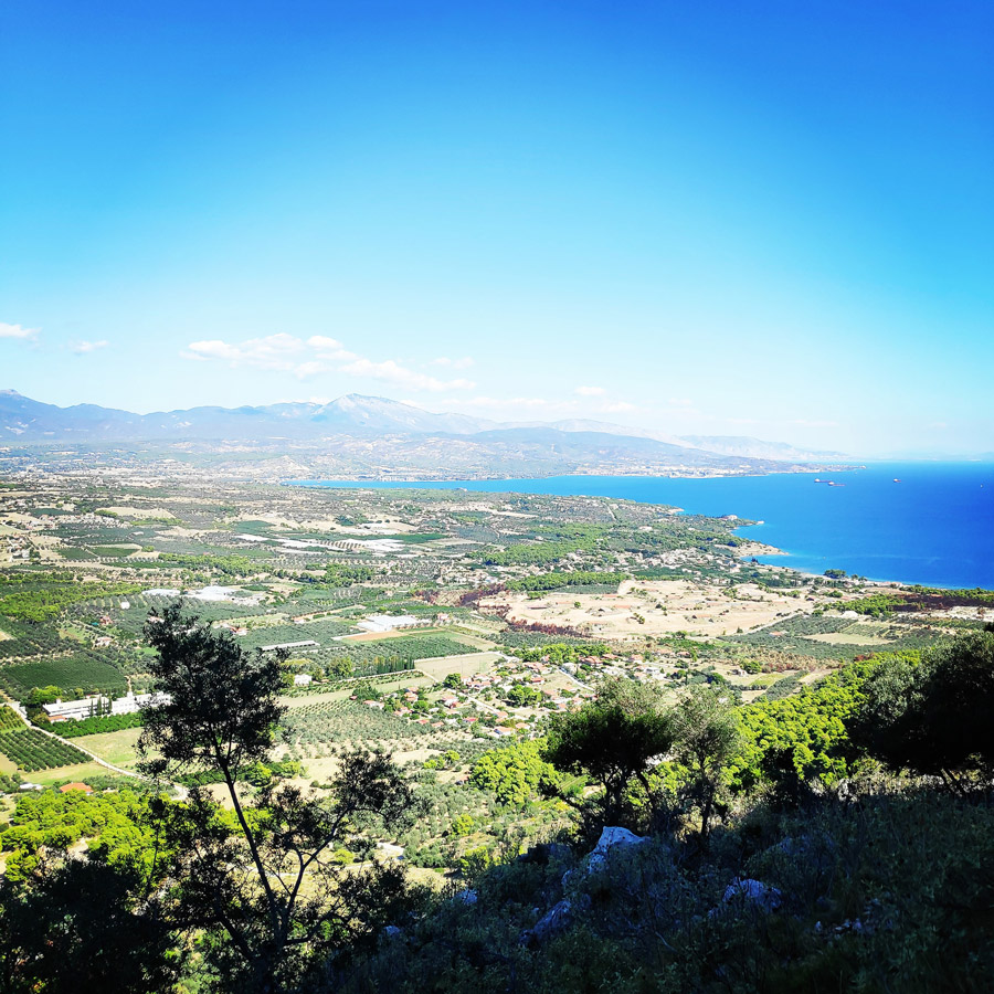
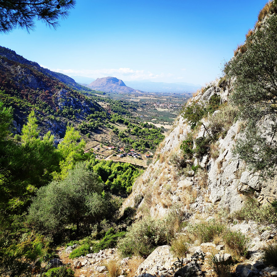
On the third belay, the view becomes really nice and very enjoyable. One case see the beautiful Corinthian gulf, Geraneia Mountains, Acrocorinth, Elikonas, Kitheronas and on a clear day even Parnassos mountain.

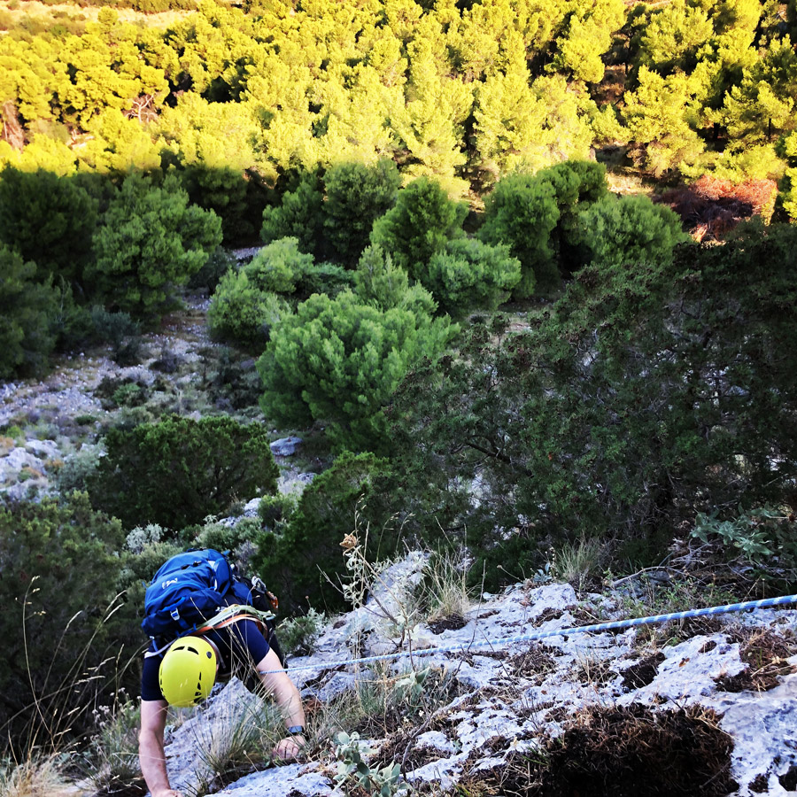

R3 – R4 | V 40 m.
From R3 to R4, we continue to climb towatds the top in repetitive slabs of IV and V- UIAA.
On that point the view towards the Saronic and the Corinthian gulf become stunning. Just before the end of this pitch, we have the crux of the route, a small dihedral of V UIIA grade.
The R4 is done again on a tree on a very comfortable ledge with zero exposure.
From that point and on we have to do a traverse on a large ledge in order to start the fifth and final pitch.
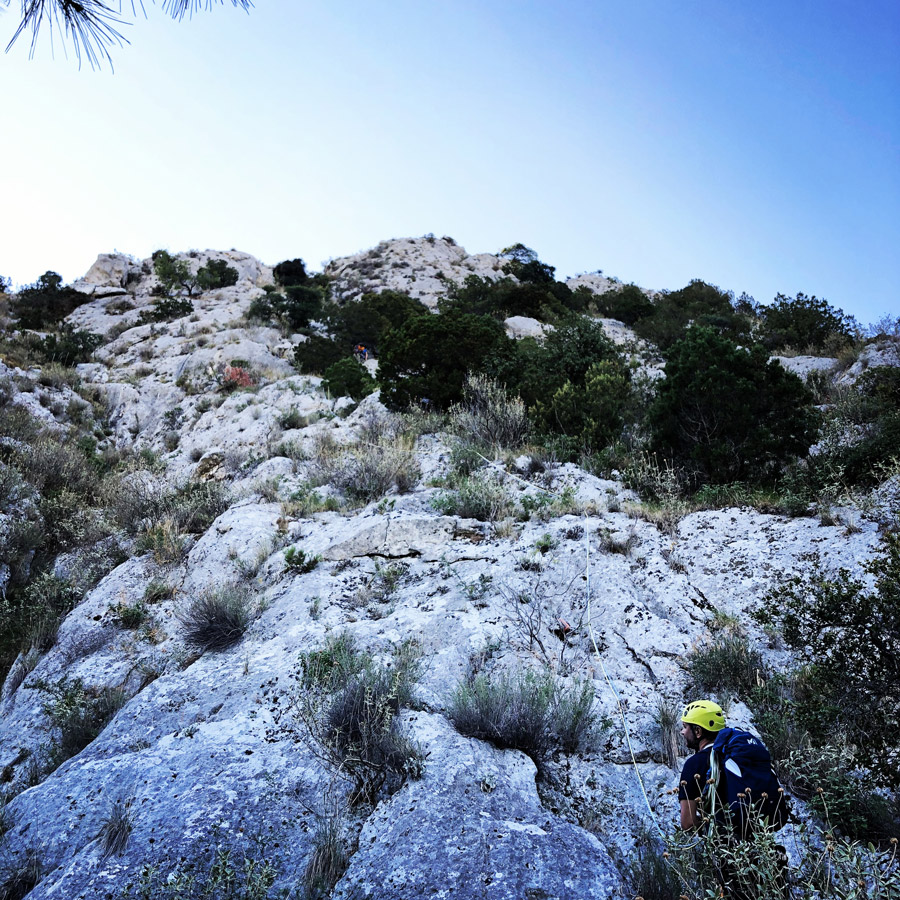
R4 – R5 | V- 30 m.
From R4 to R5, we first need to walk on the ledge for about 25 meters and then to create a new belay on a tree (or on the rock).
From that point and on, we can start the fifth and final pitch which starts on a slab of V- UIAA and continues on slab of maximum IV UIAA grade. As soon we overcome the slabs, we continue with easy scrambling up to the point we see an obvious conical shape rock where we can do our final belay.
The view from the top is really nice and one can easily see the Acrocorinth, the Corinthian Gulf, the cities of Corinth and Loutraki up to Geraneia mountains.


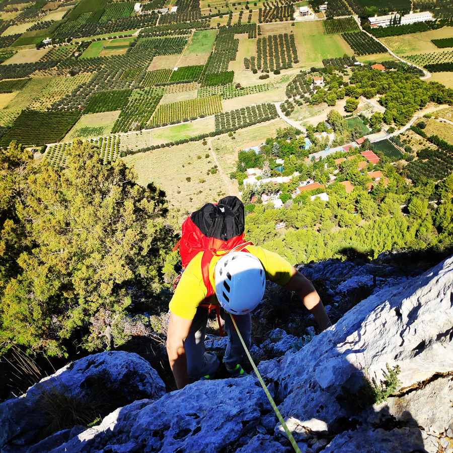
At the top of Mount Onia (Mt. Oneia)
As soon we have completed all five (5) pitches, we had a short break in order to have a snack, some water to collect and redistribute the climbing gear.
Of course, we from that height we also enjoyed the magnificent view on such a beautiful autumn day.

Return
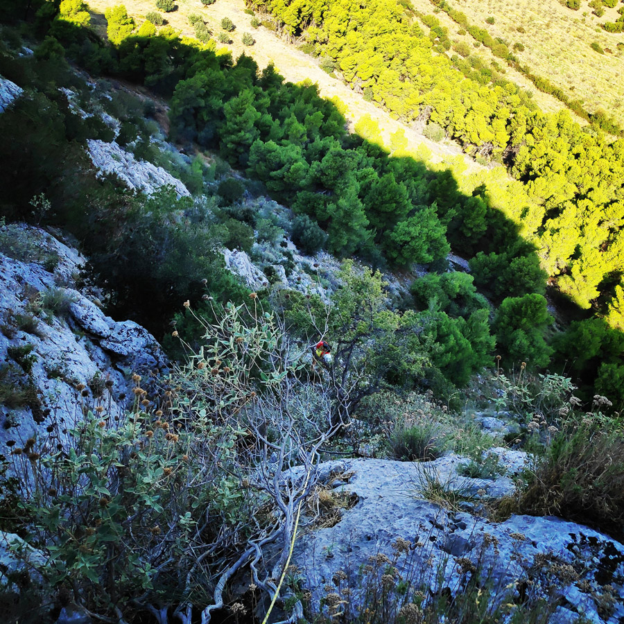
The return starts from the end of the route and we have to move towards the west where we can easily identify a goat trails.
At point 37.873031, 22.967392, we turn right and descend to the couloir that leads us to low vegetation.
From there, we follow the direction towards the parking lot at point 37.876928, 22.970717.
The descent till the parking lot takes about 45 minutes.

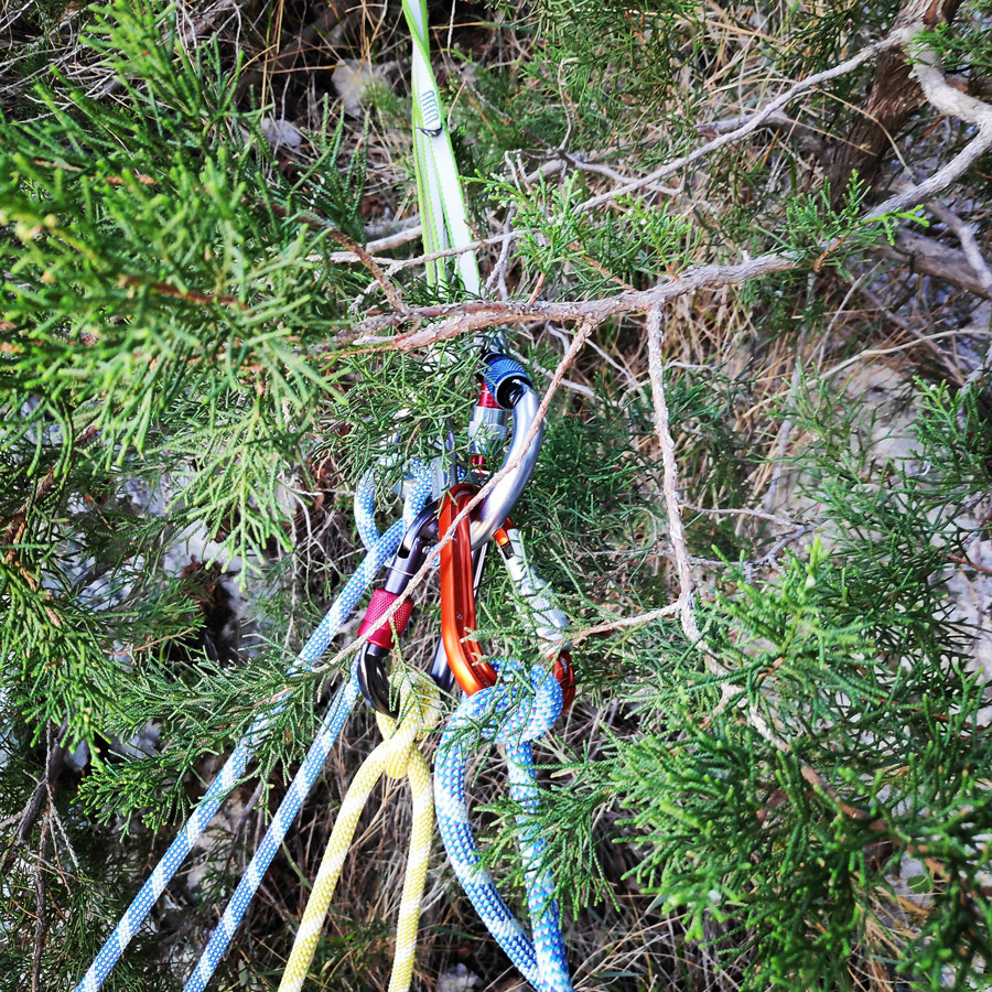
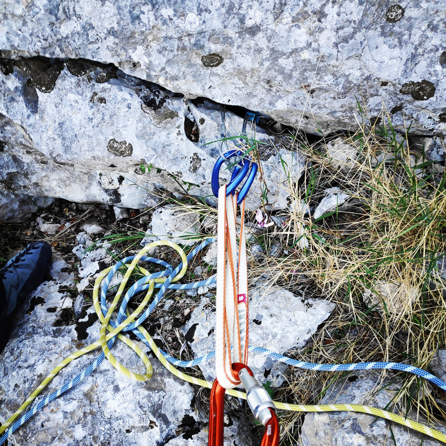
Recommended Gear
For this multi-pitch climb, I used the following gear:
- Mammut Wall Rider Helmet
- The North Face Verto 27 Back pack
- 5 lanyards 60 cm
- 1 lanyard 120 cm
- 4 locking carabiners
- 1 HMS carabiner
- Mammut Ophir Speedfit Harness
- Simond Climbing shoes
- 6 Quickdraws
- Cordelette for prusik
- 2 x 1/2 60 m. rope
- 5 carabiners
- BD Cams
- Reverso
- 1 lt of Water
- 1 energy bar
- Rock Nuts
Download for free the complete route description and Topo map
Below: This map marks all the mountaineering adventures that have been featured on Olympus Mountaineering so far, including several Sport climbing crags – Select full screen to expand, zoom in for more detail, or click on a marker for a link to the post.

Amazing featured image for this post. Your autumn is much different than ours!
LikeLike
Glad you like it Par! Here in Greece, I could say that we still have “summer” weather. Still quite hot and I look forward for the winter season in order to get my Ice axes “out of the dust”.
LikeLiked by 1 person
Ooooooh, I love the Greek landscape. And you had “plenty of this”, for sure !! *.*
LikeLike
Indeed, that is a typical Greek landscape. Fields, mountains and sea and all the above with plenty of sunshine.
Thank you for the kind comment.
LikeLike
Looks like a great climb. I love the views!
LikeLike
It was really enjoyable climb and the views were lovely indeed.
Thanks for taking the time to visit and comment on the blog.
LikeLiked by 1 person
Pingback: Camp Mach Express Dyneema Quickdraw Review – Olympus Mountaineering
Pingback: Hiking at Methana Volcano – Greece (family friendly) – Olympus Mountaineering